West Coast Wilderness Trail
Activity Date:
Updated:
People:
Finn,
Jen,
Penzy
| Sat Mar 20, 2021 Download GPX West Coast Wilderness Trail | 54.21km 5:01:06 | 10.80km/hr 549m ⬆️, 722m ⬇️ |
Comments Section
For the past three years my partner Jen and I have participated in Biketober Christchurch in which a local organisation hosts a series of bike-related events throughout the city during the month of October. The month culimnates with a bike-orienteering-style event where you visit as many “passport” locations throughout the city on a single day.
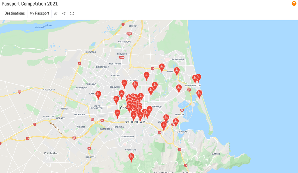
📷: Finn Le Sueur
There are prizes up for grabs and one of our friends (Penzy) accompanied us in 2020 and she won bike hire and transport for a section of The West Coast Wilderness Trail.
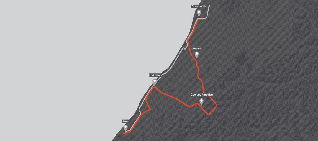
📷: West Coast Wilderness Trail
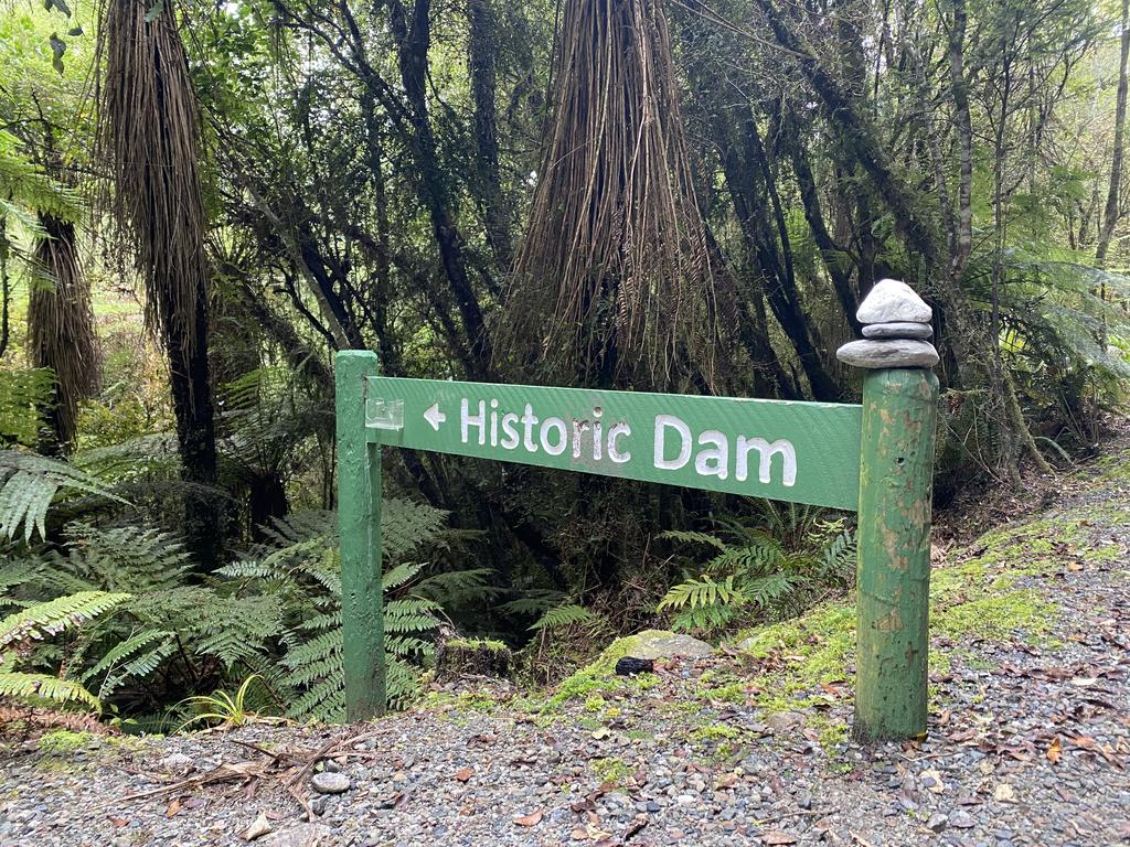
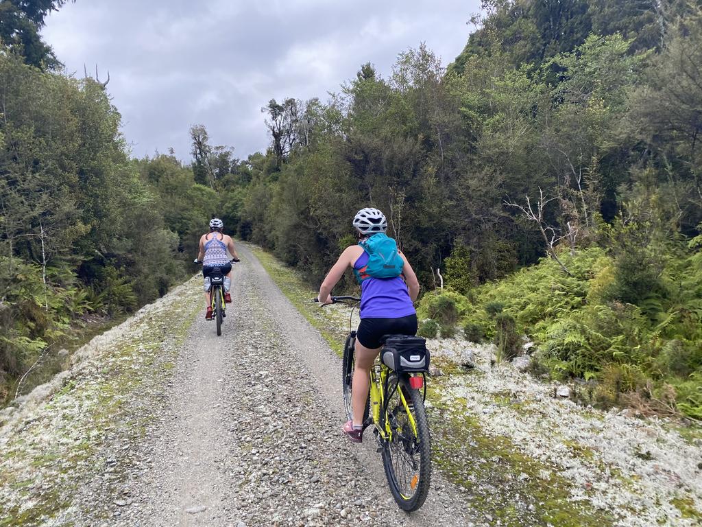
We stayed the night in Greymouth and drove down to Hokitika in the morning. We headed into the see the company that was providing the bikes and transport - Cycle Journeys. The company dropped us off where the trail intersects the Old Christchurch Road. From there the trail follows a nice 4WD trail for a few kilometers before turning into more of a 2-abreast width walking/cycling track. Keep an eye out for a small sign indicating an old dam which you can walk 20min down to the river to see. Pretty cool!
📷: Finn Le Sueur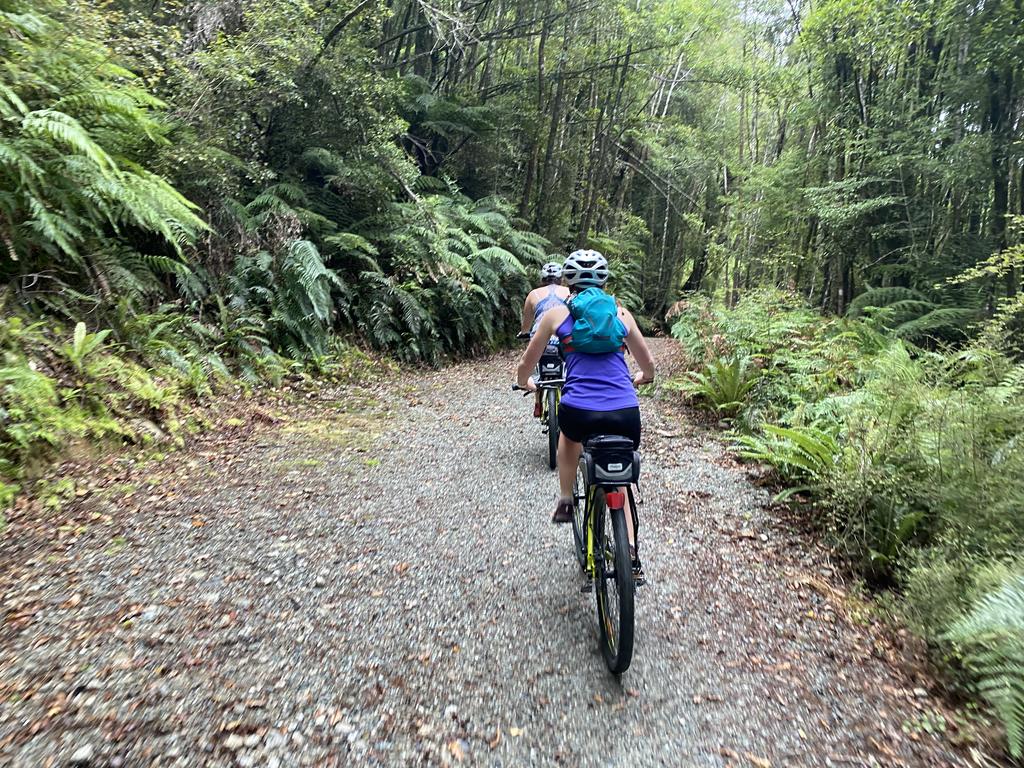
📷: Finn Le Sueur
The trail continues on, climbing gently to Kawhaka Pass which not far off your highpoint for the day. Here there are a couple of information signs on The Southern Alps and the geology below which leads to such dramatic and cool landscapes. This was great - I got to nerd out a little bit and go back to talk to my Year 12 Earth and Space Science class about it!
📷: Finn Le Sueur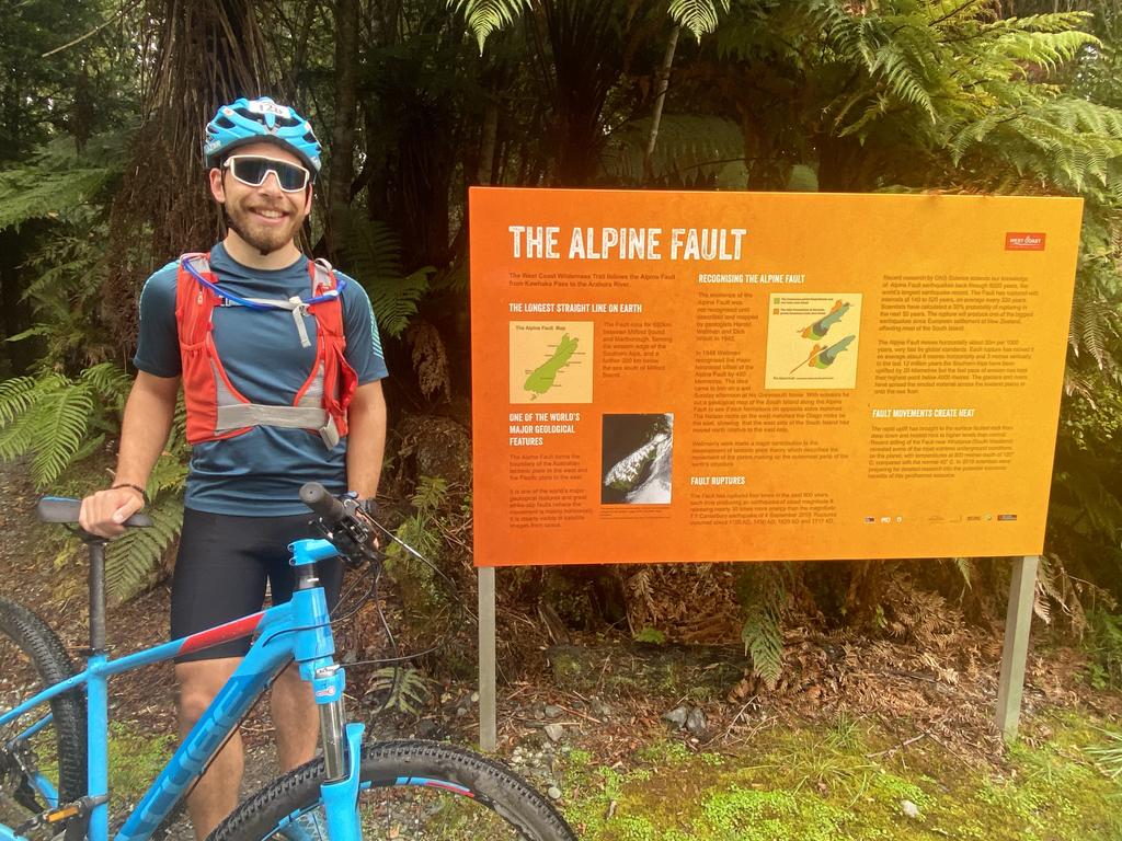
📷: Finn Le Sueur
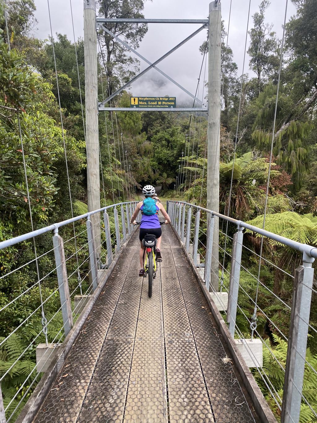
The trail then descends into Cowboy’s Paradise - a place of dubious reputation. You certainly get quite a, uh, vibe when you enter town. Not somewhere I’d choose to stay the night but we indulged in some hot chips before continuing on. There are some great switchbacks as the track descends down to Milltown Road (gravel). It follows Milltown for a number of kilometers and even has a small climb around the side of Pyramid Hill. From there is joins Hans Bay Road around the north end of Lake Kaniere. We took a small break from riding and walked down the little track that looks down from the head of the lake - well worth it!
📷: Finn Le Sueur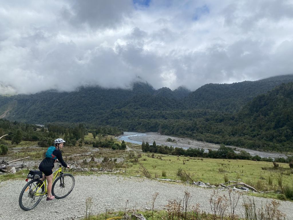
📷: Finn Le Sueur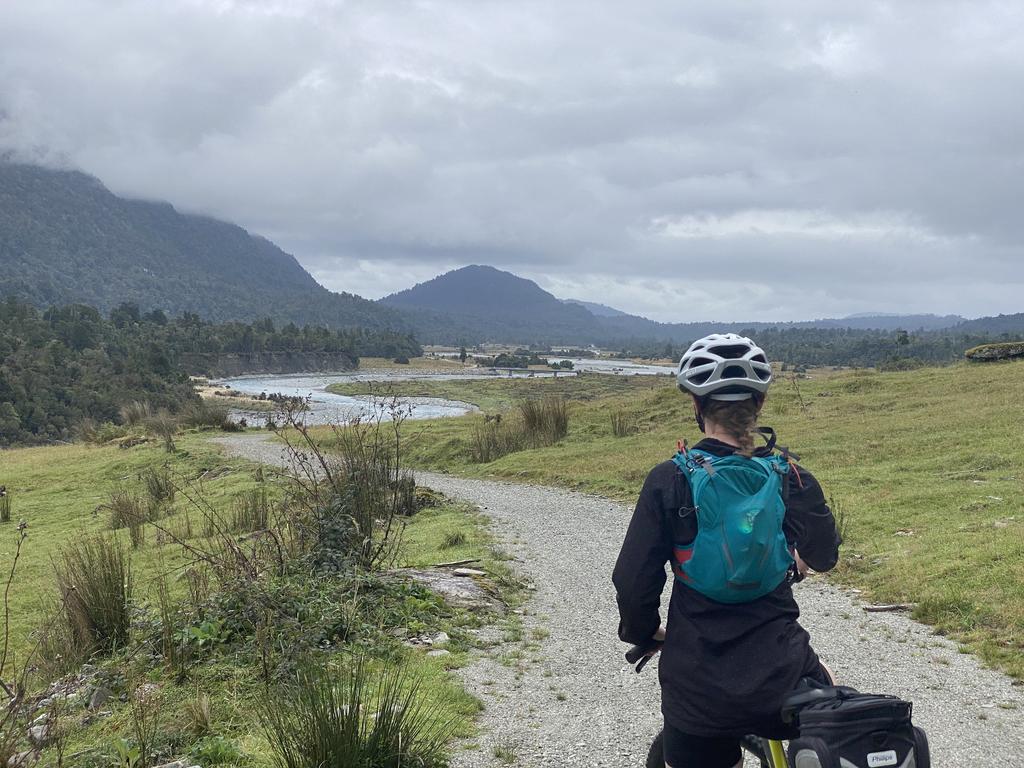
📷: Finn Le Sueur
From there the road section is brief before the track departs the road in favour of the Kaniere Water Race Walkway (cycleway?) which is a really excellent track which gently undulates alongside the water race. I felt a really interesting what if feeling when looking into the deep dark sections of race as they enter the ground under a hill. Spooky. Enjoy this section as it is the last major bit of trail riding for the trip!
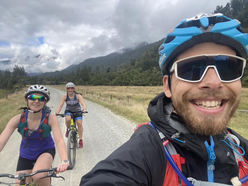
📷: Finn Le Sueur
From the end of the race the trail joins the main road back to Hokitika, departing from the road to coast along the Hokitika-Kaniere Tramway before reaching town.
This was an excellent weekend away and we thoroughly enjoyed it. Perhaps in the future we can come back and do the whole thing!