Te Pua-A-Tāne Circuit
Last updated
Tue Apr 7, 2026
Download
GPX D1: Central Whirinaki Hut | 17.46km 3:52hrs | 4.50km/hr 512m ⬆️, 323m ⬇️ |
Thu Apr 9, 2026
Download
GPX D3: To Upper Te Hoe Hut | 21.55km 7:36hrs | 2.83km/hr 1071m ⬆️, 871m ⬇️ |
Fri Apr 10, 2026
Download
GPX D4: To Mangakahika Hut | 18.16km 6:09hrs | 2.95km/hr 1056m ⬆️, 1068m ⬇️ |
Sat Apr 11, 2026
Download
GPX D5: Out to River Rd | 32.34km 7:37hrs | 4.24km/hr 1029m ⬆️, 1345m ⬇️ |
| Total | 89.51km 25:16hrs | 3.54km/hr 3668m ⬆️, 3607m ⬇️ |
Comments Section
Day 1: To Central Whirinaki Hut
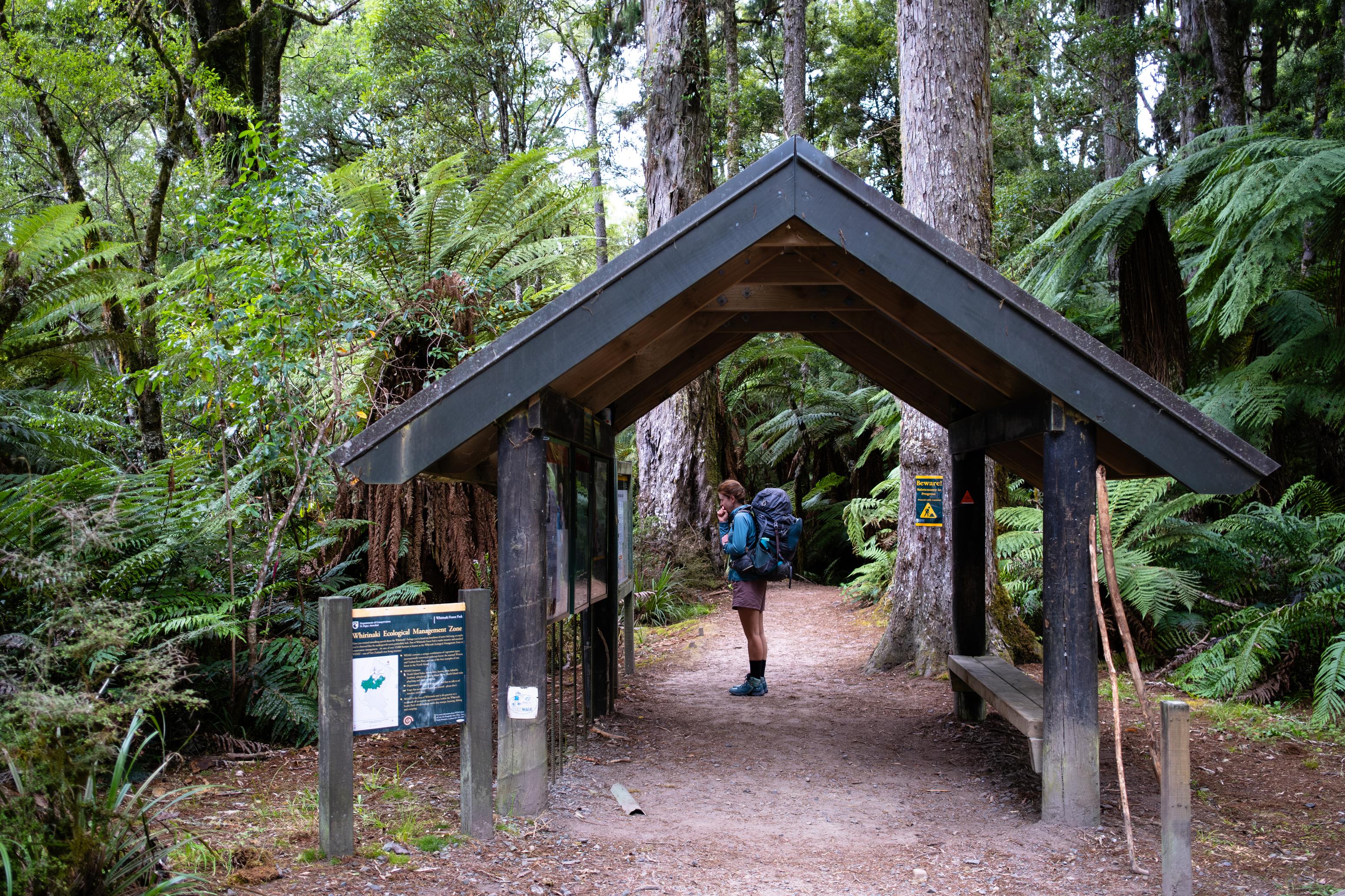
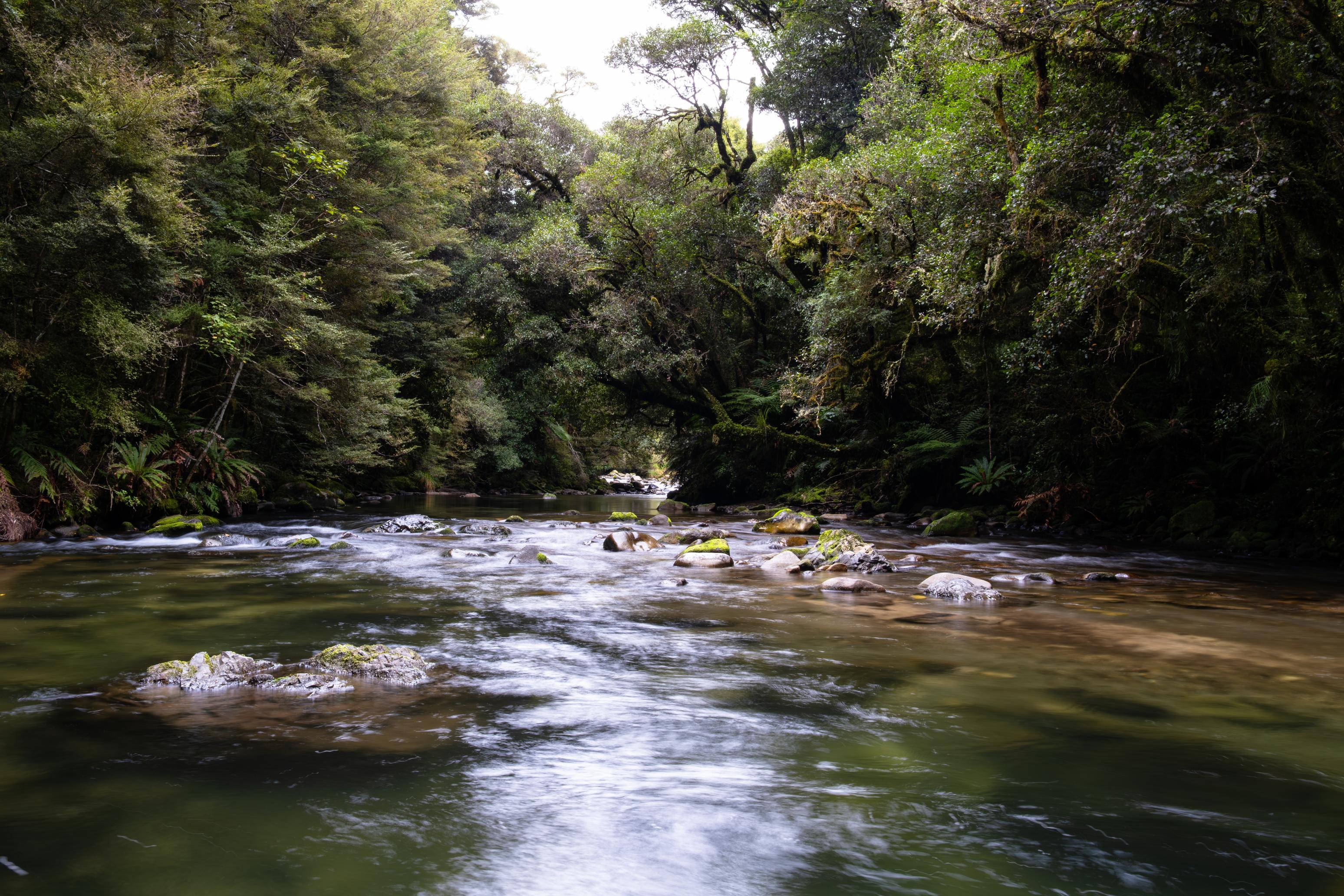
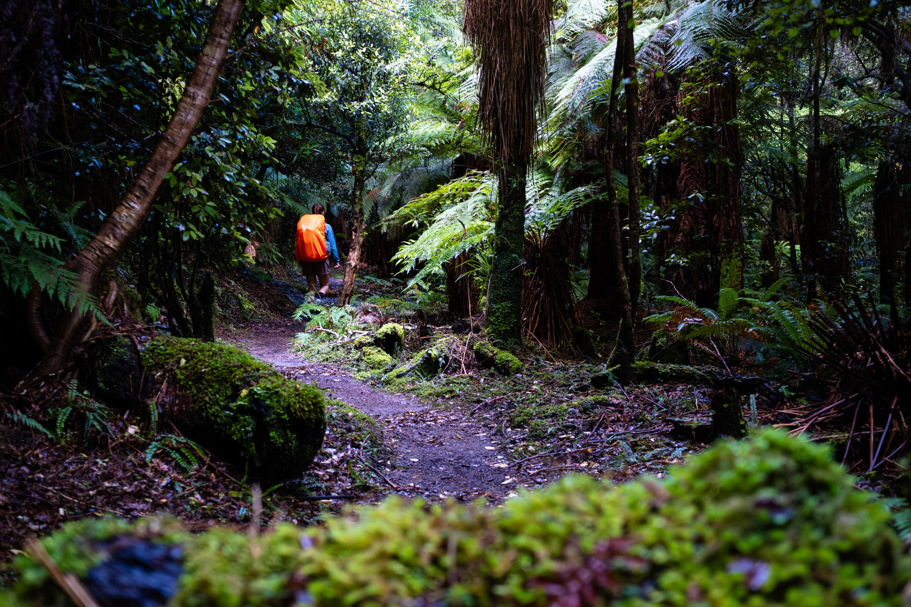
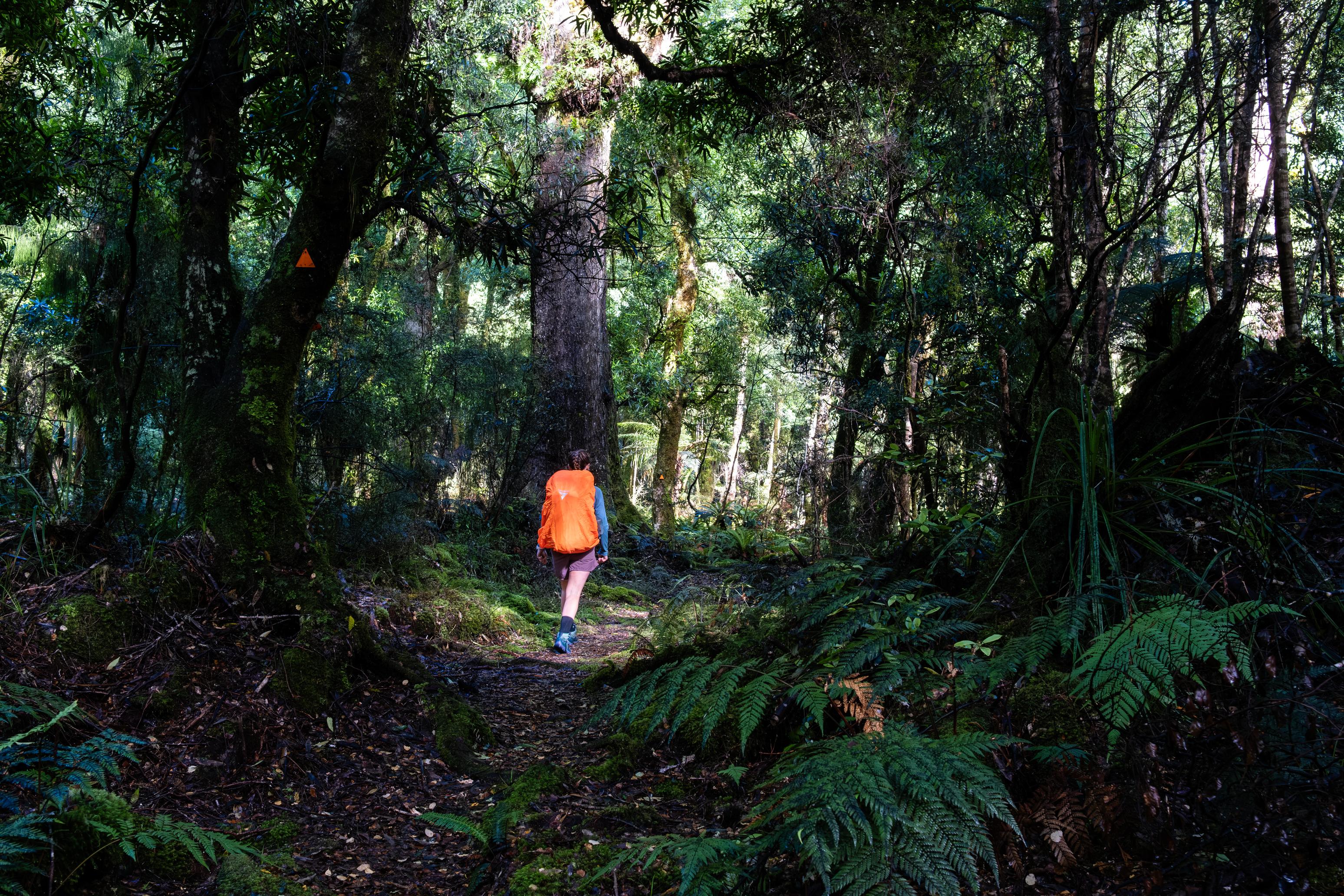
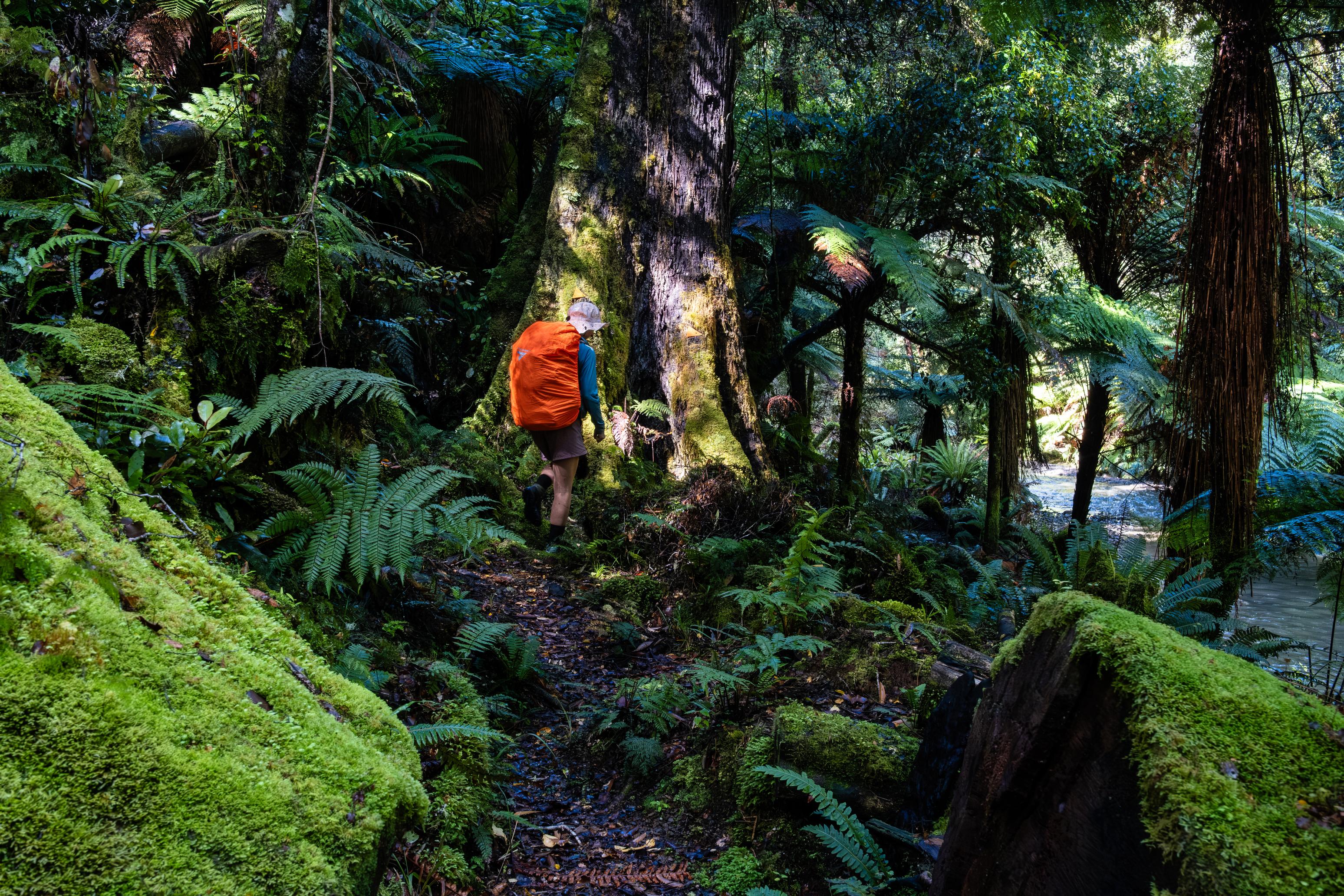
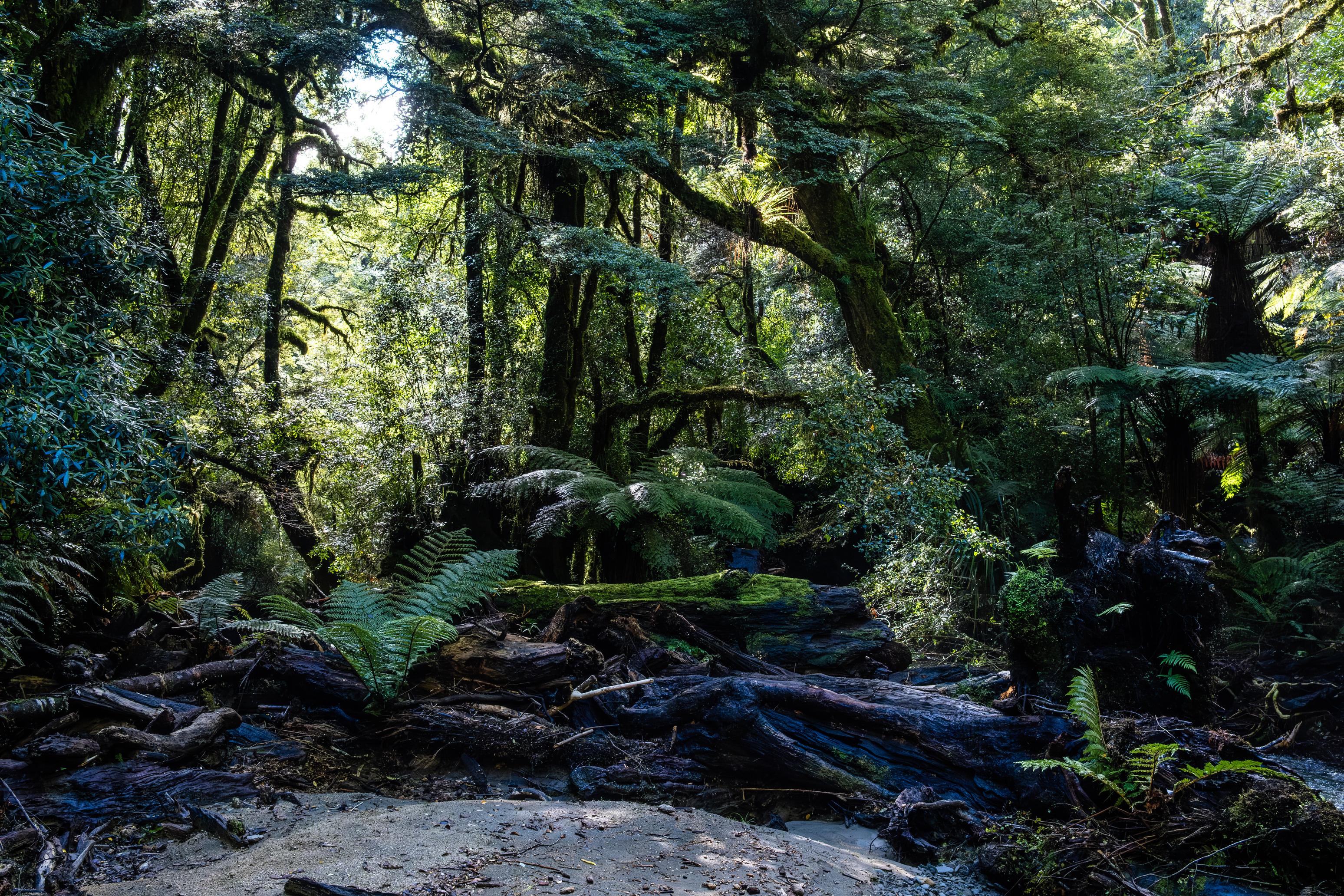
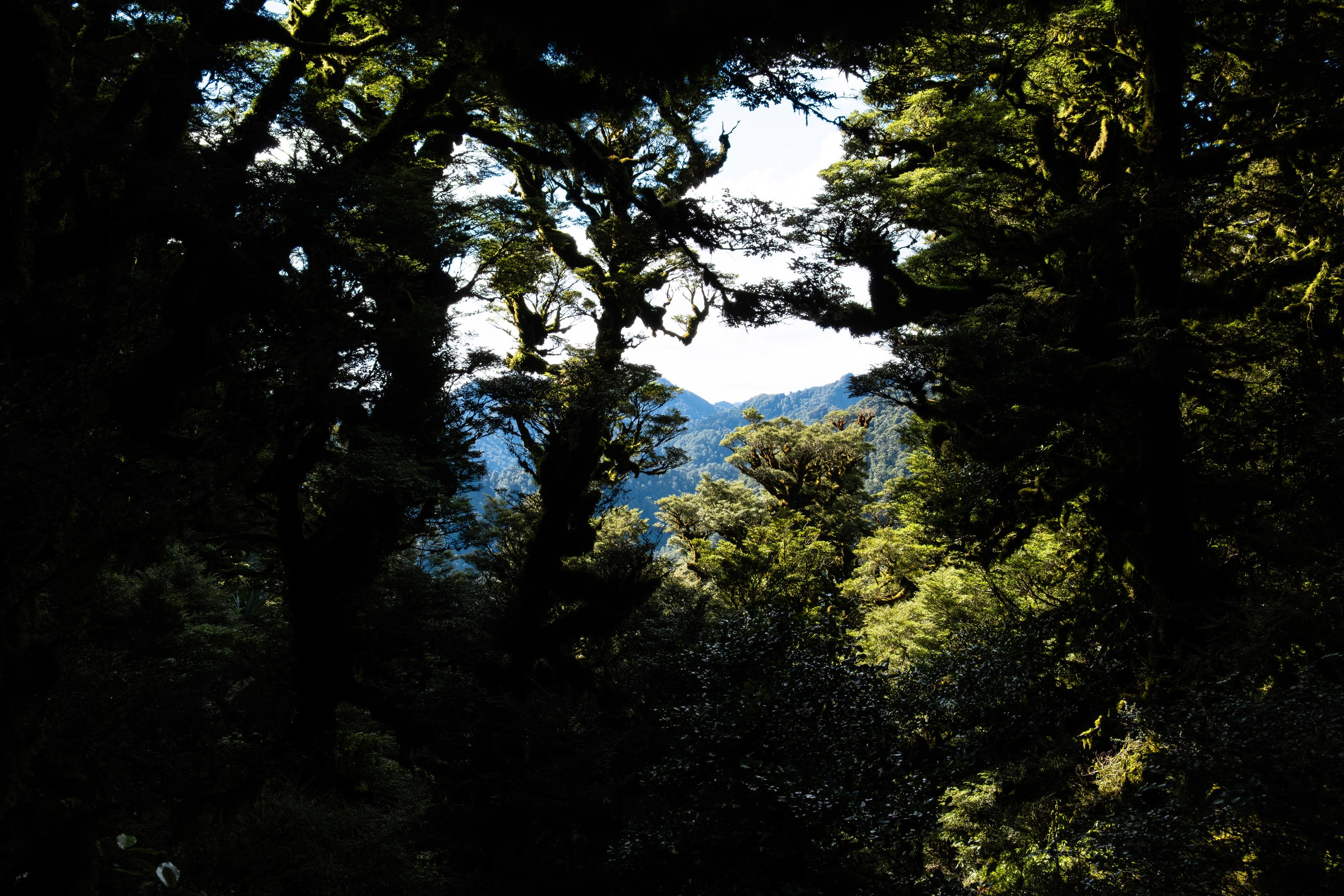
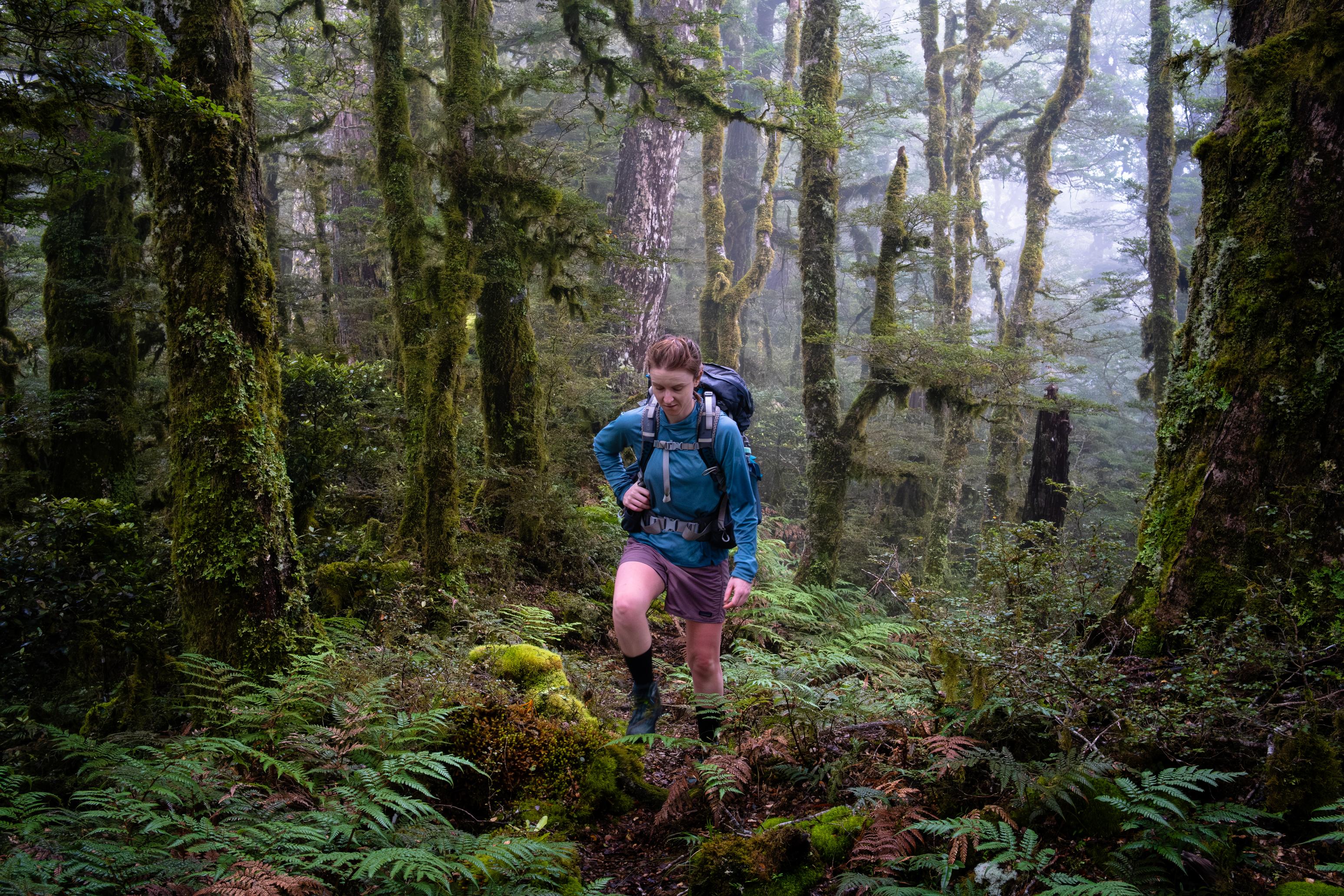
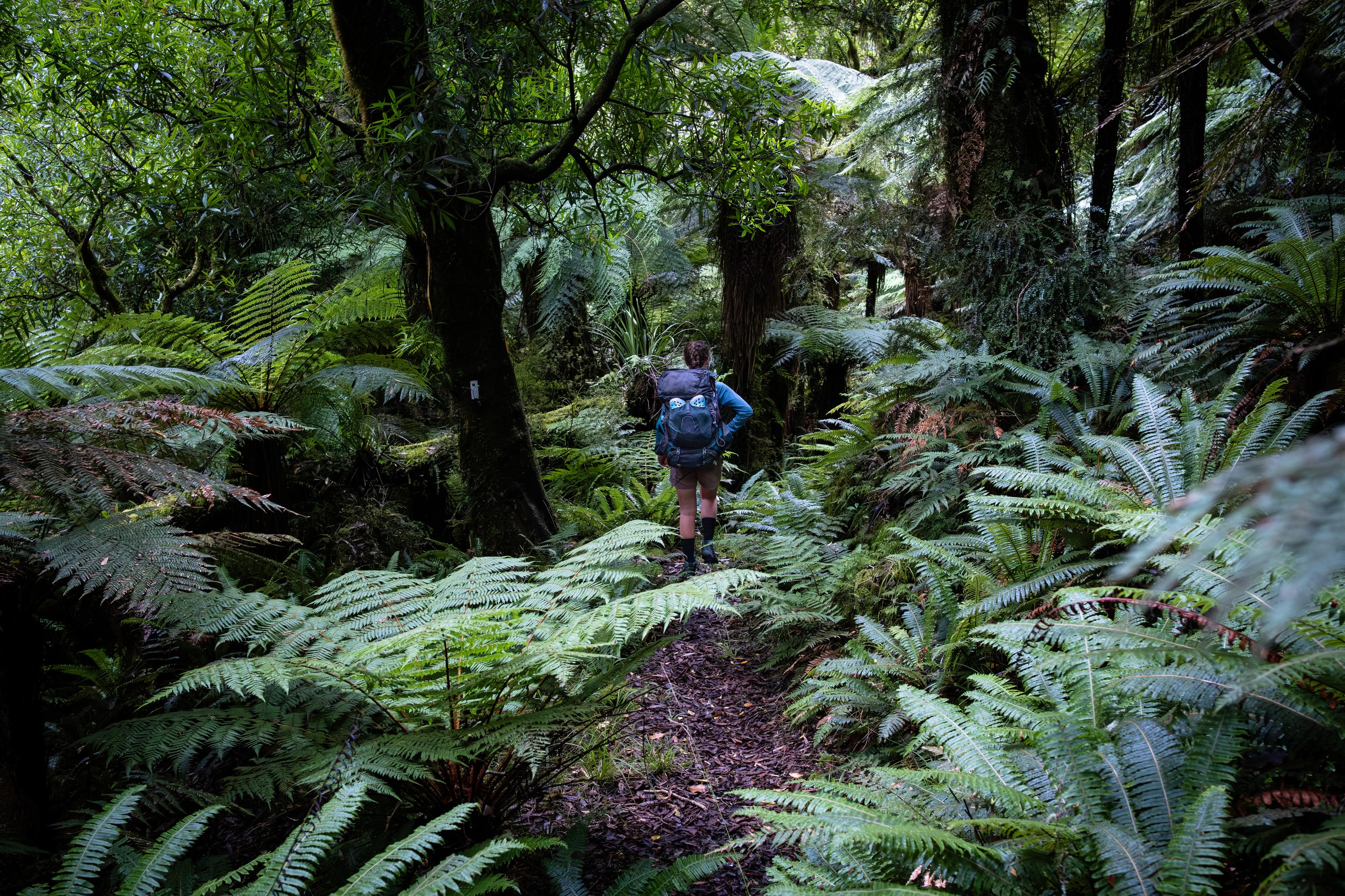
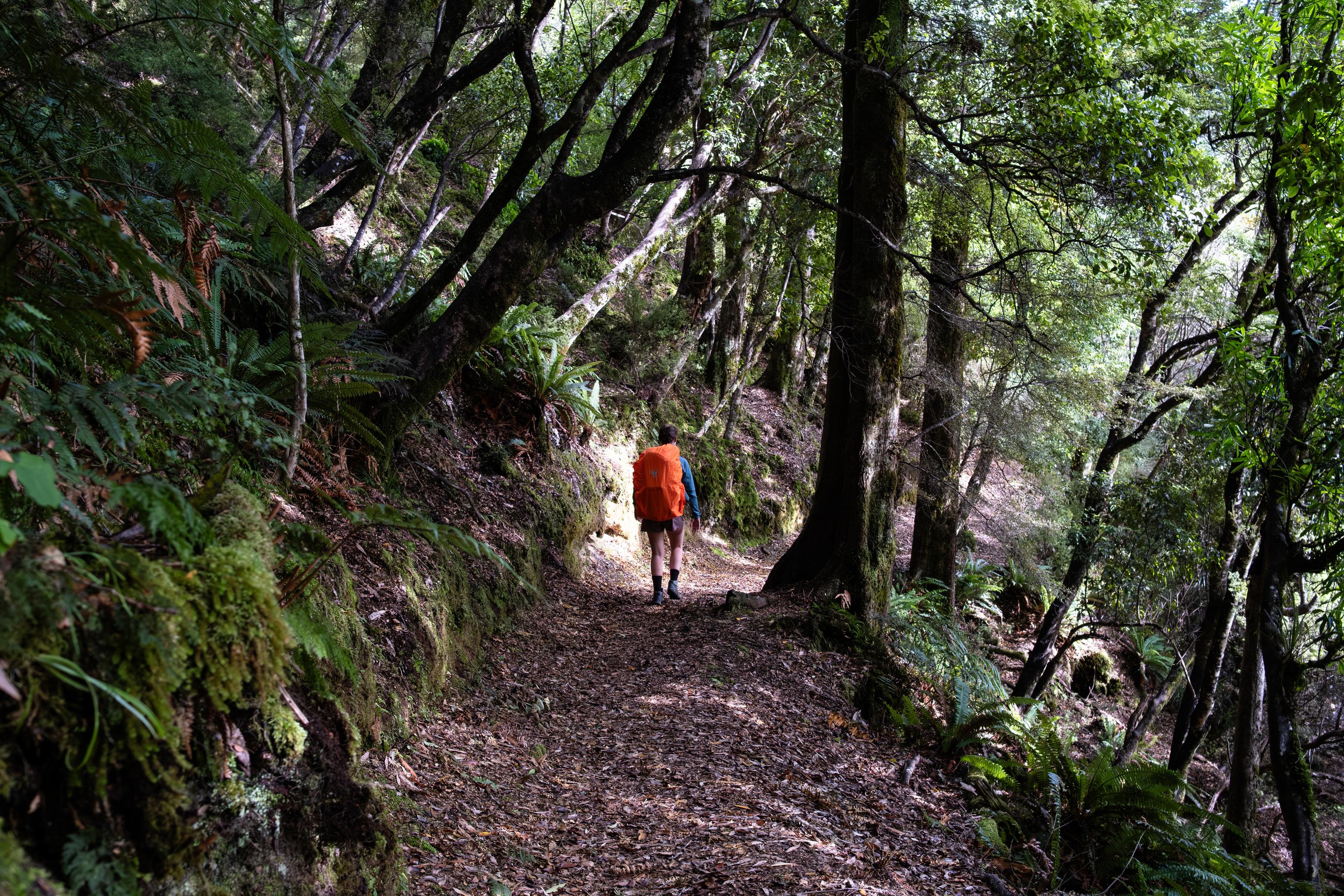
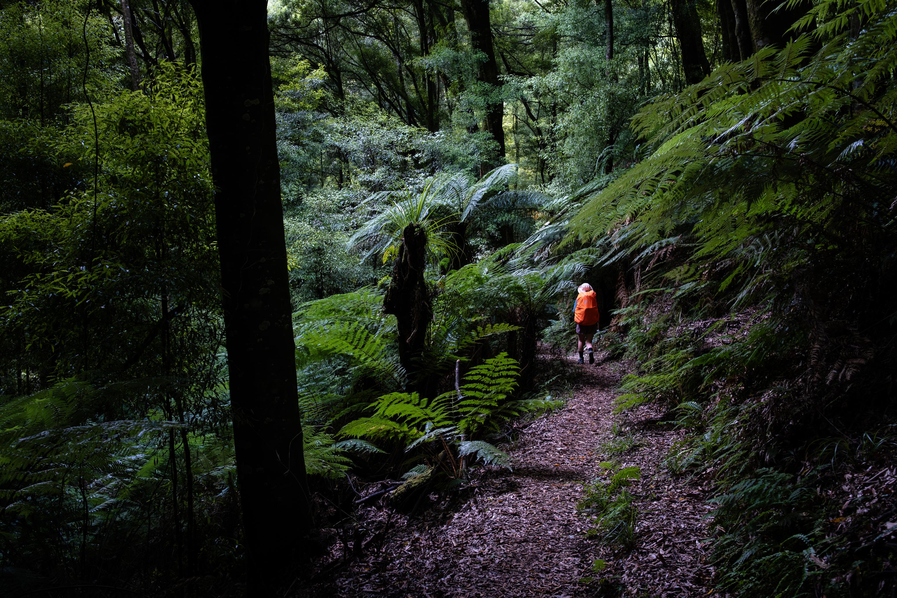
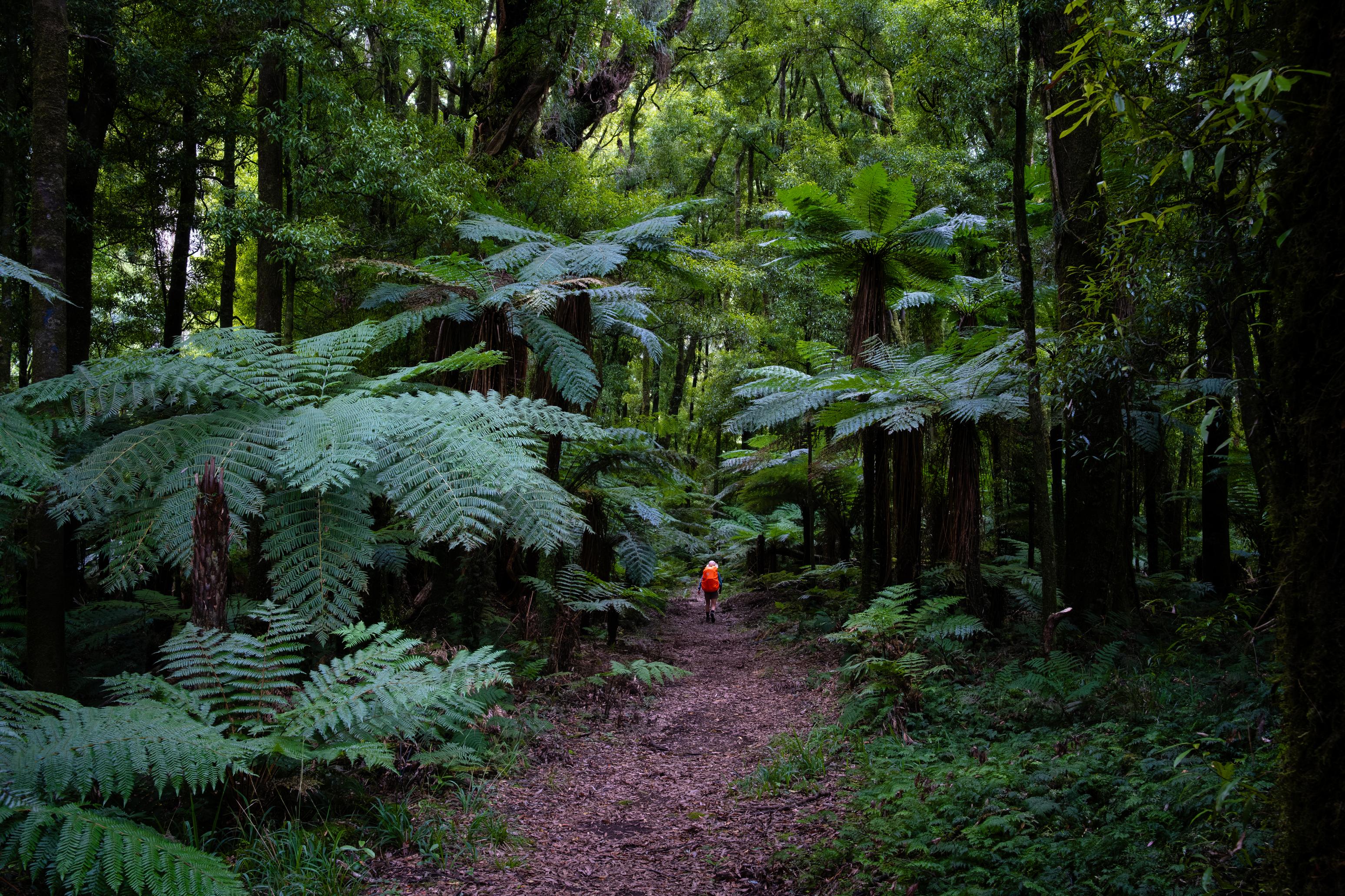
This is our first big adventure since we moved to Hamilton in January of 2026, and we were ready for a break! Work has been quite busy for both of us, and we needed some time away from it all. Thankfully, the drive was not very long (3hrs) owing to Hamilton’s quite central and reasonable location. Stoked. From the minute we parked the car, we knew the forest was going to be something special; the trees were huge, and the bush verdant.
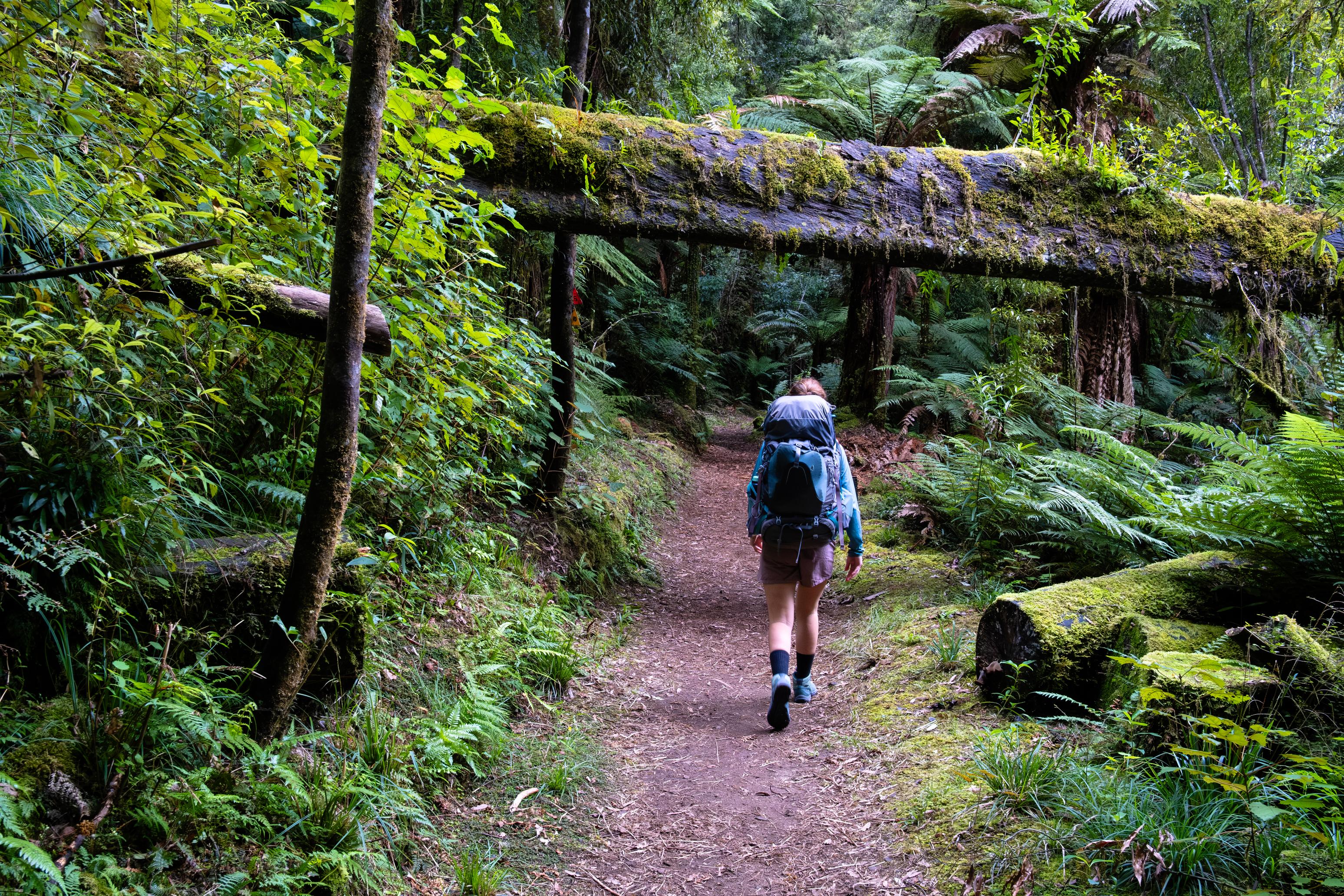
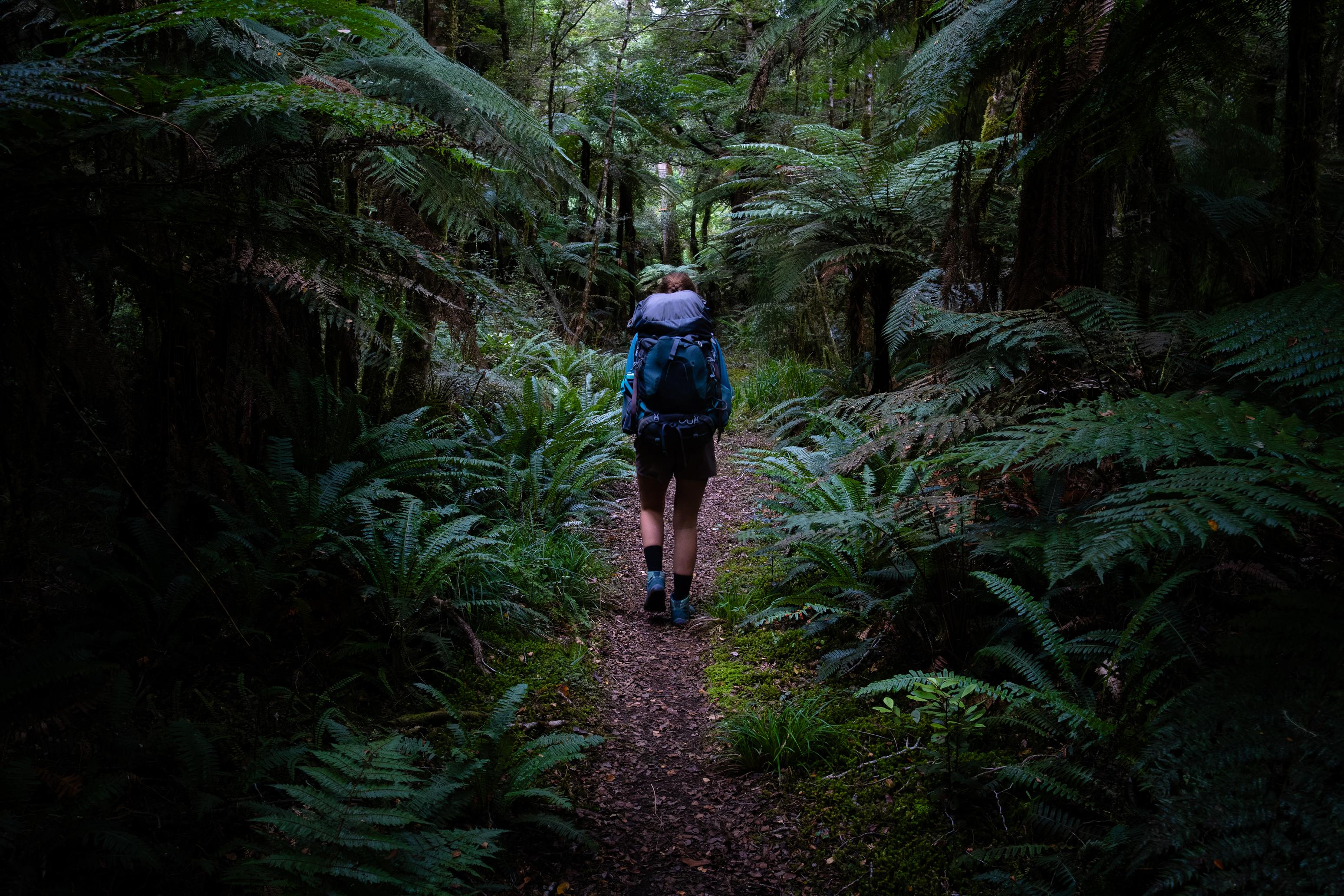
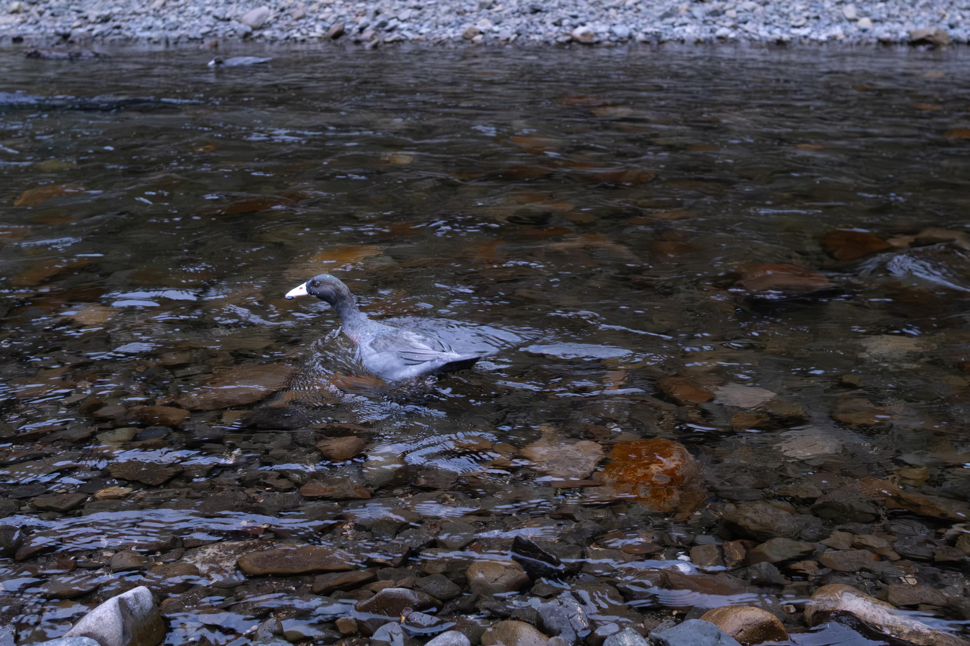
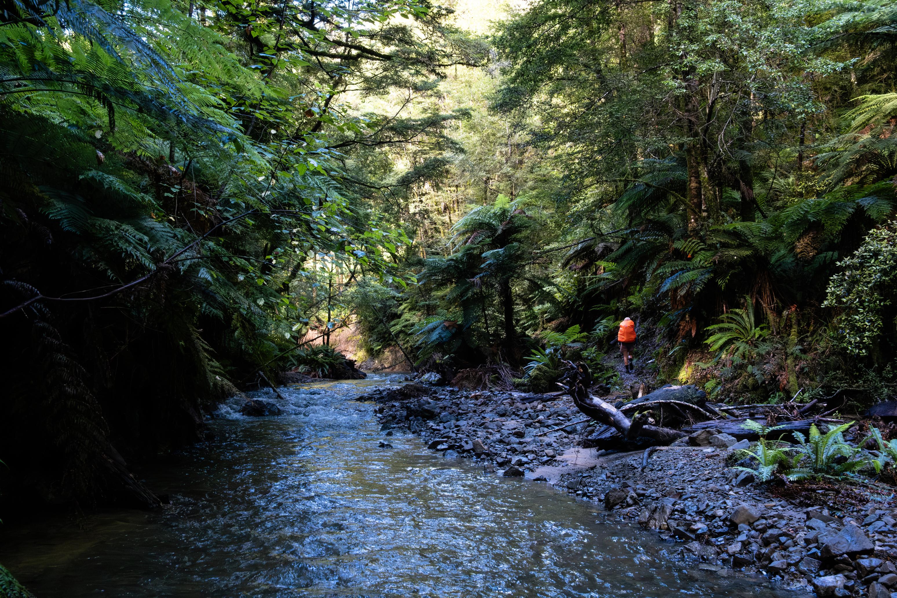
The track to Central Whirinaki Hut is excellent and well-maintained. This is perhaps owing to its classification as family-friendly, easy tramping. We wandered on, not pushing the pace and taking our time to enjoy it. We even stopped at a nice river bend to watch a couple of blue ducks that Jen spotted. I tried to take a photo here, but couldn’t get it to turn out as I hoped. Alas.
There were a few short ups and downs, but nothing resembling an actual climb. This left us feeling fresh and not sweaty by the time we reached the hut 4hrs later. There were already a number of people there and the fire was going (it was already too warm!). We left the wood-gathering duties to them and spent the afternoon and evening eating and chatting with the other hut-goers. Many of them were heading out the following day due to the incoming rain, while a couple of older men were heading to Upper Whirinaki Hut (not a long walk).
We talked slightly too late into the evening (sorry, other people) and then headed to bed.
🍴 Baked beans on mash potato
🍫 Hot drinks & coconut block chocolate
📷 Finn Le Sueur
📷 Finn Le Sueur
📷 Jen
📷 Finn Le Sueur
📷 Finn Le Sueur
📷 Finn Le Sueur
📷 Finn Le Sueur
Day 2: Hut Day!
While the other parties got up at a reasonable hour, we were happy to stay in our bunks for another hour before getting up just before they headed out the door. At this point, it was still grey outside, but not actively raining. By the time we headed outside to gather firewood for the day, the rain had properly come in. We did our best to cut wood on the deck and not get too sopping wet. We also left a good deal of wood to dry for future hut-goers. Central Whirinaki is a serviced hut, but it is often low on firewood.
After that, the rest of the day was quite uneventful. Of note, we ate a 6-pack of hot cross buns, which we toasted on the fire and covered generously in butter that I carried in specially for this occasion. The rain came in surges, often dying away to a slight mist before coming roaring back and sounding like it could drown the world, hammering down on the metal roof.
☕️ Porridge & coffee
🥜 Hot cross buns 🌮 Hummus & cheese wrap
🍴 Mexican bean mix on rice
🍫 Hot cross buns, chocolate, hot drinks
Day 3: To Upper Te Hoe Hut
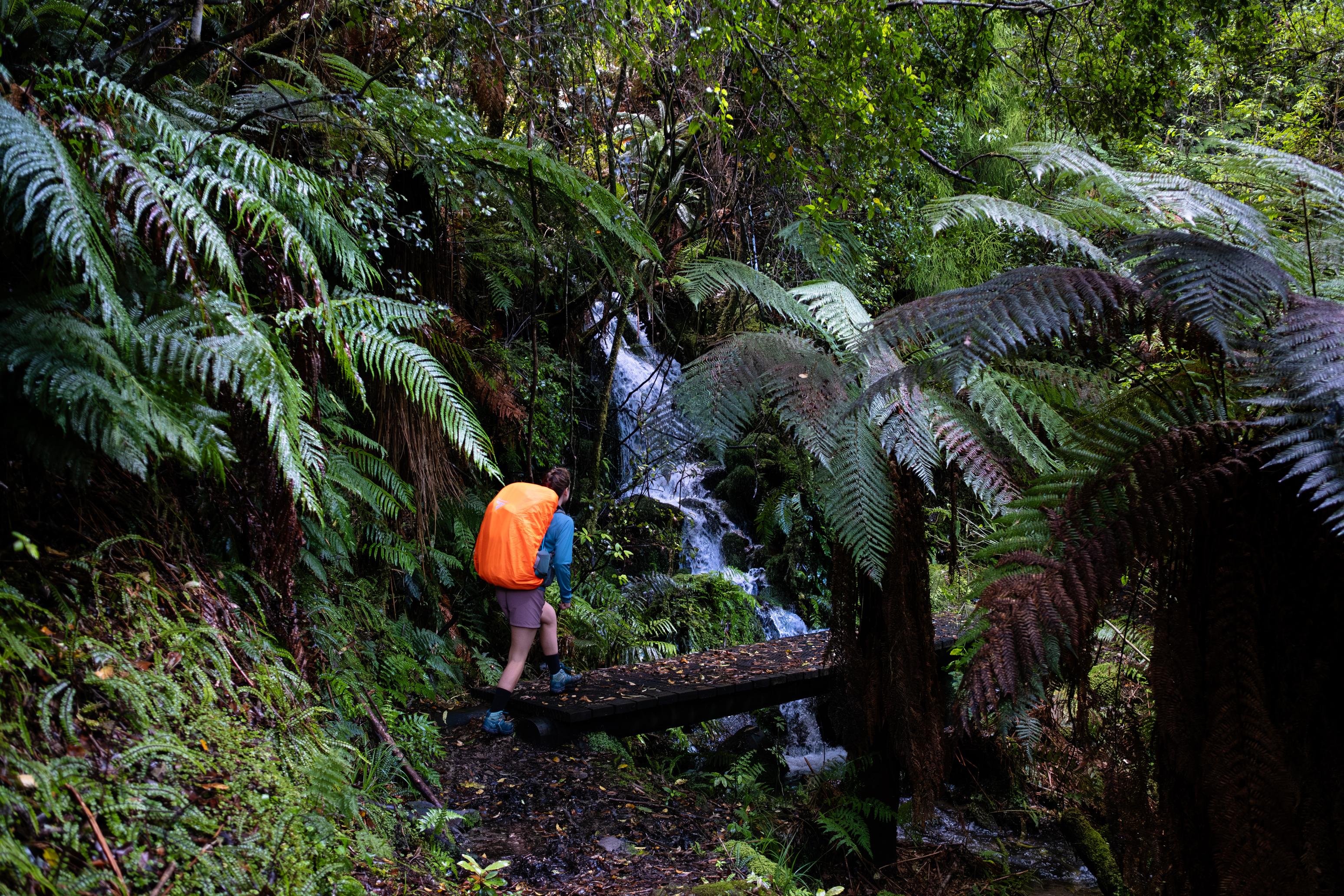
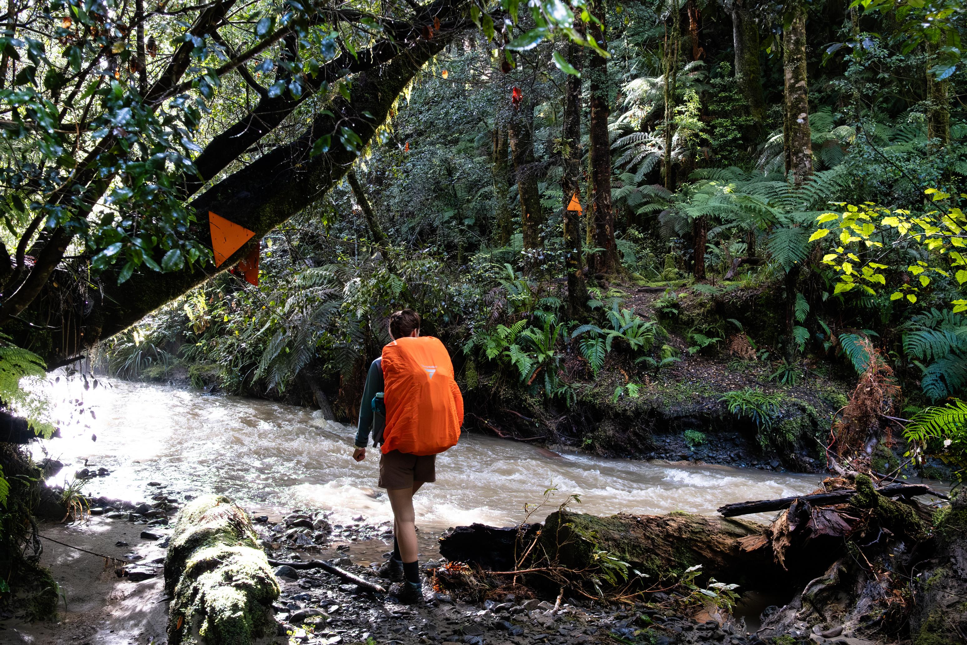
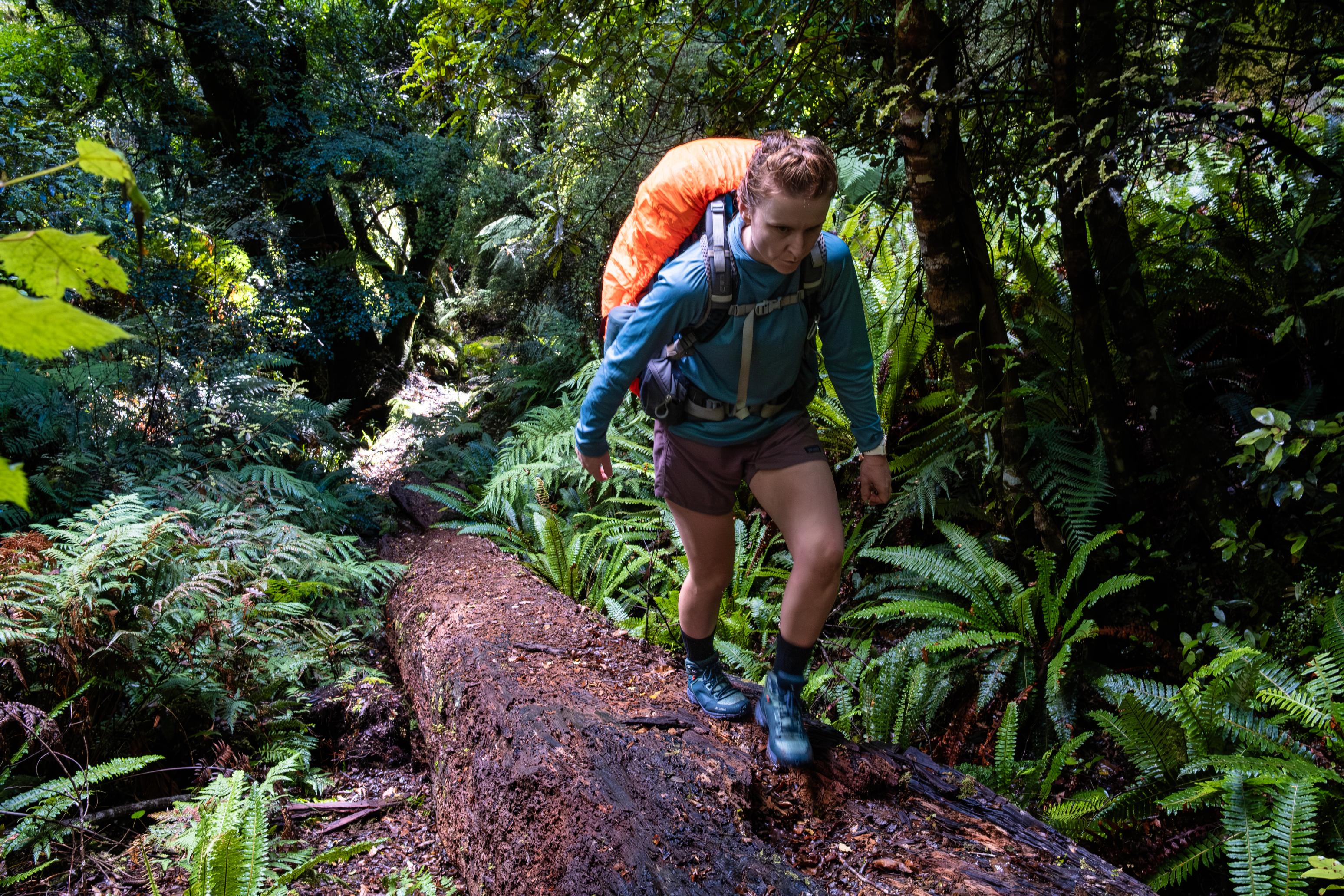
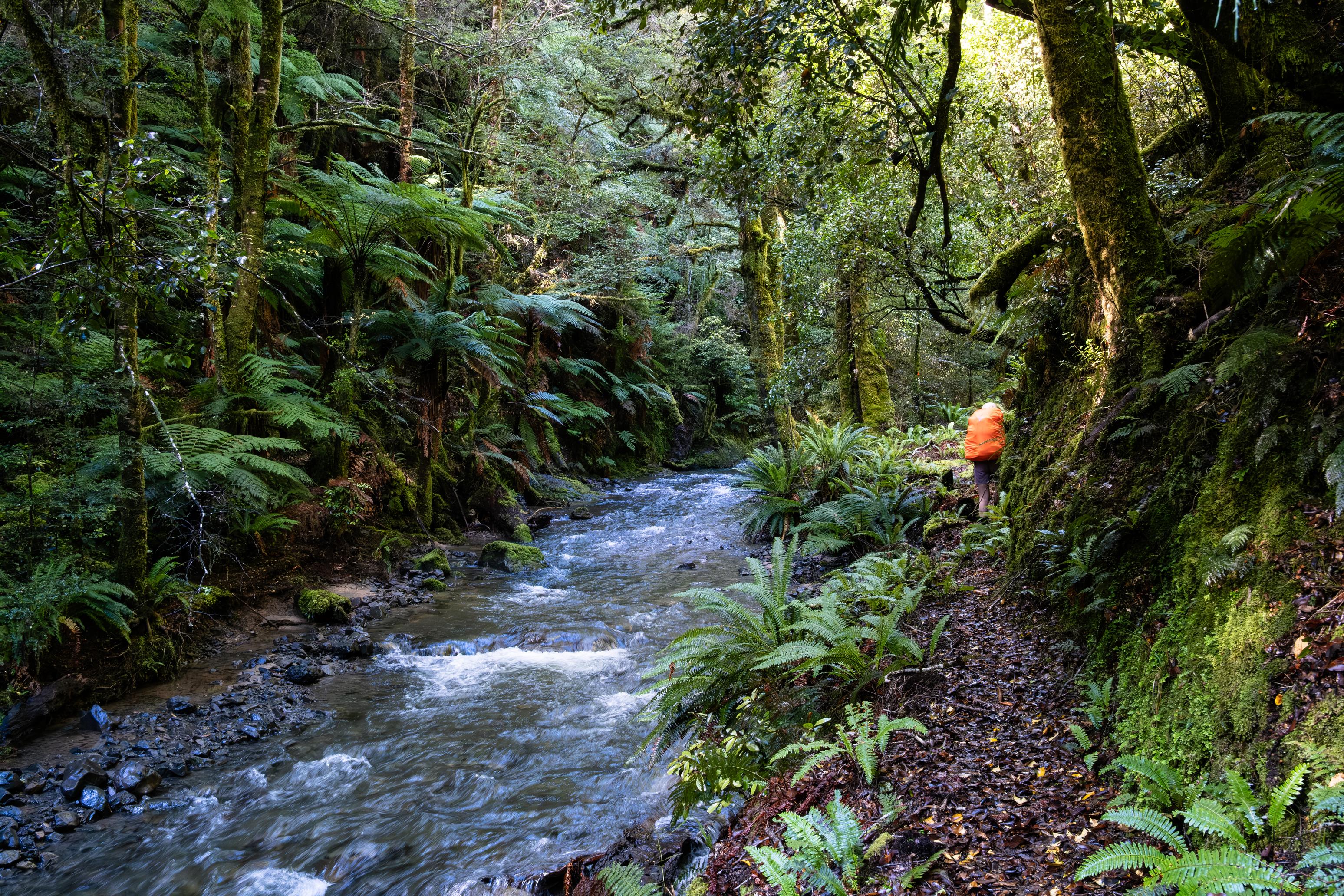
The rain died off in the early hours of the morning, but it left some low mist to ensure we got a little damp in the morning. The absolutely sopping vegetation also meaningfully contributed to our dampness. The track is very well-formed and easy-going until it reaches the Taumutu Stream confluence at the bridge indicated on Topo50. At this point, the track enters the river and crosses it 15 times on the way to the Kakaiti Stream junction. Much of the water comes in from the true right at this point, so not much is left in the Taumutu as you continue on. We wondered if the Taumutu was going to cause us trouble with the rain, but in the end, it was no problem. I only slipped and almost went for a swim once. Ha.
A little further on, we bumped into the two men who had gone to Upper Whirinaki Hut the day before in the rain. The hut turned out to be relatively full (7 out of 9 beds full), and the night rather eventful. The Whirinaki River had changed its course and broken through some earthwork done by DOC, resulting in the erosion of 1/3 of the foundations of the hut! This happened in the small hours of the morning, and the trampers and hunters found themselves pitching bivvies in the rain and dark. Not ideal. One man was headed out to the road end that day to report it to DOC, and since we got home on Saturday, we saw that the hut had been closed. We hope that it survived Cyclone Vaianu, which passed through the area on April 12-13.
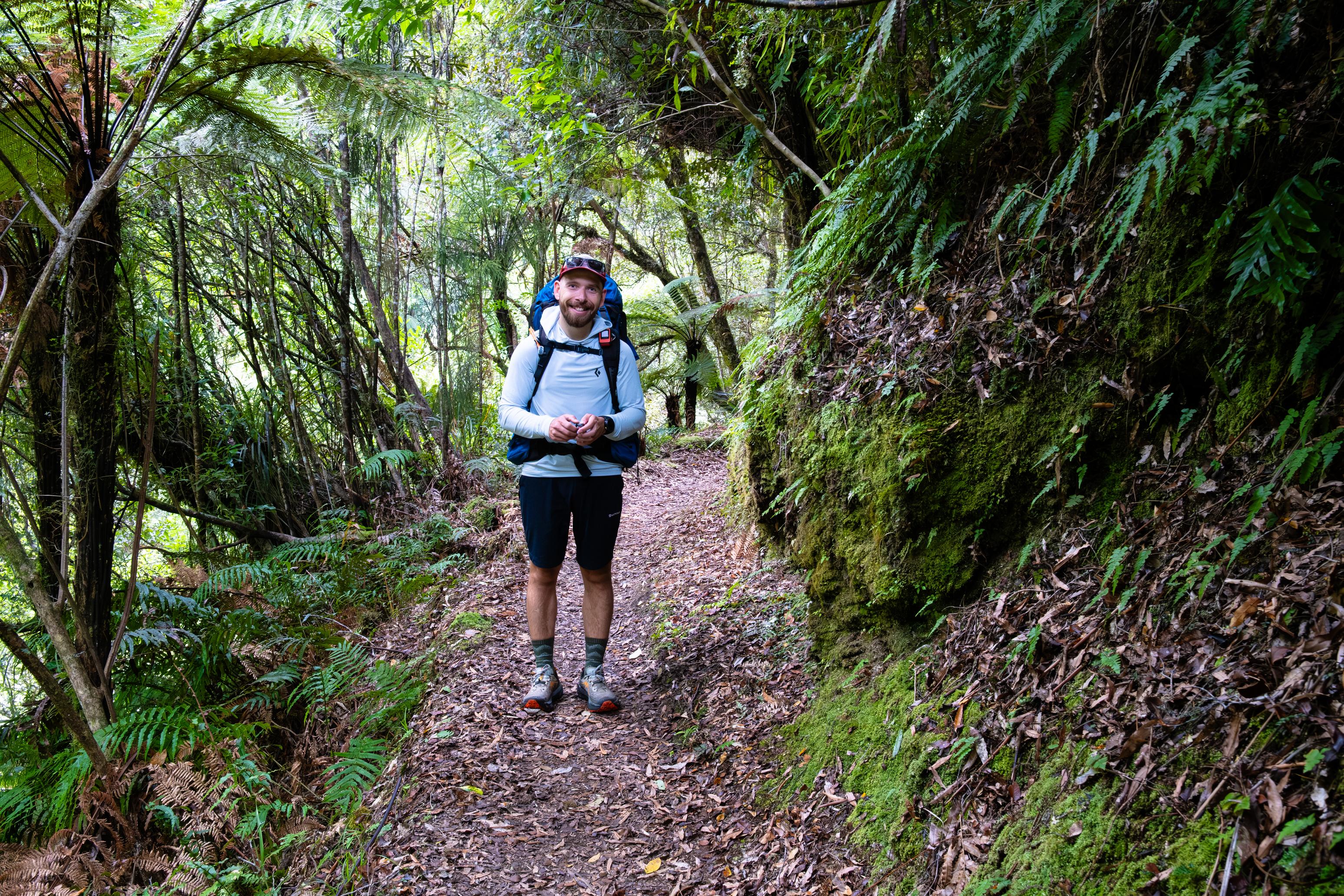
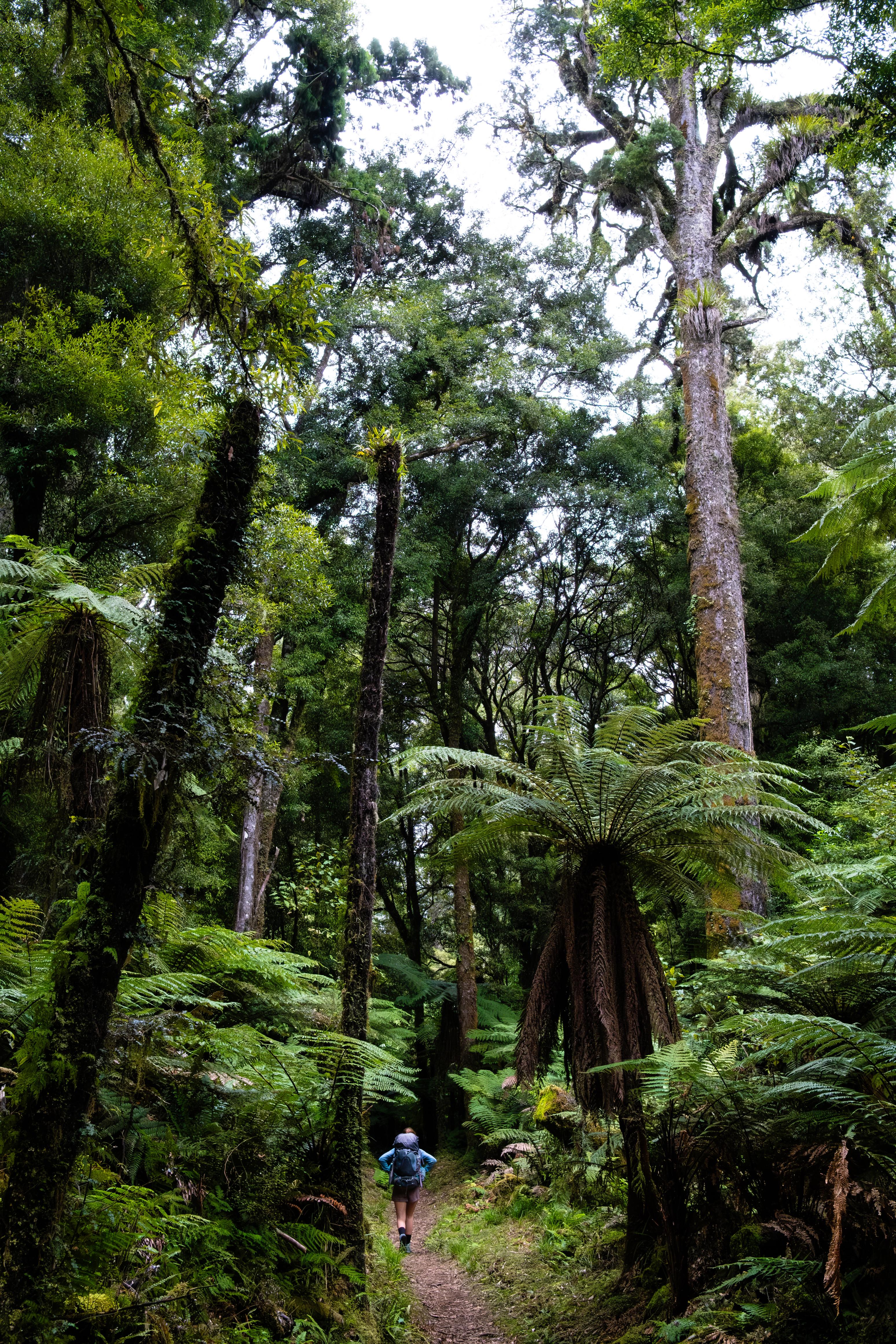
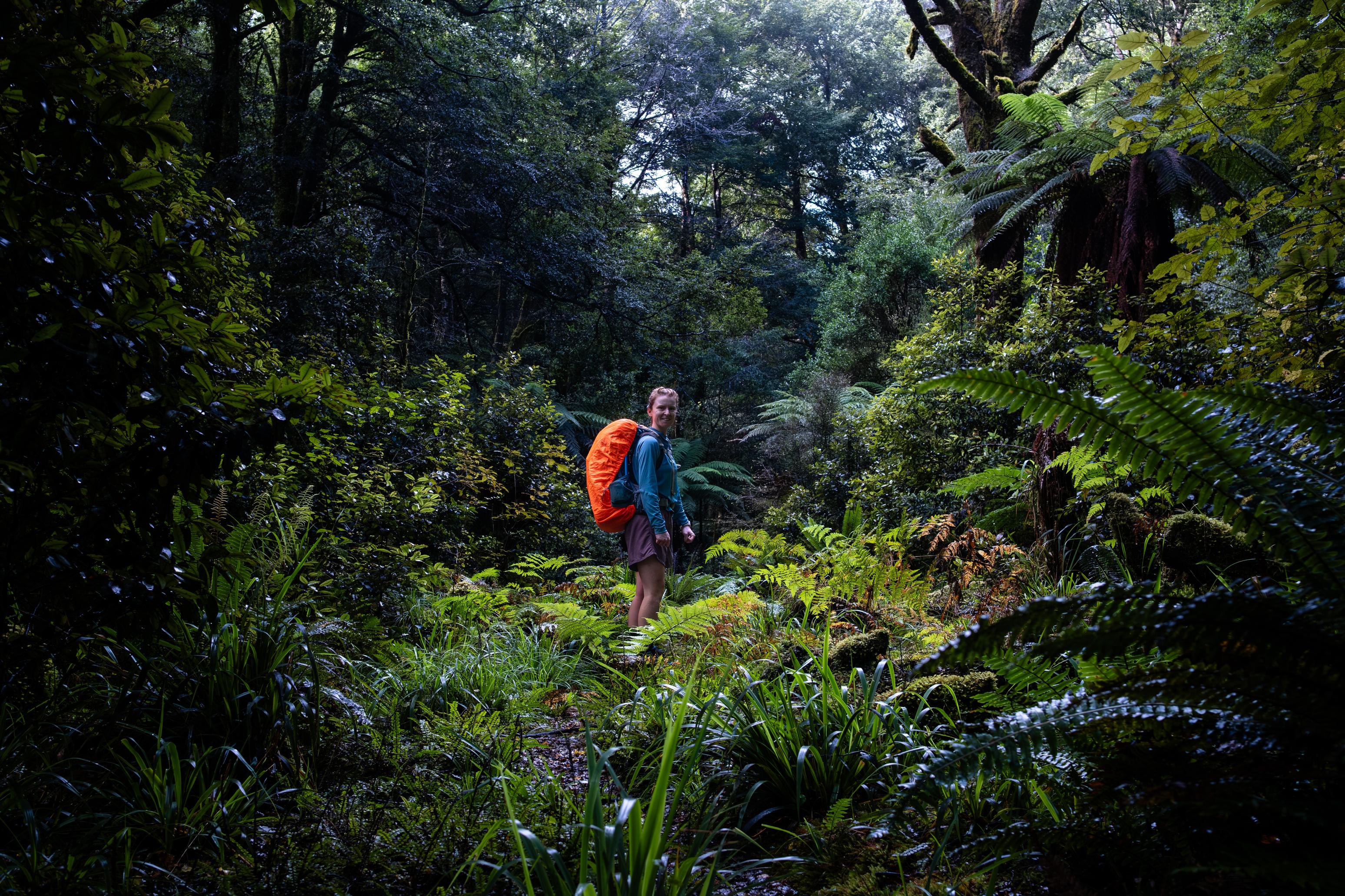
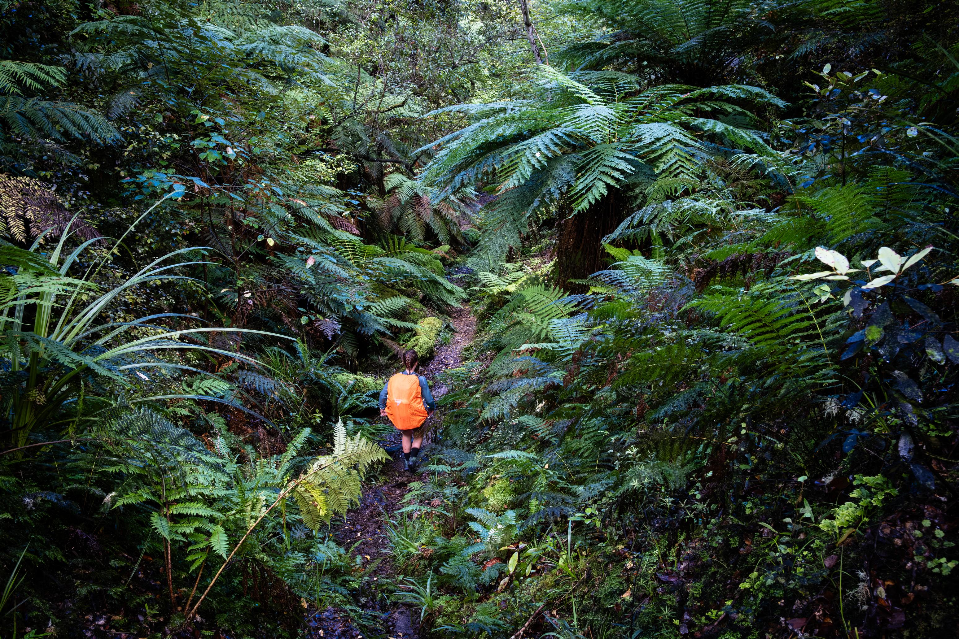
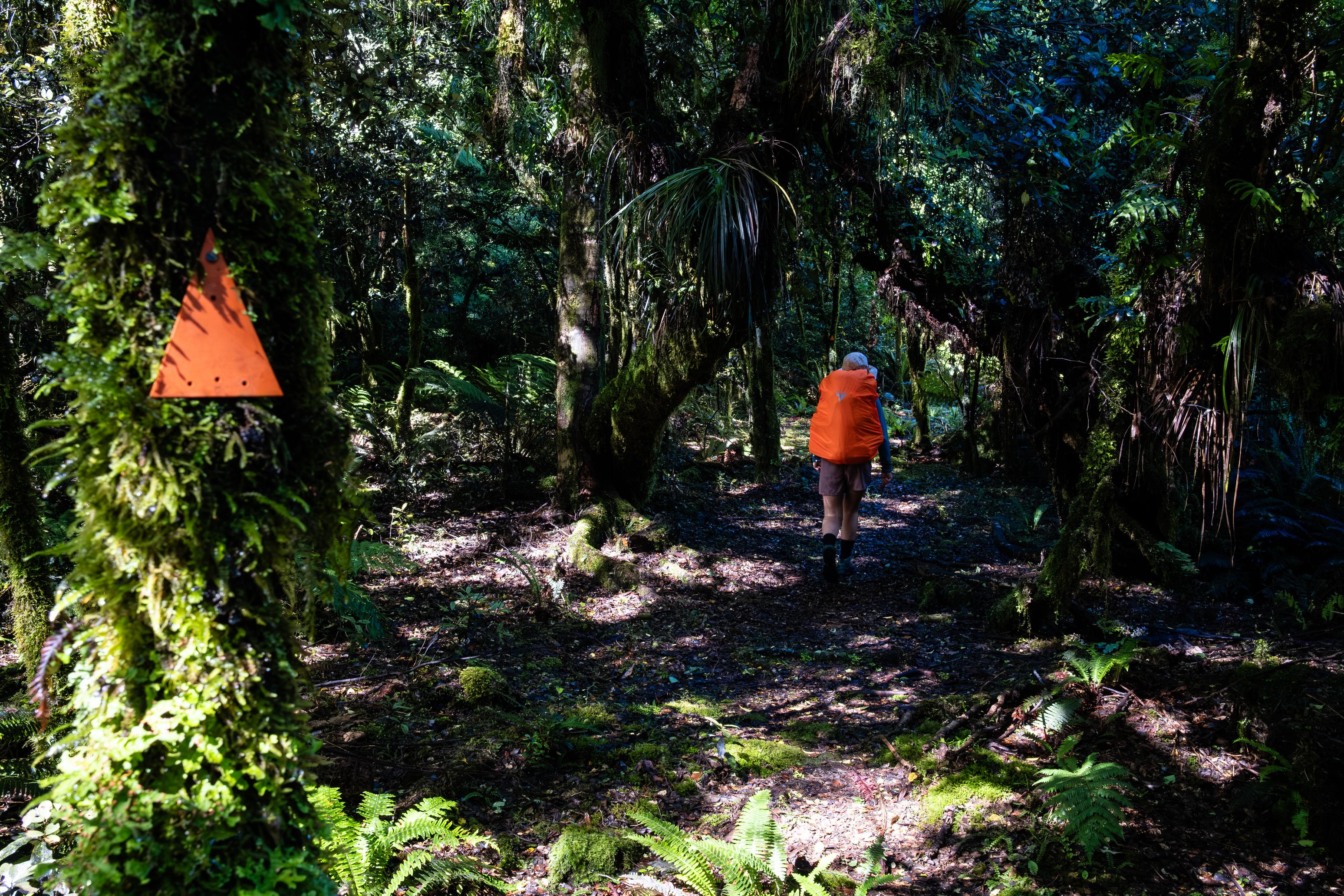
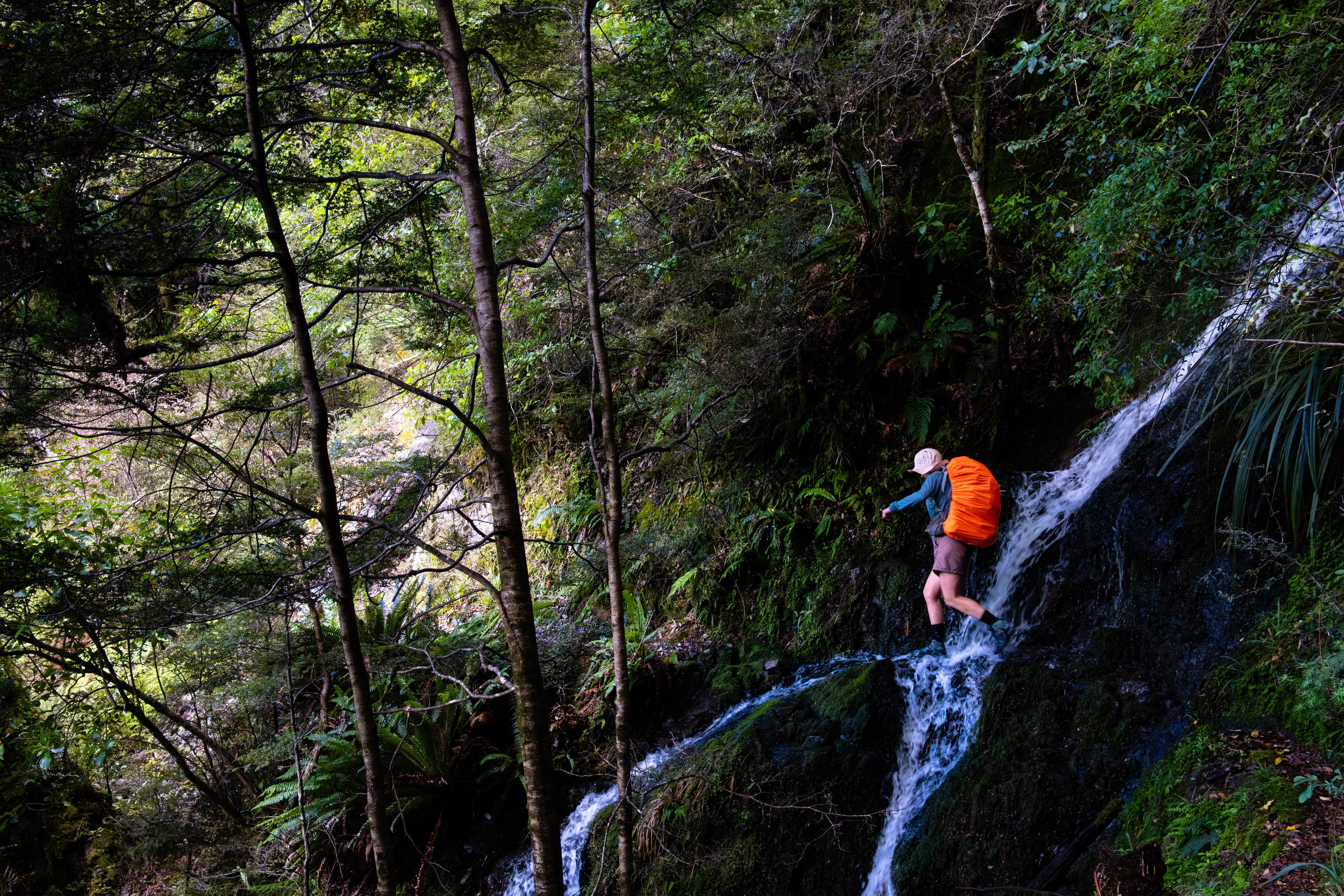
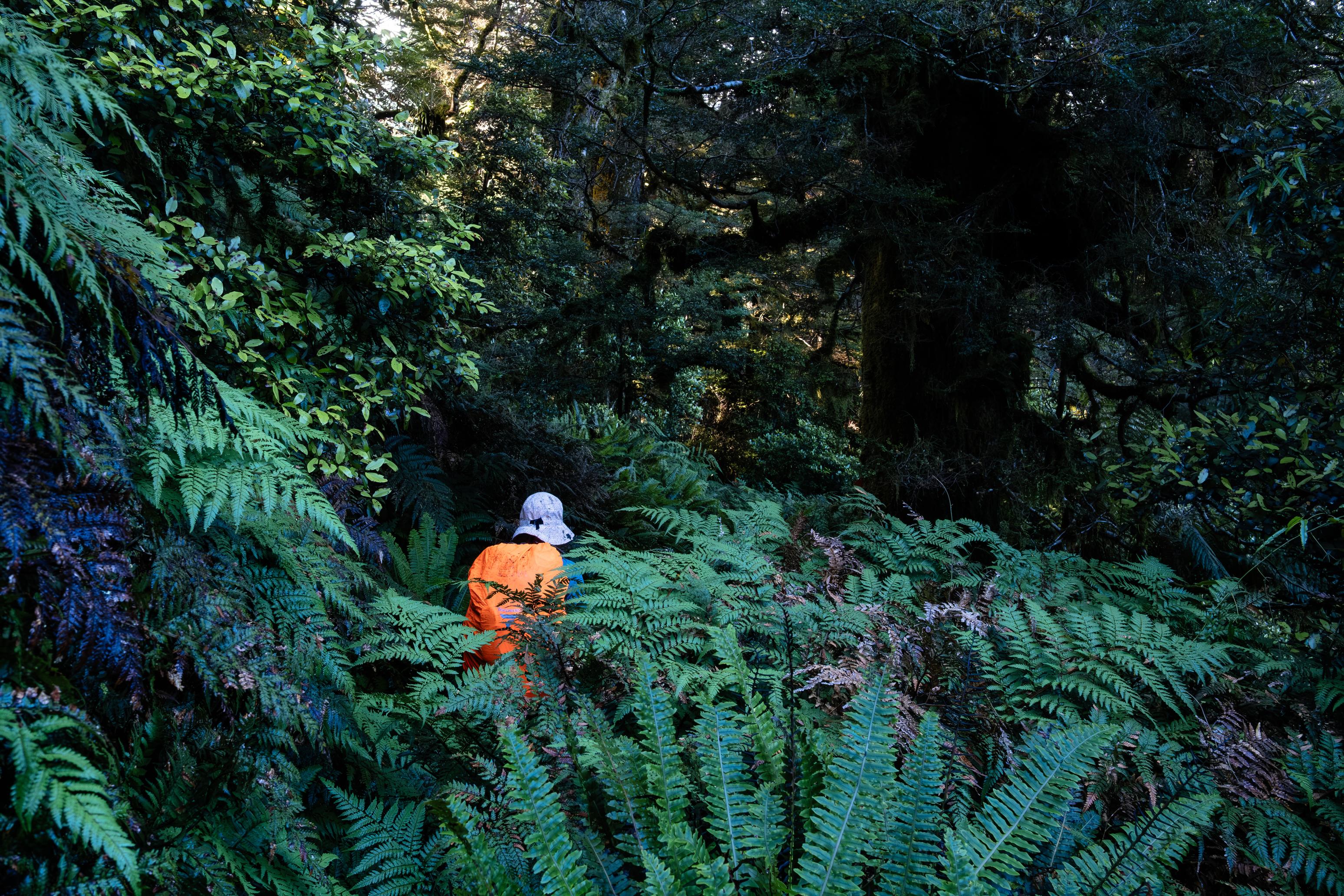
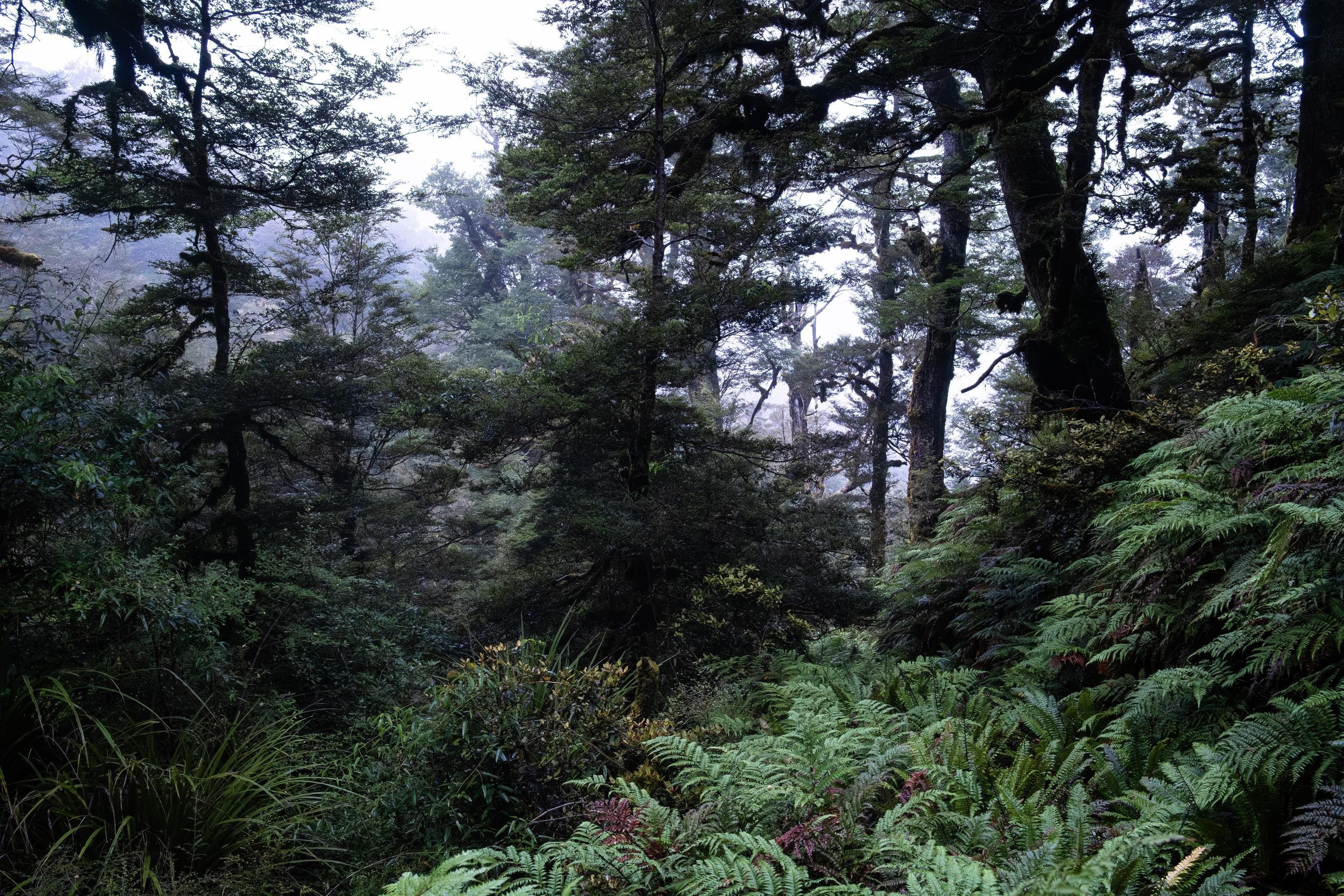
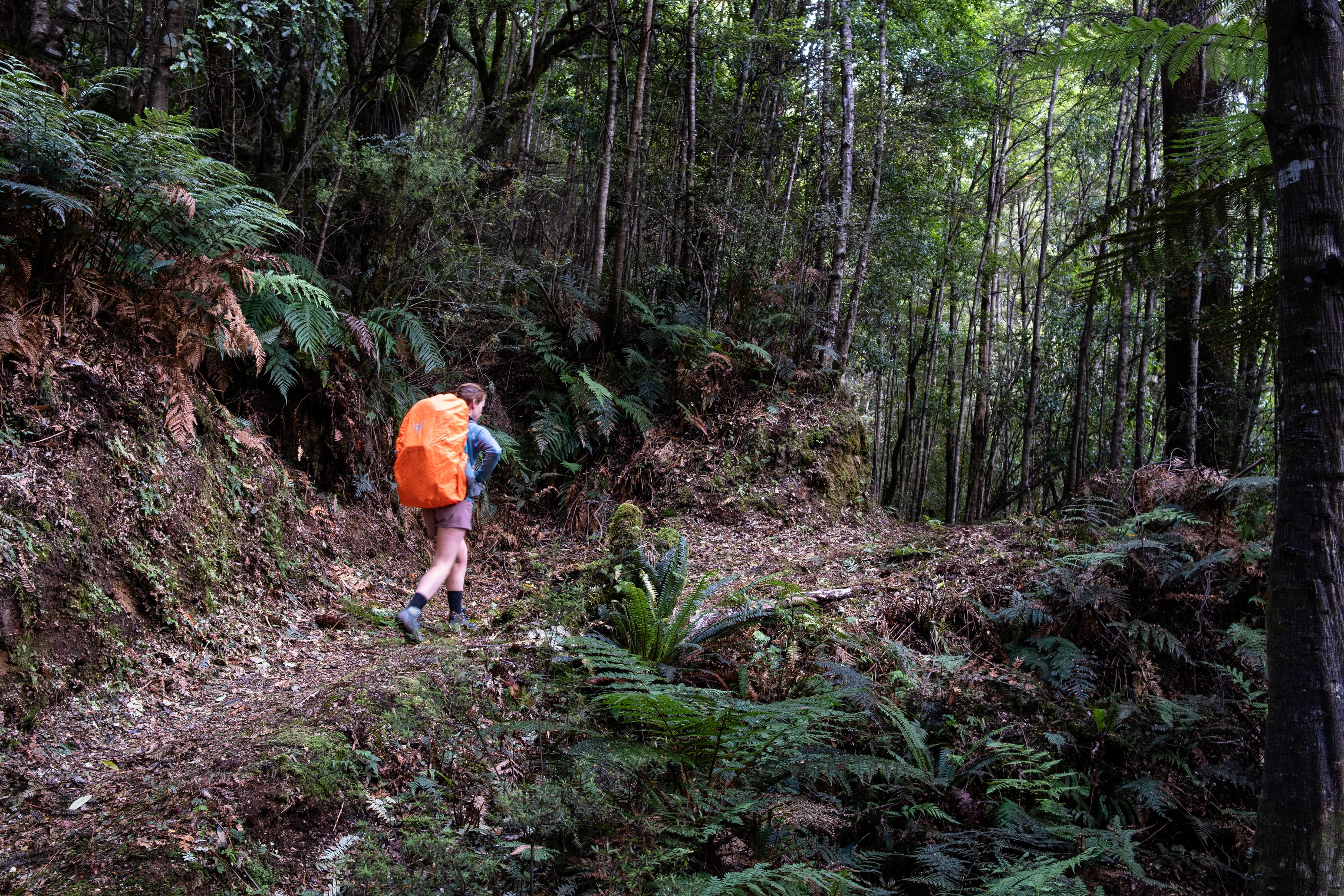
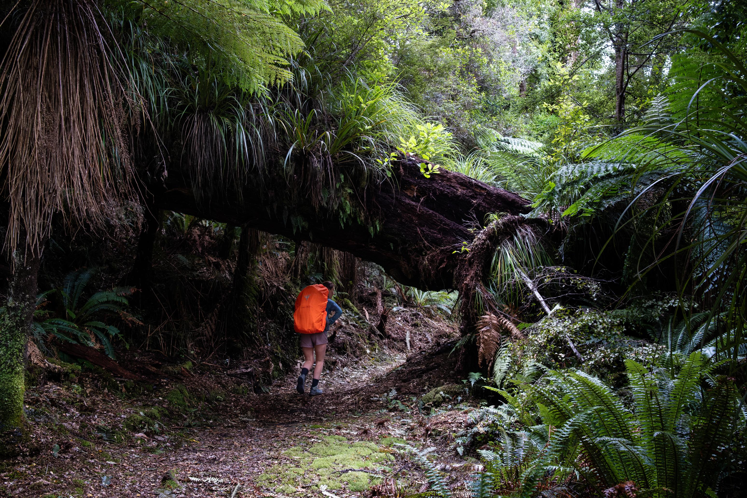
From Upper Whirinaki Hut, the track starts to deteriorate. It becomes less well-maintained, has more slips and track diversions, and becomes more overgrown. Still, the bush is beautiful! We heard later that this and the next day of trails had been downgraded to a “route”, hence the lack of maintenance. The track enters the creek as you near the top of the valley. It then takes a sharp turn and climbs steeply up toward the ridgeline. The climb is fairly straightforward and has no navigational challenges. The only thing to keep an eye on is the structure of the soil beneath your feet.
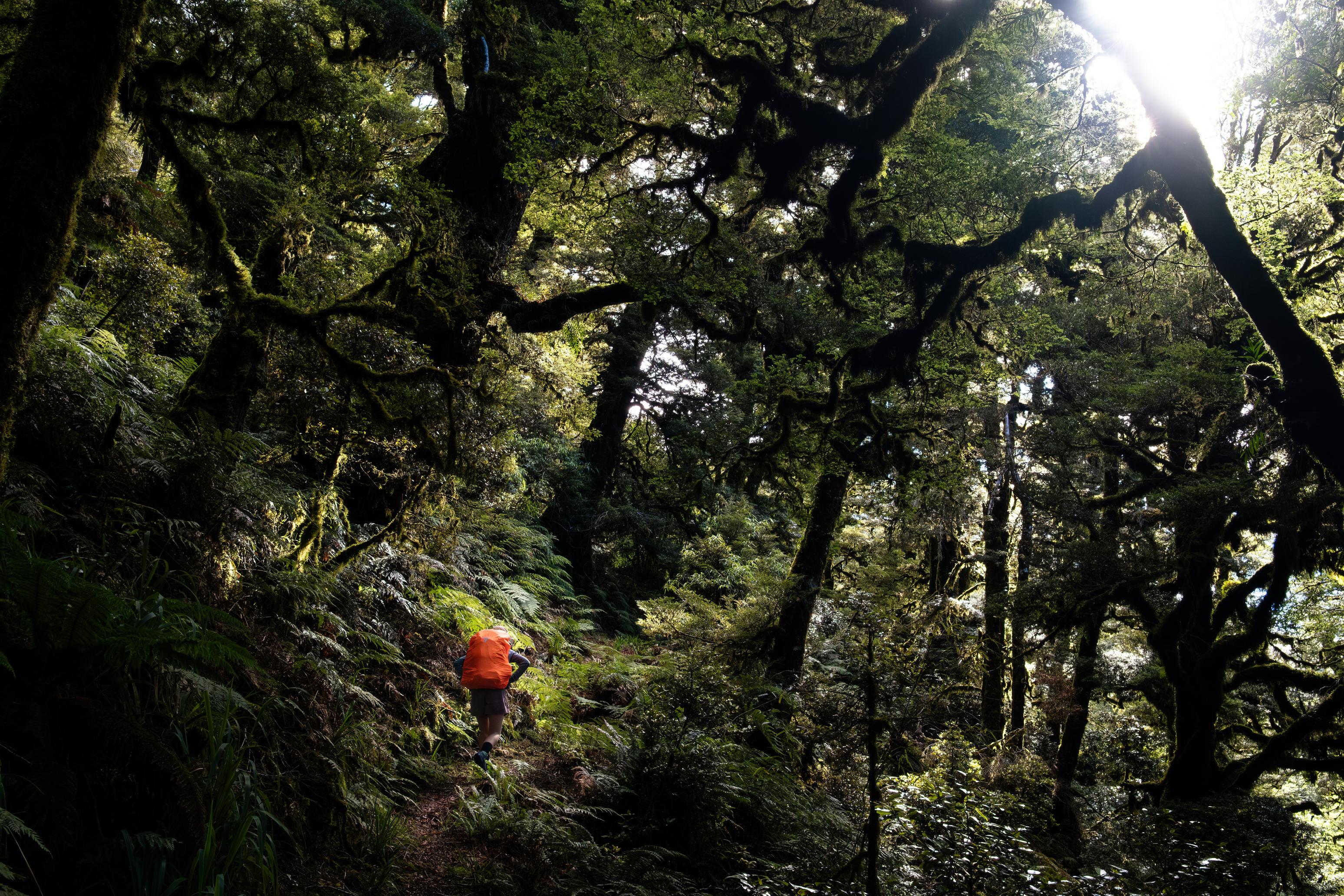
From the Pukahunui Track junction, the track undulates and contours around the hillside for quite some time. We weren’t moving particularly quickly through this section because of the heavily overgrown ferns that made it hard to see our feet. That said, when you get a glimpse through the forest to the surrounding hills, you are certainly rewarded. On descending to Upper Te Hoe Hut, we found it occupied by a son-father-grandfather trio who were enjoying a week of hunting. Shout out to Dylan for giving us a beer each and sharing your chips. What a champ!
☕️ Porridge & coffee
🥜 Nut bar
🌮 Hummus & cheese wrap
🍴 Baked beans on mash potato
🍫 Hot drinks
📷 Finn Le Sueur
📷 Finn Le Sueur
📷 Finn Le Sueur
📷 Finn Le Sueur
📷 Finn Le Sueur
📷 Finn Le Sueur
📷 Finn Le Sueur
📷 Finn Le Sueur
📷 Finn Le Sueur
📷 Finn Le Sueur
📷 Finn Le Sueur
📷 Finn Le Sueur
📷 Finn Le Sueur
📷 Finn Le Sueur
📷 Finn Le Sueur
📷 Finn Le Sueur
📷 Finn Le Sueur
📷 Finn Le Sueur
📷 Finn Le Sueur
📷 Finn Le Sueur
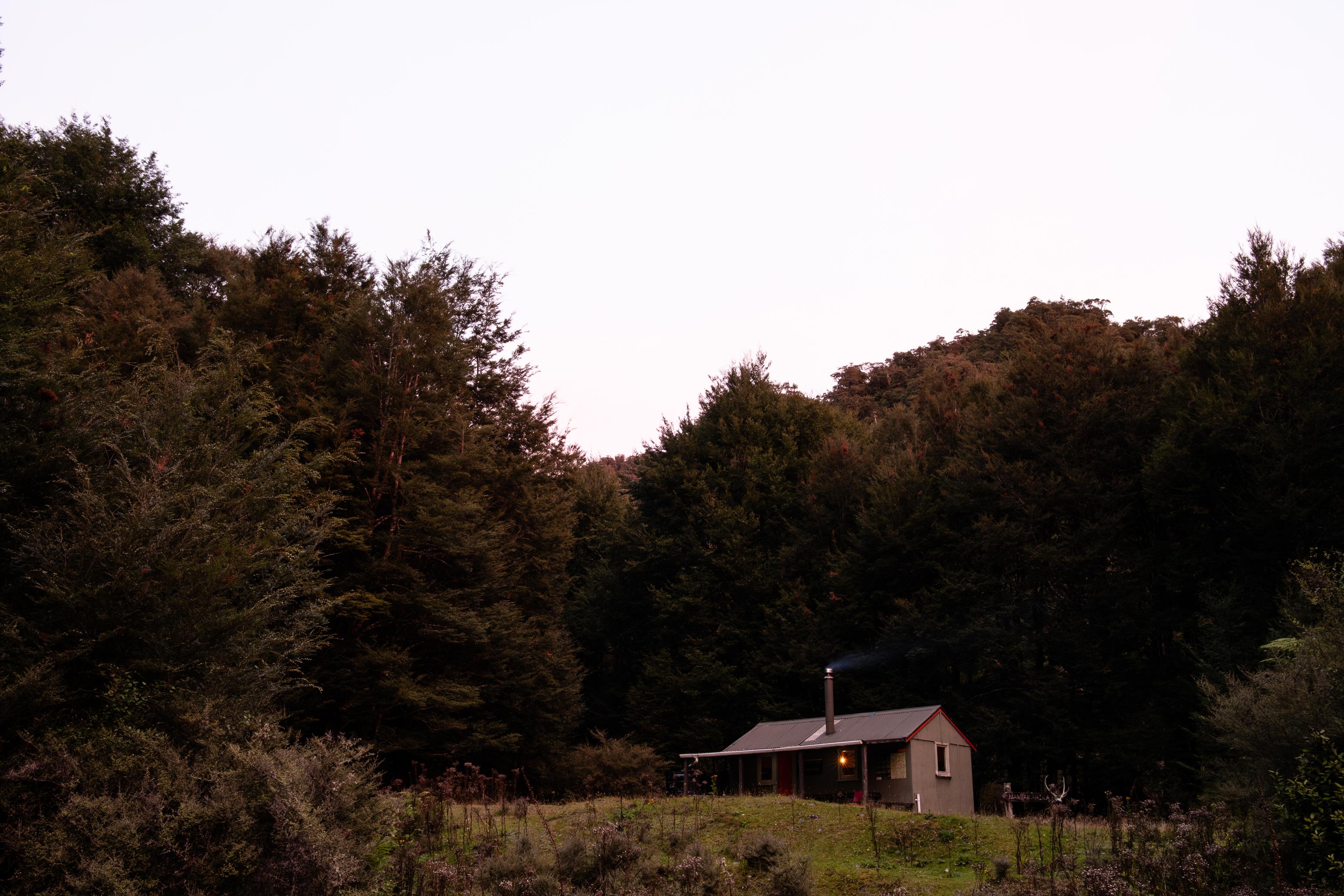
Day 4: To Mangakahika Hut
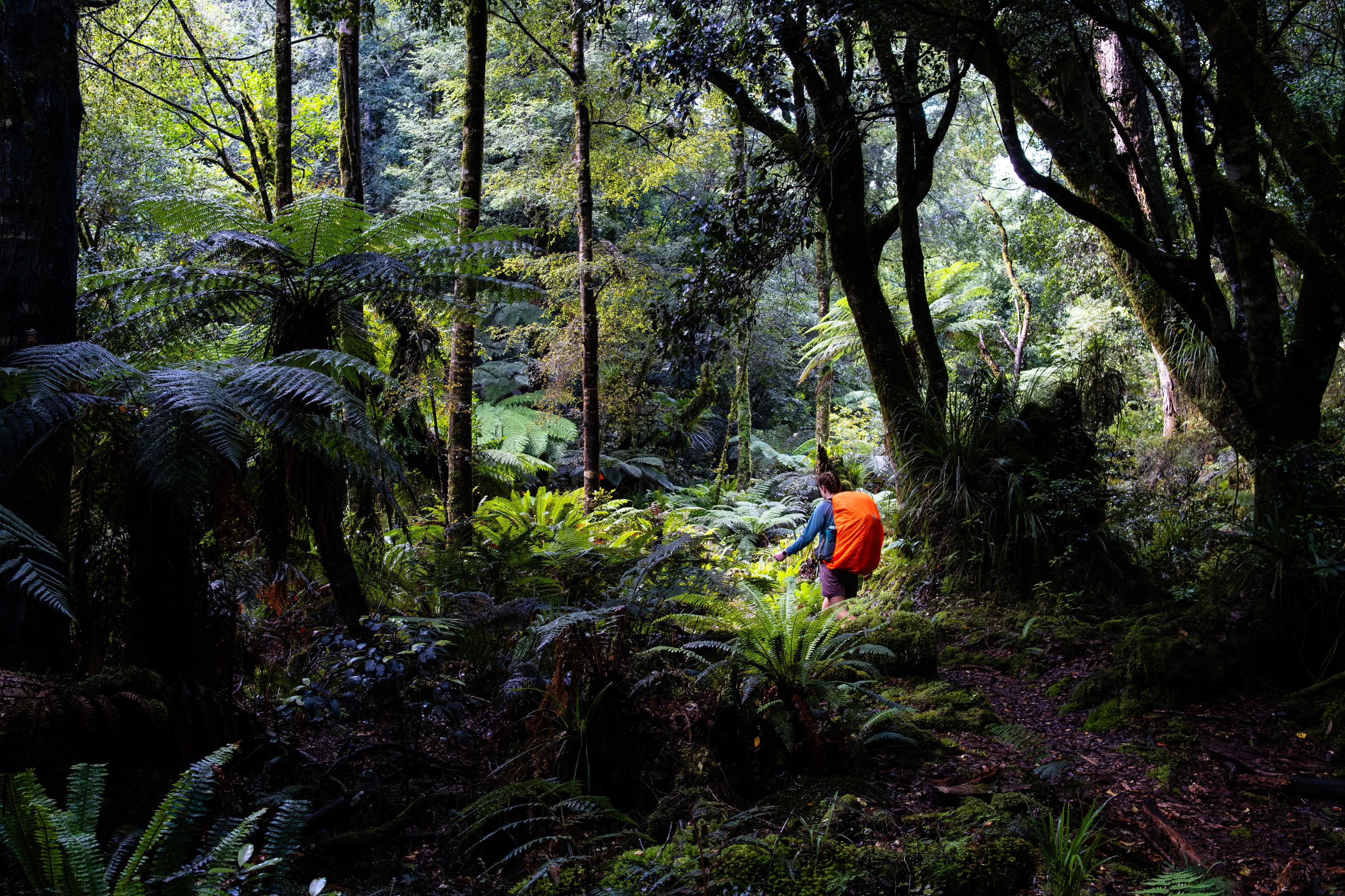
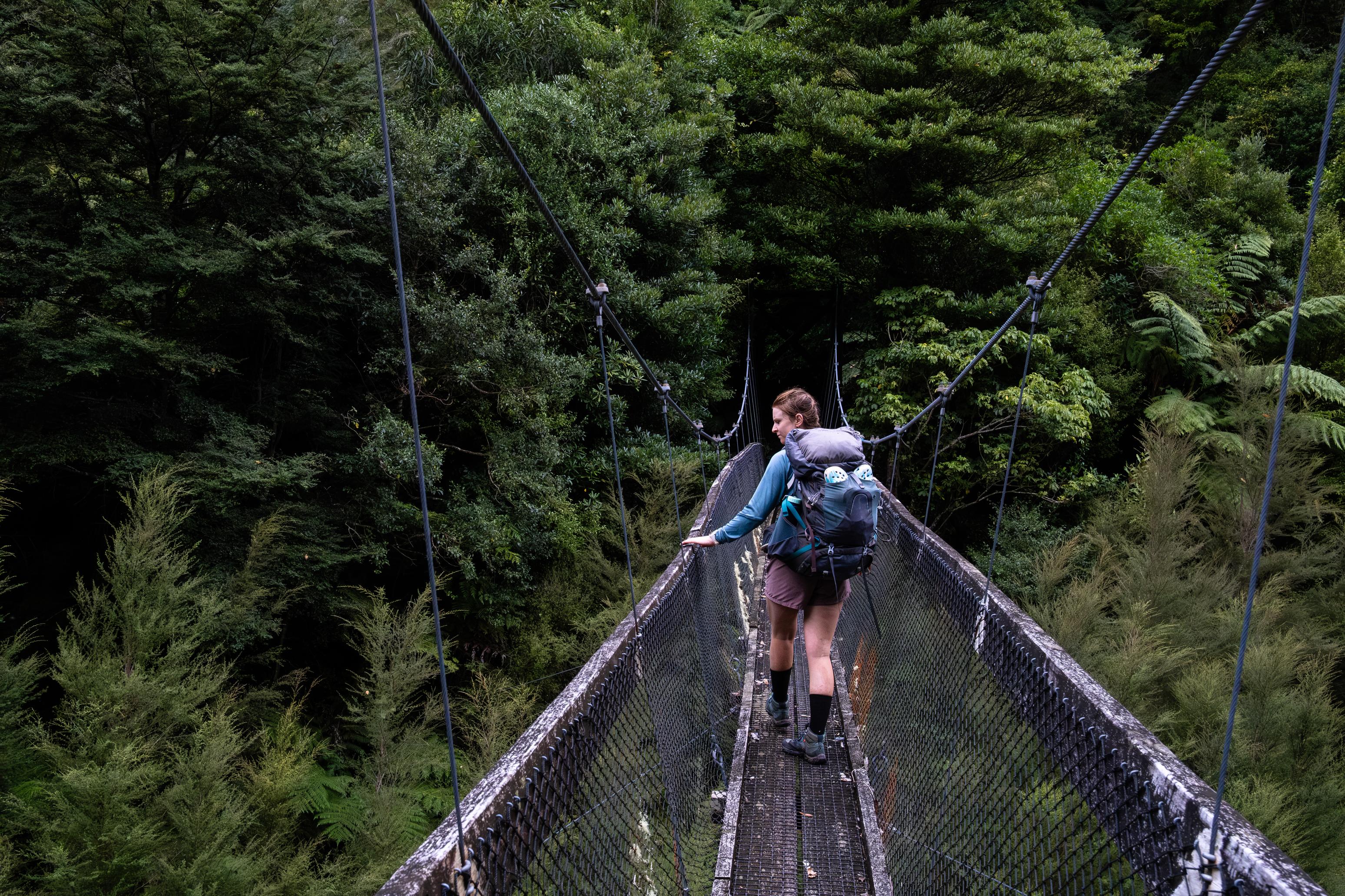
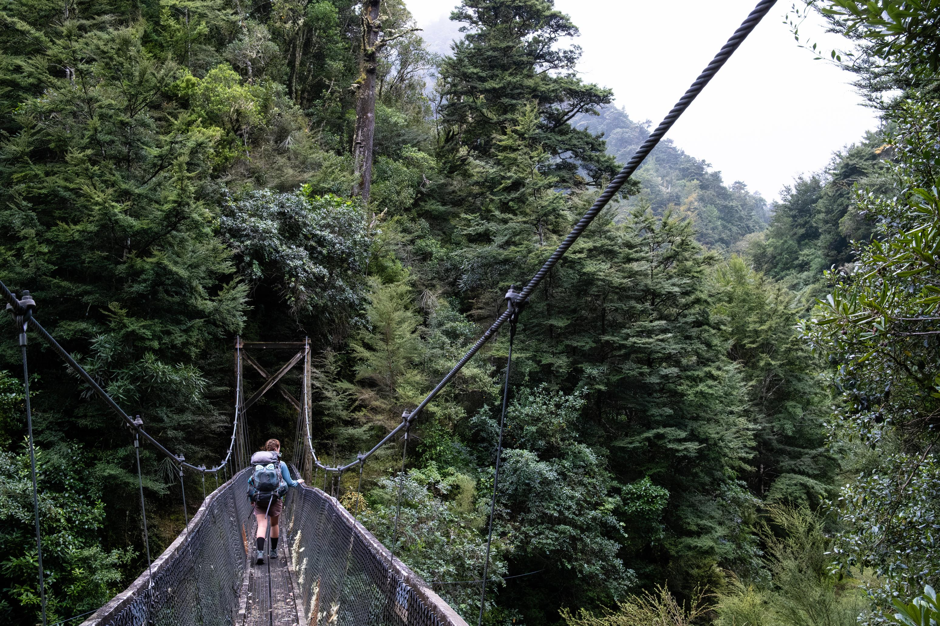
We woke early when the hunting trio got up for a morning stalk, but Dylan felt unwell, so they ended up going back to bed. Yuss! A small while later, we rolled out of bed and were soon ready to go. The track drops down to the bridge across the Te Hoe River before crossing on a well-appointed wooden bridge. From there, it climbs fairly gently to around 1000m and undulates across the ridge before dropping steeply toward the Te Hoe River (again). The DOC guide notes that there are some bluffs, and James (from the hut) was talking up how scary it is. We certainly didn’t find it scary, but it is quite an impressive drop-off.
Central Te Hoe Hut is a short out-and-back trip to a nice clearing with plenty of room for camping. Something tells me this would be a great spot to hunt from! We had a quick lunch and coffee before heading off to Mangakahika Hut. The night before, I had asked my dad for a forecast update of Cyclone Vaianu, and he said that it was likely going to arrive Saturday night / Sunday morning, as opposed to Sunday afternoon as per the forecast we got before we headed out. We figured that we would try to get out a day early and might walk all the way to Te Waiora (Roger’s) Hut today, but we would leave that decision for later.
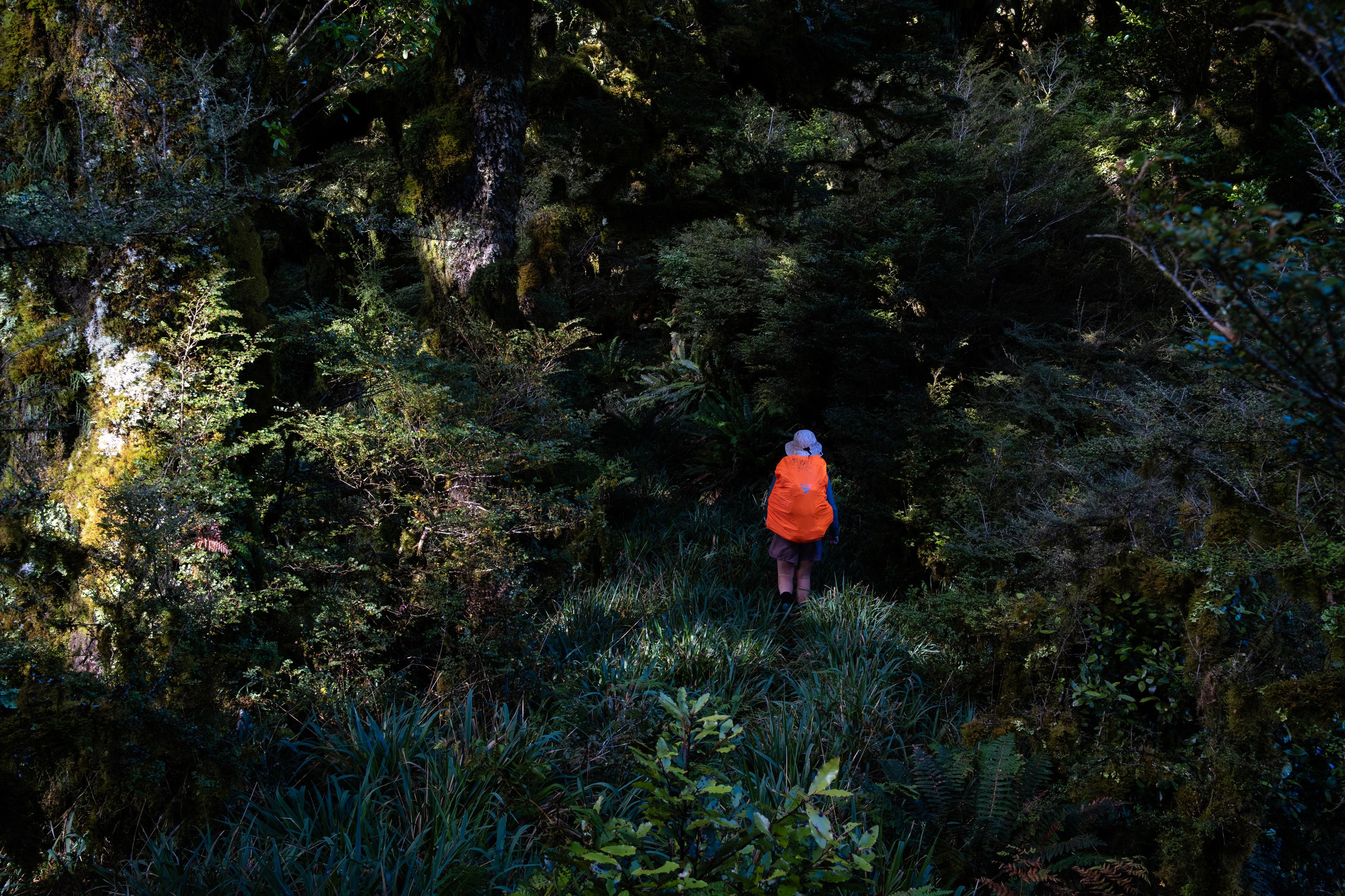
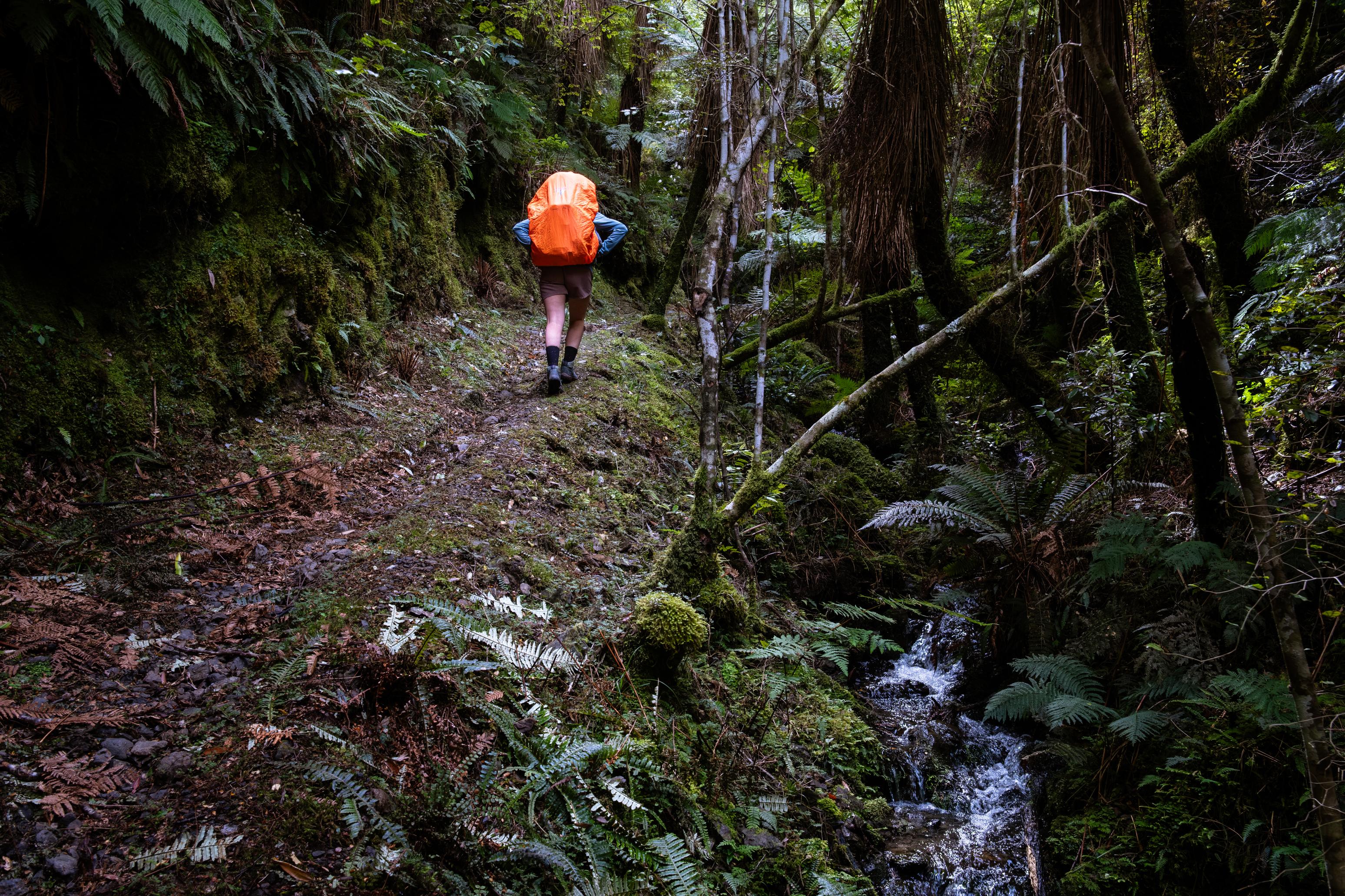
Central Te Hoe Track is all very nice and follows the valley floor, sticking to the true left. It is well-formed and lush. There was even the odd bridge for the sidestreams! Luxury. That is, at least, until we passed Bull Ring Clearing. From there, the track climbs to the low saddle and becomes very overgrown again. At this point, the fog had come in again, and we were getting very damp as we pushed through the ferns. After some steep pinches and plenty of tree-fall, the tracks again reaches the valley floor and a bridge appears to take you across the creek to the hut.
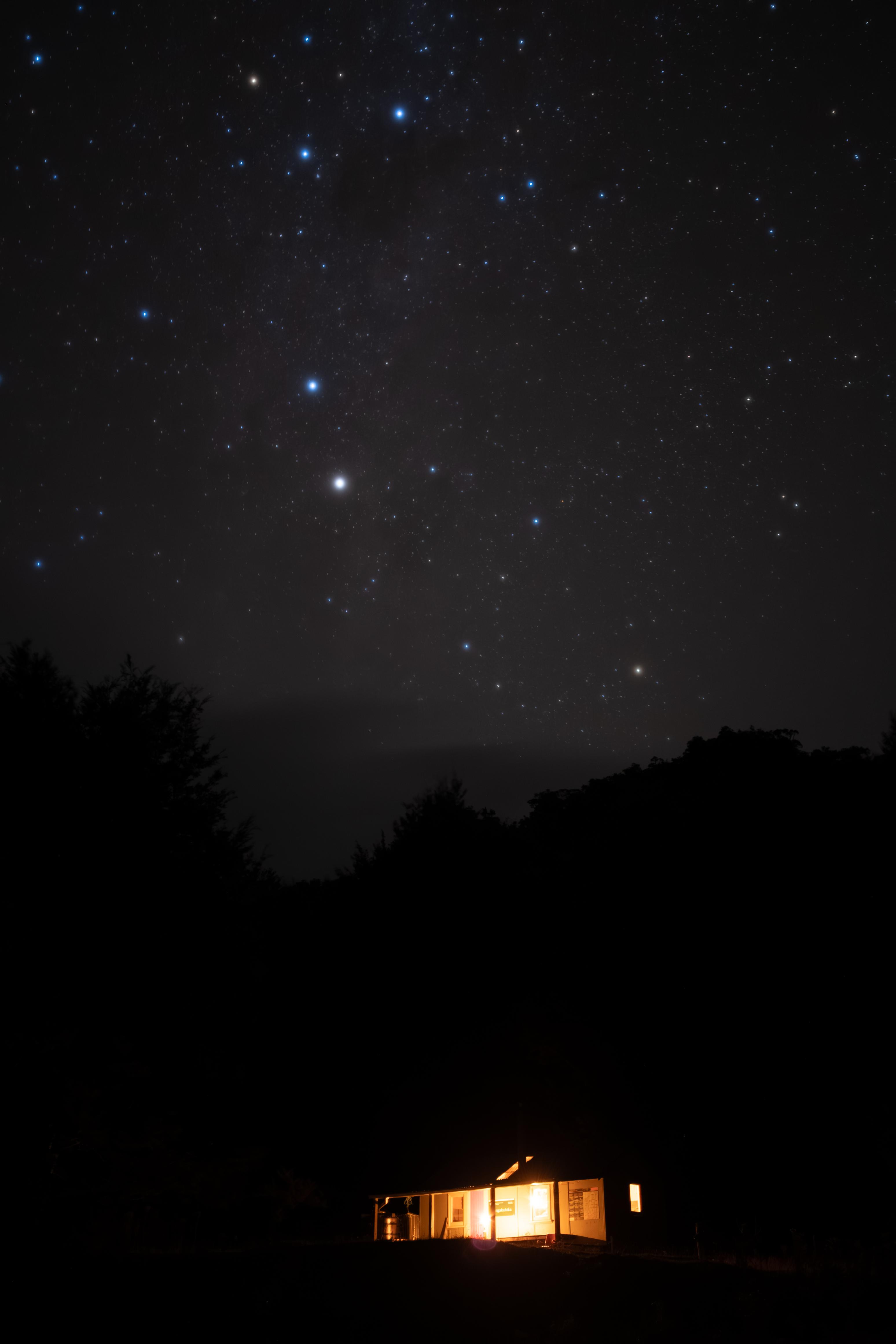
Mangakahika Hut was very tidy, and the nearby forest was excellent for foraging for wood. We chopped a lot, leaving plenty to dry and the hut box full. I did take a stick to the face (twice) when the axe sliced through it and part of the stick jumped back up to clock me. I’m still wearing a bruise and scab a few days later. Whoops!
☕️ Porridge & coffee
🥜 Nut bar
🌮 Hummus & cheese wrap
🍴 Mexican bean mix on drive
🍫 Hot drinks & chocolate rice pudding
📷 Finn Le Sueur
📷 Finn Le Sueur
📷 Finn Le Sueur
📷 Finn Le Sueur
📷 Finn Le Sueur
📷 Finn Le Sueur
📷 Finn Le Sueur
📷 Finn Le Sueur
Day 5: Out to River Rd
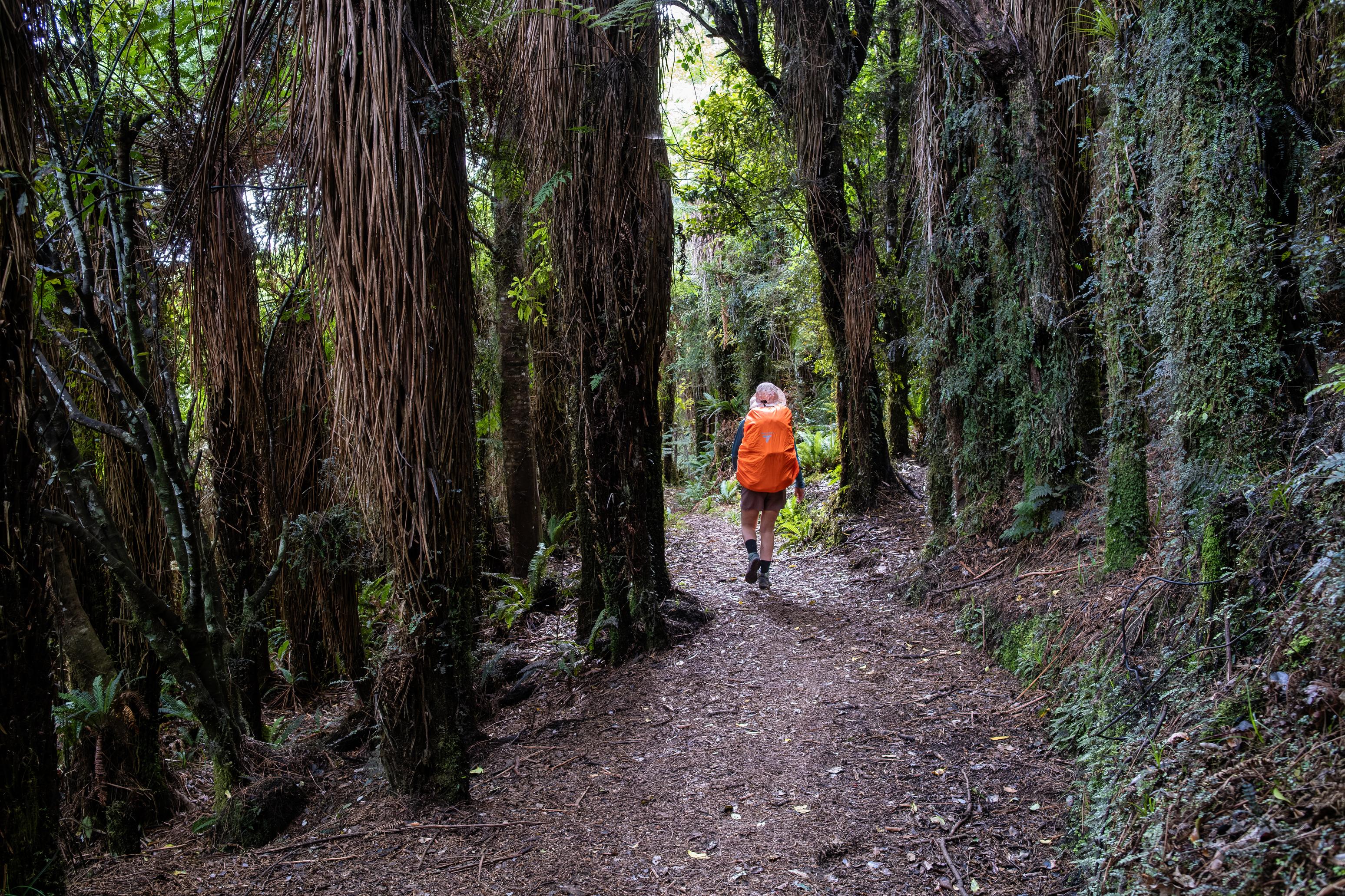
With cyclone Vaianu arriving the following day, we joined the last two days together and aimed to walk the 31km out to the road all in one go. We rolled out of bed an extra hour early (🤢) and were on the track at 7:30am. We charged off and generally made excellent time on the track that just got better and better, and we neared Te Waiora (Roger’s) Hut. Te Waiora, itself, is very cool. It’s super old and has since been wrapped in metal. It is hard to see how the hut was ever weatherproof, but Jen reckoned the wood must have shrunk and left all the huge gaps between planks. Still. With some stained glass windows and walls made of giant slabs of wood, it is well worth taking a look around. We had just a short break before heading off toward Moerangi Hut. The track had recently been cut, so there was no overgrowth to deal with. That made the walking very easy (aside from the uphill).
The Moerangi MTB Track means that it is generally well-graded and nice and wide, but there are a few pinches that would be essentially un-bikeable, and some erosion that has left the track extremely rutted. That said, for the most part it is very nice. For its own part, Moerangi Hut is very similar to the others, but its camping area is not as well-appointed. It is very hilly and lumpy, leaving little flat ground to pitch a tent. Goodness knows how a school trip got 32 students here (according to the hut book).
After coffee and lunch, we pushed on, having already covered the same distance as some of our previous days. The track ambles along the valley floor with small climbs and descents before taking you more steeply toward Moerangi. The track does not go to the summit proper, but a helicopter pad and picnic table offer something of a lookout. Not that we could see much over the trees!
Much of the descent is not as well-graded as the ascent, nor as well-maintained. This includes a very steep section of track near the bottom that is sandy and rutted almost 1m deep in places. It is clear that the track needs some work and that the rainforest and cyclone conditions common to the area are not helping with that. We were feeling pretty footsore by the time we neared the Whirinaki Track Junction, but the immense forest was doing its best to distract us, thankfully.
In the end, we clocked almost 32km and were more than a little happy to drink a can of Coke each and eat the pack of salt and vinegar chips we had left in the car. Always a good shout.
Thanks, Whirinaki. It was a beaut.
☕️ Porridge & coffeee
🥜 Nut bar x3 and lollies
🌮 Hummus & cheese wrap & coffee
📷 Finn Le Sueur
📷 Finn Le Sueur
📷 Finn Le Sueur
📷 Finn Le Sueur
📷 Finn Le Sueur
📷 Finn Le Sueur
📷 Finn Le Sueur