Snowy Gorge - Maitland
Activity Date:
Updated:
People:
Finn,
Jen,
Emily H,
Hayleigh M,
Amy H,
Stephen J
| Sun Jan 2, 2022 Download GPX Day 1: To Snowy Gorge Hut | 11.94km 4:53:50 | 2.44km/hr 647m ⬆️, 260m ⬇️ |
| Mon Jan 3, 2022 Download GPX Day 2: To Maitland Hut | 9.63km 4:42:56 | 2.04km/hr 374m ⬆️, 518m ⬇️ |
| Tue Jan 4, 2022 Download GPX Day 3: Out to Lake Ohau | 12.45km 4:31:42 | 2.75km/hr 478m ⬆️, 882m ⬇️ |
| Total | 34.03km 14:08:28 | 2.41km/hr 1499m ⬆️, 1660m ⬇️ |
Comments Section
Along with a large group of Jen’s doctor friends, we had just celebrated New Year’s in Tekapo. Six of us also wanted to go tramping afterwards. I spent quite a while looking at different tramps in the area - weighing up the difficulty, terrain, huts, transport and other variables but ended up settling on this one. It wasn’t the best transport-wise, but it was an otherwise beautiful tramp and had some beautiful landscapes.
We dropped two cars off at the Lake Ōhau Station end (ask permission from the station!) and headed around to the Ahuriri end in a third car. There is a 4WD track which you can use to get right down to the river on - I recommend it.
Day 1: To Snowy Gorge Hut
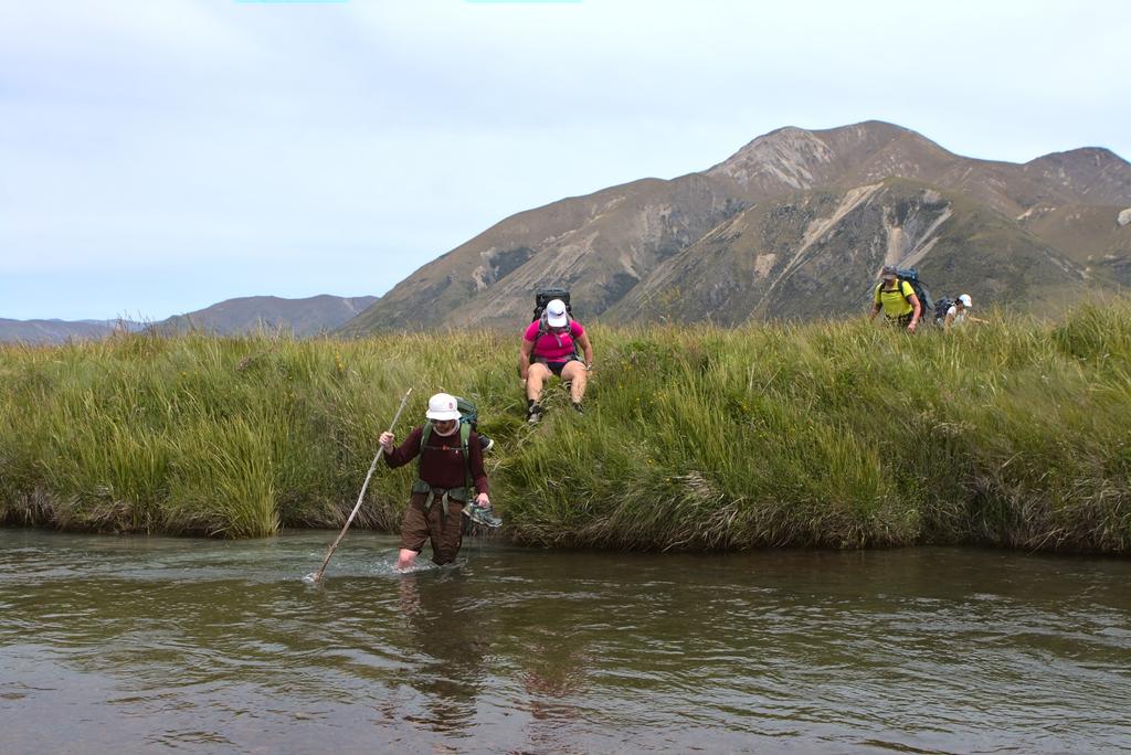
The track starts by immediately crossing the Ahuriri River. It was around 20m^3/s when we went through, and I was optimistic that this meant crossing would be easy. Unfortunately, it looked more than head-deep right next to the car park. You can find a better crossing point 50m upstream where it is much shallower - knee or thigh only. The river is not pushy and is otherwise safe.
Once across the river, you cross through a marshy area near the pond/lake indicated on the TopoMap under Point 717. The going through here was very slow. The ground was very soft - there was ample chance to get a foot stuck or roll an ankle. Take it slow - you’ll get there fine!
One across the marsh, you will reach an incline - this marks the start of the firm ground which will be with you for the rest of the day. It climbs reasonably gently across some rolling tussocked hills as you head towards Snowy Gorge River. There is some marked track on the true left of Snowy Gorge Creek, but we heard from a hunter that the true right is also a viable option.
The true left varies in landscape from open tussock to bouldery scree, to pointy spaniards and matagouri. If you thought matagouri sucks, you will think it is nought but a nuisance after a spaniard draws blood 🩸! We were all left with many battle scars on our legs after this trip - the spaniards were unrelenting.
“A moraine is material left behind by a moving glacier. This material is usually soil and rock.” - National Geographic
Further up the valley below Point 1797 is a glacial moraine, behind which is the hut. There are two ways you can do this, and it seems that people have opted for both in the past! Option 1. Stick to the river (which we did) and make your way around the moraine Option 2. Climb more directly over the moraine and try a straight line for the hut. This last section of walking is rather slow, and you will find the hut hidden behind yet another little mound once you pass the moraine - don’t be discouraged. It is there!
The hut book goes back a very long time due to its infrequent use - although it is being used more and more as the years progress. It is great fun to read back through the book and see who was using it when it first entered DOC service. It seems it was highly popular with high school outdoor ED trips!
Despite the contradictory DOC information, there is no toilet. Make sure you bring a trowel! There is also a little creek just east of the hut that is a good water source. Saves you climbing over the small hill.
📷: Finn Le Sueur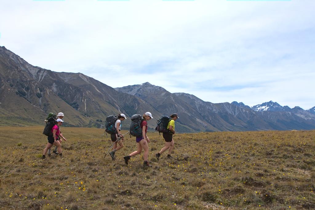
📷: Finn Le Sueur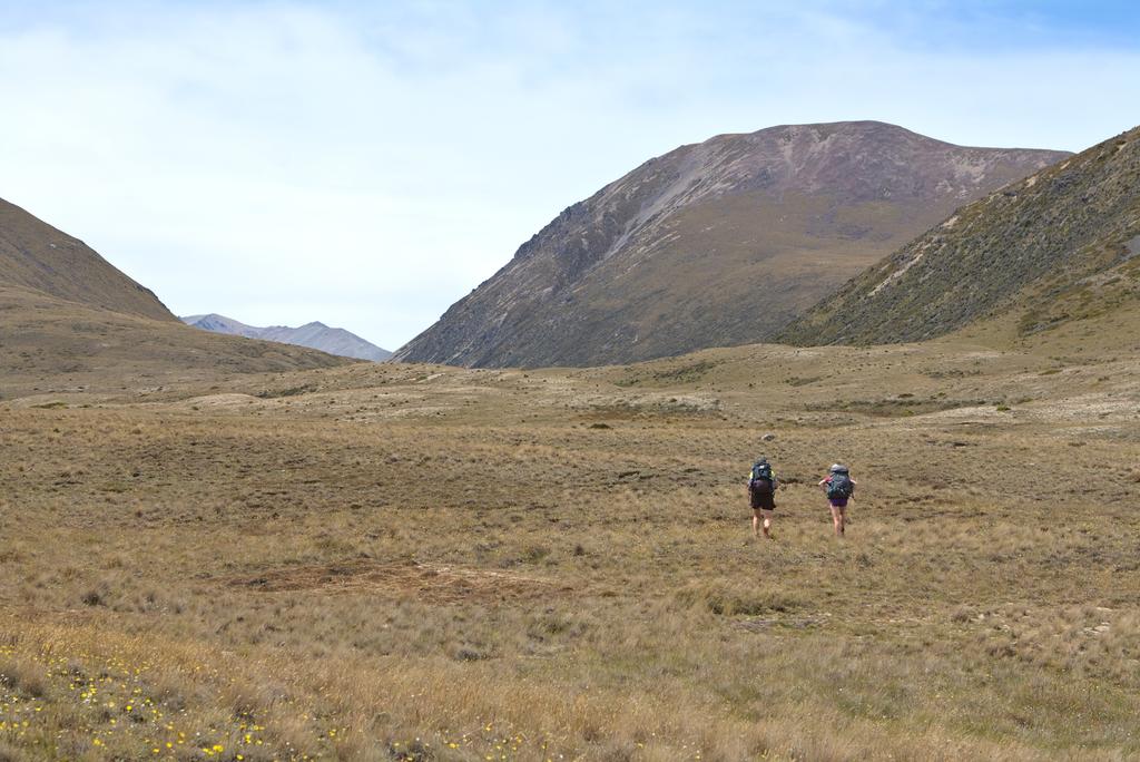
📷: Finn Le Sueur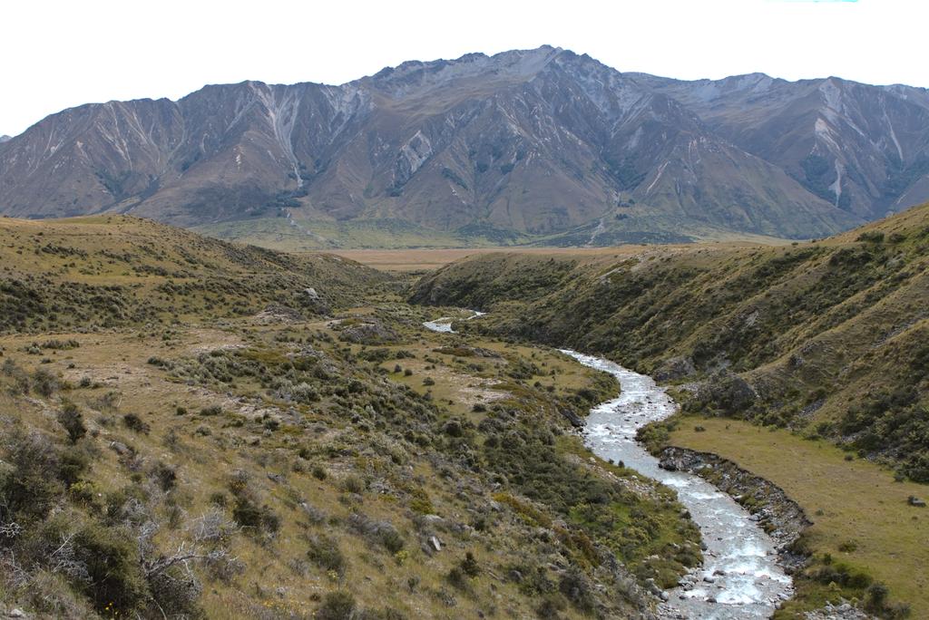
📷: Finn Le Sueur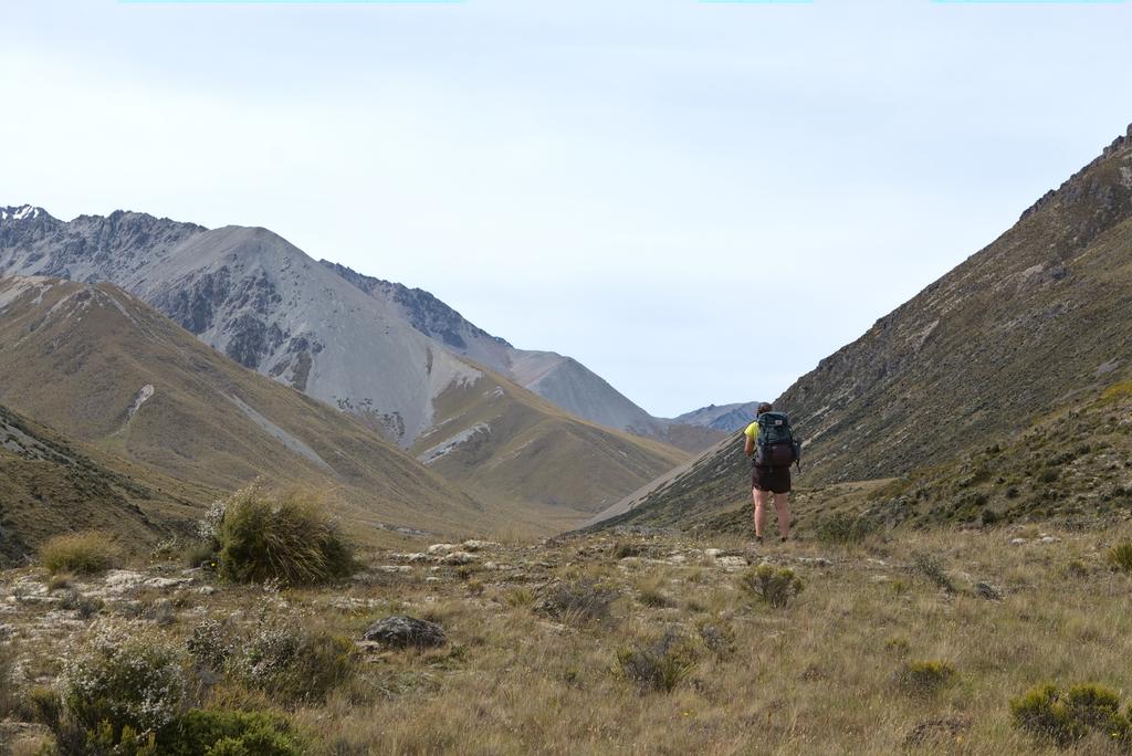
📷: Finn Le Sueur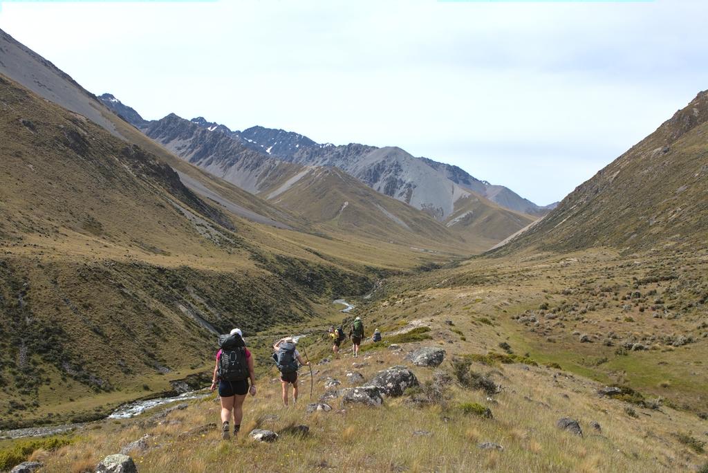
📷: Finn Le Sueur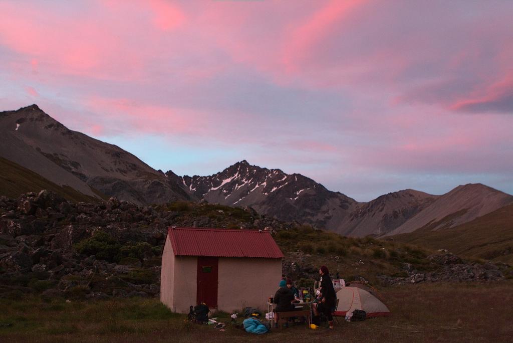
📷: Finn Le Sueur
Day 2: To Maitland Hut
The day starts off gently, meandering along the valley floor. At the second marked stream on Topo50 you can find a pole and some vaguely walked ground leading you up towards the saddle between Points 1690 and 1781. We stayed to the true right of Points 1352 and found a couple more markers along the way. There is not much of a track to speak of, only the occasional orange marker to reassure you.
Once you gain the saddle you are greeted with a beautiful view down both valleys and up to the surrounding mountains! Well worth the climb. The track descending towards Maitland Hut from the top is slightly better formed than the south side, but not by much. It fades in and out of existence, weaving across streams and between clusters of spaniards 🩸🩸. Make sure you look up the valleys to Mt Stafford and Mt Peterson on your west - truly beautiful.
There is an orange marker and a very cute wooden sign to indicate your entry into the forest just before Maitland Hut. As long as you stay on the true left of the creek you should see it on a small bank above a tributary that comes down from Mt Peterson. From the entry to the forest, the track quickly reaches the hut through a well-formed - if overgrown - beech forest. This forest was a relief for us because it was a hot day and we needed a little shade.
Unfortunately, we found the hut full but were glad for a toilet. This wasn’t too much of a problem though because the weather was clear for a few more days yet. We disassembled the tent to use the various pieces as ground mats. That night the six of us slept outside under the stars with nought to disturb us except the a very incessant ruru. Not the best sleep I’ve ever had, but I loved the stars ✨.
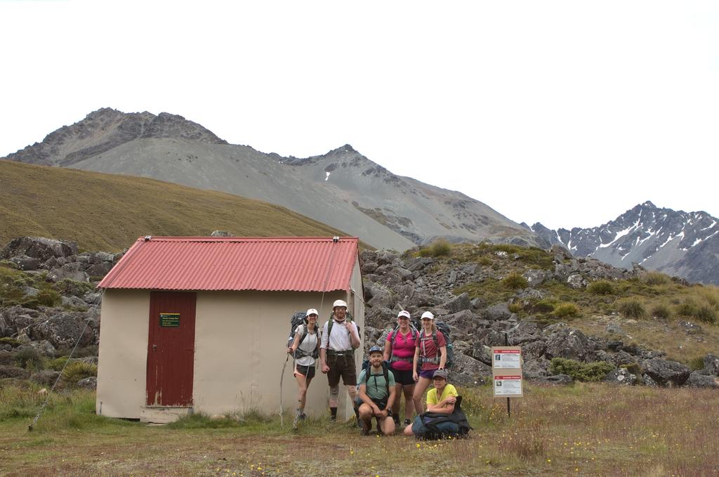
📷: Finn Le Sueur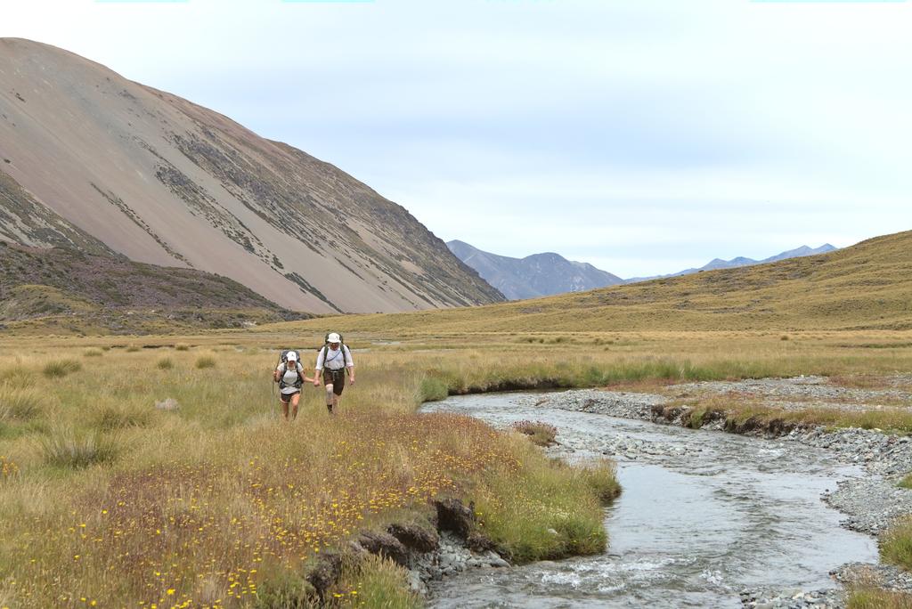
📷: Finn Le Sueur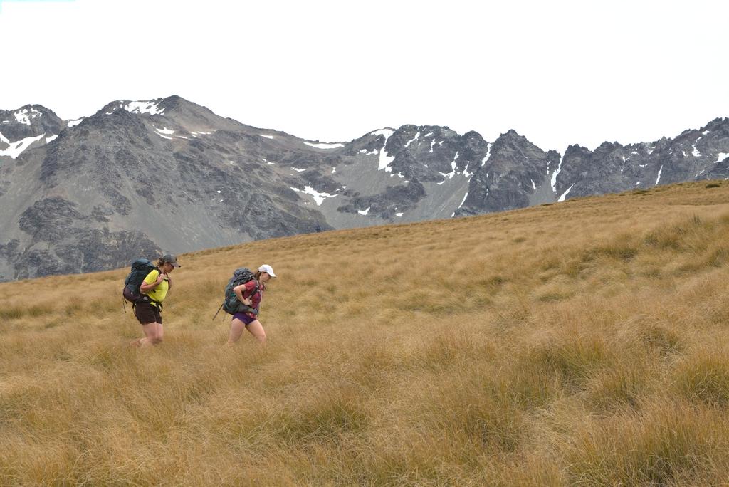
📷: Finn Le Sueur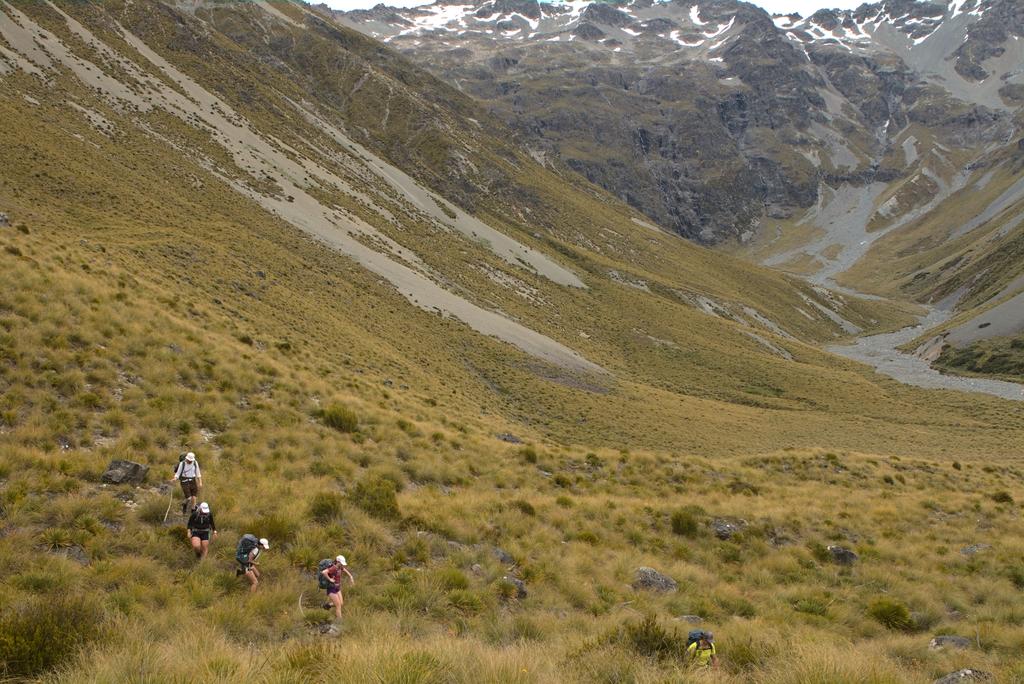
📷: Finn Le Sueur
Day 3: Out to Lake Ōhau
This day starts by descending into the Maitland Stream valley where it follows the stream for a few kilometres. Only 300m below Maitland Hut is a river crossing which we were warned can become swift and dangerous to cross after rain - thankfully the area hadn’t seen rain in many days and we crossed without a problem.
There are some high river tracks but you should be able to stay low and avoid a lot of climbing if the river is down. That said, stick with what is the most well-formed track! After a short way, the track leaves the stream and starts climbing rather unrelentingly. It crosses a couple of scree slopes before gaining the top of the Ōhau Station 4WD track. From there you simply descend on the track all the way to the station.
My only note of caution is to turn left not long after you see a DOC avalanche zone sign - we missed this turnoff and did a bit of a loop through the farmer’s paddock by accident (evident on the GPS). Otherwise, this last section of track is rather unremarkable. Jen said that she would have been quite sad if we had walked in the other direction and had to climb that farm track on the first day!
We picked up the two cars and went immediately down to Round Bush Campsite for a swim in Lake Ōhau! Very, very refreshing. Amy and Stephen went back to Christchurch while Jen and I took Hayleigh and Em back to their car by the Ahuriri, at which point we also parted ways. It was a first great tramp together and I’m looking forward to the next one!
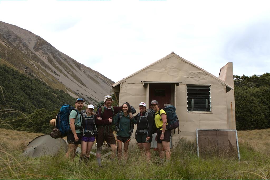
📷: Finn Le Sueur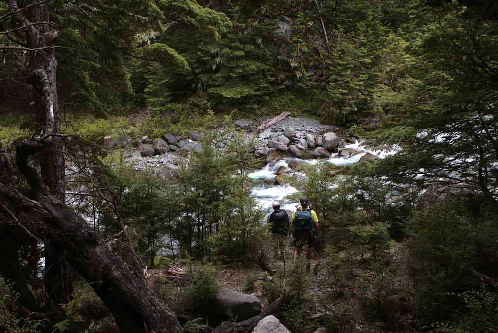
📷: Finn Le Sueur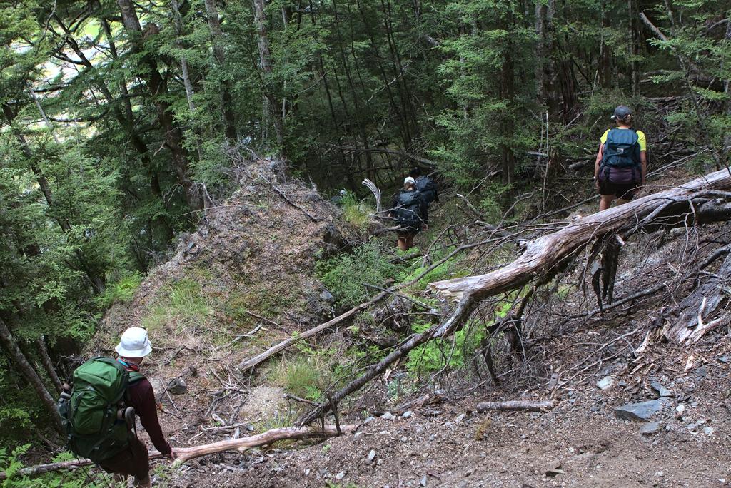
📷: Finn Le Sueur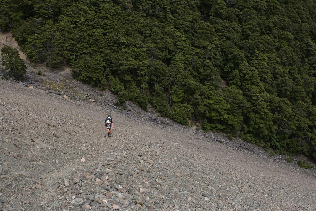
📷: Finn Le Sueur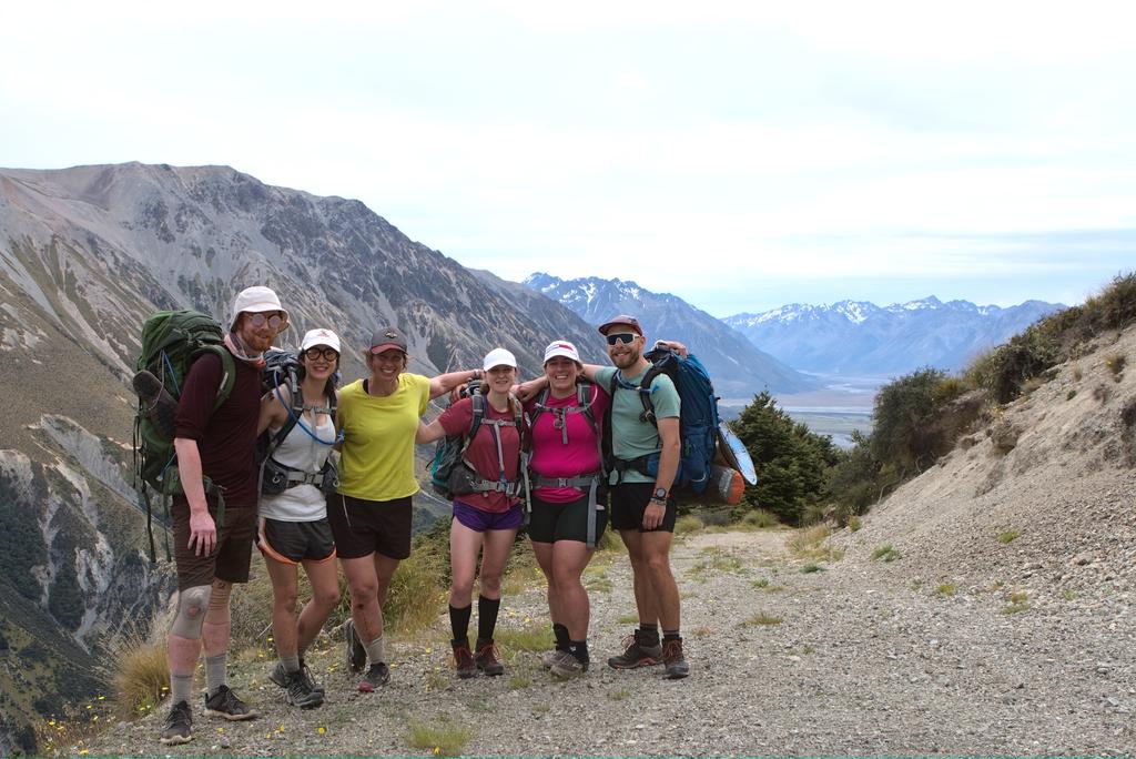
📷: Finn Le Sueur