Pinchgut Hut
Activity Date:
Updated:
People:
Finn,
Jen,
Korra 🐕
| Sat May 27, 2023 Download GPX Pinchgut D1: In via Mt Thomas and Whare Route | 12.00km 3:46:59 | 3.17km/hr 1029m ⬆️, 1009m ⬇️ |
| Sun May 28, 2023 Download GPX Pinchgut D2: Out via Bobs Camp | 16.45km 6:00:15 | 2.74km/hr 1260m ⬆️, 1313m ⬇️ |
| Total | 28.45km 9:47:14 | 2.91km/hr 2289m ⬆️, 2322m ⬇️ |
Comments Section
Day 1: Pinchgut Hut via Mt Thomas & Whare Route
12.00km (1029m 🆙, 1009m🔻) in 3hr 46min @ 3.17km/hr.
I originally planned for Jen and I to do this trip in 2022 but we never got around to it, so when we were sitting on the couch bored on a Friday night and the weather looked okay, everything was already researched and ready to go!
We started late in the day but were confident that we would make it to Pinchgut Hut in good time, and we were not disappointed. While not at our physical peak, both feeling significantly detrained, here were our times:
- Mt Thomas via Summit Track: 1hr 20min
- Whare Route Junction: 1hr 10min
- Pinchgut Hut: 1hr 15min
Because we started late we didn’t stop for lunch, preferring to snack while we walked. The track starts quite nicely but quickly becomes a direct assault on the ridgeline. It climbs steadily, with only 2-3 flat sections to catch your breath. Near the top you exit the pine forest into a more typical Canterbury high country shrub and forest. Here, the track eases off a little bit so you can regain some composure before reaching the summit.
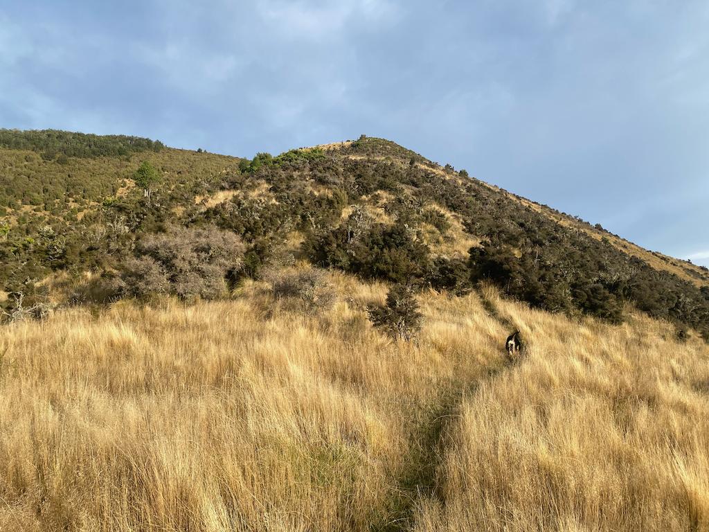
From the summit the track undulates through some lovely tussocked ground before re-entering the forest just before you reach the Wooded Gully track. From there it climbs to Point 1043, undulating all the while. After Wooded Gully the track also continues to decline in quality, becoming muddier and rootier the further you go along.
The junction for the Whare Route is well signposted and very obvious. It follows the ridge for quite a long time, popping in and out of the trees, giving you some truly beautiful views of the surrounding hills – especially nice on an autumnal afternoon.
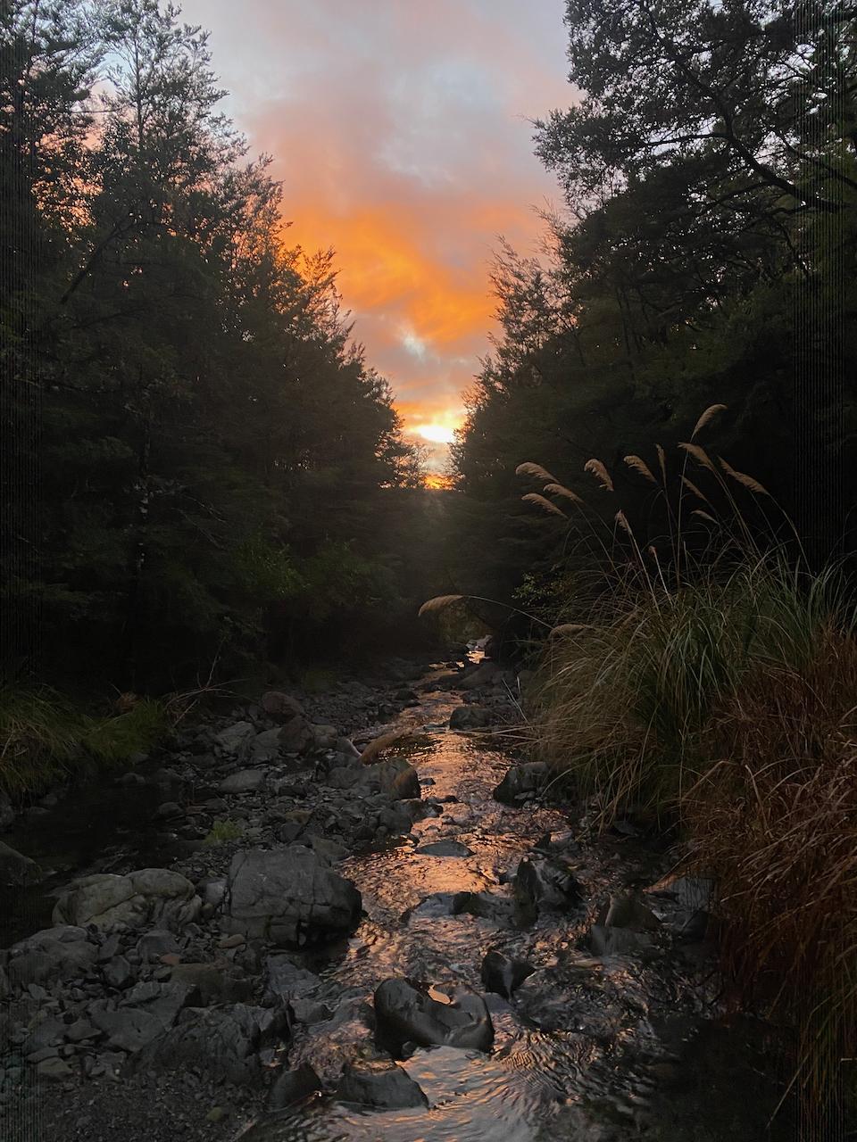
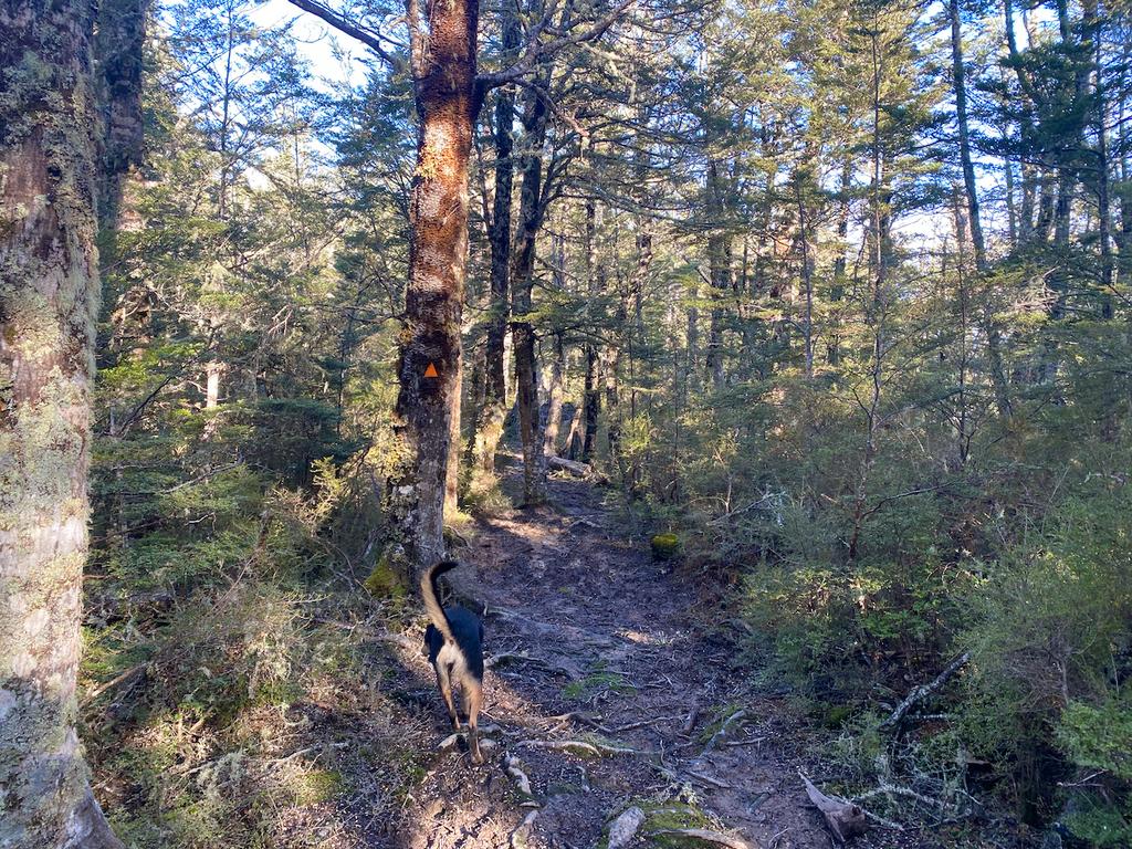
You reach some larger clearings around Point 552 before descending sharply to Pinchgut Hut. The track continues to be in good condition, very clear, and well posted with orange-capped snowpoles.
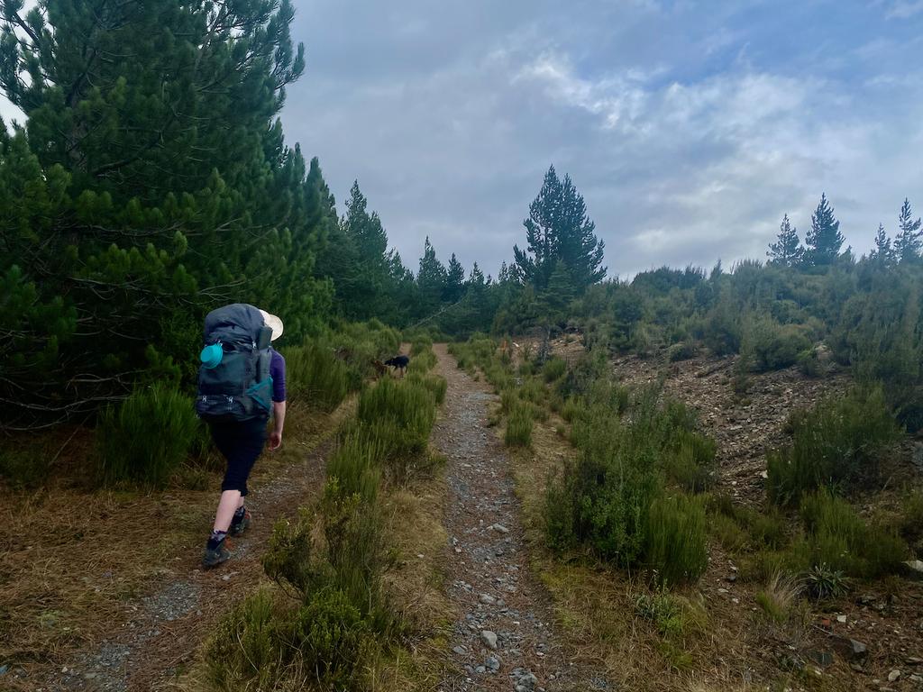
📷: Finn Le Sueur
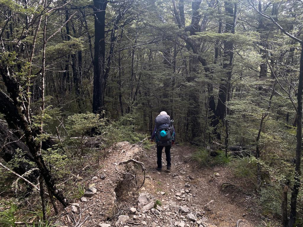
📷: Finn Le Sueur
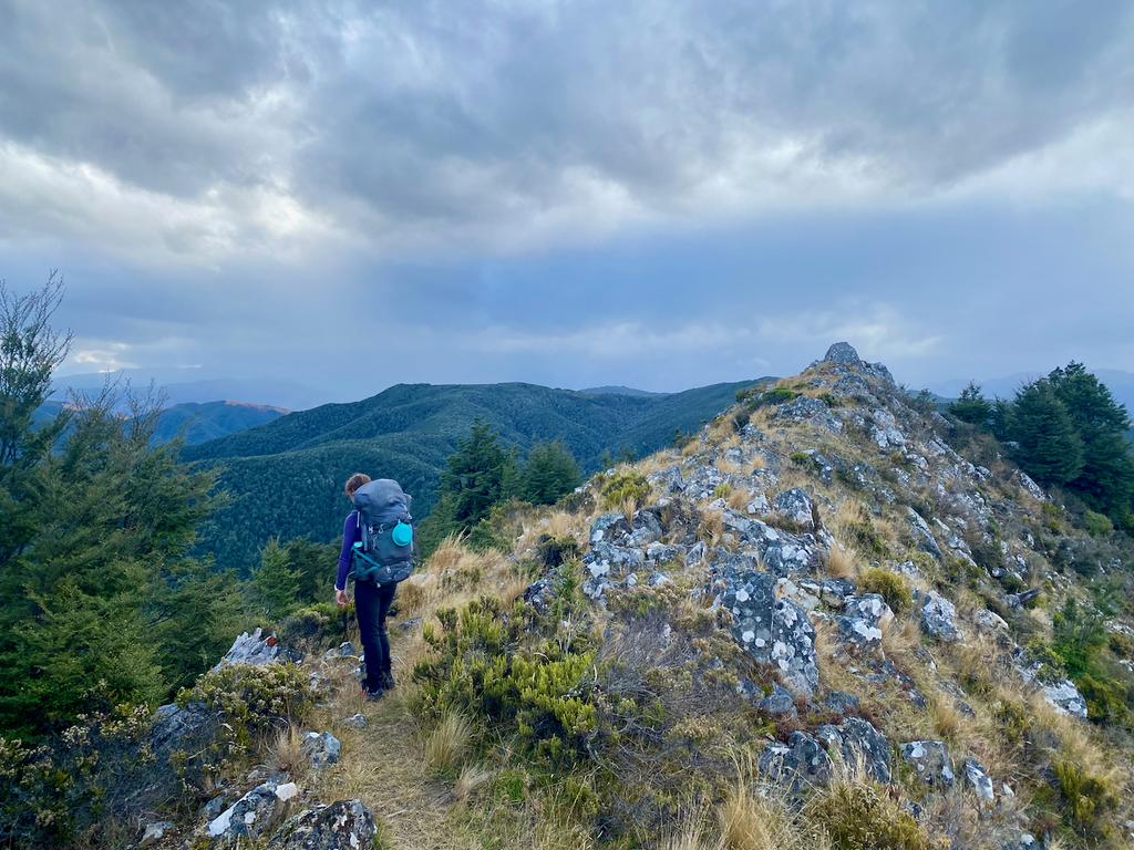
📷: Finn Le Sueur
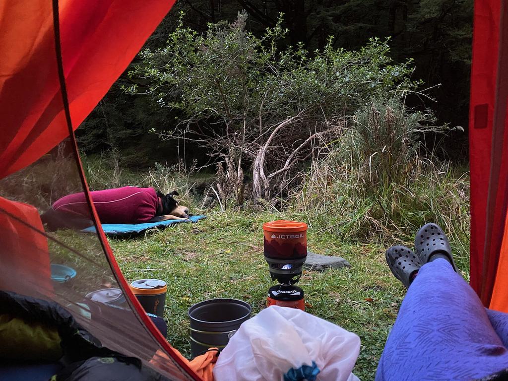
📷: Finn Le Sueur
📷: Finn Le Sueur
Day 2: Out via Cattle Peak Route & Bob’s Camp Bivouac
16.45km (1260m 🆙, 1313m🔻) in 6hr 0min @ 2.74km/hr.
- Bob’s Camp Junction: 2hr 20min
- Whare Route Junction: 56min (12:13pm)
- Ridge Track Junction: 30min
- Out: 1hr 27min
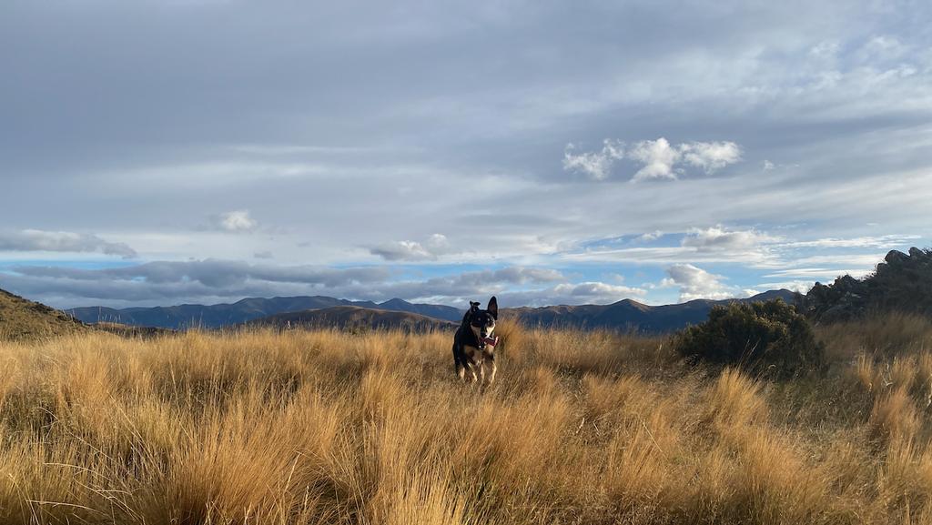
We woke early because Korra was trying to get out of the tent, and standing on our faces in the attempt. After a standard breakfast of oats with an obscene amount of brown sugar, plus a nice aeropress coffee, we headed off!
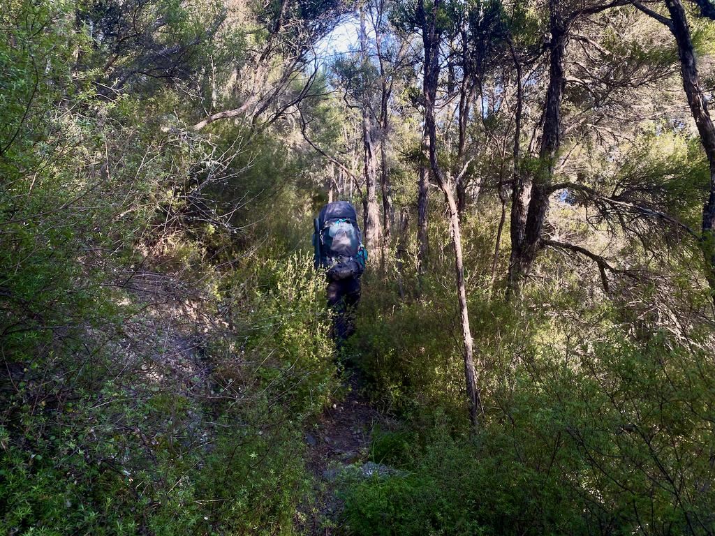
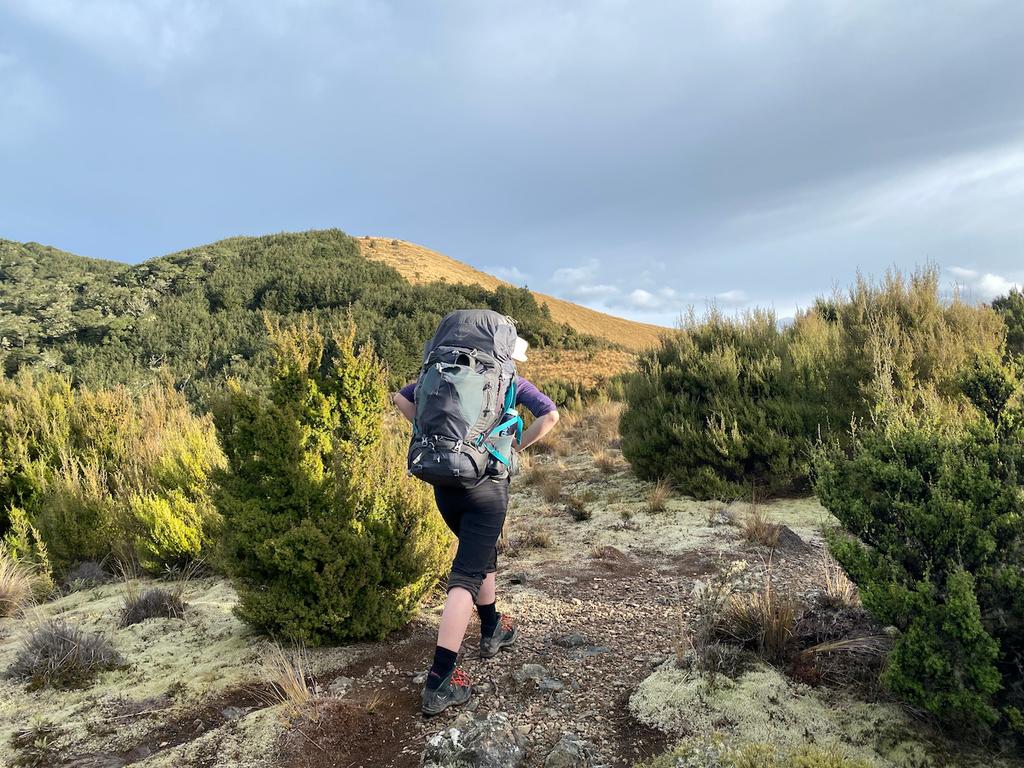
The track climbs steeply immediately out of camp and does not relent until much further up, around Point 961. We read that the track can be a bit obscured by shrub, and we also found this to be the case, but as long as you keep your eyes up for another snowpole in the distance, you will be fine! It didn’t present any navigational challenges on a good day, but could definitely be a bit more spicy in dense cloud.
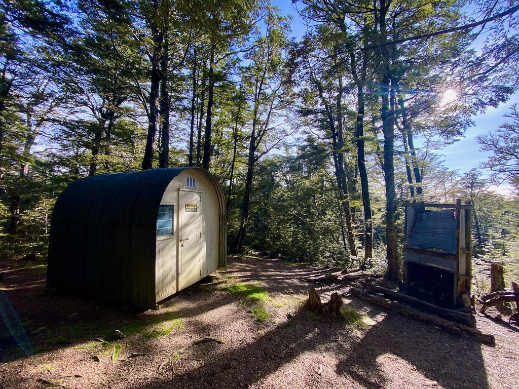
Past Point B2MF the track descends quite nicely through some forest and low shrub. It became quite muddy and wet underfoot here, so keep that in mind. It takes about 10 muddy minutes to descend to Bob’s Camp Bivouac, but it’s totally worth the trip. The campsite is very cute, and there’s lots of room to pitch a tent in the beech forest. I might be bias due to sun coming through the trees, but I definitely want to go back for a night. That said, the only water source is a small creek east of the hut. Jen found it to be nothing more than a silty, trickle – so, in summer you will need to bring all your own water!
The track from Bob’s Camp back to the Whare Route junction was also quite muddy, and a surprising amount of work with the ~200m descent to the saddle and then the climb back up the other side. Really great forest, though! We lunched here and Korra even managed to scavange a bun from Jen (I’d have eaten it!).
From there it’s only a short climb past Point 1043 to Ridge Track junction. The track is very well formed, and wide. Near the top it can be quite boggy, and also around Point 865. After that, however, the track is really nice – if a bit of a quad smasher.
You will soon find yourself popping out into a small grassy clearing before entering the pine forest plantation. A very straightforward track takes you to a forestry road which you follow back to the car. Pretty great stuff! We found this day quite a bit longer than the first, owing mostly to the extra 200m climbing, the poorer condition track, and tired legs.
📷: Finn Le Sueur
📷: Finn Le Sueur
📷: Finn Le Sueur
📷: Finn Le Sueur
📷: Finn Le Sueur
📷: Finn Le Sueur