Pakituhi - Stody’s - Moonlight and Roses
Last updated
Wed Jan 5, 2022
Download
GPX Day 1.1: Shuttle The Car | 5.88km 1:01hrs | 5.76km/hr 118m ⬆️, 119m ⬇️ |
Wed Jan 5, 2022
Download
GPX Day 1.2: Up to Pakituhi Hut | 4.56km 2:36hrs | 1.75km/hr 966m ⬆️, 85m ⬇️ |
Thu Jan 6, 2022
Download
GPX Day 2: To Stody’s Hut | 11.36km 2:47hrs | 4.08km/hr 570m ⬆️, 765m ⬇️ |
Fri Jan 7, 2022
Download
GPX Day 3: To Moonlight and Roses Hut | 16.07km 6:23hrs | 2.52km/hr 889m ⬆️, 962m ⬇️ |
Sat Jan 8, 2022
Download
GPX Day 4: Out via Dingle Peak ⛰ | 15.95km 8:55hrs | 1.79km/hr 1011m ⬆️, 1649m ⬇️ |
| Total | 53.82km 21:43hrs | 2.48km/hr 3554m ⬆️, 3580m ⬇️ |
Comments Section
The day we got out from the Snowy Gorge - Maitland trip, Jen and I stayed the night in Omarama - very happy to have a shower and eat some vegetables!
The next day we drove through Lindis Pass to Lake Hawea and Timaru River. We were going to do a four day trip that was potentially going to culminate in summiting Dingle and Corner Peaks.
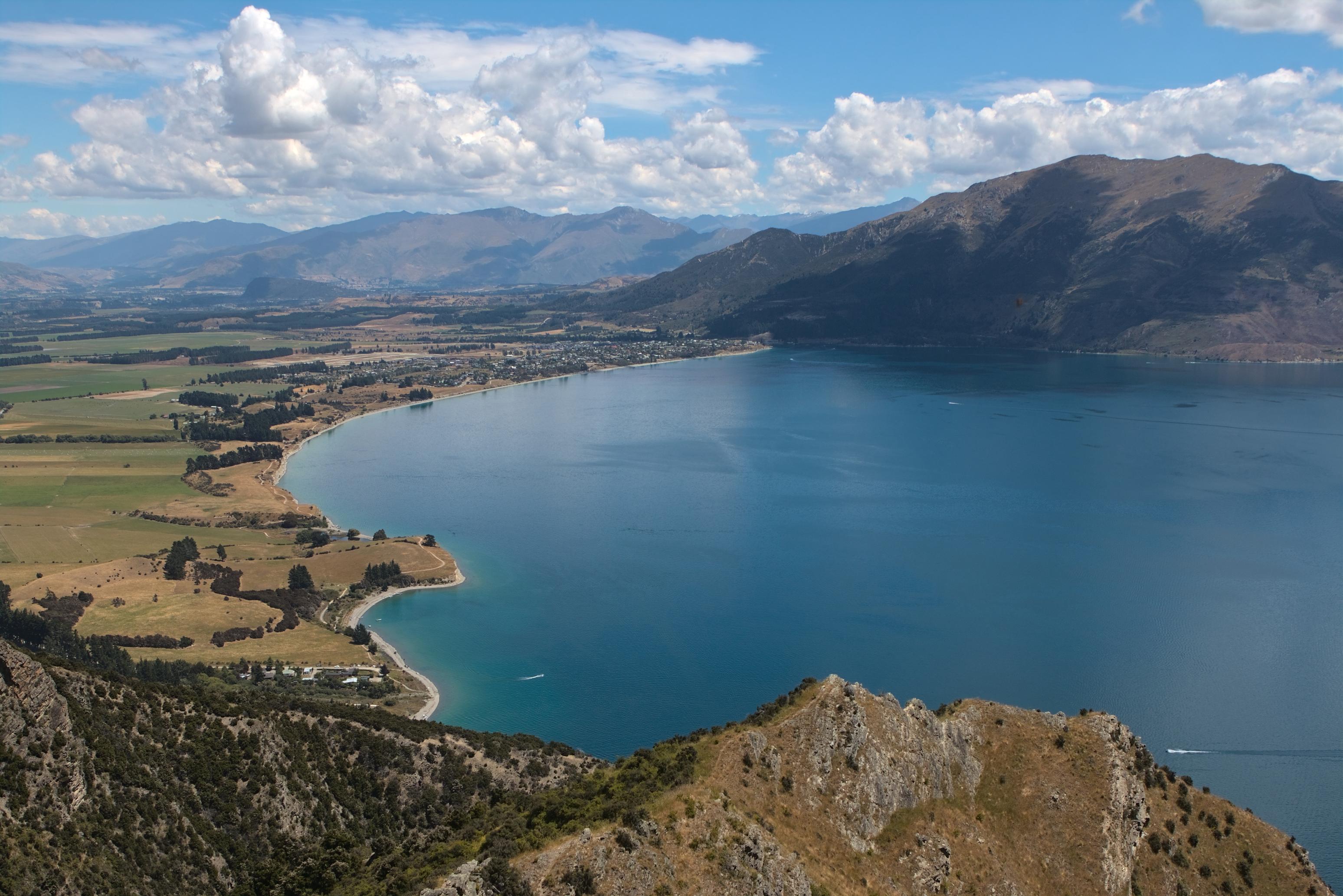
Day 1: To Pakituhi Hut
We knew that we were going to finish the tramp at the bottom of Timaru River and that it was going to be a long last day, so we opted to drop the car at the Peter Muir Bridge carkpark and walk back to the start of the track to Pakituhi Hut. We thought about running but it was exceptionally hot so I vetoed. It took us an hour to walk back to the track start and then another 2.5hrs to climb to Pakituhi Hut, where 36 of those minutes was us completing the zig-zags at the start. There is no shade the whole way and it is very steep. We drank a lot of water, but still not as much as we should have! We were very pleased to reach the hut and be able to cool off a little bit. We were even more pleased to have the hut to ourselves given that it is part of Te Araroa!
📷 Finn Le Sueur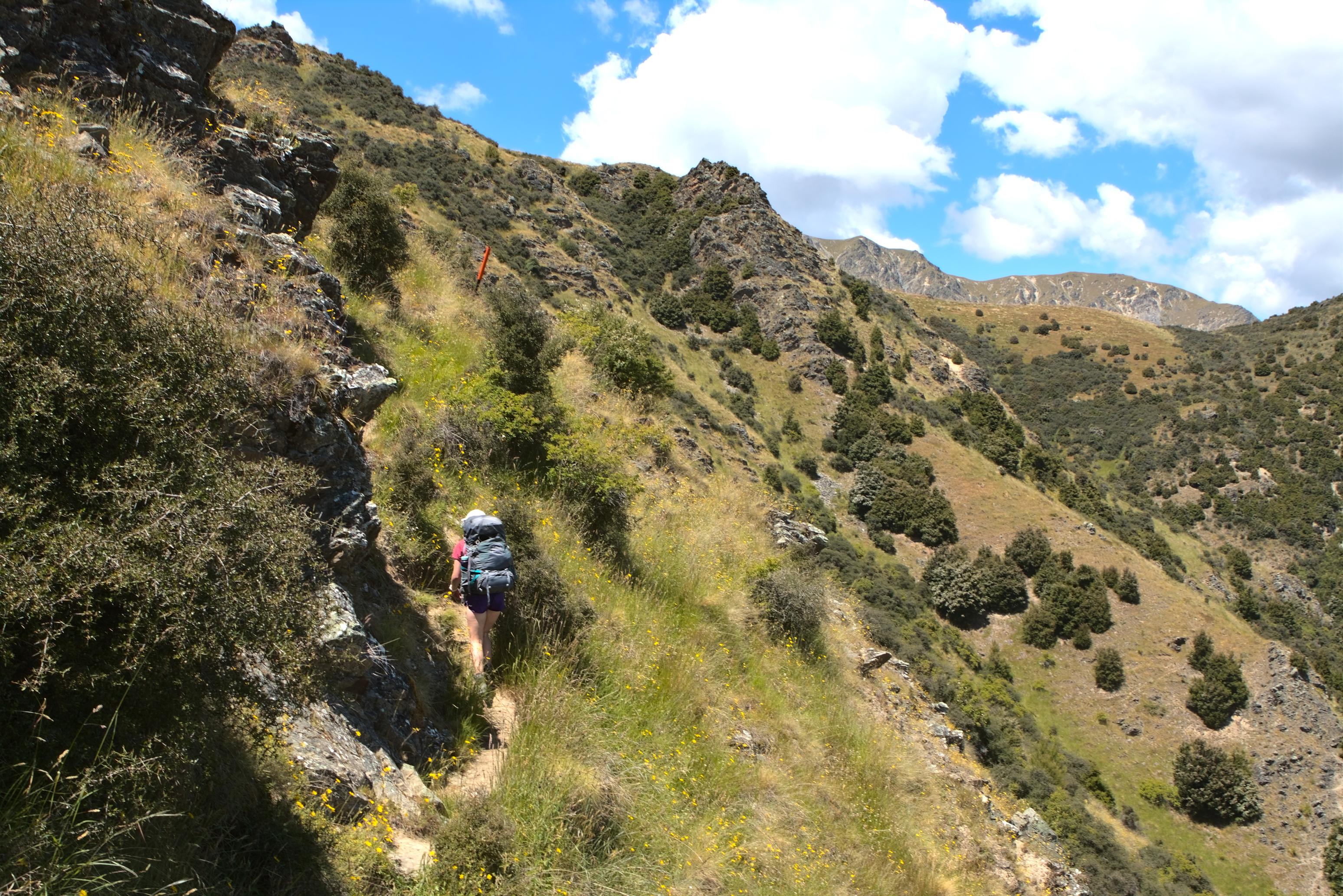
📷 Finn Le Sueur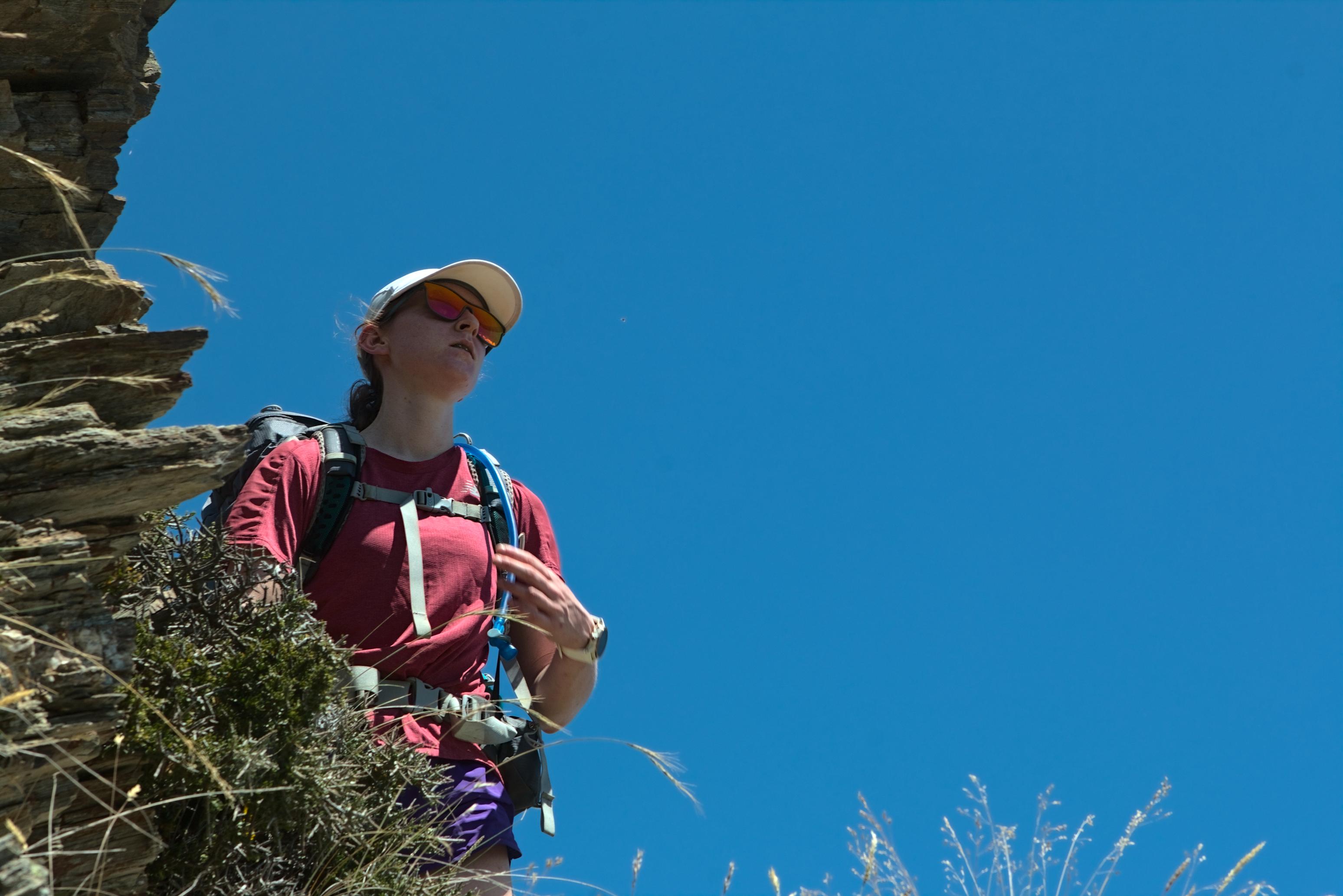
📷 Finn Le Sueur
Day 2: To Stody’s Hut
After a quick climb past Point 1359 onto the ridgeline, the track climbs quite reasonably along to Breast Hill. There are some great cliffs here so take the time to check out the views! The track is well marked and walked along to Breast Hill (1hr).
After Breast Hill the track becomes a 4WD one - rather boring - but makes for fast walking. The ascents and descents are of a nice gradient and we made excellent time along here. While we walked this section of trail we investigating Dingle and Corner Peaks to assess the route that we might want to take. I hadn’t been able to find any GPX tracks online, so we were just going to make it up.
The track turns off to Stody’s Hut between Points 1409 and 1418 and quickly descends the last 2km down to the hut. Stody’s Hut is a dirt floor, although it is decked out with a tarp. It has one south-facing window and a fireplace. There is a small stream for water and a long drop for a toilet.
We arrived at 12:30pm and spent the next 10 hours lying in the sun, reading and eating. It was completely delightful. Perhaps our favourite day of the whole trip.
📷 Finn Le Sueur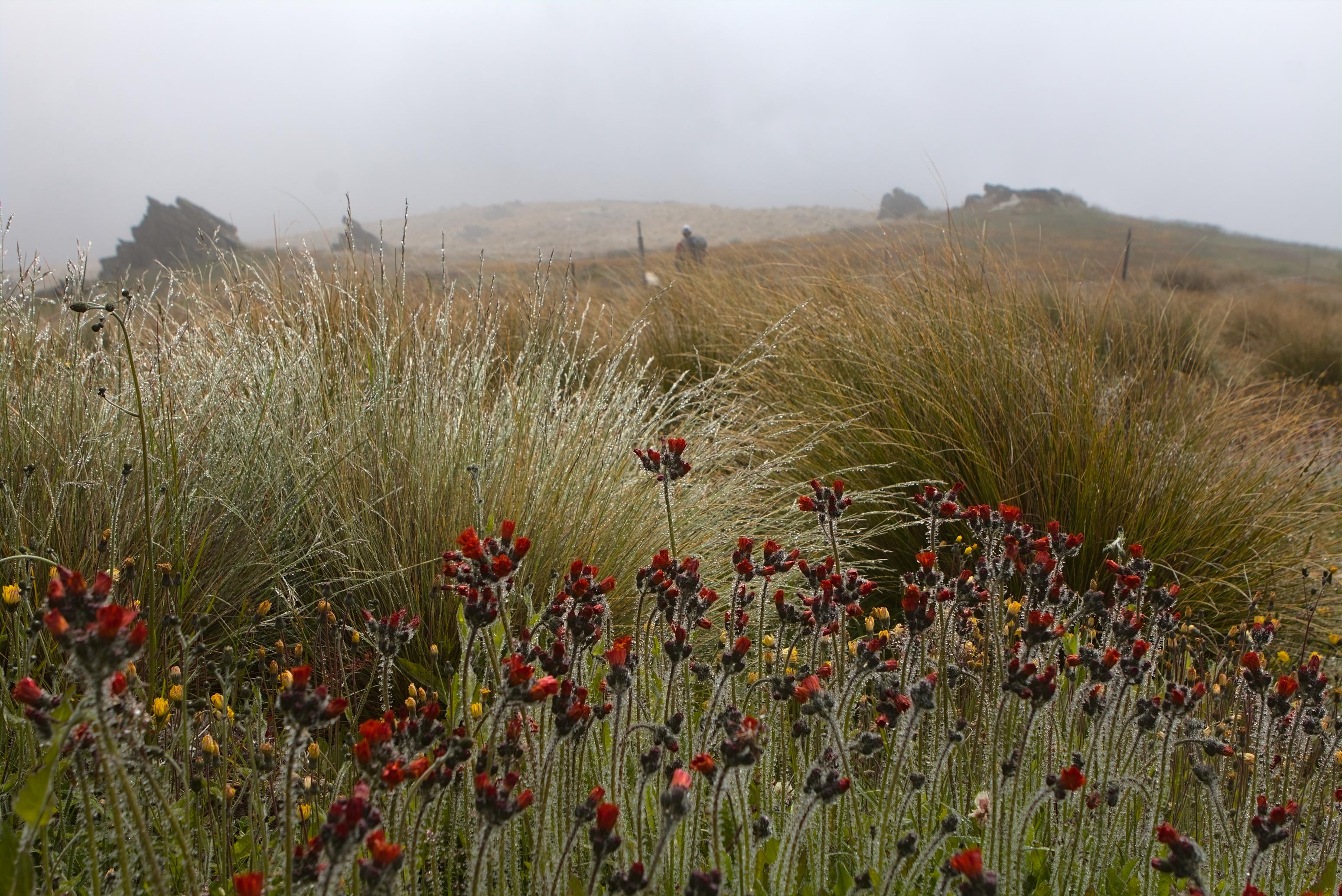
📷 Finn Le Sueur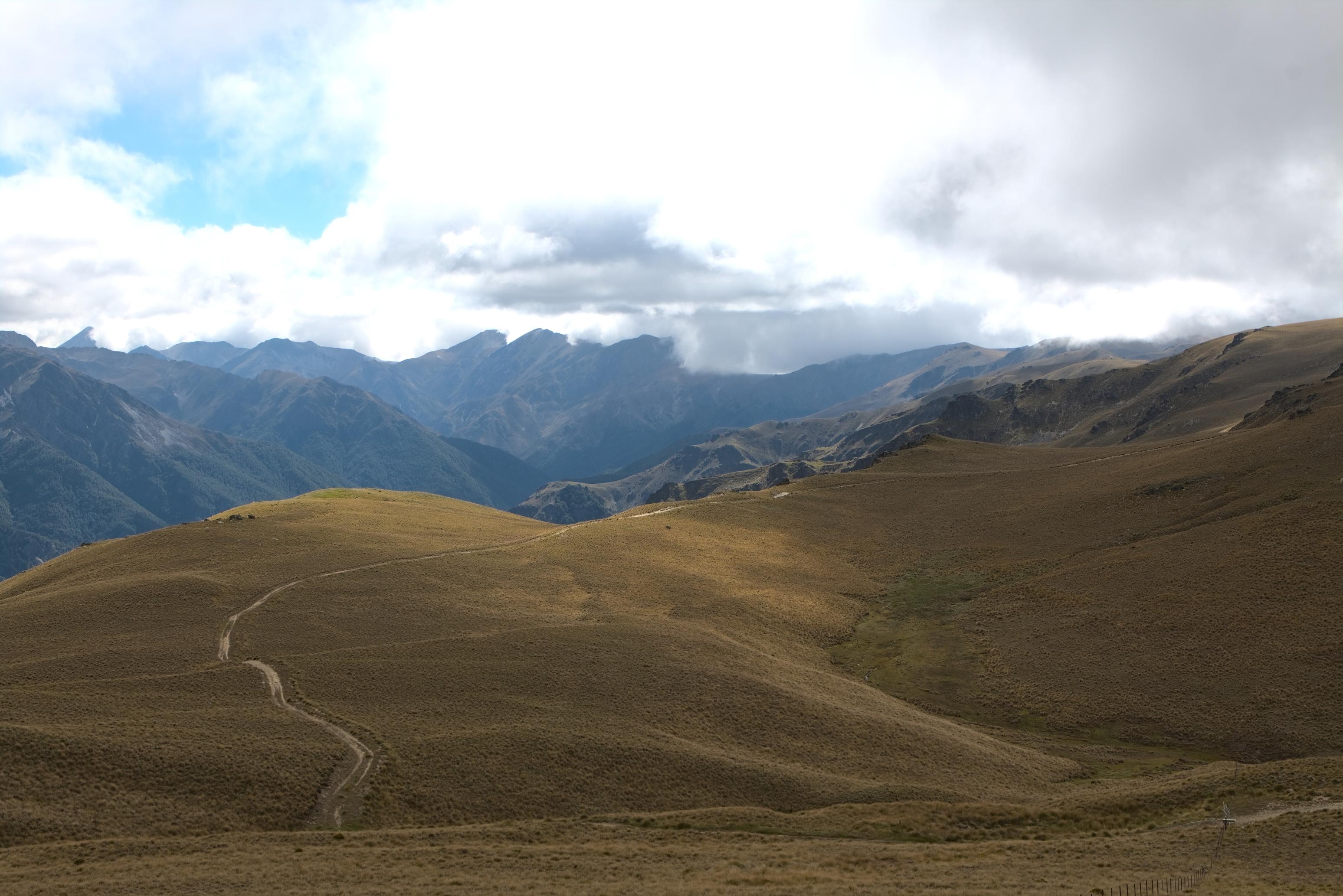
📷 Finn Le Sueur
📷 Finn Le Sueur
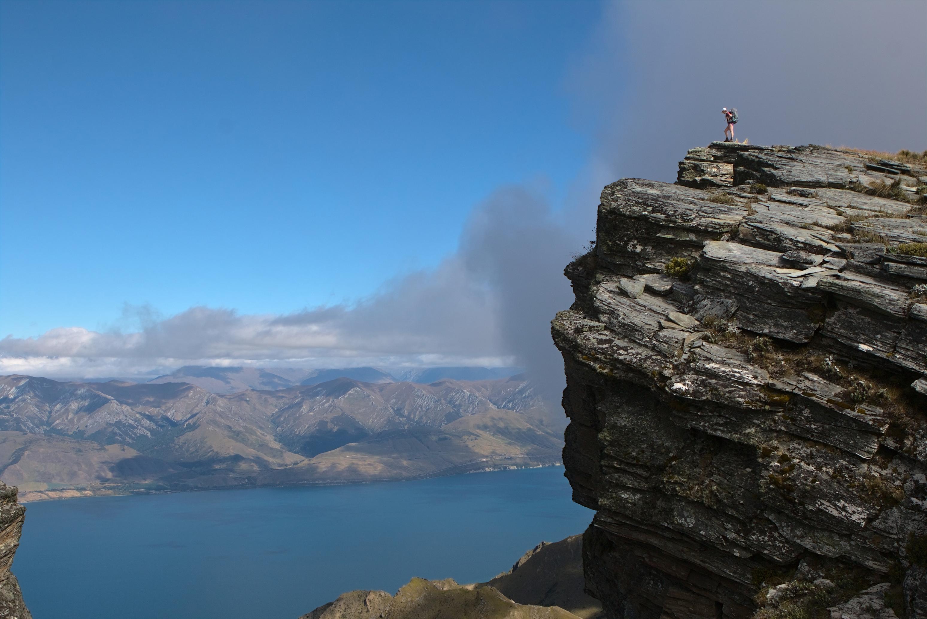
Day 3: To Moonlight and Roses Hut
This day is where the walking got a little more adventurous which was nice! The day starts by descending steeply down to the Lower Timaru Rive rTrack whcih we followed until it met the river itself. From there we followed the riverbed until we found the tributary creek that would take us up to Moonlight and Roses Hut. This creek is unnamed but I believe it is referred to as Chamois Creek in other blog posts (it’s very unclear).
We had a quick lunch at the confluence before heading up the stream - it was swelteringly hot and we were glad for some more river walking. The going is very straightforward and it never got so gorgy as to pose any trouble. That might be a different matter after lots of rain in which case you can gain the hut via the spur above Junction Hut.
The valley opens out a few km up the river and a track is marked there on Topo50. We could not find any indications of that track - it is unclear whether it still exists. I doubt that is does as do other hikers from 20+ years ago in the hut book.
Moir’s Guide said to leave the stream a steep, slightly sketchy scramble up a frozen scree bank took us onto easy deer trails up the spur. - Waitak Athlete
Having not read Moir’s Guide, we estimated that this meant the spur where the creek splits (you can see it on the GPS map). It was okay - we managed to gain the spur up some terrible scree and treefall before doing our best to get out into the open above the treeline. The going was slow through here as the terrain was not good, no track could be found and there were some spaniards to content with. Not to mention, we were both a bit tired! This was our 6th day of consecutive tramping.
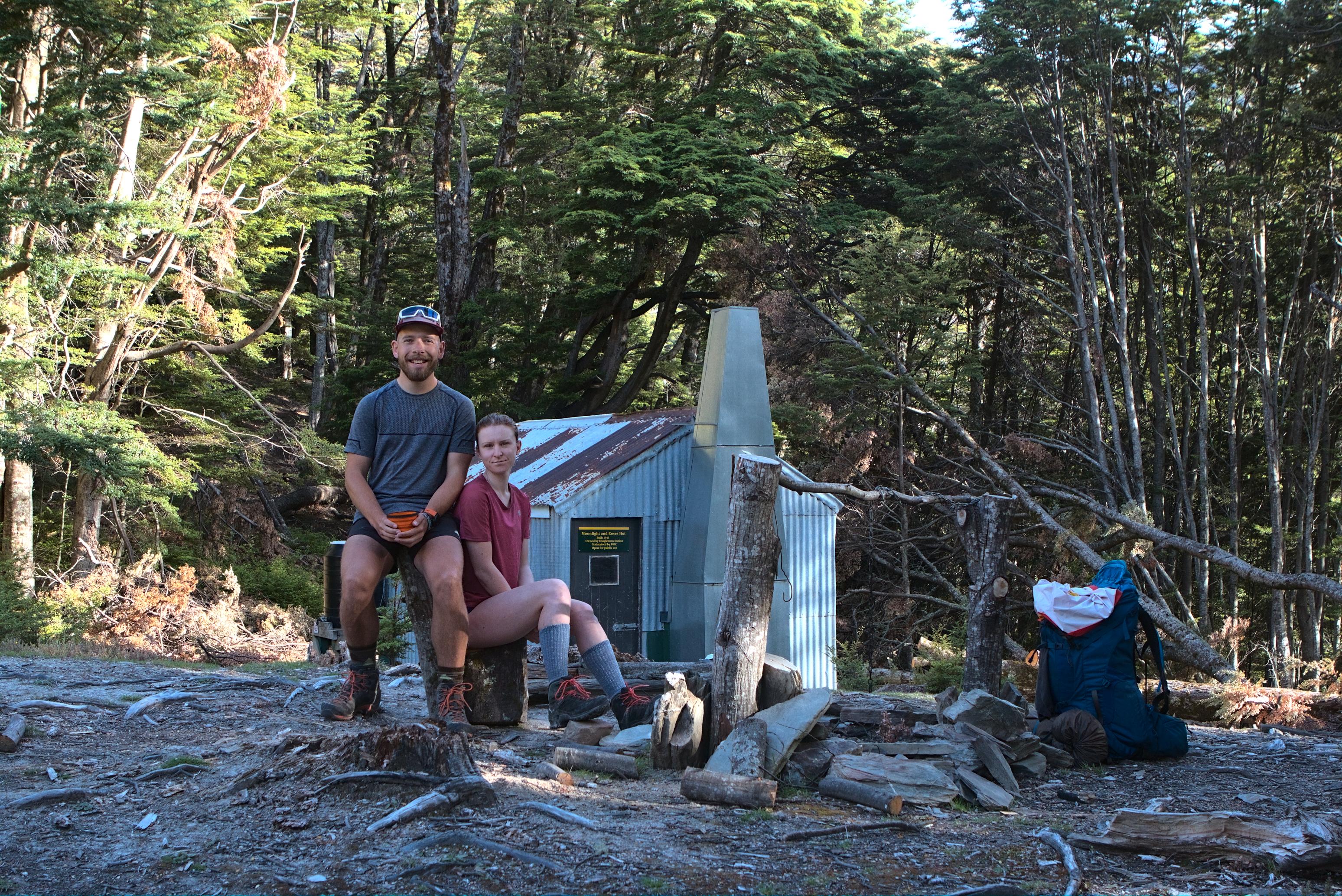
We finally found the hut nestled on the end of the forest and boy is it a cute wee site for a hut. There is no loo (at least not that we could see) despite the DOC website saying otherwise. We had a few daylight hours left so made the most of them by reading our books and eating in the sun. I loved it there.
📷 Finn Le Sueur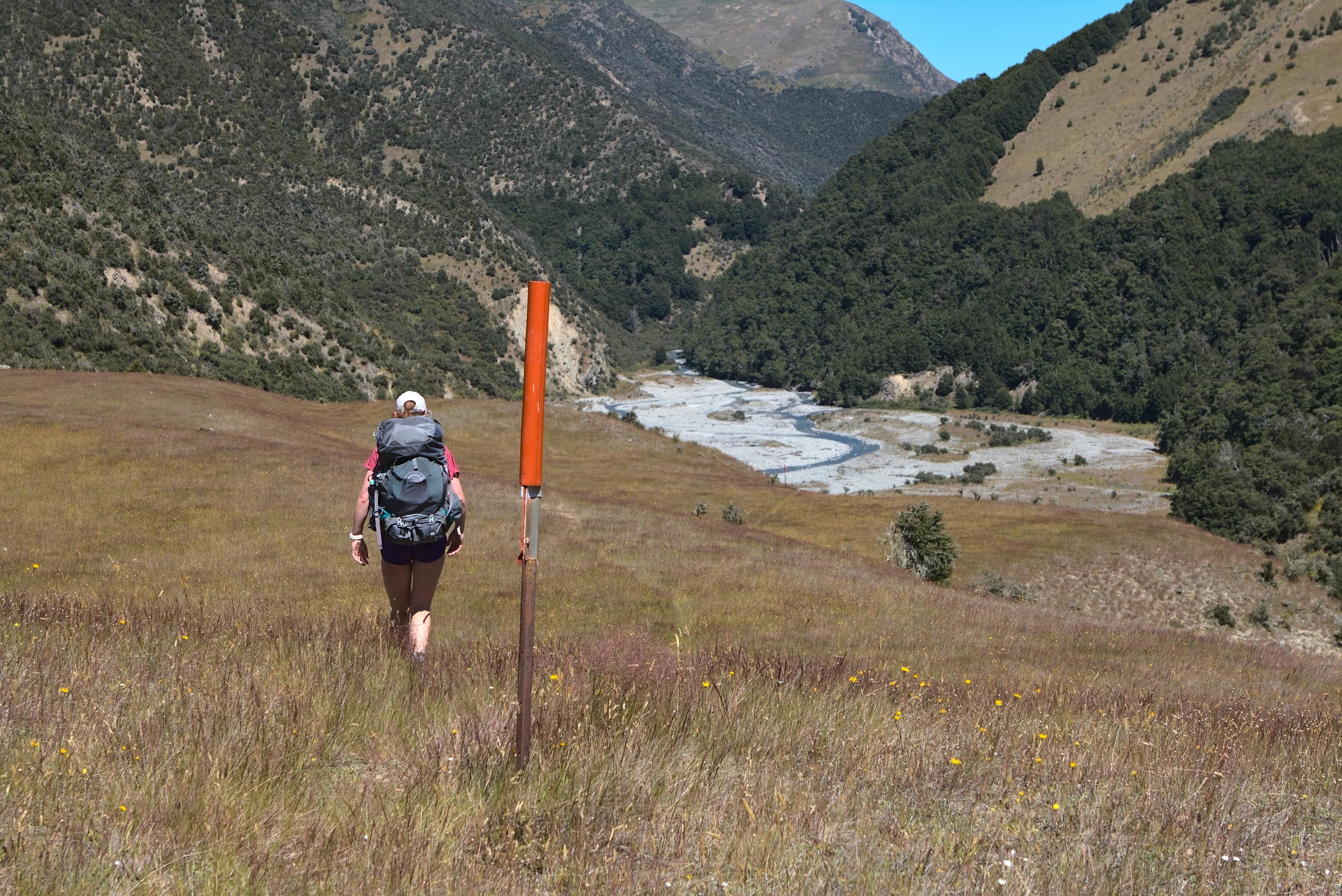
📷 Finn Le Sueur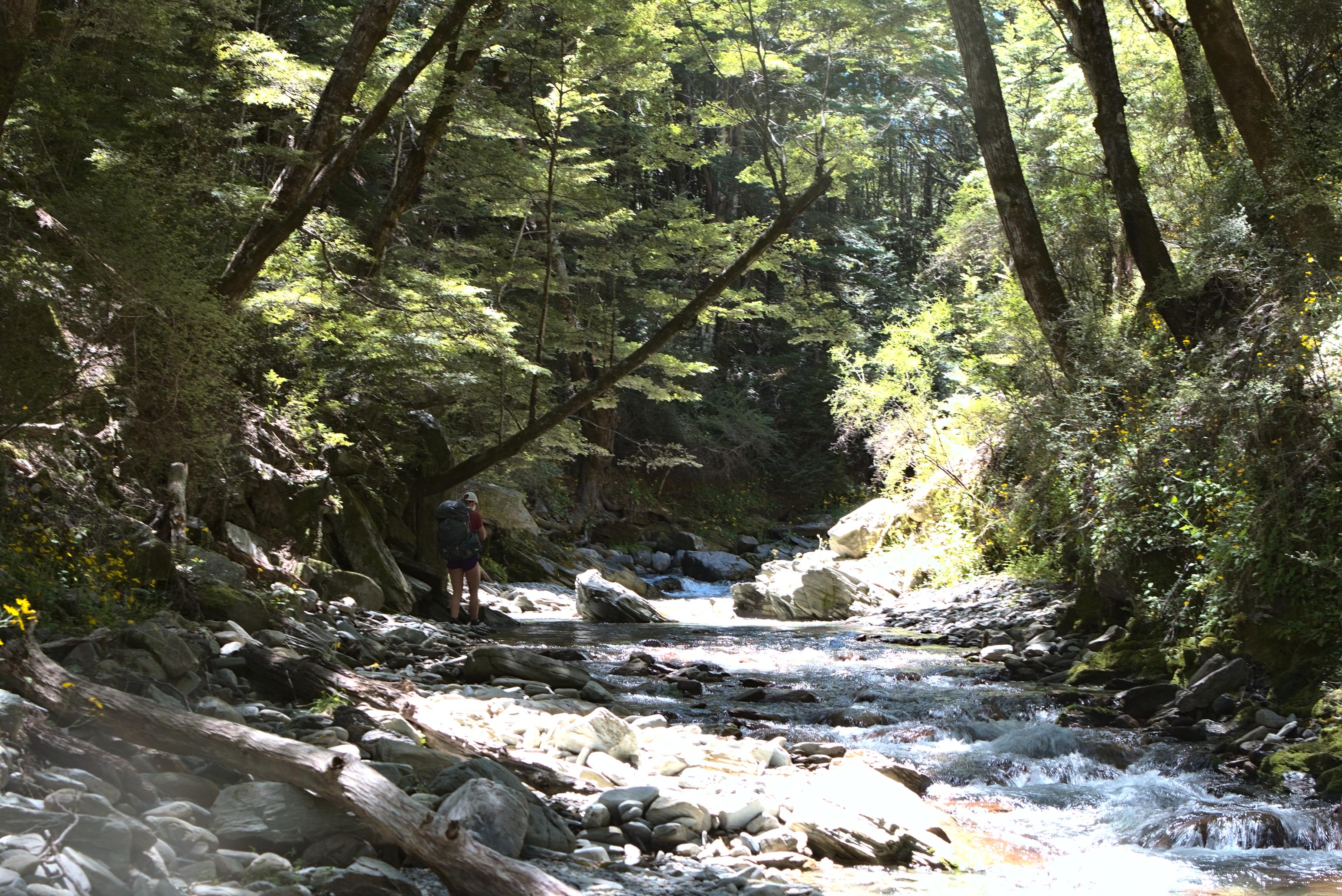
📷 Finn Le Sueur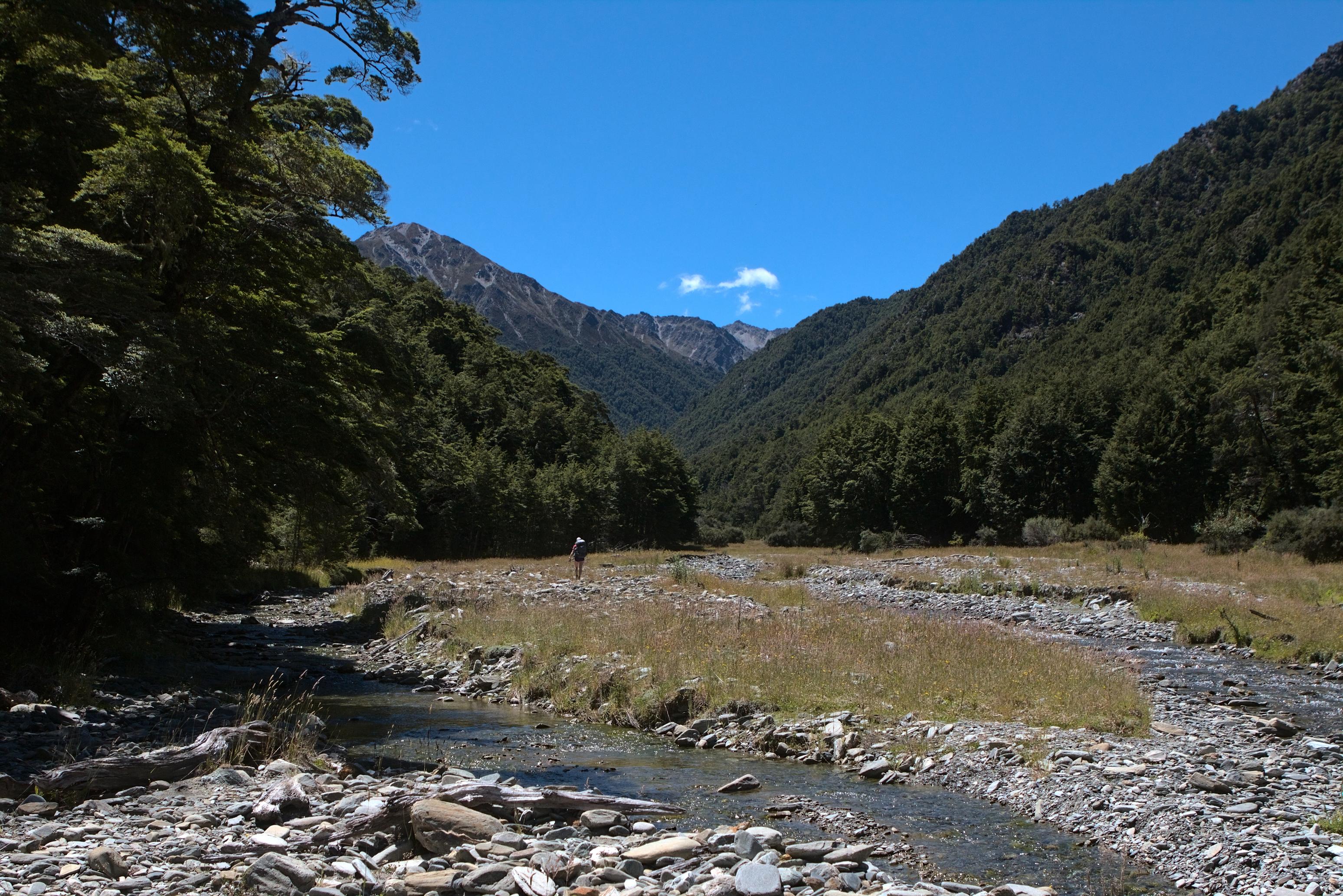
📷 Finn Le Sueur
Day 4: Out via Dingle Peak
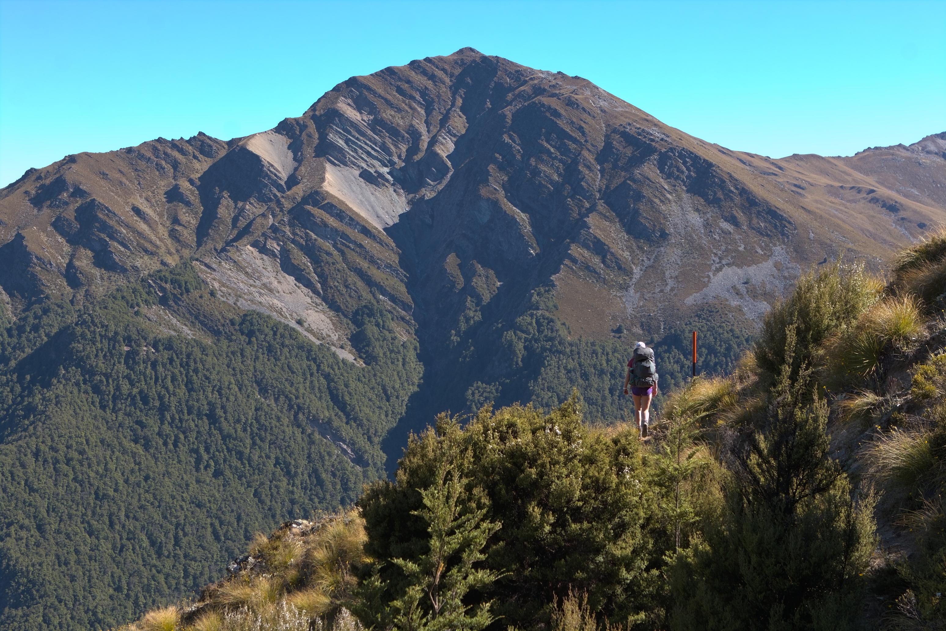
We were feeling a bit worse for wear on this last day but started off with our original plan of both Dingle and Corner Peaks in mind. We gained the saddle just above Point 1414 quickly and were soon confronted with Dingle Peak looming over us. We cut straight off the saddle down into the valley before heading straight by up, taking a beeline for the peak. We saw that we could be on tussock almost the whole way to the top, which was a relief. We climbed steadily, but Jen was feeling rather tired in her legs and lost a good deal of morale on the way up.
In the end we gained Dingle Peak but Jen didn’t feel like doing Corner Peak as well. Instead, we opted to scree off the west side of the peak and take a ridgeline down into Deer Creek. This was an okay plan except Jen rolled her ankle on the scree and didn’t enjoy herself for the next couple of hours. We finally gained a ridgeline which took us towards the treeline - this was where I made a foolish error. We tried to bush bash through the spur to the river when we should have dropped down to the creek on the tussocks when we had the chance. Do not bash through the trees. We got a bit bluffed out and ended up making a real sketchy descent through some bluffs to the stream. Not recommended at all.
We managed to reach the valley floor and follow the stream for the next few kilometers to Junction Hut which was, actually, quite a lovely section of walking. It was convenient for Jen too because she got to ice her ankle!
We had a quick rest and snack at Junction Hut before doing our best to blast down the Lower Timaru River Track to the carpark, knocking it out in about an hour.
All in all this was an epic trip with a good deal of variety. I don’t think we made the wrong decision trying to summit Dingle Peak, but I think a more sane way to exit would have been to get into a stream ASAP or even to backtrack to the ridgeline above Moonlight and Roses Hut and to follow that down to Junction Hut.
📷 Finn Le Sueur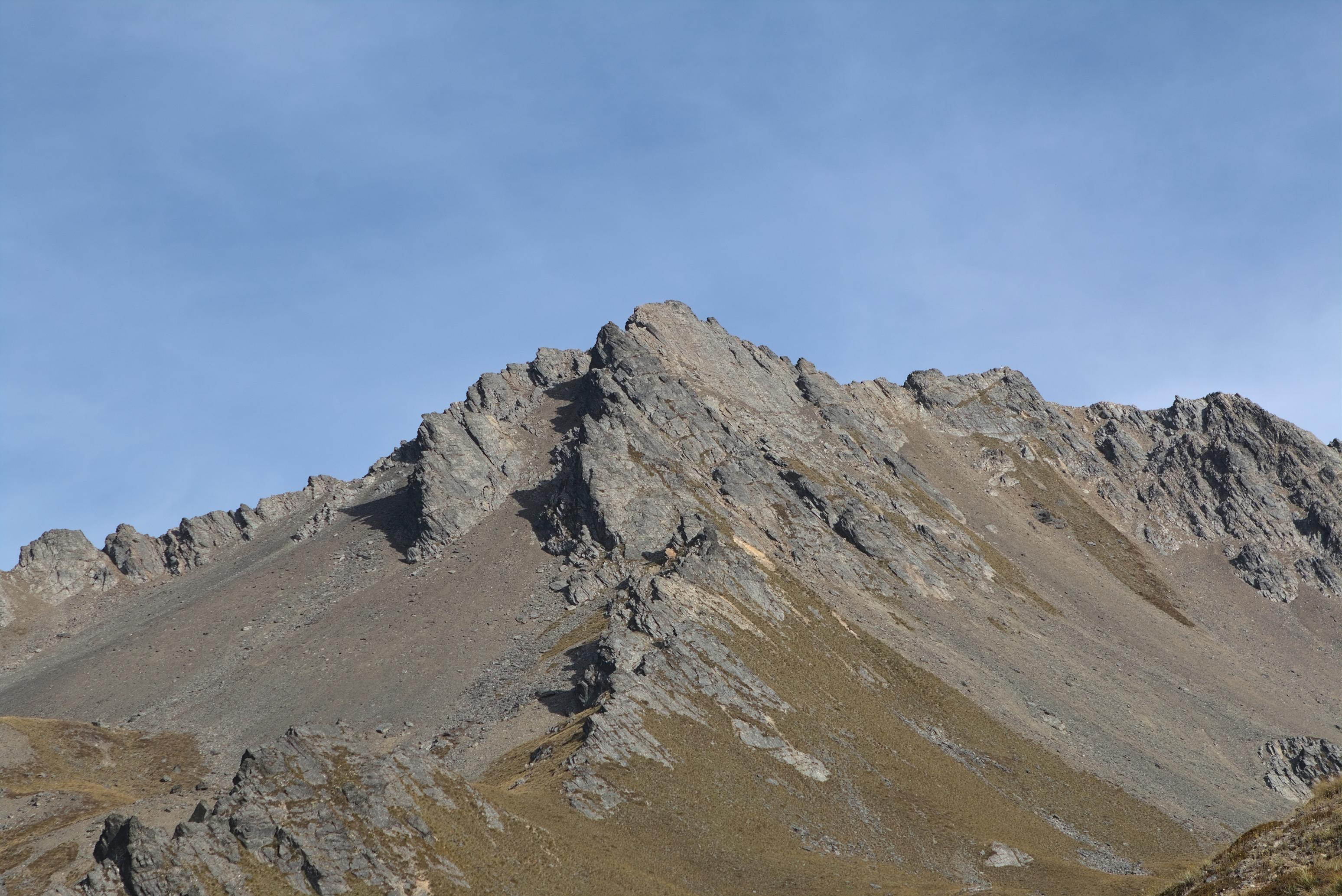
📷 Finn Le Sueur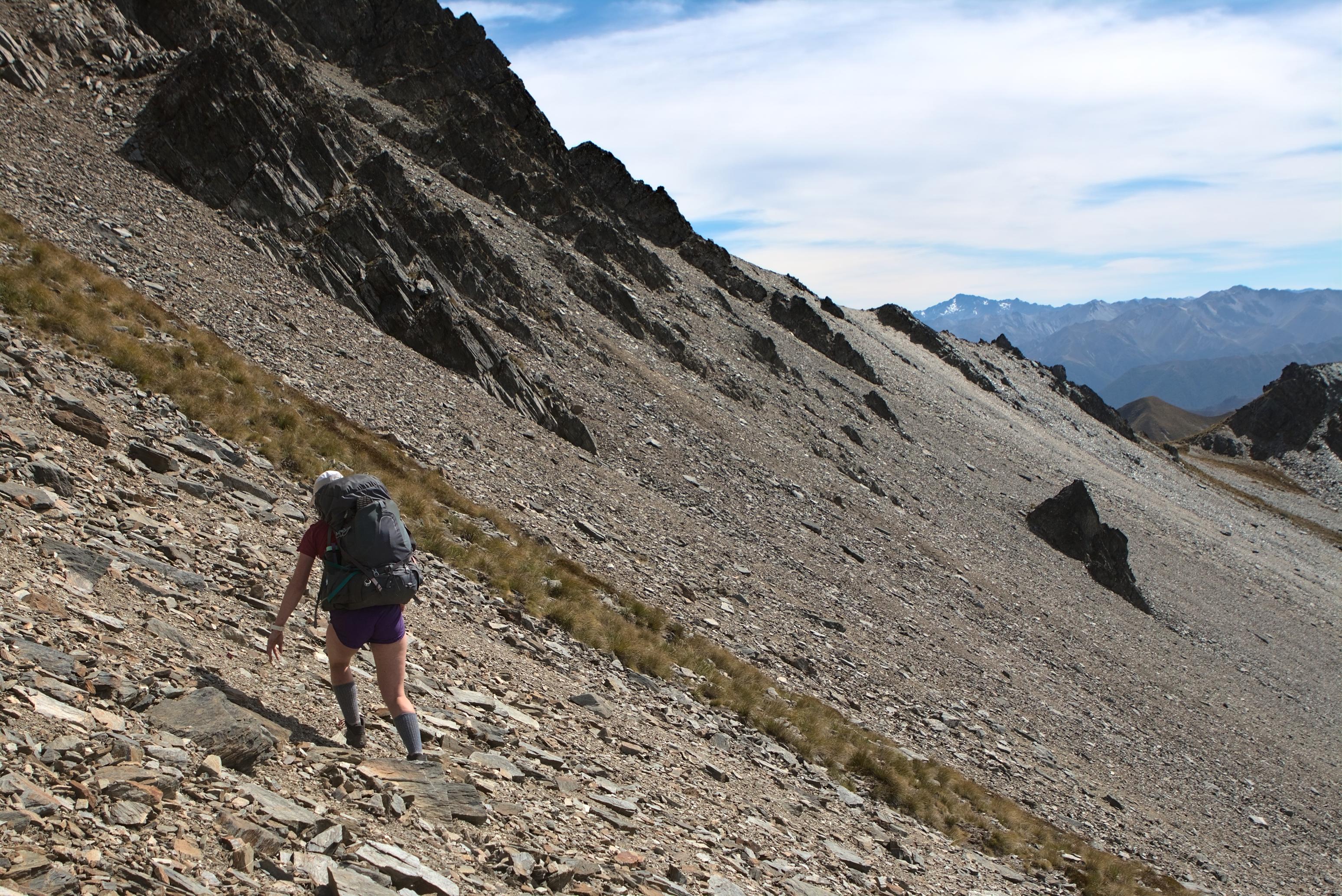
📷 Finn Le Sueur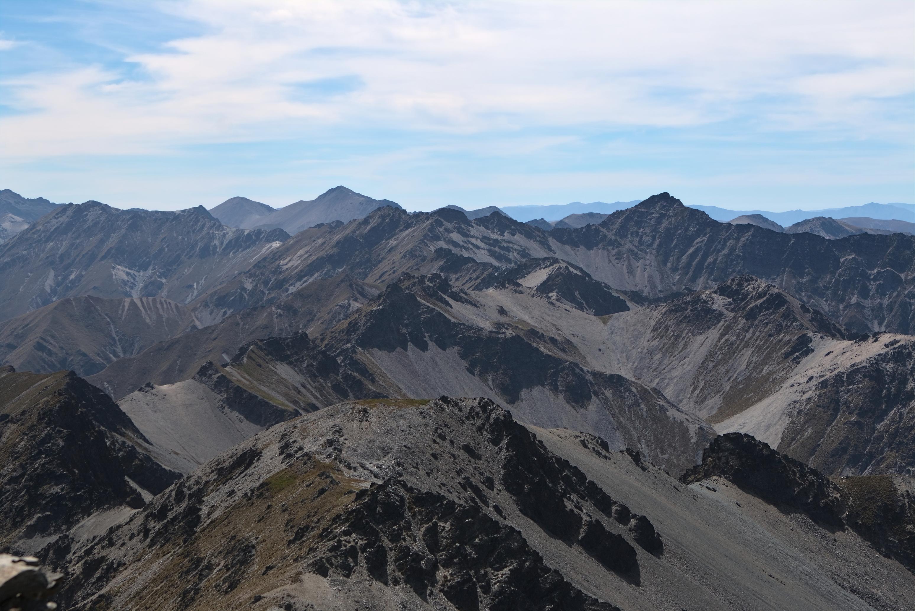
📷 Finn Le Sueur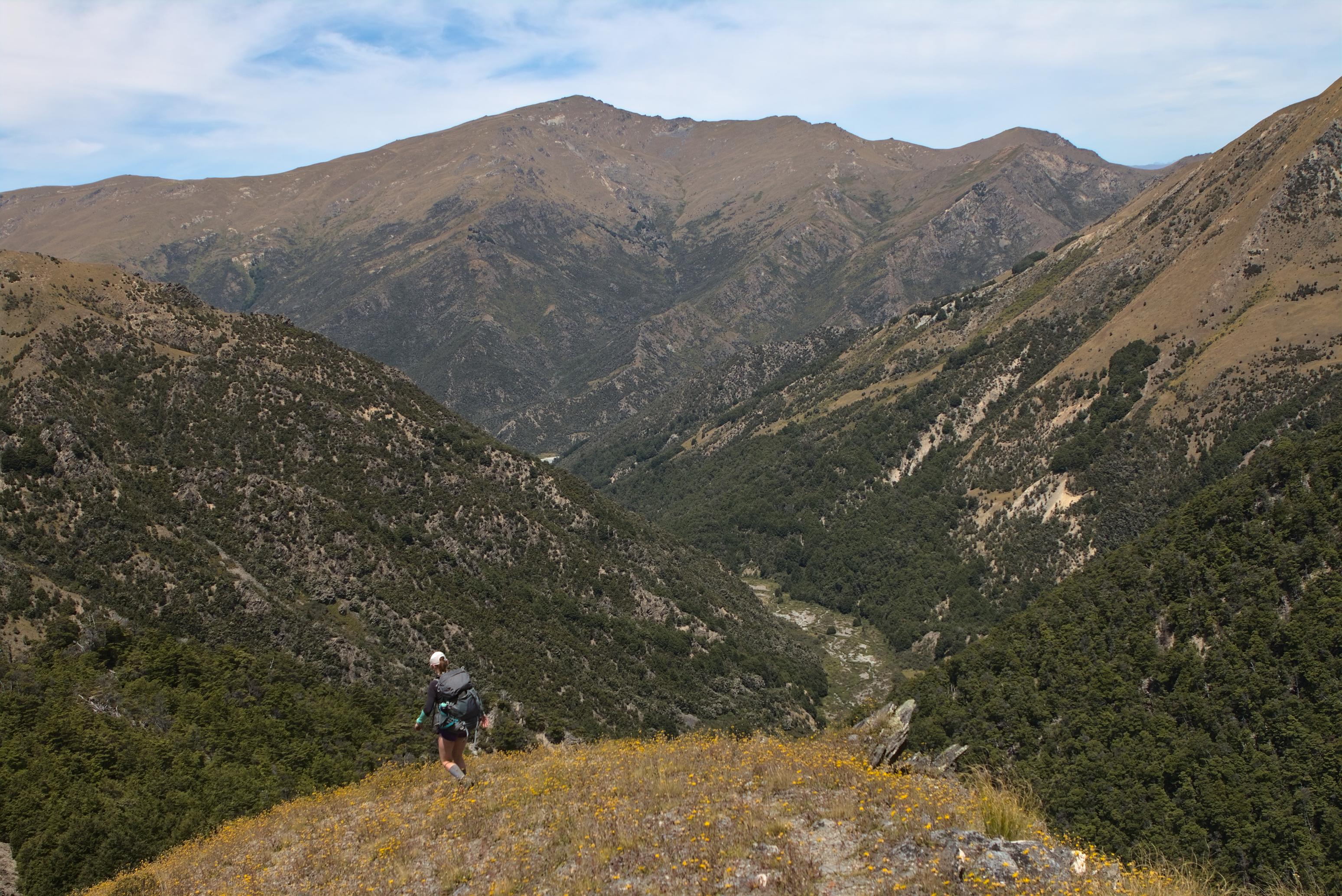
📷 Finn Le Sueur