Old Man-Slaty-Browning-Middy-Fell Circuit
Activity Date:
Updated:
People:
Finn,
Jen
| Sat Sep 27, 2025 Download GPX To Old Man Hut | 18.39km 8:13:31 | 2.24km/hr 1735m ⬆️, 895m ⬇️ |
| Sun Sep 28, 2025 Download GPX To Slaty Hut | 9.18km 3:49:49 | 2.40km/hr 903m ⬆️, 622m ⬇️ |
| Mon Sep 29, 2025 Download GPX To Browning Hut | 16.16km 6:32:53 | 2.47km/hr 856m ⬆️, 1740m ⬇️ |
| Tue Sep 30, 2025 Download GPX To Middy Hut | 16.54km 5:40:14 | 2.92km/hr 913m ⬆️, 1216m ⬇️ |
| Wed Oct 1, 2025 Download GPX To Mt Fell Hut | 13.91km 6:45:03 | 2.06km/hr 1998m ⬆️, 890m ⬇️ |
| Fri Oct 3, 2025 Download GPX Out via Mt Richmond | 17.55km 7:22:26 | 2.38km/hr 942m ⬆️, 1914m ⬇️ |
| Total | 91.73km 38:23:56 | 2.39km/hr 7347m ⬆️, 7277m ⬇️ |
Comments Section
Day 0: Lake Chalice Hut
In the morning, I dropped Korra 🐕 at the kennels before we packed the car and headed north to Blenheim (and beyond!). The weather was looking dicey across much of the island, but the Richmond Ranges looked like they’d escape the worst of it. There might be some rain, but nothing like what was forecast for the West Coast and the divide.
Needing somewhere to stay for the night — and not minding a short side quest — we parked up a very long forestry road and walked the 2.5 km, 400 m descent to Lake Chalice Hut. The track is wide and well-formed, so it was quick going — only about 30 minutes to the hut.
We’d originally considered walking around the lake that evening, but when a bit of drizzle blew in, we opted for a short wander to the lake and then lit the fire in the hut instead.
🍴 Dahl with rice
🍫 Hot chocolate
📷: Finn Le Sueur
📷: Finn Le Sueur
📷: Finn Le Sueur
📷: Finn Le Sueur
📷: Finn Le Sueur
Day 1: To Old Man Hut
18.39km (1735m 🆙, 895m🔻) in 8hr 13min @ 2.24km/hr.
In the morning, we ate a quick breakfast and hiked back up the way we came in about 45 minutes. From there, we drove down to Jackson’s Creek picnic area, where we parked the car and began our main hike. Side quest: completed!
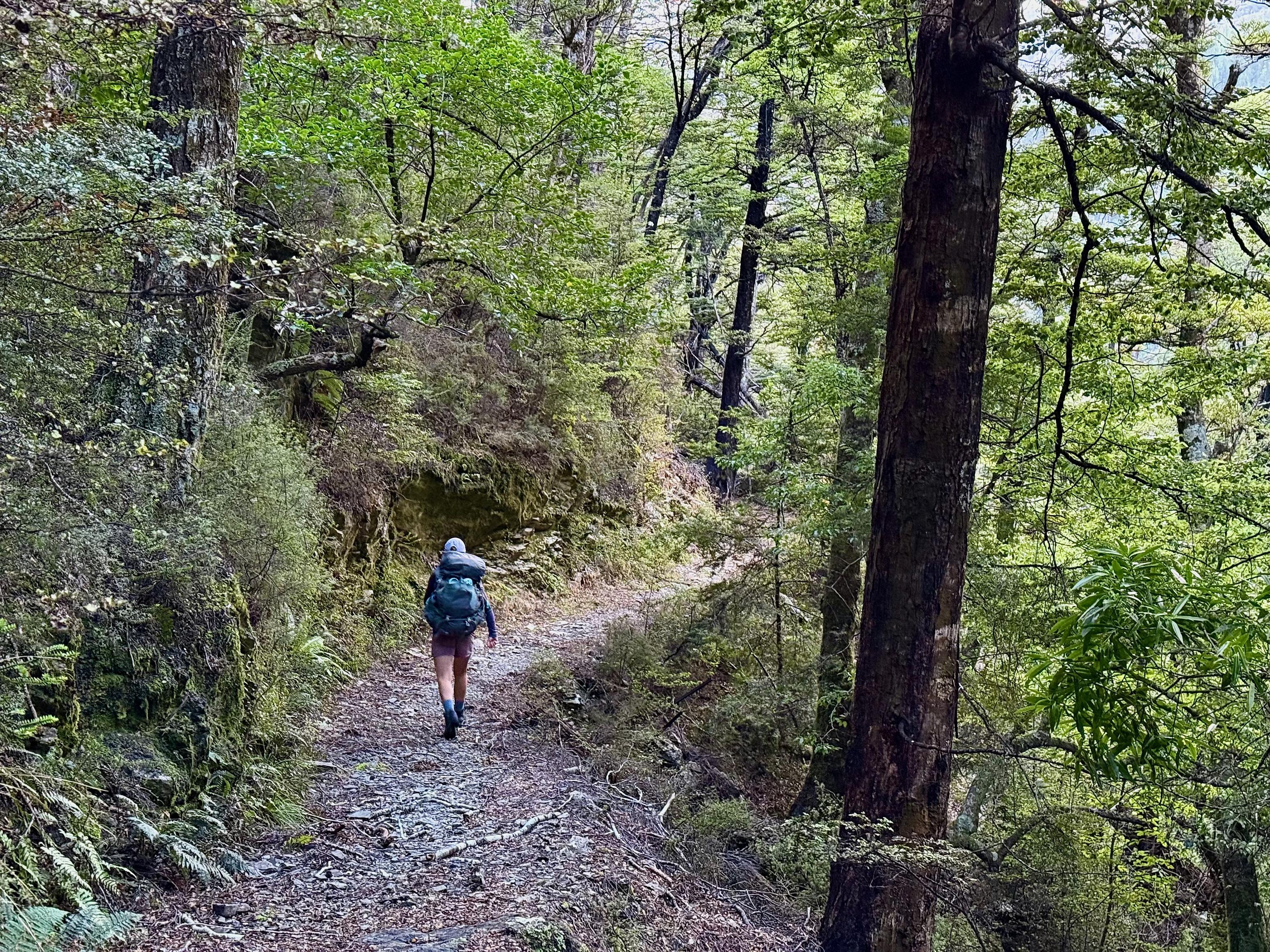
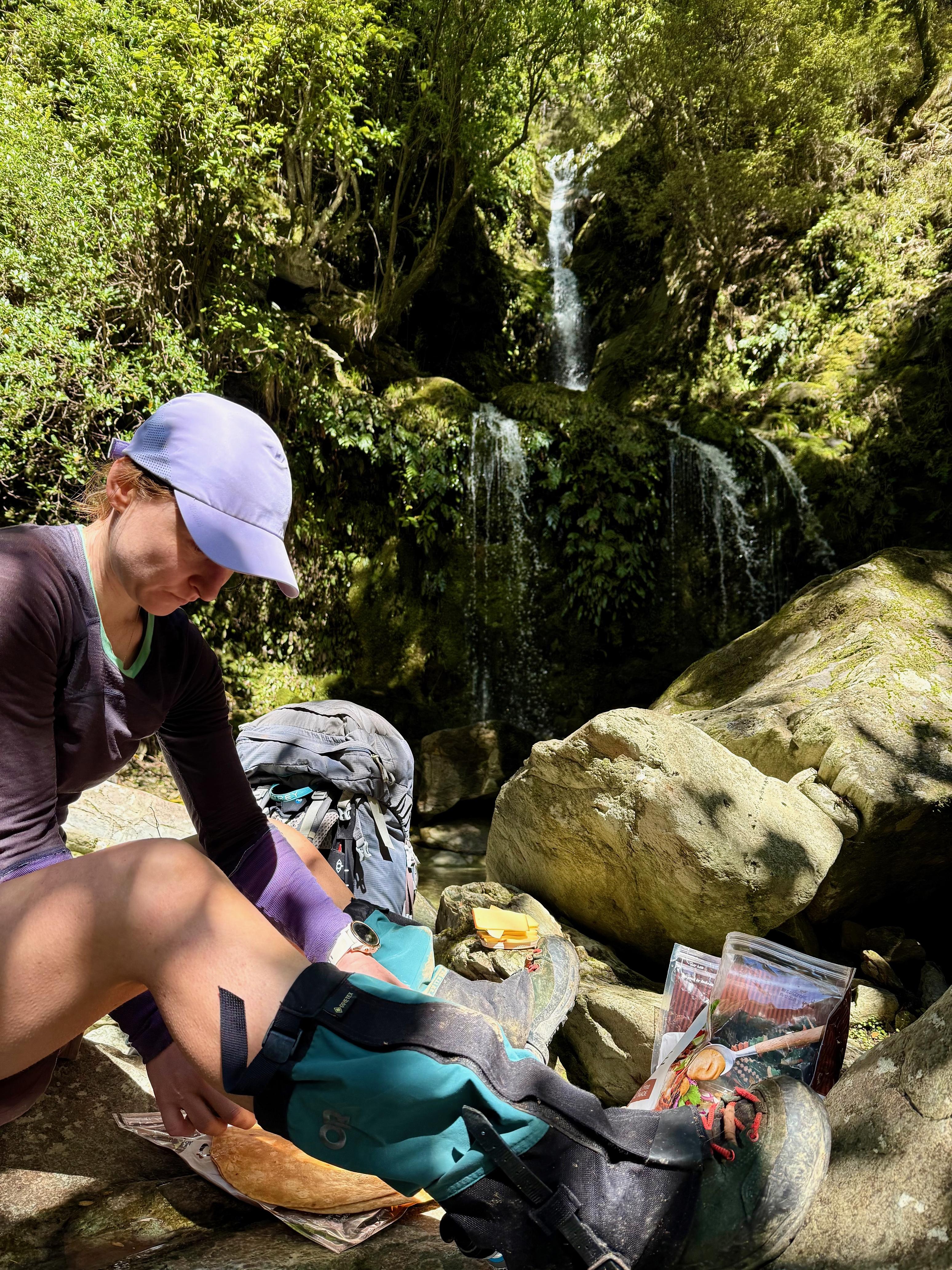
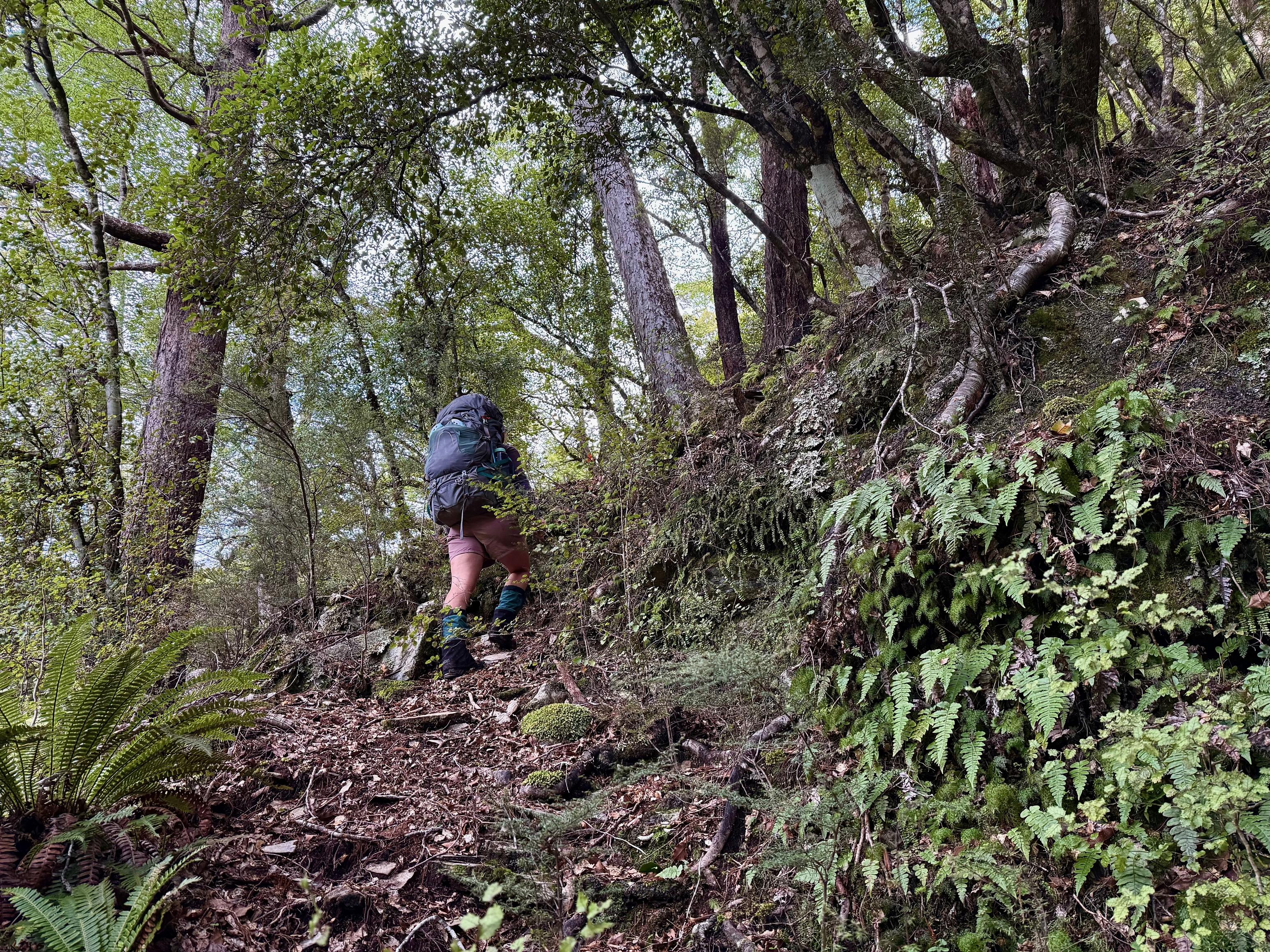
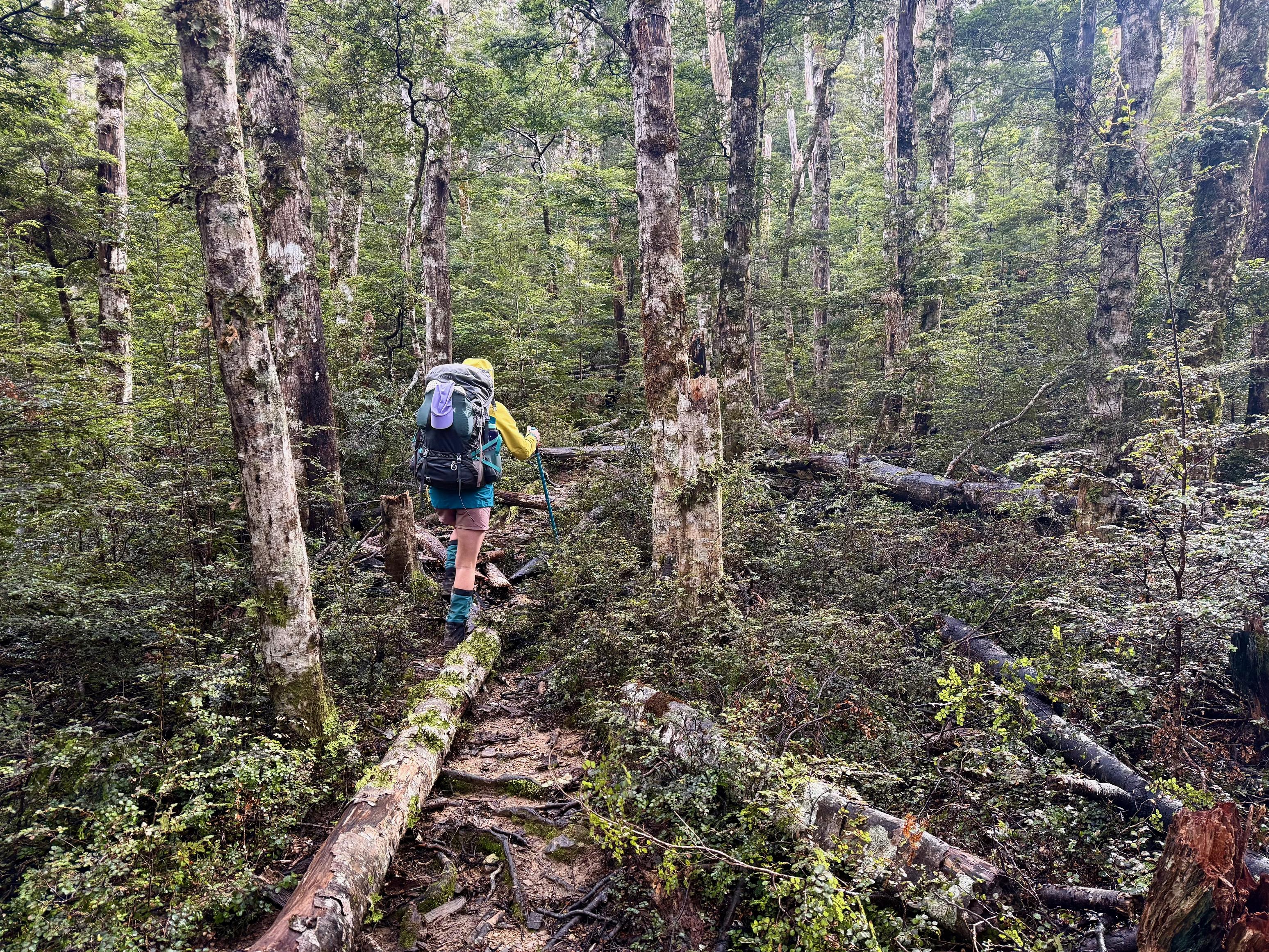
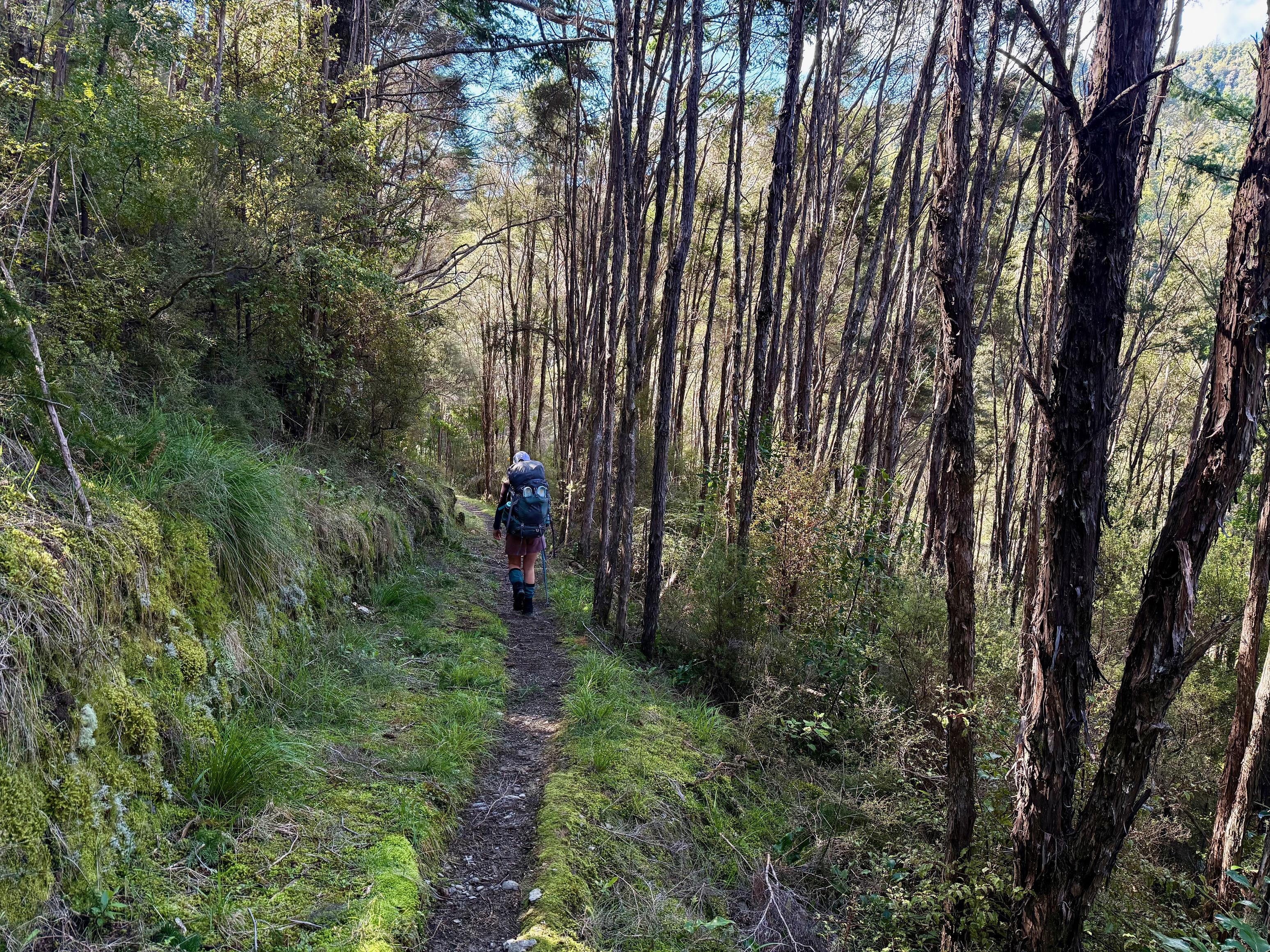
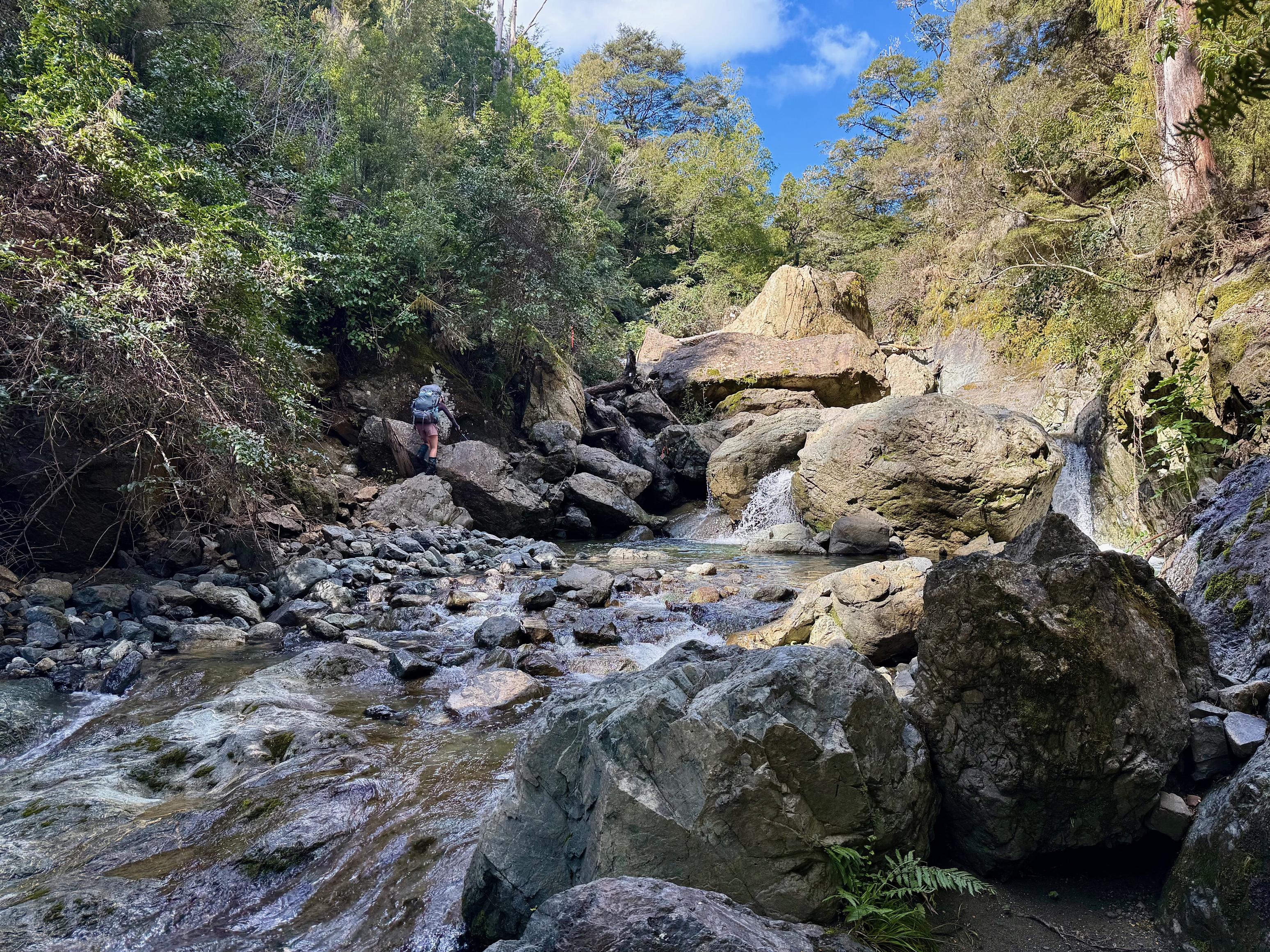
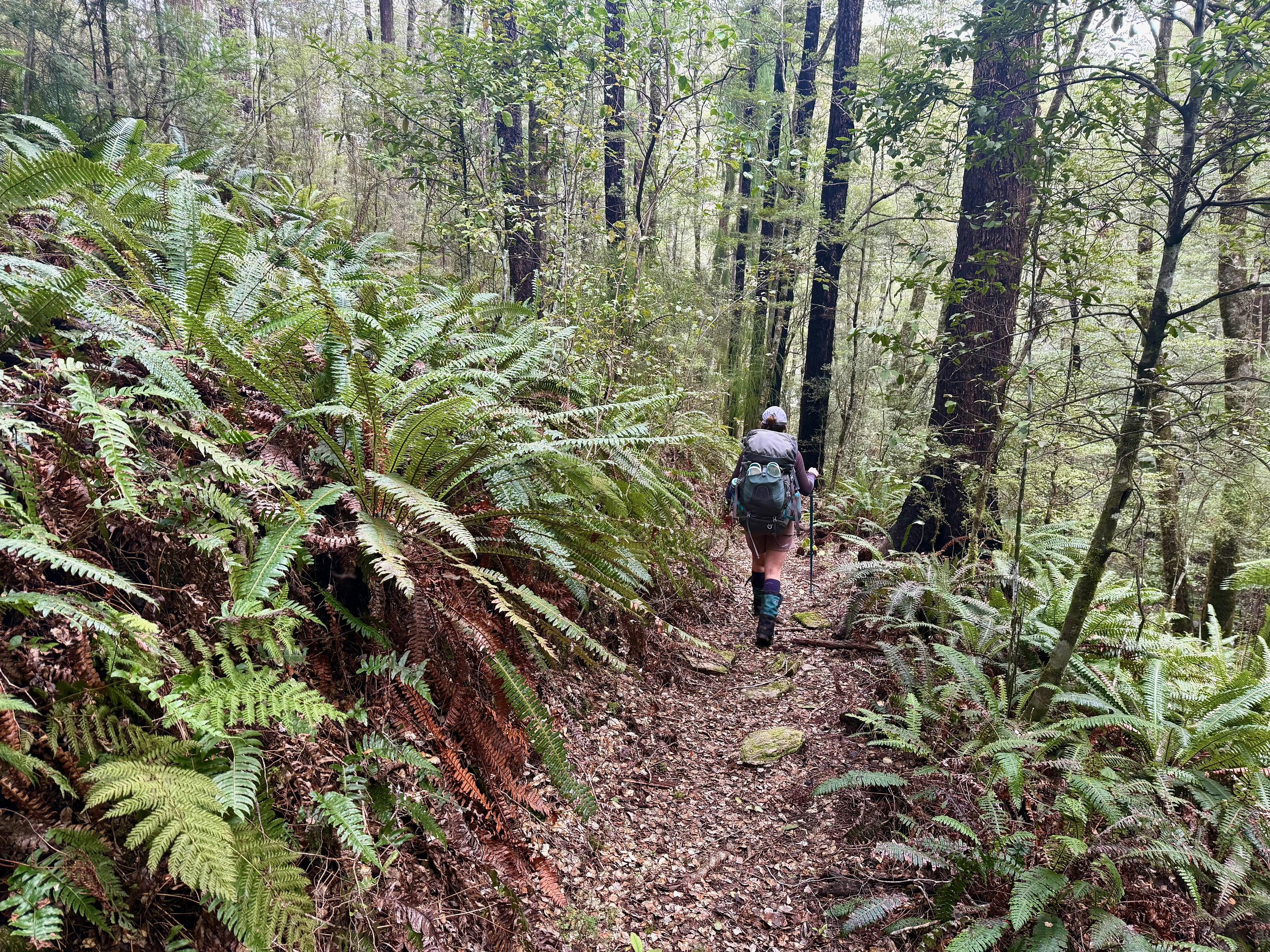
From the picnic area, the track is very relaxed, however, our packs were anything but. We were carrying seven days’ worth of food (with some extra, just in case), along with heavier winter clothes and sleeping bags. About an hour in, we reached the so-called “Forks Route” junction. From there, the track continues fairly reasonably, climbing in and out of creeks and skirting around a slip. We stopped for lunch at a lovely waterfall just over a kilometre from the base of the main climb.
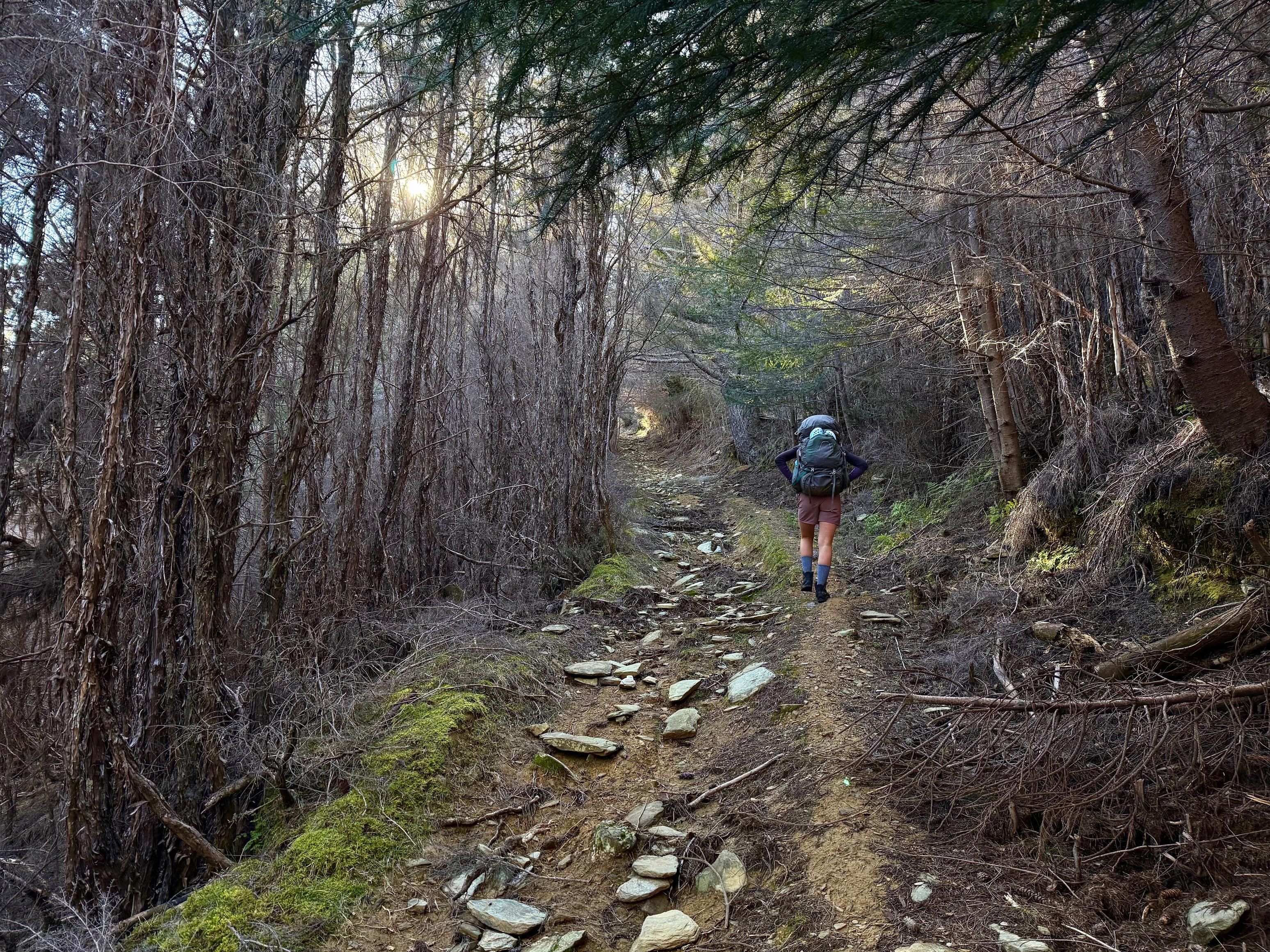
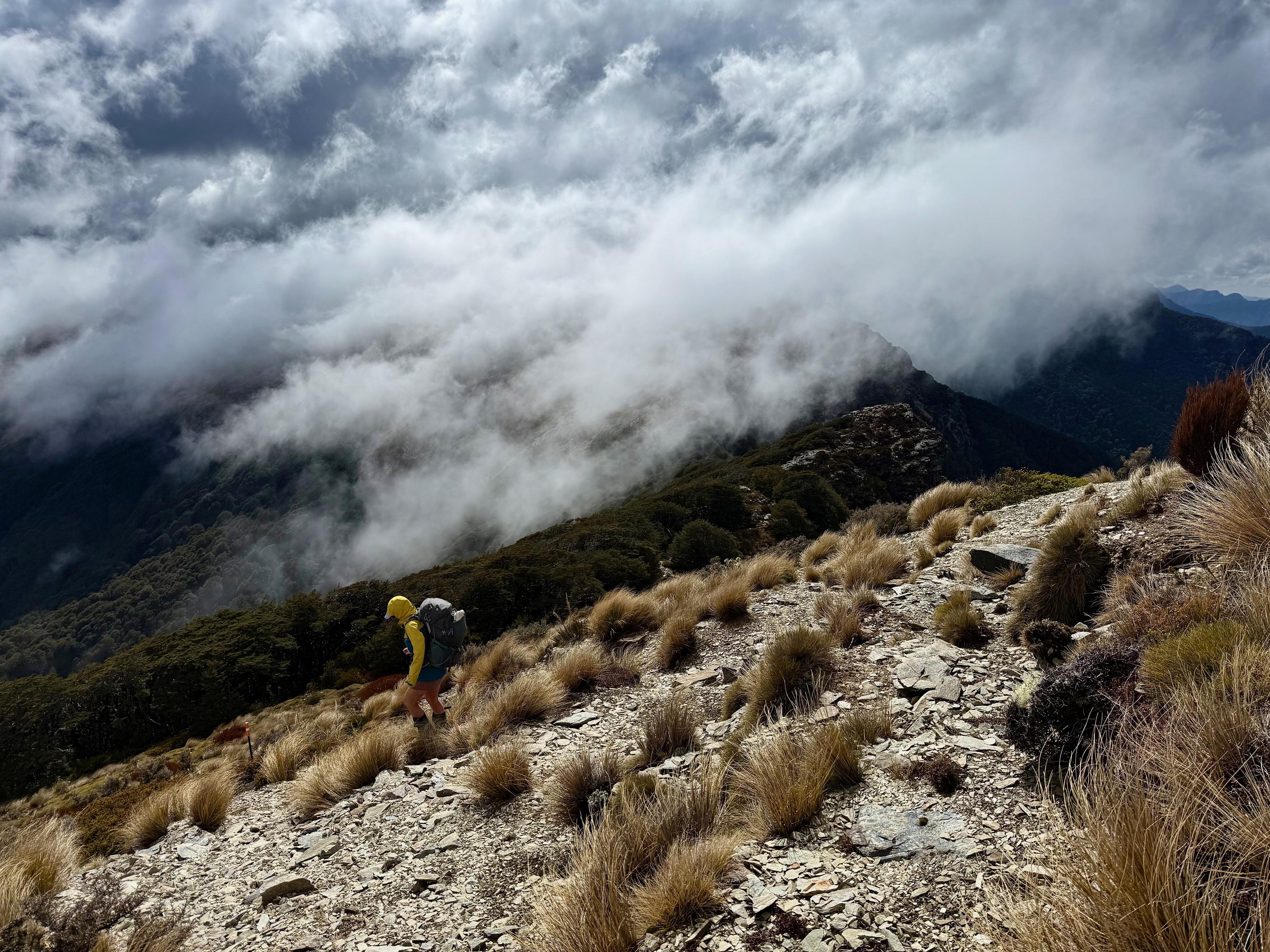
The climb itself is unrelenting and steep — made tougher by our unaccustomed pack weight. Still, we kept plodding on, and things eased up a bit after Point 1056, although there were still some sharp pinches where the gradient kicked up again. The track isn’t particularly well-formed, but it’s very well marked, with plenty of orange triangles to follow.
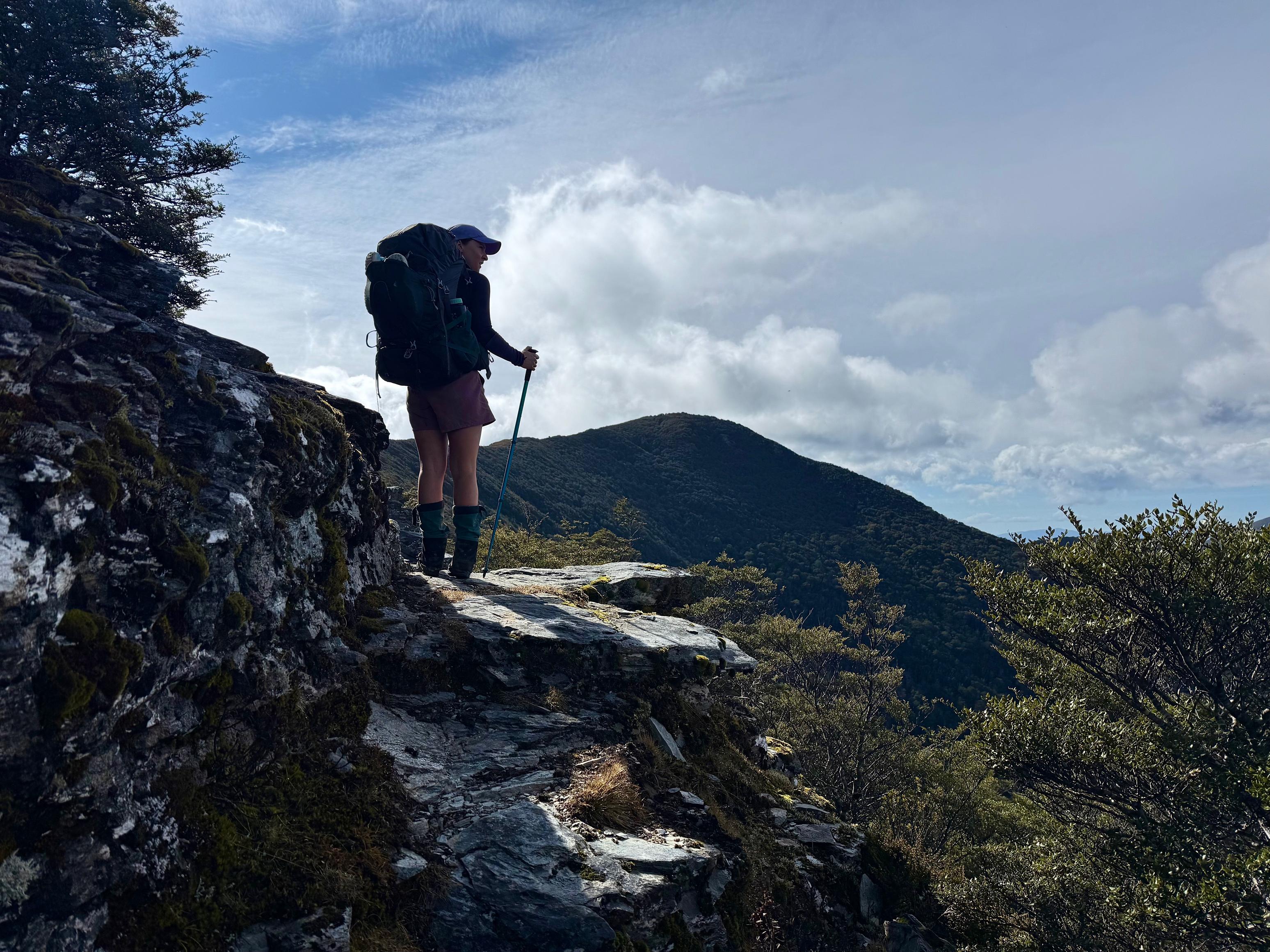
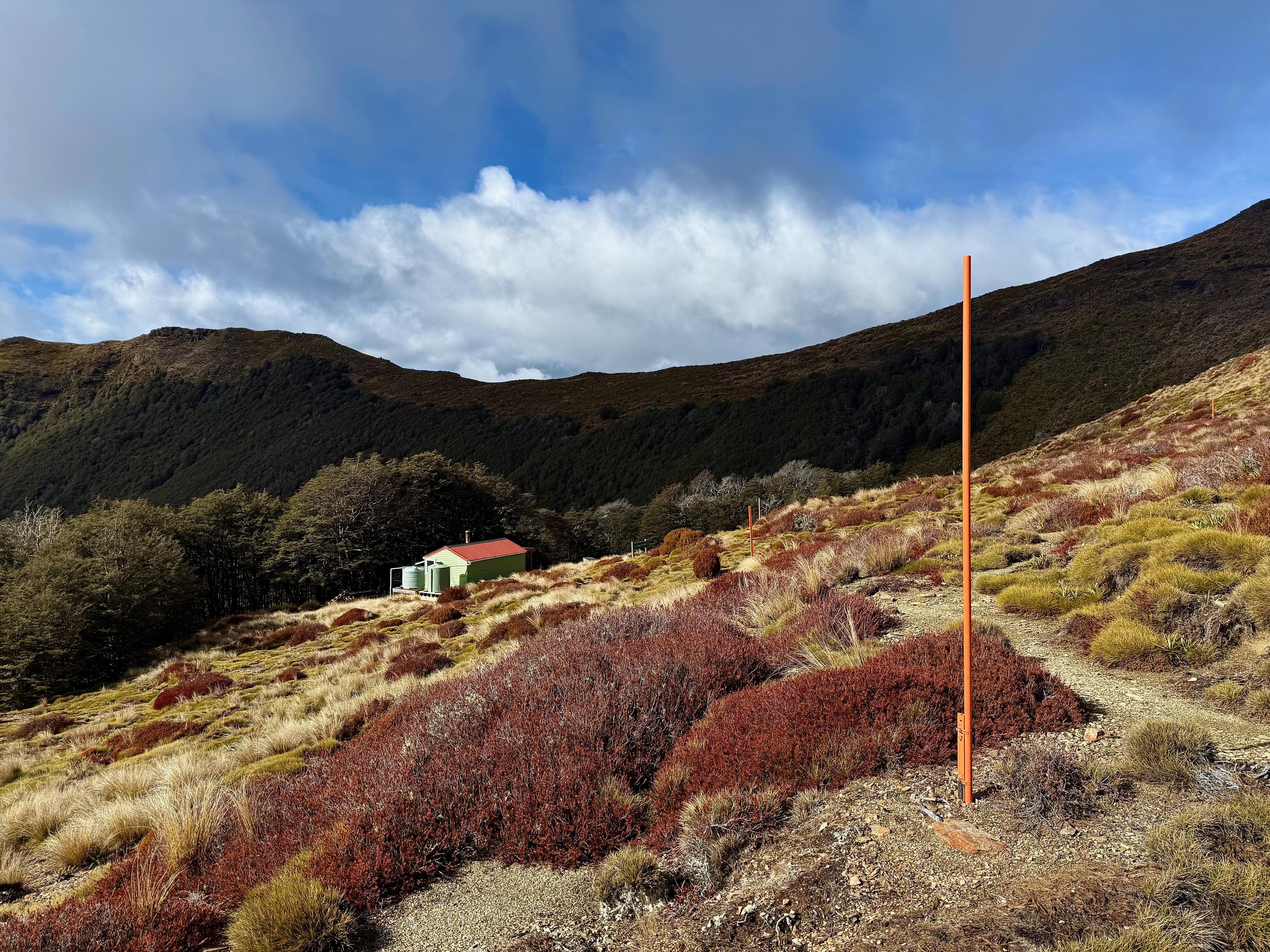
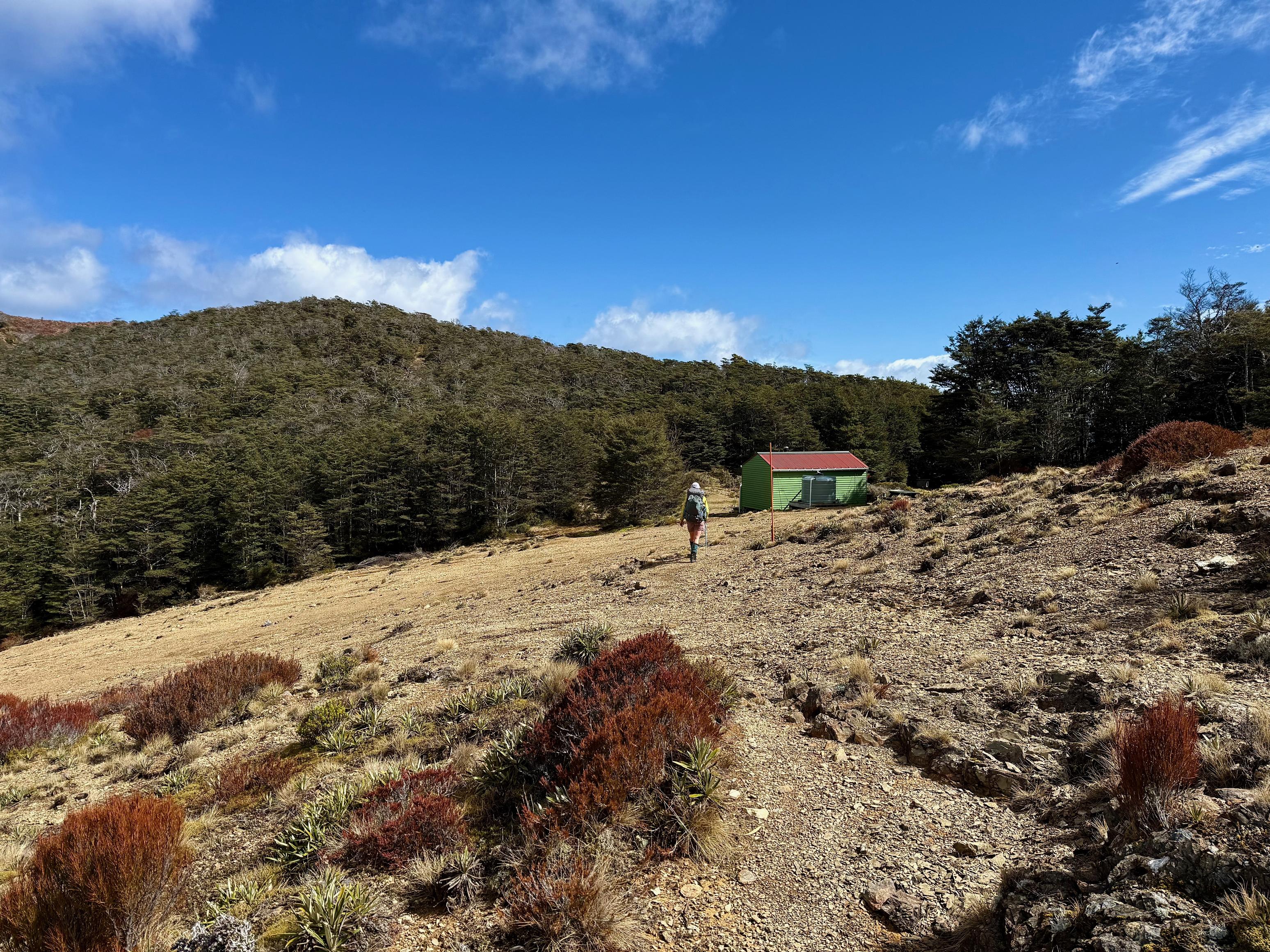
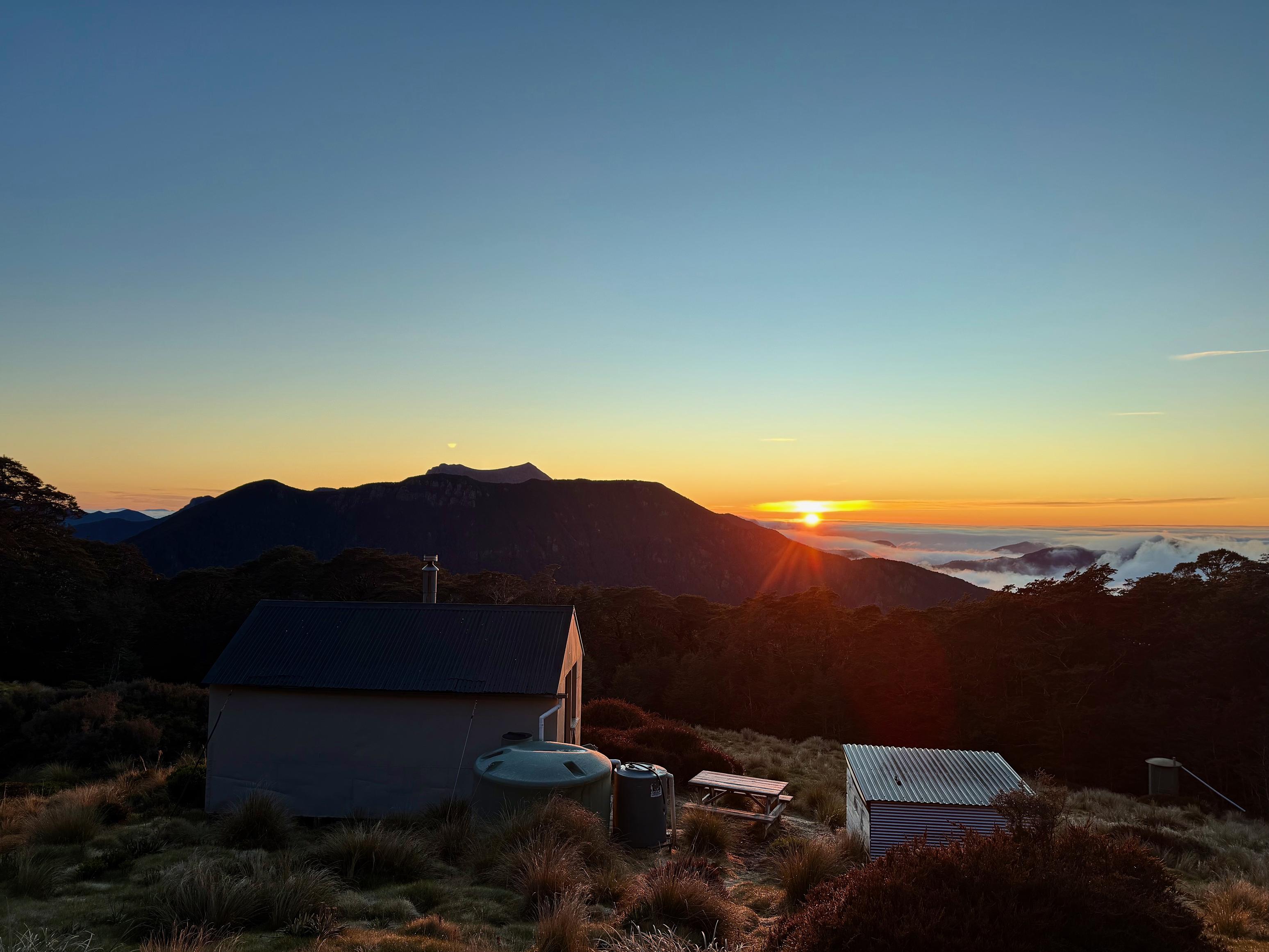
Once you reach the saddle on the ridgeline between Old Man and Point 1522, the track becomes much more defined — a trend that continues all the way to Old Man. There’s even a water barrel near the summit, which would be ideal during the hotter, drier months.
For us, it was now raining (or maybe we were just in the cloud — it was hard to tell in the wind). We didn’t linger at the summit, quickly heading across to Old Man Hut. The track here is well formed, though there are a few short uphills and a couple of small, partially exposed rock scrambles — probably not much fun if it were snowy!
We found the hut empty — a trend that would continue for the rest of the trip. We quickly lit the fire, changed into dry clothes, scoffed down a pile of food, and climbed into bed. It had been a big first day.
☕️ Muesli & coffee
🥜 Nut bar x2
🌮 Hummus, cheese & salad wrap
🍴 Moroccan couscous with vege mix-ins
🍫 Hot chocolate & some chocolate
📷: Finn Le Sueur
📷: Finn Le Sueur
📷: Finn Le Sueur
📷: Finn Le Sueur
📷: Finn Le Sueur
📷: Finn Le Sueur
📷: Finn Le Sueur
Day 2: To Slaty Hut
9.18km (903m 🆙, 622m🔻) in 3hr 49min @ 2.40km/hr.
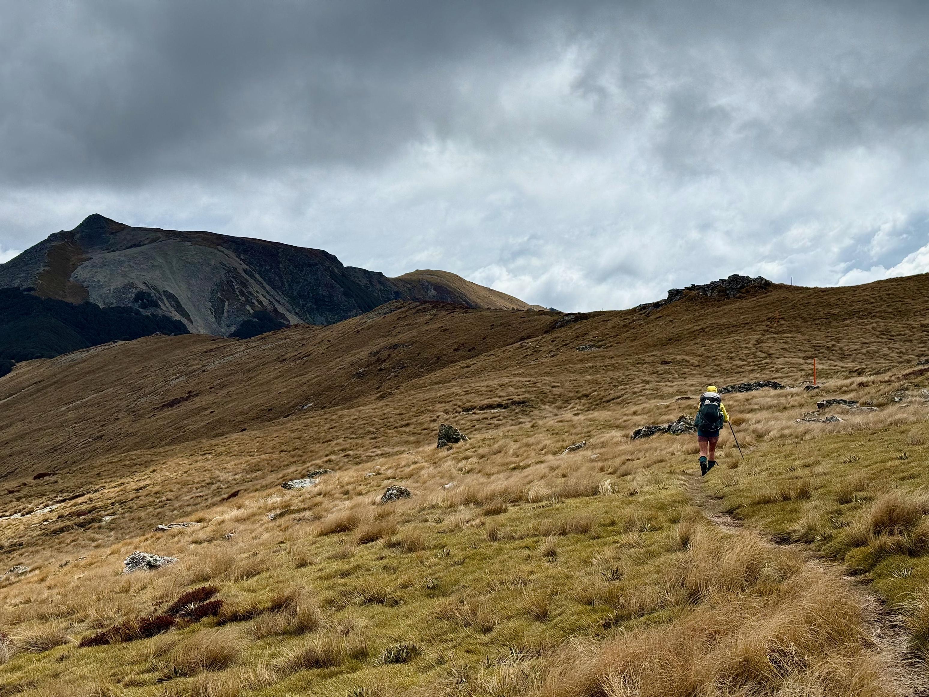
It was a grey day when we woke, but at least it wasn’t actively raining — always a bonus. We tidied the hut (of course) and headed back up the steep, rooty access trail to rejoin the Alpine Route. At the top, we were back in the wind, so we threw on our jackets and powered along the ridge past Old Man, continuing on toward Slaty Hut.
There’s a sharp, scree-covered descent off Old Man into a nicely forested saddle, followed by the very pleasant Ada Flats. From there, we looked east and spotted the untracked ridgeline I had originally planned for us to take from Mt Richmond to Ada Flats. We were glad not to be doing that this trip. Maybe another time — with smaller packs. In summer.
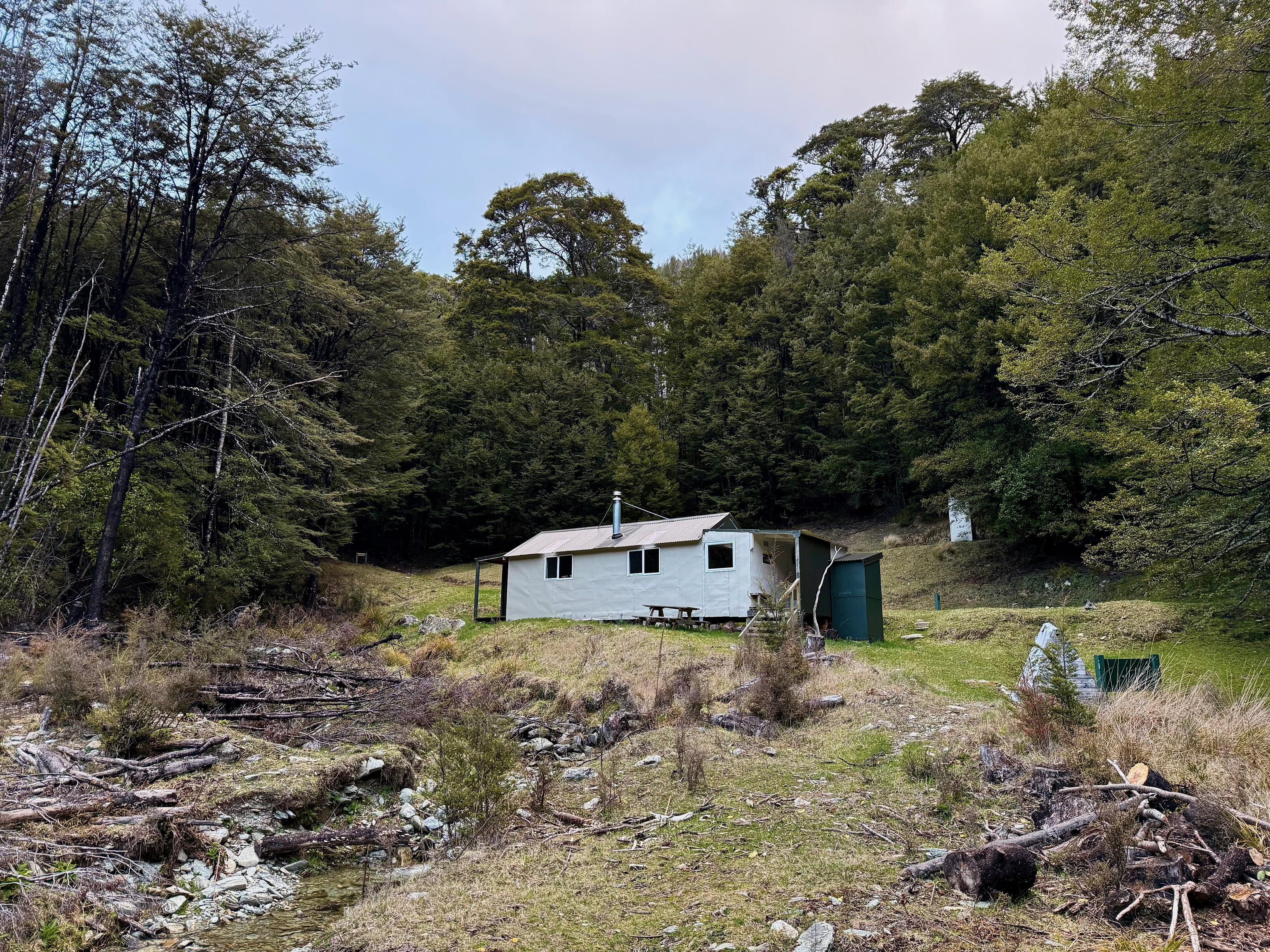
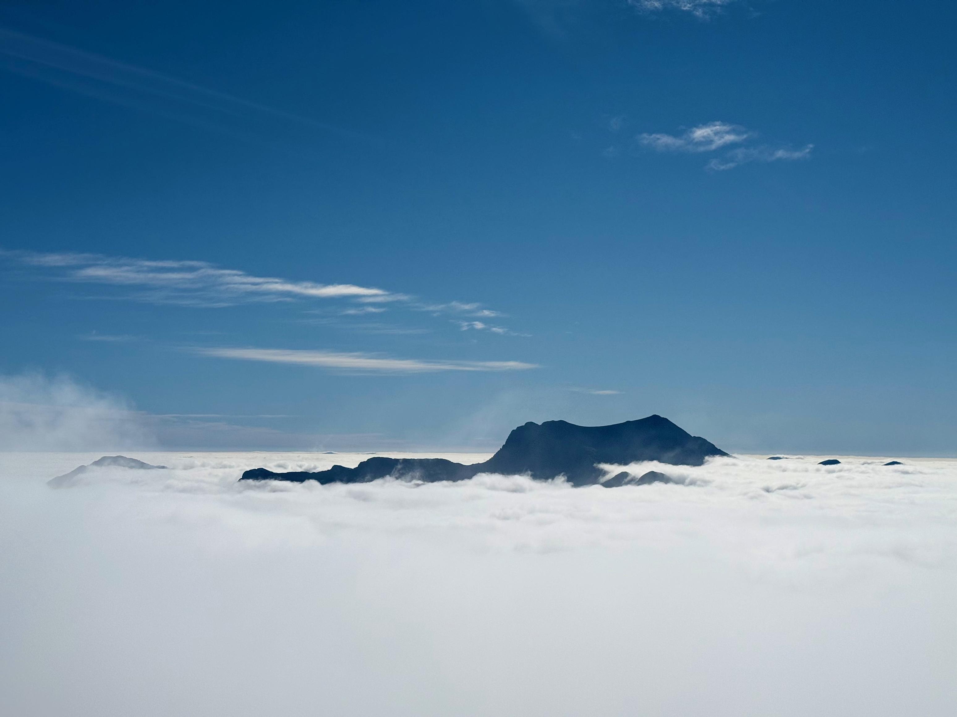
From Ada Flats, there’s one final climb before the track sidles below Slaty Peak and to the hut, which, by the way, is absolutely adorable. During a short break in the weather, we caught a glimpse of Mt Rintoul to the southwest and were reminded of a previous trip, when we were also stuck in the cloud and missed out on the promised stunning views. Alas.
The hut is in great condition and has a large woodshed — although it looked like some animal had been sleeping in amongst the sticks. We spent an hour or so collecting and cutting wood before heading inside to read our books. It was a very windy night, and more rain came through than we were expecting, so I decided to try to get a weather forecast the next day.
☕️ Muesli & coffee
🥜 Nut bar & some lollies
🌮 Hummus, cheese & salad wrap
🍴 Orzo bologanse
🍫 Hot drinks & chocolate
📷: Finn Le Sueur
📷: Finn Le Sueur
📷: Finn Le Sueur
📷: Finn Le Sueur
📷: Finn Le Sueur
📷: Finn Le Sueur
📷: Finn Le Sueur
📷: Finn Le Sueur
Day 3: To Browning Hut
16.16km (856m 🆙, 1740m🔻) in 6hr 32min @ 2.47km/hr.
We headed off in good spirits, knowing there wouldn’t be quite as much uphill today. Thank goodness! If we had realised how our quads would feel after more than 1100m of descent, we might have felt differently.
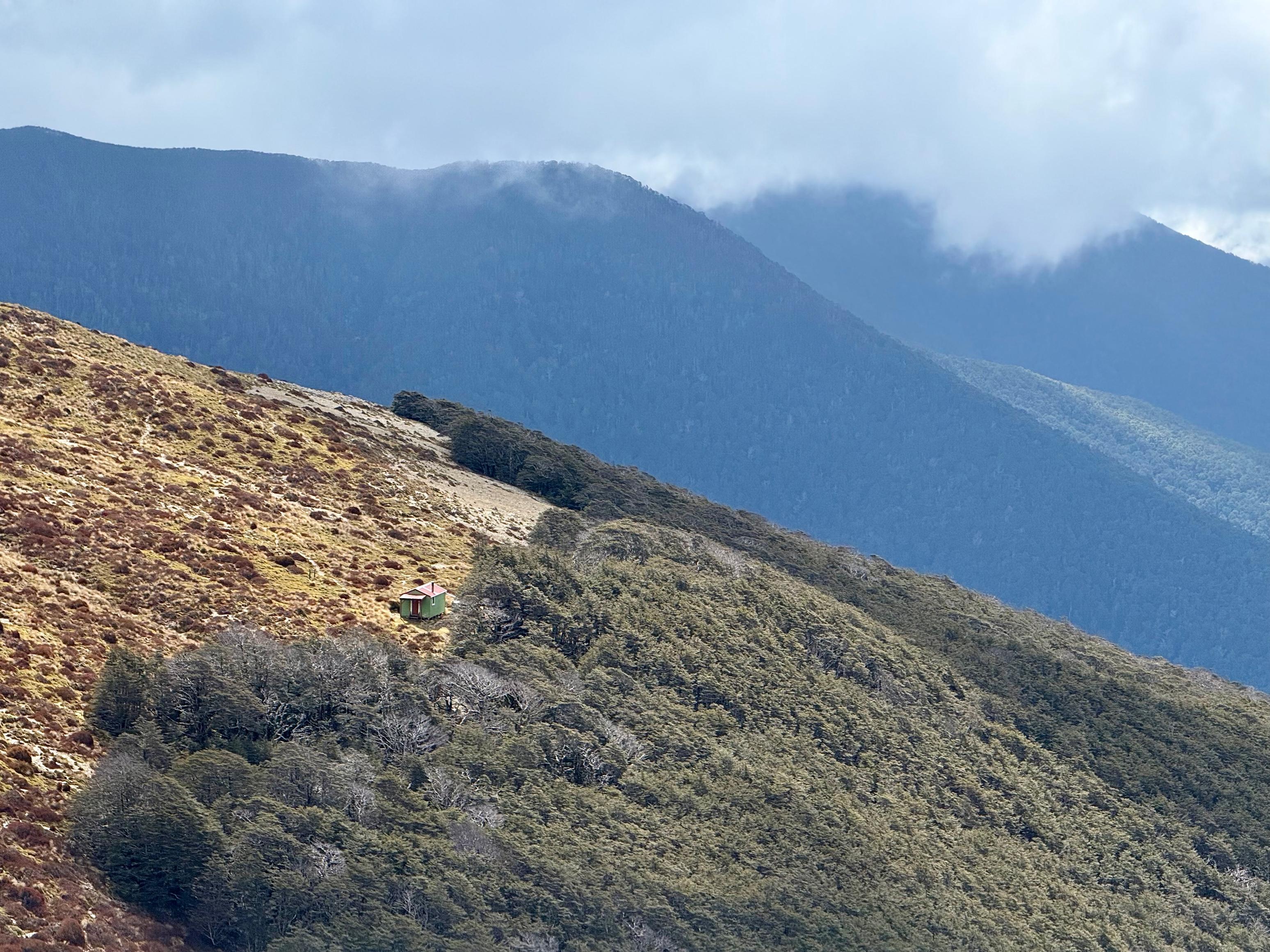
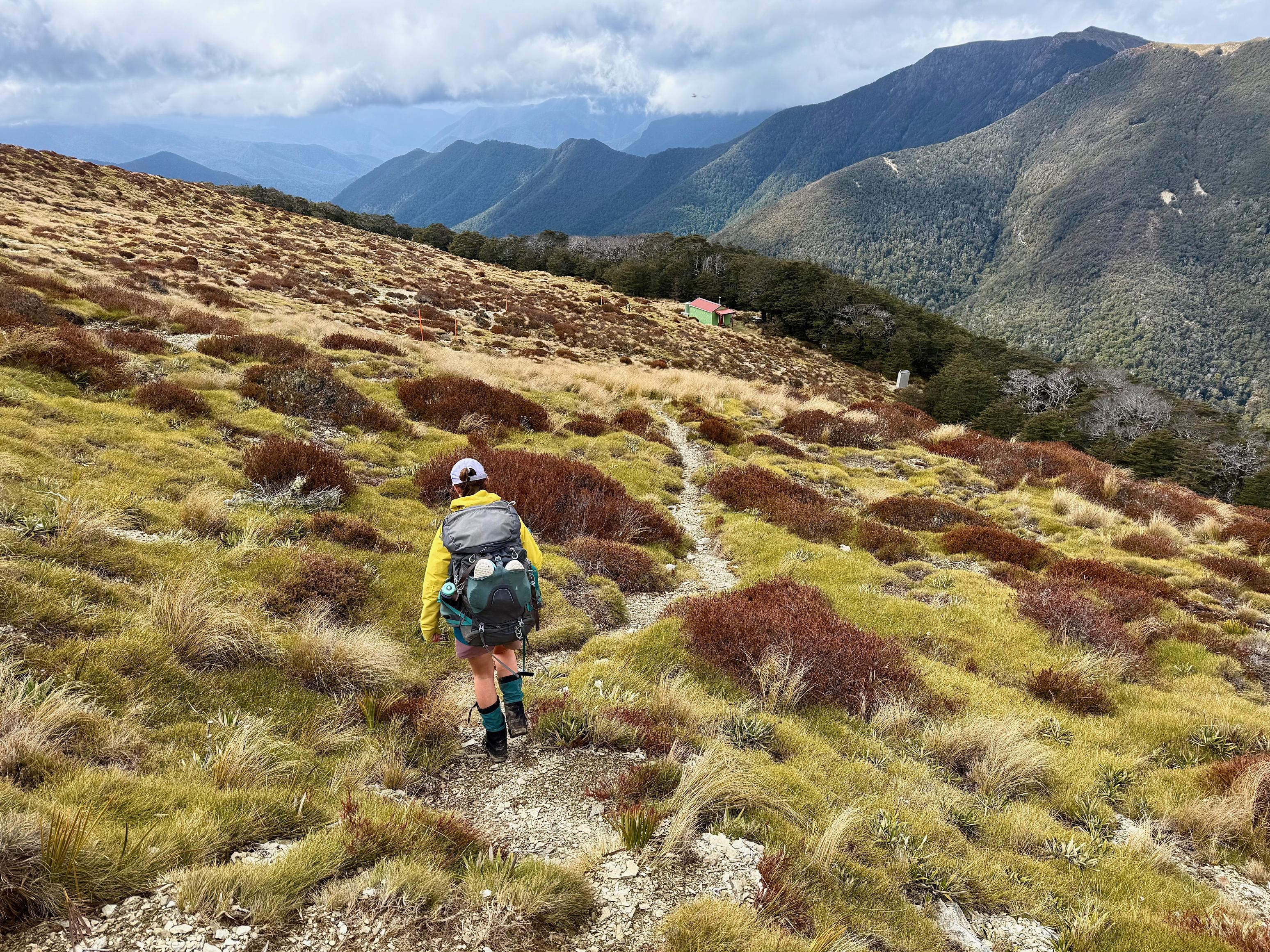
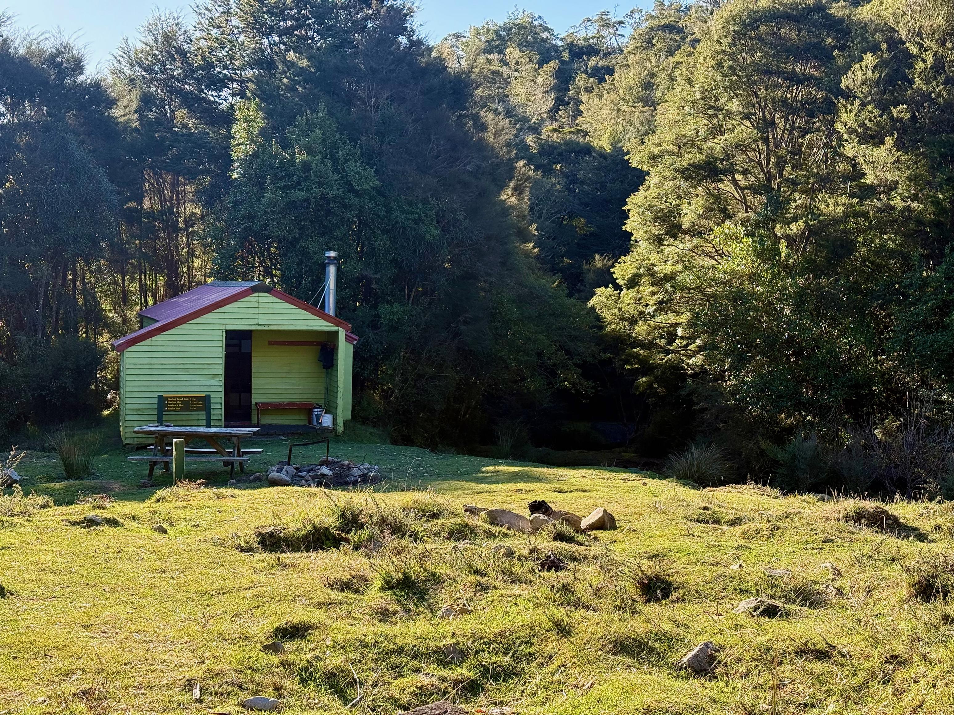
I got a quick forecast update when we popped into reception on the north side of Slaty Peak before powering on. We found great resistance to our speed in the form of a blustery headwind, which made it hard to stand or walk in a straight line at times when crossing by Mt Starveall. We were pleased to greet Starveall Hut, which was a tad more sheltered. We discussed the weather forecast and decided we would push on to Browning Hut, 1.25 hours past Hacket Hut (our original destination). This would, we reasoned, allow us to skip Rocks Hut and go straight to Middy Hut, thus gaining us a day.
The descent from Starveall to Hacket Creek is steeper than it looks on topo, and is quite unrelenting. Nothing emphasised this more than the man we passed, who was heading uphill and said it felt “endless”. Sorry, mate, you’ve still got a couple of hours to go.
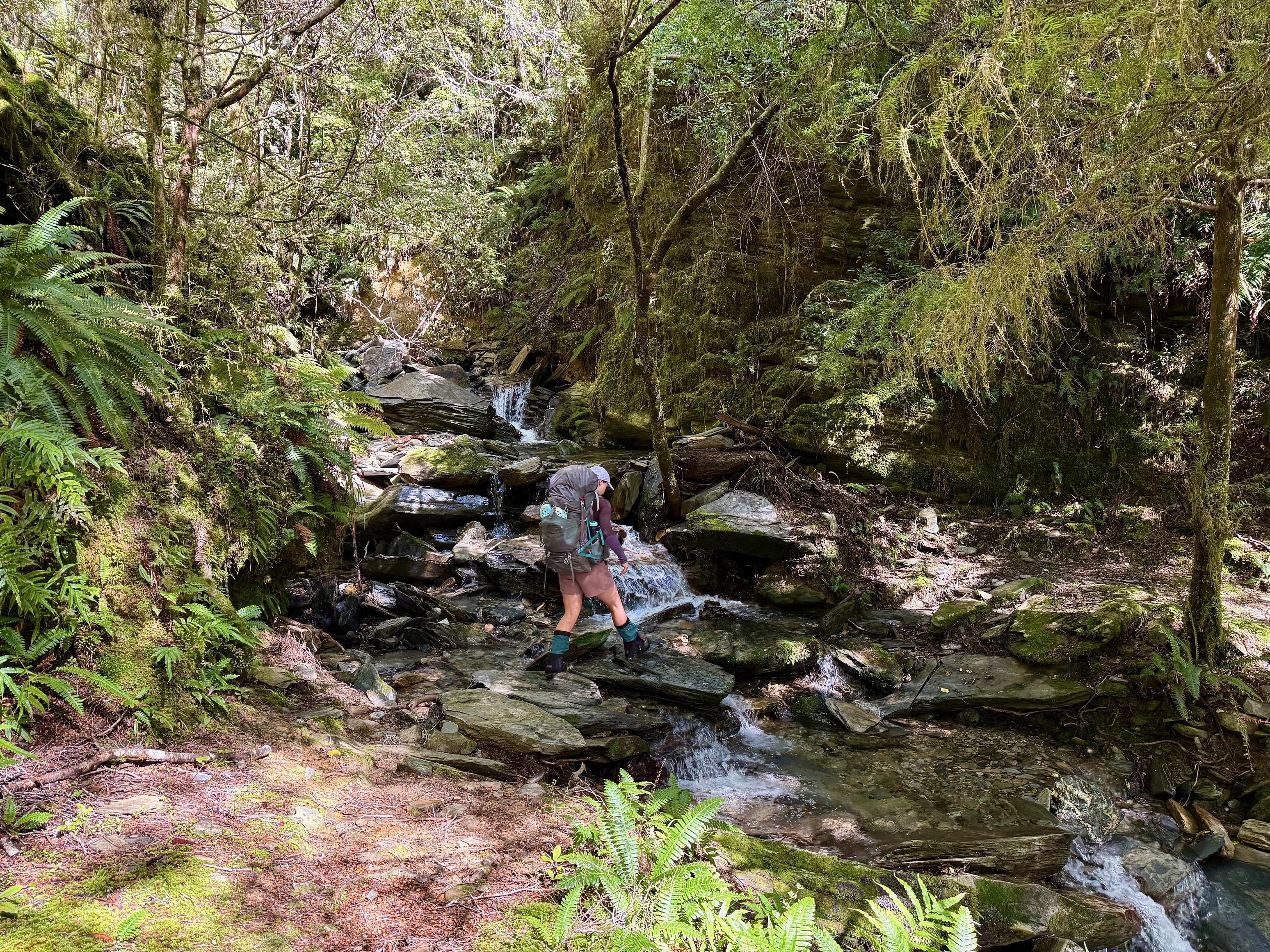
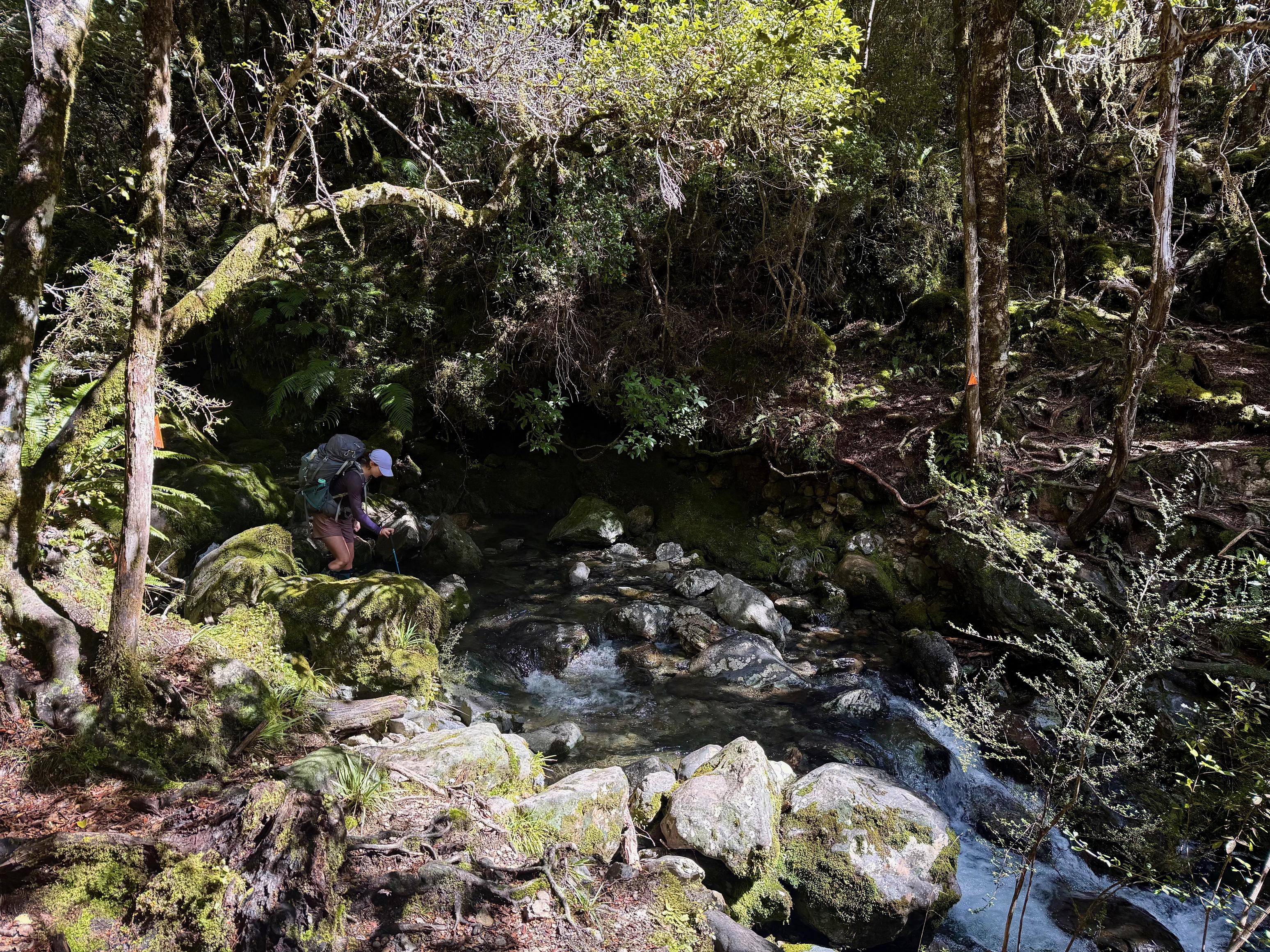
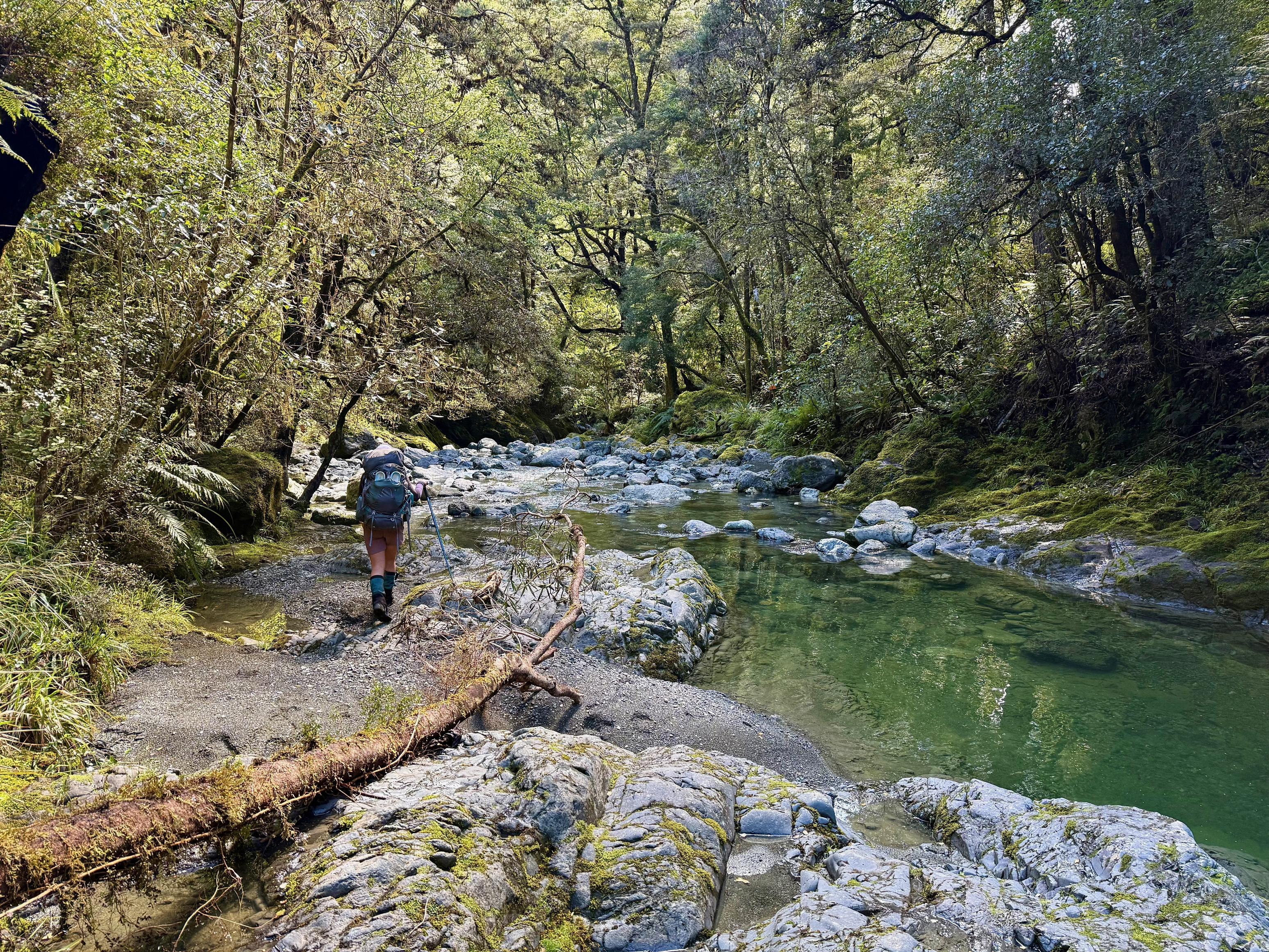
We travelled along Hacket Creek for some time, crossing frequently and doing our best to not slip on the lichen-covered rocks. We were both feeling a bit sore and grouchy, so we were more than pleased to reach Hacket Hut, situated on a nice big clearing in the sun. Delightful.
From there, we reached Browning Hut in about an hour. The track is well-formed, and the low river route is certainly passable, despite the graffiti on the DOC sign. The last kilometre climbs steadily up a 4WD-width track before reaching the hut.
We had plenty of afternoon left, so foraged and chopped a lot of wood with an excellent hand-saw (not something you can often say about tramping hut saws). The hut itself lost the sun fairly early due to the tree, but we sat on the woodshed edge and read our books in the sun until it was time for dinner.
☕️ Muesli & coffee
🥜 2x nut bars & lollies
🌮 Hummus & cheese wrap
🍴 Taco rice
🍫 Hot drinks & chocolate
📷: Finn Le Sueur
📷: Finn Le Sueur
📷: Finn Le Sueur
📷: Finn Le Sueur
📷: Finn Le Sueur
📷: Finn Le Sueur
📷: Finn Le Sueur
📷: Finn Le Sueur
📷: Finn Le Sueur
📷: Finn Le Sueur
📷: Finn Le Sueur
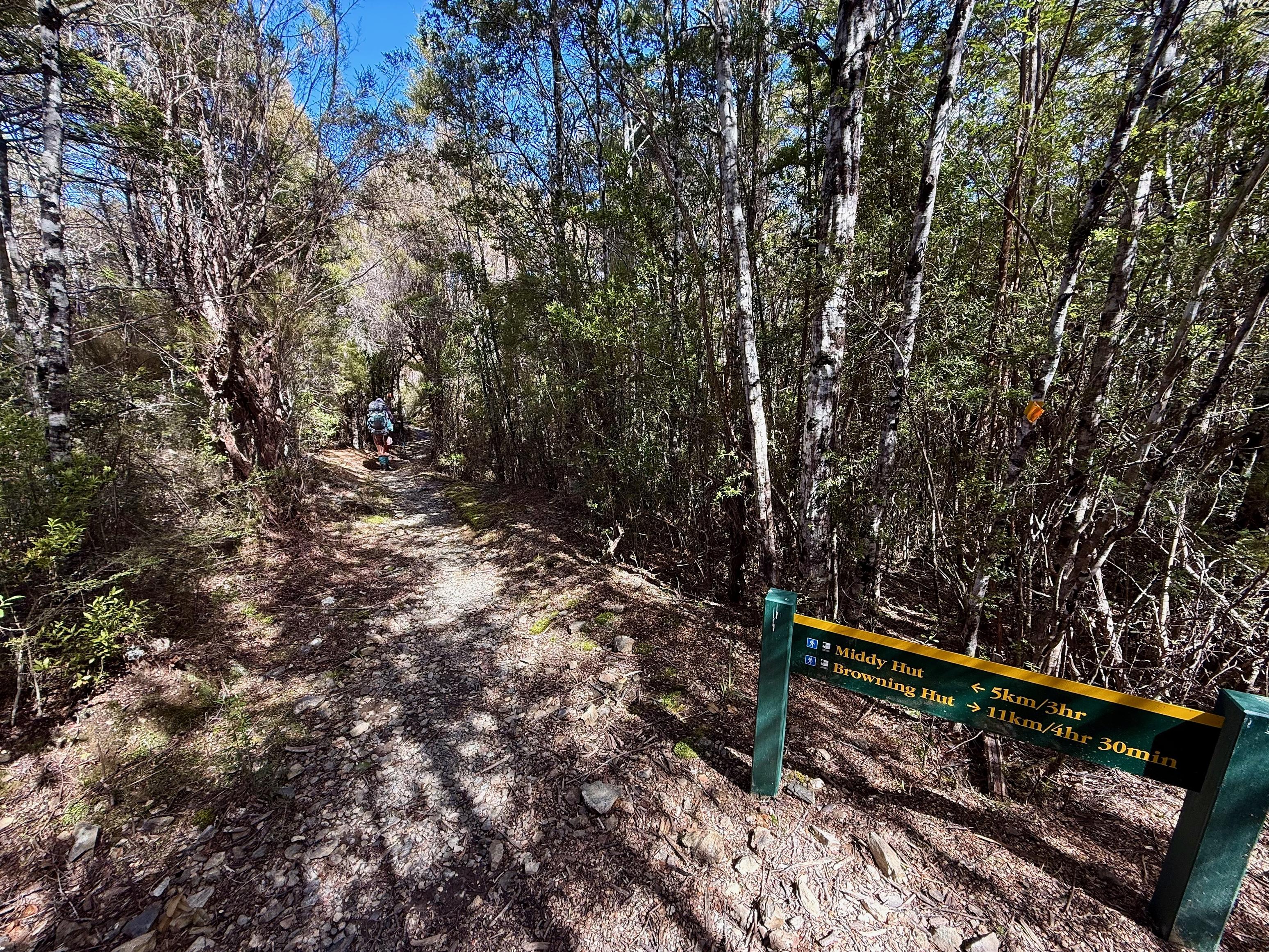
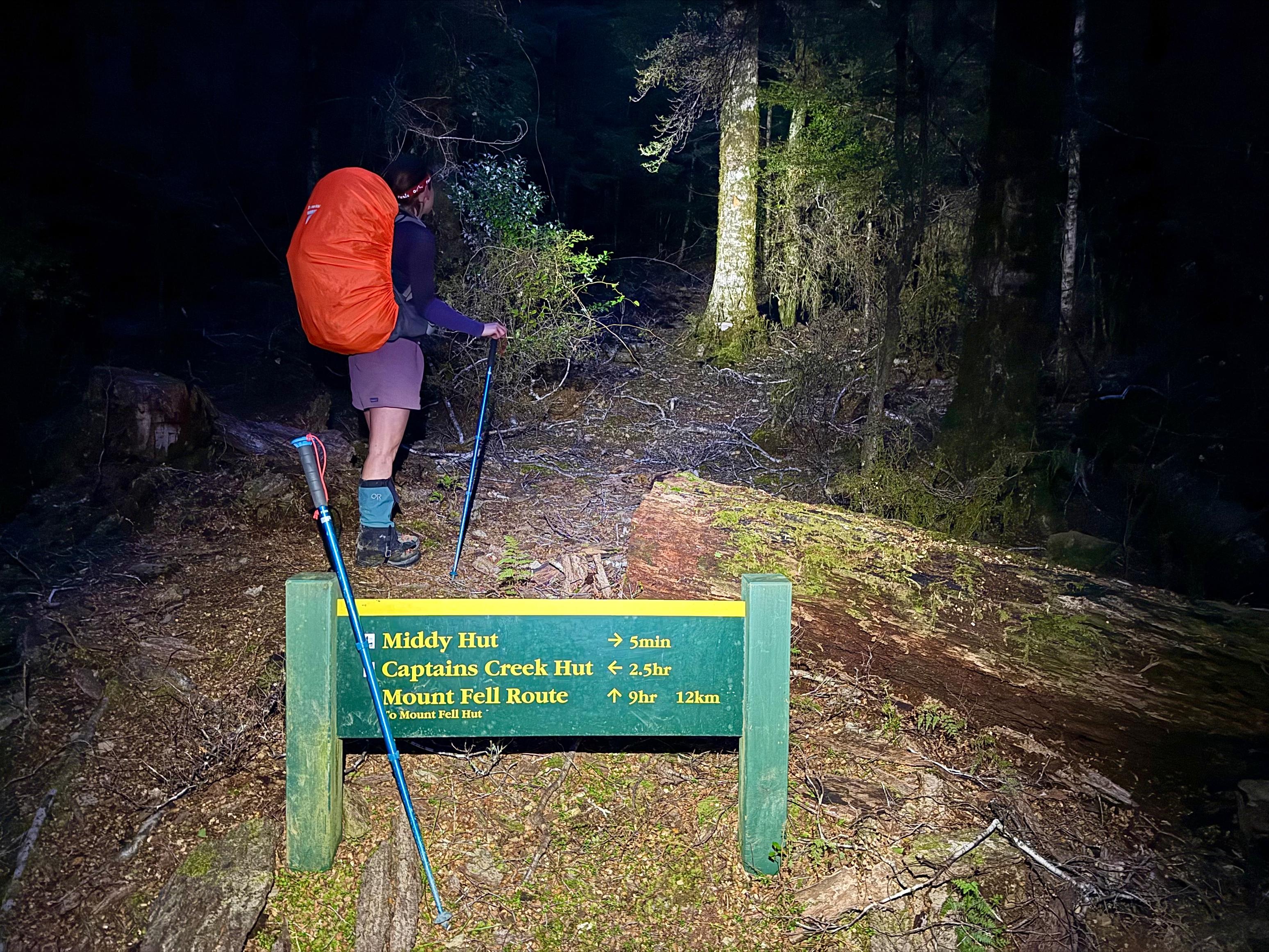
Day 4: To Middy Hut
16.54km (913m 🆙, 1216m🔻) in 5hr 40min @ 2.92km/hr.
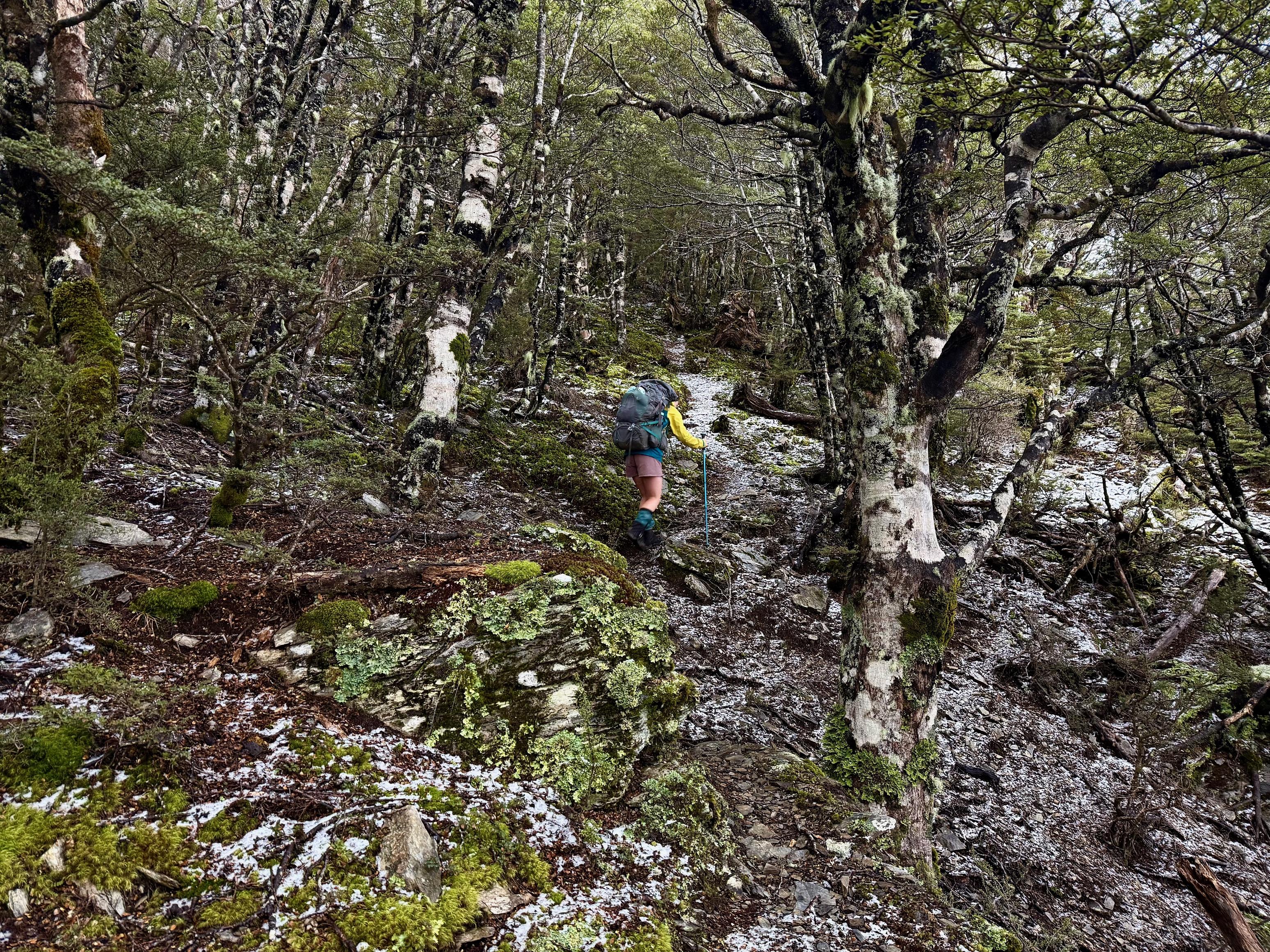
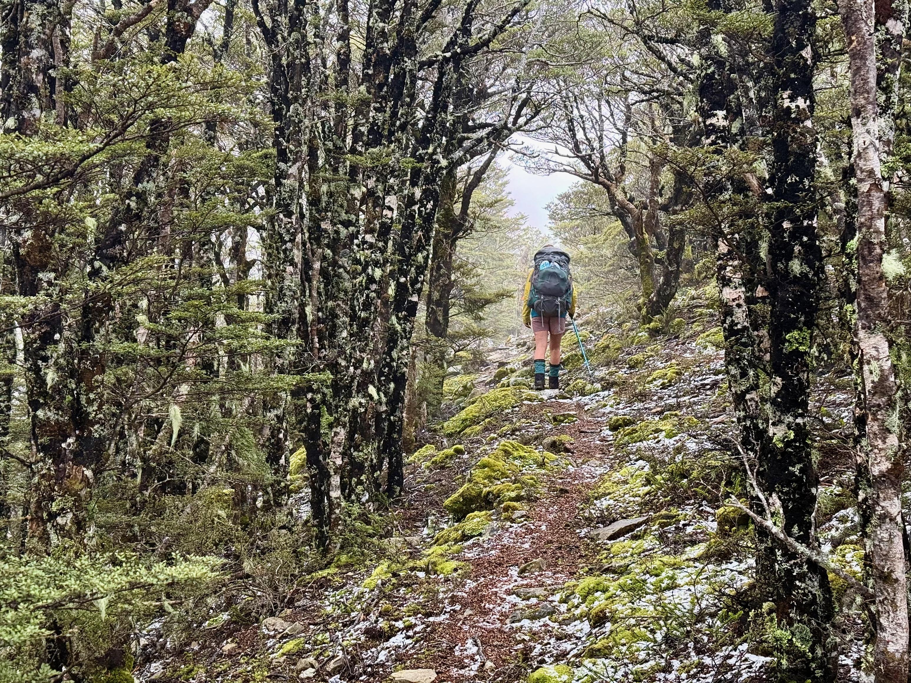
We were supposed to get up at 7am, but I stuffed up setting an alarm, and we both snoozed until 8:30am. Whoops. We packed and ate quickly and headed off. It was a short but steep climb Tōtara Saddle, where we got yet another forecast update; boy, is it useful to have intermittent cell service when the weather is dicey.
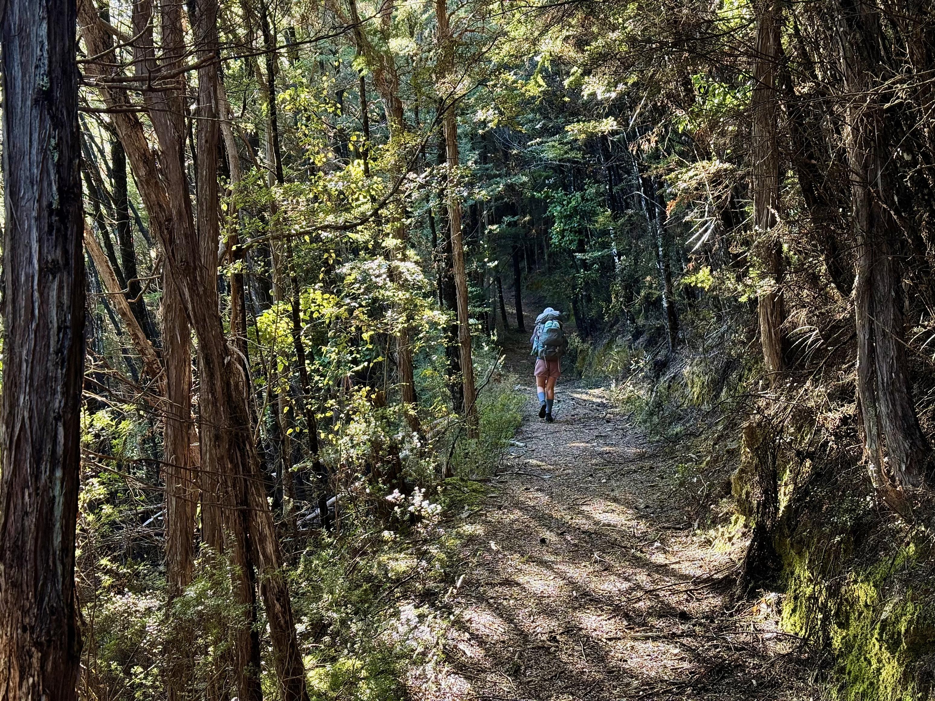
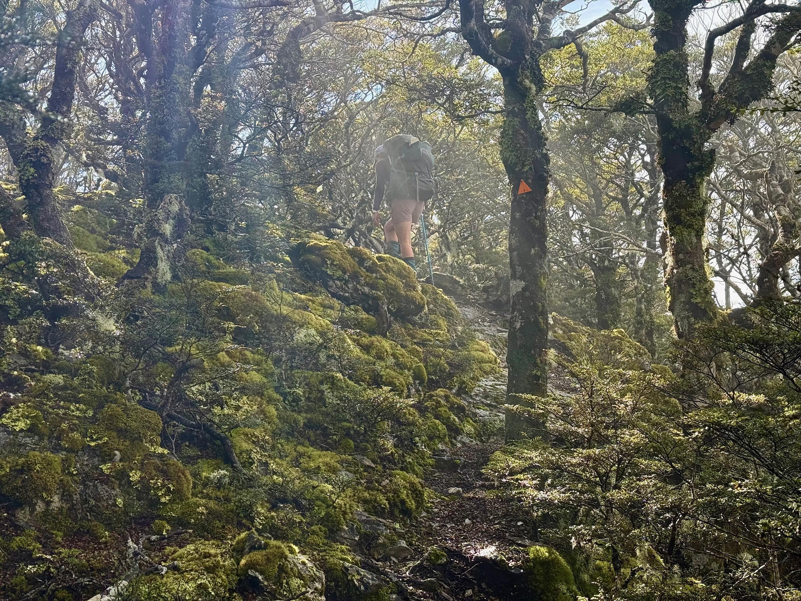
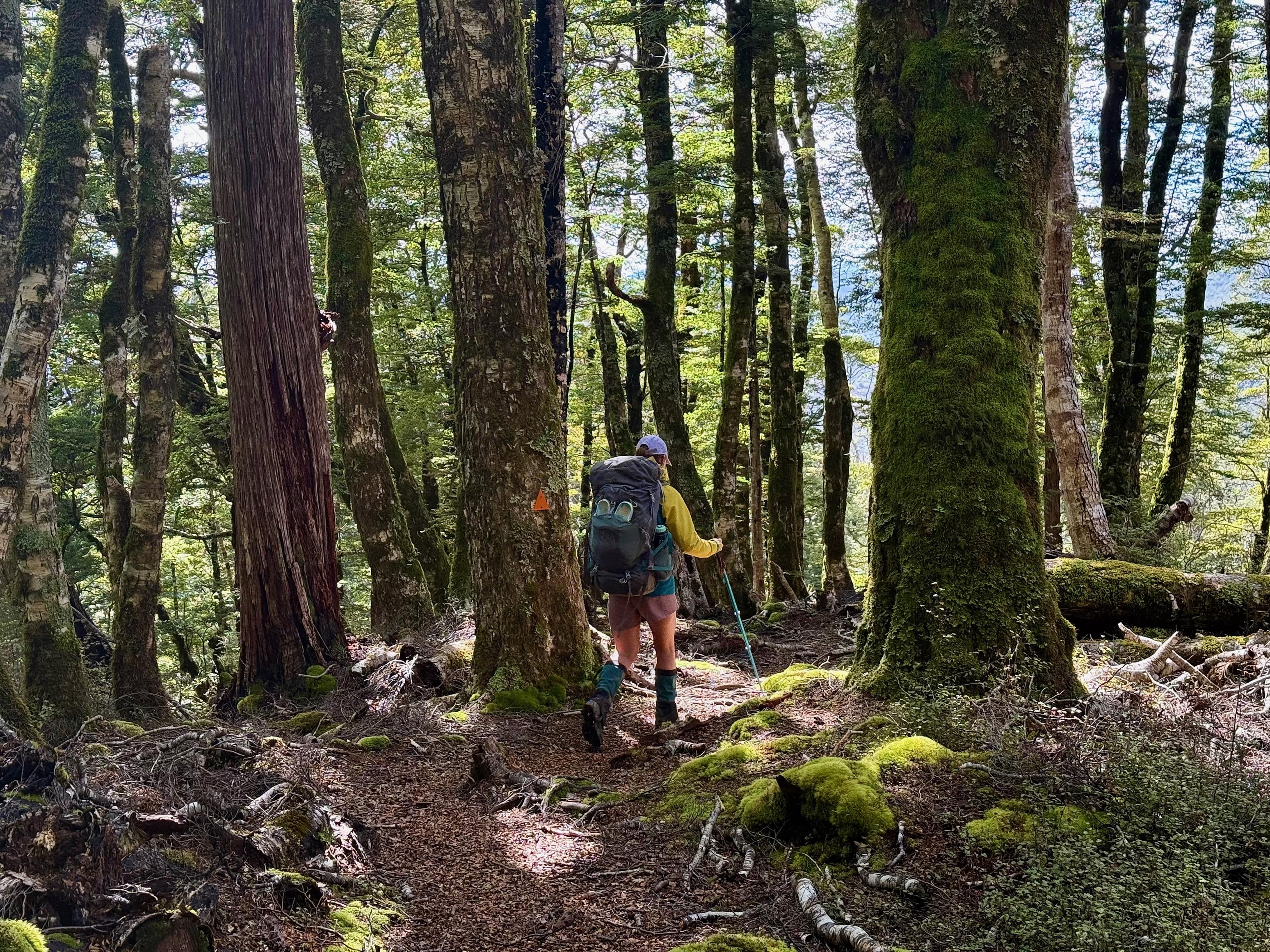
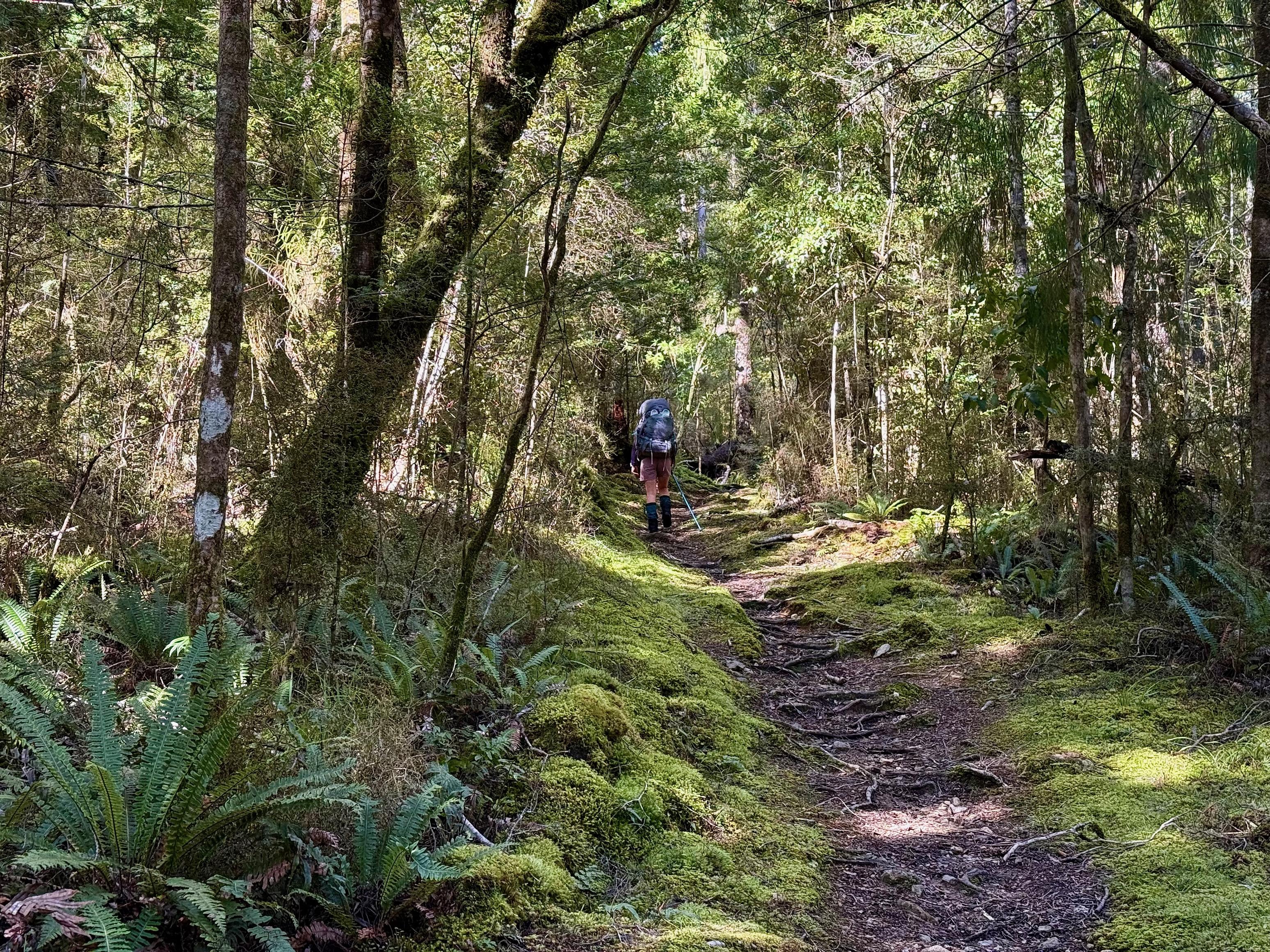
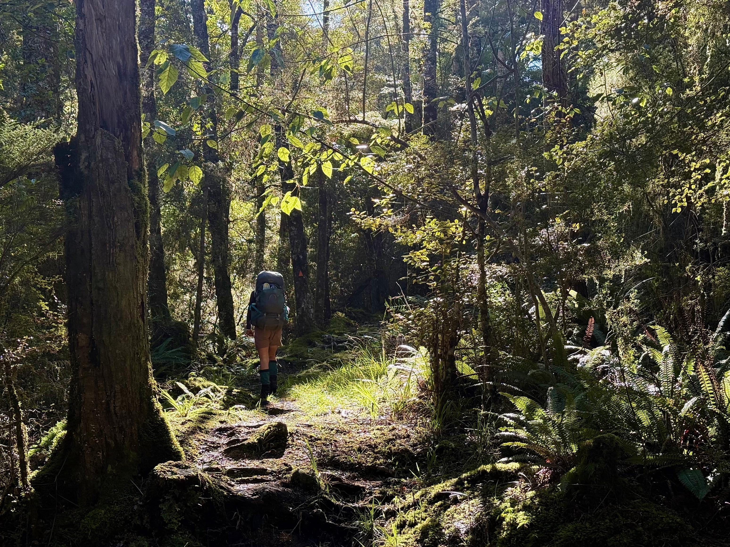
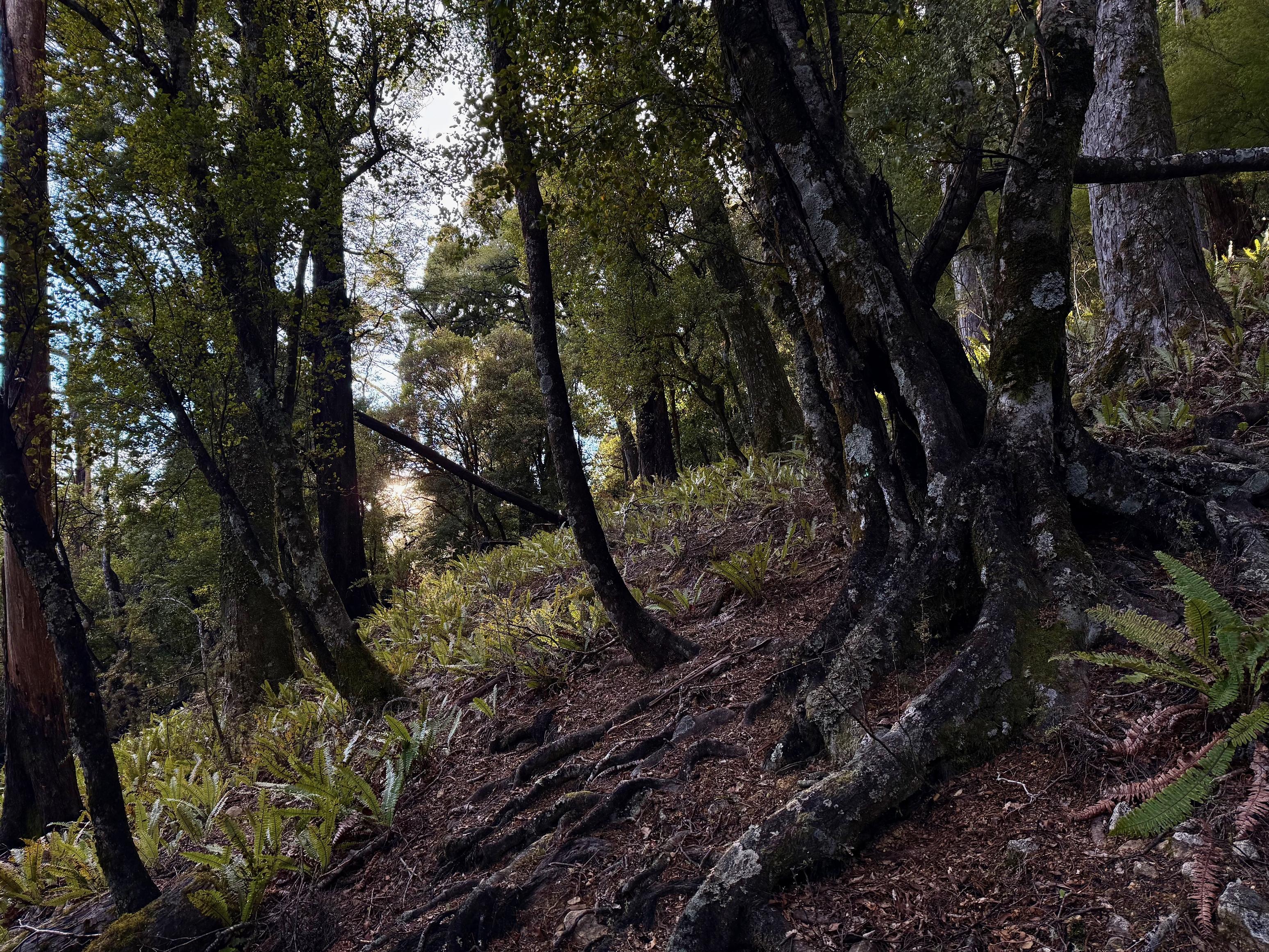
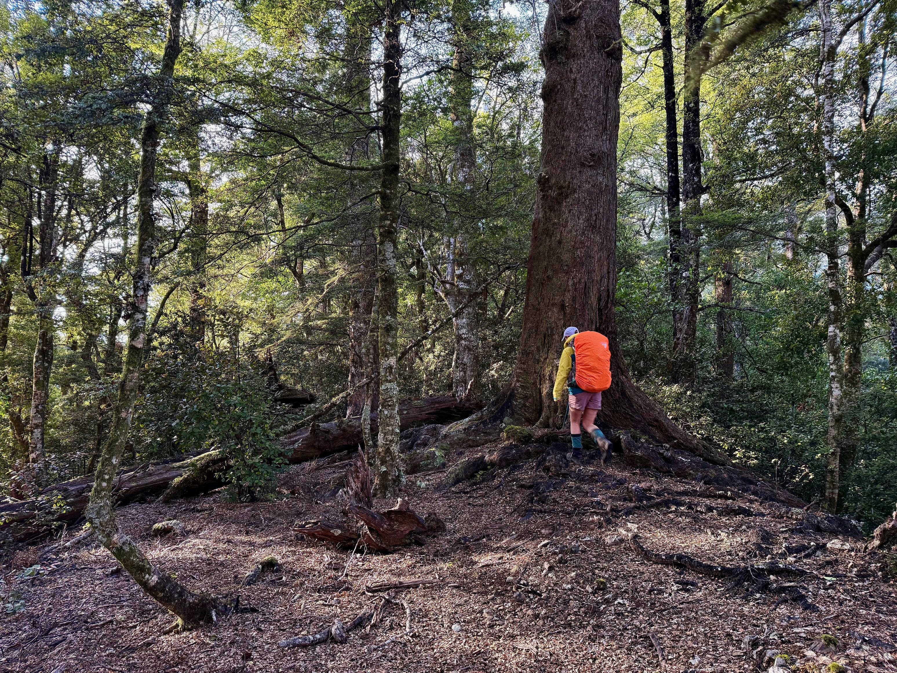
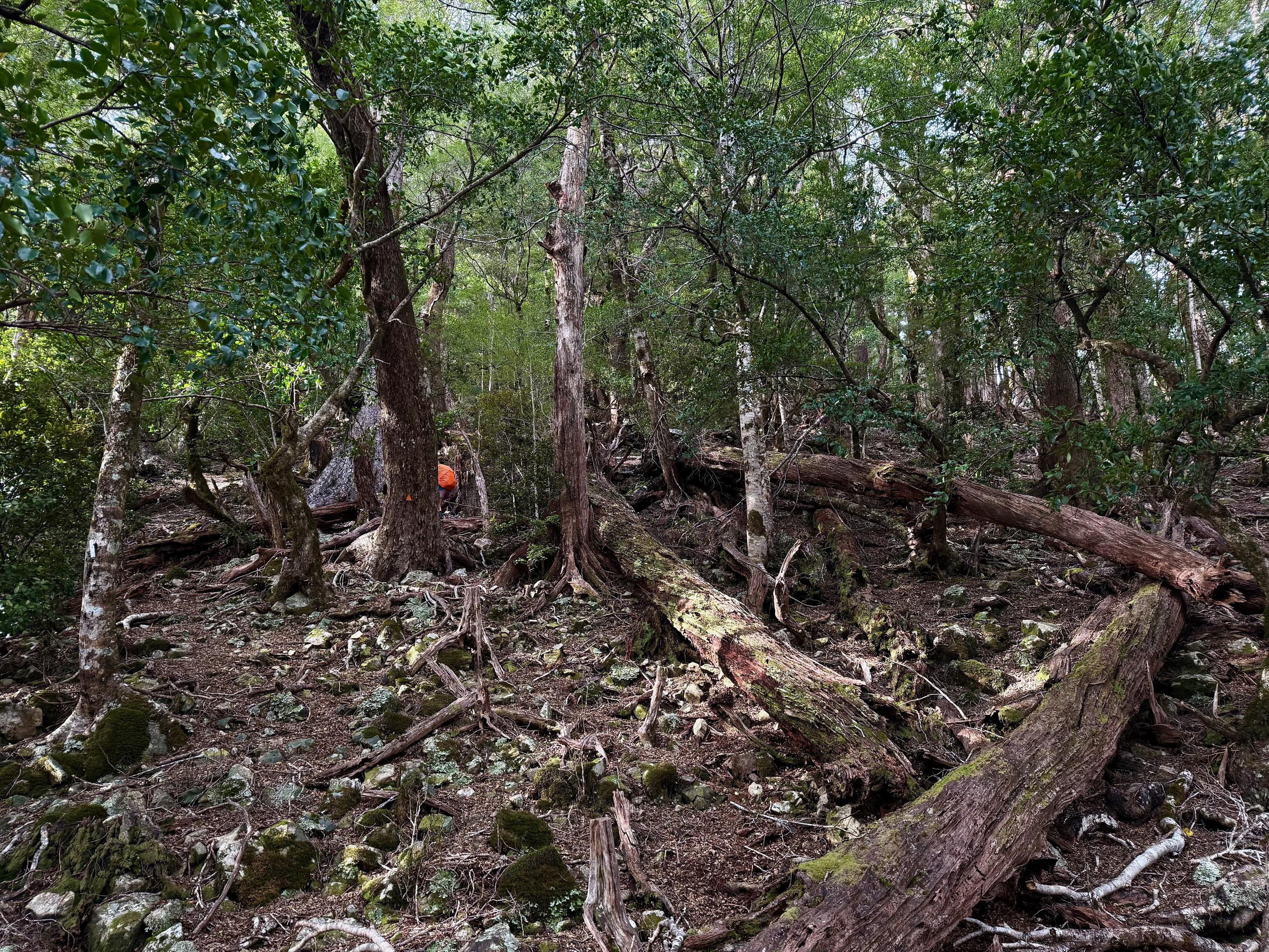
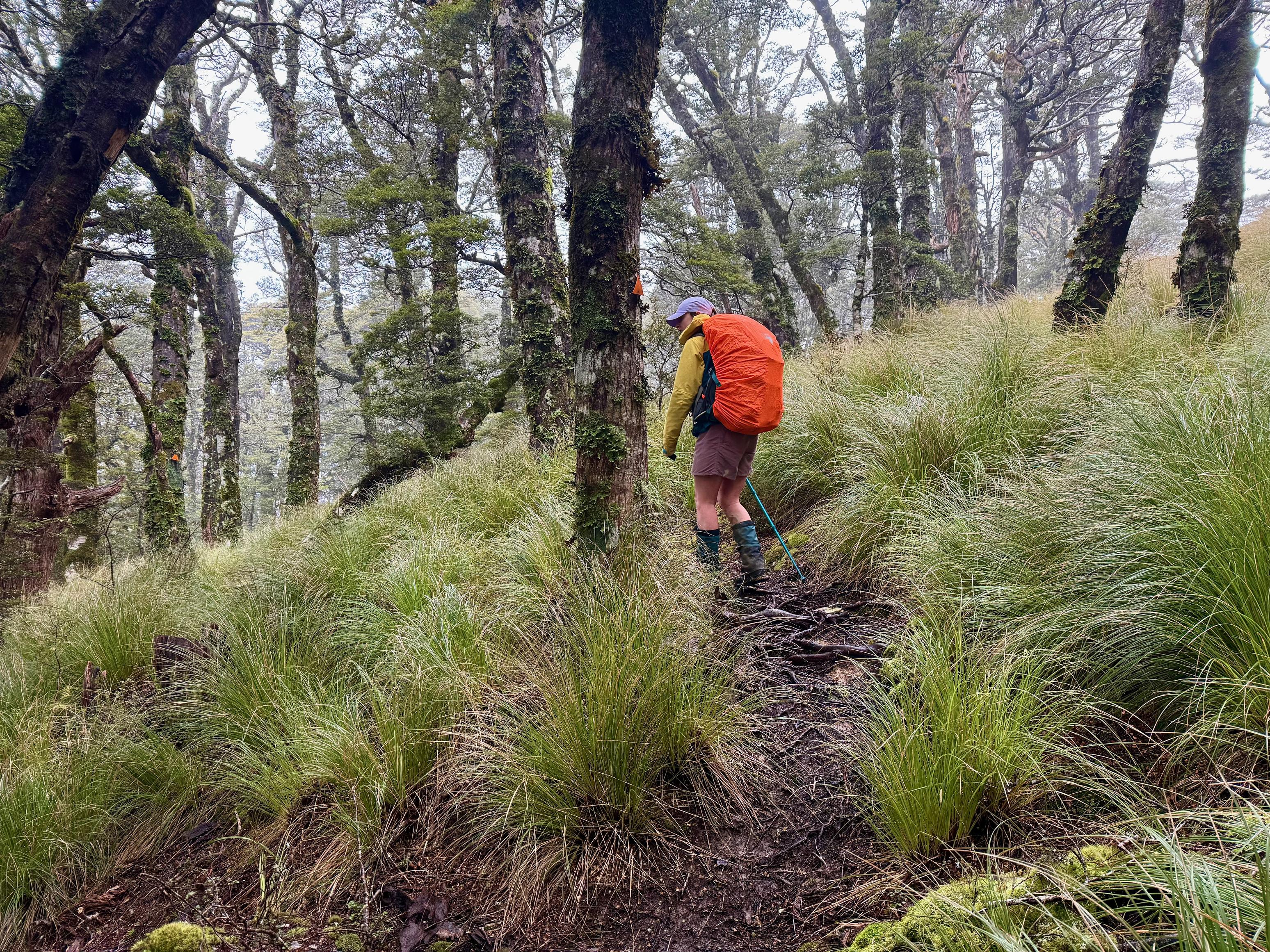
From the saddle, we turned north, sticking to the Te Araroa trail to Rocks Hut. The trail meanders up and down from point to point, often popping out onto rounded and tussocked tops, and dropping down into mature forest. I was struck by the size of the trees in some sections!
Jen was out front setting a punishing pace. She didn’t want to spend 8 hours (DOC time) walking. In the end, it would take us just over 5 hours. Plenty of time for rest! We ate lunch in the sun at a picnic table outside Rocks Hut and drank coffee from the thermos before taking the short and direct trail down to the valley floor.
The trail down is mostly quite nice. It is steep in parts and relatively moderate in others, but is quite rooty the whole way down. I wondered if that was because the ground is easily eroded, leaving the roots visible, or if they grow near the surface to inhibit erosion and thus ensure support for the tree. I’ll have to find a botanist to ask!
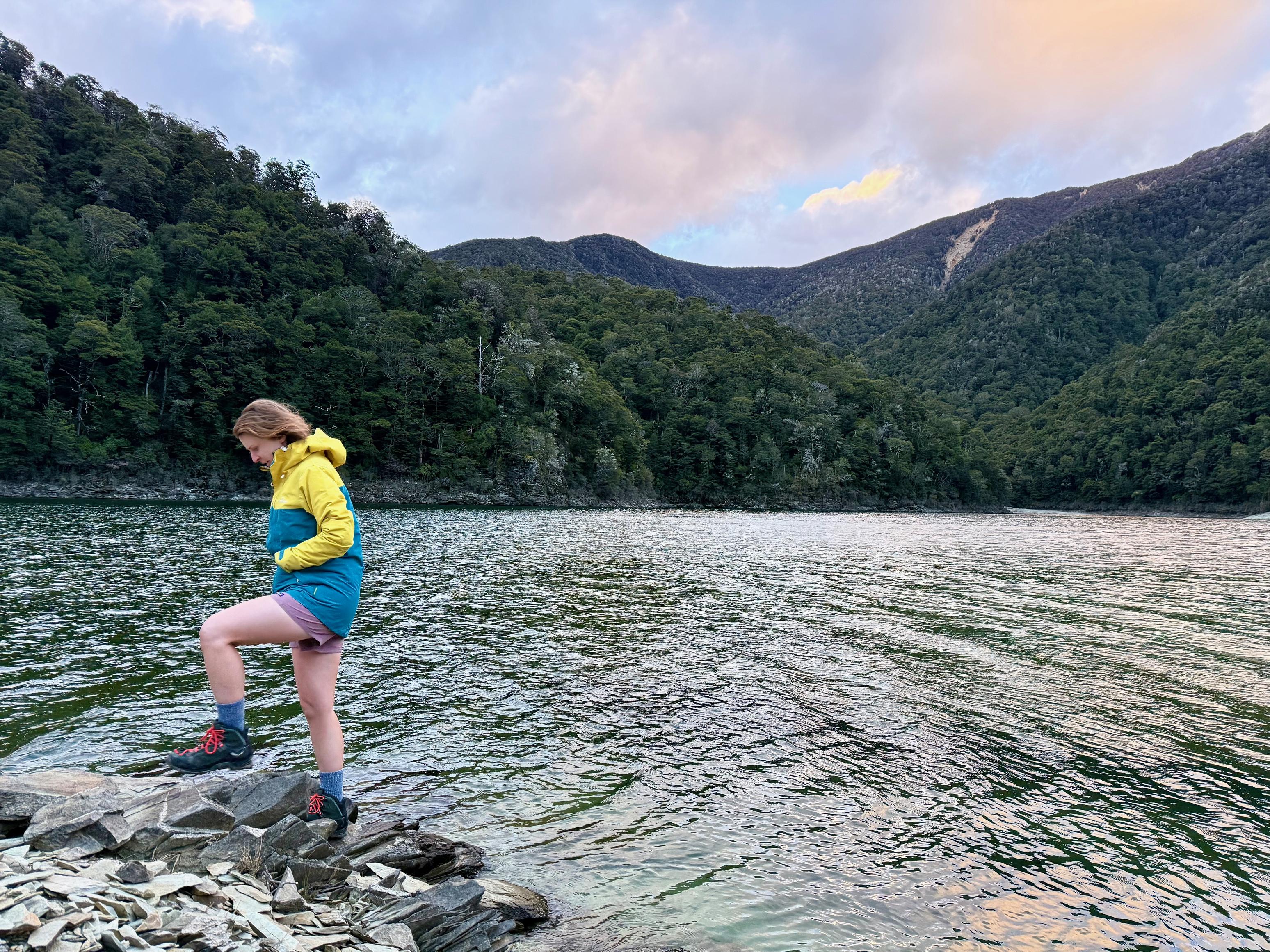
Right near the hut is a great swing bridge across the Pelorus River, situated above what looks like an amazing swimming hole. By the time we got settled into the hut and foraged and cut more wood, the day had cooled off and we no longer felt like a dip. Perhaps another time in midsummer!
☕️ Muesli & coffee
🥜 Nut bar & lollies
🌮 Hummus & cheese wrap
🍴 Dahl
🍫 Hot drinks & chocolate
📷: Finn Le Sueur
📷: Finn Le Sueur
📷: Finn Le Sueur
📷: Finn Le Sueur
📷: Finn Le Sueur
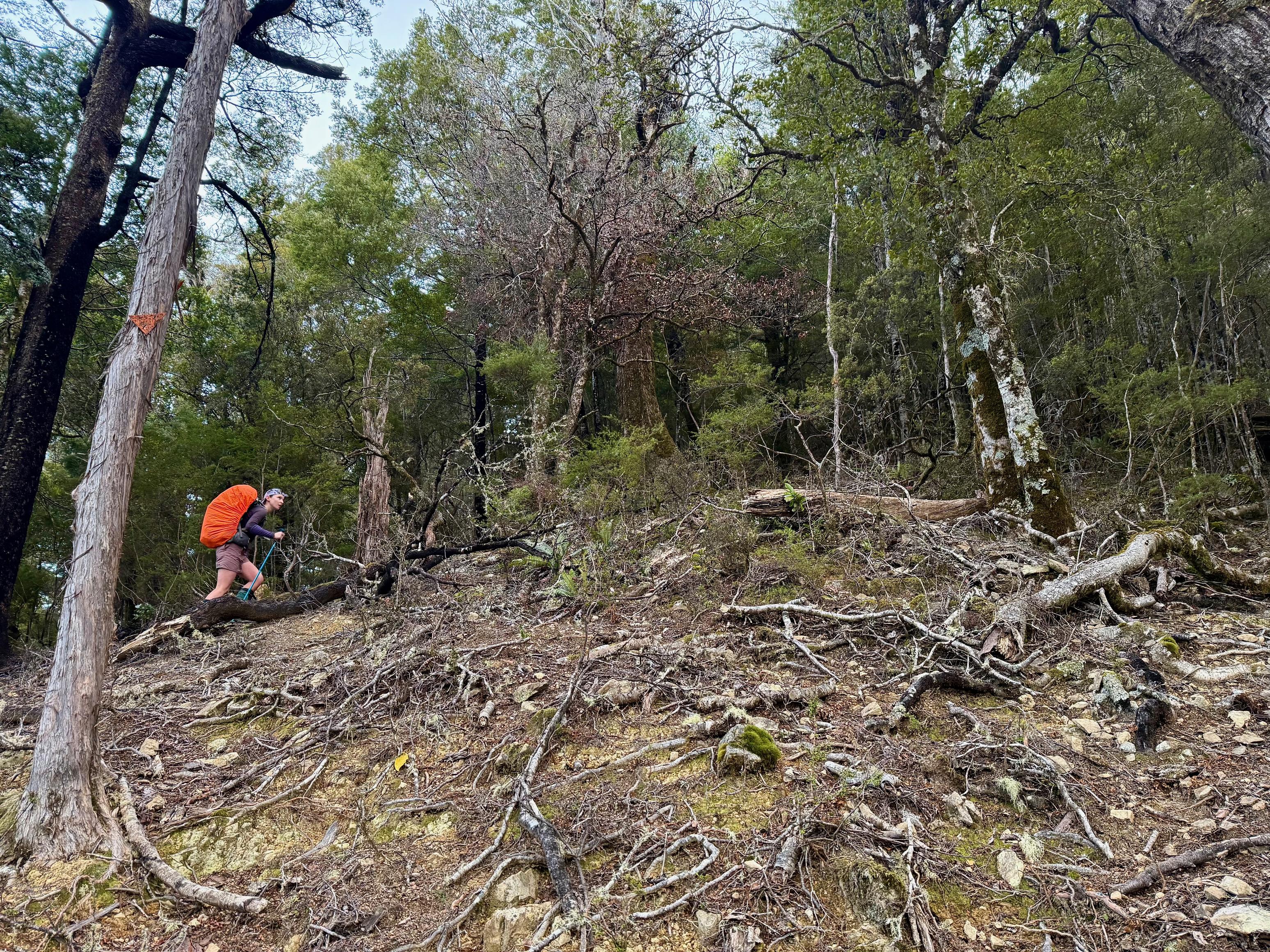
Day 5: To Mt Fell Hut
13.91km (1998m 🆙, 890m🔻) in 6hr 45min @ 2.06km/hr.
5:45am, the alarm goes off. We roll out of bed, inhale breakfast, and coffee we prepared the night before. On go the hiking clothes, coffee for the thermos gets made, the wraps get pre-made.
6:30am, the hut is tidy, headlights are on heads, and backpacks are on. We are off! We trot down the track and quickly find the turn off for the Middy to Mt Fell Route, although not before Jen heads back to the hut to check under the bed for something that fell on the floor.
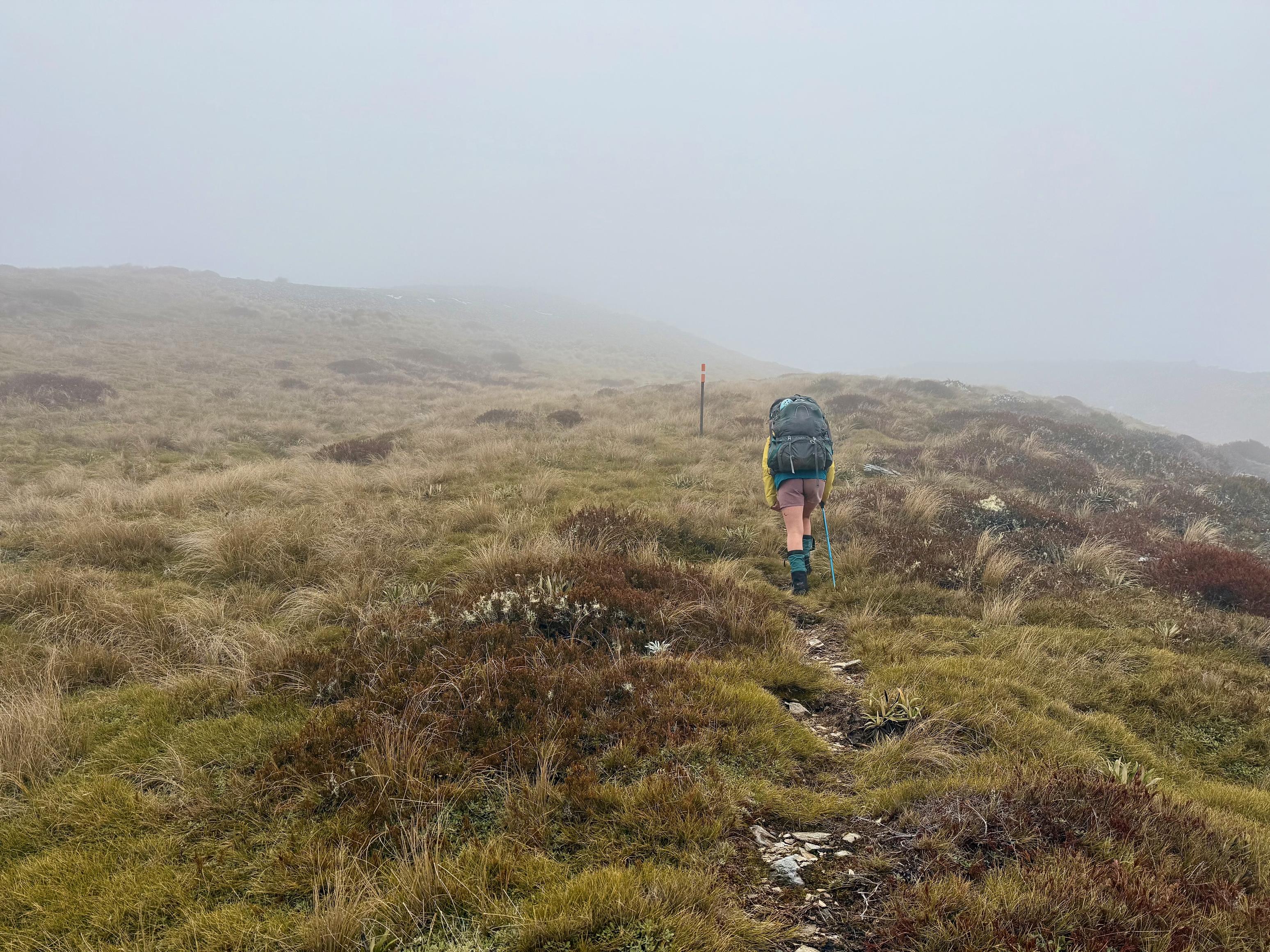
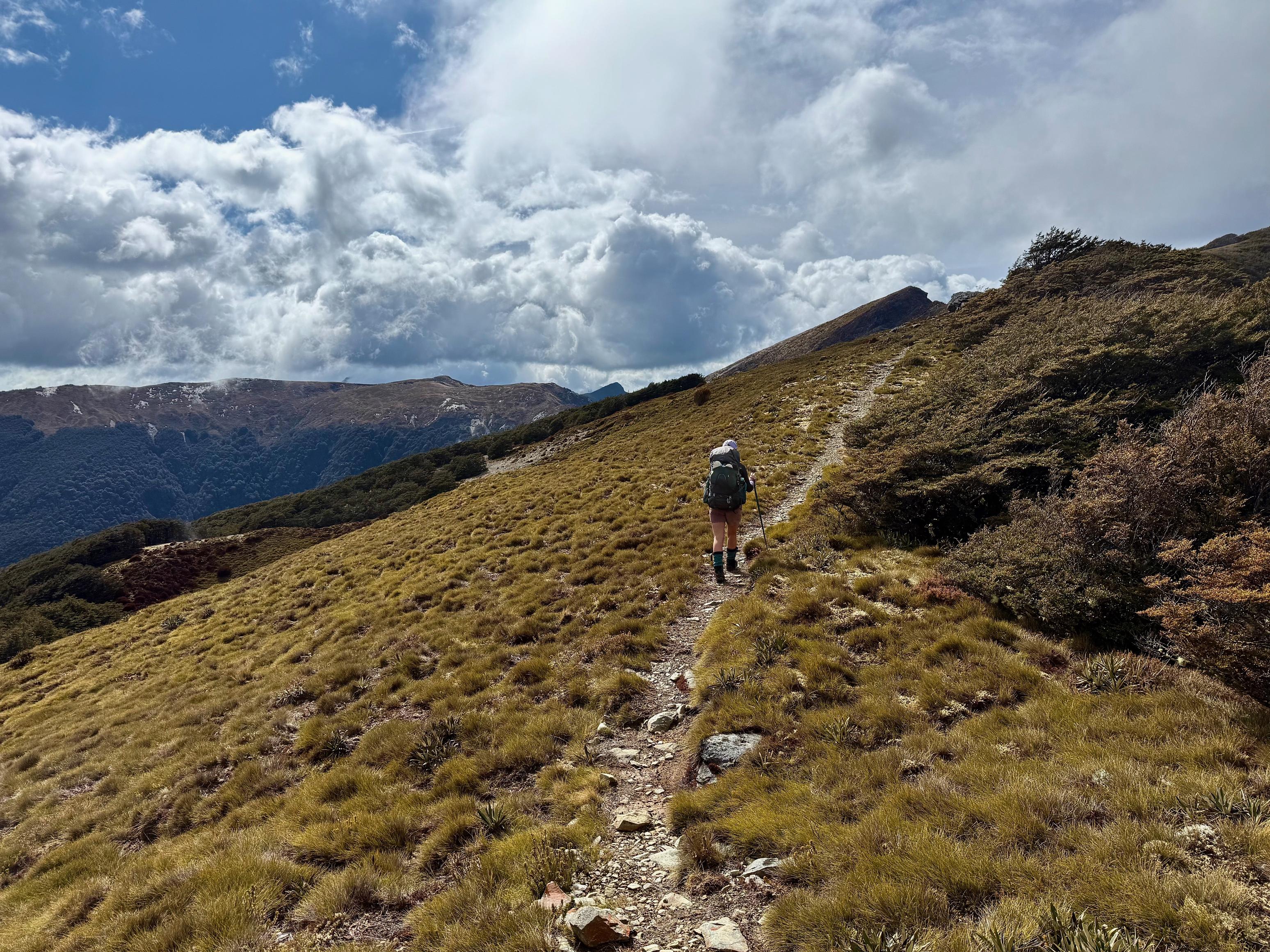
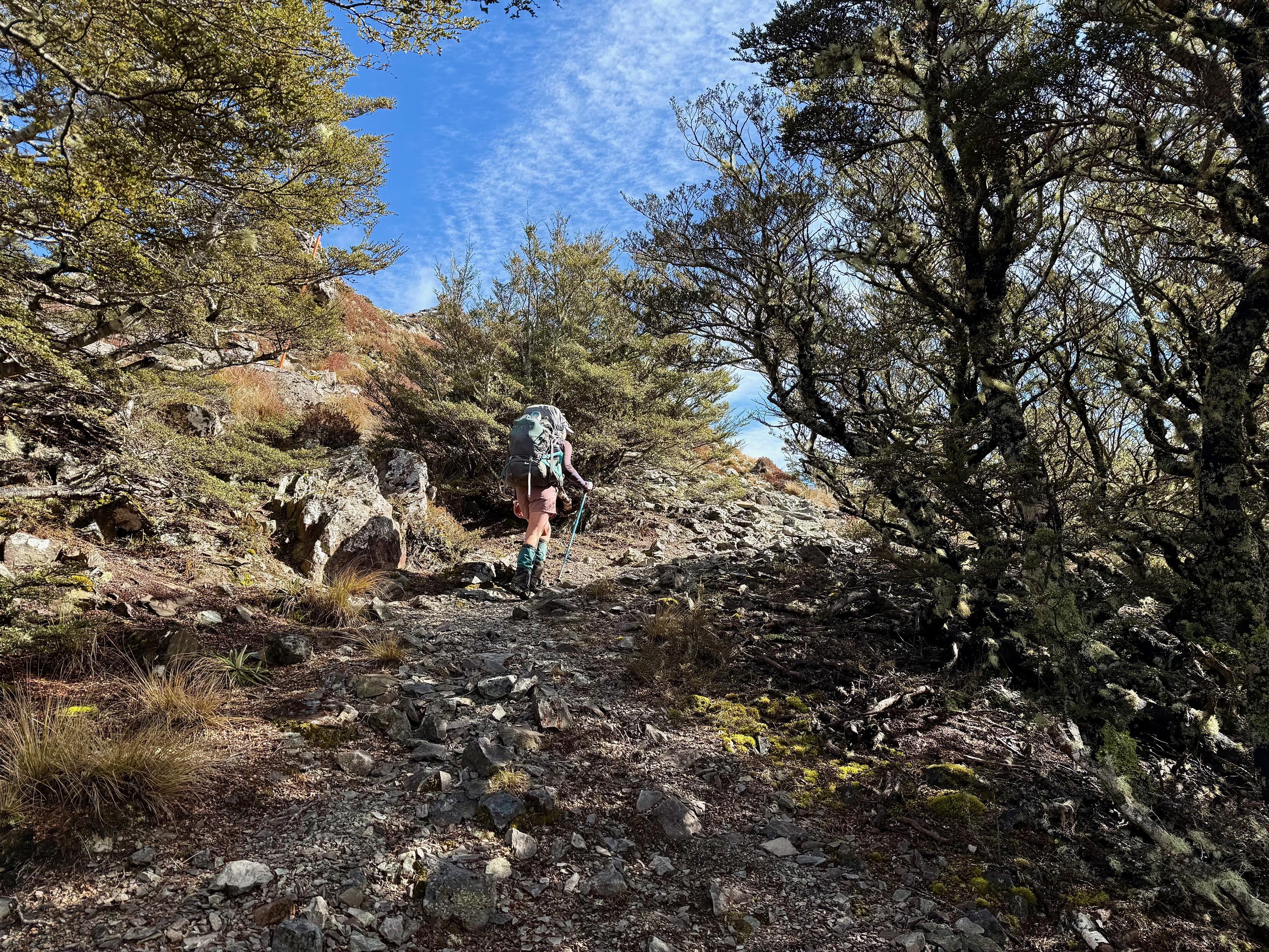
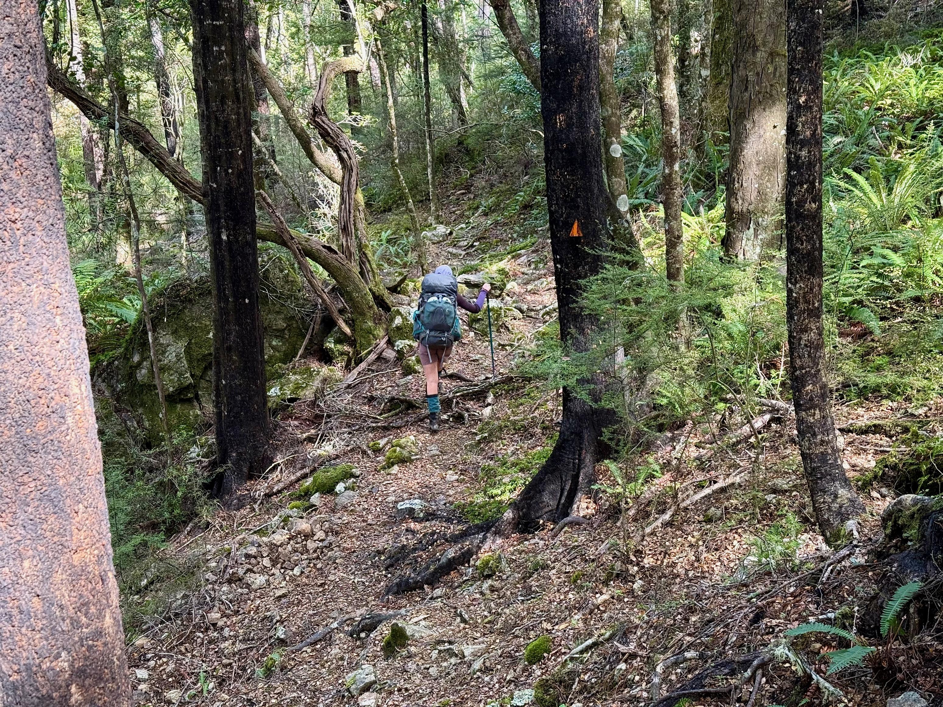
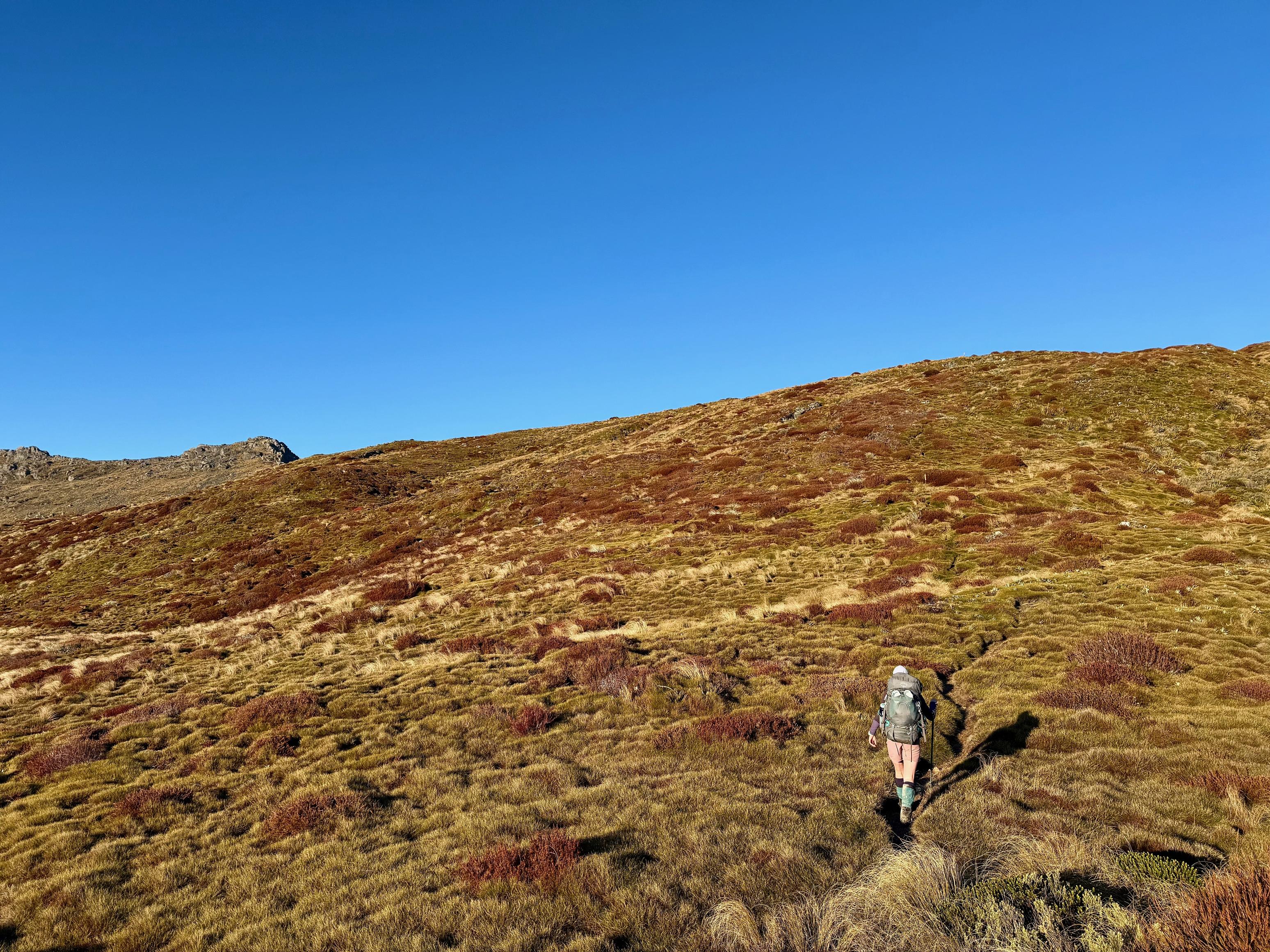
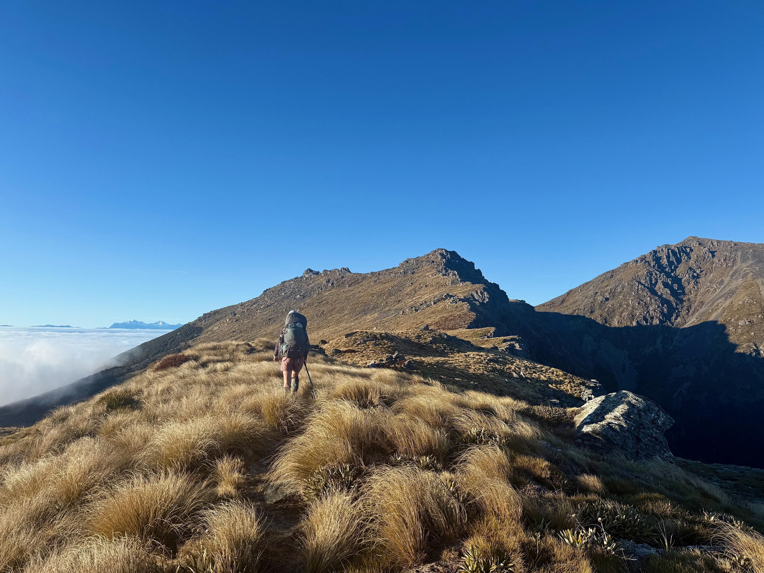
From the turnoff, the track climbs unrelentingly and very steeply through a series of zig-zags up 700m to point 900. From here, it generally eases off, alternating between beautiful forested saddles and ridges, and sharp pinches of 100-200m climbing. The final climb to Conical Knob was especially steep.
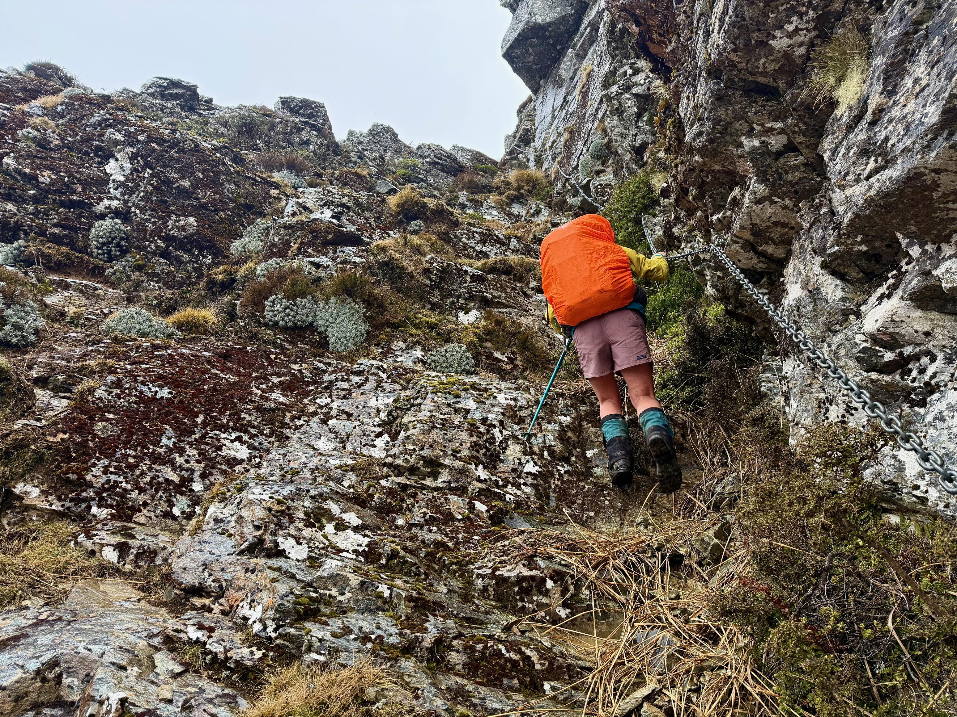
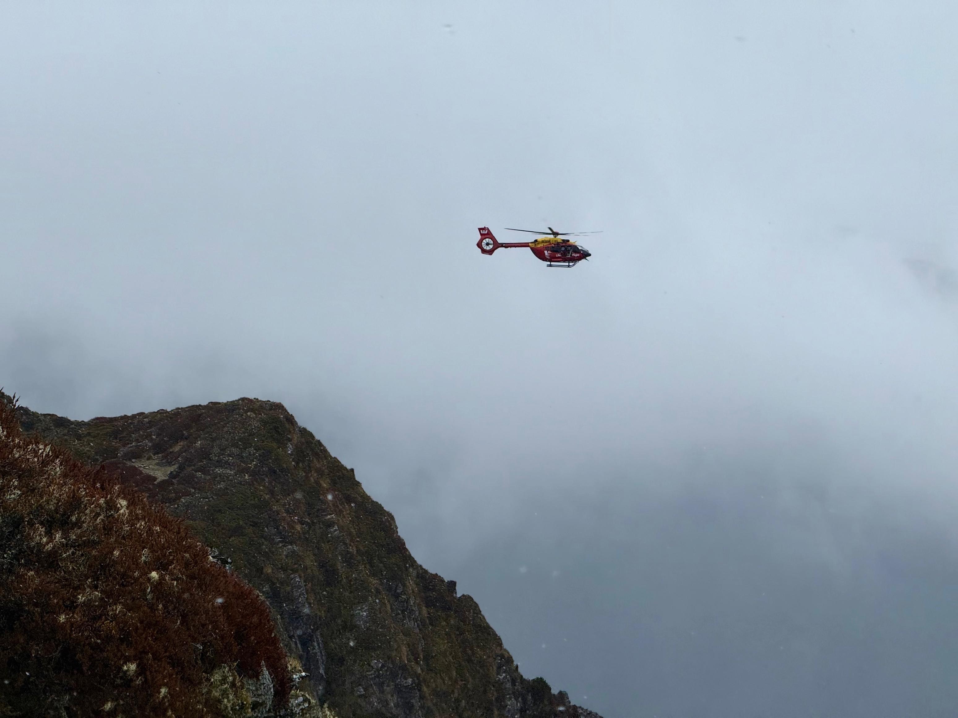
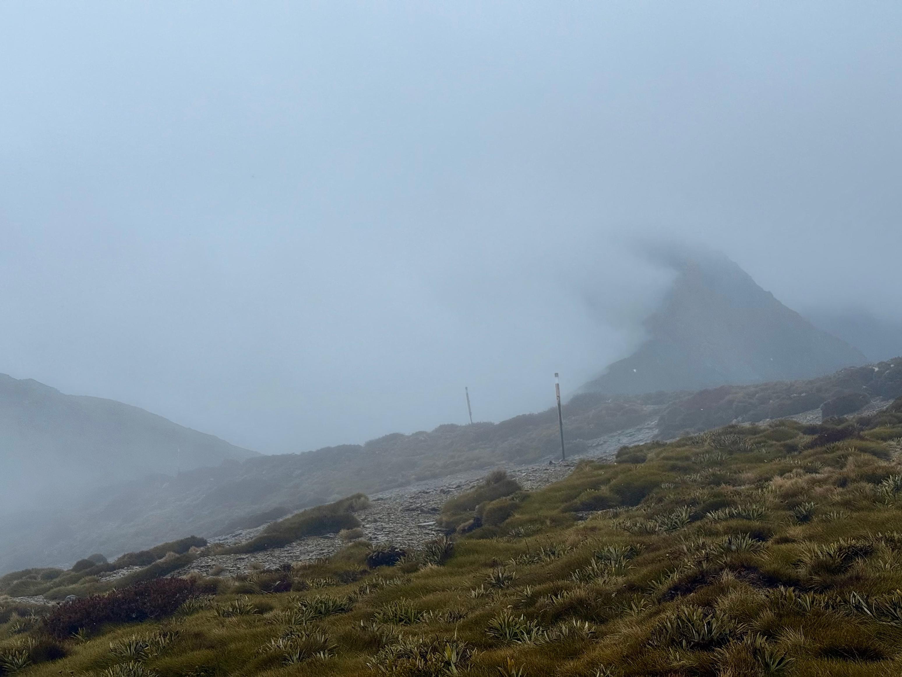
As we approached the chain ladder and point 1496 the westerly wind picked up, and a little bit of rain came in. Simultaneously, the track became more exposed to it. Still, we had plenty of warm clothes left to put on and felt safe continuing. That was until the Westpac Rescue Helicopter turned up and circled nearby us, watched us climb the chain ladder and hovered just west of 1496. We tried to wave hi and give the “ok” symbol, but we’re still unsure what they were doing. It was a little disconcerting, though! I checked my Garmin inReach to ensure I hadn’t bumped the SOS button. Nope, all good.
From there, the track drops to a saddle marked 1411, which was really pretty, in spite of the wind and rain. We found the last climb to Mt Fell scrambly and interminable on our tired legs. The scramble was a little sketchy in the wind and rain, but nothing we were overly concerned about. We continued to be quite exposed to the westerly wind until after the turnoff to the Mt Fell Hut.
In the end, we made great time and beat the worst of the weather. Both were great successes in our books. We had plenty of time to eat a late lunch, forage for wood and chop it up. Previous hut-goers had left nary but a single log and a large pile of smaller sticks. We soon rectified that.
☕️ Muesli & coffee
🥜 Nut bar x2 & lollies
🌮 Hummus & cheese wrap
🍴 Baked beans, mash potato & cheese
🍫 Hot drinks & chocolate
📷: Finn Le Sueur
📷: Finn Le Sueur
📷: Finn Le Sueur
📷: Finn Le Sueur
📷: Finn Le Sueur
📷: Finn Le Sueur
📷: Finn Le Sueur
📷: Finn Le Sueur
📷: Finn Le Sueur
📷: Finn Le Sueur
📷: Finn Le Sueur
📷: Finn Le Sueur
Day 6: Rest Day
We aimed to gain a day earlier in the trip so that we could have a rest day here at Mt Fell Hut. We knew our legs would be tired and, more importantly, that some rain was blowing through on Wednesday and Thursday. We didn’t want to be crossing Mt Richmond in that!
It was fairly cold overnight, with some frost inside the hut and plenty outside of it. We used much of the wood pile we had gathered the previous day and so, we had a slow coffee and breakfast before heading out into the nearby woods to forage for wood. Lots of it. We spent over two hours collecting and chopping wood, although much of it was too wet for immediate use and would need to dry out in the shed.
Jen also took this opportunity to trim the tussocks sticking out onto the track to the toilet and fill in some of the muddy spots with wood-chopping debris. Hopefully, all of this is appreciated by future trampers!
We whiled away the rest of the day in our sleeping bags in front of the fire, reading our books, drinking tea and generally relaxing. Fingers crossed for good weather on the final day out!
☕️ Muesli & coffee
🥜 Nut bar & lollies
🌮 Hummus & cheese wrap, spicy noddles
🍴 Taco rice
🍫 Hot drinks & chocolate
Day 7: Out
17.55km (942m 🆙, 1914m🔻) in 7hr 22min @ 2.38km/hr.
In the evening, two hikers arrived at the hut and were pleased to find the fire lit and the hut nice and warm. They were doing the same loop as us, except starting and ending at a different point, and also over three days instead of 6. Bonkers!
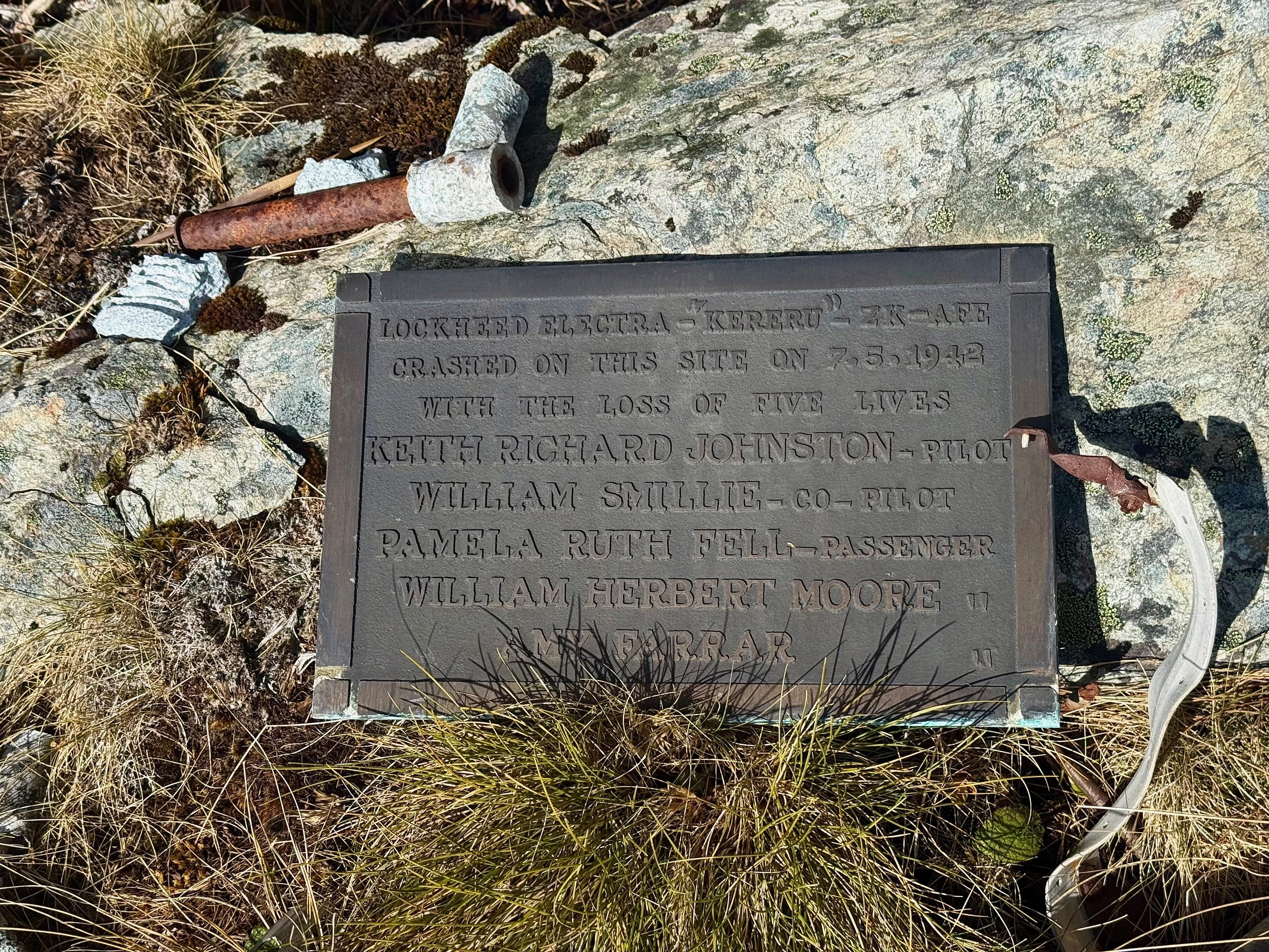
As they were up early for a big day, we were also up promptly. This turned out to be a good thing as searching for the 1942 wreckage of the Kereru took longer than expected.
After climbing up from the hut to the track junction at the saddle, we followed the reasonably well-formed track toward the saddle south-west of point 1613 as per the Topo50 tiles. Around 1480, we sidled off the track and descended to where we thought the wreckage was (according to some quick Googling). Alas, we were much too low and had all but given up and were headed back to the track directly above (west) of us, when we happened upon the wreckage scattered down the hillside.
The plaque commemorating the is at -41.47198, 173.40973 on a medium-sized bluff. Most of the wreckage is scattered directly below the impact zone next to the plaque and should be easily found once at that location. To see how mangled the fuselage was and how there was still metal jammed in the rock face where it impacted was really rather grim.
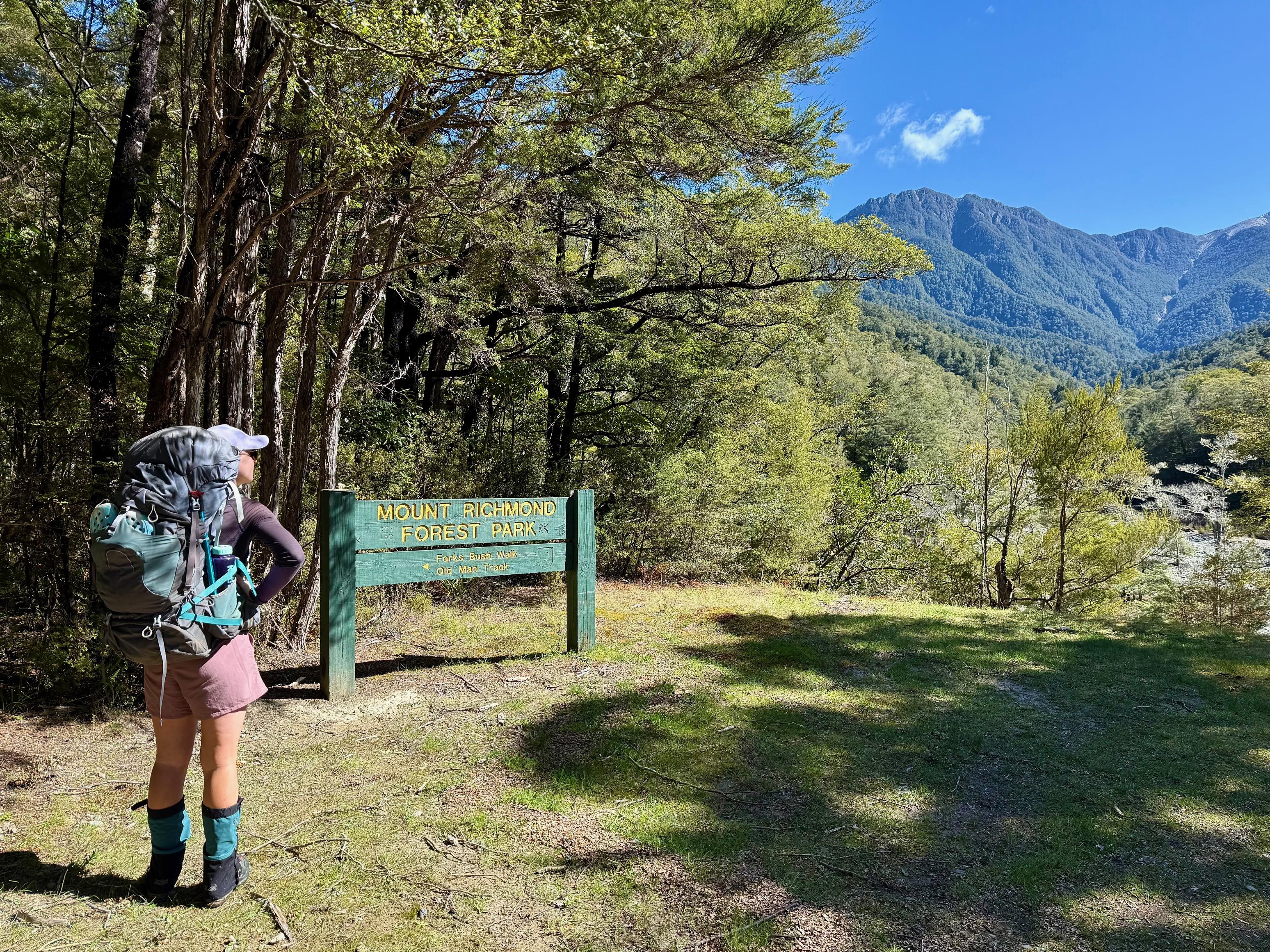
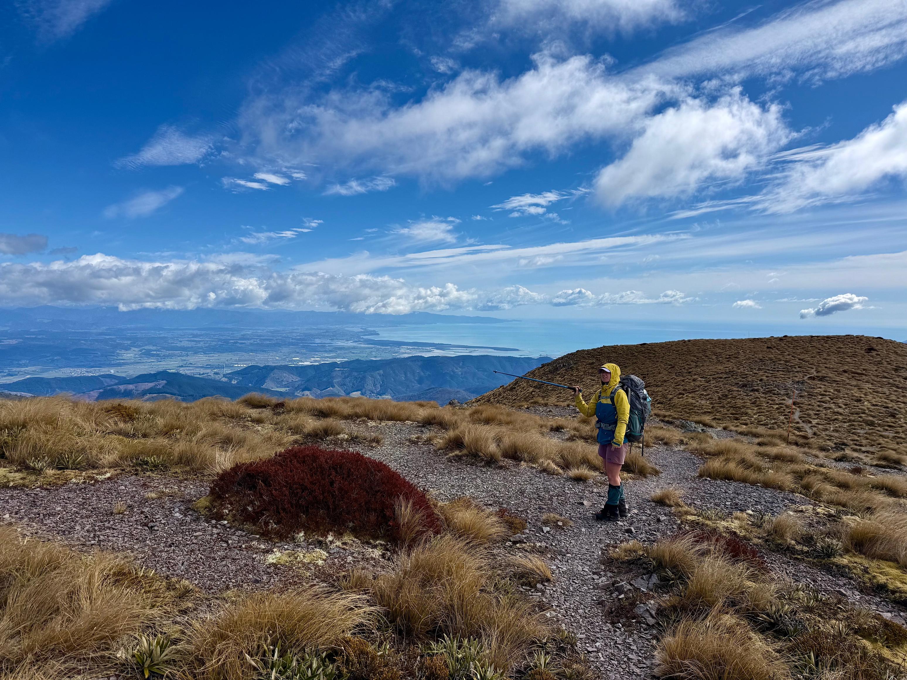
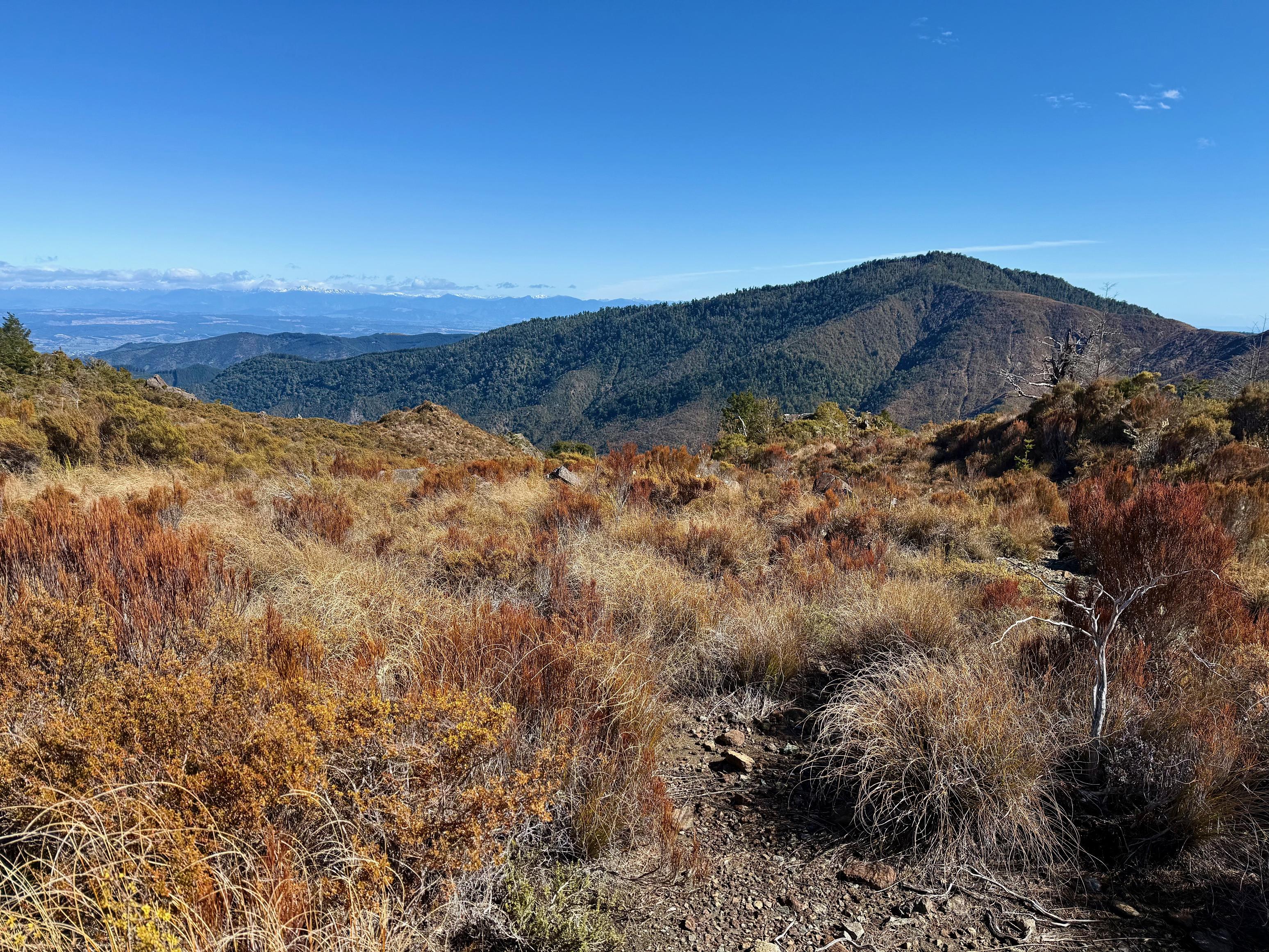
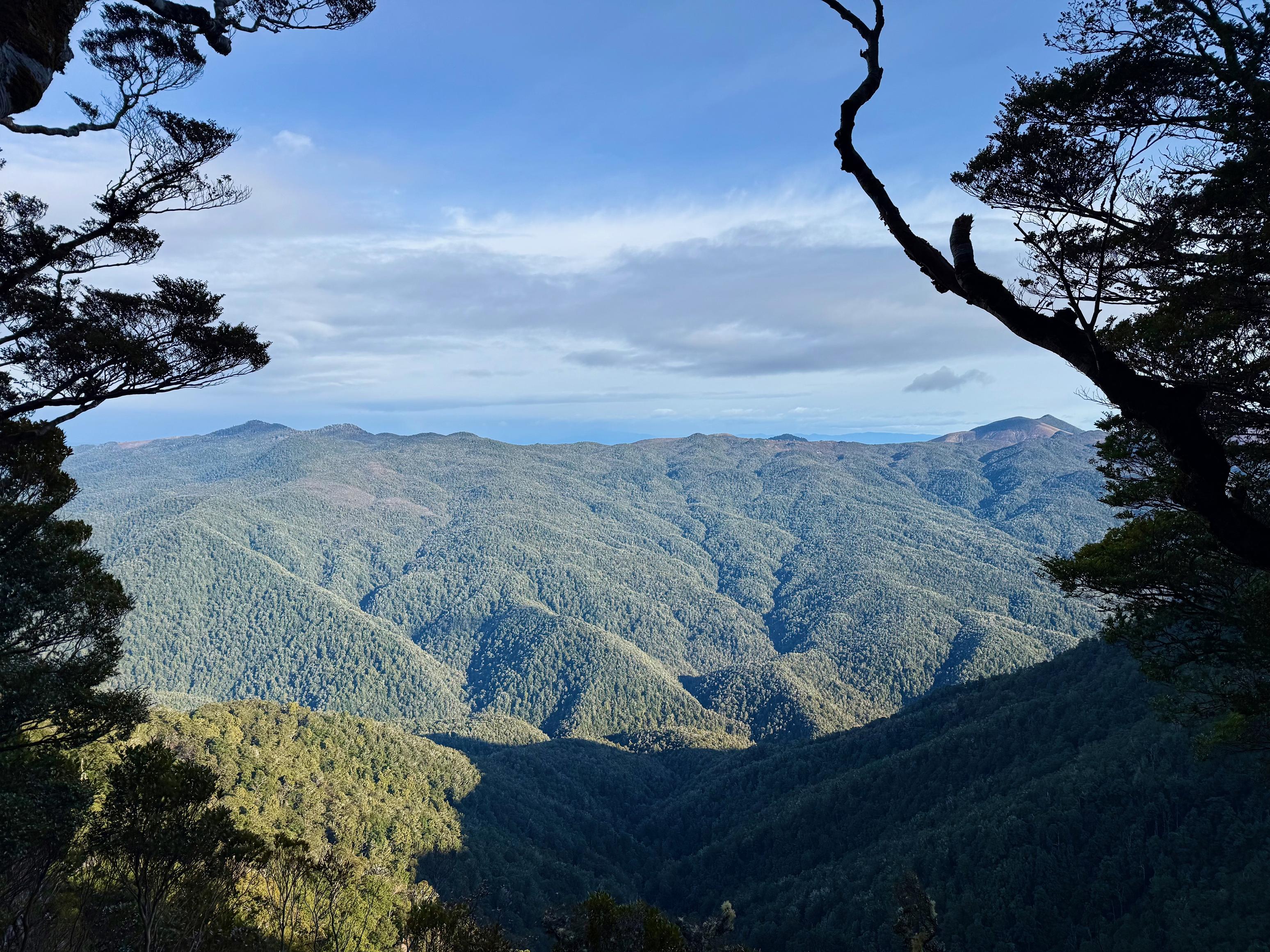
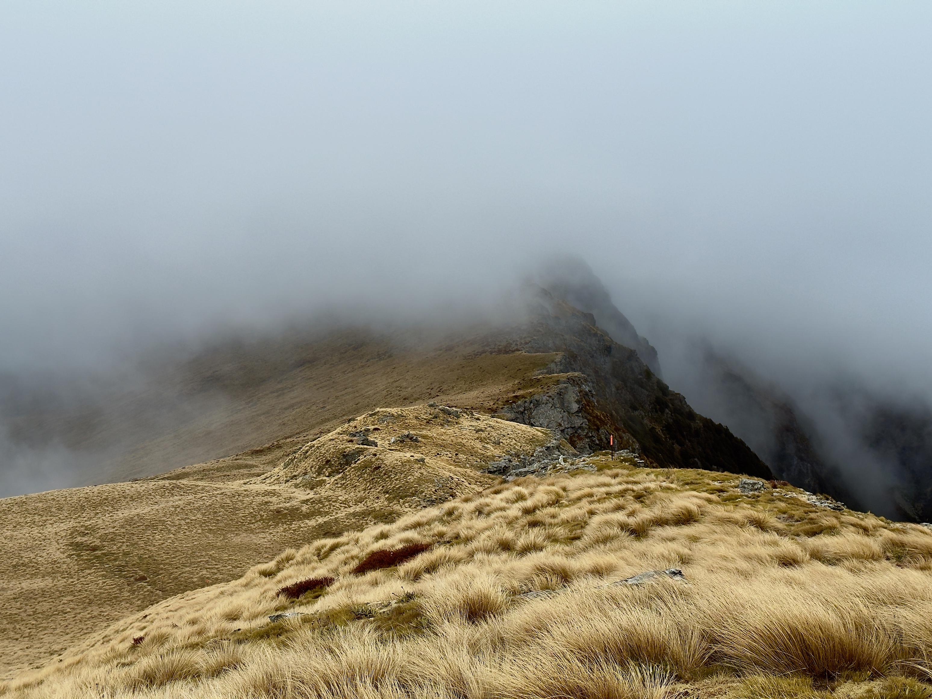
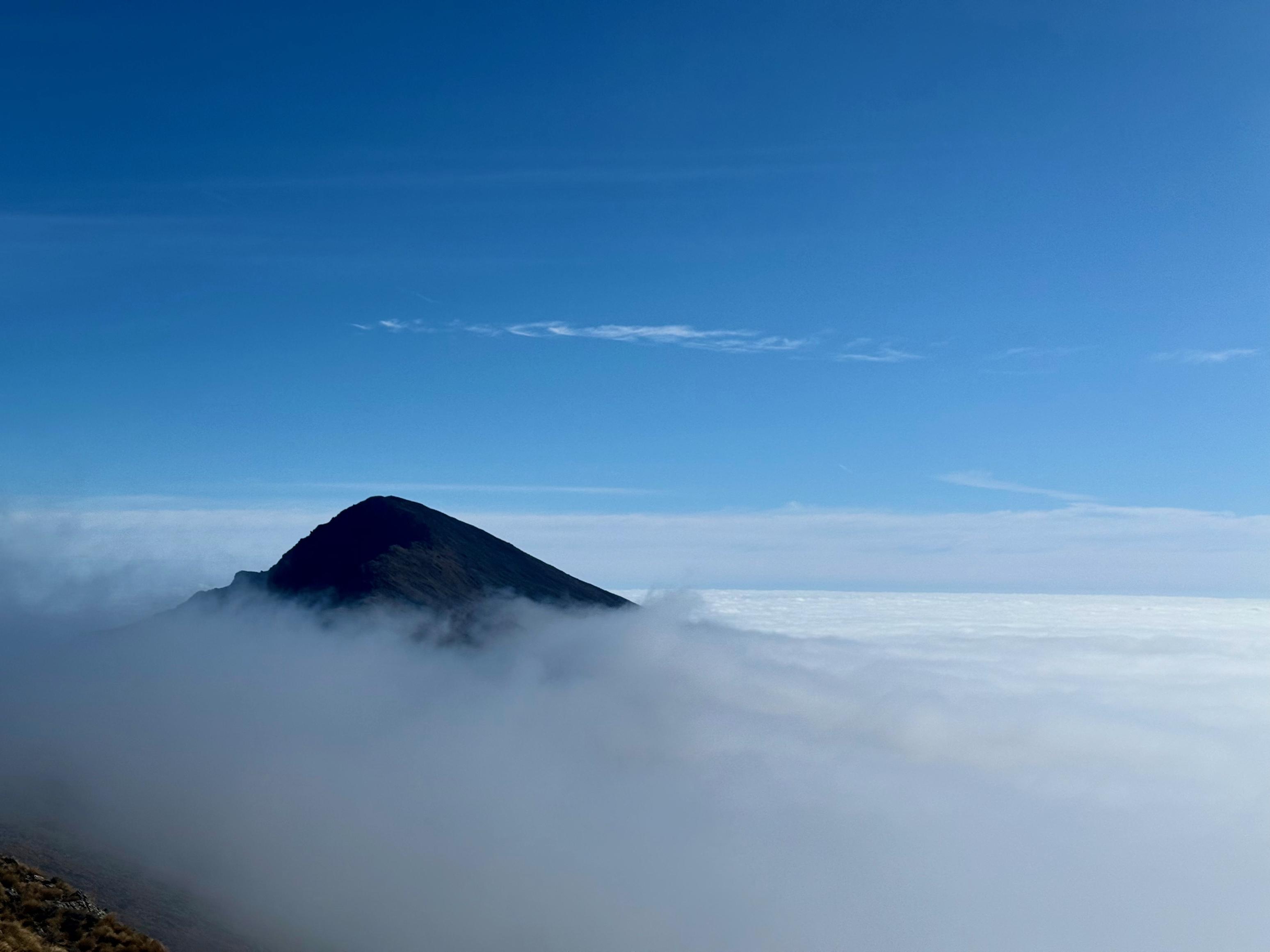
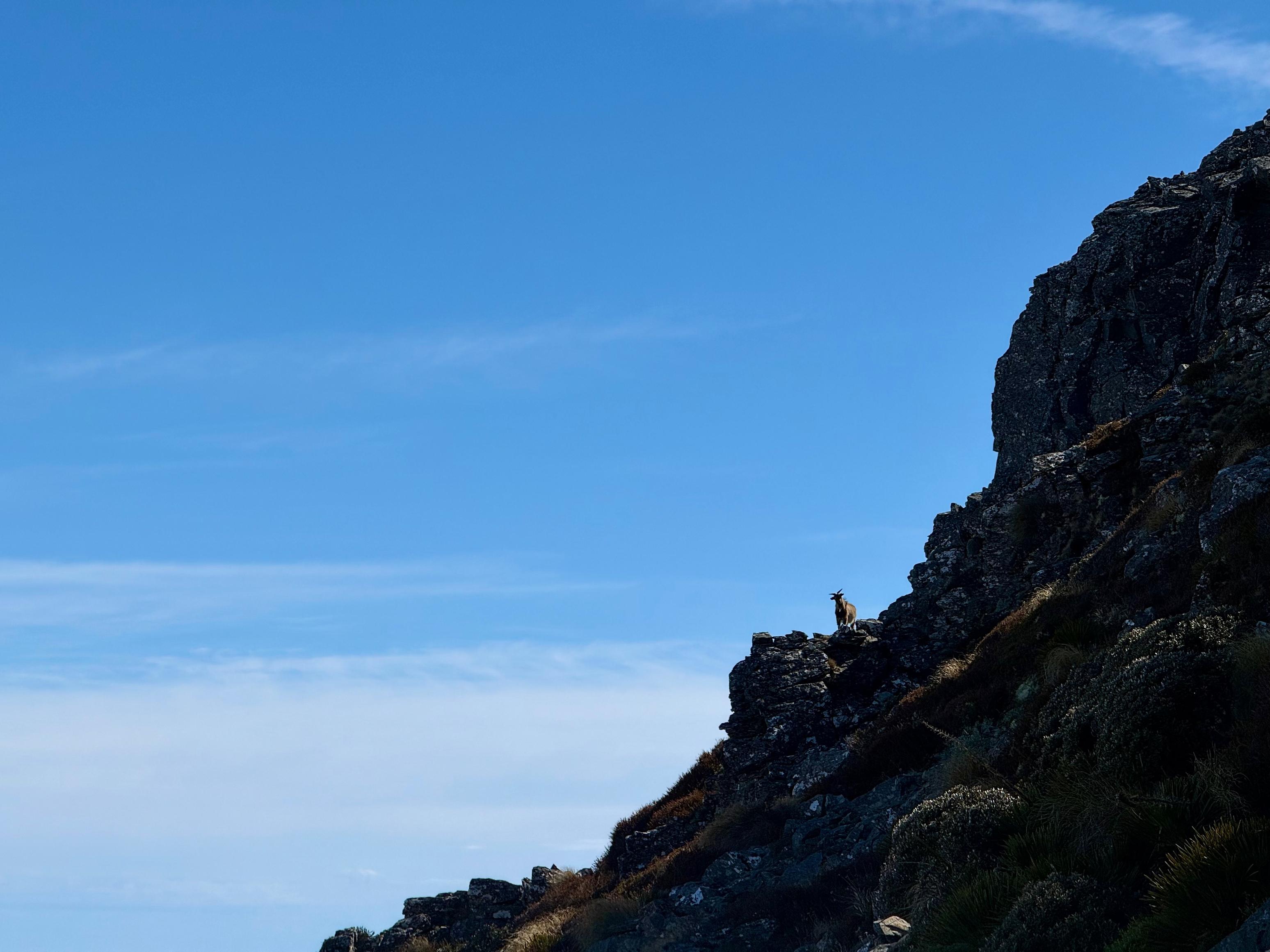
Once we got back to the track, it was a straightforward rock-hop to the saddle and then a steep but relatively short climb to Mt Richmond. The view was epic—finally! Having been beset by poor weather and clouds during this trip and our prior one in 2020, we were stoked to see some views.
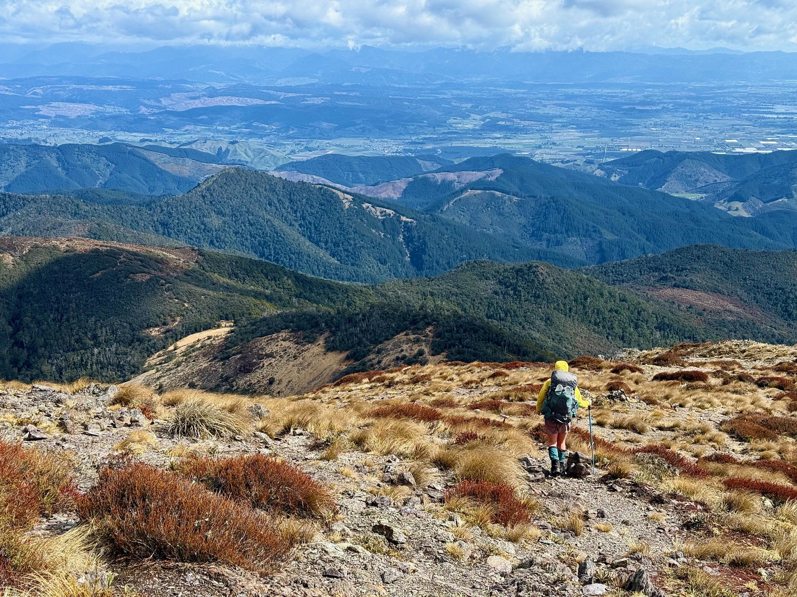
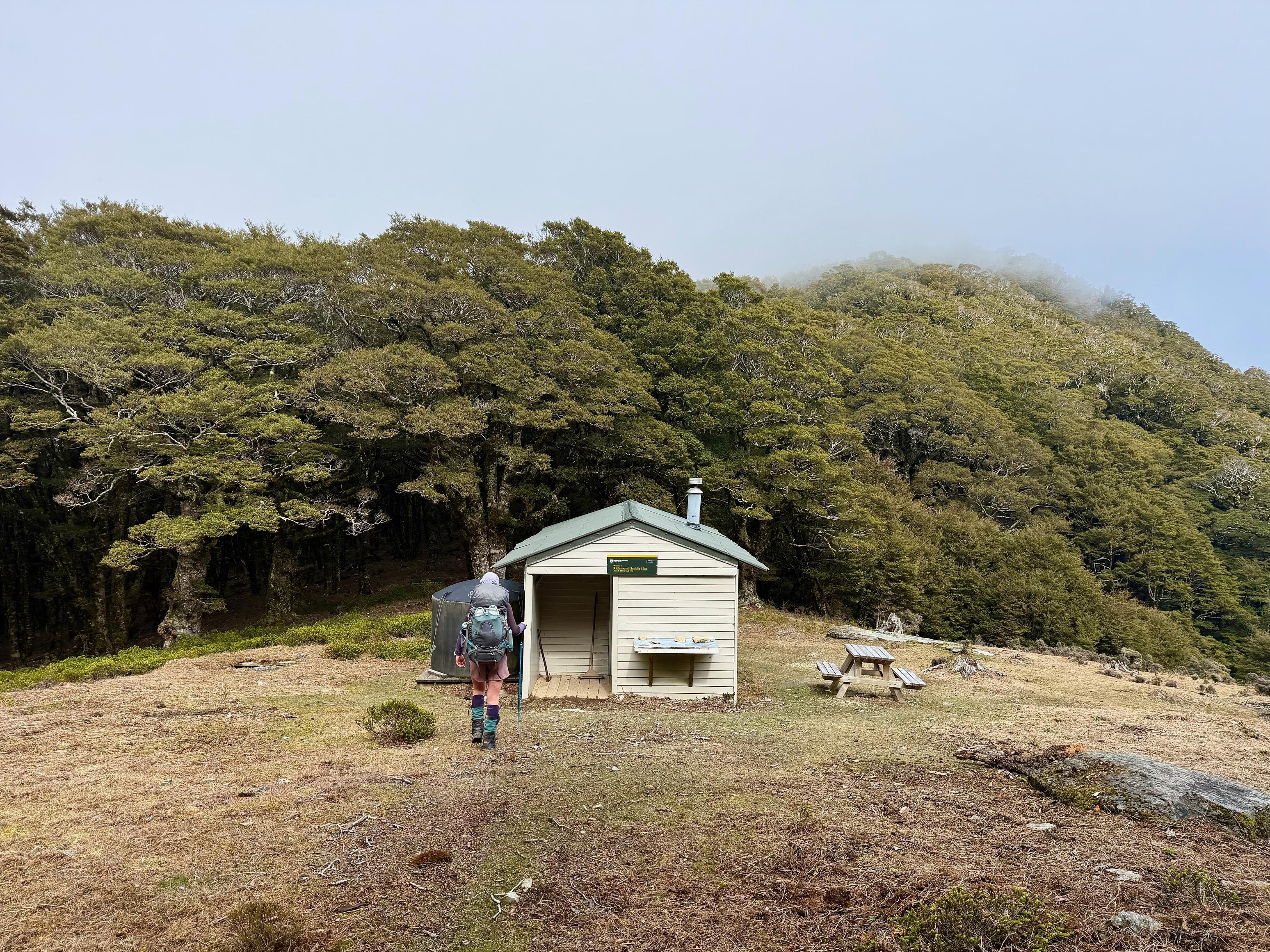
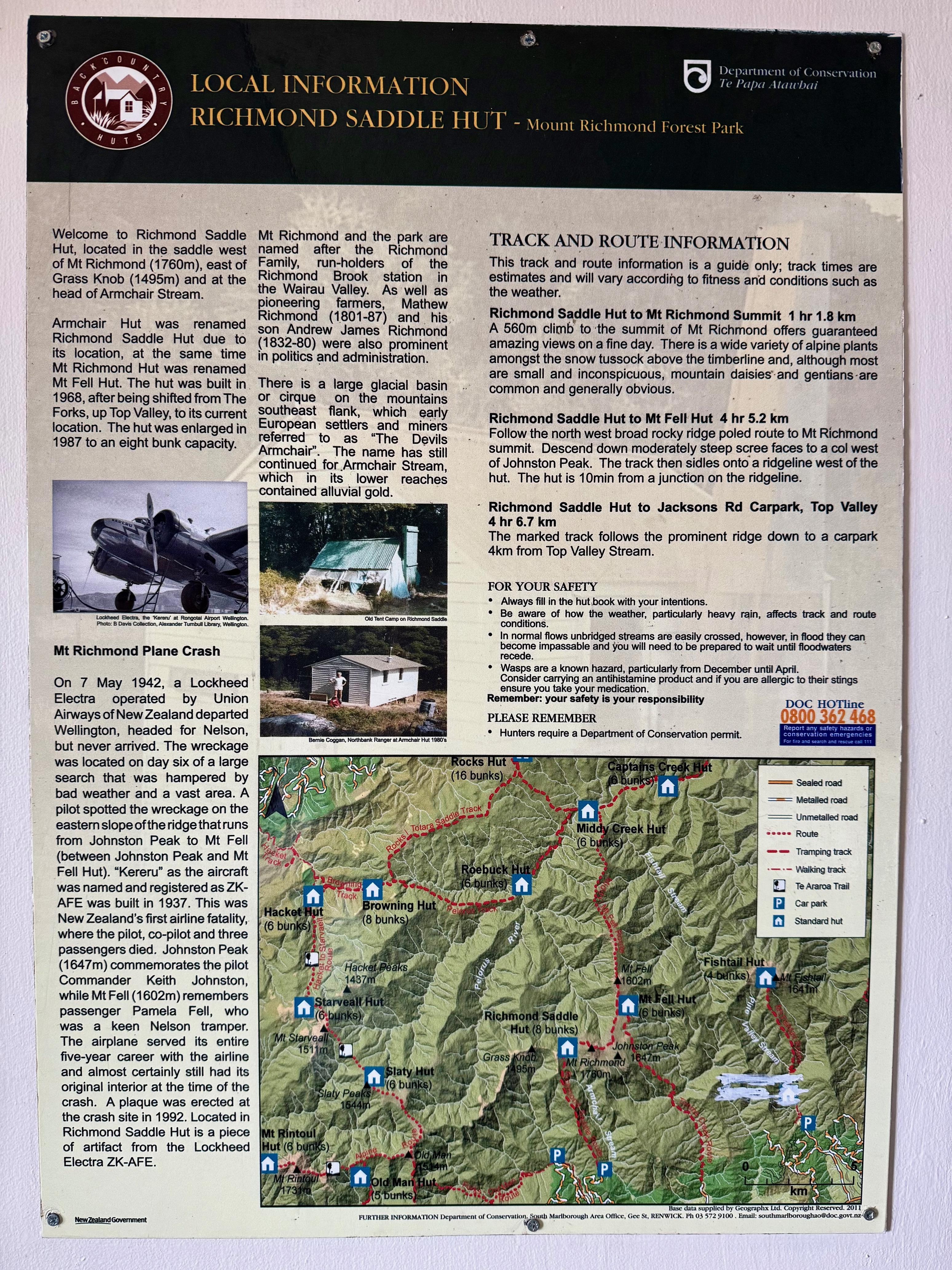
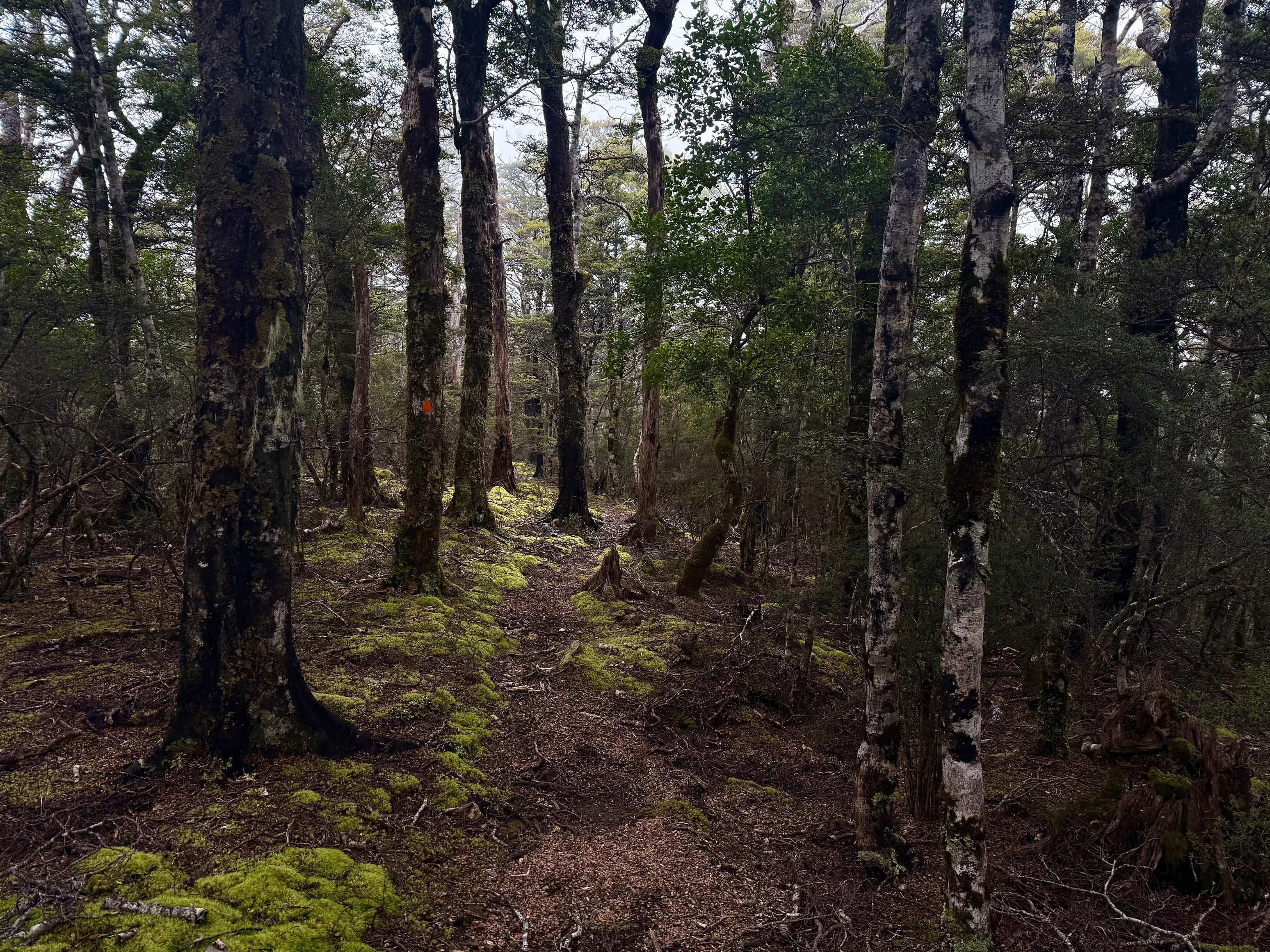
The descent down the west side of Mt Richmond to Richmond Saddle Hut was quite steep and the ground was unstable in sections, but by taking it slow, there is no real problem. That said, the quads were feeling a bit smashed by the time we reached Richmond Saddle Hut and we were pleased to have an early lunch. From there, the track sidles through the bush before reaching a great spur with a wide track that allows for fast travel. I assume the views would have been great if we weren’t in the cloud!
The last variation on this trip was to drop off at point 715 toward Wellington Mine in the bush below. This was because Richmond Saddle Road was closed when we left and because it would save us a little distance (and maybe time?). The bush was passable and there was a nice creek to navigate down for a while, but I really don’t think it saved us that much time. Still, pretty entertaining, even if Jen is covered in scrapes a few days later. Worth it.
☕️ Muesli & coffee
🥜 Nut bar & lollies
🌮 Hummus & cheese wrap
📷: Finn Le Sueur
📷: Finn Le Sueur
📷: Finn Le Sueur
📷: Finn Le Sueur
📷: Finn Le Sueur
📷: Finn Le Sueur
📷: Jen Rouse
📷: Finn Le Sueur
📷: Finn Le Sueur
📷: Finn Le Sueur
📷: Finn Le Sueur
📷: Finn Le Sueur
📷: Finn Le Sueur