Mt Rintoul
Activity Date:
Updated:
People:
Finn,
Jen
| Sat Oct 24, 2020 Download GPX Mt Rintoul Day 1 | 12.52km 4:52:46 | 2.57km/hr 1242m ⬆️, 597m ⬇️ |
| Sun Oct 25, 2020 Download GPX Mt Rintoul Day 2 | 15.99km 7:53:18 | 2.03km/hr 1594m ⬆️, 1523m ⬇️ |
| Mon Oct 26, 2020 Download GPX Mt Rintoul Day 3 | 19.66km 6:04:40 | 3.24km/hr 673m ⬆️, 1376m ⬇️ |
| Total | 48.17km 18:50:44 | 2.56km/hr 3509m ⬆️, 3496m ⬇️ |
Comments Section
Day 1: To Tarn Hut
With a nice three-day weekend lined up Jen and I wanted to do a three-day tramp. A rare opportunity during the school term for me. We drove to Blenhiem on Friday after work and arrived at a campground quite late. On Saturday we got up quite early and made our way down to the start of the track which is a rather long way down the North Bank of the Wairau River and then upstream of the Goulter River. It’s a lot of gravel driving, but worth it. Carpark Here: https://goo.gl/maps/ND13VQHCxm7MExLy9.
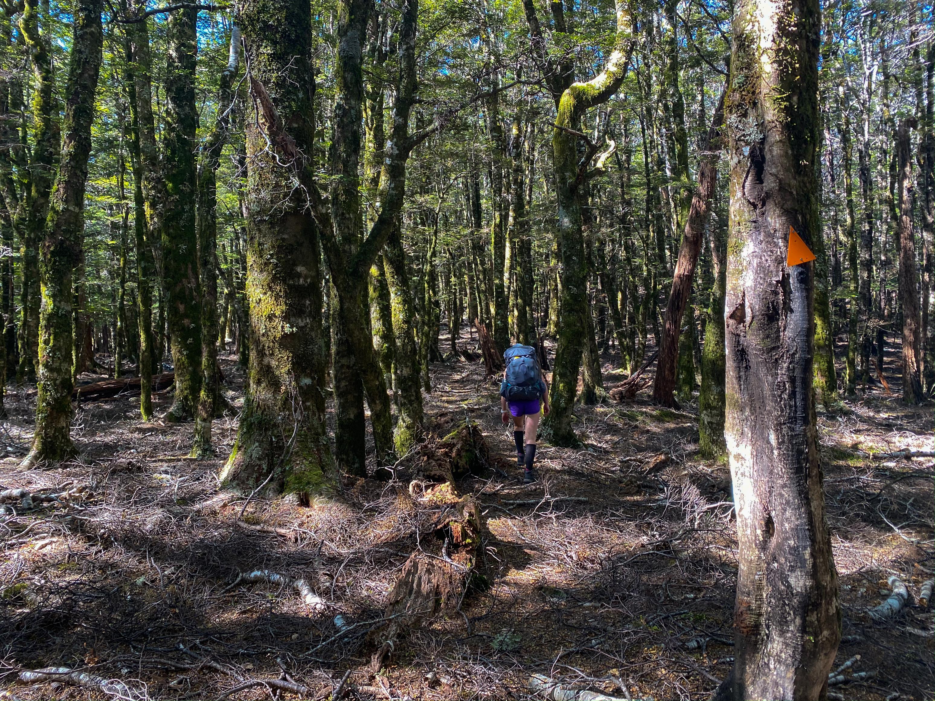
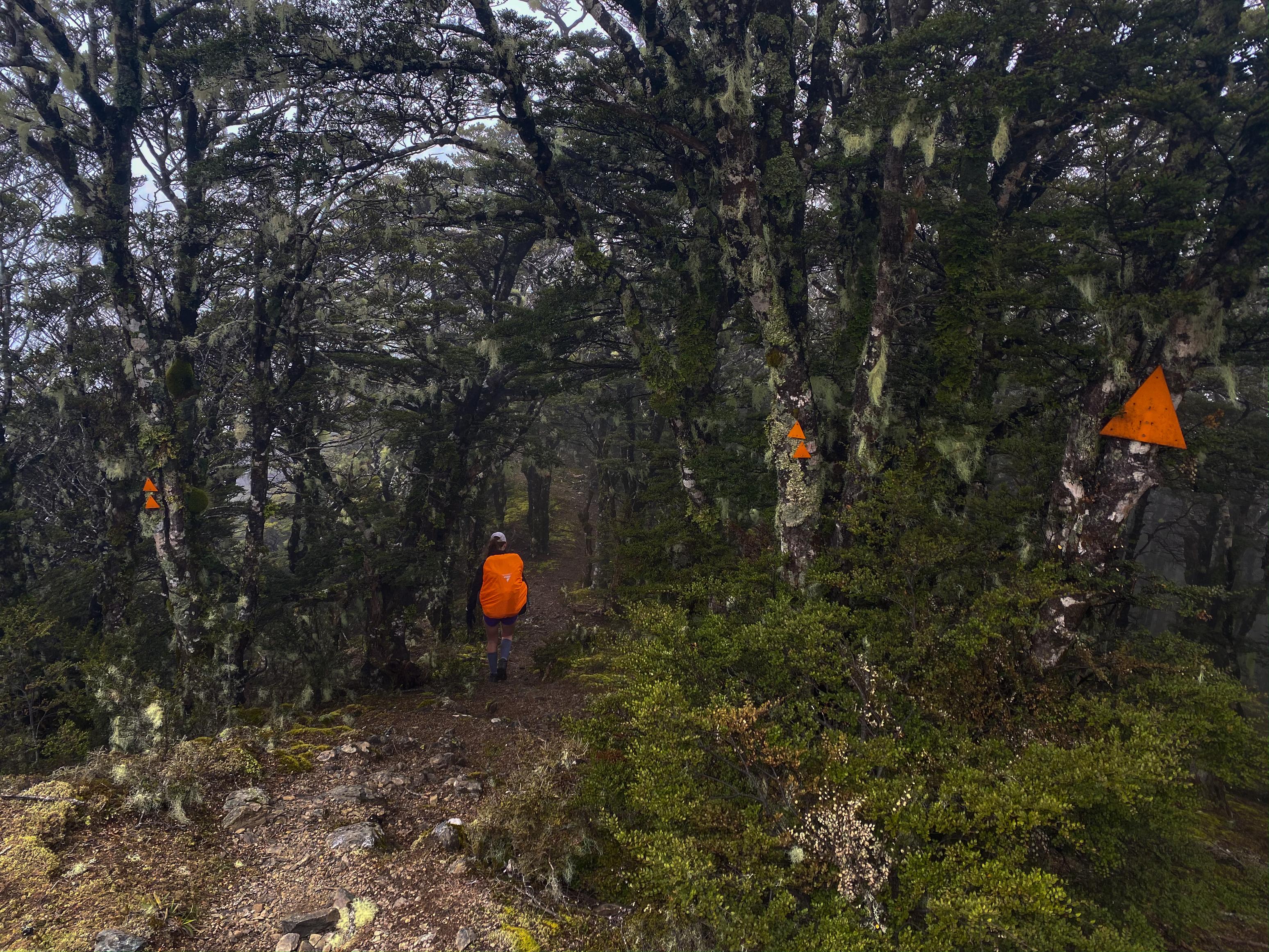
We started walking by 11:35am and it took us almost 5hrs to find our way to Tarn Hut. The track was actually reasonably good quality, so no wayfinding problems. The hard part comes in the 1200m+ of vertical climbing yuou do over those 12.5km. The first part of the track is deceptively nice alongside the Goulter River, but after crossing the river it climbs steeply to gain a ridgeline that will take you to Bushy Top. From there it eases off and you will find a couple of junctions which can take you along the Te Araroa to Mid Wairoa Hut.
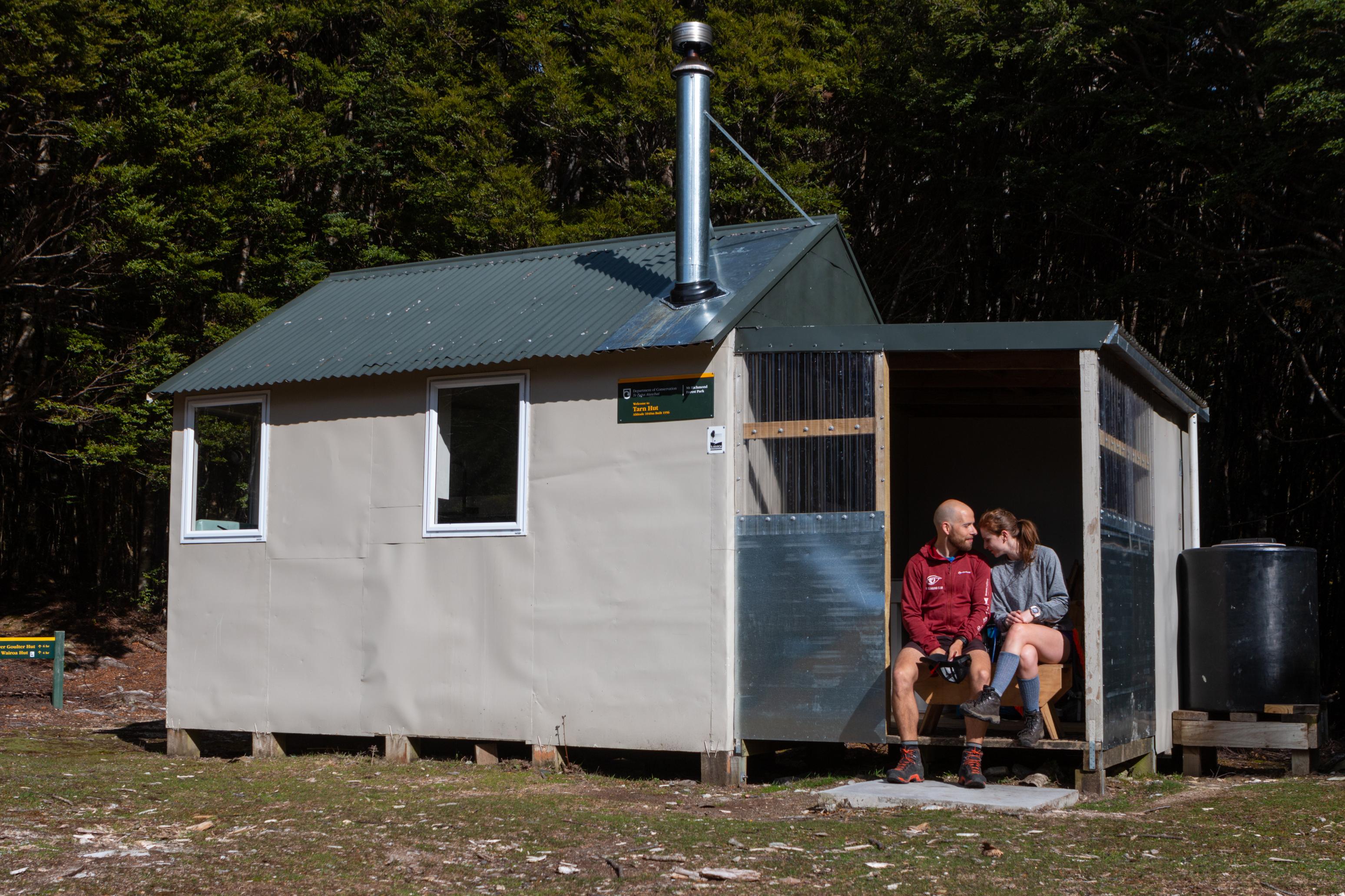
Tarn Hut itself is very cute and tidy and sits on the edge of a wonderful Tarn and a nice wide opening in amongst the trees. We enjoyed some afternoon sun there before retiring to the hut for the night.
📷: Finn Le Sueur
📷: Finn Le Sueur
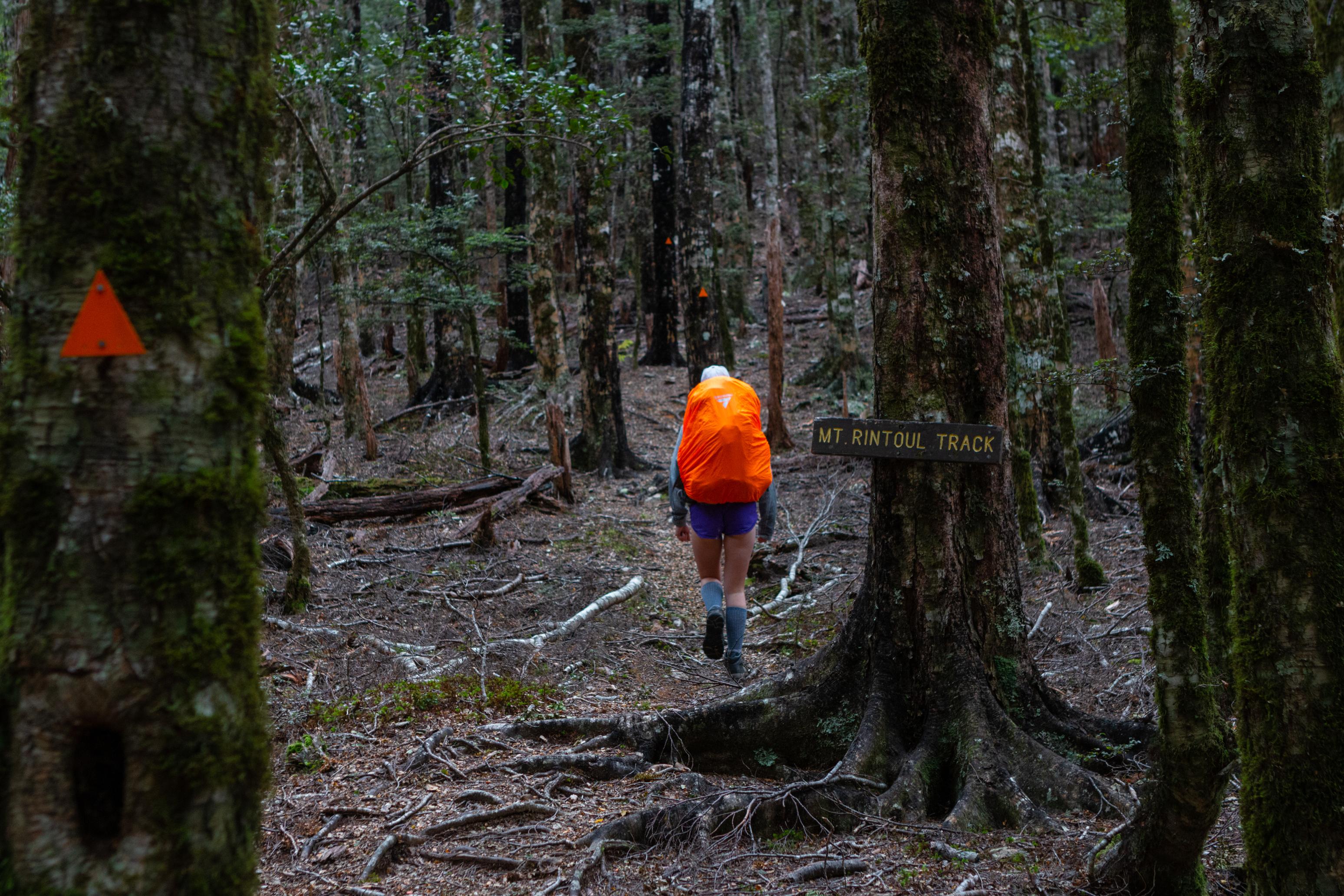
Day 2: To Old Man Hut
Overnight some clouds came in and unfortunately they just got worse as the day progressed. We started around 9:30am and made good time to Mt Rintoul Hut via Purple Tops. We spotted some goats around the hut as we arrived - very cute. While sheltering inside for lunch a Te Araroa hiker arrived. He didn’t look like he was having a very good time!
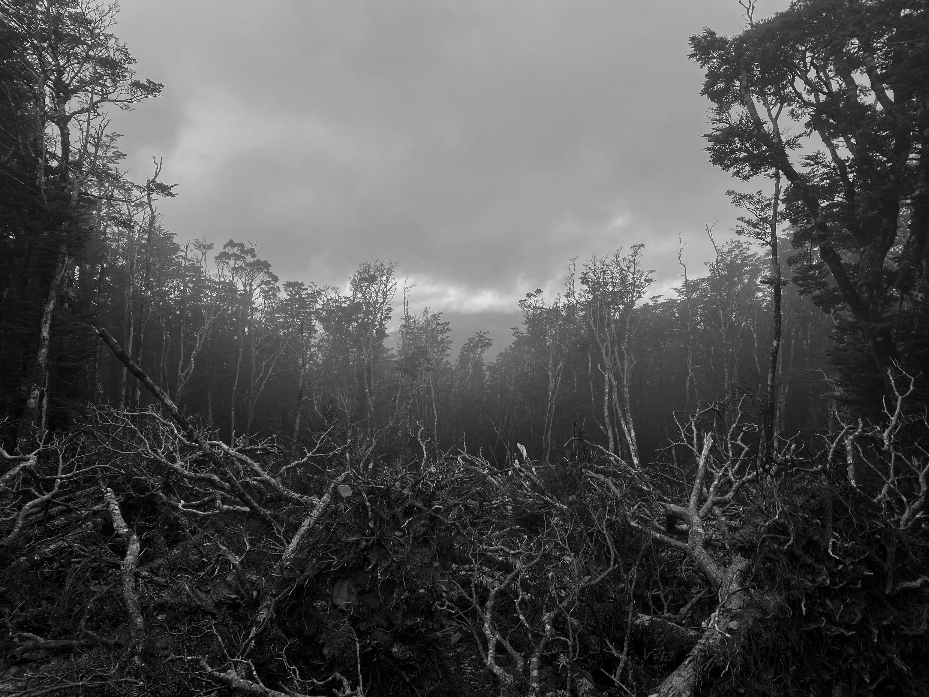
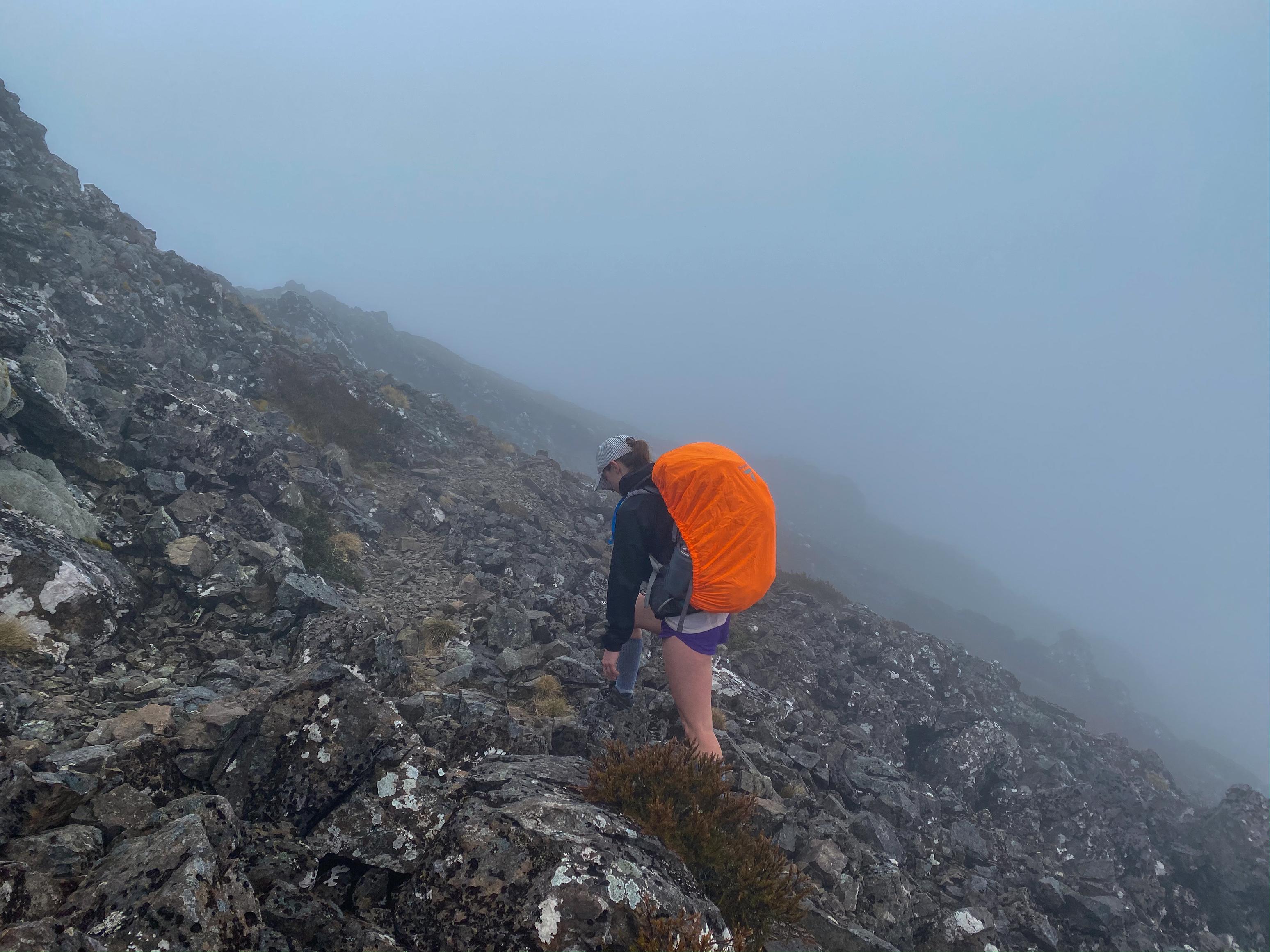
We set off again from Mt Rintoul Hut only to be permanently stuck in the clouds with not a sight to see. The track climbs steeply towards the summit and becomes rocky and screey for a few kilometeres. There is a bit of a rough descent from Rintoul to a small saddle before re-climbing back to Point 1643. The scree here turns into blocky rock and the going was very slow. It was at this point that the cloud started to feel like rain, and the morale was running a bit low. Thankfully we could see from the map that as soon as we gained the bushline from Point 1643 it was only a couple of kilometers to Old Man Hut where we were looking forward to being inside.
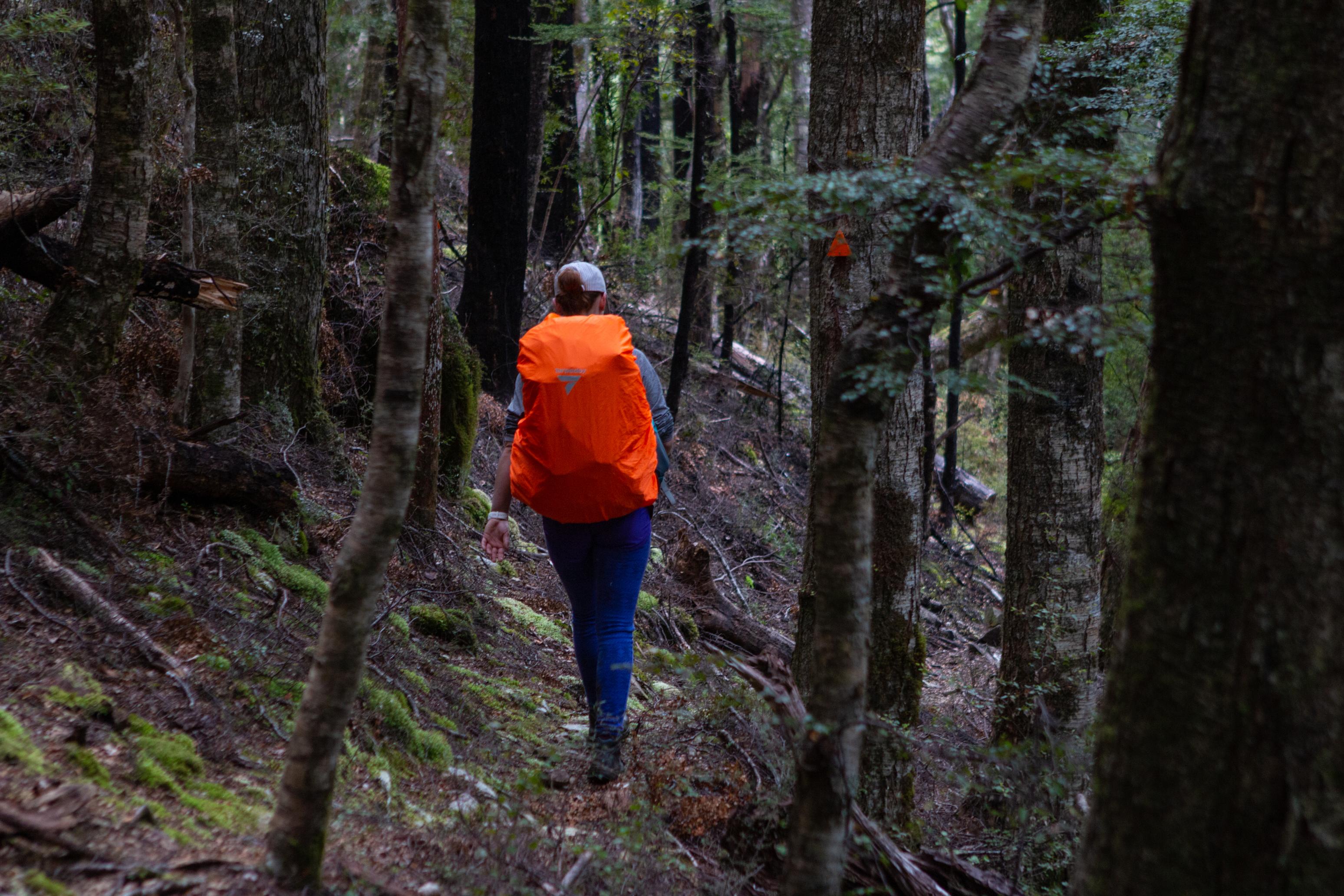
As we descended out of the cloud towards the bush the rain actually arrived. Turns out it was just the dampness of the cloud beforehand and now we were getting properly wet. Ah well. We arrived to find a group of four guys at the hut which meant someone was sleeping on the floor (no big deal). Thankfully they had been there for a couple of hours and the hut was toasty. Perfect! We squeezed on in and proceeded to have a very nice warm evening.
📷: Finn Le Sueur
📷: Finn Le Sueur
📷: Finn Le Sueur
📷: Finn Le Sueur
Day 3: Out via Mid Goulter Hut
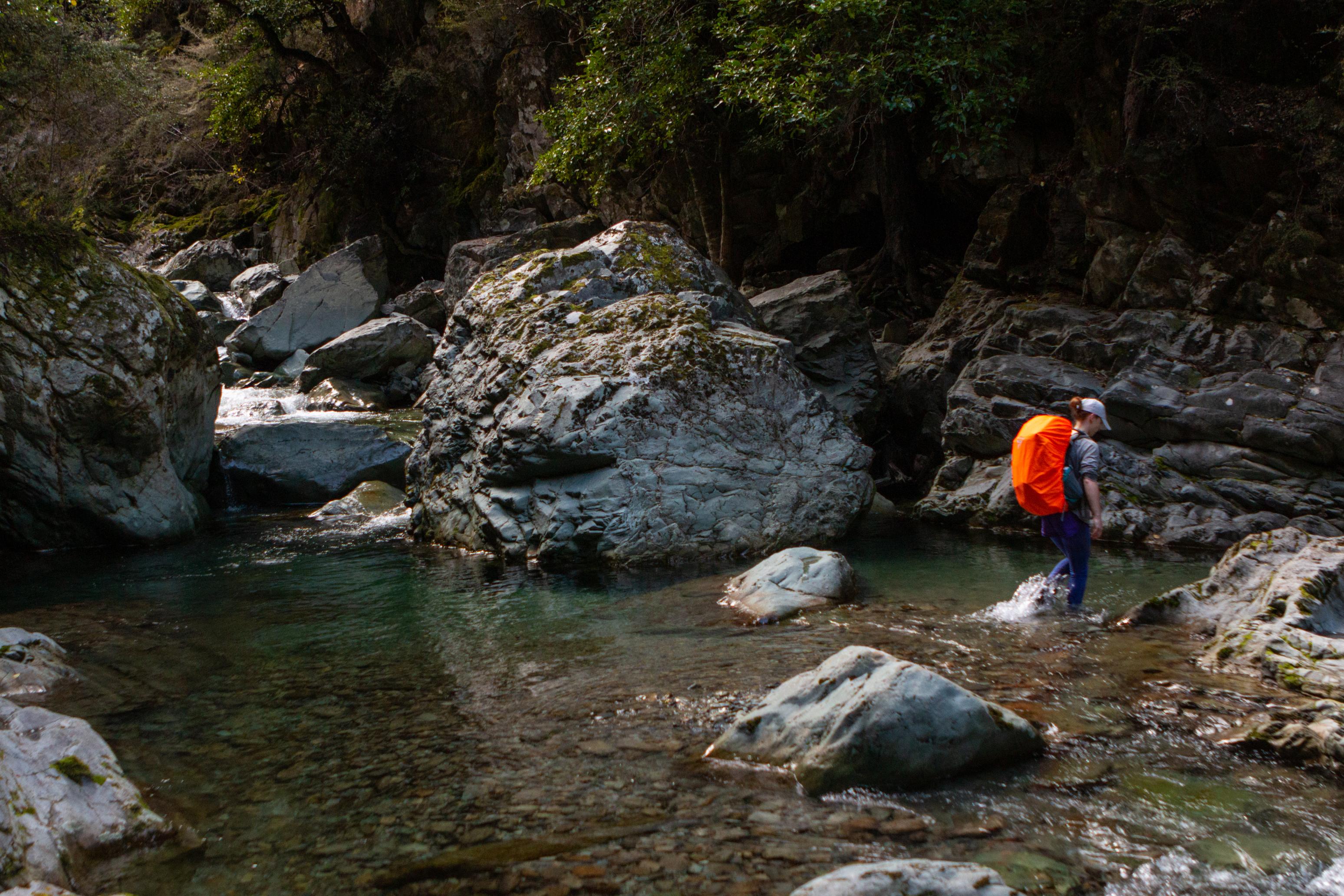
From Old Man Hut the track descends quite directly through the forest to an unnamed stream. It soon merges with a stream coming down from Lake Chalice and forms the Goulter River. After this confluence the steepness of the track subsides and it undulates alongisde the river for the rest of the (long) hike out. By the time we reached Mid Goulter Hut we had realised that if only we were into packrafting we could be floating down The Goulter having a much nicer time, but instead we continued to plod along this relatively unremarkable section of track. The track passes Lower Goulter Hut and re-traces the same first section of track from Day 1!
📷: Finn Le Sueur
📷: Finn Le Sueur
Overall we had a great time with the track and while the climbing on Day 2 across Mt Rintoul was gruelling it would be worth it on a day with a view! For us, it definitely felt a little less worth it.
Perhaps one day we will be back to do some other part of the Richmond Range in good weather! ☀️