Lake Morgan
Activity Date:
Updated:
People:
Finn,
Jen,
Justin,
Francie,
Katherine
| Sat Oct 22, 2022 Download GPX Lake Morgan D1.1: To Lake Morgan Hut | 13.58km 7:30:02 | 1.81km/hr 1605m ⬆️, 734m ⬇️ |
| Sat Oct 22, 2022 Download GPX Lake Morgan D1.2: Up to the Lake to Camp ⛺️ | 1.36km 0:37:01 | 2.21km/hr 176m ⬆️, 35m ⬇️ |
| Sun Oct 23, 2022 Download GPX Lake Morgan D2: Over to Jacko Flat Hut | 12.97km 7:09:54 | 1.81km/hr 599m ⬆️, 1411m ⬇️ |
| Mon Oct 24, 2022 Download GPX Lake Morgan D3: Out the Crooked | 15.85km 6:36:54 | 2.40km/hr 815m ⬆️, 1091m ⬇️ |
| Total | 43.76km 21:53:51 | 2.00km/hr 3195m ⬆️, 3271m ⬇️ |
Comments Section
Day 1: Lake Morgan
13.58km (1605m 🆙, 734m🔻) in 7hr 30min @ 1.81km/hr.
Detailed Timings
- 0:28hrs to Brian O’Lynne turnoff (2.46km)
- 2:10hrs to Lunch spot (3.44km)
- 3:54hrs to Mt O’Shanessy (5.5km)
- 1:00hrs to Lake Morgan Hut (2.18km)
- 0:37hrs to Lake Morgan (2.2km)
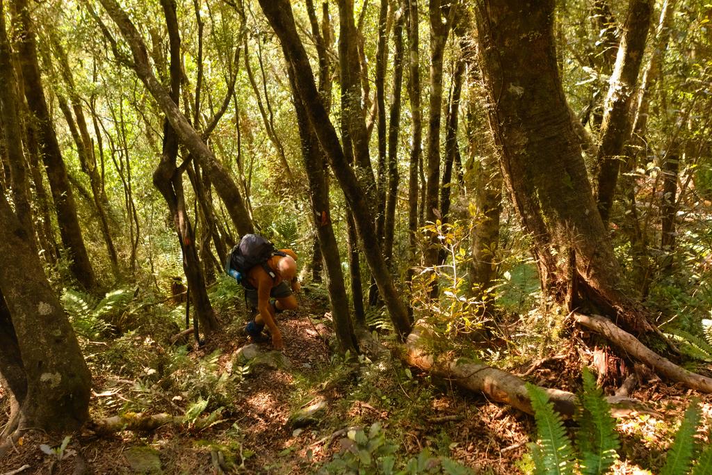
Once we signed in at Gloriavale Christian Community we parked the car and got started. The track starts as a 4WD one before taking a sharp right hand turn up the Brian O’Lynne track. This track is very steep with little to no respite until a lunch spot above the treeline. It’s not particularly airy but would be a quad destroyer coming down. The scrub is dense above the treeline but Justin Le Sueur (dad) has done some trimming in 2022. There is much more to be done but the track is well marked through the trees and scrub. After the lunch spot it enters low scrub and the track fades away as people make their own way across the tops. In the distance you can Point 1251 which is very jagged. It is worth getting a closer look here but don’t forget to side underneath the final point to the saddle and Point 1196. If it is cloudy don’t bother heading for the ridgeline for nice walking and views but instead slowly sidle down towards the saddle.
On both sides of P1196 the scrub is very dense and overgrown. Dad talked of camping nearby and spending a couple of days clearing it. From the saddle you climb sleepy towards Mt O’Shanessy. The climb is not as onerous as first thought and you will reach the summit sooner than expected. It’s a bouldery affair, but not scarily so. The very top is extremely nice and not at all exposed. From here you get an excellent panoramic view back the way you came, down to Lake Morgan Hut, Lake Morgan itself and P1489 at the head of the lake.
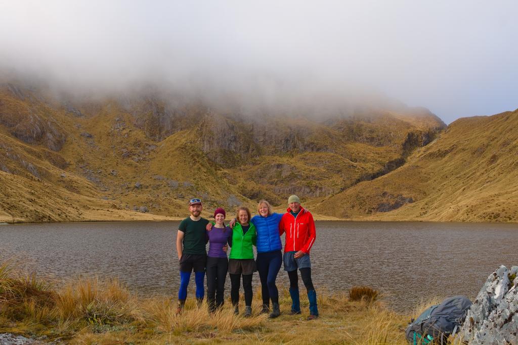
The descent from O’Shanessy down its south spur is steep and would require care in wet/snowy conditions. The gradient eventually eases off and you soon find the hut. We had bumped into a party of 4 headed to stay at the hut so stopped in for a cup of tea before heading up to Lake Morgan proper to camp. We found a suitable site for two at the north end on a tiny wee peninsula.
📷: Finn Le Sueur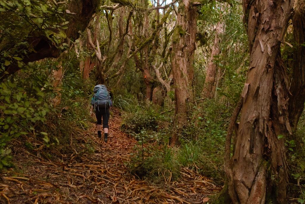
📷: Finn Le Sueur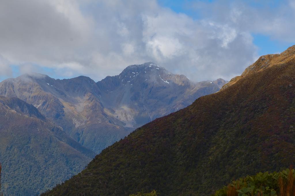
📷: Finn Le Sueur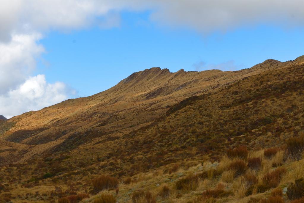
📷: Finn Le Sueur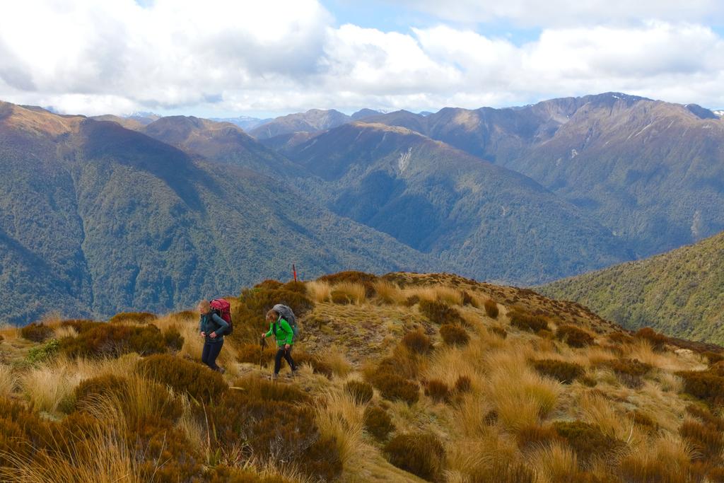
📷: Finn Le Sueur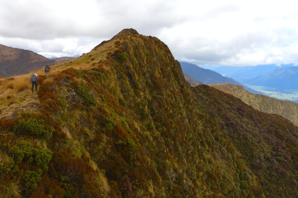
📷: Finn Le Sueur with Mt O'Shanessy in the background.](https://imagor.lesueur.nz/zWEVMZYuBosmONW_CdYRhzXaqy0=/fit-in/1024x/blog/lake-morgan/IMG_8573.jpg)
📷: Finn Le Sueur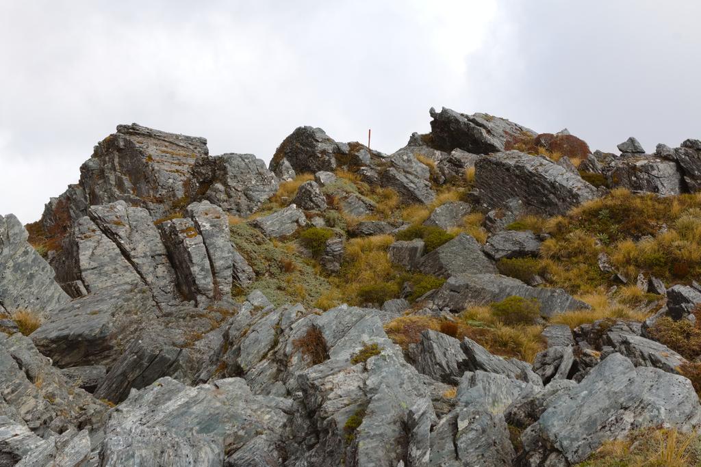
📷: Finn Le Sueur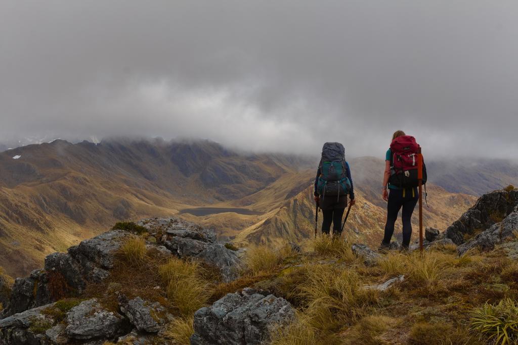
📷: Finn Le Sueur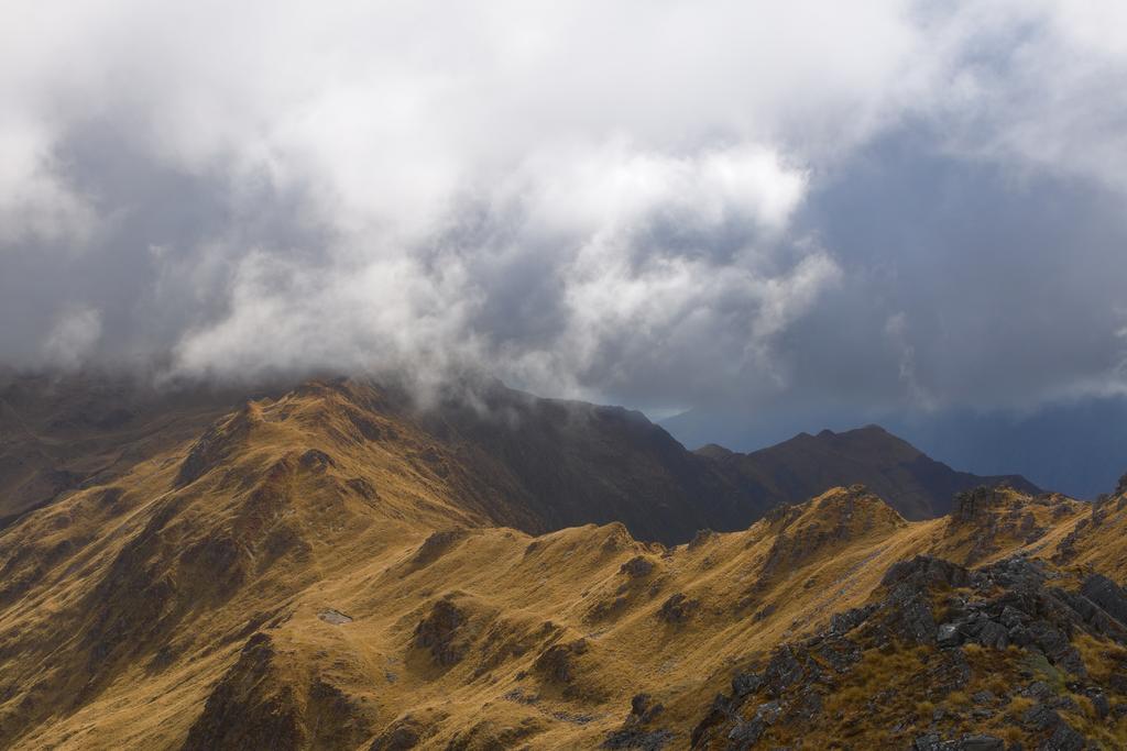
📷: Finn Le Sueur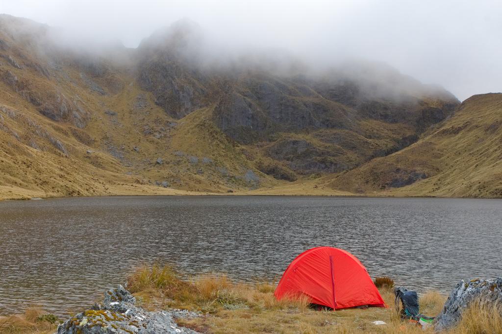
📷: Finn Le Sueur
Day 2: Jacko Flat Hut
12.97km (599m 🆙, 1411m🔻) in 7hr 9min @ 1.81km/hr.
Detailed Timings
- 1:02hrs to Point 1489 (1.4km)
- 0:45hrs to first/last waratah (1.83km)
- 0:47hrs to bushline (1.43km)
- 1:28hrs to Top Crooked (1.34km)
- 2:37hrs to Jacko Flat Hut (7km)
It is a quick sidle to pass Lake Morgan on the east side and a slow climb to the saddle between P1422 and P1489. The slow climb is mostly due to poor ground visibility through long grass (and spaniards). From there the climb up to 1489 is straightforward. Take the ridge line for a while before moving onto the tussocked faces to gain the top. From here is an excellent view of the surrounding valleys!
The travel along the tops to the first waratah is very straightforward with only a few outcrops of rocks to cross. Once the first waratah is reached the navigation is simple. They are well placed and easy to follow. The gradient becomes rather steep through here, and as before, if in wet/snowy conditions, care would be needed.
The track moves into the shrubs soon enough and orange triangles are plentiful - although you would really have to try to get off “chute”. Clamber slowly and carefully down the well trimmed track to reach Crooked River. Jen found facing into the hill and climbing that way very efficient, while Finn faced out to the valley, moved slower, and did a lot of swearing at slippery rocks and loose ground.
The hut is a couple of minutes from the bush and in quite a nice locale. The hut book goes back to ‘91 and we were the 6th party to visit this year. Pretty neat. Unfortunately Jen took a wee fall in the river and nailed her knee on a rock. Feeling a bit worse for wear we trudged on down towards Jacko Flat Hut. We did not initially find the track and instead meandered down the river. Once we found a triangle and got on the track the going was a bit quicker as the track is relatively well formed. There were only a couple of unclear sections. The track has a number of sharp ups and downs as it climbs in and out of creeks and when it exits the riverbed in a hurry. We were feeling quite pooped and were moving rather slowly through here.
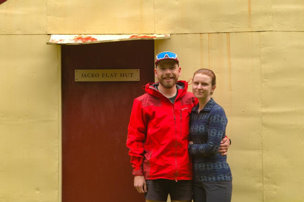
With dark clouds were roiling over the Kaimata Range, with Mt Alexander and Mt Howe well hidden in the grey, we were quite thankful to reach the hut in the mid-afternoon. I chopped a lot of firewood, had a coffee, some chocolate (most of a block) and lay down on a very mouldy mattresses. They need new covers ASAP! The fire is of the open style and vents into hut a bit. Crack a window to help it draw and light the fire as far back as practical in the hearth.
📷: Finn Le Sueur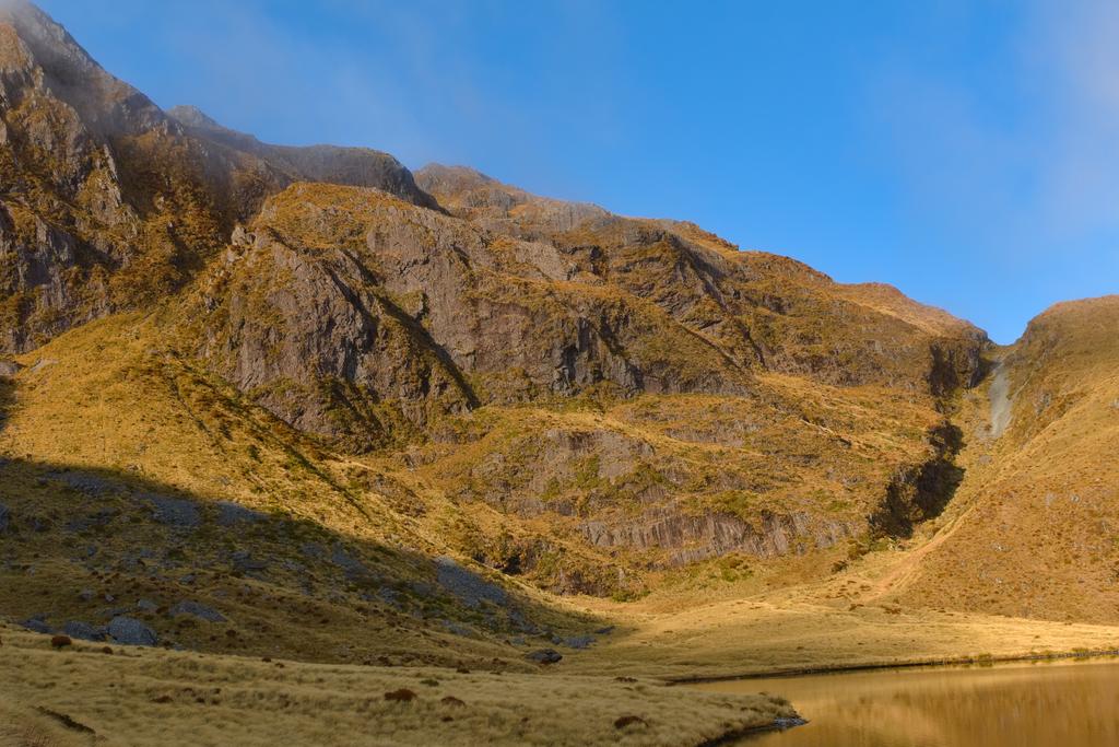
📷: Finn Le Sueur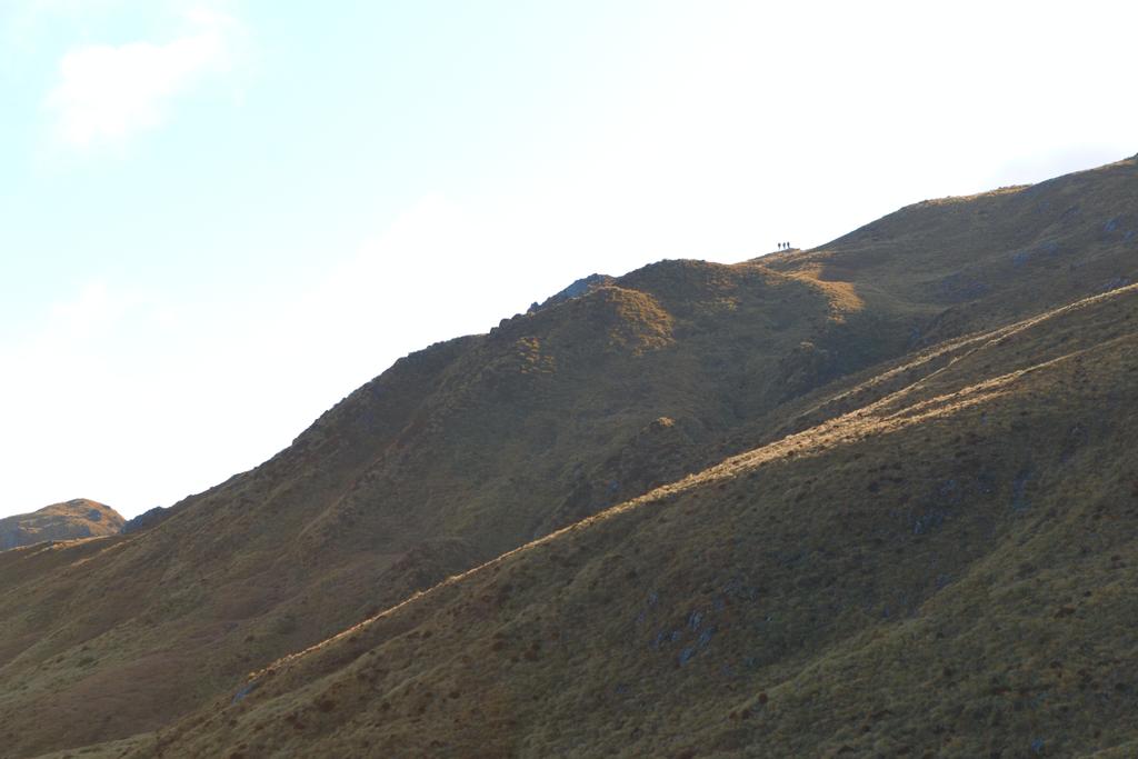
📷: Finn Le Sueur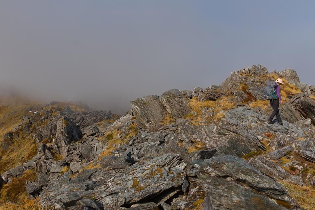
📷: Finn Le Sueur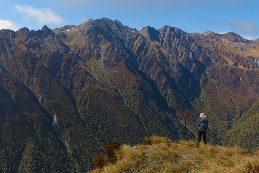
📷: Finn Le Sueur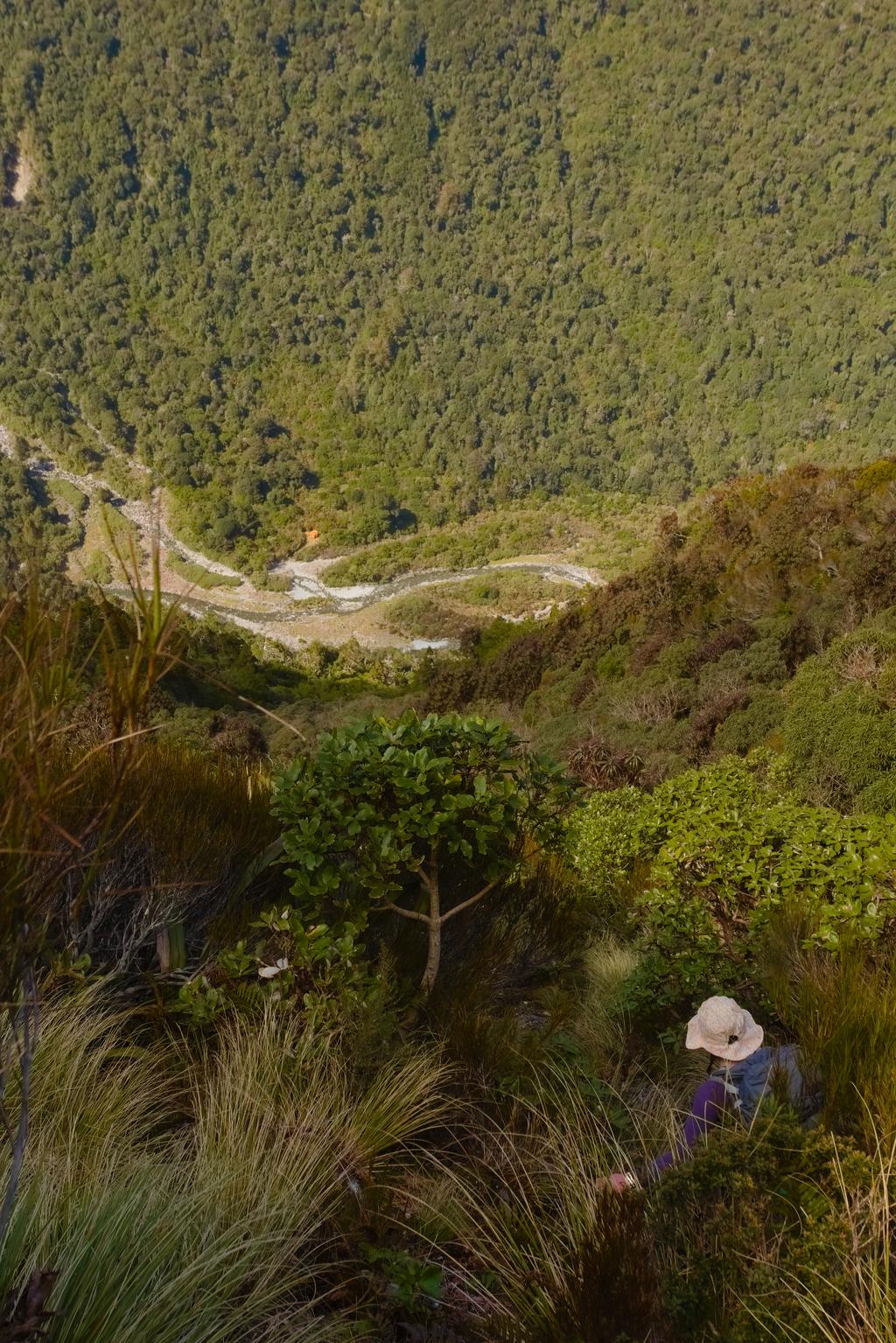
📷: Finn Le Sueur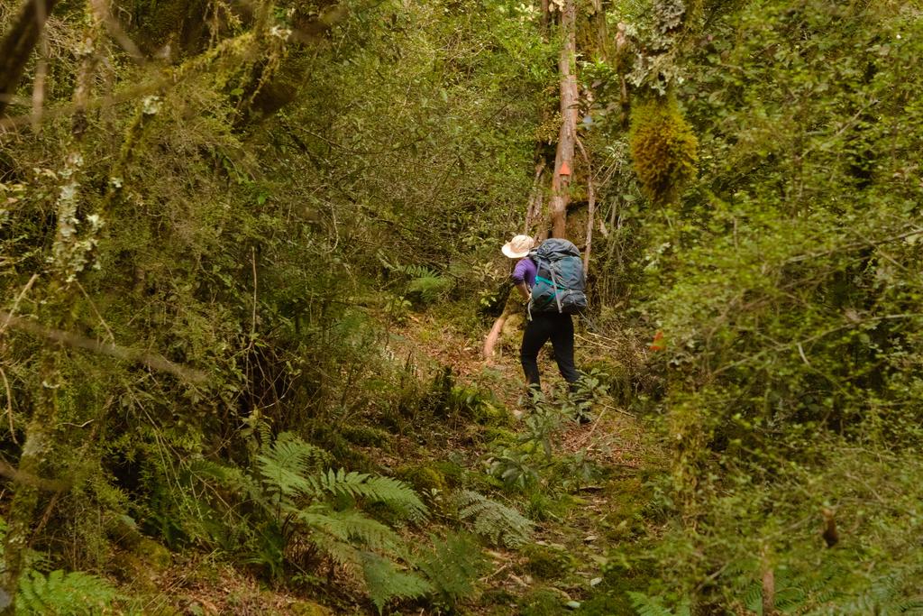
📷: Finn Le Sueur
Day 3: Out to Windy Point
15.85km (815m 🆙, 1091m🔻) in 6hr 36min @ 2.40km/hr.
Detailed Timings
- 2:30hrs to Morgan River confluence (5.15km)
- 3:35hrs to old Rotomanu - Kopara Road (7.6km)
- 0:33hrs to Car (3.1km)
The track on this day is pretty rough, rougher than the section from Top Crooked Hut. It spends time near the riverbed but mostly takes you through the forest above Crooked River. It has no qualms about climbing steeply in and out of stream gullies and away from gorge sections of the Crooked River.
On the odd occasion that it drops you onto the side of the river you should continue to walk downstream while looking carefully at the bush for an orange triangle to indicate your way back up. These are not always obvious! One particularly rude triangle was small and well hidden in the bush. We almost missed it.
As noted on Remote Huts - Jacko Flat, the track is currently very overgrown, the groundtrail is not obvious, and there is a good amount of treefall which at times, obscures very helpful triangles. We wasted a lot of time losing the trail and having to try find it again. With a good trim it would be navigable in closer to five hours as opposed to six plus.
Take every opportunity to look down into Crooked River as the gorge is truly beautiful. We heard from a family friend that some Whio / Blue Duck had been spotted on the river but we didn’t see them. We also read online that some interest in the track and Jacko Flat Hut was expressed by some whitewater kayakers and I can see why - those rapids go hard!
The walk down the old Rotomanu - Kopara Road was very relaxed and in remarkably good condition.
Overall this was a pretty epic trip with stunning scenery, lush bush and wonderful rivers. It was doable as a three-day trip but would be more pleasant if you took it a little slower and perhaps stayed at Top Crooked Hut.
📷: Finn Le Sueur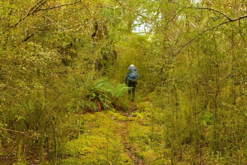
📷: Finn Le Sueur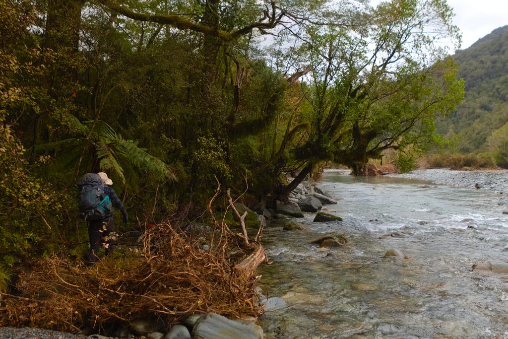
📷: Finn Le Sueur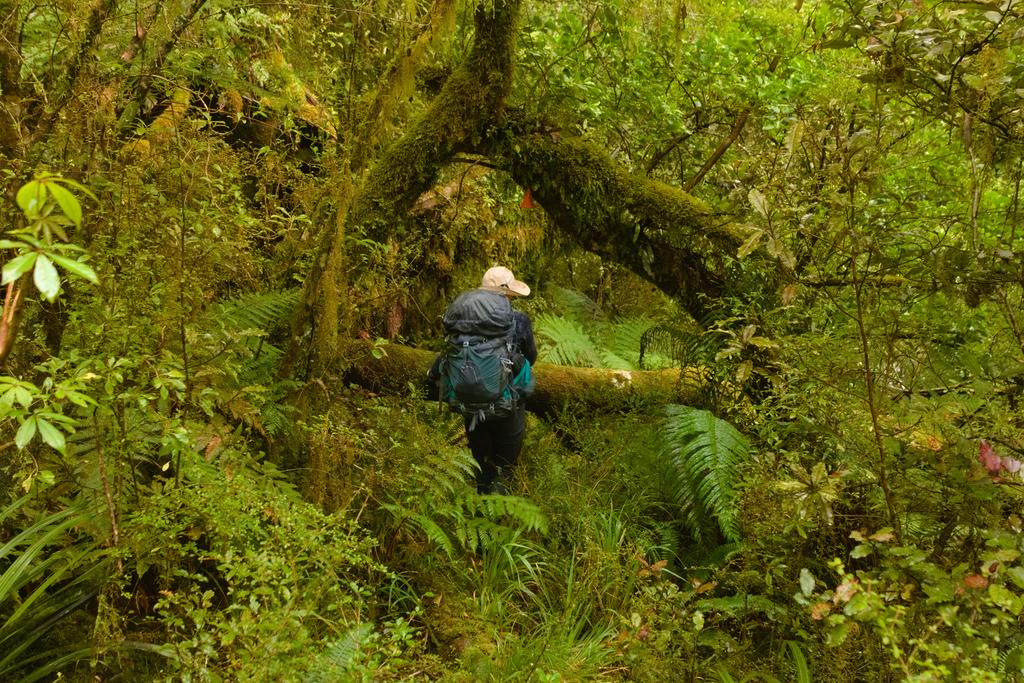
📷: Finn Le Sueur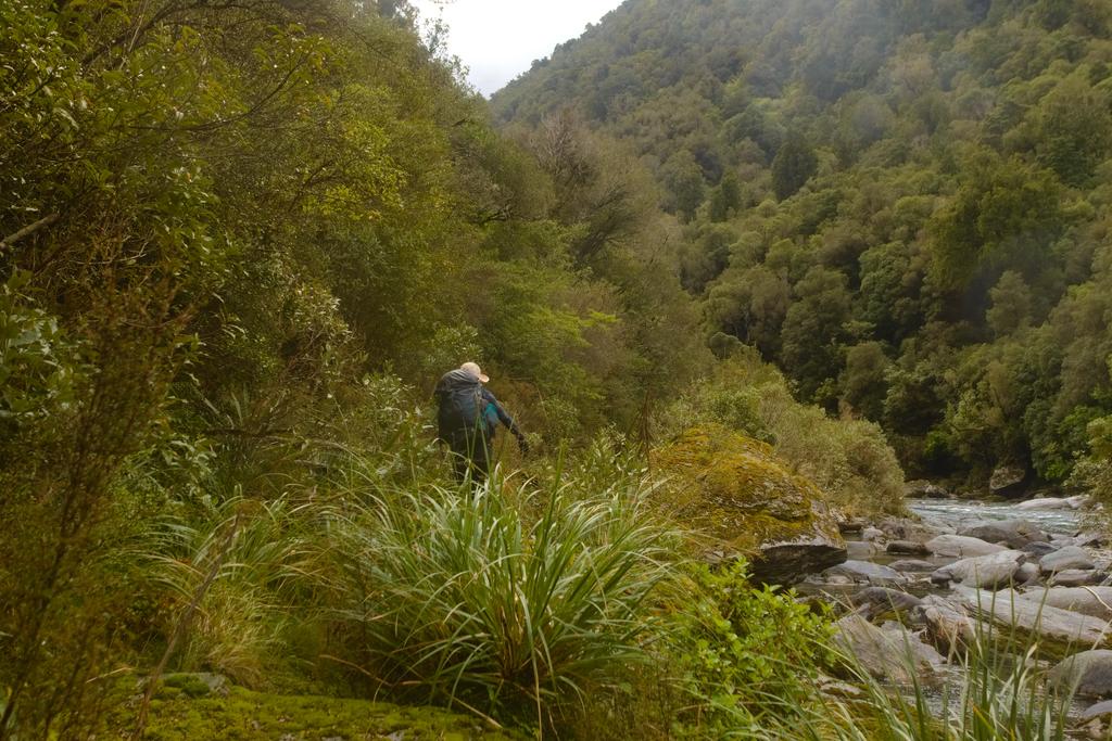
📷: Finn Le Sueur