Lake Man Circuit
Activity Date:
Updated:
People:
Finn,
Jen
| Sat Sep 24, 2022 Download GPX Lake Man D1: To St Jacob’s Hut | 19.10km 4:38:14 | 4.12km/hr 639m ⬆️, 477m ⬇️ |
| Sun Sep 25, 2022 Download GPX Lake Man D2: Over to Doubtless Hut | 15.49km 6:06:14 | 2.54km/hr 921m ⬆️, 851m ⬇️ |
| Mon Sep 26, 2022 Download GPX Lake Man D3: Out to Windy Point | 18.04km 3:51:33 | 4.68km/hr 342m ⬆️, 557m ⬇️ |
| Total | 52.64km 14:36:01 | 3.61km/hr 1902m ⬆️, 1885m ⬇️ |
Comments Section
Day 1: St Jacob’s Hut
19.10km (639m 🆙, 477m🔻) in 4hr 38min @ 4.12km/hr.
Detailed Timings
- 0:18hrs to Tui Track junction (1.1km)
- 2:09hrs to Hope Halfway Hut (8.8km)
- 1:25hrs to Hope River bridge / Hope Pass Tracks (5.3km)
- 0:46hrs to St Jacob’s Hut (3.6km)
After much agnoising over what trip we were to do, we decided on this very nice looking loop. We liked it because it wasn’t too dependent on river levels and because it was a proper loop - no shuttle needed!
We drove in to Windy Point from Hanmer Springs having stayed the night there and got an extremely good coffee from Powerhouse Cafe & Restaurant. The carpark is large and partially visible from the road. There is also a new looking long drop toilet there, which is super convenient.
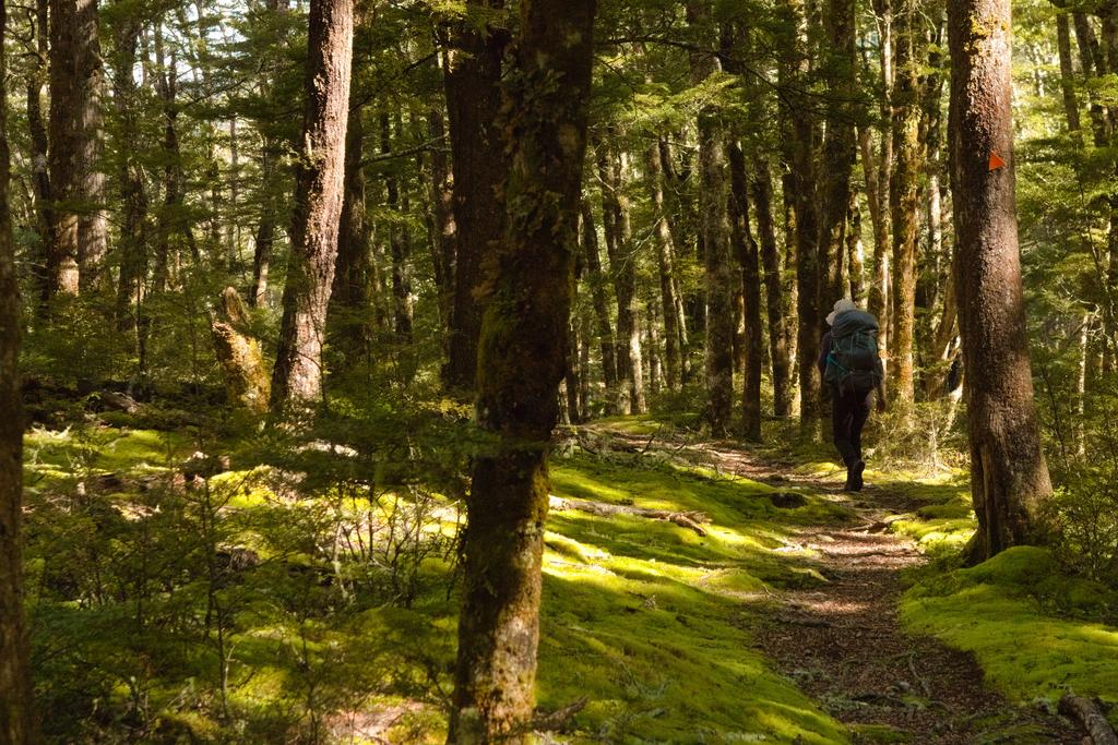
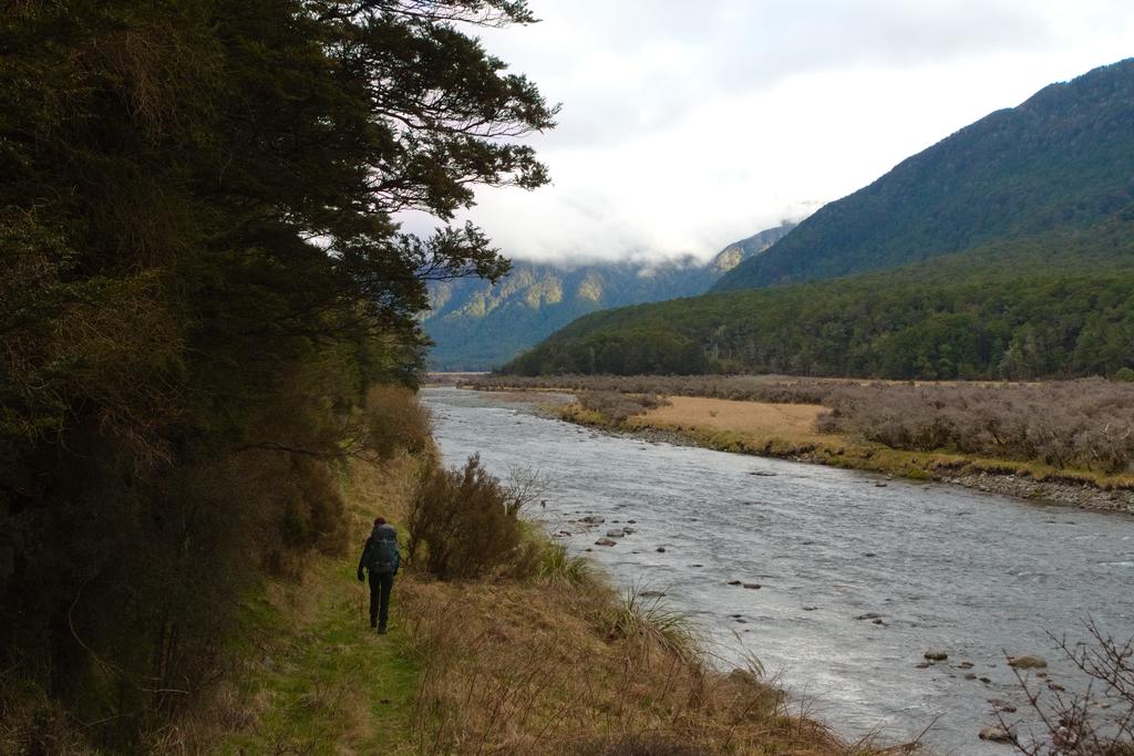
The track starts by crossing the Boyle River on a great swingbridge before climbing up to the Tui Track junction. From there it follows the Hope Kiwi Track and climbs well above the river, much high than you might expect or judge from the map. It also undulates more than expected, but nothing challenging. The track still has some windfall leftover from the storms in June/July 2022, but it gets less as the track continues on.
Hope Kiwi Hut is a reasonably sad state of affairs having no fireplace and being thoroughly grubby. However, it has got quite a nice grassy area and I think, a horse pen, as there is horse walking tracks up the valleys.
From Hope Kiwi Hut the track continues on through the forest in which you will find an excellent photo opportunity looking up the valley towards The Nelson Tops and Tawhai Hill. The track then drops down to the true left of Hope River and passes along some grassy flats to the bridge that crosses Hope River. The gorge it crosses is very beautiful and it looks like it would be quite a fun paddle! We’ll have to come back!
Hope Pass Track is an old 4WD track, although it doesn’t look like it has seen much use in quite some time. It also has washed out in a couple of places and looks quite impassable for a vehicle. Nothing too remarkable about this section, although we were quite disturbed by the Canada geese honking like their lives depended on it. Not quite the peaceful backcountry you might wish for.
St Jacob’s Hut is cute, tidy and well looked after. Water can be gained from a nearby creek, there is ample firewood, and there are camping sites a plenty nearby. We had a lovely afternoon relaxing in the hut and hiding from the sandflies.
📷: Finn Le Sueur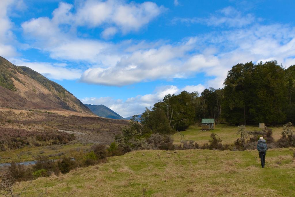
📷: Finn Le Sueur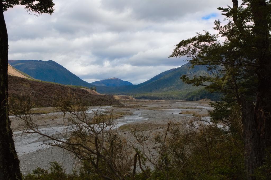
📷: Finn Le Sueur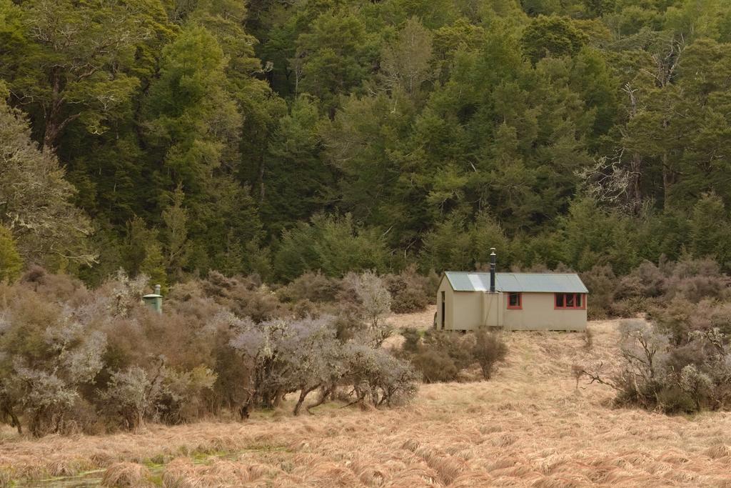
📷: Finn Le Sueur
Day 2: Doubtless Hut
15.49km (921m 🆙, 851m🔻) in 6hr 6min @ 2.54km/hr.
Detailed Timings
- 0:32hrs to Pussy Stream junction (2.6km)
- 0:21hrs to Pussy Stream (1.32km)
- 0:39hrs to turnoff onto ridge (1.97km)
- 1:10hrs to bushline (1.25km)
- 0:40hrs to cross saddle to north bushline (1.28km)
- 0:15hrs to Lake Man Hut (0.61km)
- 1:27hrs to Doubtful junction (3.52km)
- 0:21hrs to Doubtless Hut (1.92km)
After some confusion about whether our watches had changed for daylight savings or not we headed off alongside Hope River to start our long day. It is a quick trip up to the junction marked by a DOC sign. From there cross the Hope River where you feel appropriate. Hope River at Glynn Wye (ECan) was 0.6m stage height when we crossed and we had no concerns at all with the water level.
From there, follow the poles and cross grassy flats to the forest true left of Pussy Stream. The forest section is short but overgrown. Enter Pussy Stream and follow it up, crossing many times for the next 2km. If you had trouble crossing Hope River you might also have some trouble ascending Pussy Stream.
Finding the right fork and the entry to the track is pretty straightforward as long as you keep your eyes open for a large orange triangle and aim for the true left fork where the ridgeline meets the creek. It climbs extremely steeply immediately and you will find yourself using both hands to ensure your safety! It is very steep for this first section before it eases off somewhat. Jen and I both agreed that we were happy we were going up not down this track. It might feel a little airy going the other direction.
Once you reach the bushline there is some scrub bashing to do before you reach tussocks. It remains steep and slow going here but it gets better as you get into the tussocks above the alpine scrub. The saddle is beautiful and it was about here we realised you could traverse the Doubtful Range as an alternative entry to Lake Man Bivouac. Next time!
The track descends steeply into the forest on the north side of the range before meeting Lake Man Bivouac. Depsite the DOC page saying it has canvas bunks we found that it has been done up and was in fact very tidy and now has new bunks and mattresses! We decided against a trip up to Lake Man as it was quite the detour and still had snow on it. It would, however, be an excellent trip if you were staying at the biv.
The track down to Doubtful River alongside Kendron River was, in a word, rooty. Rooty and steep, if I were to use two. That said, it was really nice forest. With feet starting to get a bit sore we were pleased to reach the junction on the Doubtful River and to know we were close to the hut! Turning upstream the track is very well formed and maintained and we quickly reached the hut, also very tidy! There was essentially no navigation required over this day, with everything thoroughly well marked and cut.
📷: Finn Le Sueur, but not avoiding the rain.](https://imagor.lesueur.nz/d8WhNR_q2aJ8TaxY1MEq1UzqAzw=/fit-in/1024x/blog/lake-man-circuit/IMG_8410.jpg)
📷: Finn Le Sueur which has come inland to nest.](https://imagor.lesueur.nz/9dOAZngY9tEzop7NA4ypAJTudHE=/fit-in/1024x/blog/lake-man-circuit/IMG_8413.jpg)
📷: Finn Le Sueur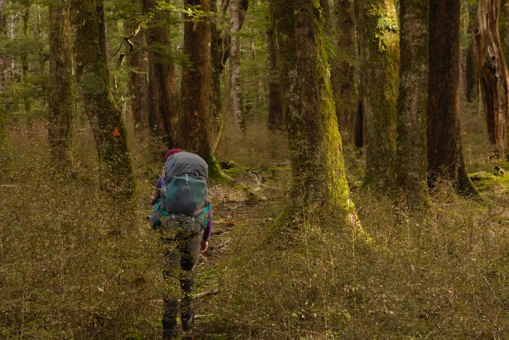
📷: Finn Le Sueur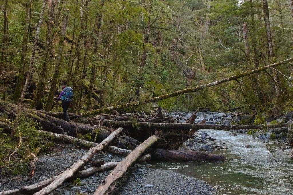
📷: Finn Le Sueur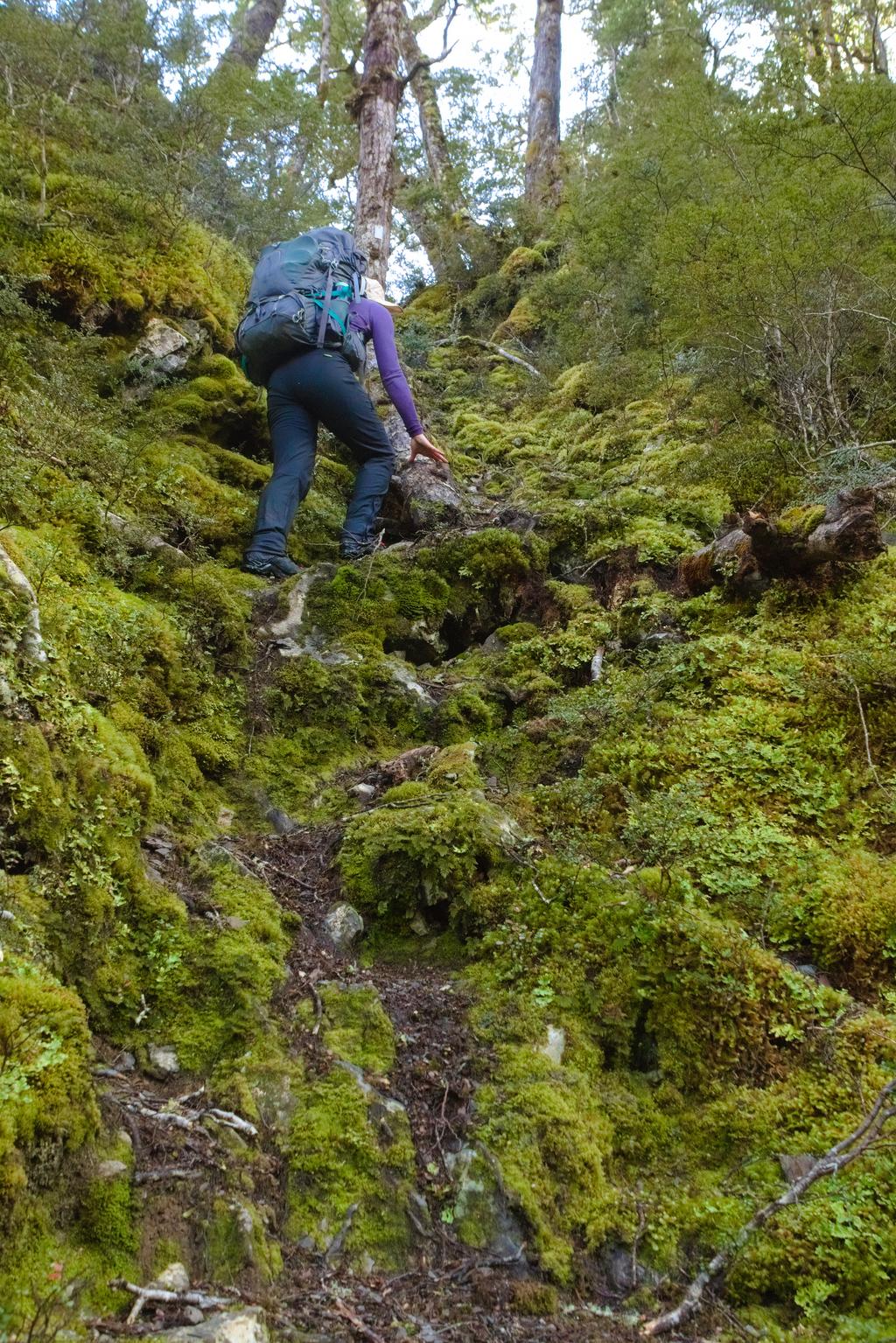
📷: Finn Le Sueur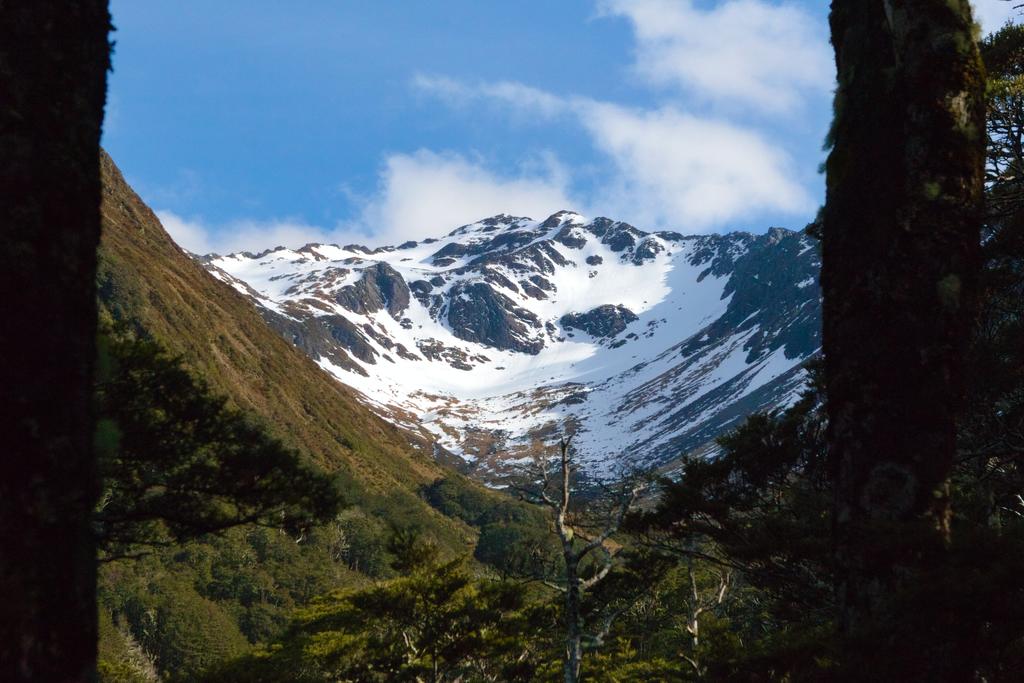
📷: Finn Le Sueur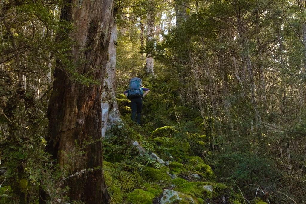
📷: Finn Le Sueur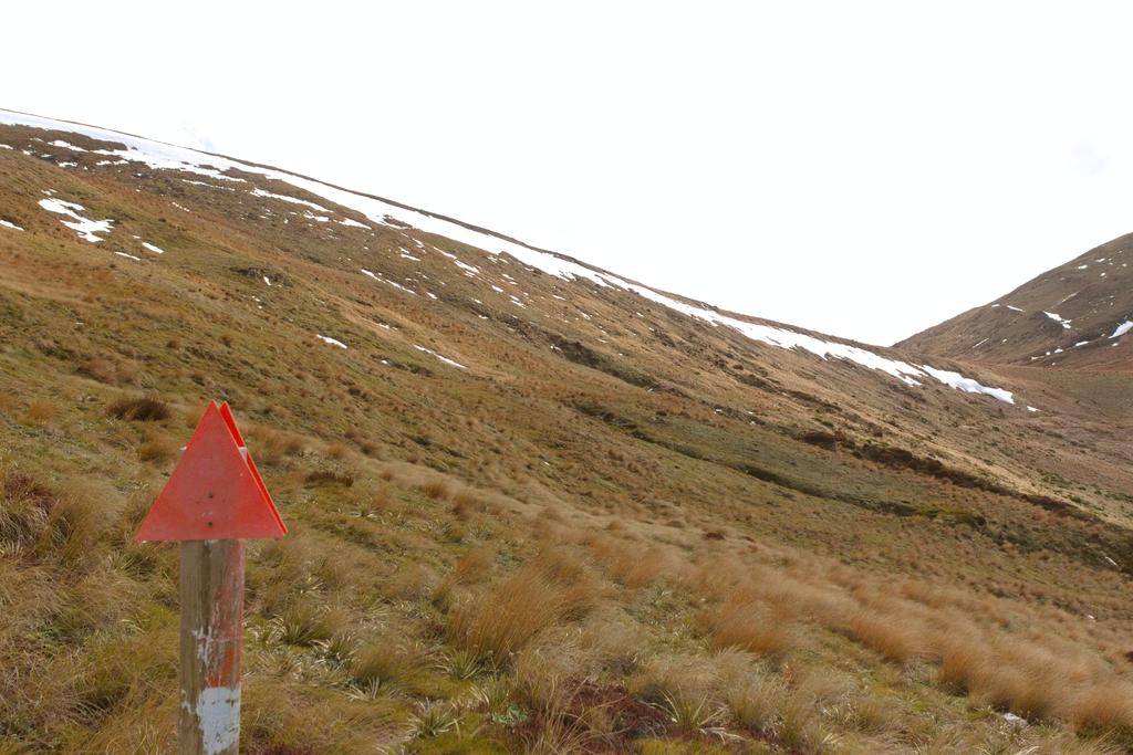
📷: Finn Le Sueur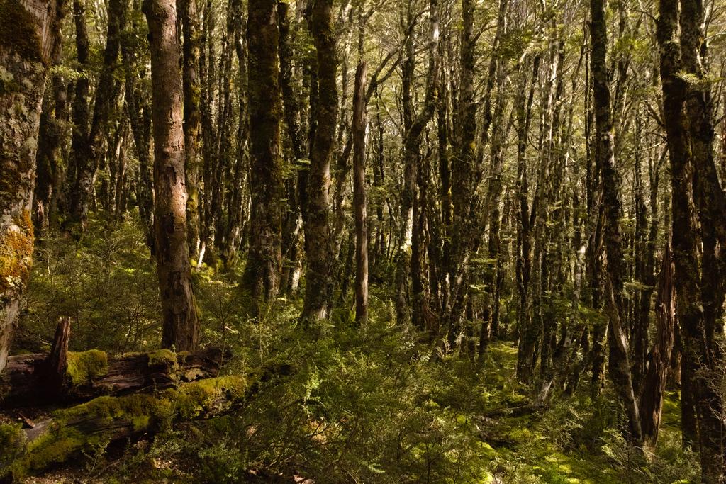
📷: Finn Le Sueur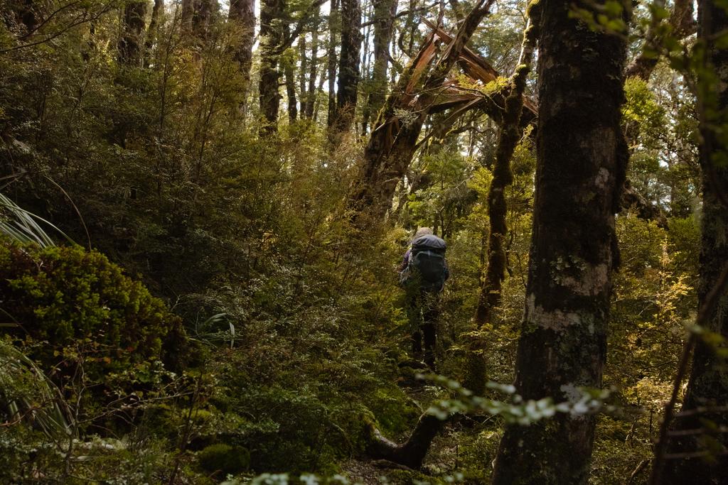
📷: Finn Le Sueur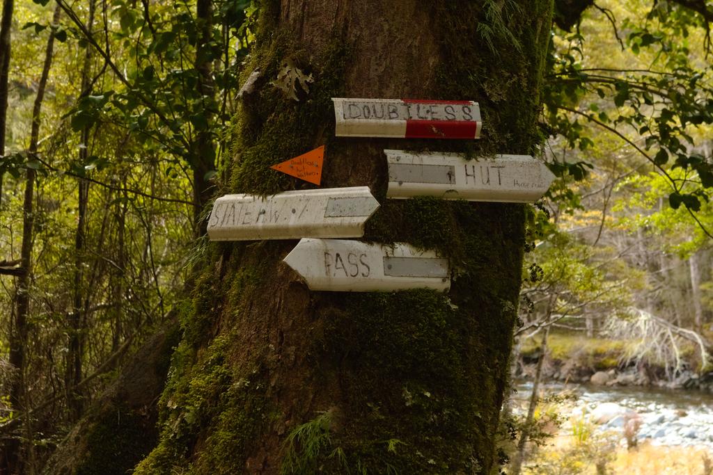
📷: Finn Le Sueur
Day 3: Out to Windy Point
18.04km (342m 🆙, 557m🔻) in 3hr 51min @ 4.68km/hr.
Detailed Timings
- 0:26hrs to Kendron River / Lake Man junction (1.9km)
- 0:46hrs to Doubtful Hut / Devilskin Stream (3.7km)
- 0:58hrs to Tui Track junction (6.55km)
- 1:33hrs to Hope Kiwi Track junction (5.24km)
- 0:08hrs to Boyle River for a swim! (0.6km)
We had bit more of a relaxed start to the day knowning that we didn’t have too far to walk and that our only constraint was being back in town for a birthday dinner. The track is well formed the whole way and we found it very easy and quick walking.
The track down to Doubtful Hut and The Reserve crosses Hoult and Neville streams - neither of which posed any trouble in the low flows. I could imagine Hoult being a little more exciting after some rain. From there the track sidles through some bush to avoid a lovely looking gorge (again, we’ll have to come back for some paddling..) before regaining the flats.
At Tui Track Junction the track becomes more 4WD and travels south on the true right of the Boyle. We chose to cut over the riverbed just for something different before regaining the track just before Engineers Camp and where the track veers up into some low forest.
The track continues along, mostly quite uninterestingly, veering around a deer paddock before undulating up past Point 589 and down to the Hope Kiwi Track junction. From there, a quick descent to the Boyle River sees you at a lovely swimming spot on the true left side of the river.
This was a wonderful three-day trip, requiring little navigational expertise, nor any mastery over a fear of heights or exposure. Highly recommended.
](https://imagor.lesueur.nz/oTgZ-3vNKjarX5oll1fFT7PukX0=/fit-in/1024x/blog/lake-man-circuit/IMG_8462.jpg)
📷: Finn Le Sueur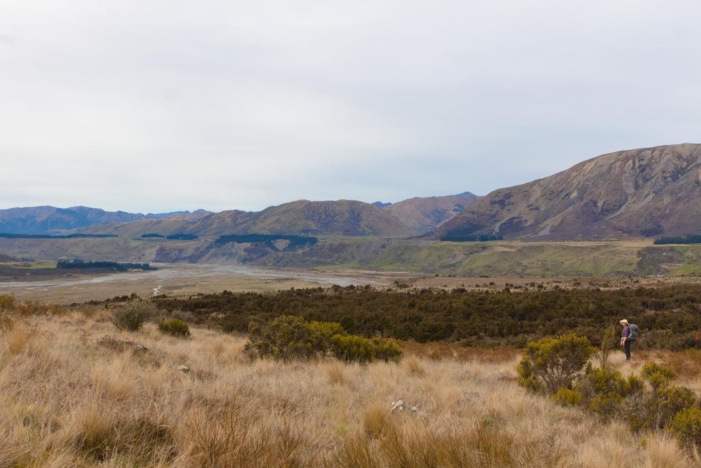
📷: Finn Le Sueur