Lagoon-Cass Track
Activity Date:
Updated:
People:
Finn,
Jen
| Sat Jan 15, 2022 Download GPX Lagoon-Cass Track | 37.17km 6:59:35 | 5.31km/hr 1639m ⬆️, 1735m ⬇️ |
Comments Section
We have a couple of friends who are doing Coast to Coast in 2022 and were participating in the Rasdex Classic kayak race down the Waimakariri. I volunteered to shuttle them up to the top of the river in the car and they were to bike back to Christchurch at the end.
We dropped them off and made our way to Cora Lynn Carpark with the intention of hitchhiking around to the Cass Carpark, but unfortunately no one picked us up in the 45min that we tried to hitch in. We gave in and decided to run in the Lagoon –> Cass direction and hitch at the end instead.
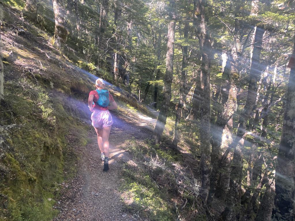
The track begins by climbing steeply through the forest above the carpark before exiting the forest and traversing to Lagoon Saddle and A-Frame Hut. It took us just over an hour to reach the hut. From there it descends down into the Harper River, spending time both in the river and on track parallel to it.
📷: Finn Le Sueur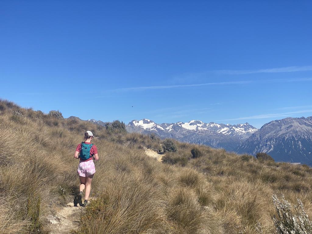
📷: Finn Le Sueur
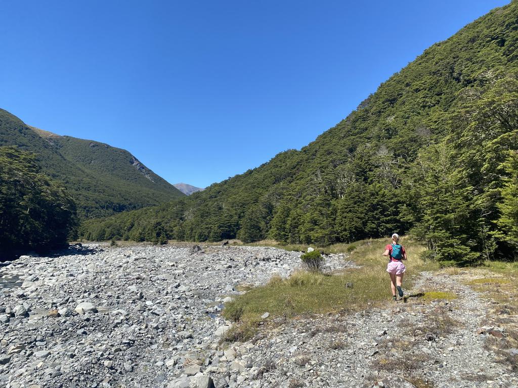
The track makes a small climb just before West Harper Hut to avoid a gorge, before continuing to follow the river quite closely. The track is all quite reasonable through here but we took it nice and slow as to not burn out - this was going to be Jen’s longest run so we didn’t want to push it too hard.
We reached Hamilton Hut in the heat of the day and had a quick break there. From there the track follows the riverbed of Hamilton Creek before leaving it for the forest. There has been a slip in the forest here so you will need to follow a little side track through the bush to avoid it. It’s not much of a detour.
📷: Finn Le Sueur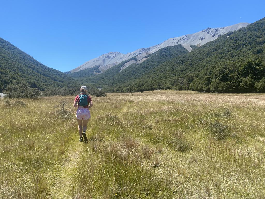
📷: Finn Le Sueur
Jen was feeling pretty naff through this section and got a bit wheezy for a moment, so we stopped to have some food, water and gels before continuing on towards Cass Saddle. The track description indicates that it “climbs steeply” and boy does it ever. We didn’t run any of this part.
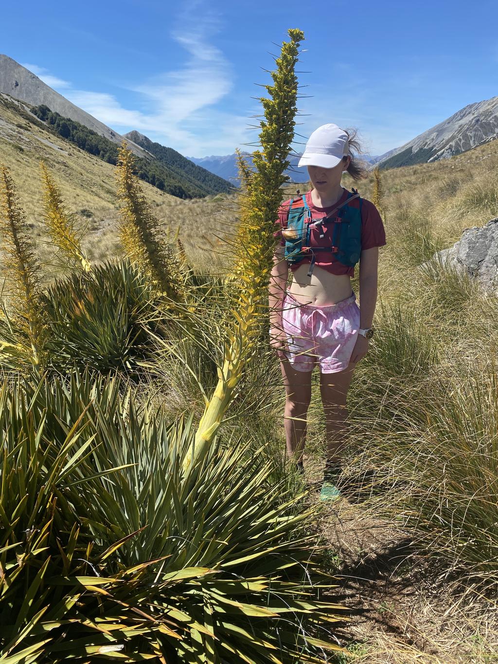
Once we gained the saddle we were glad for some downhill and managed a little jog in amongst some enormous spaniards. We spotted a paraglider above us at Hamilton Peak, and then a couple of guys training to GODZone came past the other way. Looked like they were out for a massive day!
We continued down reaching Cass Saddle Hut quickly. From there we really enjoyed the well formed track through the forest. The gradient is quite nice here and we moved well. Unfortunately the track pops out on the Cass River for >3km where the going was quite slow. Jen was not as confident on the rocks and had very sore feet from running. We mostly walked this section until we found the 4WD trail right at the end.
All in all I really enjoyed this trail - it’s got some great scenery, some great valleys and some fun tracks. It would be nice to go back on a day that isn’t quite so hot!
📷: Finn Le Sueur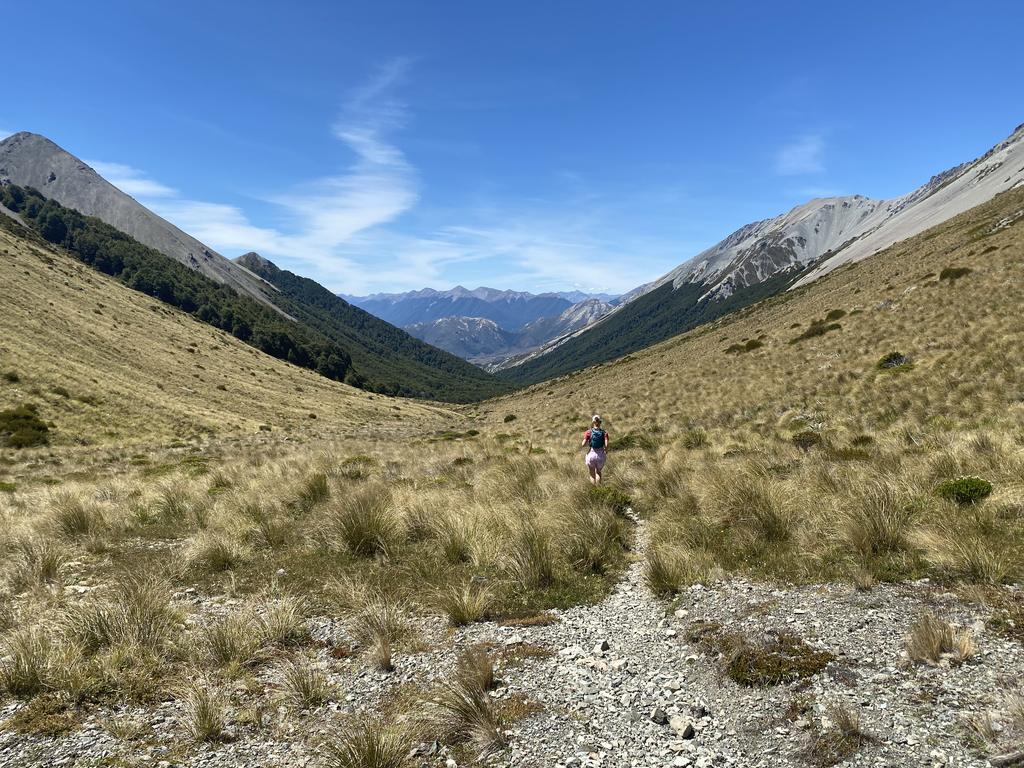
📷: Finn Le Sueur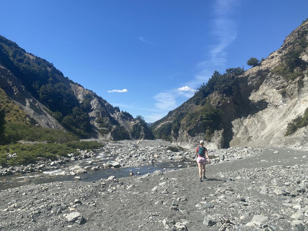
📷: Finn Le Sueur