Kōwhai-Fyffe-Hāpuku
Activity Date:
People:
Finn,
Jen,
Claire B,
Michael T
| Fri Nov 14, 2025 Download GPX D1: To Kōwhai Hut | 9.74km 2:46:12 | 3.52km/hr 368m ⬆️, 74m ⬇️ |
| Sat Nov 15, 2025 Download GPX D2: To Hāpuku Hut | 19.16km 7:48:31 | 2.45km/hr 1608m ⬆️, 1575m ⬇️ |
| Sun Nov 16, 2025 Download GPX D3: Out via Hāpuku River | 7.99km 2:36:49 | 3.06km/hr 237m ⬆️, 649m ⬇️ |
| Sun Nov 16, 2025 Download GPX D3: Bike Shuttle | 17.42km 1:30:26 | 11.56km/hr 287m ⬆️, 230m ⬇️ |
| Total | 54.31km 14:41:58 | 3.69km/hr 2500m ⬆️, 2528m ⬇️ |
Comments Section
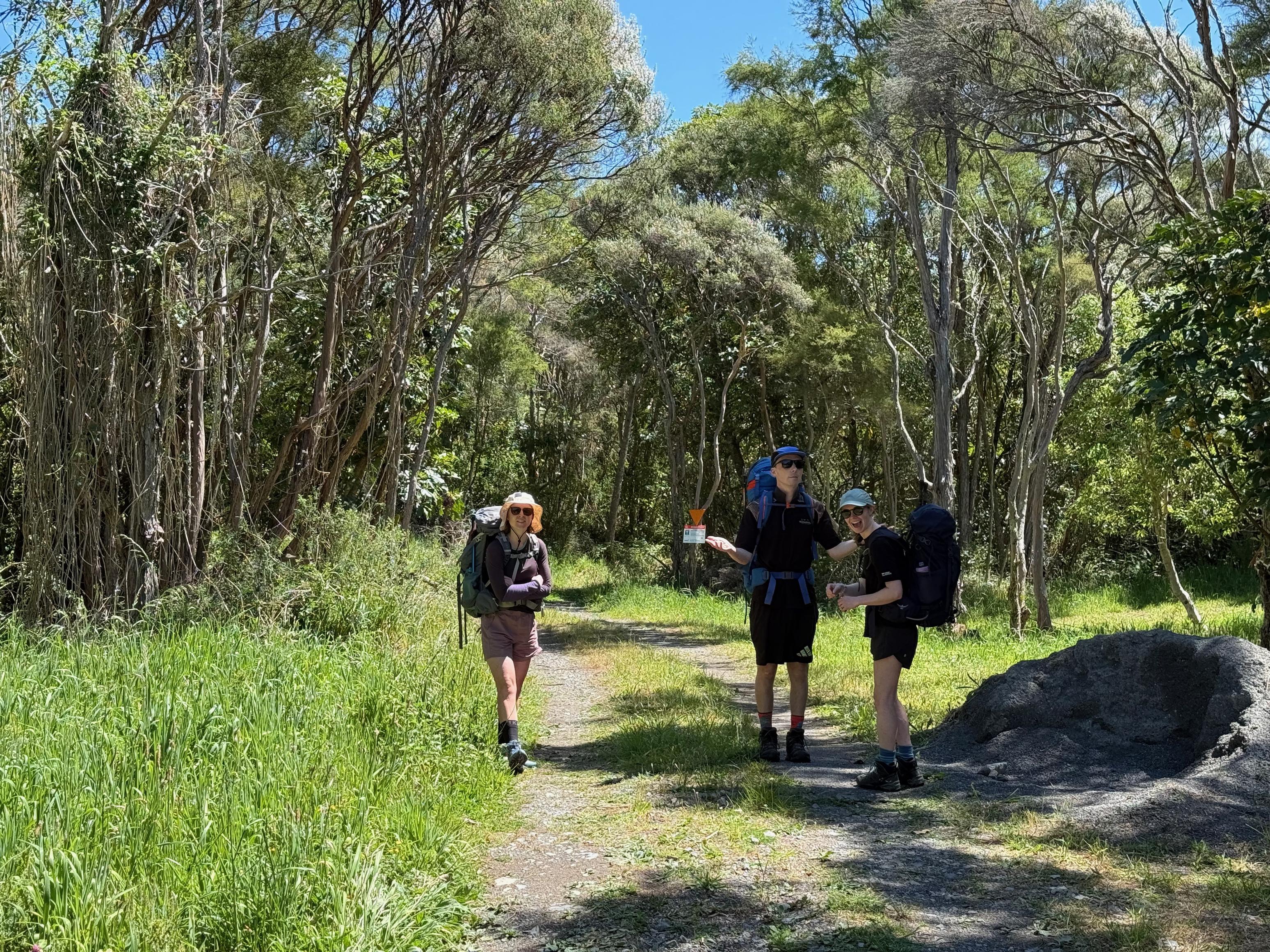
Day 1: To Kōwhai Hut
To make this trip work as a complete loop we dropped our bikes at the Hāpuku road end (locked to a fence, hidden in some bushes) and drove to the Kōwhai road end. The first trick was getting the bikes there, and despite managing to get four bikes on the car for the Alps2Ocean trip, we couldn’t quite manage it this time around. In the end, we took off one of Jen’s pedals and strapped her bike to the roof.
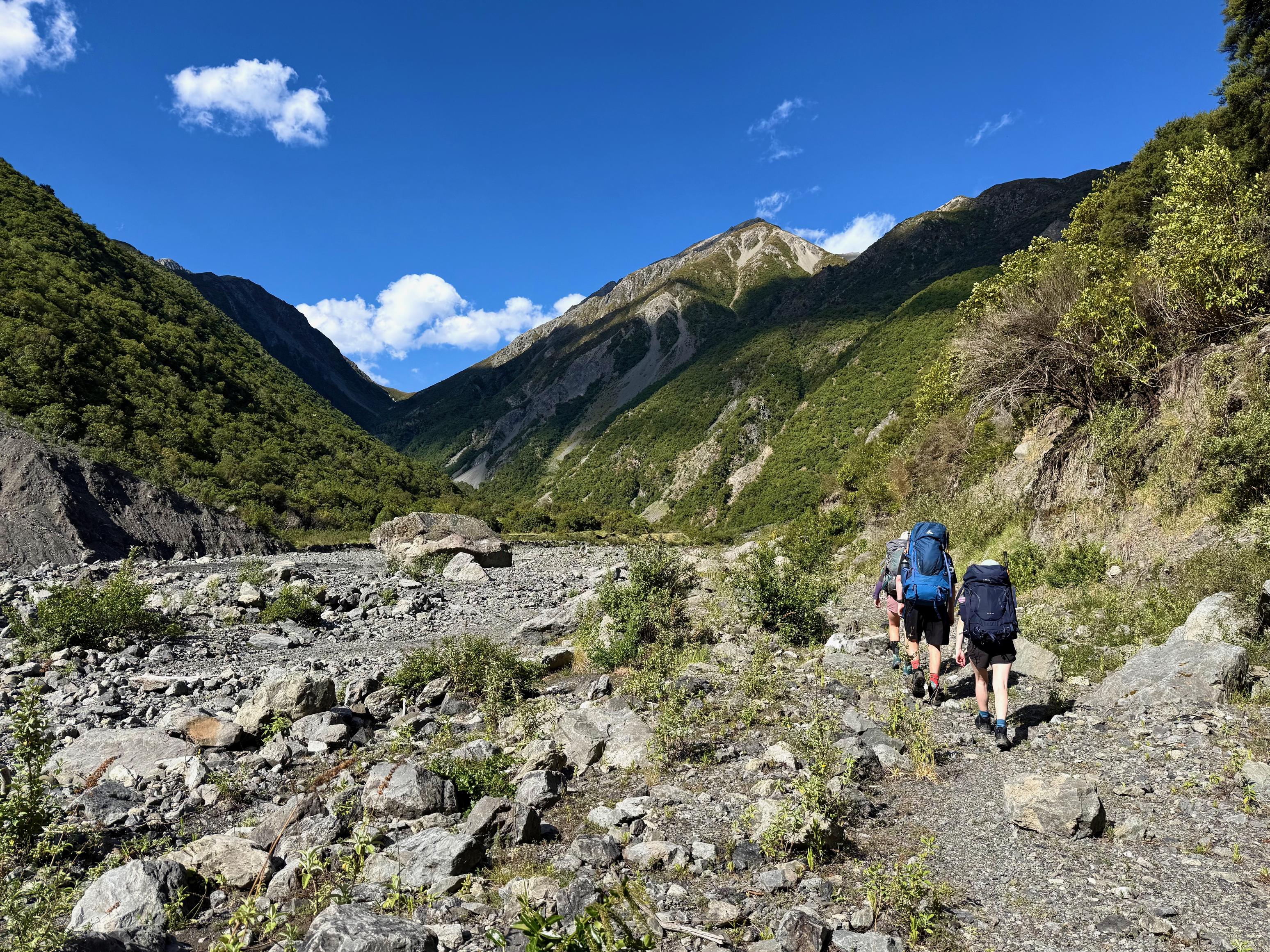
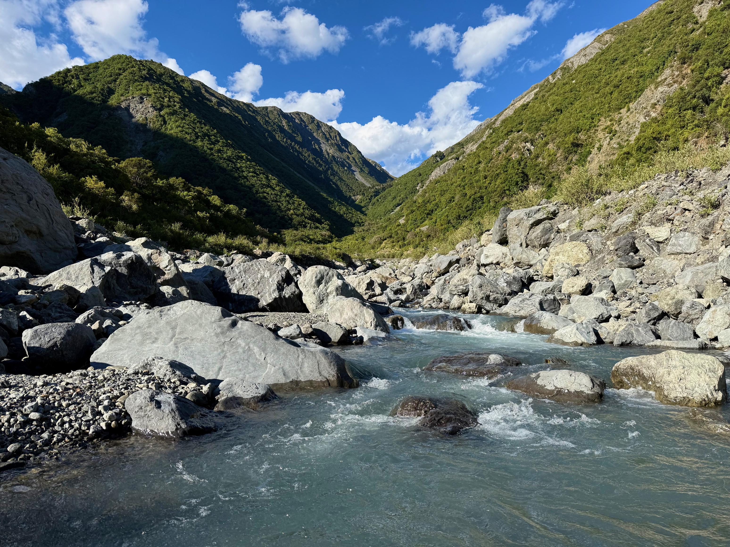
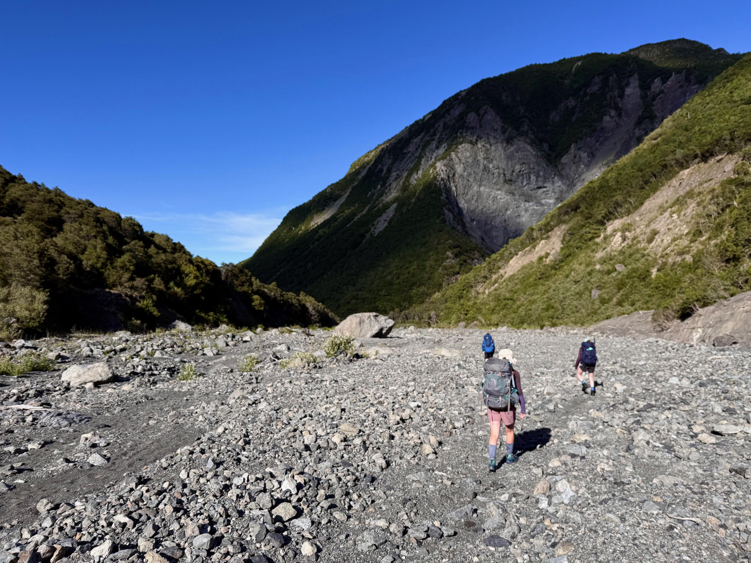
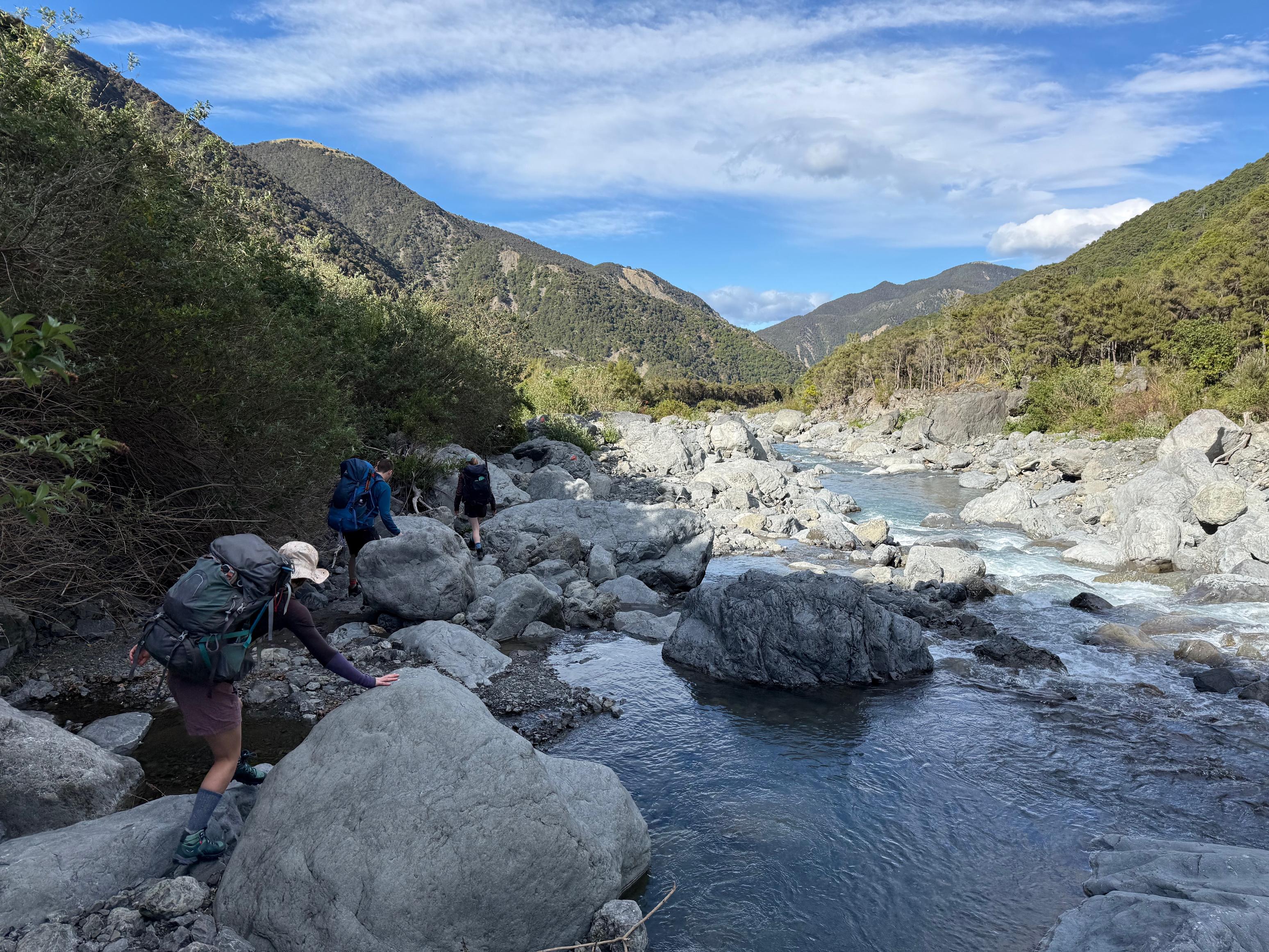
With what felt like the aerodynamic efficiency of a fridge, we made our way to Kaikōura. By the time we stashed the bikes and got our backpacks sorted, the sun was blazing, thus we were glad to walk up the Kōwhai River for a few hours. The river had come up the previous couple of days (according to ECan), but had swiftly fallen back to a normal flow. Which is to say, the river-travel was straightforward, and provided no problems.
After about 6.6km (2hrs), Spainard Spur Track comes down from Mt Fyffe and you can join a well-formed track on the true left of the Kōwhai River all the way to Kōwhai Hut. From the junction, there is only one river crossing left to do immediately below the hut!
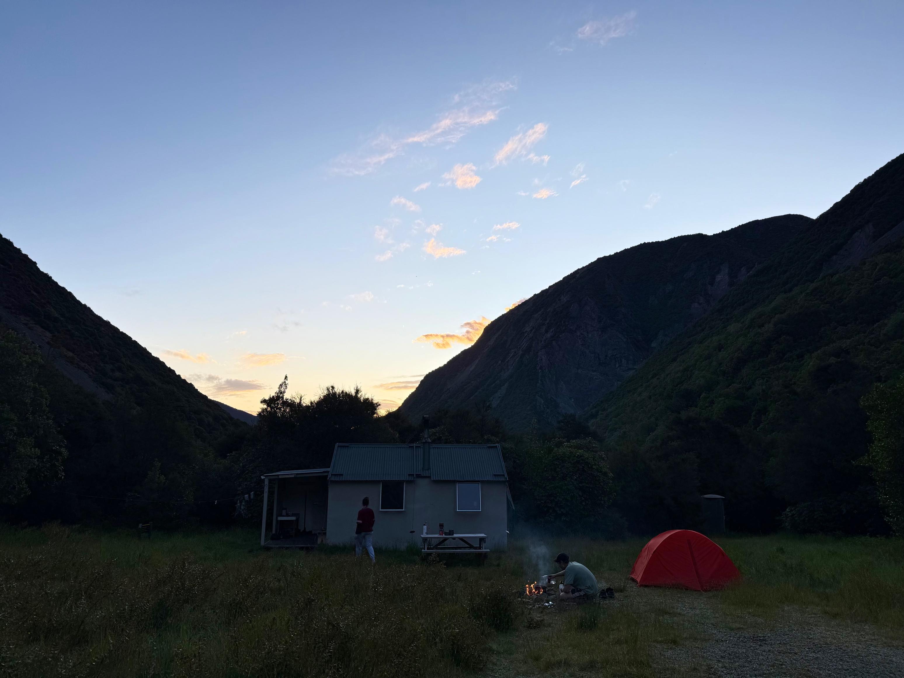
We umed-and-ahed about bringing tents, but were very glad to have done so when we reached Kōwhai Hut! The beds were all full (but the hunters were out stalking some prey), and there were already two tents pitched. Three more were to come later in the evening. One of the main goings-on was that Kelly, one of the hunters, had misplaced a jacket the previous weekend on the Hāpuku side of Kōwhai Saddle and was very keen to tell us all about it so that we could find it. After getting some coordinates, we were confident we could!
🥜 Nut bar
🌮 Hummus & cheese wrap
🍴 (I’ve forgotten!)
🍫 Hot drinks & mango rice pudding
📷: Finn Le Sueur
📷: Finn Le Sueur
📷: Finn Le Sueur
📷: Finn Le Sueur
📷: Finn Le Sueur
📷: Finn Le Sueur
📷: Finn Le Sueur
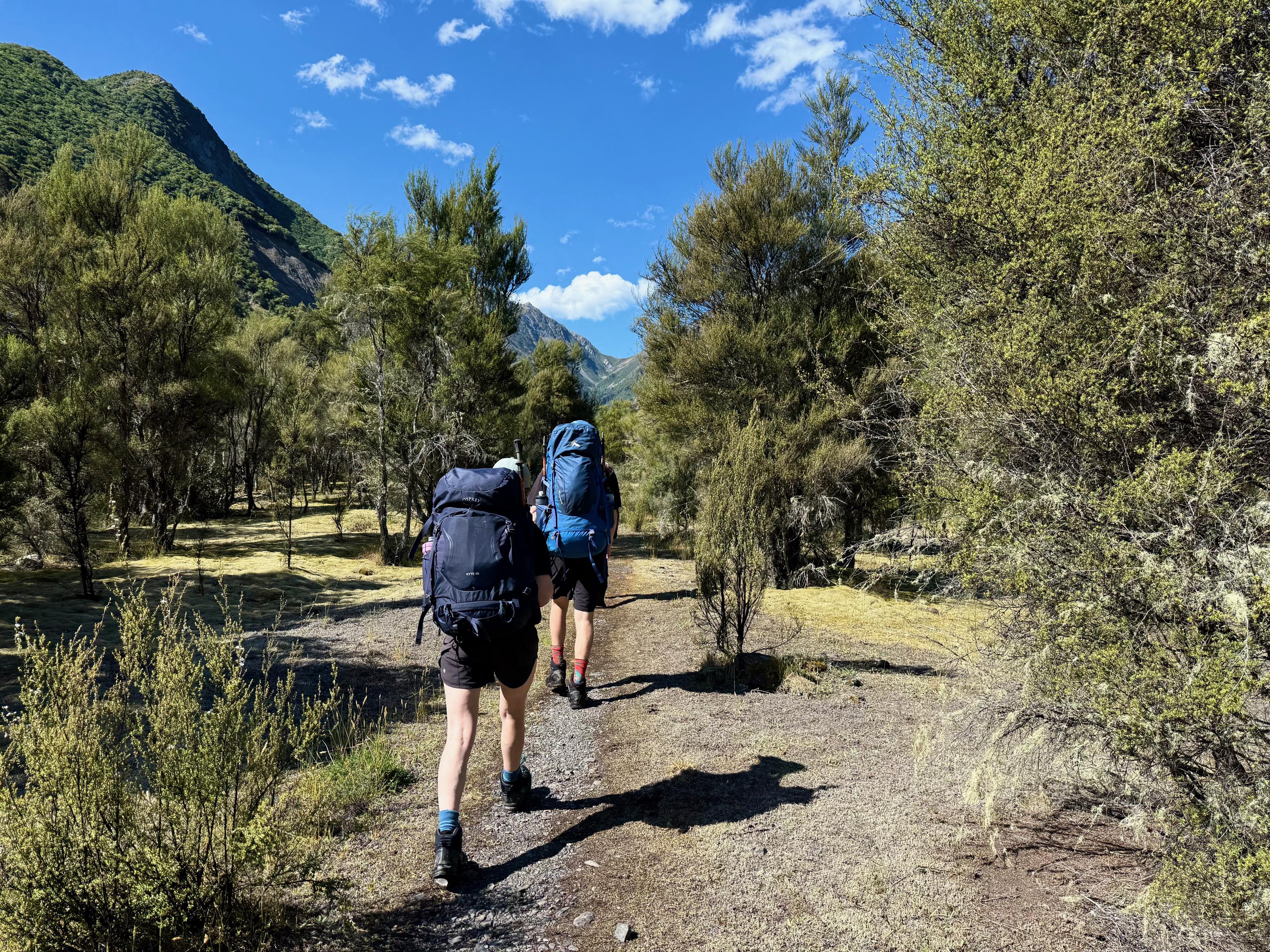
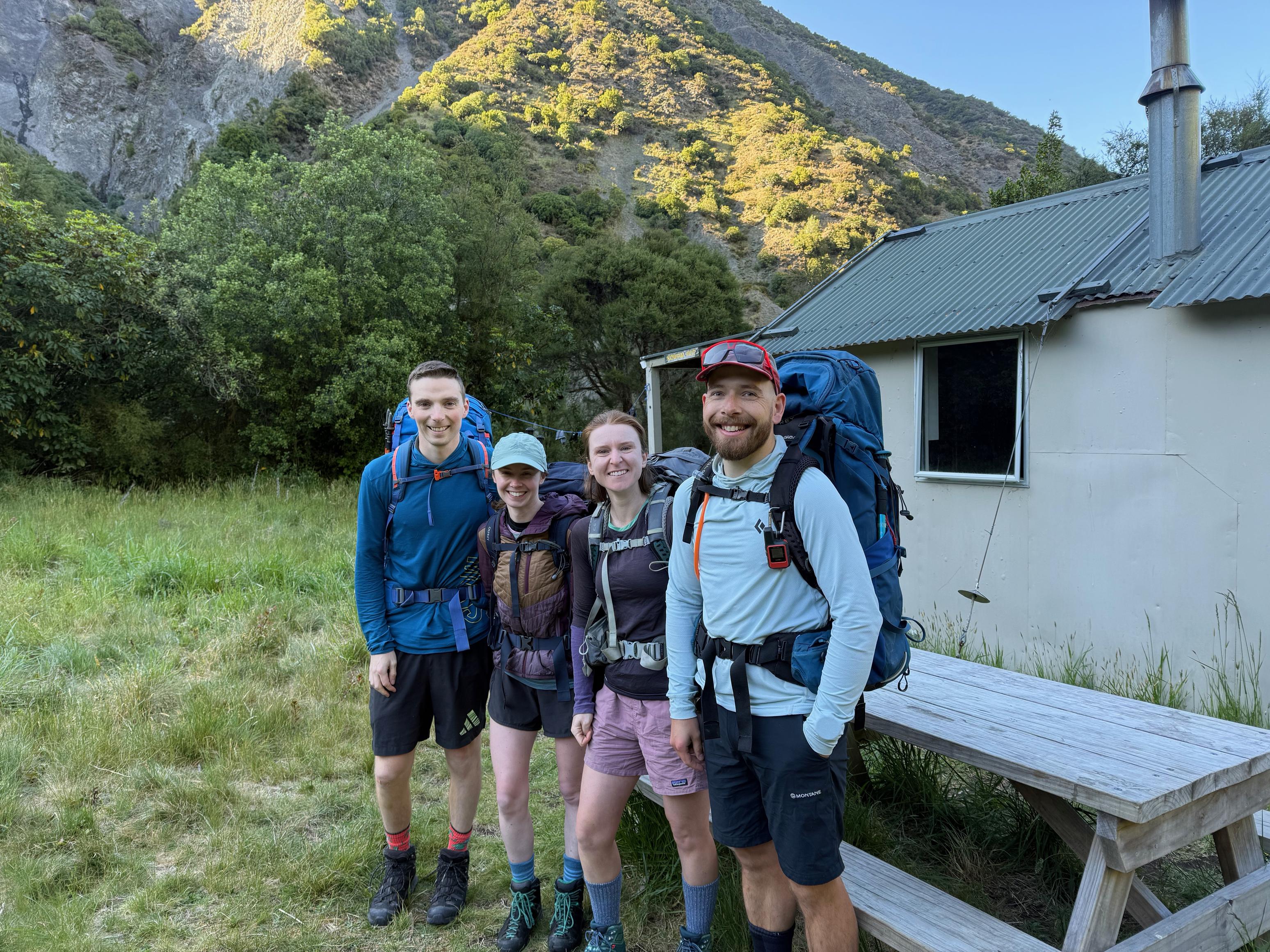
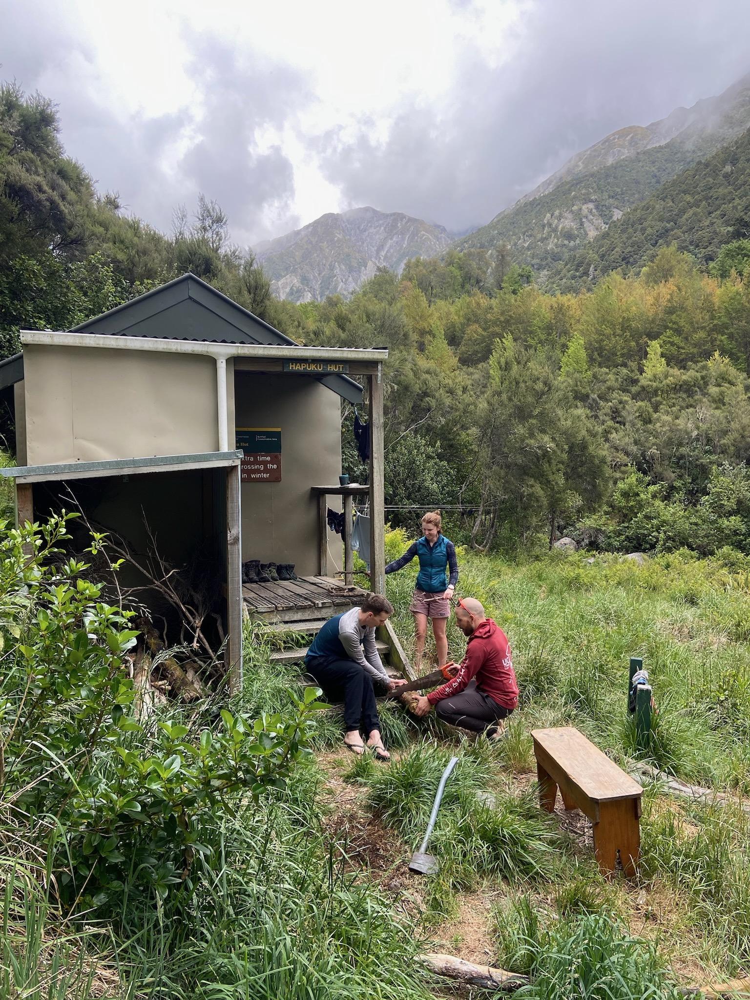
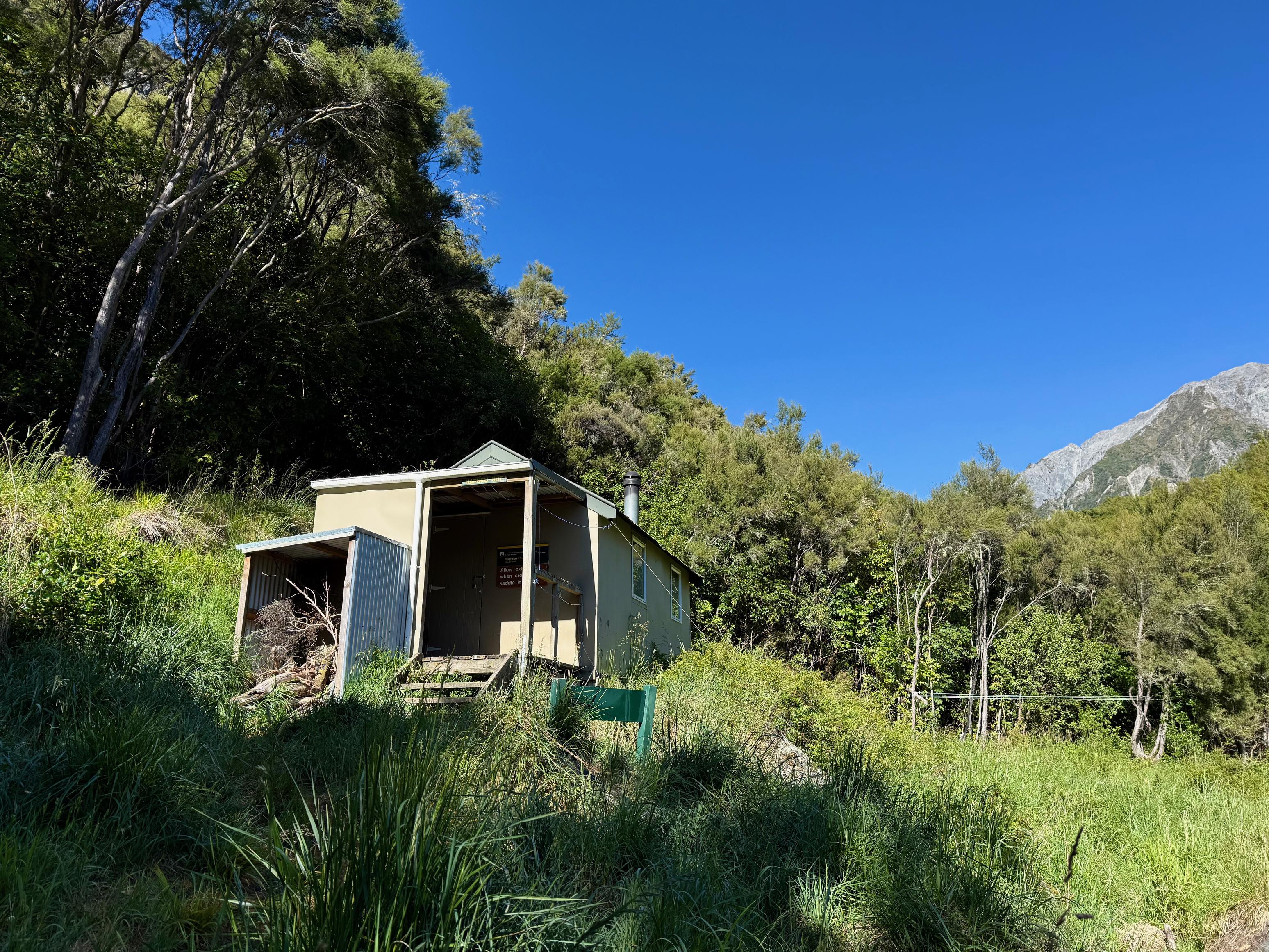
Day 2: To Hāpuku Hut
I woke to wind buffeting the tent in the night, and then again to rain in the morning. Thankfully, it was fairly minimal and by the time I crawled out of bed, it had cleared. On the other hand, Claire and Michael had got up when it started and packed their tent, just in case it got really bad!
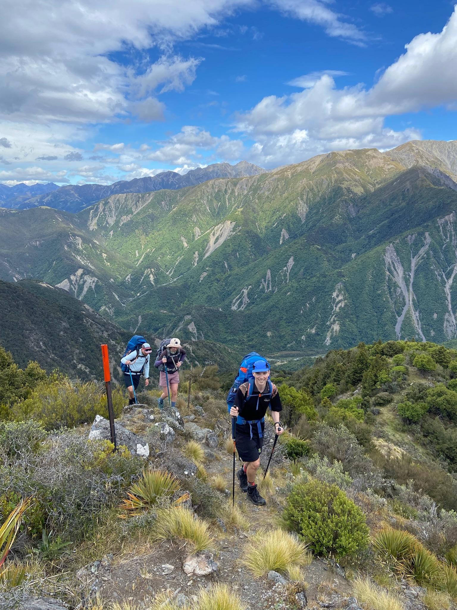
We trundled back down the track the way we came yesterday in order to take Spainard Spur Track to My Fyffe Hut. The morning was a little fresh, but we soon warmed up as we got into the sun, and were quickly sweating as we climbed steeply up to Mt Fyffe Hut.
45min to Spainard Spur Track Junction
1hr 40min to Mt Fyffe Hut
1hr 15min to Mt Fyffe summit
This route choice looks rather odd on the map, but Claire and Michael hadn’t been to Fyffe summit, nor over Gable’s End, so we thought we might as well have a big day and tick them all off!
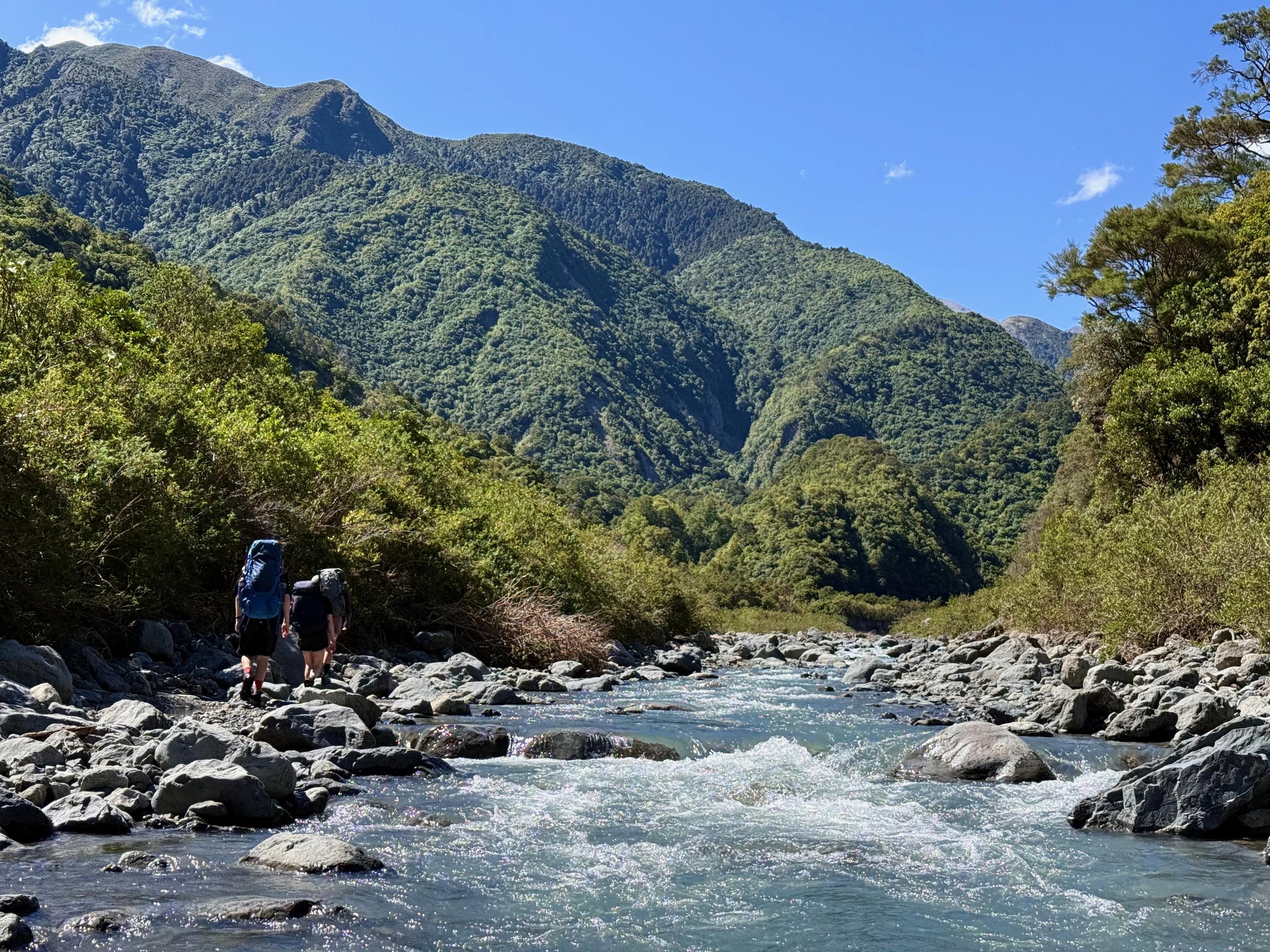
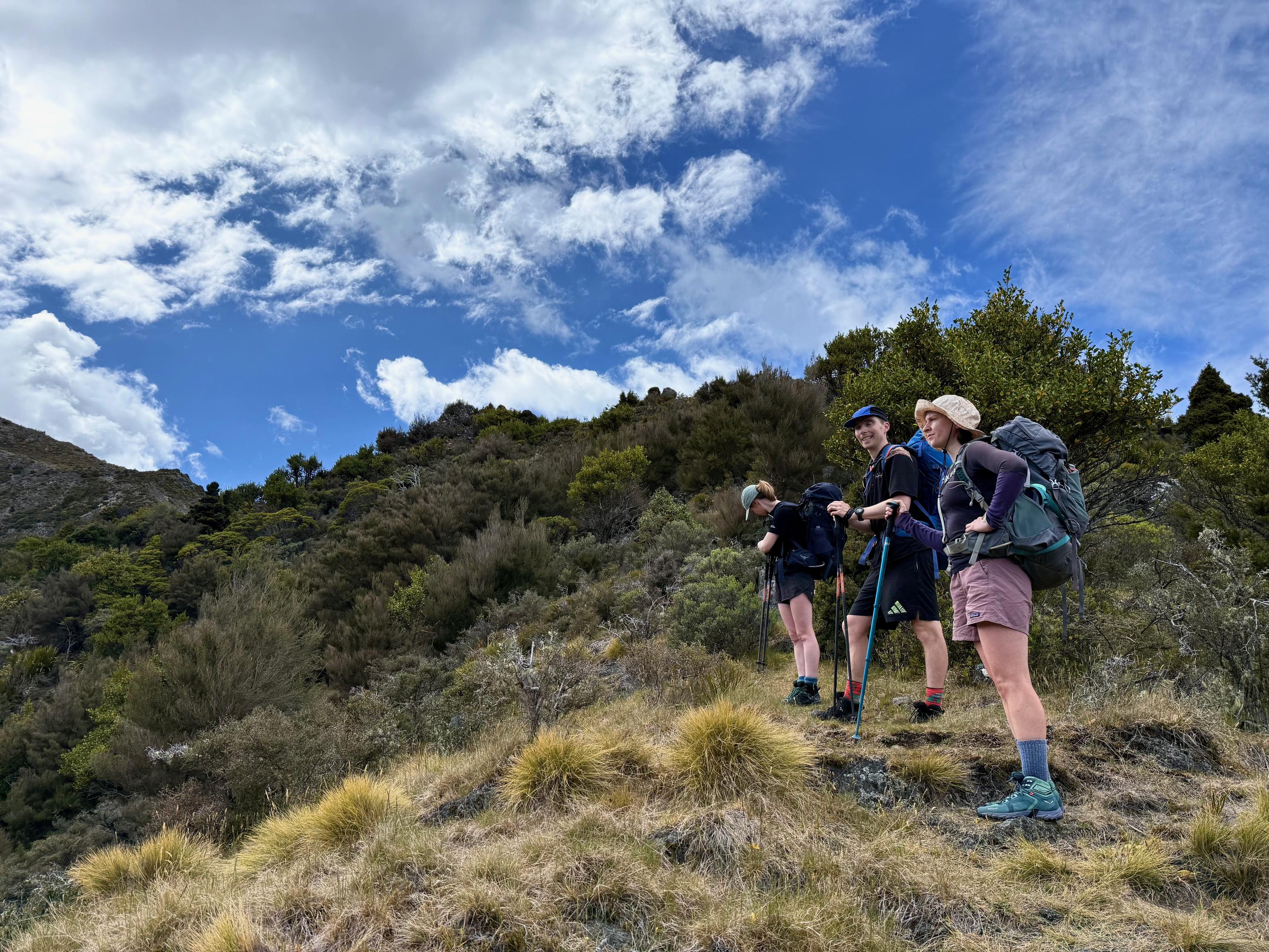
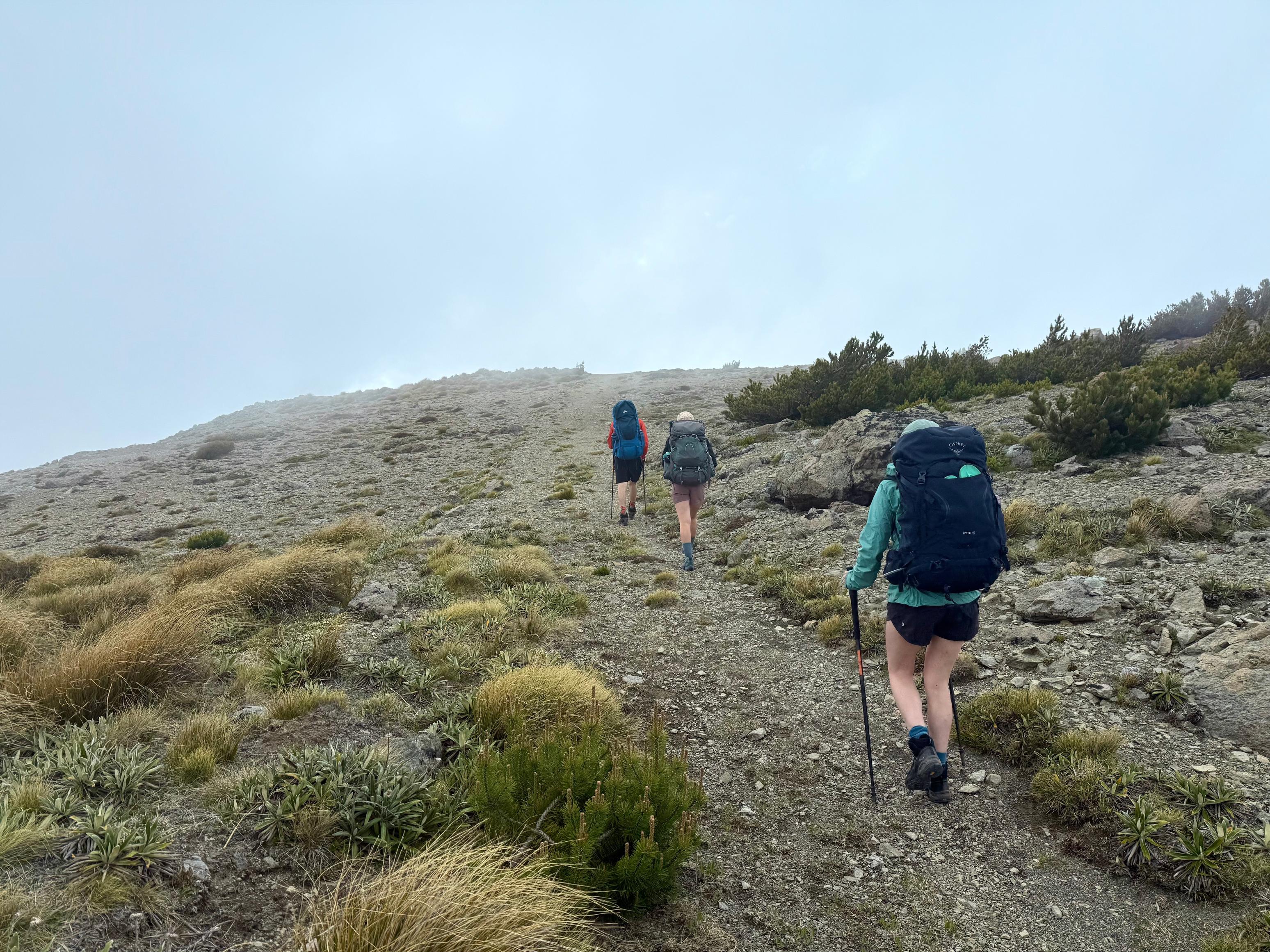
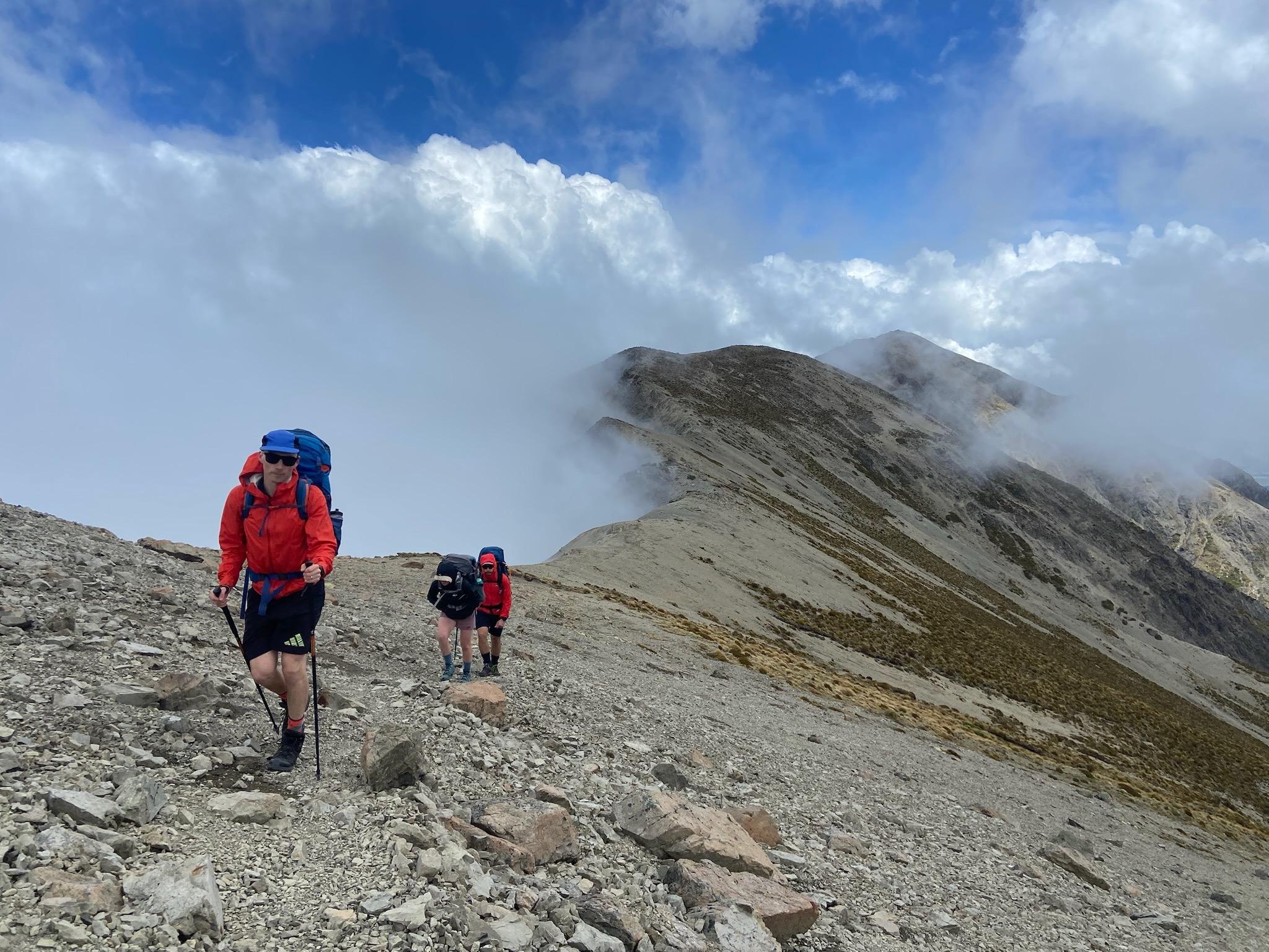
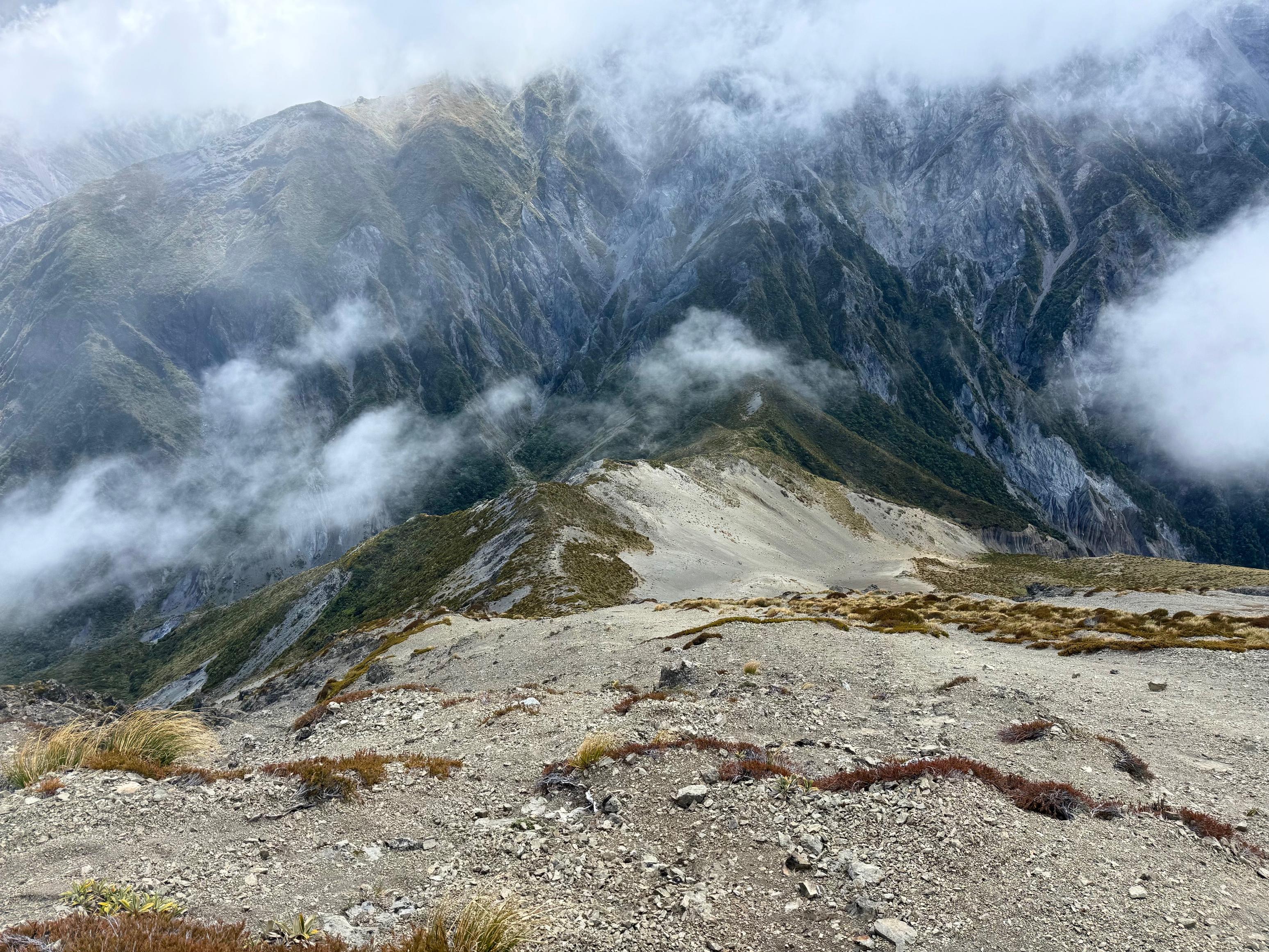
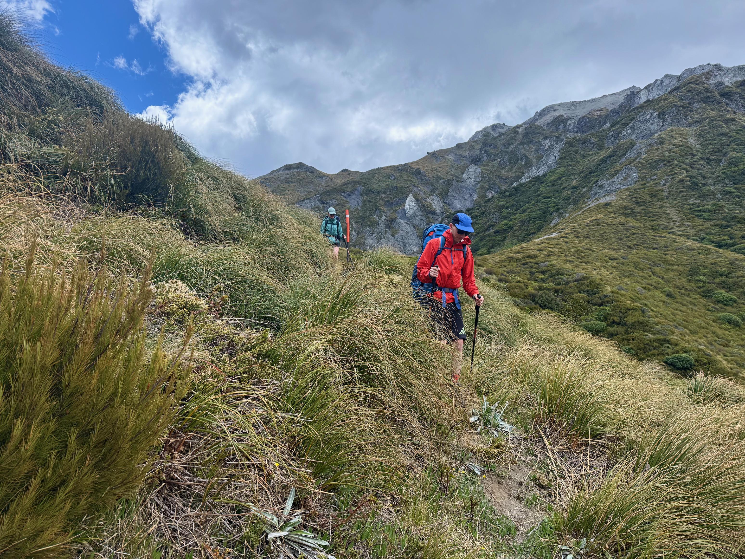
From Fyffe summit (where we lunched), the track follows the ridge with only a couple of short climbs to contend with. It also gives you the first taste of the scree slope that will take you from Gable’s End to Kōwhai Saddle. Claire was a little unsure to begin with, but much more confident by the end. Unfortunately, however, there was one casualty! After >1,000km of hiking, my right boot split open.
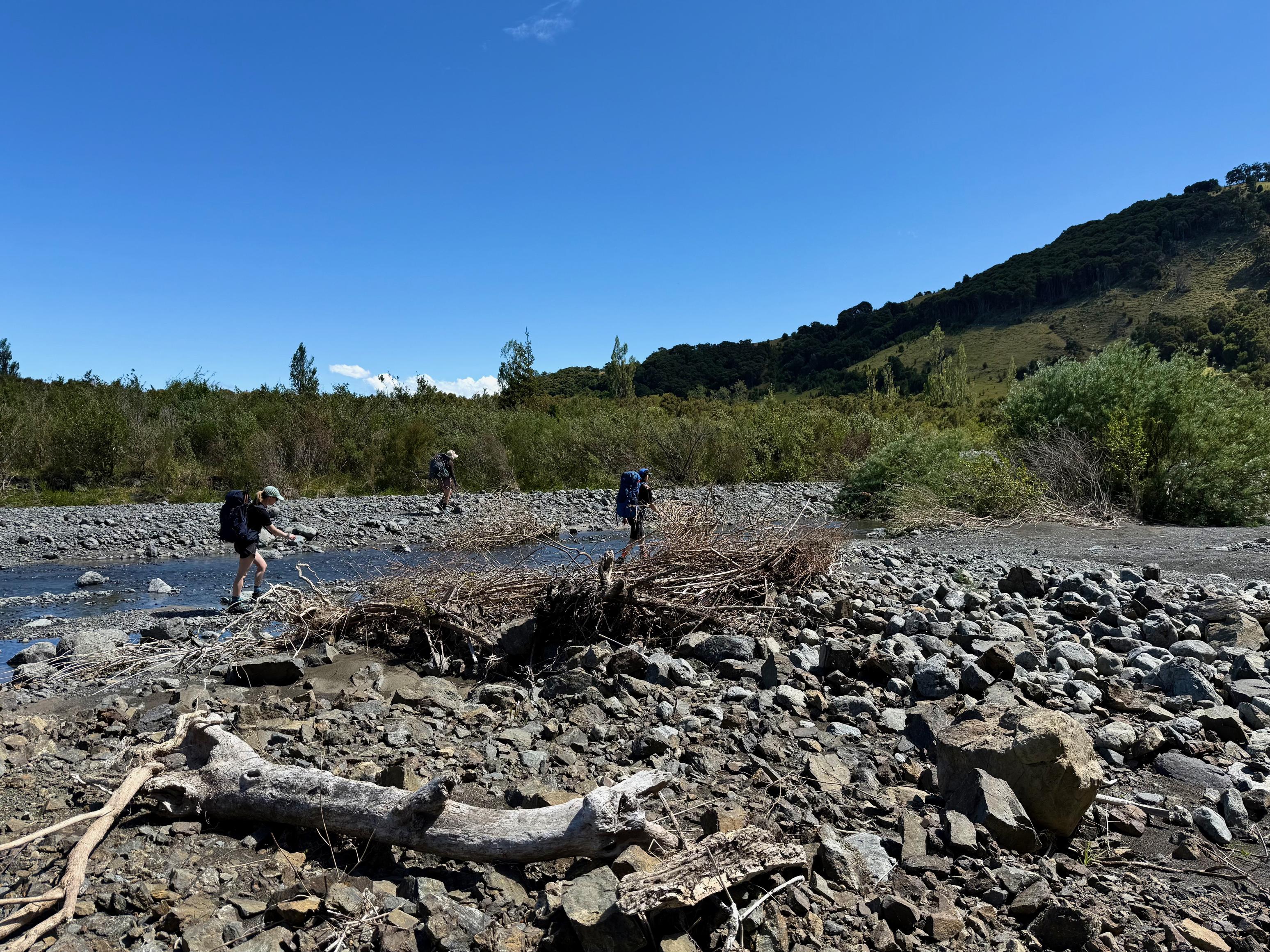
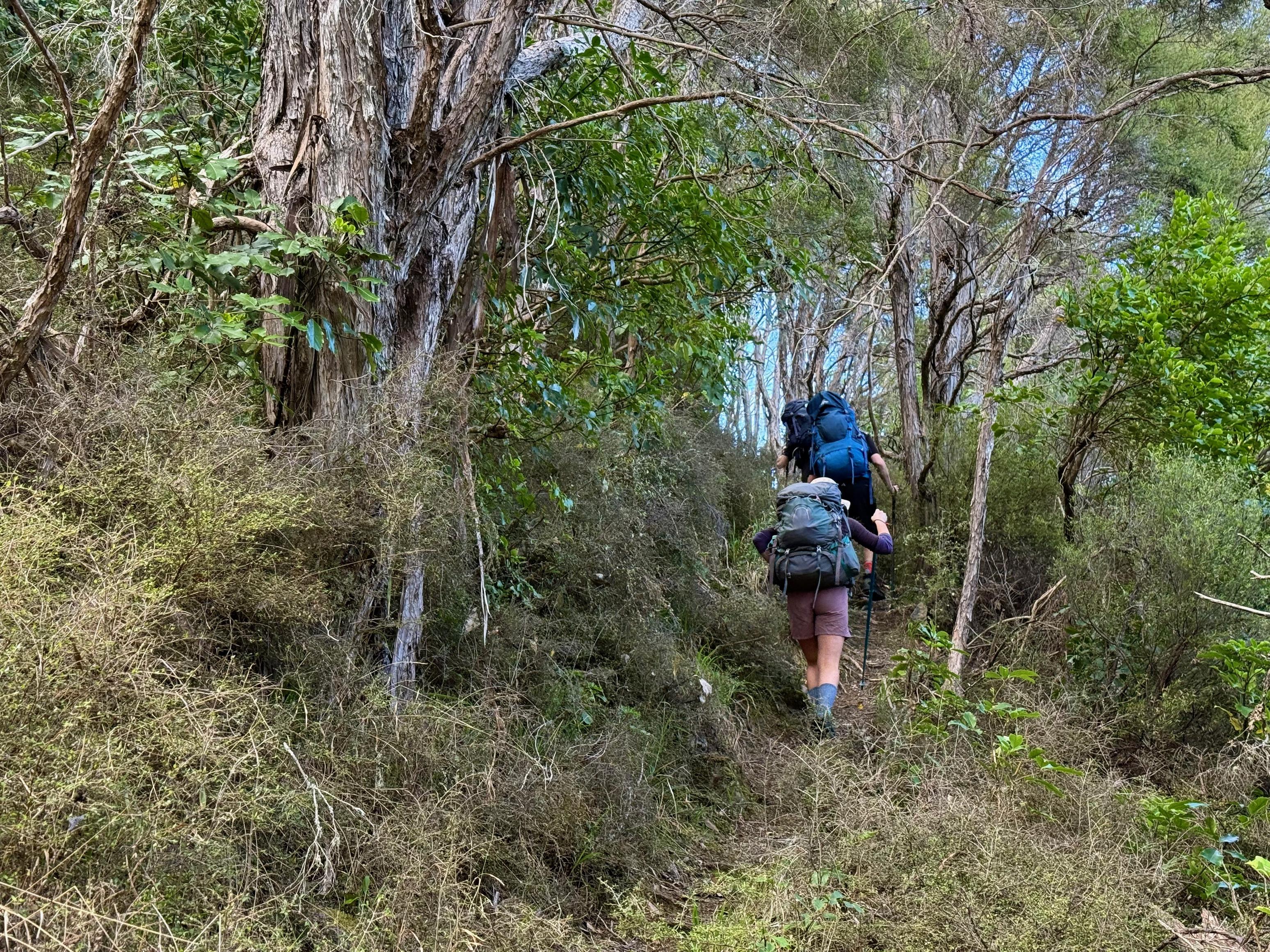
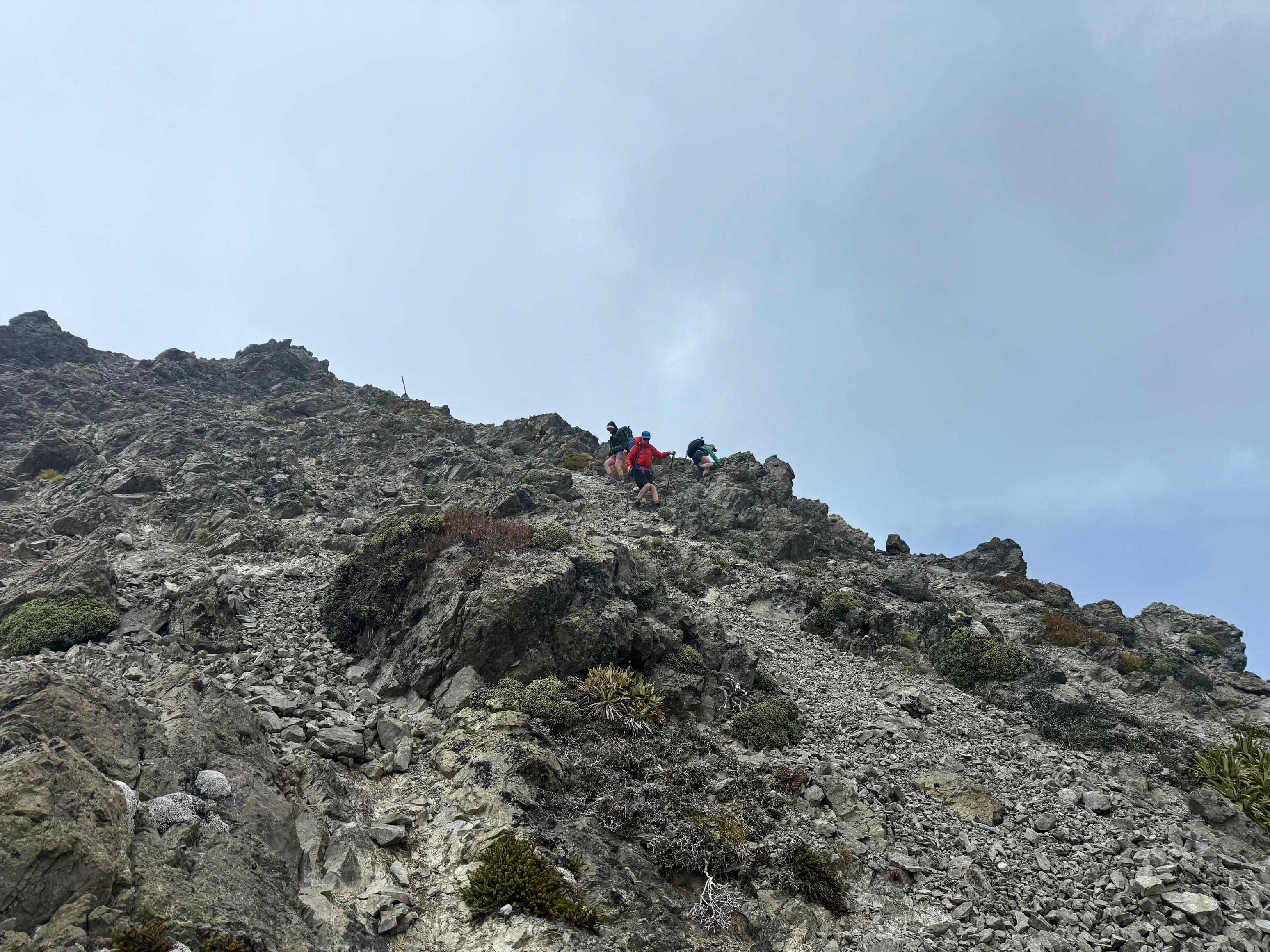
We took a short rest just above Kōwhai Saddle before turning off to Hāpuku River. As we were snacking away, a seemingly quite unprepared and uninformed runner came past us. “Is there a hut down there?”, “How far to the road?” We were a little concerned, but heard later on that he got out, so it must have worked out. The track starts with a little more scree before reaching the forest, and soon after, we found Kelly’s jacket on the side of the track where its camouflage had done a great job at blending in with the leaf litter.
At the hut we met two hunters who told us their dog had run off into the bush the day before. They didn’t seem so concerned but asked if we could call out for her on the way down to the car the next day. After they headed out for an evening hunt we attempted to chop some wood for the fire, but the axe was possibly the bluntest we’ve ever seen, and the saw wasn’t much better. Still, it was enough to take the chill off, and then to completely overdo it and make it too warm. Whoops!
☕️ Muesli & coffee
🥜 Nut bar x2
🌮 Hummus & cheese wrap
🍴 Baked beans on mash potato
🍫 Hot drinks &
📷: Finn Le Sueur
📷: Finn Le Sueur
📷: Finn Le Sueur
📷: Finn Le Sueur
📷: Finn Le Sueur
📷: Claire B
📷: Finn Le Sueur
📷: Claire B
📷: Finn Le Sueur
📷: Finn Le Sueur
📷: Finn Le Sueur
📷: Finn Le Sueur
📷: Finn Le Sueur
📷: Claire B
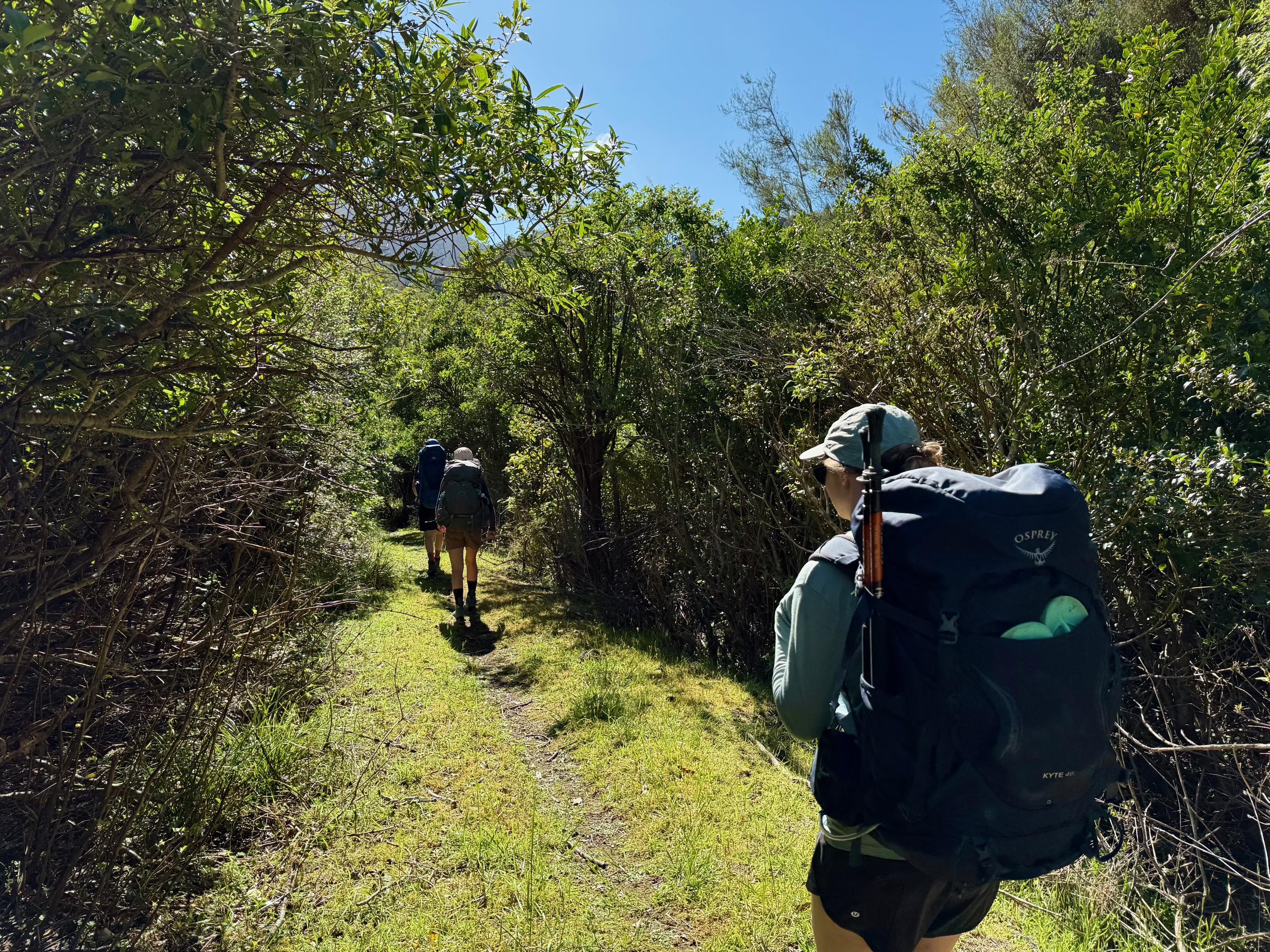
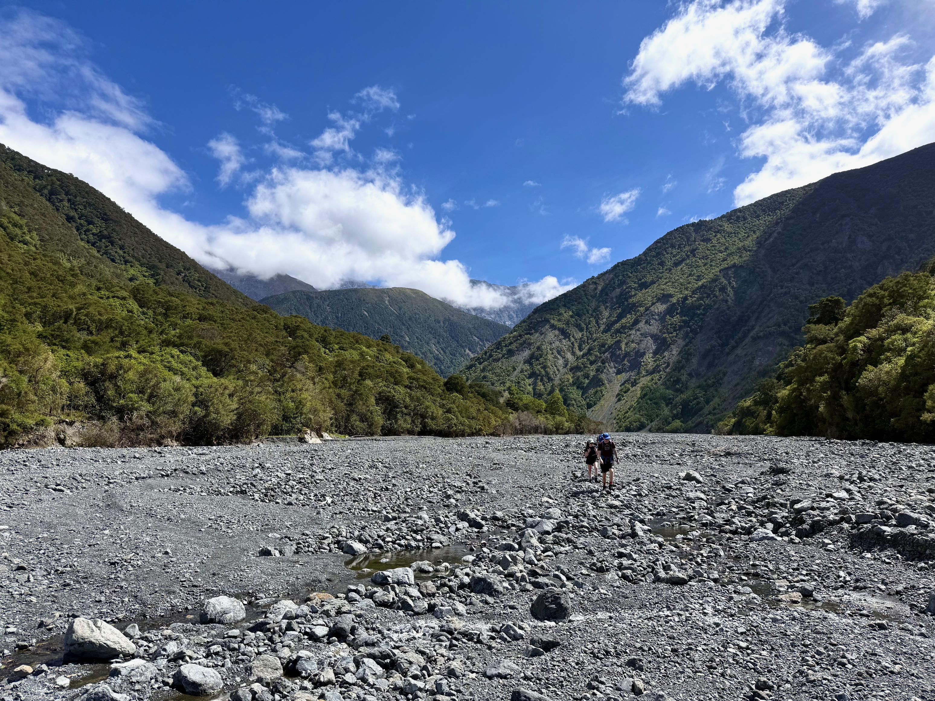
Day 3: Out via Hāpuku River
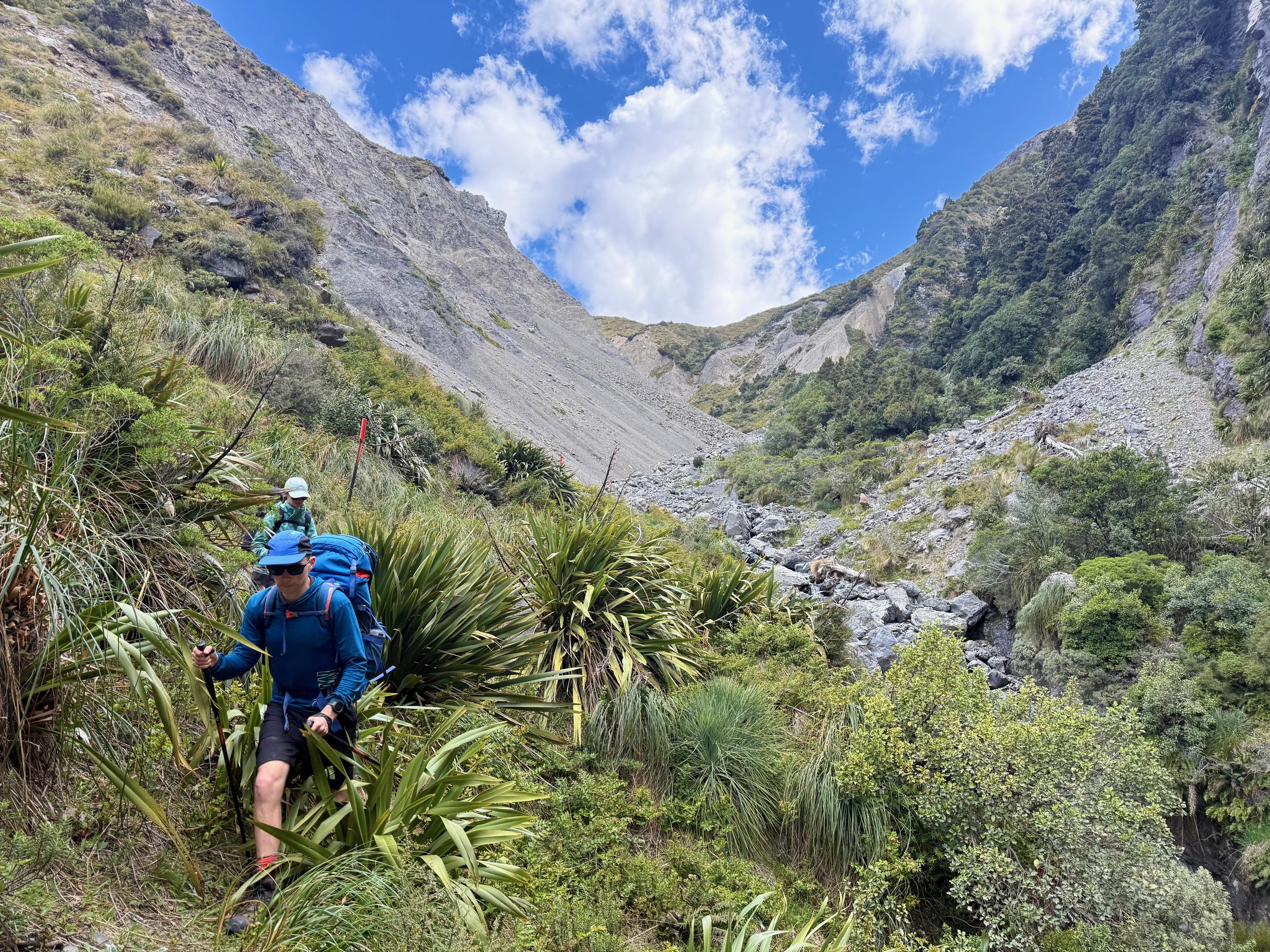
After getting back to the hut very late, the hunters also got up quite early to go for another stalk before heading out. We rolled out of bed not too long after them, but were in much less of a hurry to get out. The hunters told us that taking the river to the Hāpuku road end was a good deal slower than the track, despite the significant detour (visible at the bottom of Raven Spur), so we opted to stay high and follow the track.
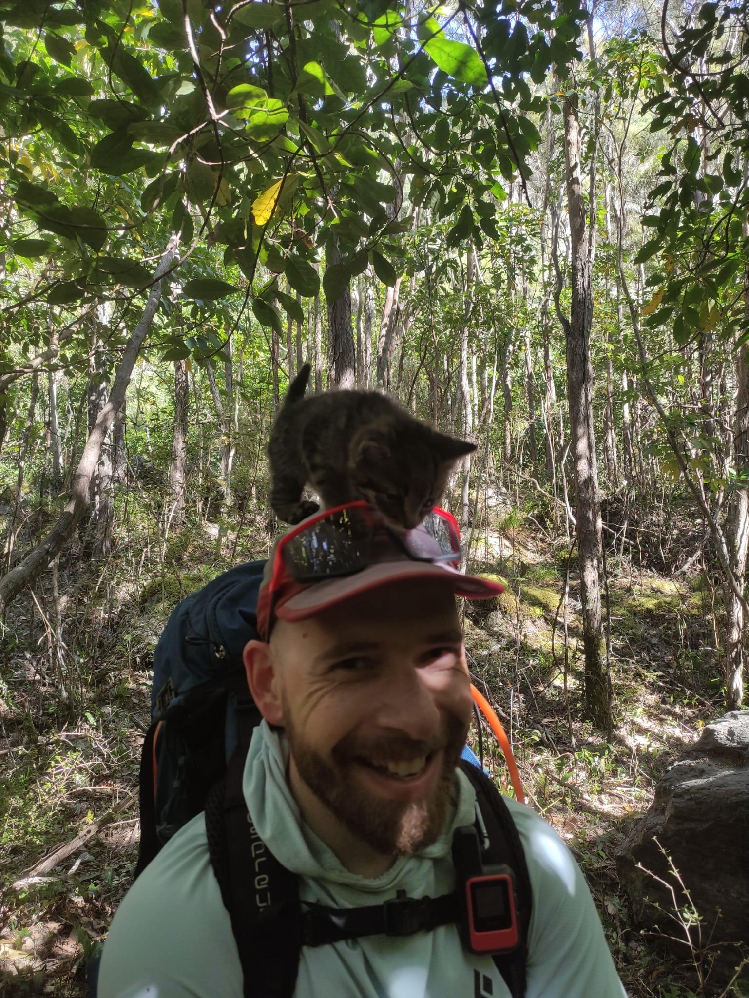
Shortly before we reached the slip bypass, we heard some mewing and then found a kitten standing in the middle of the track! It didn’t look to be more than a few months old, and its parent was nowhere to be seen. It was very friendly and wanted to hang out so I decided to try to carry it out to the road end, but it was too fidgety and I ended up leaving it. I know that the correct thing to do (ecologically speaking) would have been to kill it, but none of us could bear to do that. Later, we would also find out that the hunters saw the kitten the day before and also couldn’t kill it. Doh. Sorry, native bird life.
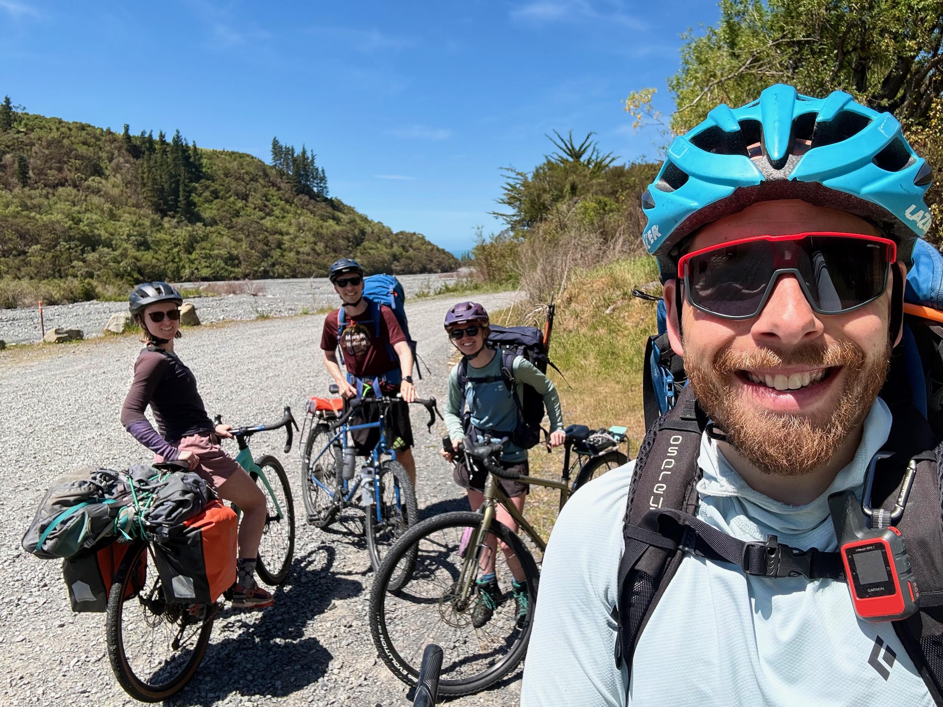
The track is fairly uninteresting once it enters the riverbed after the slip, and you will find yourself at the road end soon enough. We stopped there for a bite to eat, a coffee top-up, and to set up our bikes for the pedal back to the car. While all of this was happening, the hunters also got their dog back! It turned out that she had gone back to the car and someone had reported her to the local animal people and she had been picked up for safekeeping.
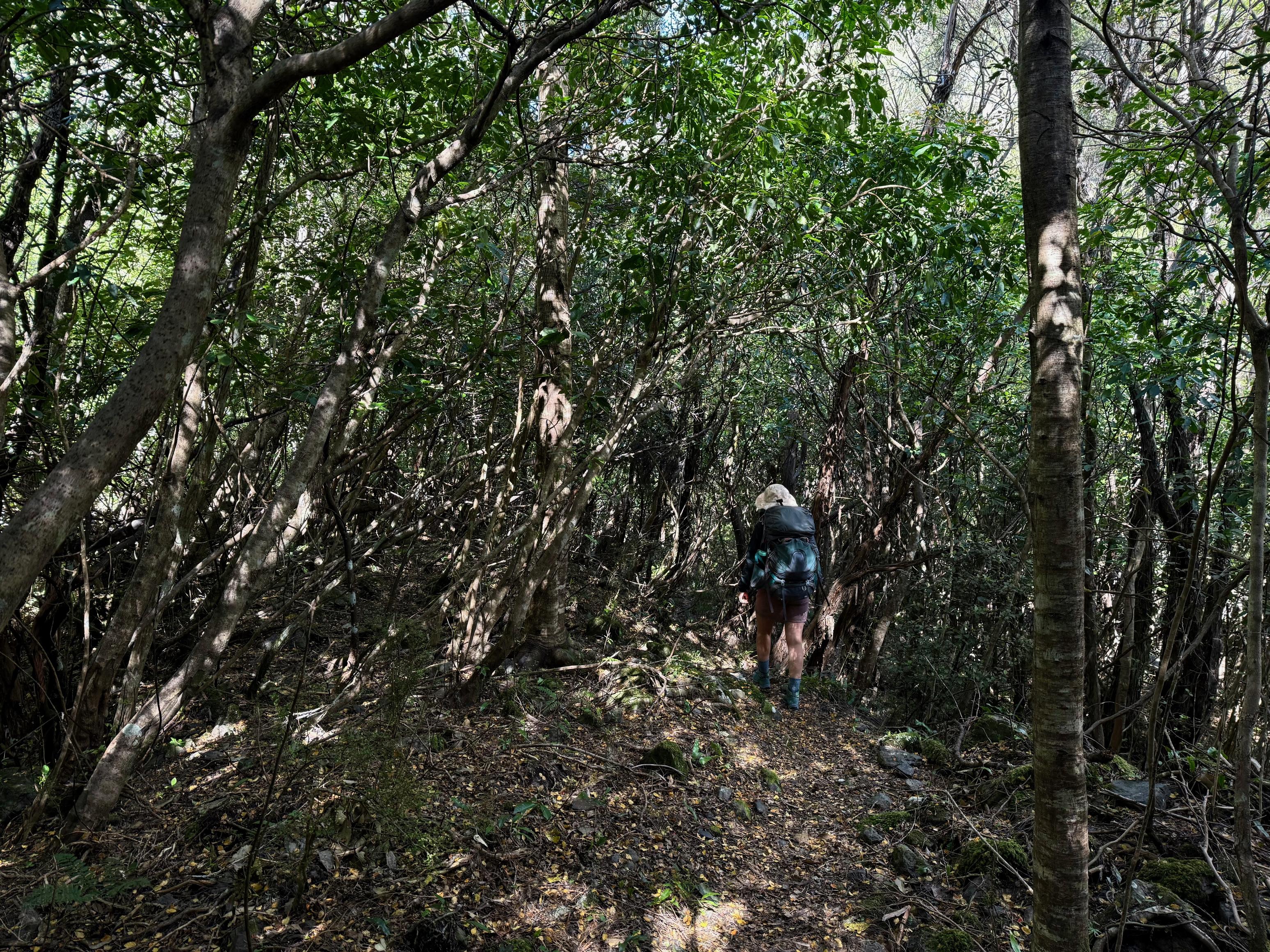
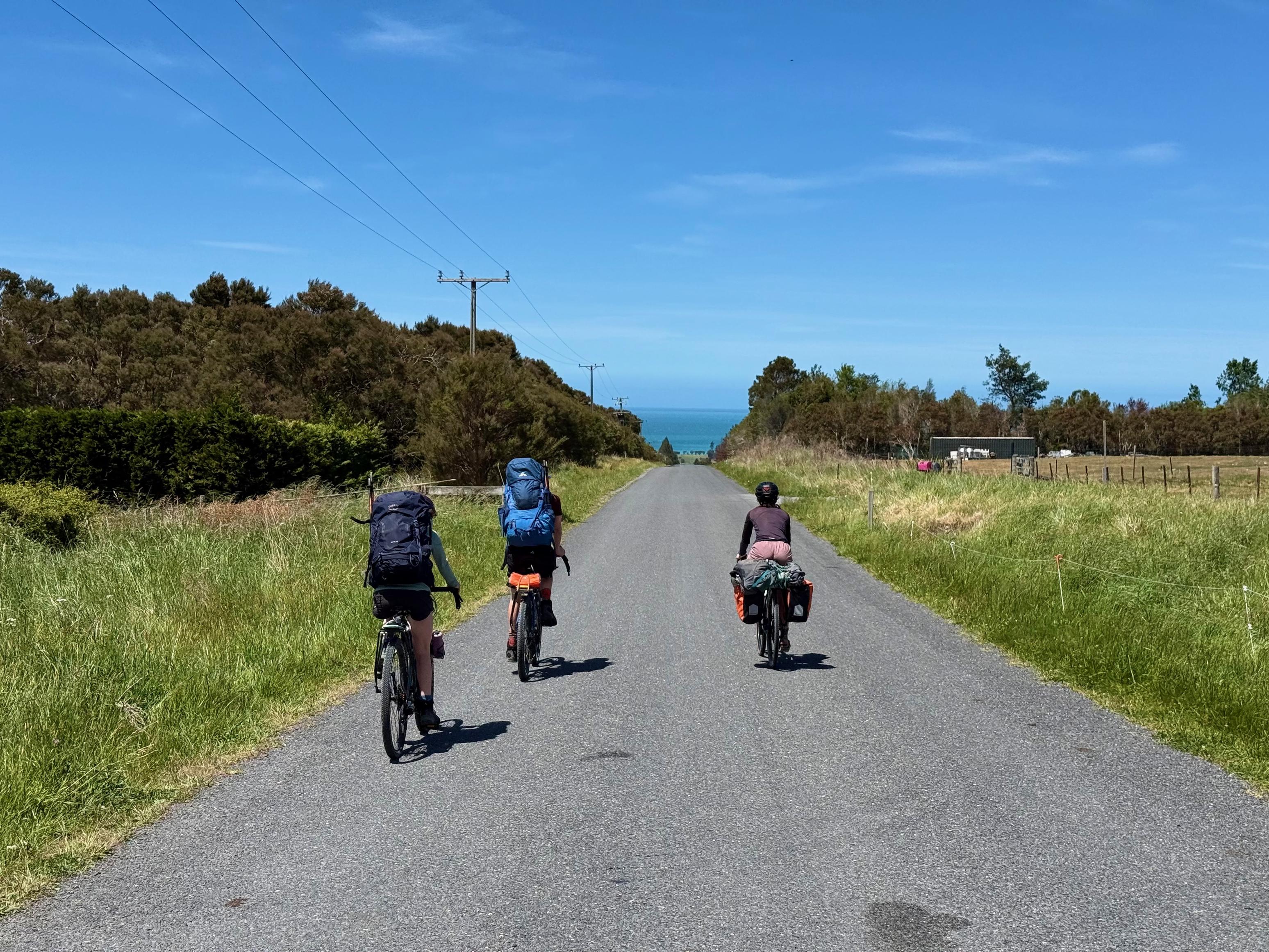
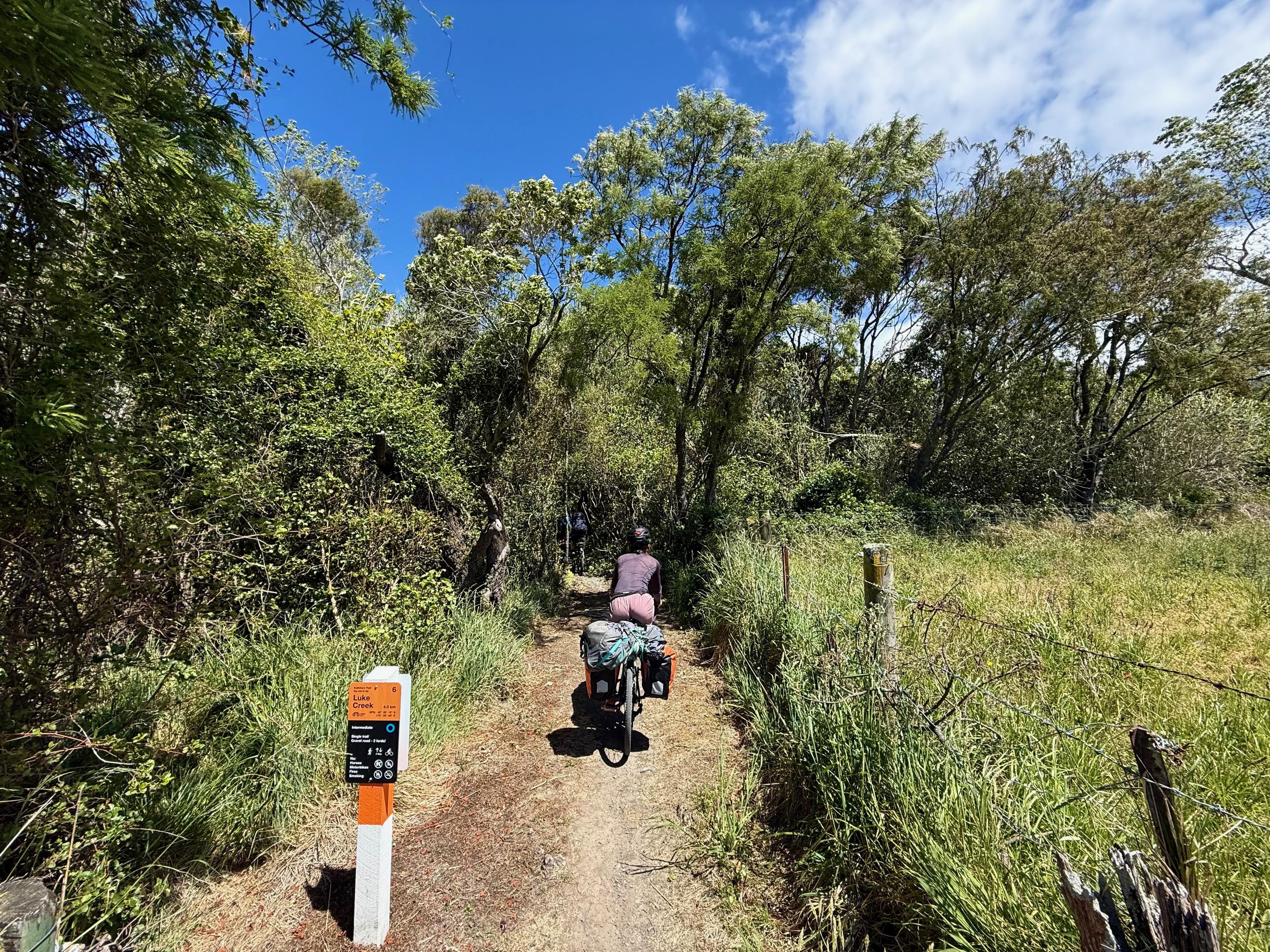
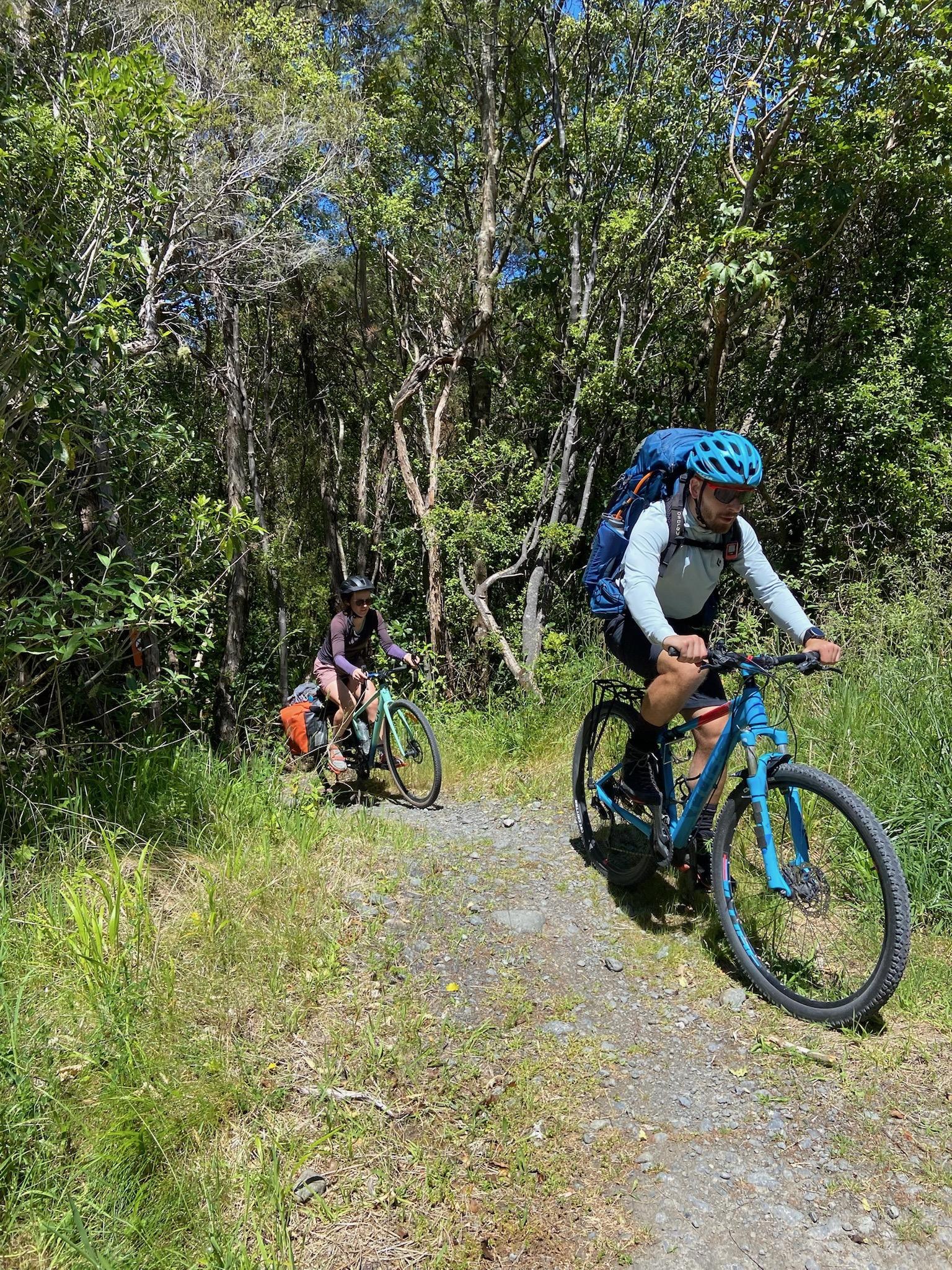
With backpacks weighing us down, we set off. The first few kms are all on the road, travel is fairly easy. There is some lovely scenery to look at, too! After you turn down Koura Bay Drive and pass the golf course, you enter the first trail section through the forest. From there is another road section followed by a similar trail section, one more road section and then a longer leg on the true left (east) side of the Kōwhai River through the more mature forest. This section was really nice, although we were all battling in the heat! Jen also found a couple of parts challenging with all the weight on the back of her bike; it very quickly put her off-balance if the bike got tipped over at all. Stressful!
We were all very pleased to reach the car after 90 minutes of cycling, and were even more pleased to buy a lot of food and cold drinks at the Night ’n Day before driving home.
☕️ Muesli & coffee
🥜 Nut bar x2
🌮 Hummus & cheese wrap, coffee
📷: Finn Le Sueur
📷: Finn Le Sueur
📷: Michael T
📷: Finn Le Sueur
📷: Finn Le Sueur
📷: Finn Le Sueur
📷: Finn Le Sueur
📷: Claire B