Kelly - Hunts - Taipo Circuit
Activity Date:
Updated:
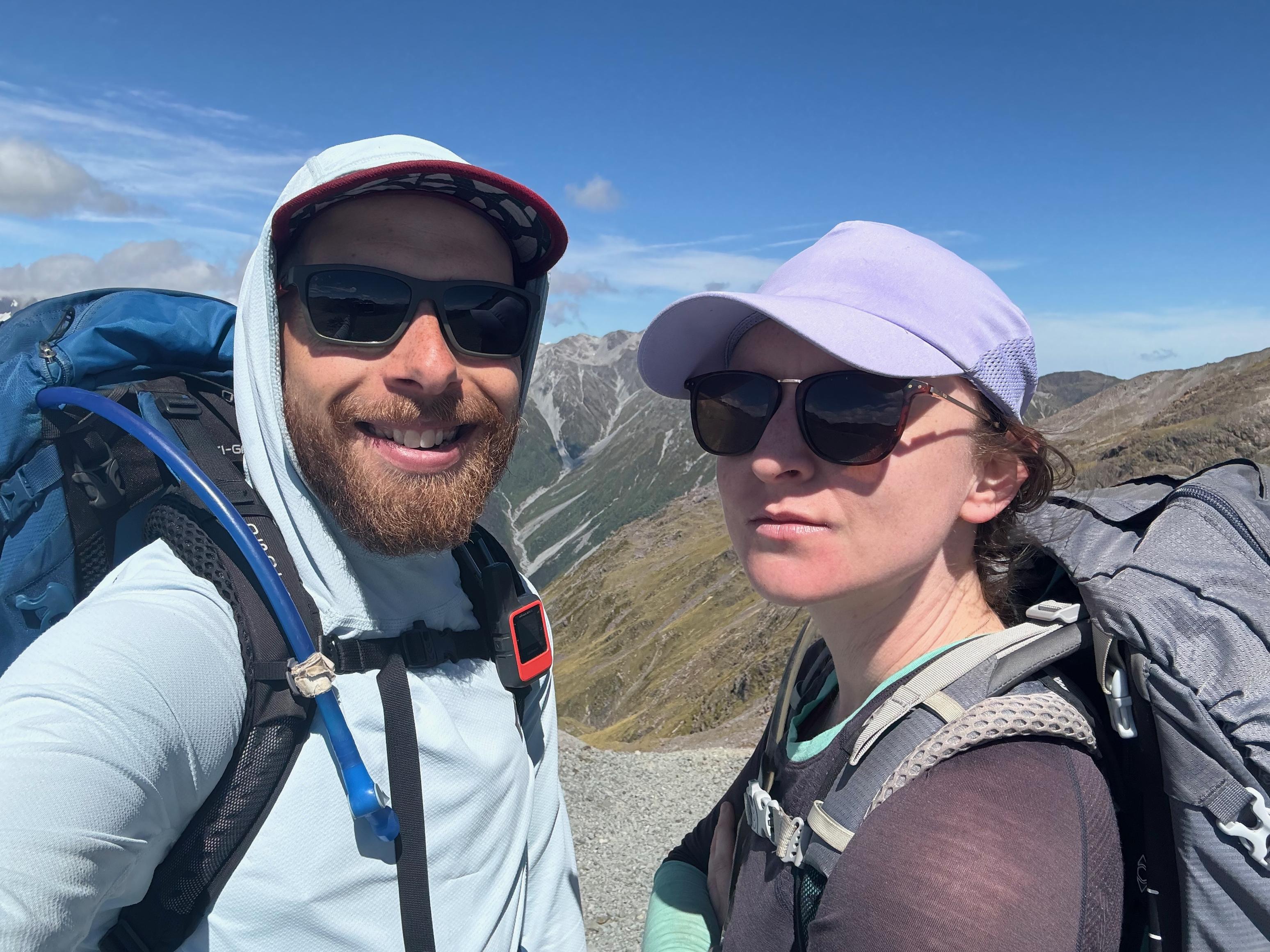
People:
Finn,
Jen
| Fri Jan 17, 2025 Download GPX D1: To Carroll Hut | 4.32km 1:35:15 | 2.72km/hr 782m ⬆️, 21m ⬇️ |
| Sat Jan 18, 2025 Download GPX D2: To Hunts Creek Hut | 11.88km 5:19:50 | 2.23km/hr 778m ⬆️, 1018m ⬇️ |
| Sun Jan 19, 2025 Download GPX D3: To Mid Taipo Hut via Dry Creek | 11.37km 6:21:59 | 1.79km/hr 805m ⬆️, 1312m ⬇️ |
| Mon Jan 20, 2025 Download GPX D4: Out via Dillon and Carroll Huts | 22.12km 8:20:44 | 2.65km/hr 1535m ⬆️, 1533m ⬇️ |
| Total | 49.68km 21:37:48 | 2.30km/hr 3900m ⬆️, 3884m ⬇️ |
Comments Section
Day 1: To Carroll Hut
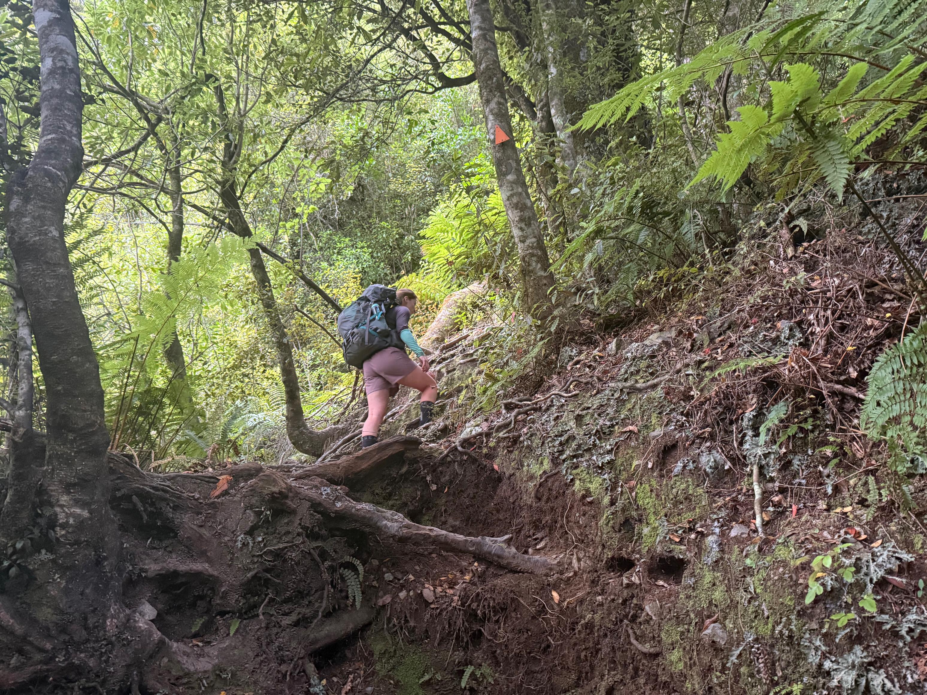
We set off in the afternoon knowing that the hike to Carroll Hut was relatively short and that we would be able to do it reasonably quickly. It was humid and steep, but we were stoked to knock it out in about ~1:30. On our last trip in the area (Newton - Three Passes) we really enjoyed all of the red on the hillsides from the Southern Rata, and we were stoked to see they were still in bloom. Just stunning.
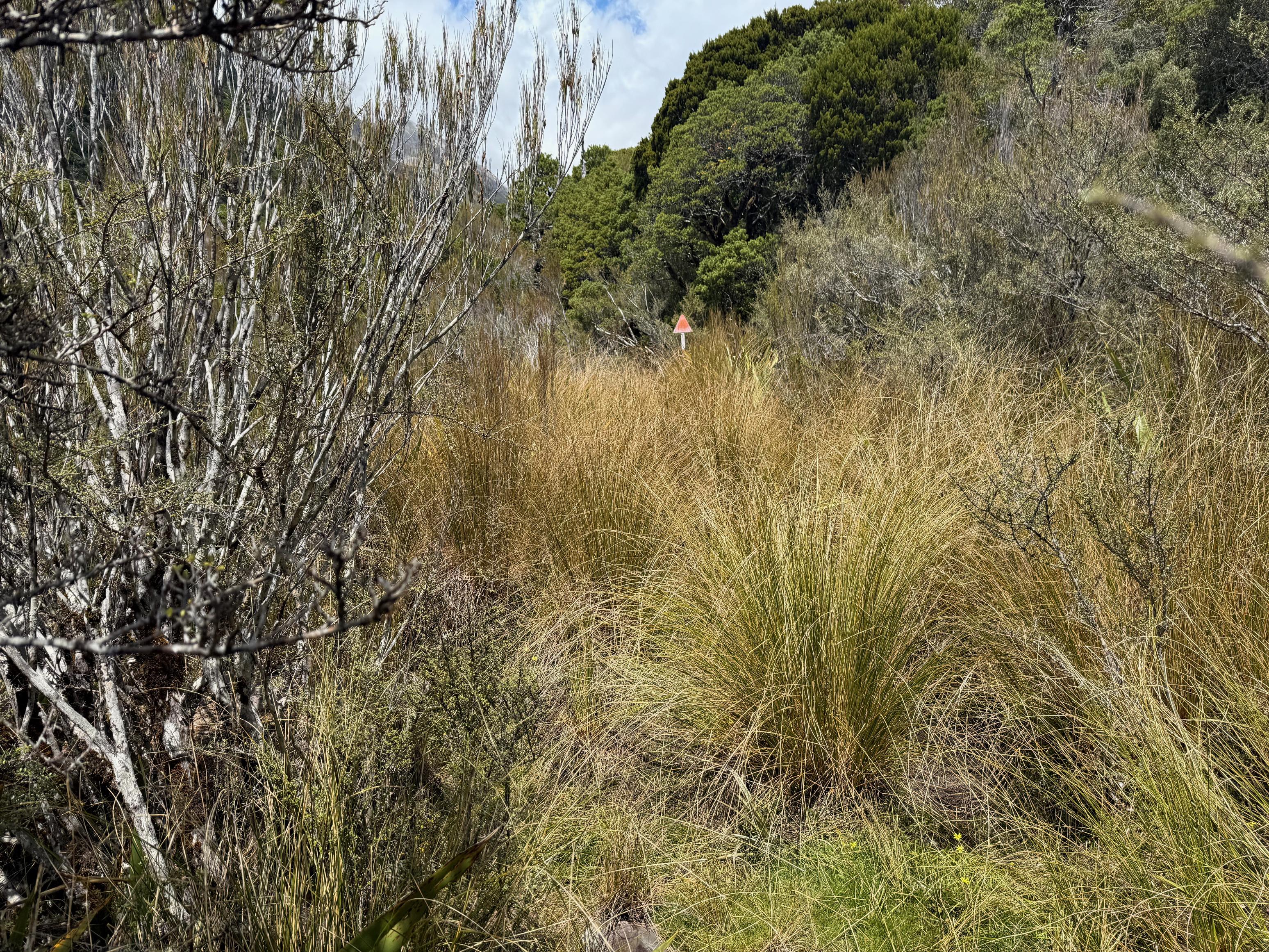
The track climbs unrelentingly through the bush and only relaxes a little bit once you reach the treeline. From there it sidles and climbs towards the hut while putting the most stunning views on offer. You can see Otira and the viaduct. Super cool!
There was only one other person at the hut which was nice. We had a lovely dinner (thanks, Jen!) that included fresh veges and flatbreads from home and then climbed into bed. Just after 11pm a family came into the hut and we found out in the morning that there was kea attacking their tents into the night and that they decided to call it quits and come inside. It was also raining a little bit, so it was probably a good call all around.
🍴 Homemade flatbreads with falafel, cucumber, cherry tomato, and hummus.
🍫 A hot chocolate and some actual chocolate.
📷: Finn Le Sueur
📷: Finn Le Sueur
📷: Finn Le Sueur
📷: Finn Le Sueur
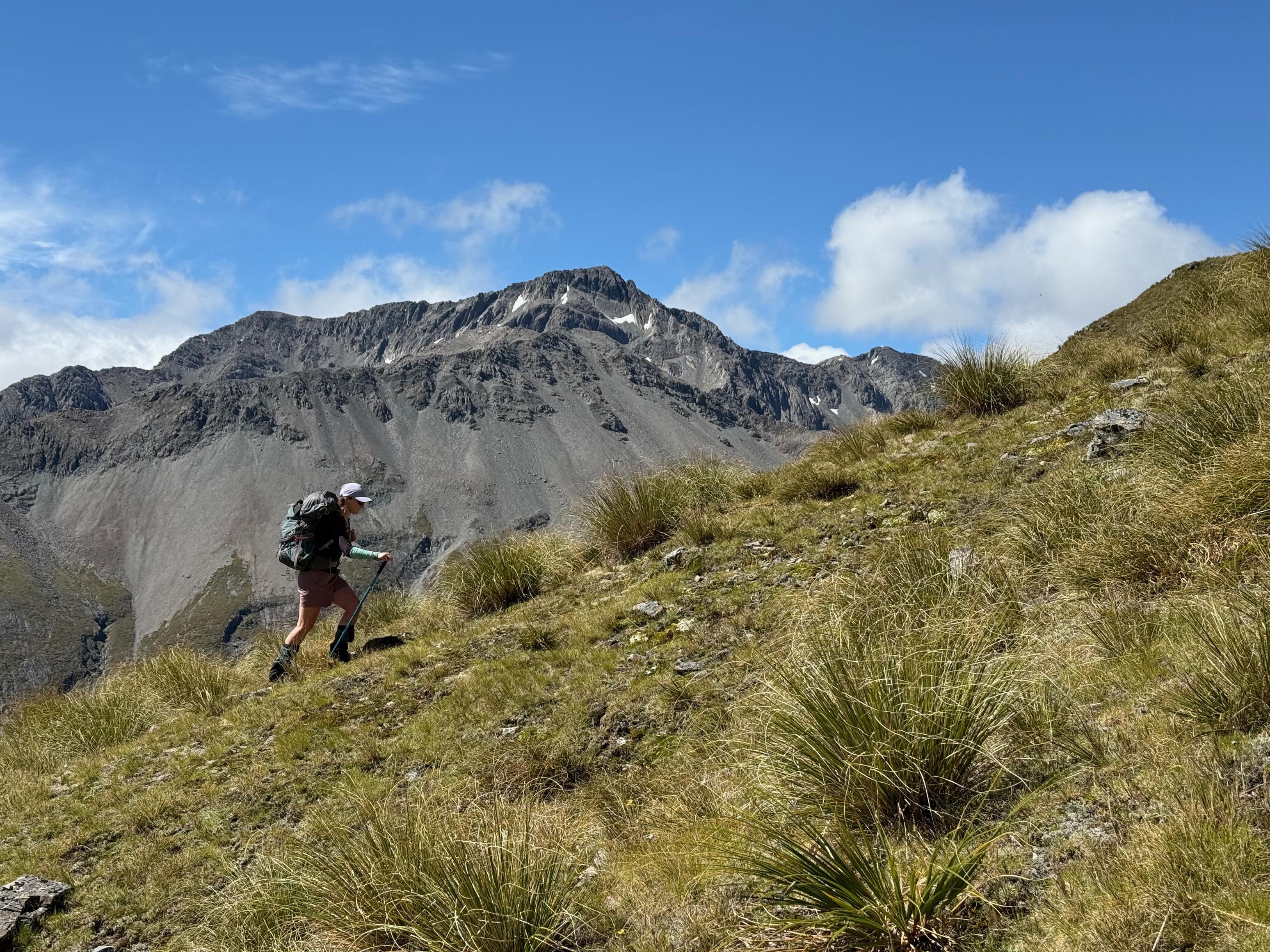
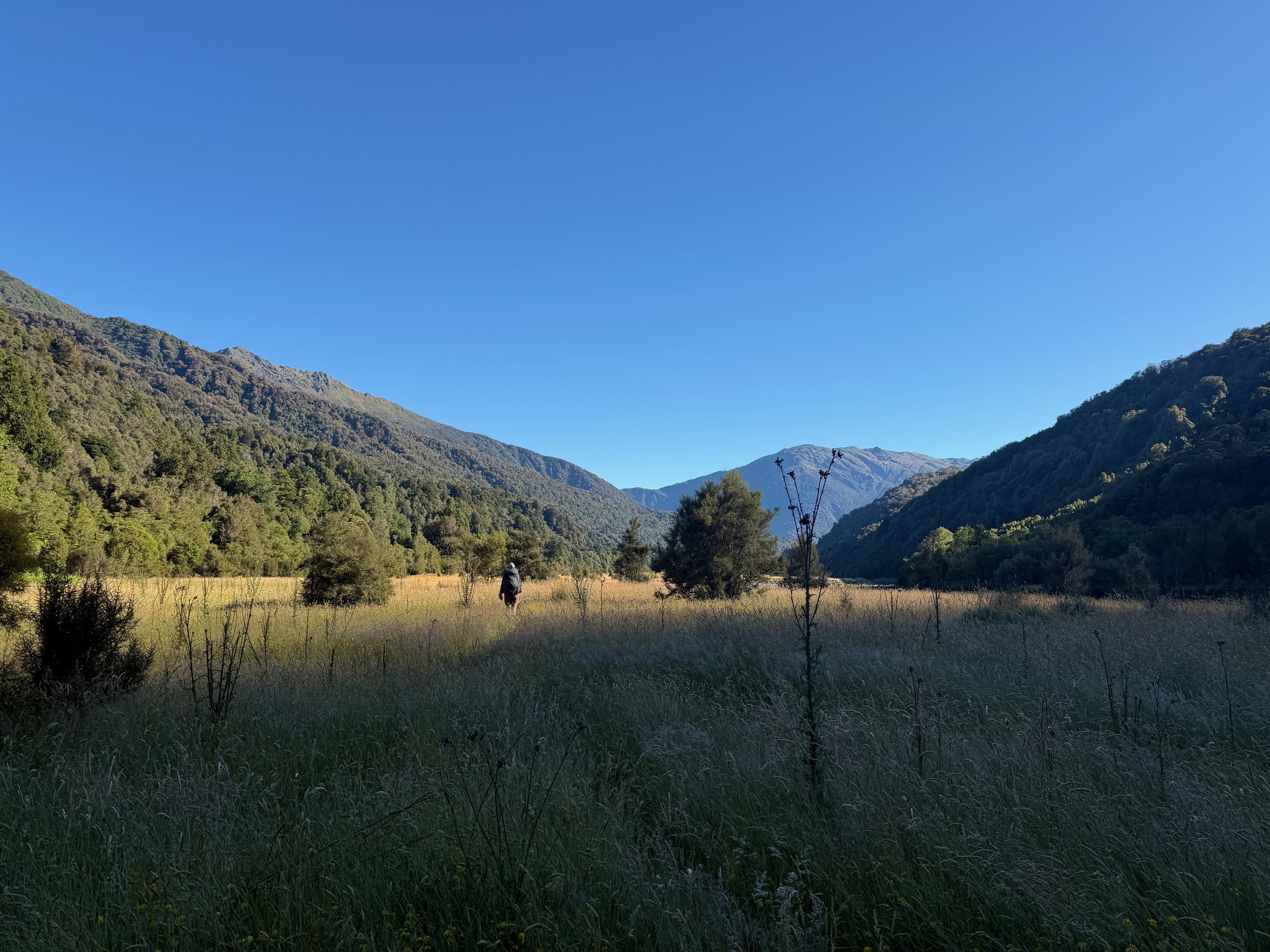
Day 2: To Hunts Hut
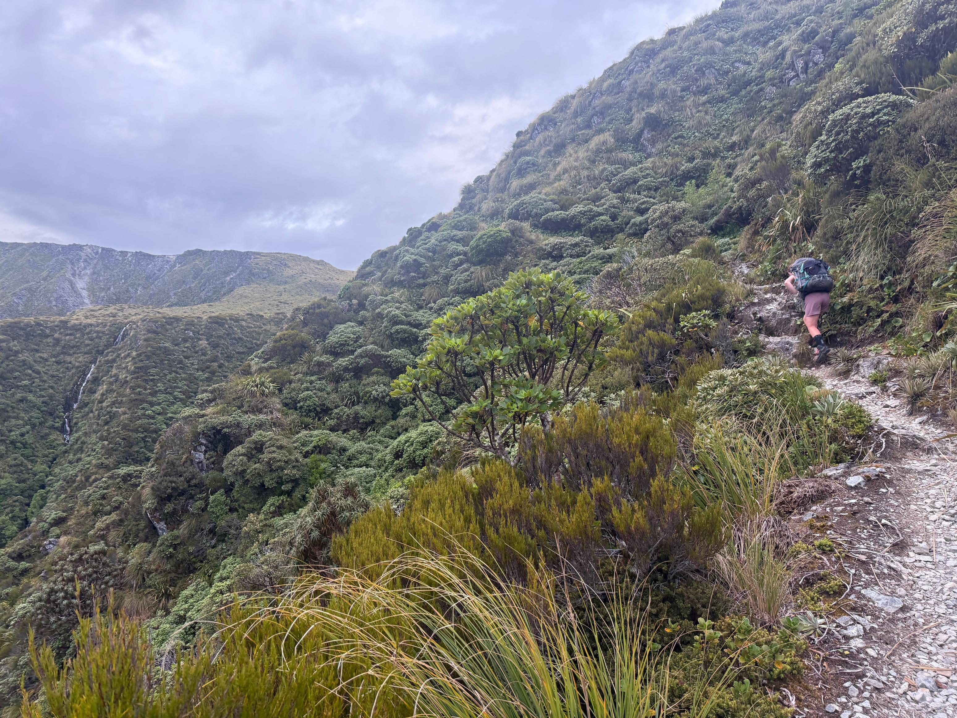
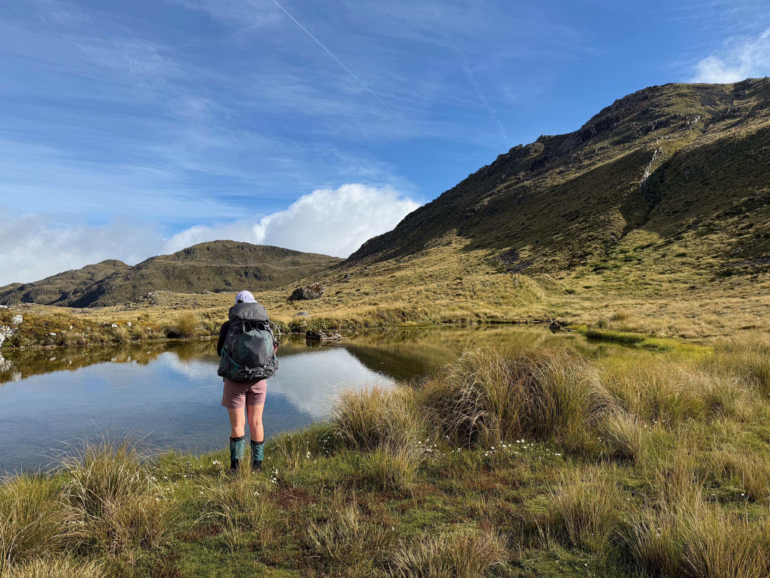
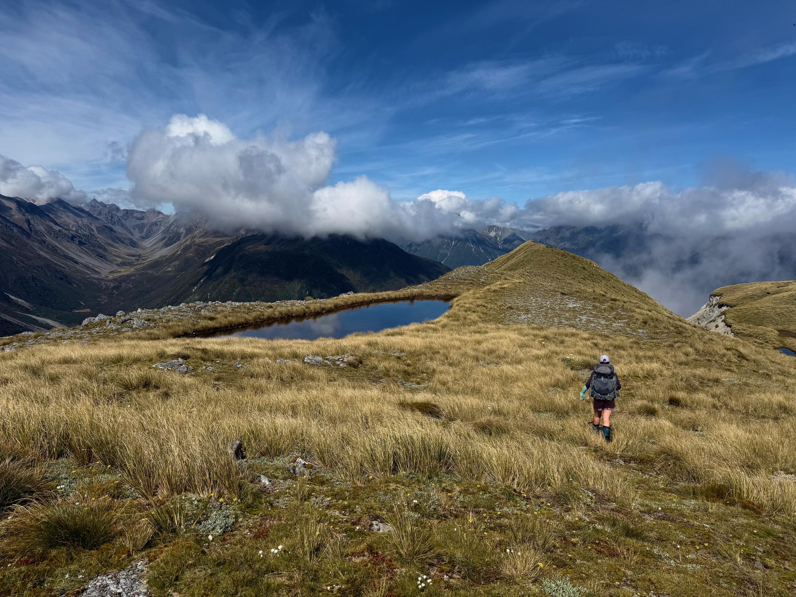
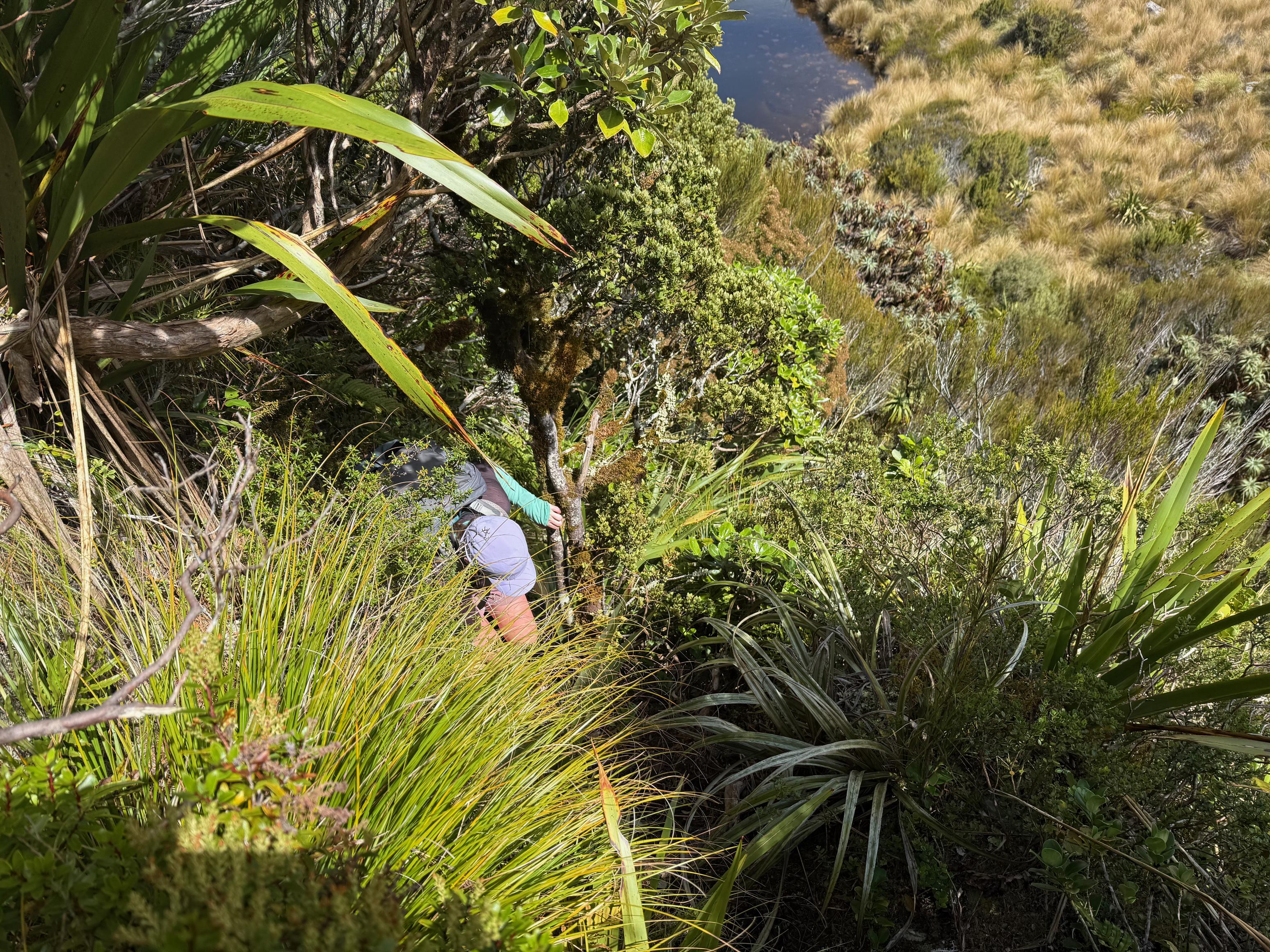
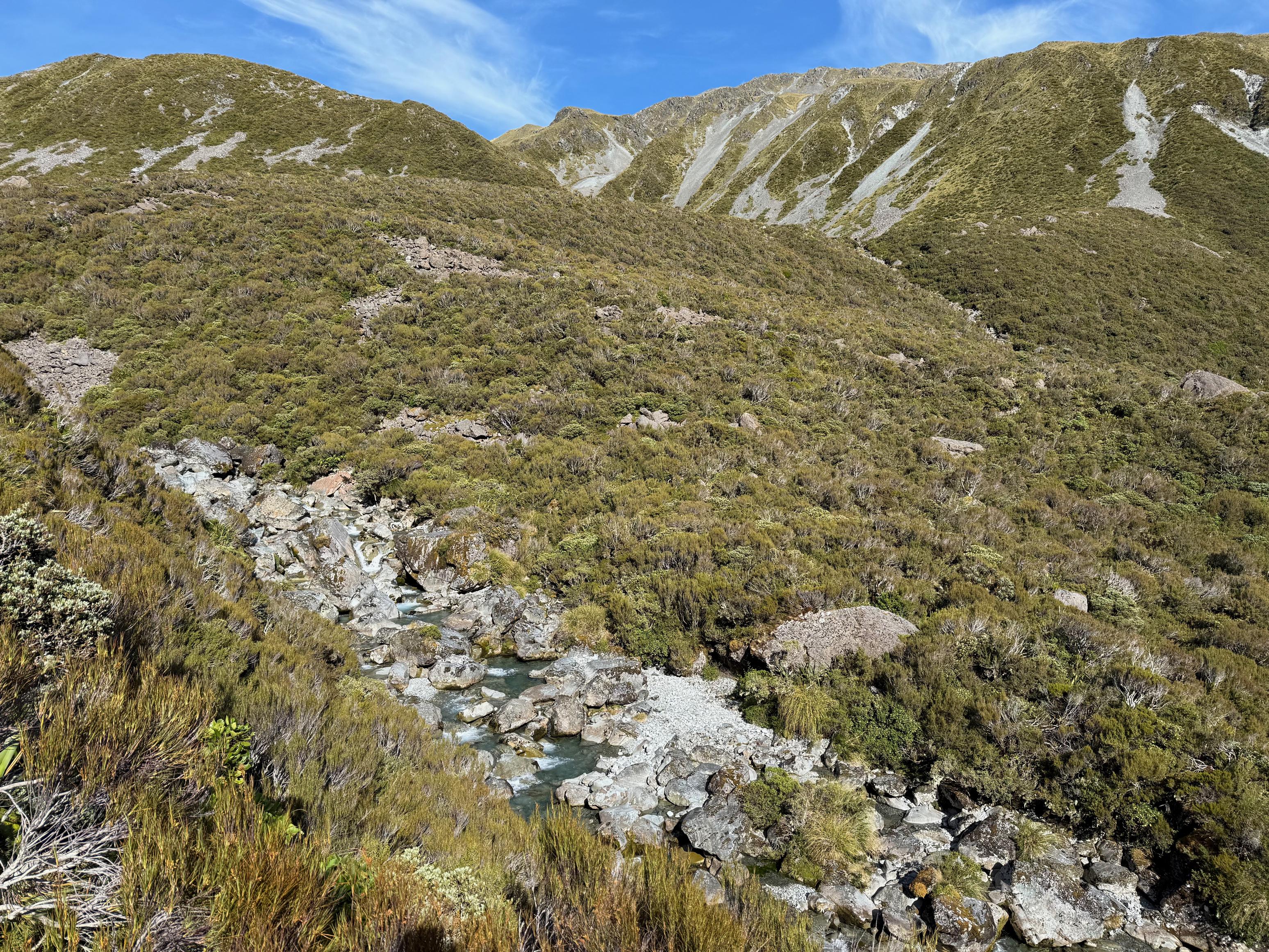
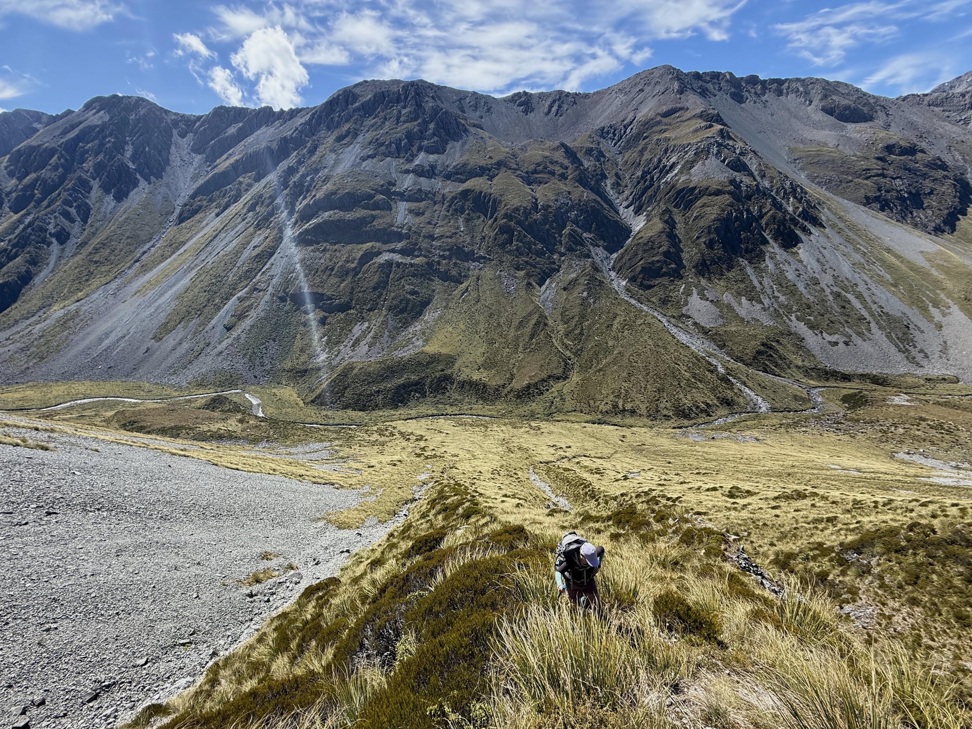
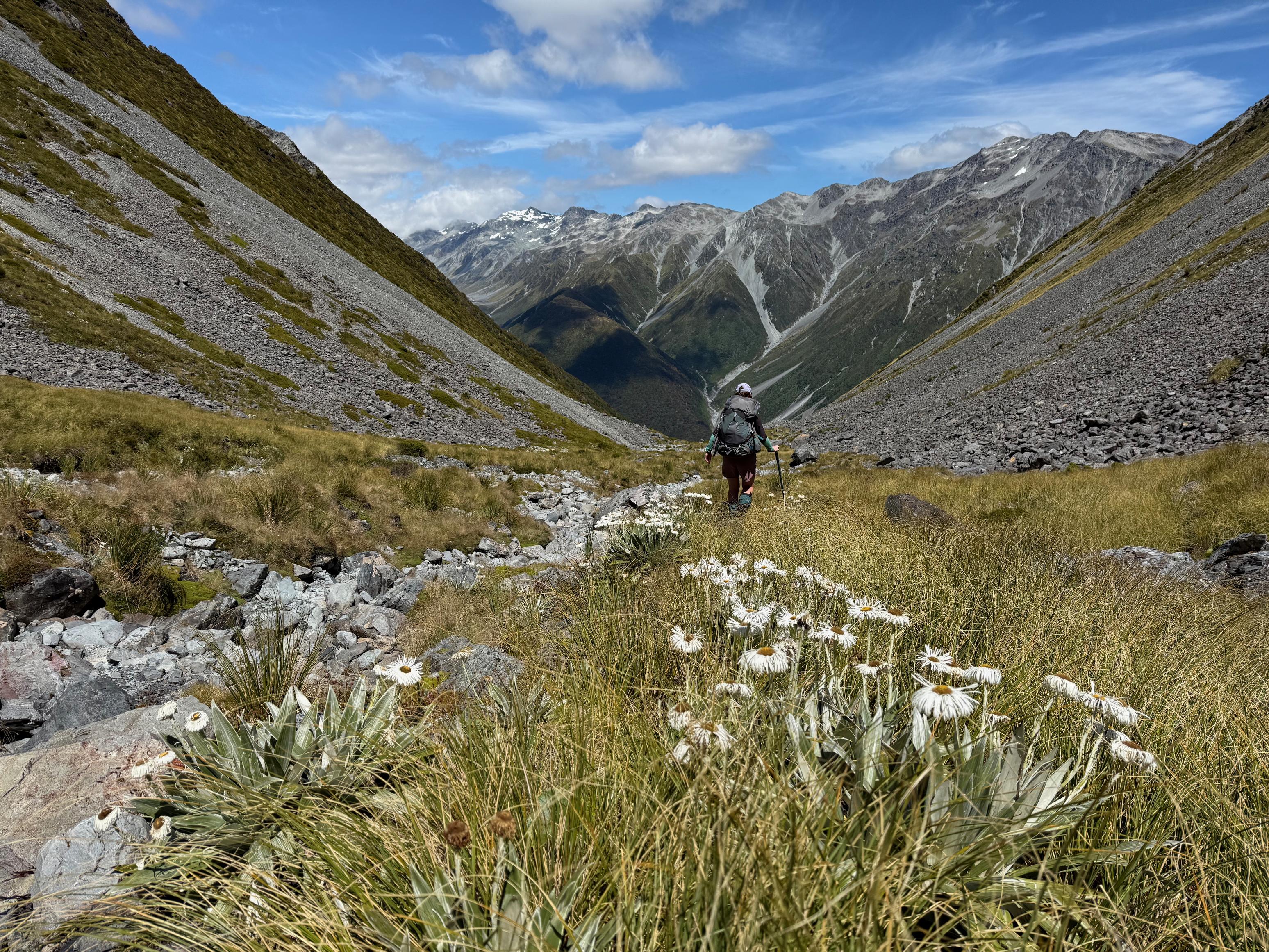
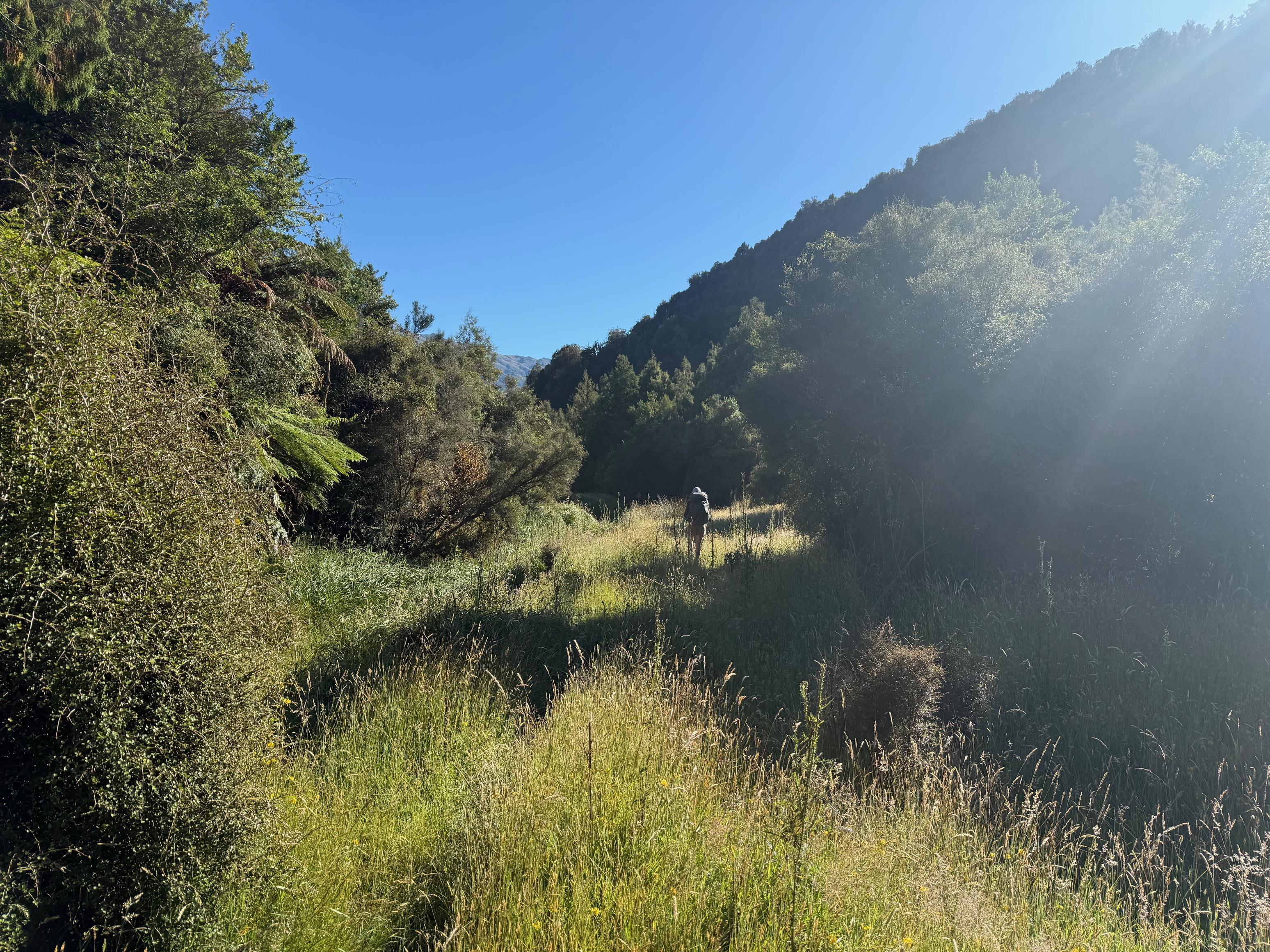
We weren’t in any major hurry to leave today with Remote Huts describing the route via the Kelly Range as taking 4-5 hours. We took it slow and enjoyed the scenery – especially the view up the valley containing Hunts Creek. Just spectacular! We started by following the track that eventually descends to Seven Mile Creek but turned off at the tarns and veered towards Pt. 1411. From there it was a straightforward amble along the tops past Pt. 1313 and then descending to the two tarns. We didn’t find the descent to the tarns very easy to follow – the route is not obvious and the low scrub becomes quite dense and hard to navigate. After the tarns, the route climbs back up the ridge for ~20m before the route down to the marsh reveals itself. We were pleased that it hadn’t rained much in recent days and that the marsh was relatively easy to traverse. It would be a very muddy affair otherwise!
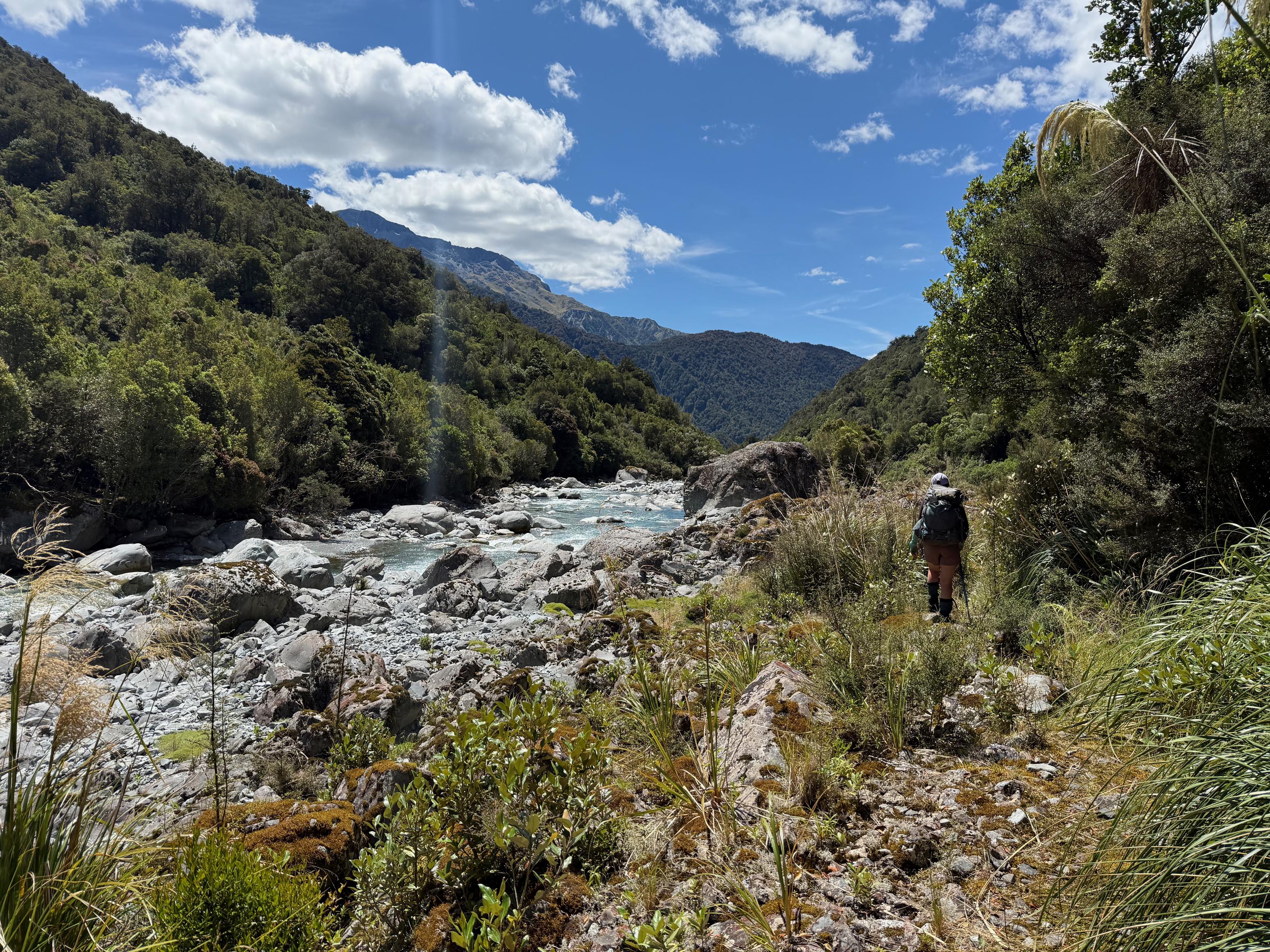
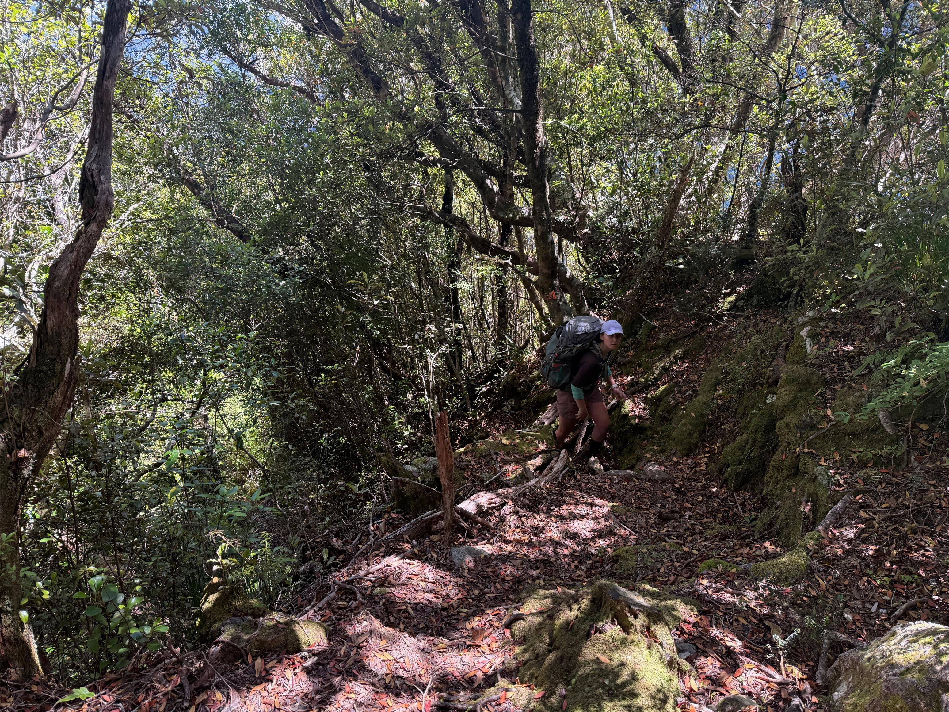
From the marsh the route descends alongside (and sometimes in) a small creek before intersecting with the DOC maintained track to Hunt Saddle and Hunts Creek Hut. Once on the track navigation is much more straightforward, however, we found the track is a bit overgrown and very up-and-down. The Topo50 map seems to imply a track that more or less follows a contour, but that is very much not the case. It drops steep in and out of creeks, and climbs/descends steeply rather frequently. In the heat of the afternoon we battled with this section of track, but it meant that the afternoon spent in the hut was quite delightful.
☕️ Home made granola & instant coffee with dehy oat milk.
🥜 Nut bar, miscellaneous lollies, nuts/M&M/pretzel mix.
🌮 Smoked cheese and hummus in a wrap.
🍴 Dehydrated homemade dhal.
🍫 A hot chocolate and some actual chocolate.
📷: Finn Le Sueur
📷: Finn Le Sueur
📷: Finn Le Sueur
📷: Finn Le Sueur
📷: Finn Le Sueur
📷: Finn Le Sueur
📷: Finn Le Sueur
Day 3: To Mid-Taipo Hut via Dry Creek
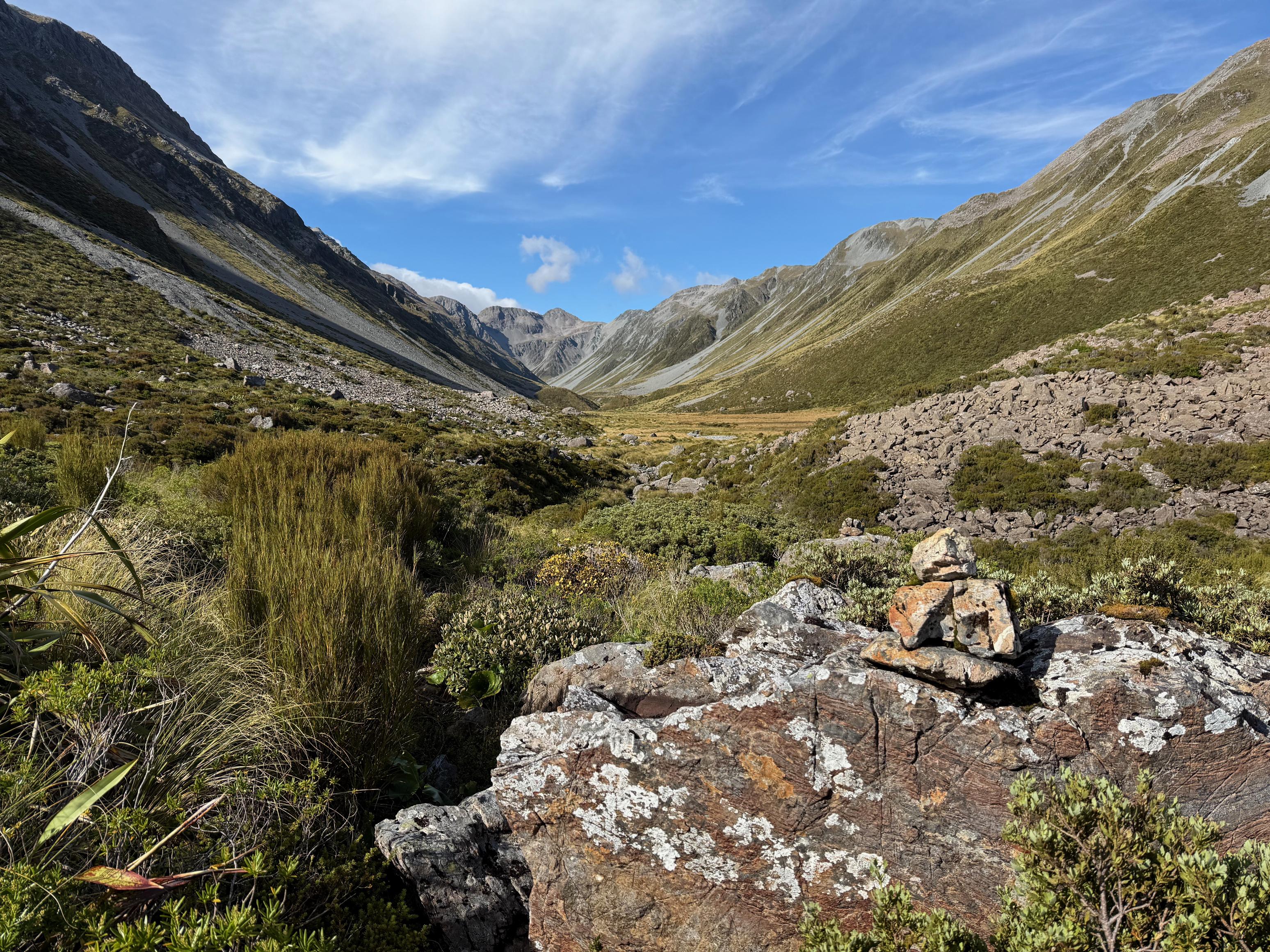
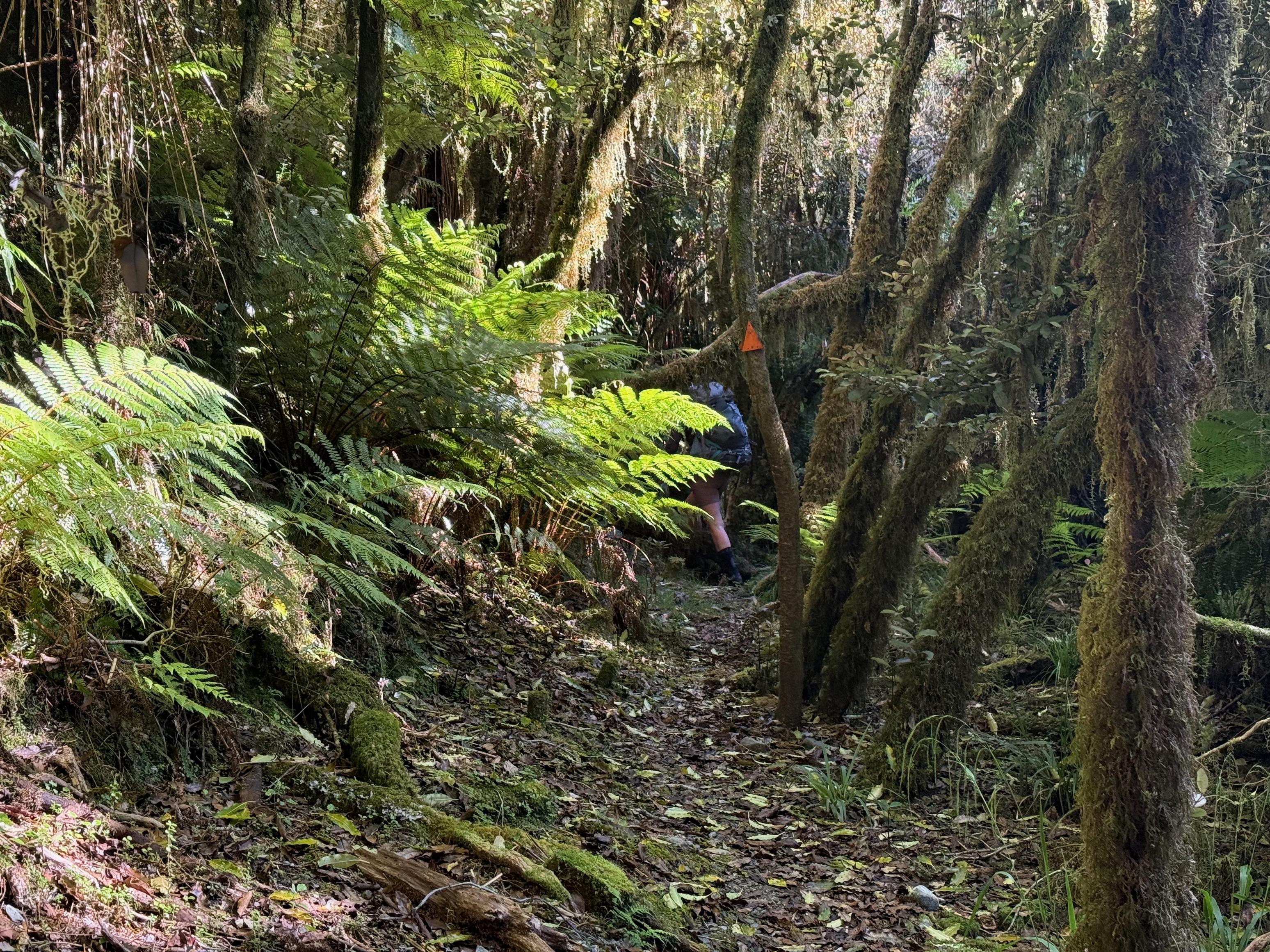
We had the hut to ourselves overnight – something that feels more and more like a rare occurance. Feeling well rested, also owing to the many hours spent lazing in the hut the previous day, we headed off for a bit of an unknown crossing into the Taipo via Dry Creek. There is mention made of it on Remote Huts but I couldn’t find any description of how long it might take, other than a group that took 8 hours to ascend Dry Creek from the Taipo side. It was also mentioned a bunch in the hut book, but no timings. Still, the sun was out, we felt good, and there was some great backcountry travel ahead of us!
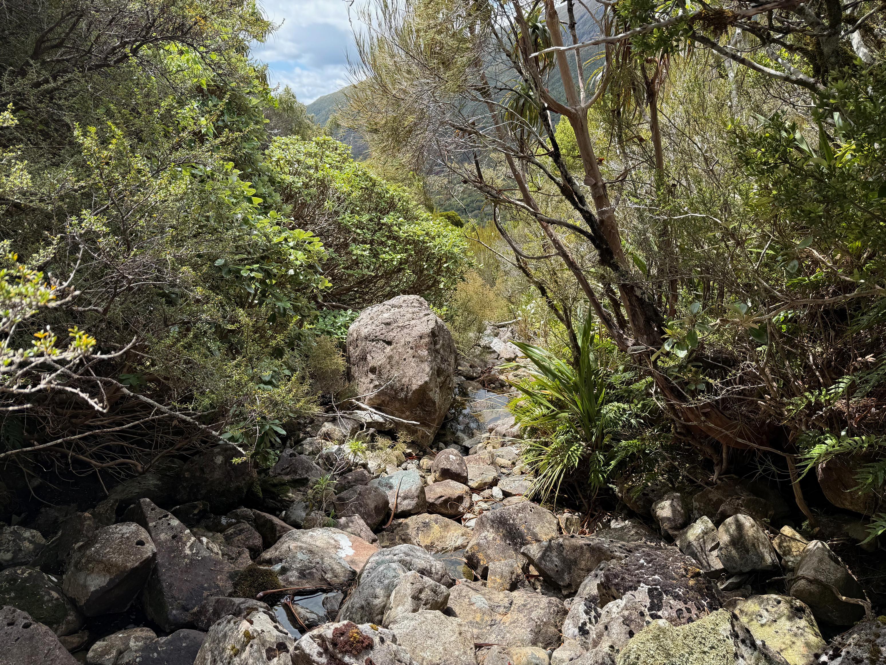
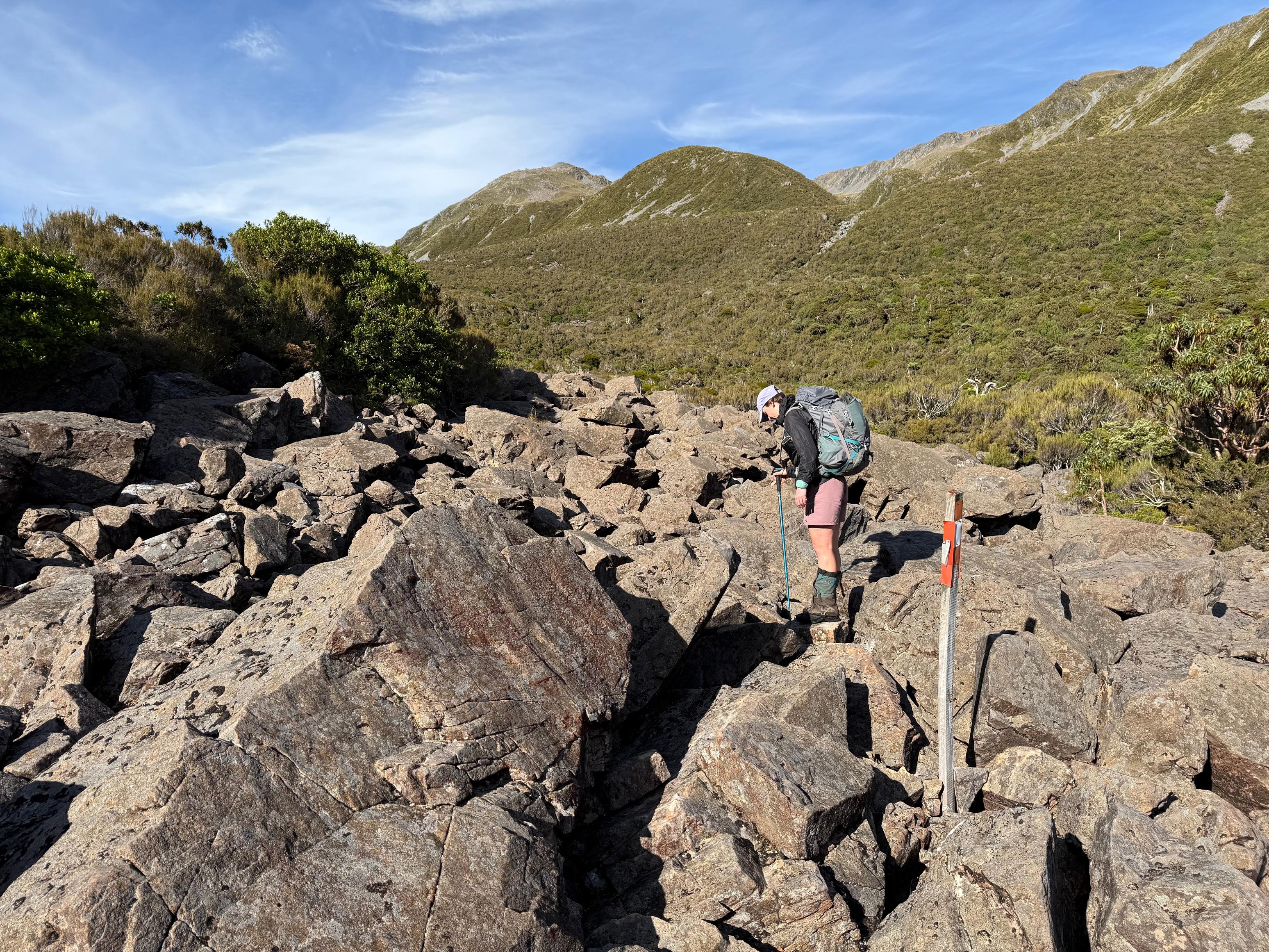
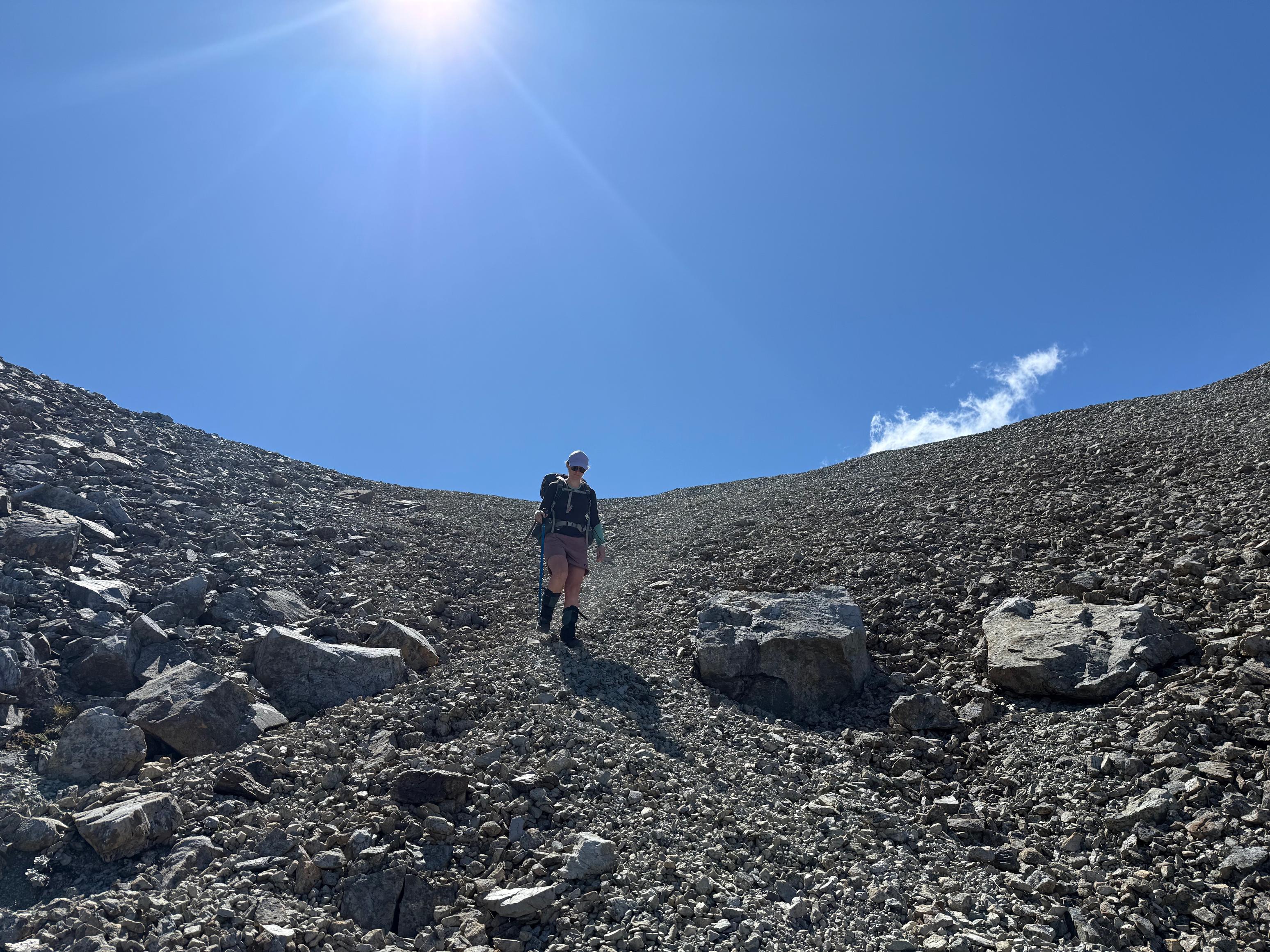
The track starts through some tall tussock and then bush before popping out into the scrub and onto a large moraine-like jumble of rocks. From here the track dissolves into the tussocks and scrub. We found the ground very rutted in the tussocks, so instead opted to walk up the creek instead once that was an option. This decision was made easier by the warmth of the day! It was very straightforward to follow the creek up until an actual moraine. After passing through the moraine we took an immediate right, climbing up toward a spur next to the prominent scree slope.
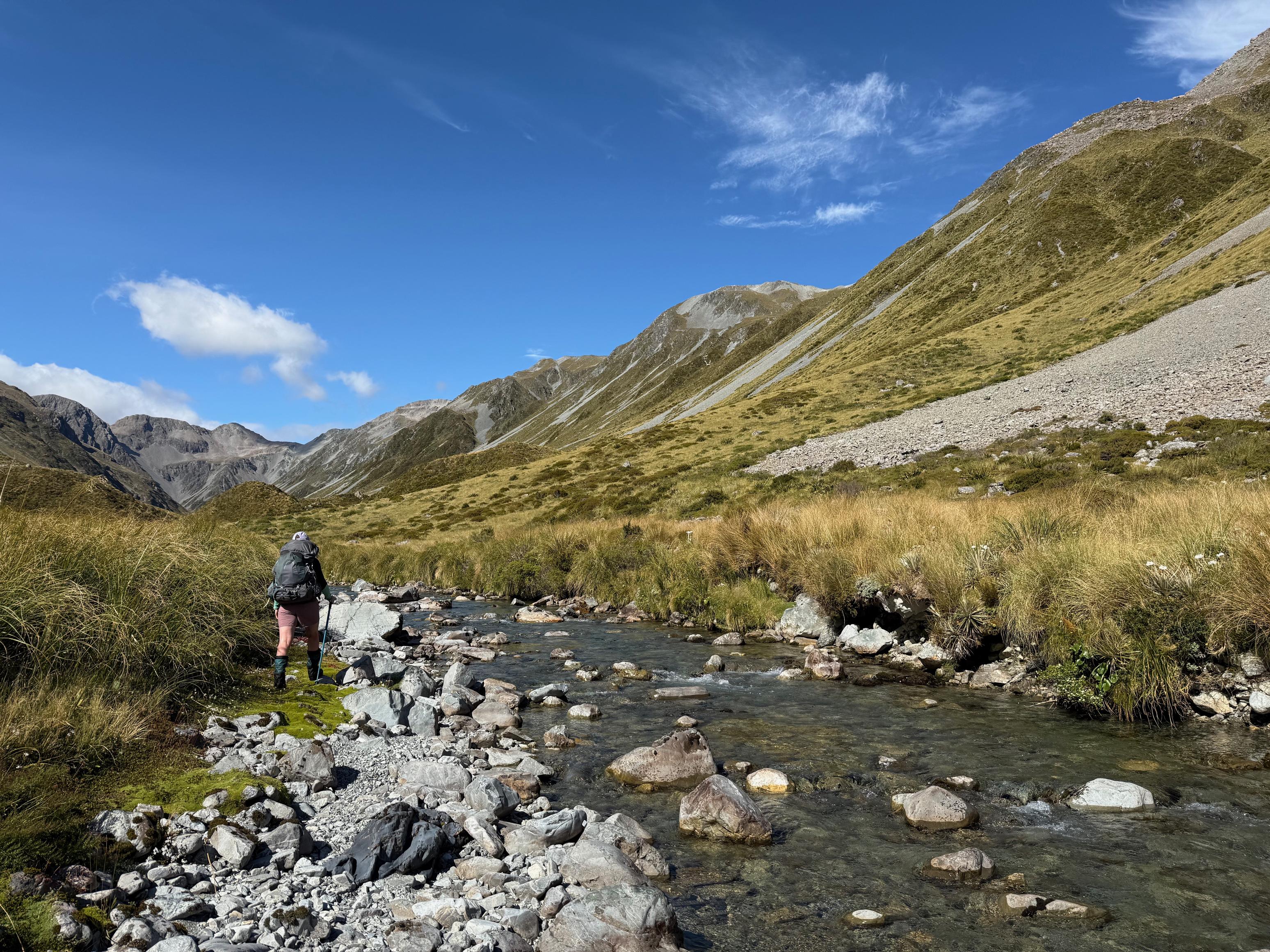
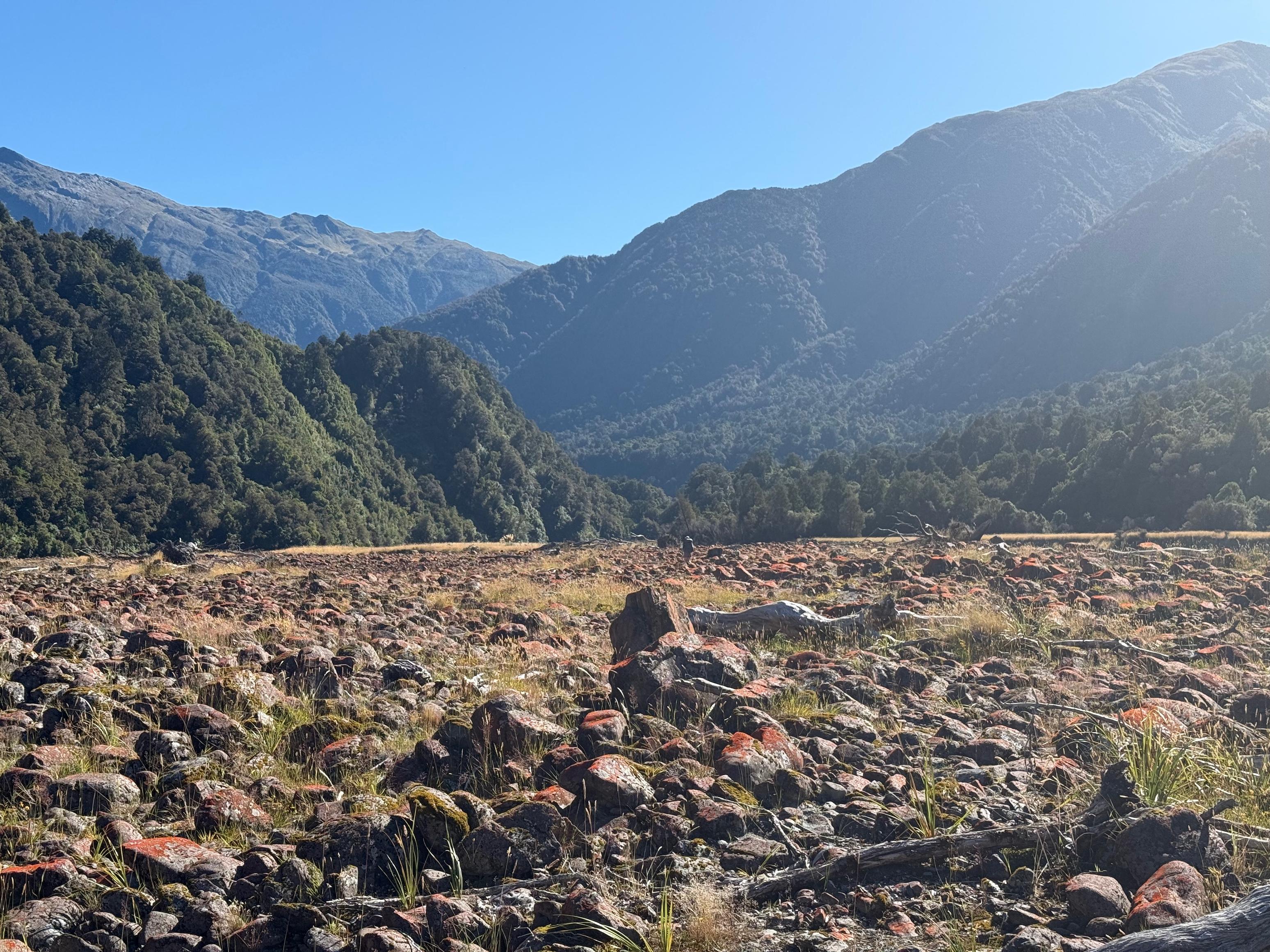
The scree slope had evidence of being walked, but we thought the spur would be easier to climb. Perhaps the scree would be better on the way down? After gaining the basin at the top of the spur we veered south-west, aiming fairly directly for the saddle between pt. 1707 and 1555. The descent of Dry Creek starts with a short section of scree before turning into pleasant tussock and riverbed travel. None of it was particularly challenging, but you had to take care with your footing. Having a single walking pole was definitely of use for this section.
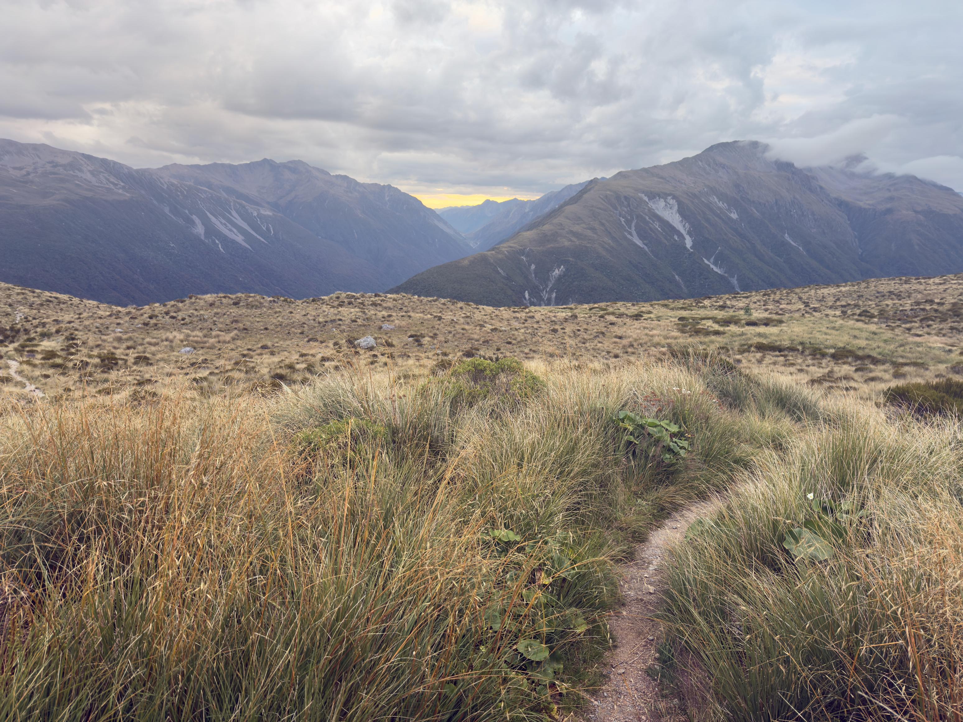
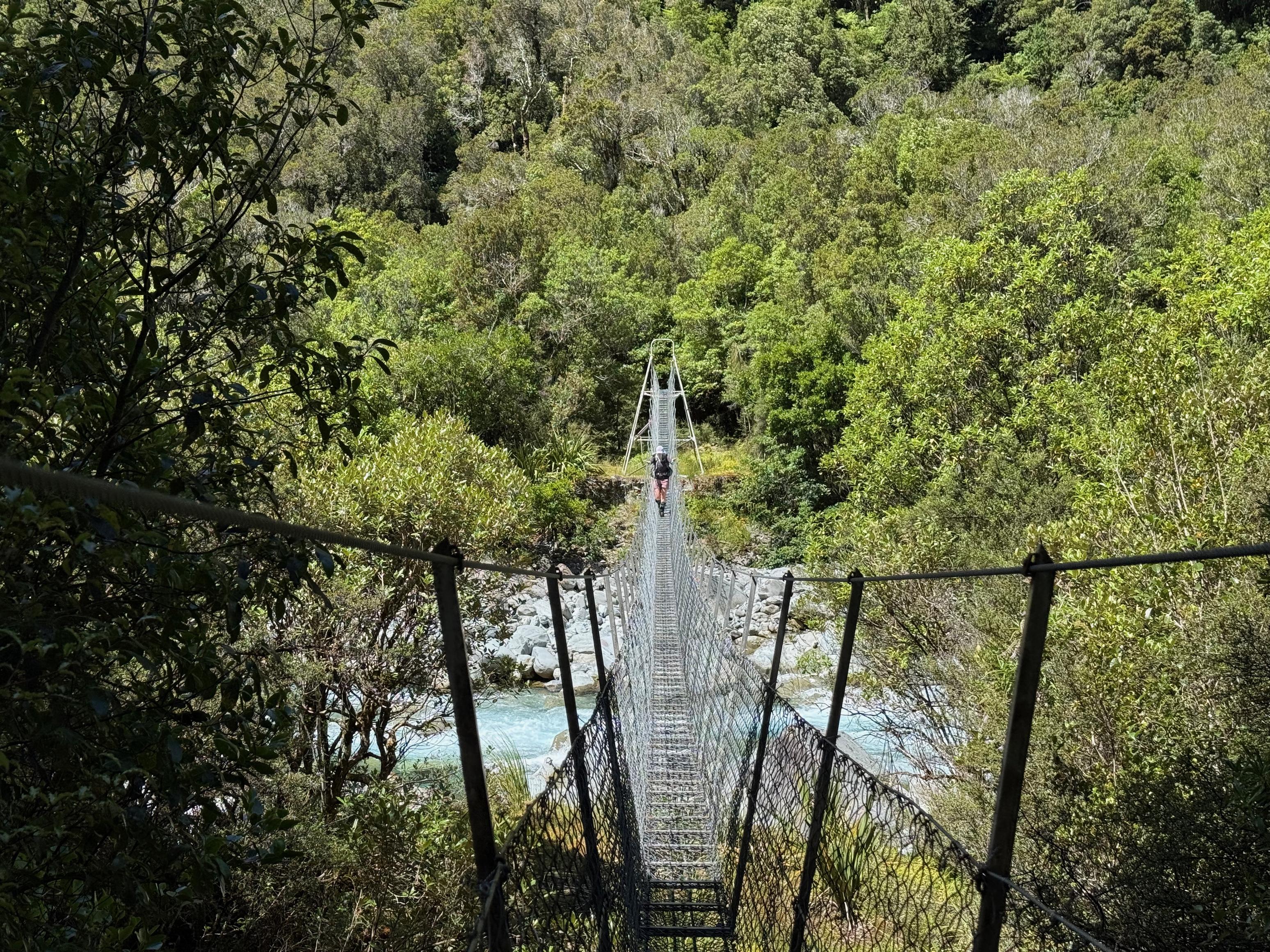
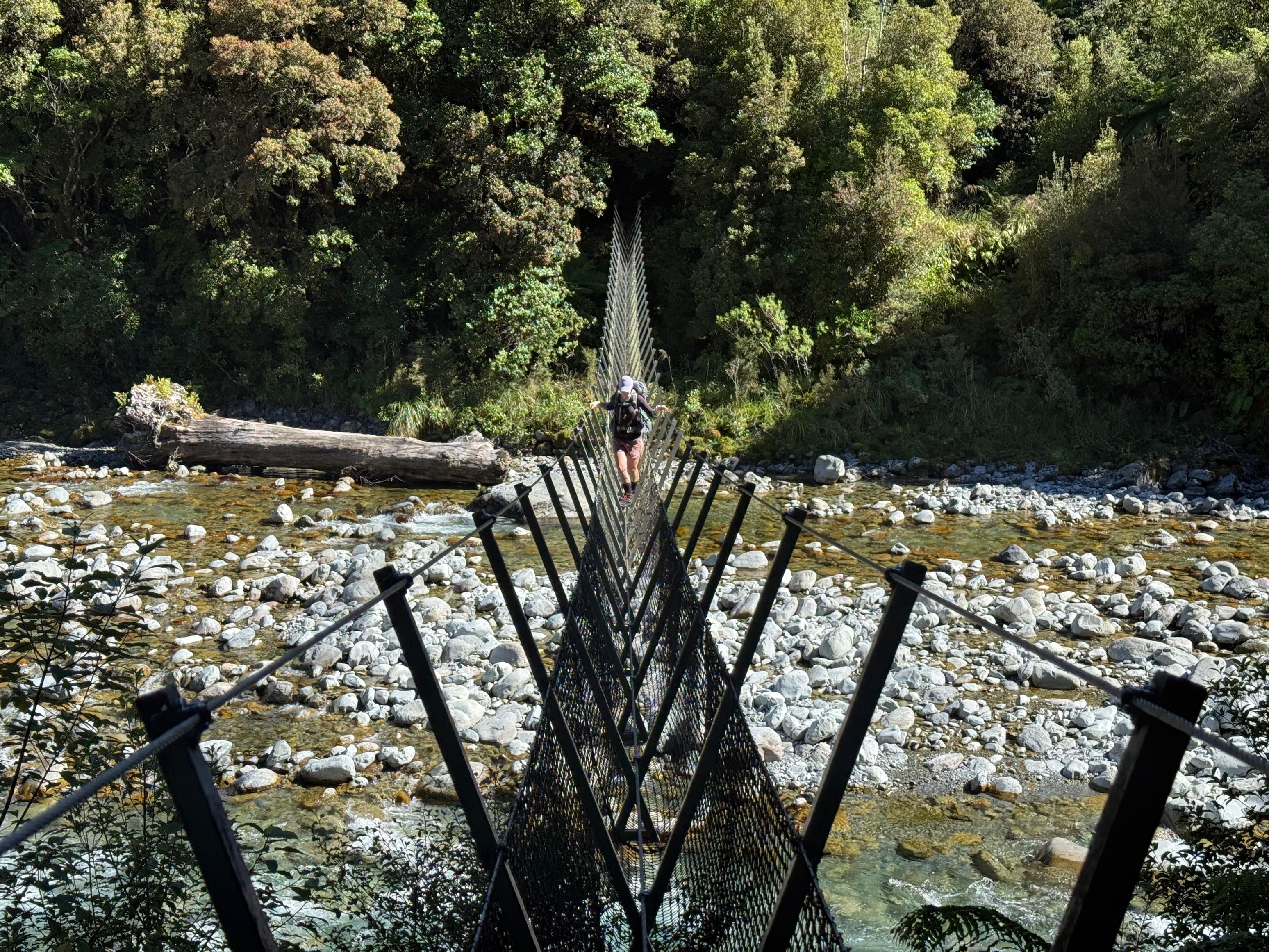
As the creek narrows, make your way down as you see fit. I would say that we stayed mostly to the true left of Dry Creek, but did hop across when a section looked a bit impassable. Where the creek intersects the Taipo River simply hop onto the trail and enjoy the cruisy track to Mid Taipo Hut. It took us about 2:45 to gain the saddle above Dry Creek and another 2:45 to descend Dry Creek (including a lunch break).
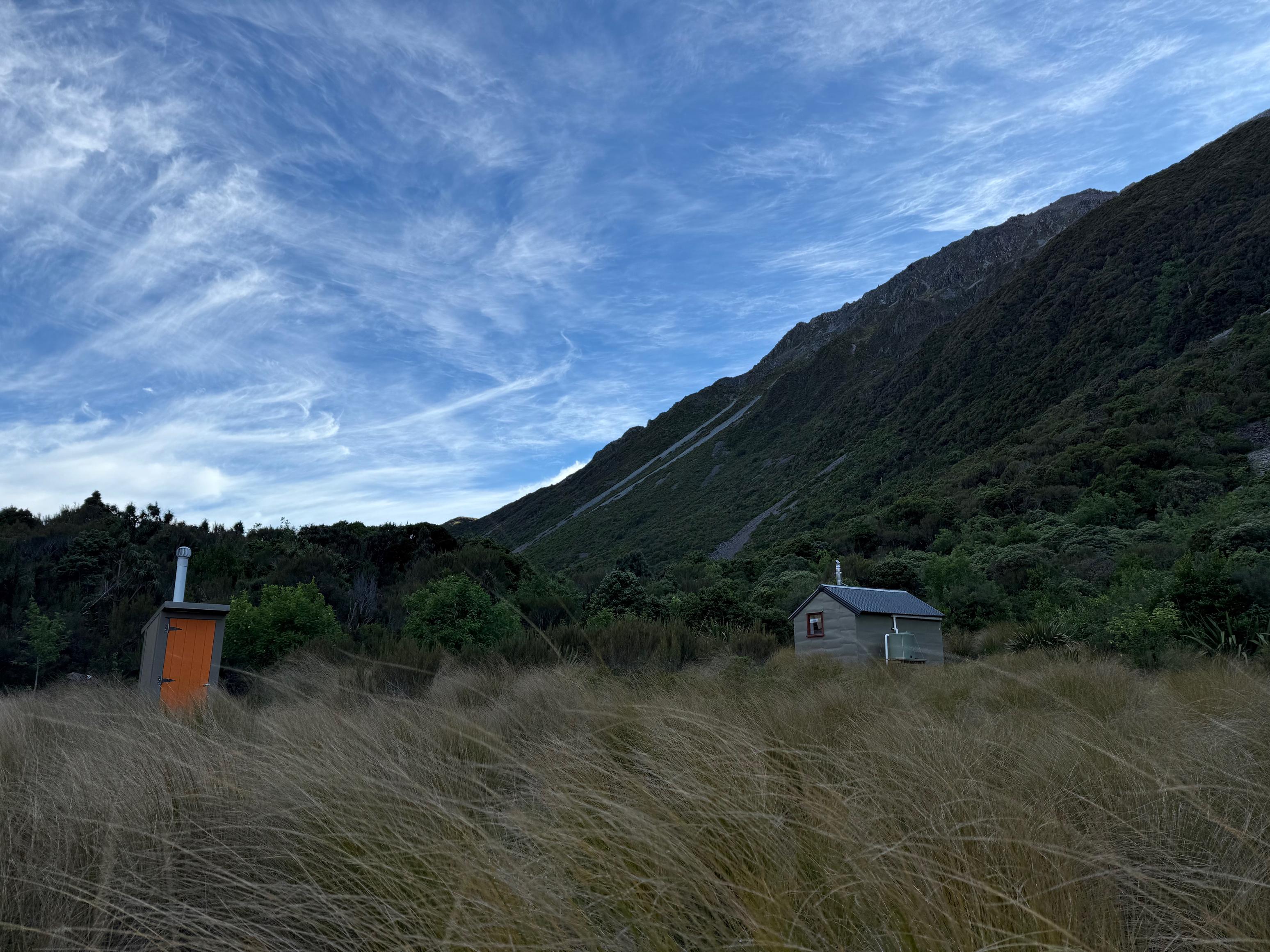
We, again, had the hut to ourselves! What a delight. We had a wash in the freezing cold Taipo before cooking ourselves alive in the very toasty sun-warmed hut and reading our books.
☕️ Home made granola & instant coffee with dehy oat milk.
🥜 Nut bar x2, miscellaneous lollies, nuts/M&M/pretzel mix.
🌮 Smoked cheese and hummus in a wrap.
🍴 Dehydrated baked beans and instant mash potato.
🍫 A hot chocolate and some actual chocolate.
📷: Finn Le Sueur
📷: Finn Le Sueur
📷: Finn Le Sueur
📷: Finn Le Sueur
📷: Finn Le Sueur
📷: Finn Le Sueur
📷: Finn Le Sueur
📷: Finn Le Sueur
📷: Finn Le Sueur
📷: Finn Le Sueur
📷: Finn Le Sueur
📷: Finn Le Sueur
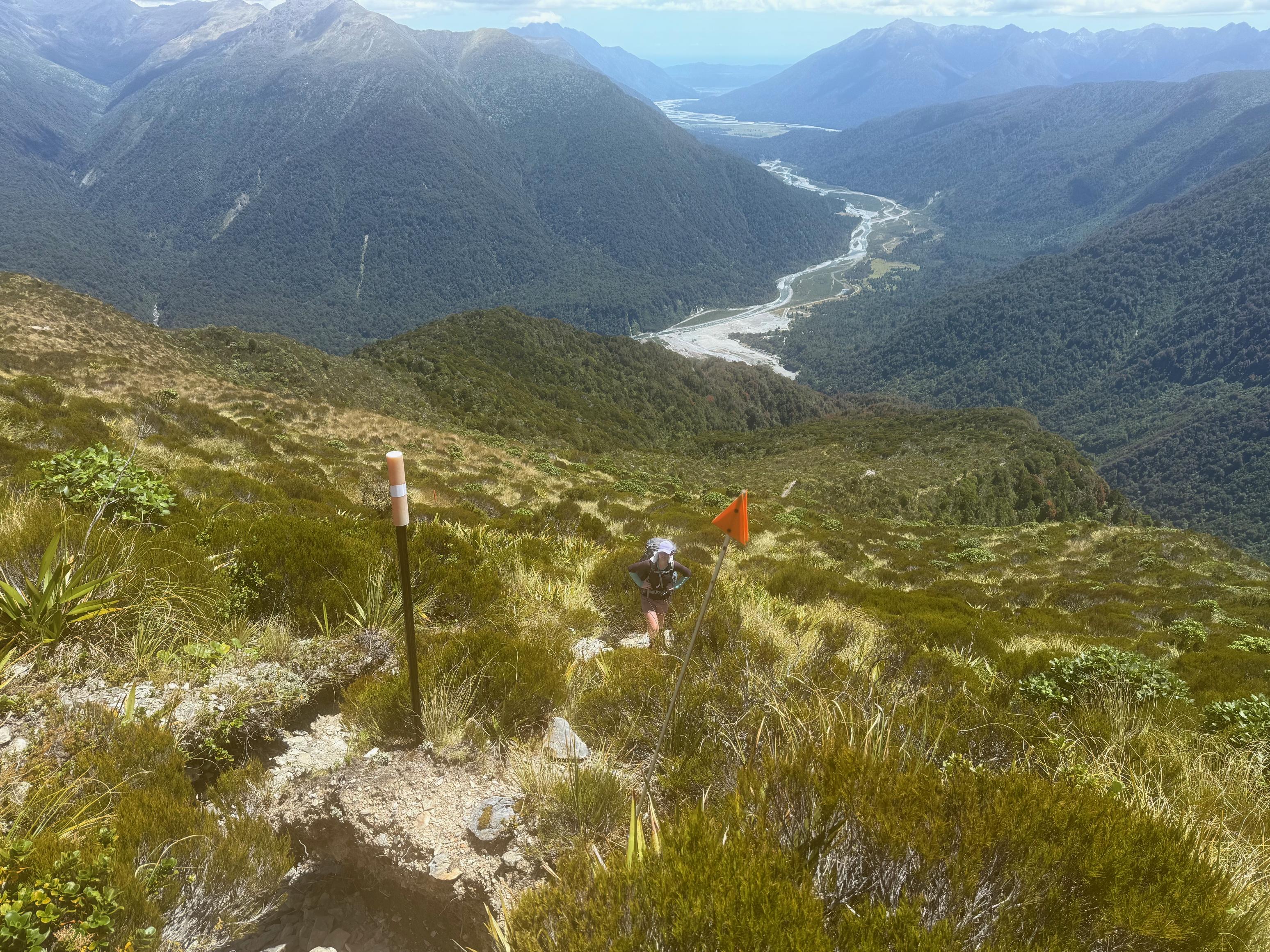
Day 4: Out via Carroll Hut
We had a big day—both in terms of kilometers and vertical, lined up, so we hit the track fairly promptly. It was warm already and we got off to a trucking start. Jen was on a mission and I was struggling to keep up (and I kept falling behind while taking photos).
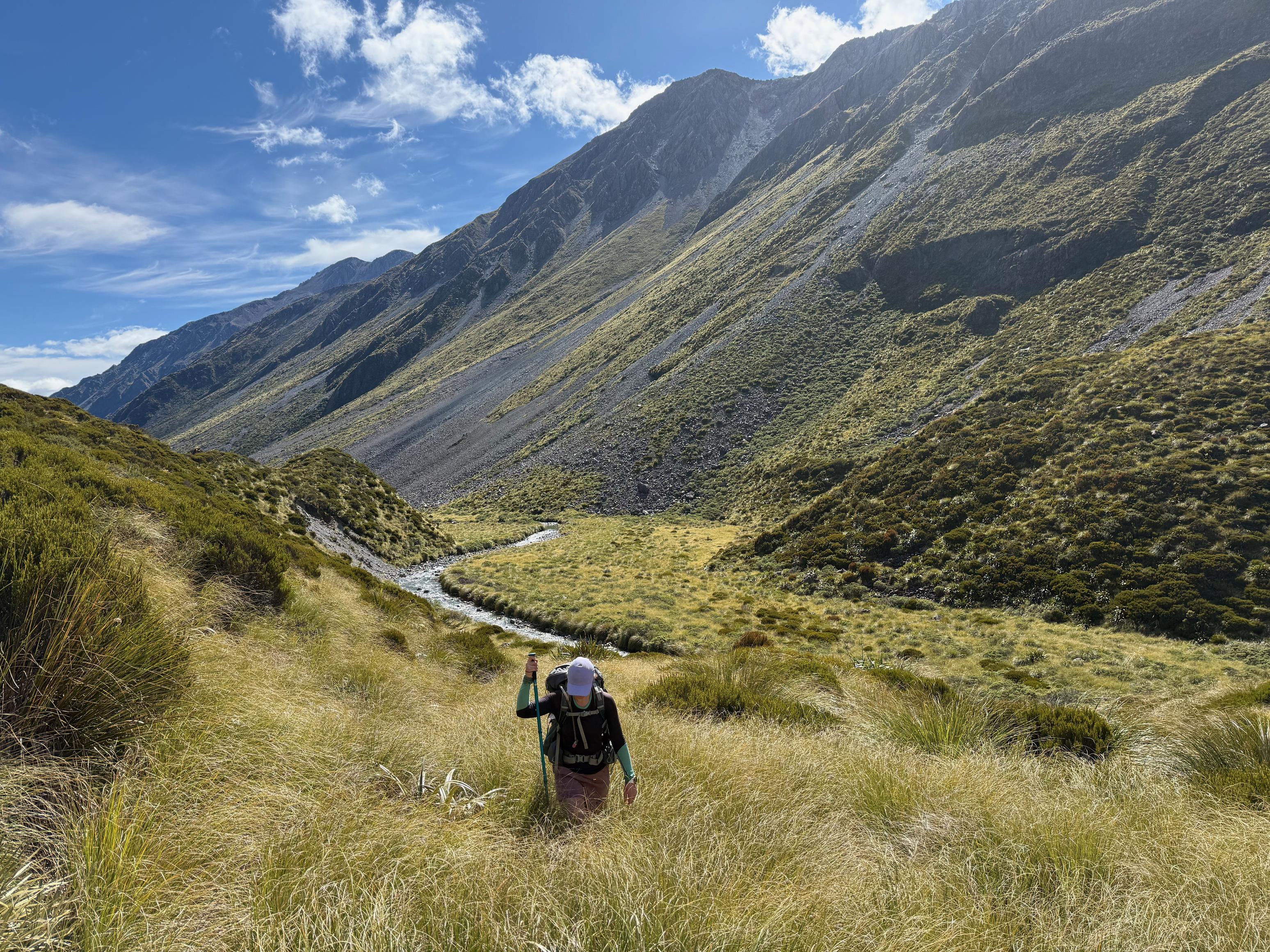
The valley is super beautiful and it was nice to enjoy some flatter walking before turning off to the Kelly Range. We stopped at Dillon Hut and found it very tidy and in good condition. This surprised me a little bit because it is quite accessible from the road end which came sometimes lead to huts being disrespected. I was glad to see this wasn’t the case here!
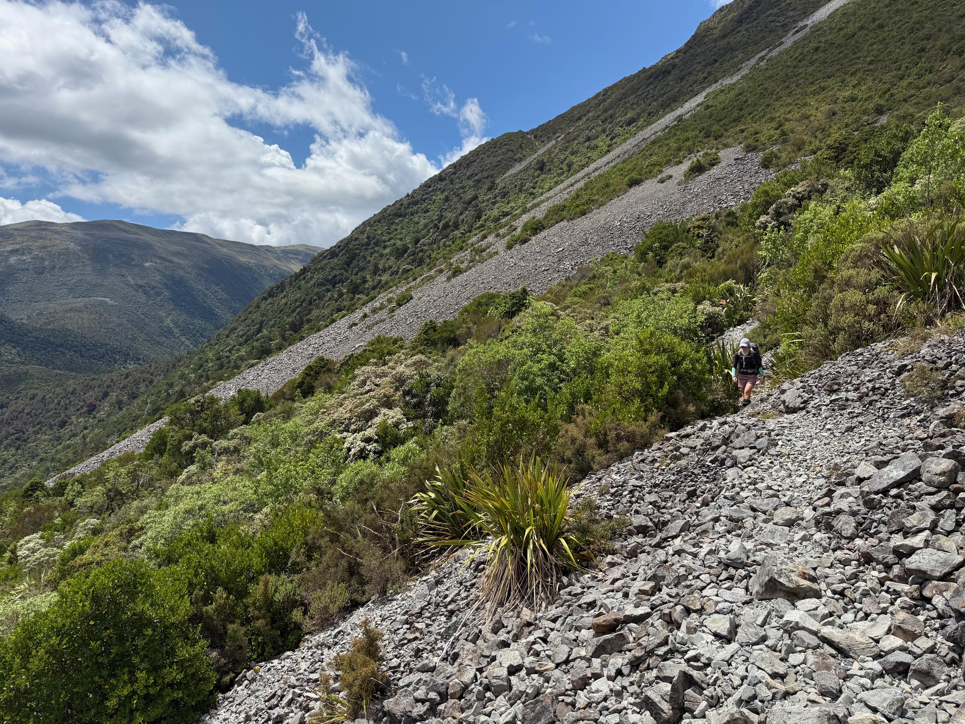
We also popped into Dillons Homestead for a quick look (smells like open fireplace!) before heading up Seven Mile Creek and onto the obvious spur. The track climbs steeply and unrelentingly toward the Kelly Range with only the shortest of breathers along the way. There is a great view over a slip out to Seven Mile Creek about halfway up. Don’t fall!
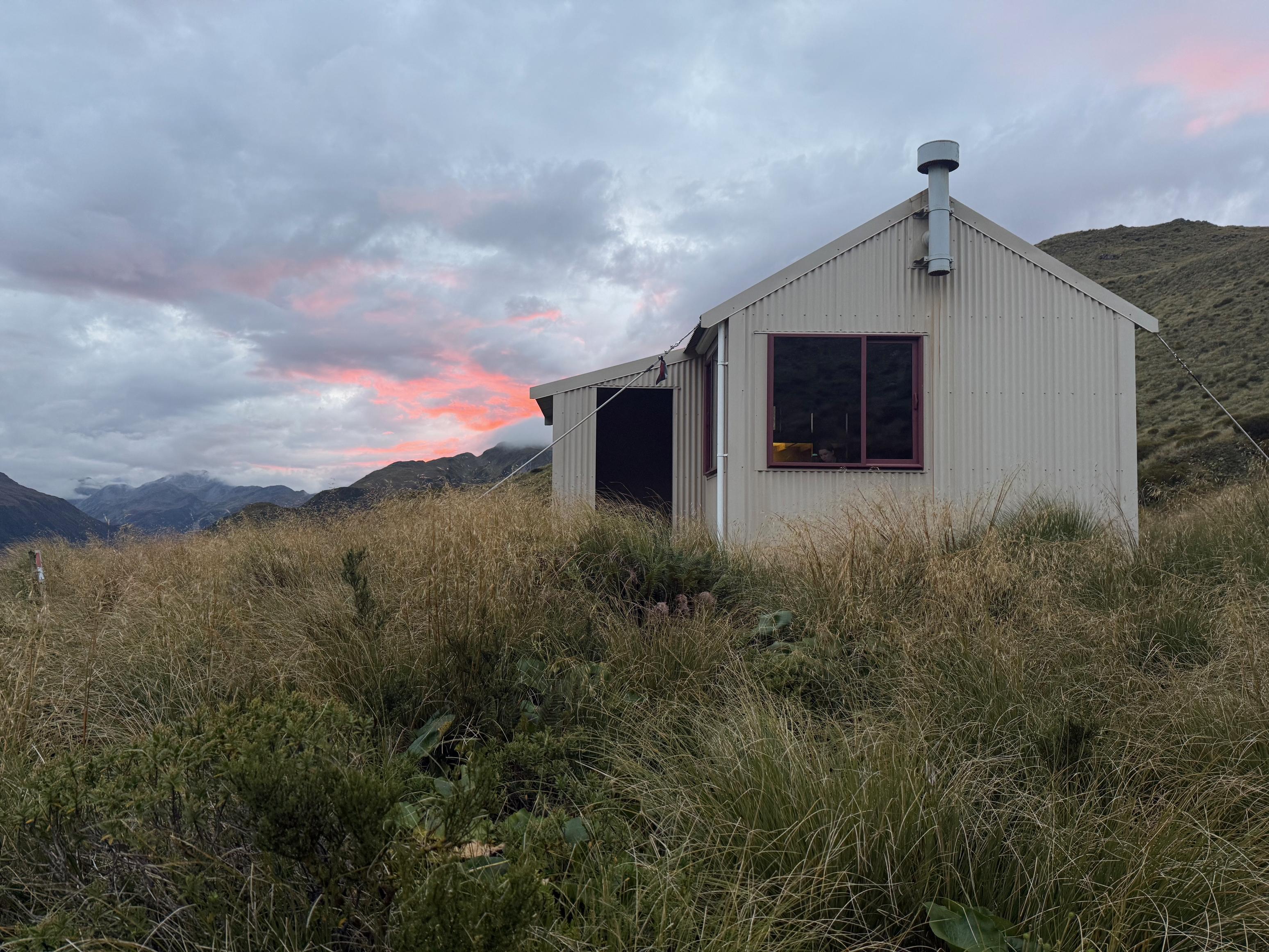
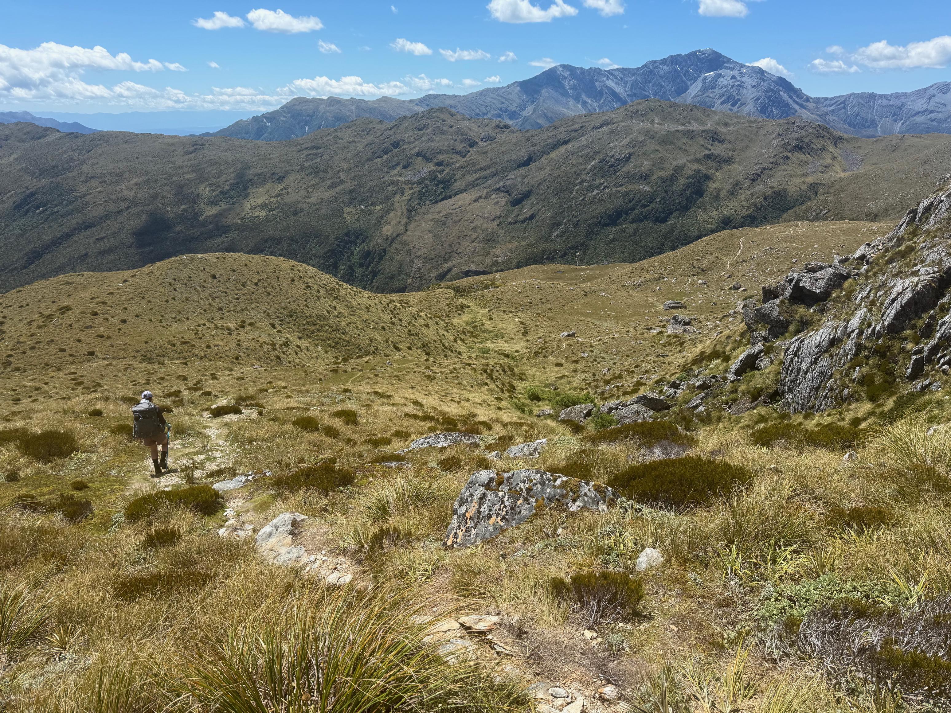
Once we reached the tarns we were pleased to get some respite from the uphill. The sun was still blazing and I for one was dripping with sweat. We cruised along to Carroll Hut where we had some food, replenished our water from the creek and headed down to the car. The descent was steep but quick – I think we were looking forward to having a dip in Kellys Creek before driving home.
☕️ Home made granola & instant coffee with dehy oat milk.
🥜 Nut bar x2, miscellaneous lollies, nuts/M&M/pretzel mix.
🌮 Smoked cheese and hummus in a wrap.
📷: Finn Le Sueur
📷: Finn Le Sueur
📷: Finn Le Sueur
📷: Finn Le Sueur
📷: Finn Le Sueur
📷: Finn Le Sueur
📷: Finn Le Sueur
📷: Finn Le Sueur
📷: Finn Le Sueur