Jam Hut & The Clarence Packraft
Activity Date:
Updated:
People:
Finn,
Jen
| Sat Apr 23, 2022 Download GPX Jam & Clarence D1: To Jam Hut | 16.38km 8:52:32 | 1.85km/hr 1238m ⬆️, 876m ⬇️ |
| Sun Apr 24, 2022 Download GPX Jam & Clarence D2: To The Clarence | 4.61km 1:22:02 | 3.37km/hr 22m ⬆️, 164m ⬇️ |
| Sun Apr 24, 2022 Download GPX Jam & Clarence D2: The Clarence | 14.37km 2:26:11 | 5.90km/hr 284m ⬆️, 344m ⬇️ |
| Mon Apr 25, 2022 Download GPX Jam & Clarence D3: Clarence Out | 39.61km 5:38:51 | 7.01km/hr 462m ⬆️, 619m ⬇️ |
| Total | 74.97km 18:19:36 | 4.09km/hr 2006m ⬆️, 2003m ⬇️ |
Comments Section
The night before the trip we stayed in Kāikoura at Alpine Pacific Holiday Park. There are some very cheap and totally acceptable rooms available, and as a bonus, there is very good coffee down the road at The Beach House Cafe. Unfortunately, we are still slack with mornings and didn’t get hiking until 10:10 am.
Day 1: To Jam Hut
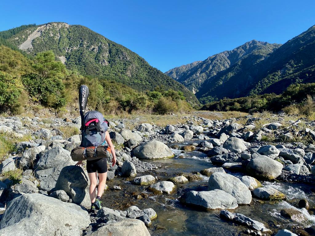
The gravel road to the start is in pretty good condition - there’s only one ford of note. The rest is all very reasonable and our Outback had no trouble traversing it. There are a couple of gates to leave as you found them. There is a little carpark on the south side of George Stream under a tree. There is a small DOC sign but it was hidden by overgrown weeds when we got there. With the sun out - bluebird day - and very heavy packs we were good to go!
Access
The 4WD road crosses private property. We didn’t know beforehand because it wasn’t mentioned on the DOC page, so, here you go:
Road crosses private property. 4WD access only. Narrow winding road. Slippery gravel surface. Steep drop-offs. No safety barriers. Rockfall risk. Stock. Sudden flooding after rain. Not suitable for large trucks or towing vehicles.
For access phone Warwick Brown (027 222 0322) or Steve Millard (319 3183 OR 0274 421 042).
You can start on the true right on what appears to be a bad 4WD track. It follows true right for 1.8km (35 min) to where a foresty road fords the river. From here you merge onto the riverbed where you will be for the remainder of the hike. The travel is quite good, but there are no cairns or markers to speak of.
Ascending George Saddle
As the valley narrows it becomes a little more gorge-like and you will find yourself clambering over some rather large boulders. Near the top of the river, it becomes a maze of small tributaries. We turned right at a junction (8.9km, 3 hrs 40 min) as the suggestion from another blog and battled our way up to the saddle via scree and scrub. We suggest turning left at the junction marked on the map. Jen’s hands were pretty battered by eczema so we preferred to use scree over scrub. It took us 1hr 20min to gain the saddle from the junction on the map. Pretty slow going.
Descending George Saddle
I was not able to find much of anything about this trip on the internet, other than a couple of people saying it was a possible trip. We did read that some parties descend directly off the saddle into Doddemeade Stream. We didn’t like the look of the scree, but I imagine it would go.
We met a lone guy at the saddle who suggested crossing to the true left where you can descend the open scree face or through the vegetation on a small spur. This worked for us but wasn’t exactly pleasant.
Another option would be crossing to the scree on the true left and entering Doddemeade Stream via the tributary on the true left.
To The Hut
The rest of the trek to Jam Hut is pretty uneventful. There are more cairns on this side of the saddle to keep you on track - not that there’s anywhere to go wrong! A couple of gorge sections will keep you on your toes, but there are no huge boulders like the George Stream side.
We ran out of daylight about 2.8km from the hut, so trekked the rest of it in the darkness with our headlights. This turned out to be completely awesome as the stars came out and it wasn’t too cold. It is quite fun plodding around in the dark, even if we were quite tired.
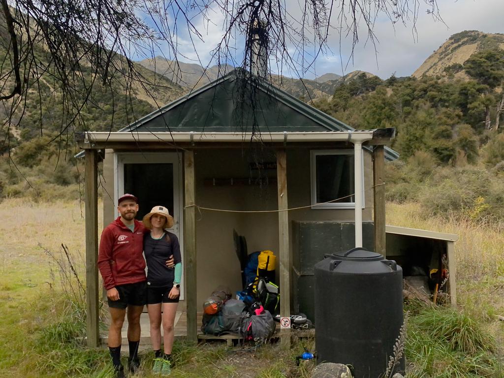
Jam Hut has four beds and appears to be quite well maintained. No one had been to the hut in a month, however, and we were only the second group to stay for the year. I’d totally believe that going by the number of cobwebs holding the door closed! The hut book goes back to 2003 and it looks like DOC comes in now and then to do a goat culling.
A hidden gem, I think. 💎
📷: Finn Le Sueur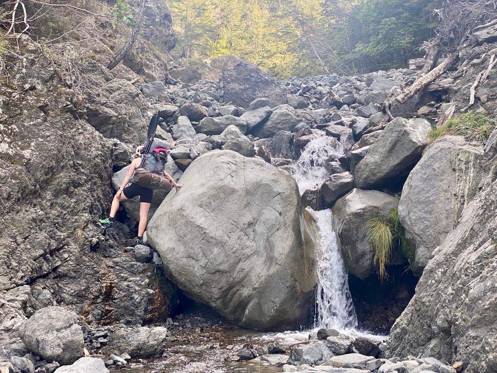
📷: Finn Le Sueur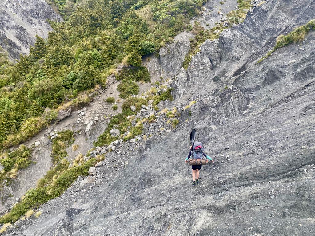
📷: Finn Le Sueur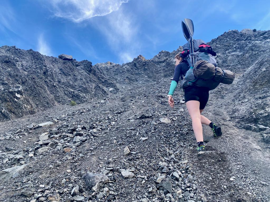
📷: Finn Le Sueur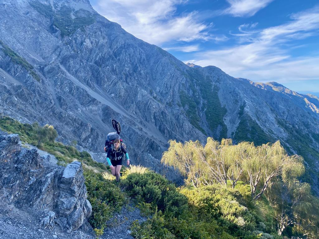
📷: Finn Le Sueur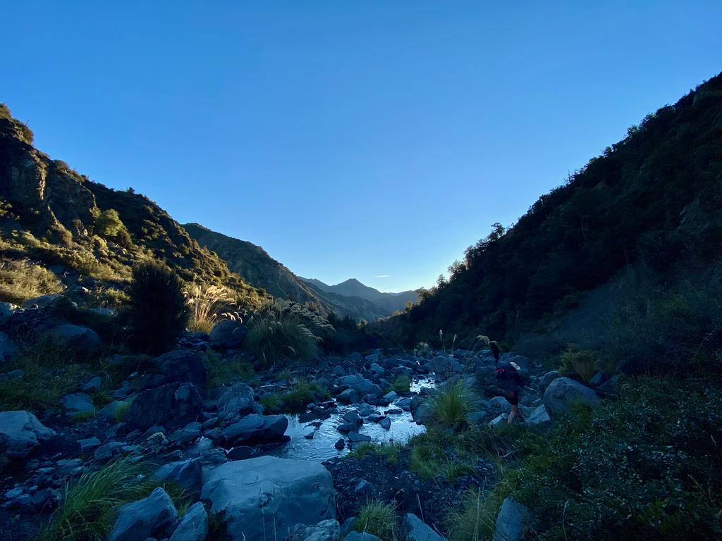
📷: Finn Le Sueur
Day 2: The Clarence
Hiking to the Clarence
This section is much like the previous day, except with wider valleys and smaller rocks. It was very easy walking and we made good progress after a night of rest. There are some very impressive cliffs and a lot of erosion going on up above the valley, so take the chance to observe the nature!
Before we left the hut we gave it a really good sweep and Jen foraged some kindling for the next group to use. There’s plenty around so do the right thing and leave the hut stocked for the next people!
Packrafting the Clarence
It took us over half an hour to transition onto the packraft, but we weren’t in any hurry. Just worth noting that it can be a slow process. It was overcast and there were some dark looking clouds above the Inland Kāikoura Range. Pretty menacing-looking mountains, those. It had rained previously but the river was down to about 30m^3/s which seems to be a pretty good level.
Our raft (Kokopelli Twain) has a T-Zip, which is an airtight zip into the inflatable stern of the raft. This allows you to open up the raft and store your gear inside it! An airtight zip doesn’t seem like a thing that should be possible, but it works an absolute charm. We stored all our gear inside the raft, placing only the lunch stuff in a waterproof bag between our legs. To the front of the boat, we strapped our empty backpacks which were in a dry bag. Big success! Plenty of room.
I’ll leave a description of the river to Packrafting Trips NZ - Waiau Toa – Clarence River II/II+ (III), but just below the confluence of Jam Stream is a II+/III rapid, and there are a few more after that. Pretty fun times – we weren’t too worried about the rapids.
Unfortunately, the Twain isn’t the most appropriate boat for these rapids and it frequently fills up like a bathtub in the big wave trains. No worries though, just stop and tip it out (or have me in the back with a pot as a bailer!).
With the overcast cold day and the wetness of the river we got pretty chilly and had to stop to put on some more layers. In the end, we called it a day early, found a good looking beach and parked up for the night. Come tomorrow we would find out that if we had paddled around the corner we would have found a much better spot with some morning sun (marked on the map). The campsite was good though, it was sheltered from the breeze, and there was only a short period of drizzle in the evening.
📷: Finn Le Sueur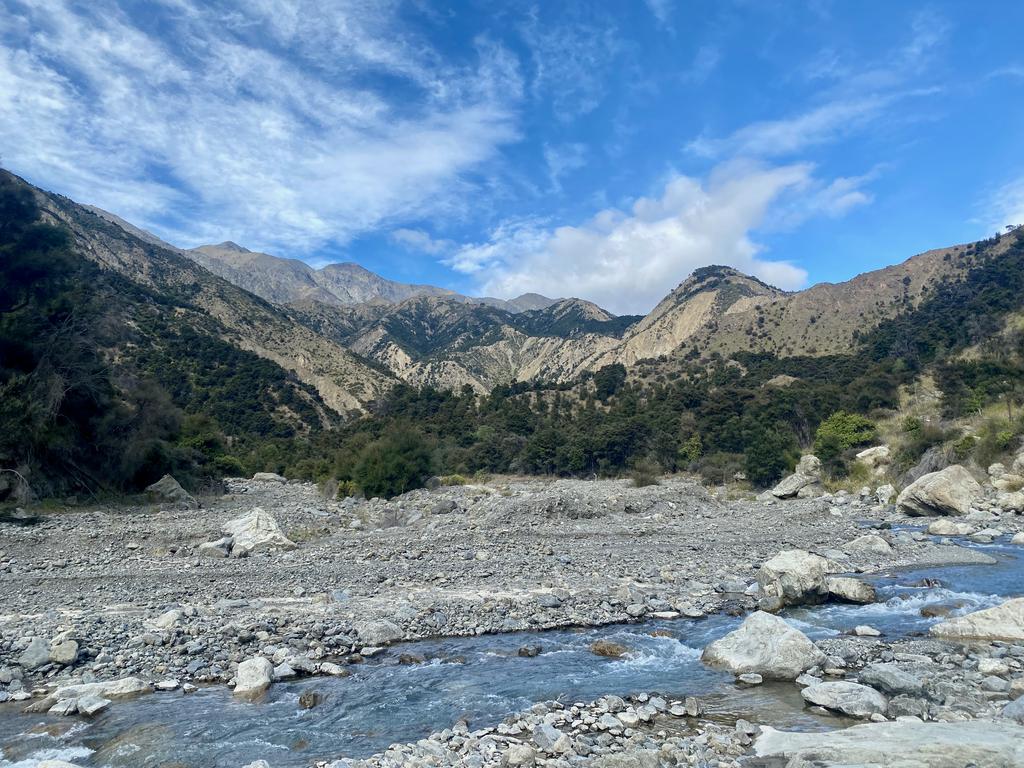
📷: Finn Le Sueur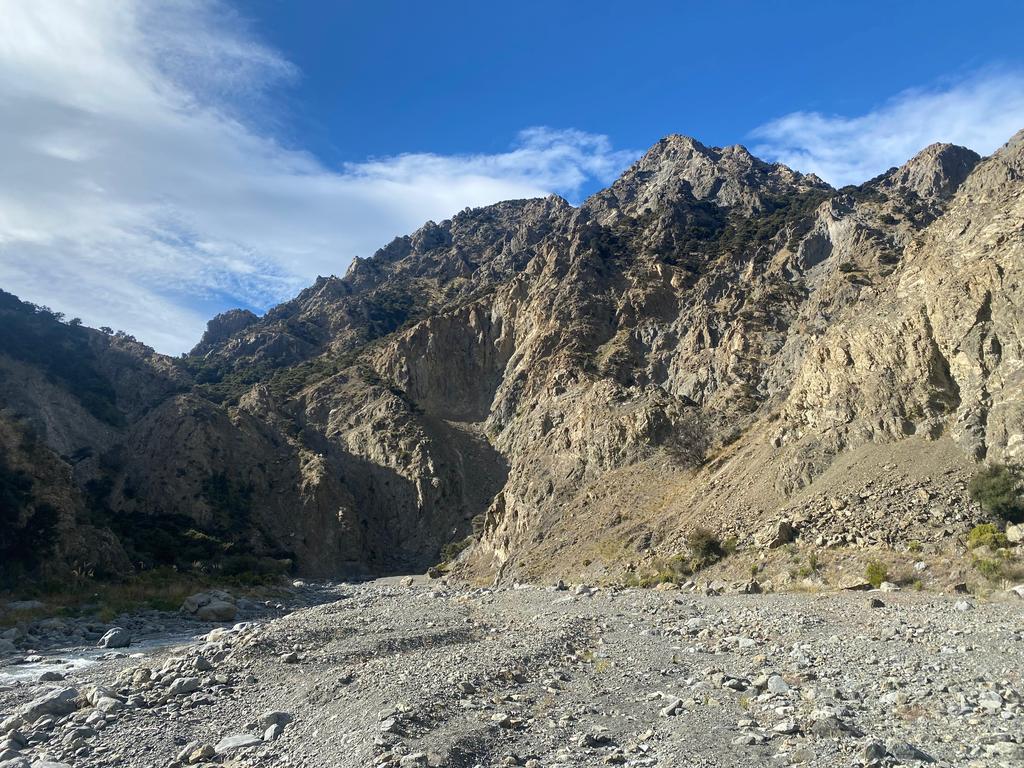
📷: Finn Le Sueur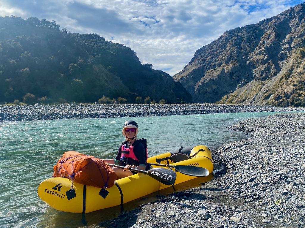
📷: Finn Le Sueur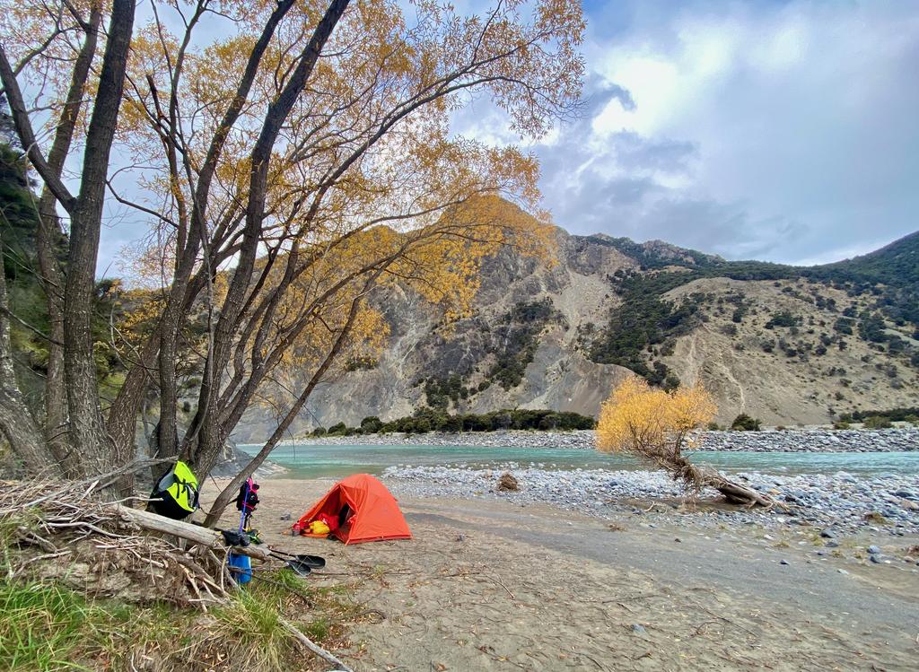
📷: Finn Le Sueur
Day 3: Out via The Clarence
We slept poorly again and therefore had a bit of a slow start, drinking coffee and packing up camp. We hadn’t decided what the day would look like. We were going to start paddling and see how we got on. If the going was a bit slow, we would happily camp another night, but if we made good progress we were happy to go all the way out to the car.
We swam about 3km downstream of the campsite which didn’t fill me with confidence for the rest of the day. I managed to drop my paddle – duh! Rule one is don’t drop your paddle! – but Jen rescued it while I was rescuing the boat. From there I took us down the chicken chutes more often than not and tried to skirt the inside of some nasty looking bluff turns. This ended up with us getting turned around in big boils, but at least we didn’t swim again.
The river on this day is beautiful and just gets more beautiful the further you go. It has a nice wide open section where, with some consistent paddling, you can cover a lot of ground at a much faster pace than when negotiating rapids. We stopped at Matai Flat for lunch and a coffee. Due to our much-increased pace compared to the previous day we decided to keep paddling and head out to the car.
Once the river opens out into a Canterbury-style braided river there are not any hard rapids left on the way to George Stream. I think there are a couple after that, but we didn’t have to contend with them. The paddling in this section is fast and it is a great opportunity to look at the countryside. Being a braided river you have to take care picking lines - usually, you should choose the lower braid as the rest of the river will join into that braid after a while. That way you don’t run out of deep water!
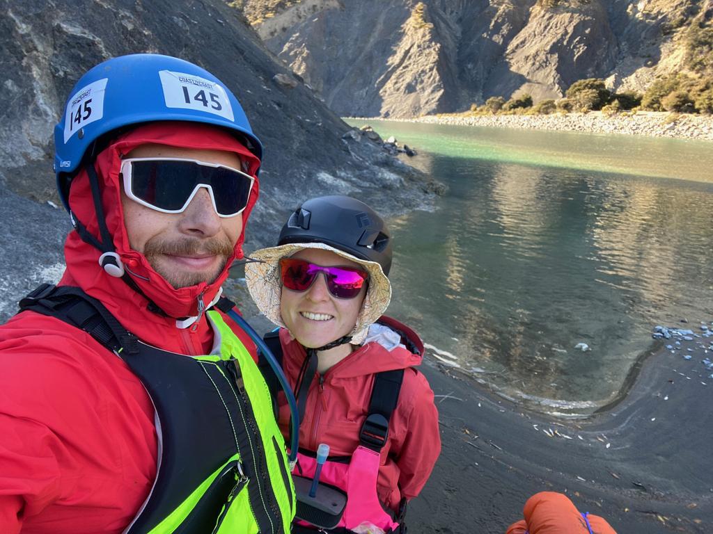
The George Stream confluence doesn’t look so much like a stream confluence as it looks like a debris fan. I managed to lug the raft (with gear inside) on my shoulder up to the car while Jen took the backpacks in the drybag, plus the two small lunch drybags. Bit of an effort but only about 400m back to the car. We were very glad for some sun on this day as it helped keep us warm and dry off at the end!
📷: Finn Le Sueur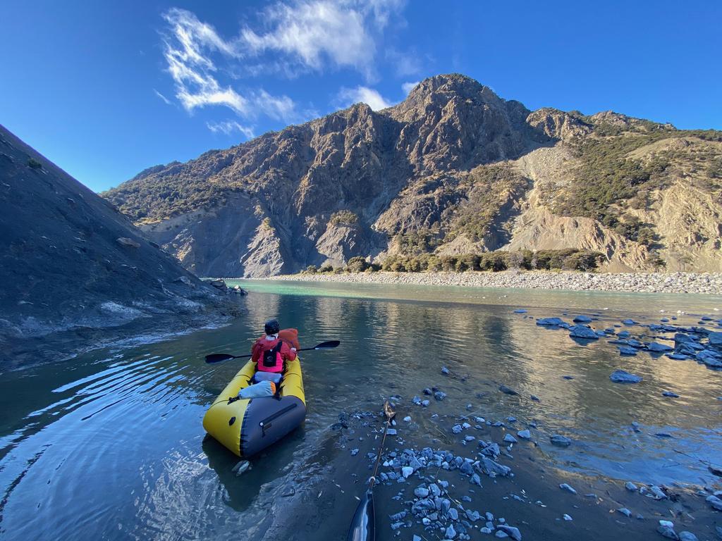
📷: Finn Le Sueur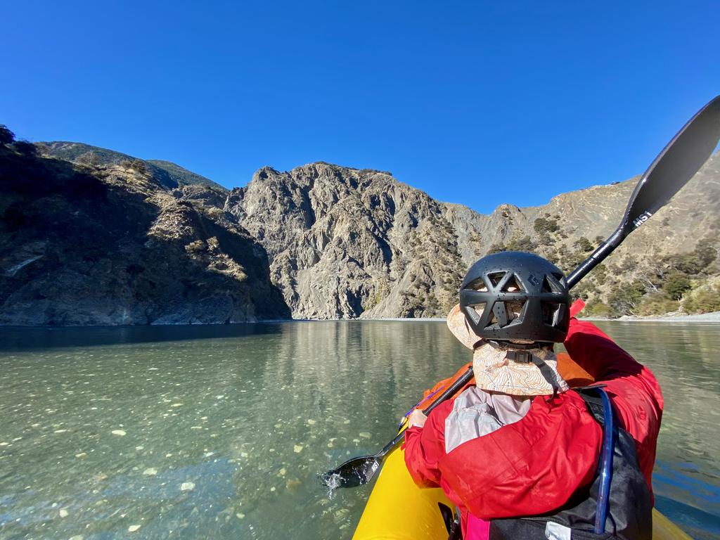
📷: Finn Le Sueur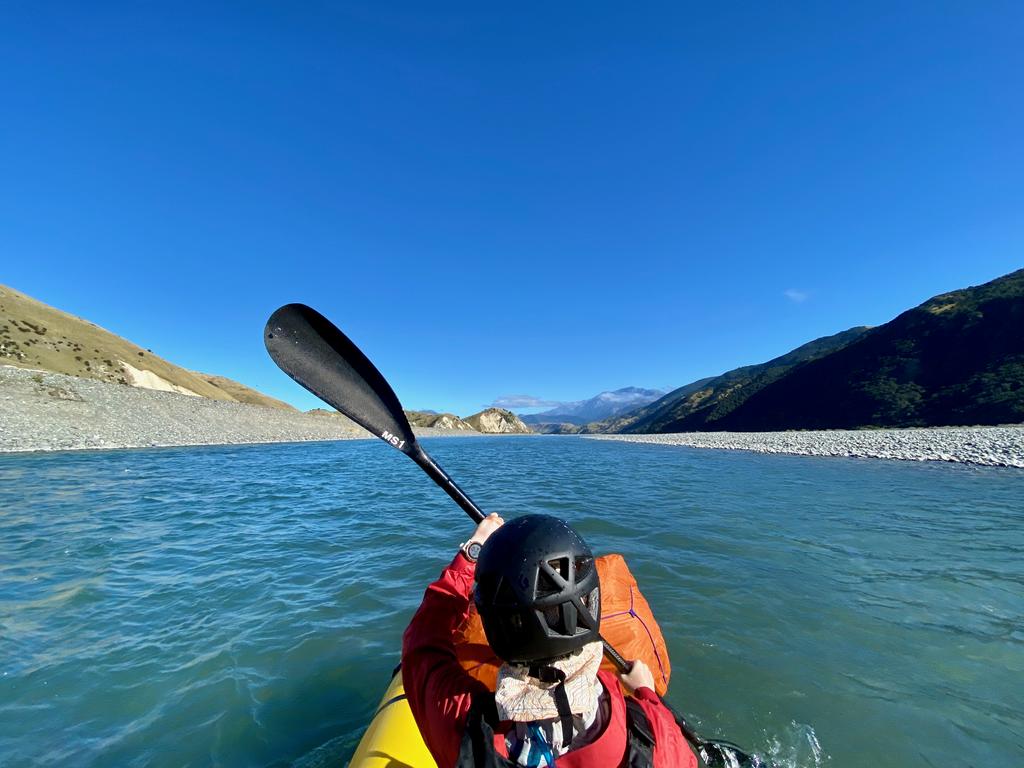
📷: Finn Le Sueur