Hollyford-Pyke Packraft
Activity Date:
Updated:
People:
Finn,
Jen
| Mon Dec 26, 2022 Download GPX HP D0: Humboldt Falls | 1.84km 0:29:24 | 3.76km/hr 80m ⬆️, 95m ⬇️ |
| Tue Dec 27, 2022 Download GPX HP D1: McKerrow Island Hut 🛶 | 30.55km 4:54:50 | 6.22km/hr 189m ⬆️, 248m ⬇️ |
| Wed Dec 28, 2022 Download GPX HP D2.1: Afternoon Walk | 5.61km 1:27:32 | 3.84km/hr 110m ⬆️, 114m ⬇️ |
| Wed Dec 28, 2022 Download GPX HP D2: Martin’s Bay Hut 🛶 | 21.90km 4:23:05 | 4.99km/hr 115m ⬆️, 128m ⬇️ |
| Thu Dec 29, 2022 Download GPX HP D3: Big Bay Hut | 14.11km 4:05:57 | 3.44km/hr 296m ⬆️, 300m ⬇️ |
| Fri Dec 30, 2022 Download GPX HP D4.1: Hike to the Pike | 12.41km 2:55:03 | 4.26km/hr 263m ⬆️, 214m ⬇️ |
| Fri Dec 30, 2022 Download GPX HP D4.2: Olivine Hut 🛶 | 18.52km 2:42:28 | 6.84km/hr 293m ⬆️, 315m ⬇️ |
| Sat Dec 31, 2022 Download GPX HP D5: Alabaster Hut 🛶 | 15.00km 2:32:34 | 5.90km/hr 74m ⬆️, 90m ⬇️ |
| Sun Jan 1, 2023 Download GPX HP D6: Hike Out | 22.55km 5:11:10 | 4.35km/hr 440m ⬆️, 387m ⬇️ |
| Total | 142.50km 28:42:03 | 4.96km/hr 1860m ⬆️, 1891m ⬇️ |
Comments Section
Jen and I had been looking at this circuit on Packrafting Trips NZ for almost a year. We had originally planned to do it earlier in 2022 but the weather told us no. Thankfully, an excellent weather window popped up and we jumped at the chance to do it.
Day 1: Lake McKerrow Hut
30.55km (189m 🆙, 248m🔻) in 4hr 54min @ 6.22km/hr.
On Dec 26th we drove down from Christchurch and camped for the night. There are many places to camp along Milford Rd – take your pick! We were up and ready to go quite early. We had read that the river is filled with trees, many left over from the storm of 2020. This is certainly true; but with care and understanding of the manoeuvrability of your boat, you won’t have any issues with them. Scout any corners that are unclear.
Whakatipu Kā Tuka (Hollyford River) starts with a couple of rapids to warm you up. One of them has trees across essentially the whole river, however, we found a little channel on the true right which saw us safely through. There is lots of flat river paddling in between the rapids, which is lovely as it allows you to gaze in awe at the mountains around you.
The main rapid to be aware of on this day is Little Homer Rapid. It is Class 3+ and not something to go blundering into. Thankfully, it is very obvious. You can hear it coming up and will see the boulder field which marks its start. Move to the true right and exit the river next to the truly humungous boulder. This is where the portage track starts and it is very obvious. We originally stopped at a little beach before that and found a trapline, but no track.
We found the portage track quite a grovel. We have a double raft which is quite heavy when loaded with gear. Jen was in charge of our backpacks and the paddles but wasn’t faring much better in the mud. Still, better than trying to send the Little Homer Rapid!
From the portage, it is pretty easy sailing down to Lake McKerrow Hut. The rapid just above the hut was charging when we went through - the wave train was pretty huge. We skirted to the true right and go through unscathed. One last hike-a-boat through the bush sees you at the hut.
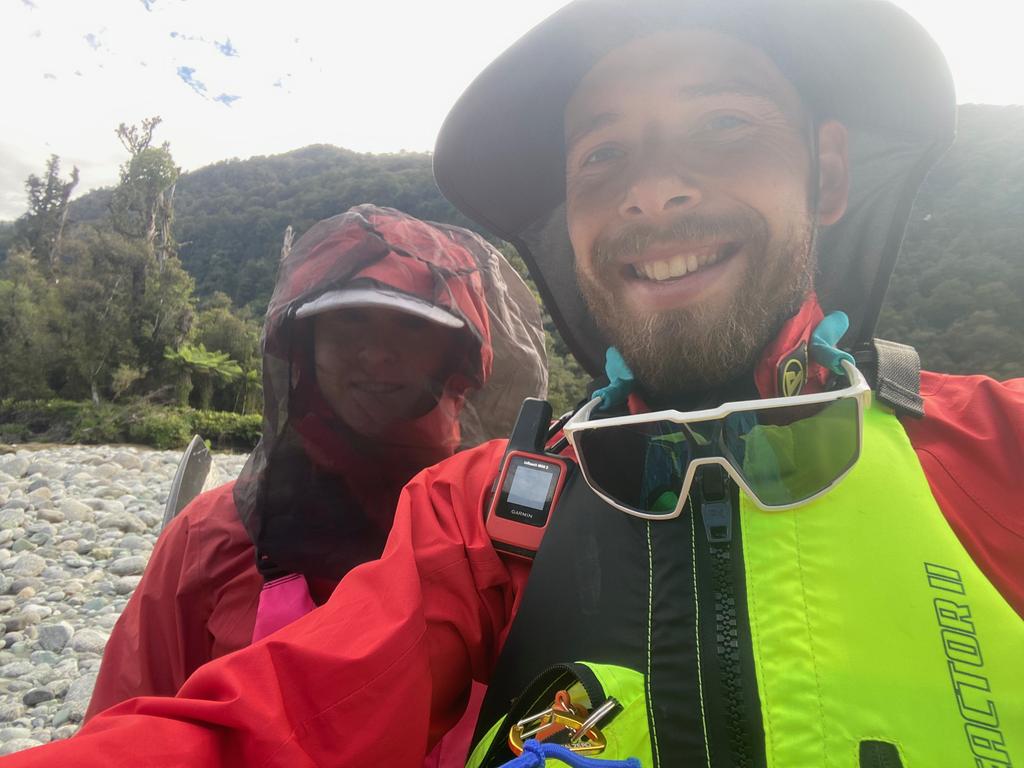
📷: Finn Le Sueur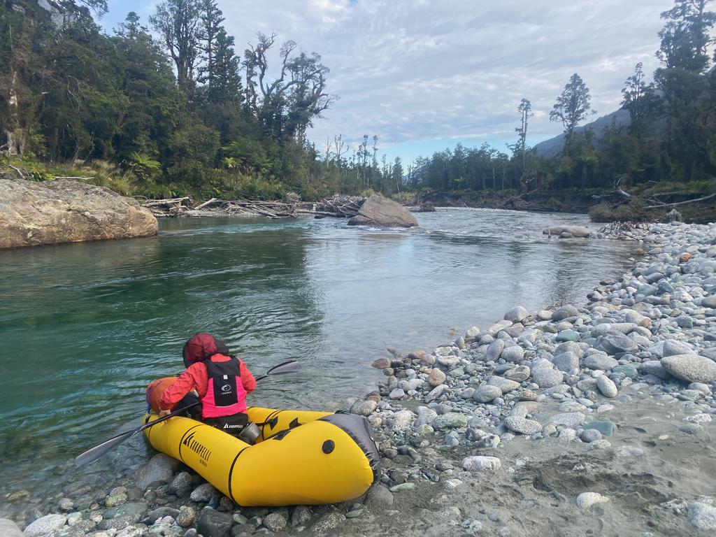
📷: Finn Le Sueur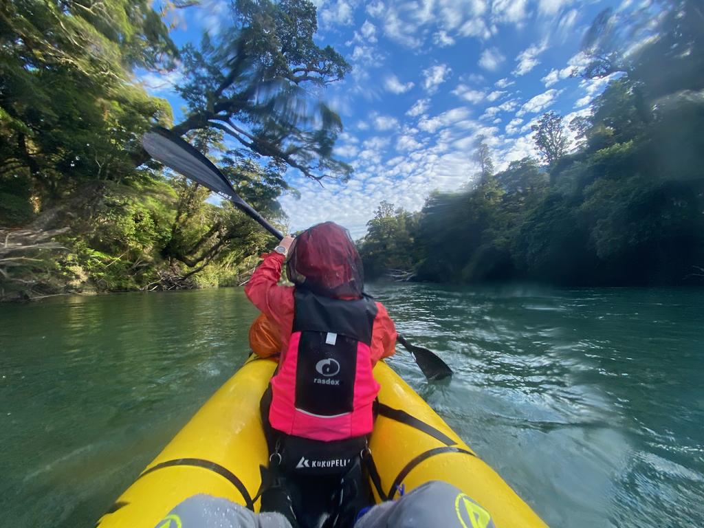
📷: Finn Le Sueur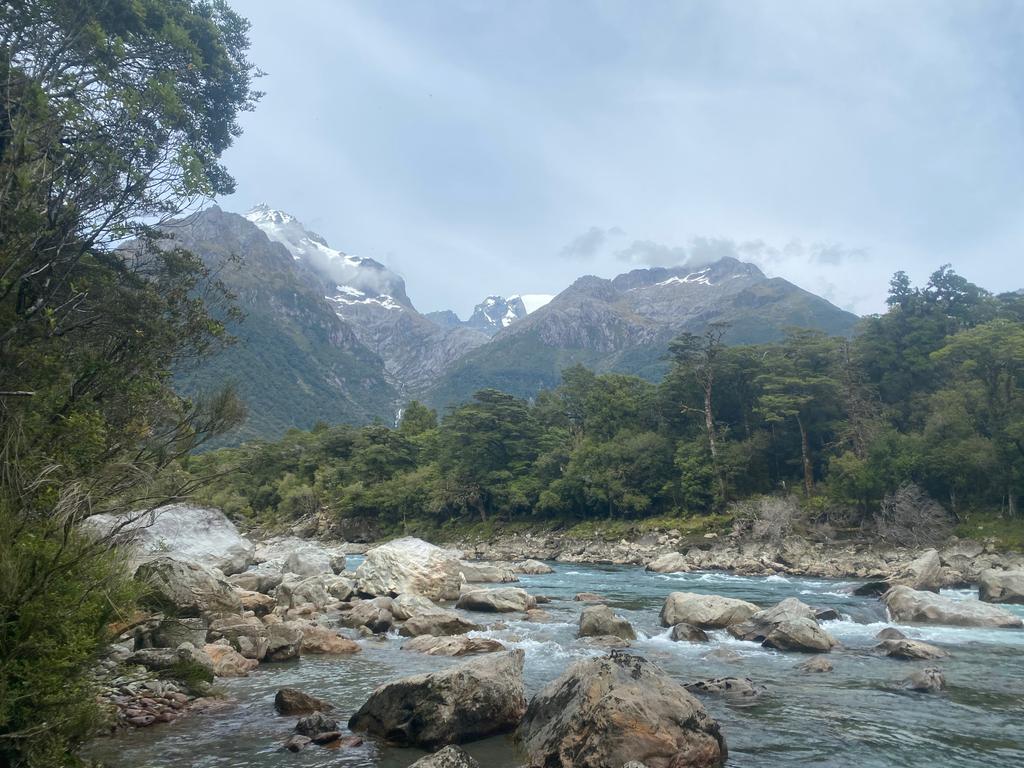
📷: Finn Le Sueur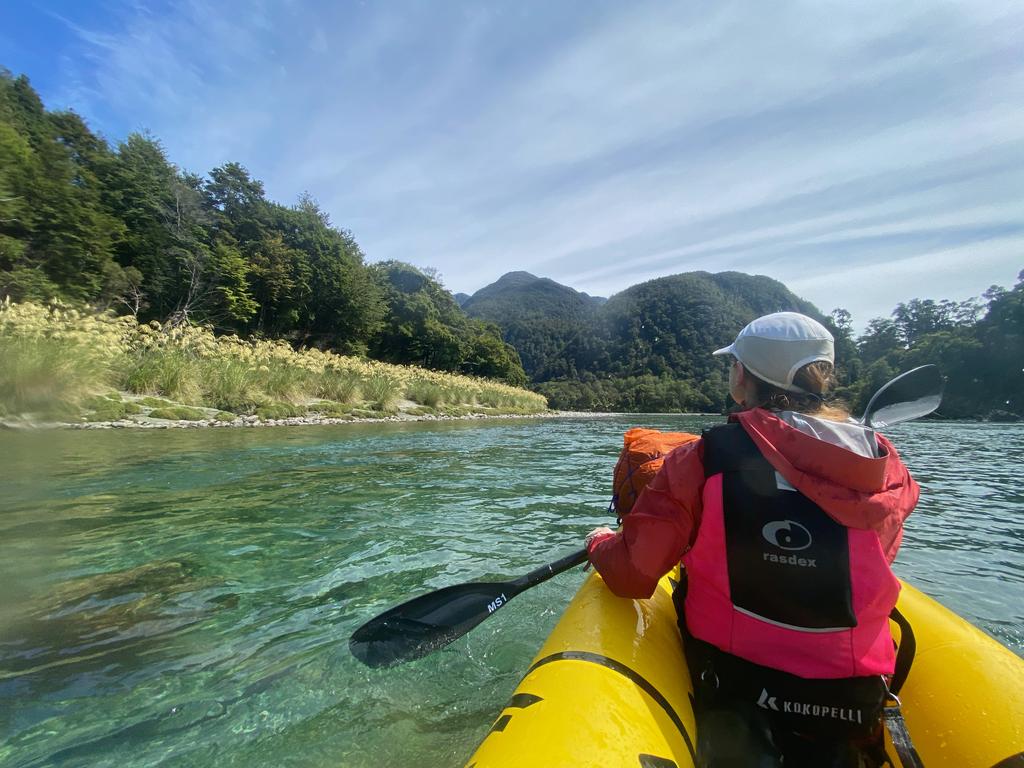
📷: Finn Le Sueur
Day 2: Martin’s Bay Hut
21.90km (115m 🆙, 128m🔻) in 4hr 23min @ 4.99km/hr.
This day takes some thinking. Lake McKerrow is ~15km long and if a headwind comes up, you need to walk. You will make very little/no progress in the wind. The tricky part is that an onshore breeze (headwind) comes up around 9:30/10am pretty much every day, so you want to be reaching Martin’s Bay Hut at around that time. The second tricky thing is that ideally, you want to catch the outgoing/slack tide so that the last section of paddling to the river mouth is not going against the incoming tide. We were very lucky that a 5/5:30am start would both see us at Martin’s Bay Hut by 10am and that it would catch the most ideal tide. Make sure you check!
Jackson Bay Tides Timetable (Metservice)
| DATE | HIGH | LOW | HIGH | LOW |
|---|---|---|---|---|
| TUE 27 DEC | 02:50 2.3m | 08:56 0.2m | 15:07 2.3m | 21:30 0.1m |
| WED 28 DEC | 03:45 2.2m | 09:51 0.3m | 16:04 2.2m | 22:28 0.2m |
| THU 29 DEC | 04:42 2.1m | 10:50 0.4m | 17:04 2.1m | 23:27 0.3m |
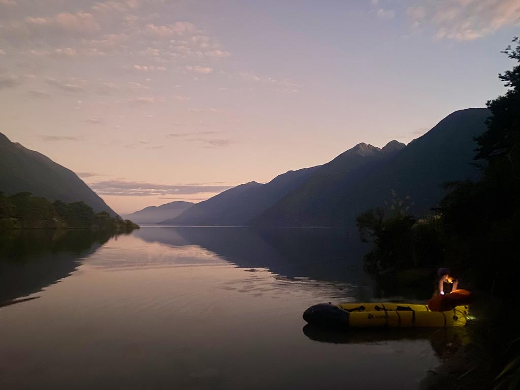
We started the day with a 4:10am wake-up call, followed by coffee and avo on bread (you can pack nice food when you don’t have to carry it!). We worked around a guided party of eight who were doing the same loop and were on the water at 5:30am. The weather was perfect, with even a slight tailwind helping us across Whakatipu Waitai (Lake McKerrow). We originally planned to paddle near the side of the lake for safety, but the conditions were so nice we just headed straight up the middle.
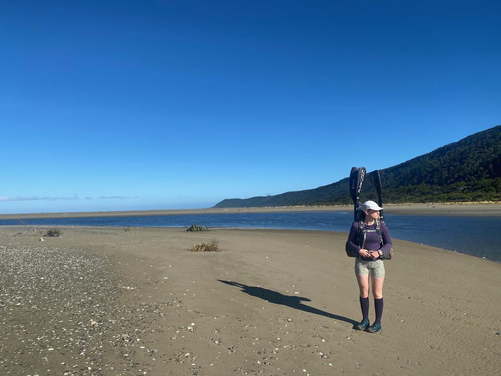
If you look carefully you can spot some private baches (cribs) hidden among the forest on the lakeside. Amazing. We kinda want one. There’s no road access; you have to get there by boat. We took it easy down the outlet (no rapids) past the fancy Martin’s Bay Lodge to the river mouth. The surf was pretty huge and the clouds ominous. In 2020 the storm carried so much water that the river blew through the dunes and moved the river mouth almost 3km south. This had the effect of leaving a lovely lagoon between the mouth and Martin’s Bay Hut, all you have to do is drag your boat across a short section of sand and then keep paddling! The wind had whipped up a bit by this point and we had a slow time paddling across the lagoon, but still, faster than carrying the boat!
Martin’s Bay Hut is lovely, but the sandflies are pretty vicious. We found the breeze keeps them off you on the beach, though, which is excellent! We walked down to the river mouth for a bit of a better look in the afternoon.
📷: Finn Le Sueur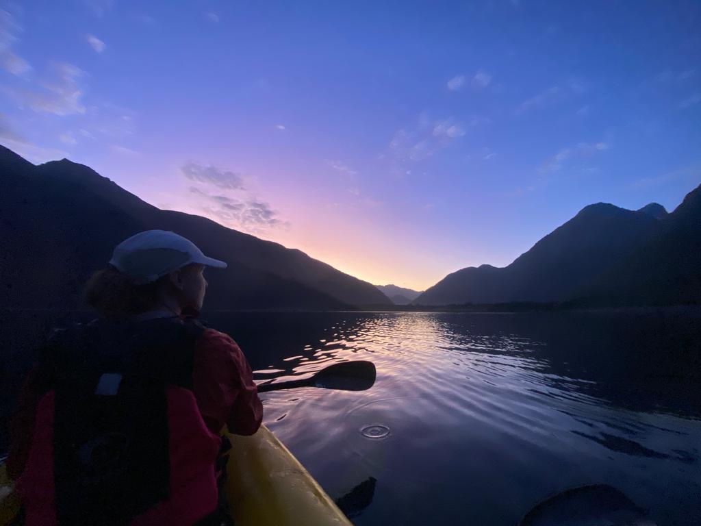
📷: Finn Le Sueur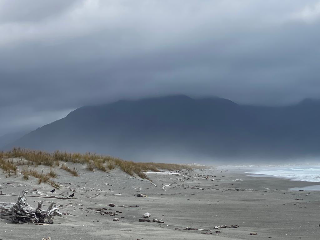
📷: Finn Le Sueur) at Martin's Bay lagoon.](https://imagor.lesueur.nz/z1xMX5XprWwOiINXdrdc3ywtAt0=/fit-in/1024x/blog/hollyford-pyke-packraft/IMG_4717.jpeg)
📷: Finn Le Sueur
Day 3: Big Bay Hut
14.11km (296m 🆙, 300m🔻) in 4hr 5min @ 3.44km/hr.
Despite our tired heads, we had another early start. Big Bay Hut only has 9 beds and the party of 8 was planning on stopping there, so we wanted to be first in so that we could get a couple of beds. We managed to set off about 15min before them but arrive over an hour before them. Success!
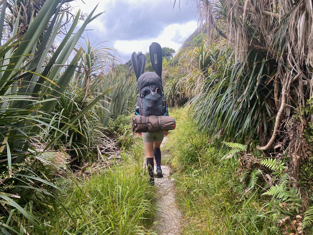
The track is a tad overgrown but better than it used to be according to the internet. The first part around to the beach before Smoky Rock was quite muddly and our long multisport paddles were quite a hindrance for Jen. We ended up carrying them by hand so that she could stop getting caught in trees! Turns out packrafting paddles a short for a good reason. Also, make sure you stop at the seal colony at Long Reef – they are so cute. Don’t bother them, though!
You soon get onto the coastline proper and can follow it for a long time. It is pretty rocky but you make good progress. I have marked two cribs on the map. Just after them, you can find a 4WD track in the bush a couple of meters off the rocks. It’s worth getting onto this track if your feet/ankles are sore from the rocks or you just want to move a little faster. We found this track goes up to McKenzie Creek (and possibly further?) but we opted to walk Three Mile Beach in the sand.
We found one tramper having a rest day at Big Bay Hut – he had walked for 14hrs to get there from Olivine Hut the previous day. Phew! We nabbed a couple of beds near the door and headed down to the Awarua River for a dip and a wash. Much refreshed we spent the afternoon reading, drinking coffee and eating snacks. Delightful.
📷: Finn Le Sueur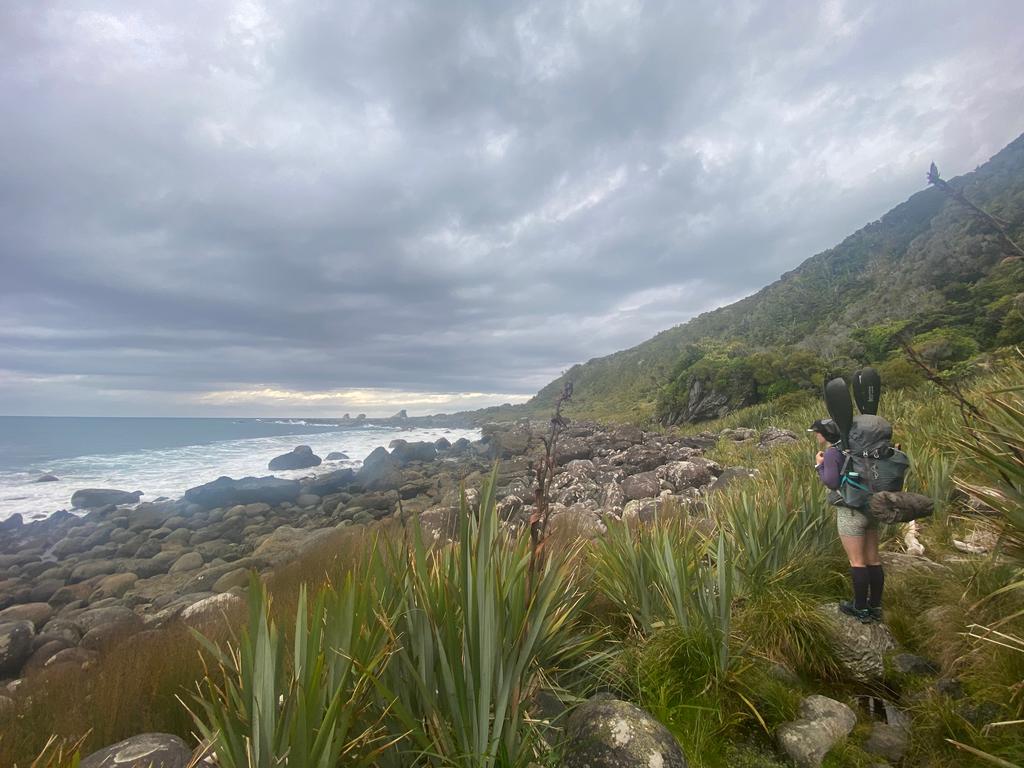
📷: Finn Le Sueur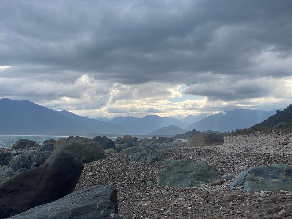
📷: Finn Le Sueur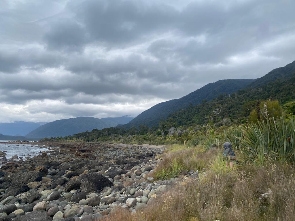
📷: Finn Le Sueur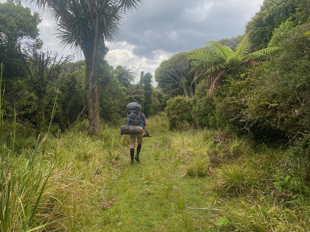
📷: Finn Le Sueur
Day 4: Olivine Hut
Hike to the Pyke
12.41km (263m 🆙, 214m🔻) in 2hr 55min @ 4.25km/hr.
The party of 8 was heading through to Lake Alabaster Hut, so we had a nice relaxed start to the morning. No need to race for beds! We had lovely weather again, thankfully. It had rained in the night but cleared for the morning. The track up to the Pyke River is of the 4WD variety and is very well formed. It is also very gentle and not at all hard work. We crossed the Awarua River at mid-tide and only just got wet butts. High tide might be another story!
The forest was looking particularly lush but we found the orange triangles get a little sparse near the top. Thankfully you just enter Paulin Creek and follow it down to the Pyke. We reached the Pyke in 3hrs and had a quick lunch before getting into the raft.
Raft the Pyke
18.52km (293m 🆙, 315m🔻) in 2hr 42min @ 6.84km/hr.
We found the flow good at the top thanks to the rain of the night before and made good time. We later heard that it can get a little bumpy in low flows. As we neared Lake Wilmot a southwest wind (headwind) started to whip up; little whitecaps were forming on the river. Not a good sign. Thankfully Lake Wilmot is short, and despite having our speed cut in half due to the wind, we made it across in around 35min.
The river flow is pretty slow in the outlet of Lake Wilmot, but it gains in speed with the confluences of Barrier and Diorite streams. Barrier is fed by Silver Glacier, the Barrier Ice Stream and other parts of the Olivine Ice Plateau which gives it a wonderful milky-white hue. This makes for a pretty amazing-looking interface where it meets with the clear waters of the Pyke. Also visible in this section are a few pretty epic waterfalls in the distance.
We reached Olivine Hut after 2:45hrs on the river where we found the big party. We had (somehow) gained 2hrs on them during the way, but they were going to head off again after a late lunch. All good. The sun was blisteringly hot, so we dried off and had some more food before heading down to the Pyke for a bit of a bath. Freezing.
Around 8:40pm two hikers turned up from Lake Alabaster Hut. It took them 12hrs! The Pyke sounds like damn hard work by foot. Just before their arrival Jen had read about a mouse in the hut book and it dared to show its face! She tried to block off some more holes in its living quarters, but it was probably in vain. Someone ‘ought to bring in a trap/bait.
📷: Finn Le Sueur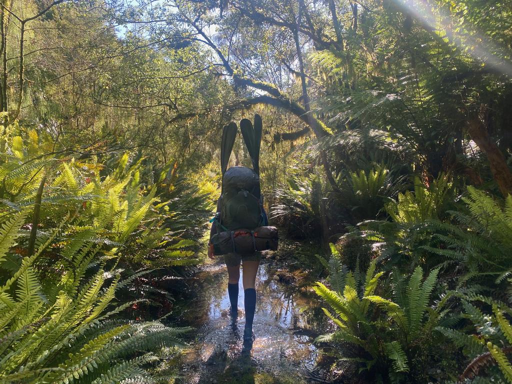
📷: Finn Le Sueur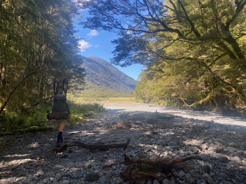
📷: Finn Le Sueur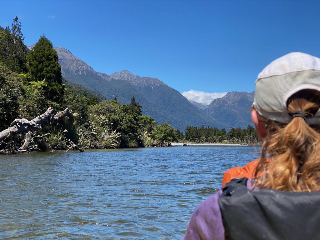
📷: Finn Le Sueur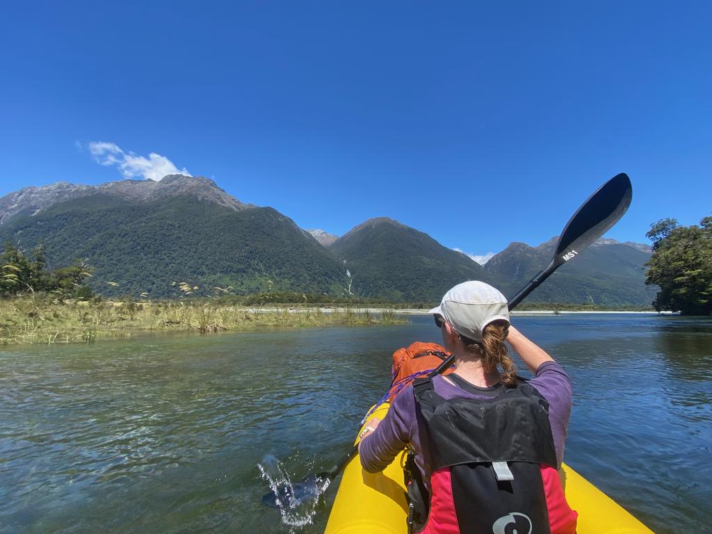
📷: Finn Le Sueur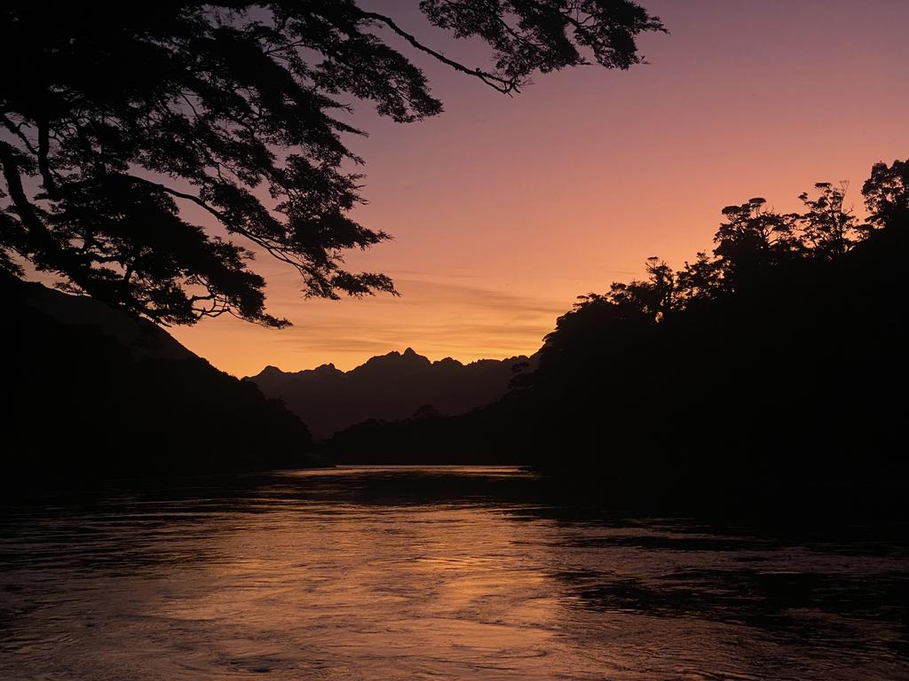
📷: Finn Le Sueur
Day 5: Lake Alabaster Hut
15.00km (74m 🆙, 90m🔻) in 2hr 32min @ 5.90km/hr.
We knew we had a short day today so we had a nice relaxed start again. I got on the cableway over Olivine River - amazing fun. So slow, though! The sun was out again and blazingly hot. I didn’t wear my paddle jacket it was so warm. We cruised down the Pyke with Mt Madeline and others in the distance providing a stunning view.
Around 10:30am a north-west tailwind popped up which helped us across Lake Alabaster somewhat. In the end, it took us 2.5hrs to reach Lake Alabaster Hut which was much shorter than expected. No bother: dry the gear, read a book, eat food and relax in the backcountry. What more could you want?
We met a lovely family and their two friends at the hut where we had a nice New Years’ Eve. They had caught a rather large fish in the Pyke River and shared it with us. Delicious.
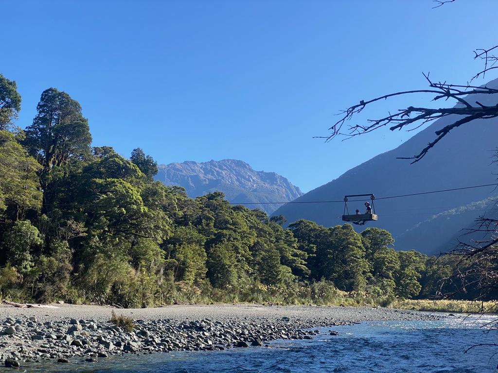
📷: Jen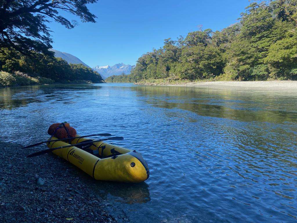
📷: Finn Le Sueur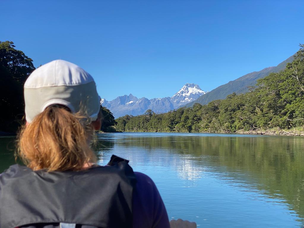
📷: Finn Le Sueur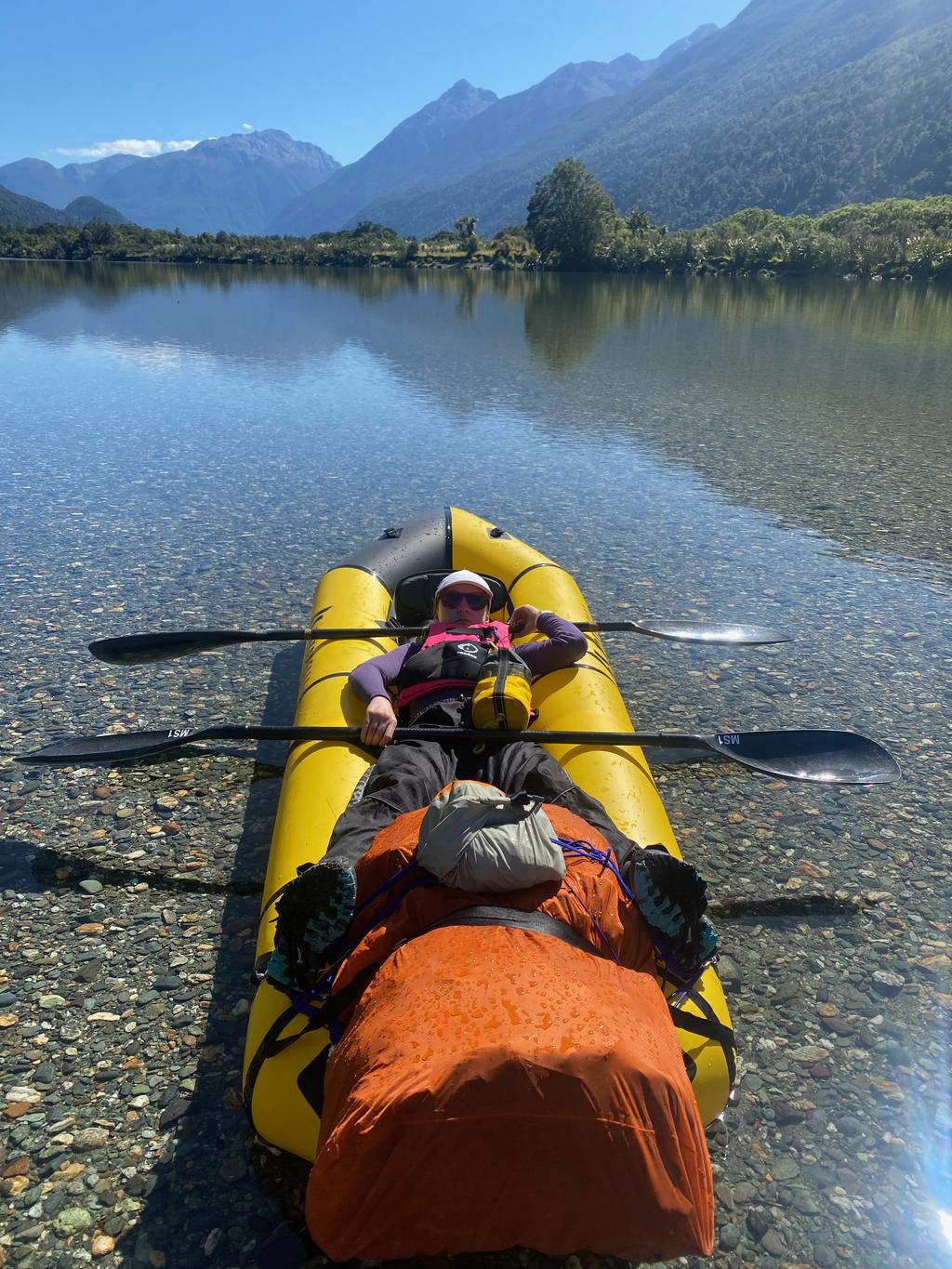
📷: Finn Le Sueur
Day 6: Out via Hidden Falls Hut
22.55km (440m 🆙, 387m🔻) in 5hr 11min @ 4.35km/hr.
We had a nice sleep-in this morning, too. All we had to do was walk out and find a campsite on Milford Rd. Easy!
We tried to give the bench and sinks a good clean. The water collection system for the hut was/has been broken for a couple of weeks and people had been leaving food scraps in the sink. Gross.
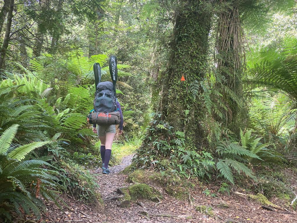
We got on the trail at 11:30am and Jen set a good pace. The forest is beautiful and lush and the trail is extremely well-formed. On the level of a great walk, almost. I will note that you get a much superior view of the mountains from the river than from the track, however!
We lunched at Hidden Falls Hut before continuing to the car. The afternoon heat had set in and we were feeling much less enthusiastic than the morning. Still, we got out in good time and had a thorough bath in the Whakatipu Kā Tuka (Hollyford) before driving out.
📷: Finn Le Sueur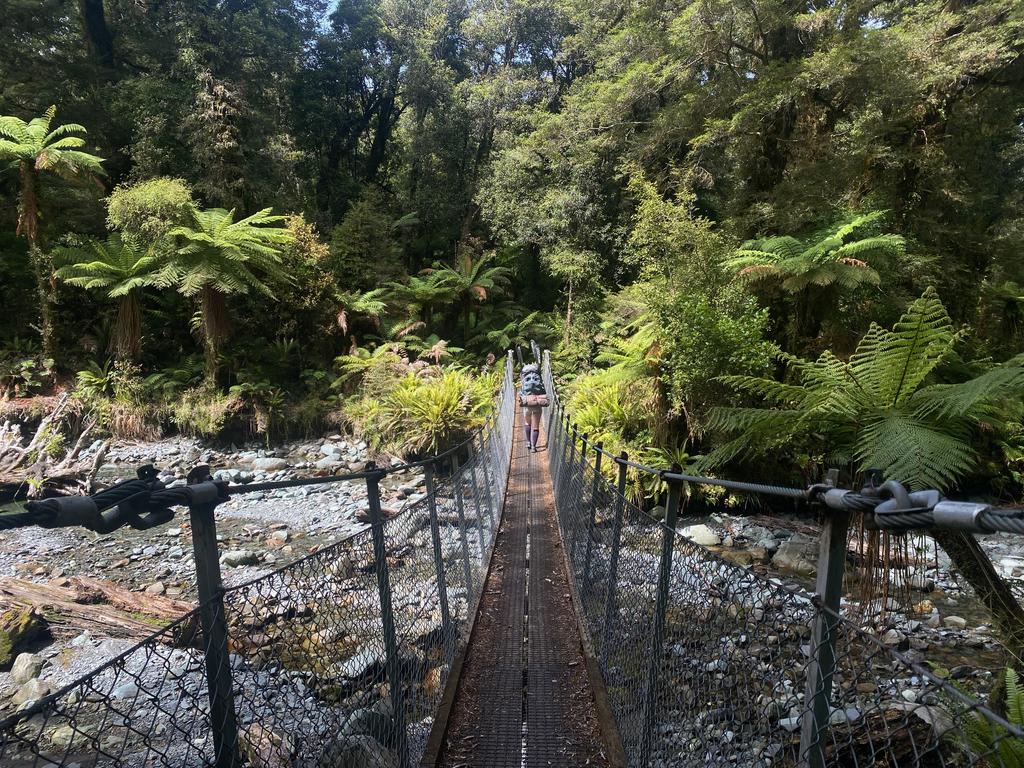
📷: Finn Le Sueur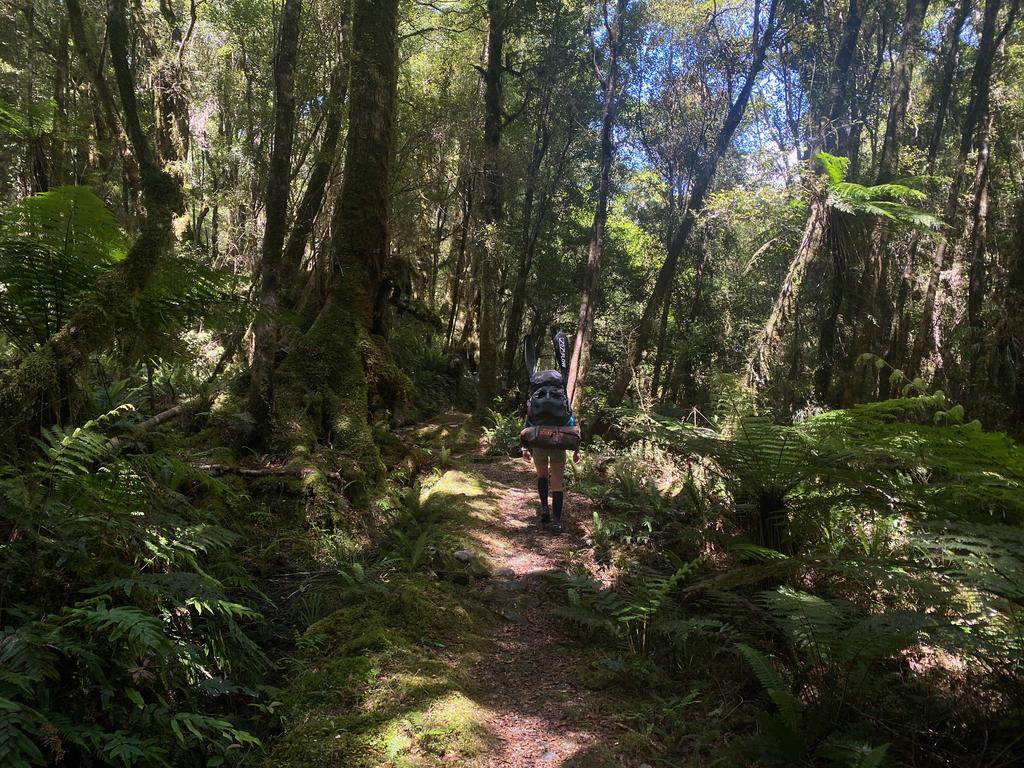
📷: Finn Le Sueur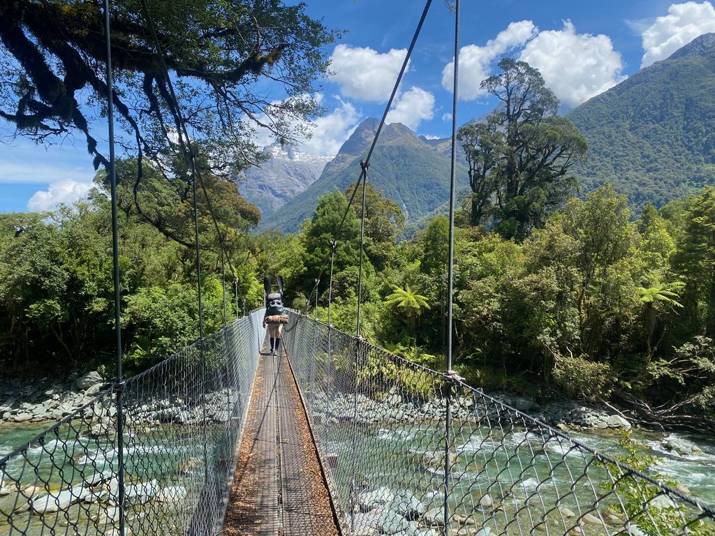
📷: Finn Le Sueur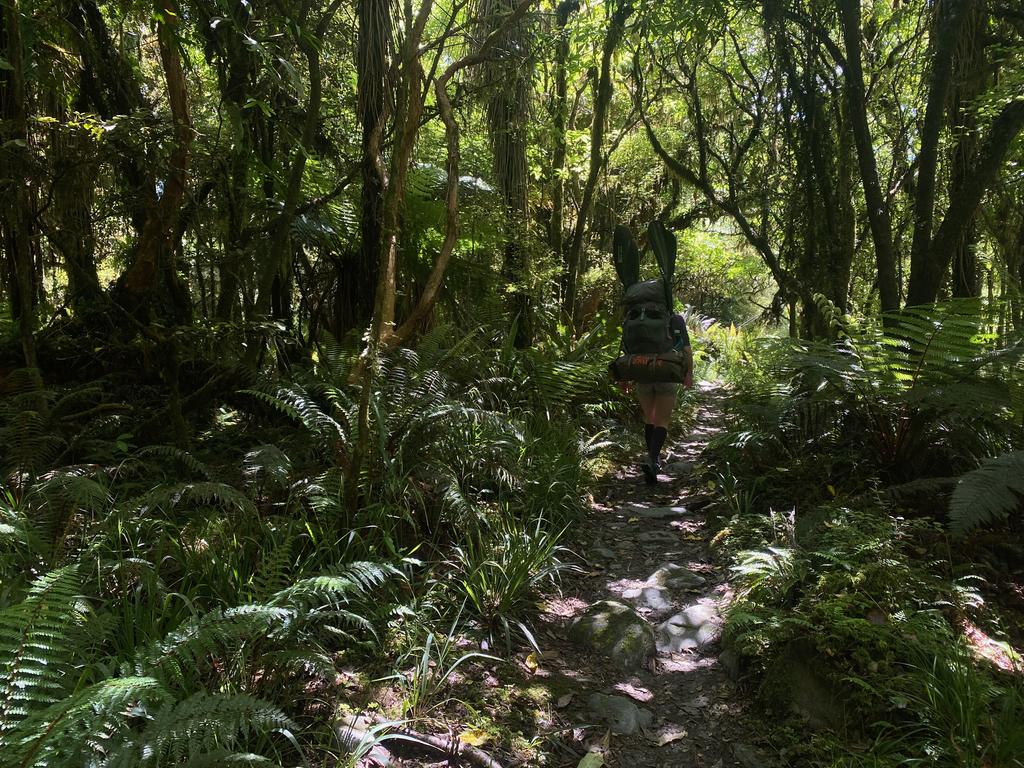
📷: Finn Le Sueur