Edwards-Hawdon
Activity Date:
Updated:
People:
Finn,
Jen,
Thomas F
| Sat May 30, 2020 Download GPX Edwards-Hawdon: Day 1 - Edwards Hut | 10.18km 4:04:35 | 2.50km/hr 748m ⬆️, 304m ⬇️ |
| Sun May 31, 2020 Download GPX Edwards-Hawdon: Day 2 - Hawdon Hut | 14.84km 8:06:35 | 1.83km/hr 658m ⬆️, 929m ⬇️ |
| Mon Jun 1, 2020 Download GPX Edwards-Hawdon: Day 3 - Out | 13.28km 3:06:37 | 4.27km/hr 130m ⬆️, 305m ⬇️ |
| Total | 38.31km 15:17:47 | 2.50km/hr 1536m ⬆️, 1538m ⬇️ |
Comments Section
Day 1: Greyneys Shelter to Edwards Hut
Start the hike by sneaking across State Highway 73 and through the pedestrian tunnel under the train tracks. From here follow the gravel track westward until the road starts to bend away. Here you can cross the Bealey River and follow the trail heading up The Mingha River in the short grass for a short while.
You should take a right turn, crossing The Mingha River just before the Edwards River joins. There is a trail in the bush on the south side of the Edwards Valley - hopefully, you can spot the large orange triangle across the river!
The Bealey River can be formidable in high flows, but we encountered it after a significant dry period, measuring approximately 60 cubic meters per second (cumecs) at the Waimakariri Bridge. You should not have any trouble crossing at this flow. Nor should you with the Edwards River East Branch crossing further up bother you.

📷: Finn Le Sueur
From here the track is well-marked, with some riverbed travel indicated by the ever-trusty cairns and a couple of arrows. You should not at any point have to cross the river, preferring to stay on the south-east side at all times.
Shortly before the Edwards River East Branch merges with the main river there is a section of track on the bank to avoid the river which is hard up against the true left (facing downstream) bank of the valley, so keep an eye out!
Immediately after crossing the Edwards River East Branch, the track climbs steeply, save for short sharp descents for most of the way to Edwards Hut. We found this hard and warm work, even in the winter temperatures.
Keep an eye out for great views up and down the valley, some large landslides and a great waterfall!
Edwards Hut is a well fitted out 16-bunk hut with fire, two tables and some triple-bunks! Enjoy it.
Day 2: Edwards Hut to Hawdon Hut
To Taruahuna Pass
The day starts with a very gentle climb, following a generally well-formed path through the tussocks. It is occasionally hard to find the path but just keep heading up the valley and stay on the true left of Edwards River.
If the weather is warm, or the river very low, you can follow the orange markers. This would have you make unnecessary crossings which can be avoided!
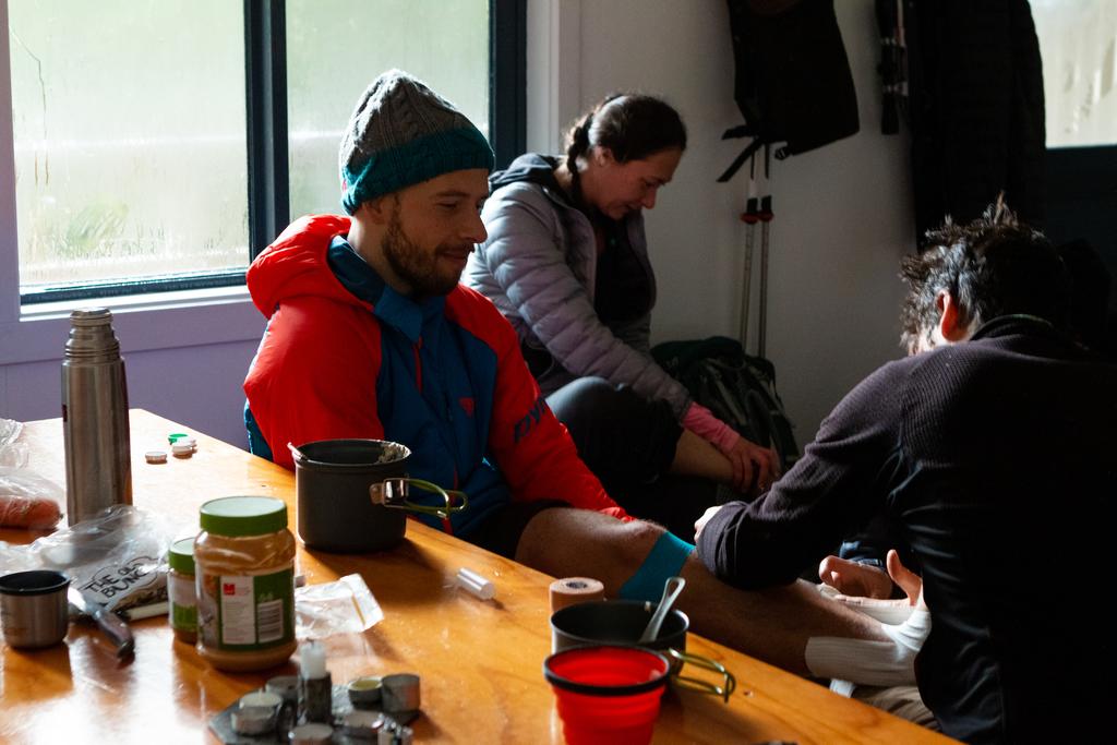
I forgot how to walk, kicked a rock and went down. Dosed up on painkillers but feeling pretty stupid, we plodded on.

📷: Jennifer Rouse
To Tarn Col
We lost the trail as we came up to the pass, so instead we chose to stick to the east side of the valley heading towards the climb Tarn Col.
This was Jen’s favourite part of the day, hopping across the boulders like a bit of a mountain goat. The frost was yielding to the sun but the rocks were very treacherous if you weren’t careful!
The climb to Tarn Col is very steep but there are a few good options to get up there.
- The left: Jen and I went this way, it was unrelenting but there were many tussocks to grab onto and it always feels pretty sturdy.
- Middle: Tom took this one and it is probably the most walked route. It goes up the waterfall (not so good in the rain?), lots of tussocks to hold onto and there are some steps kicked into the hillside.
- Right: Dry all the way, some steps kicked into the dirt and seemed pretty good according to some fellow trampers.

📷: Finn Le Sueur
To Walker Pass
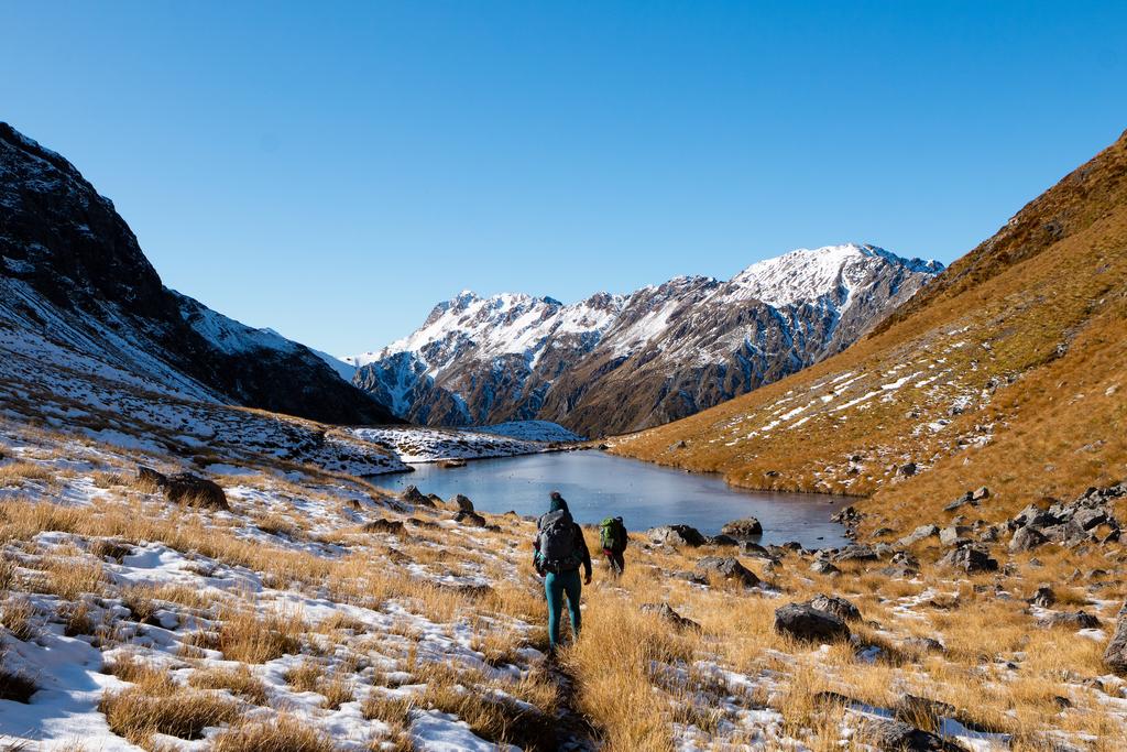
The descent to Otehake River East Branch is very steep but extremely beautiful. It was especially slow-moving for us as there was snow and ice up at Tarn Col and it was very frosty the whole way down. It’s worth taking your time. You will have to cross the river a few times but we avoided wet feet through this section!
At the bottom of the descent you will meet the Otehake River and will have to cross it a few times during the climb up to Walker Pass.
To Hawdon Hut
From the pass the track makes its way through the valley floor, crossing the Twin Fall Stream many times and it is generally very boggy. Wet feet is probably unavoidable!
The tarn at Walker Pass is amazing. A great place for a break and snack. The track climbs steeply and briefly before descending steeply into Hawdon Valley. This section was very slow going due to the permafrost on the rocks and dirt, not to mention my severely sprained ankle (again! 🚑).
Thankfully the track flattens out in the last 10 minutes and is extremely beautiful in the dense forest.
Day 3: Hawdon Hut to Hawdon Shelter
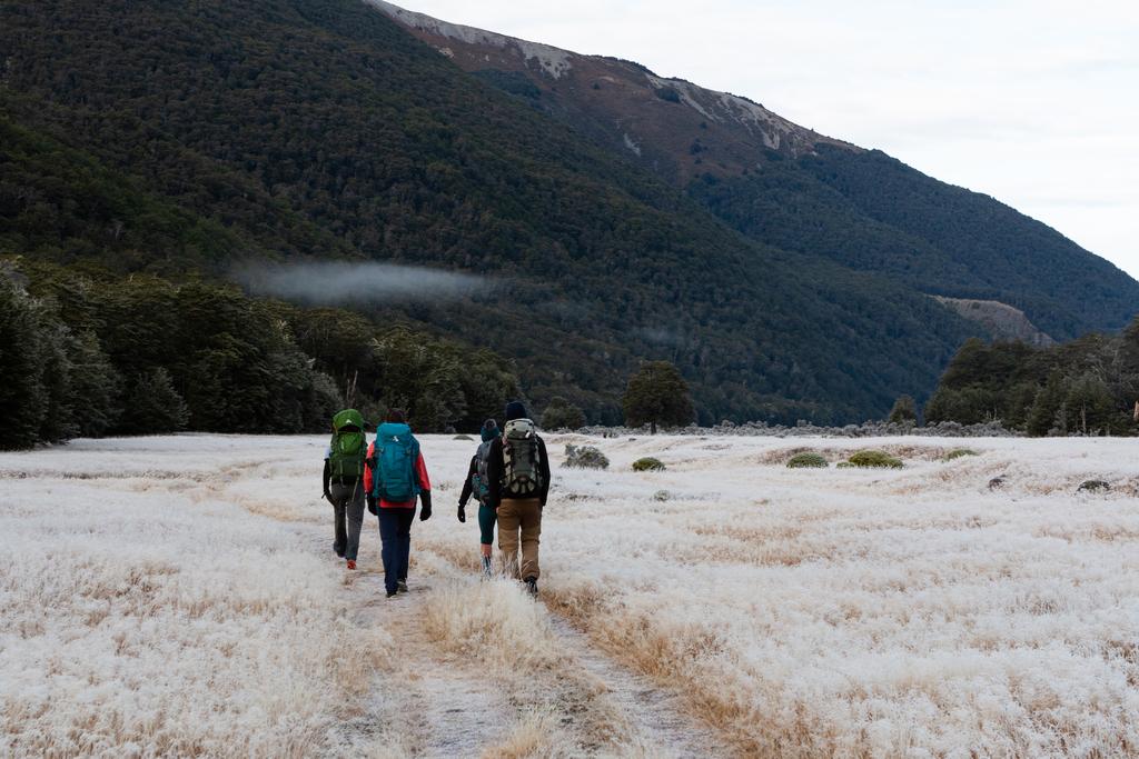
This day is short and relatively unremarkable. The leg to Hawdon Shelter is downhill, with only a small climb back up to State Highway 73, if you have to hitch-hike back to your car. Shortly after leaving the hut, you cross Discovery Stream, which is one of the more major minor crossings of the day. You cross The Hawdon and the East Hawdon about one third of the way down, before meandering down the grassy areas which were once riverbed, all the way to the shelter.
When the river levels are low, this section of the trip will pose no problem, but it would be worth being cautious, as always, if it has rained recently.

📷: Finn Le Sueur
It is also worth noting that most traffic is east-bound at the end of a weekend, which makes it a little more difficult to hitch-hike westwards towards Greyney’s Shelter to pick up your car. More difficult, but not impossible! If you were feeling brave you could leave a bike, or go for a bit of a run. If I hadn’t sprained my ankle, Jen and I were going to jog it, but alas.
🏃♂️