Comyns-Cookies Circuit
Activity Date:
Updated:
People:
Finn,
Jen
| Fri Nov 11, 2022 Download GPX Comyns-Cookies D1: Comyns Hut | 16.28km 4:05:36 | 3.98km/hr 938m ⬆️, 536m ⬇️ |
| Sat Nov 12, 2022 Download GPX Comyns-Cookies D2: Cookies Hut | 15.68km 5:02:27 | 3.11km/hr 234m ⬆️, 394m ⬇️ |
| Sun Nov 13, 2022 Download GPX Comyns-Cookies D3: Out | 14.14km 3:32:20 | 3.99km/hr 429m ⬆️, 683m ⬇️ |
| Sun Nov 13, 2022 Download GPX Comyns-Cookies D3: Bike Shuttle | 12.03km 0:39:44 | 18.16km/hr 256m ⬆️, 224m ⬇️ |
| Total | 58.13km 13:20:07 | 4.36km/hr 1857m ⬆️, 1837m ⬇️ |
Comments Section
Day 1: Comyns Hut
16.28km (938m 🆙, 536m🔻) in 4hr 5min @ 3.98km/hr.
Detailed Timings
- 1:05 to Conservation Area (4km)
- 0:35 to Turton’s Saddle (1.85km)
- 0:42 to A Frame Hut for 17min lunch (3.53km)
- 1:26 to Comyns Hut (6.76km)
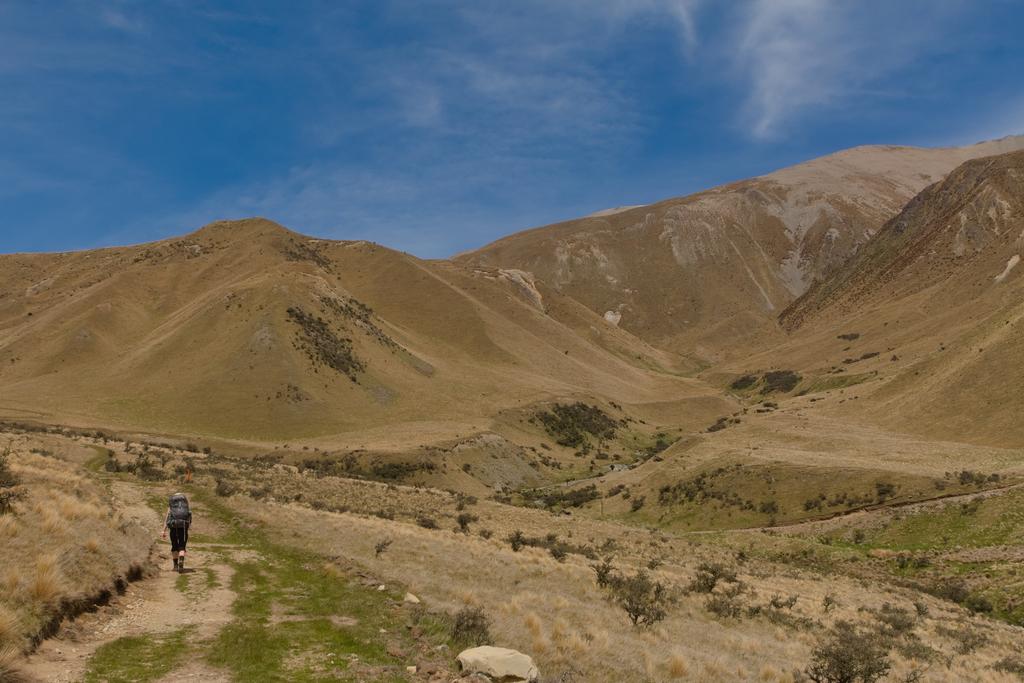
The track starts as an overgrown single-track which works its way up an easement on the east side of Glenrock Stream. Some of the trail is eroding into the stream but simply follow it up. The ground trail is obvious and some poles lead the way.
After a short while, it joins a 4WD farm track which you will follow through to Comyns Hut. The track climbs steadily, crossing a couple of tributaries which will dry up during the summer months. At the bottom of the switchbacks, you cross a fenceline out of farmland into Hakatere Conservation Park.
After you gain Turton’s Saddle a nice ridgeline takes you down towards A Frame Hut. We found the saddle infested with flies - we suspect that they hatched from larvae in the mud. The saddle looks like it would be a bit marshy during winter. This is probably a short-lived occurrence, however. A Frame Hut an extremely cute and is located next to Comyn’s Stream which comes down from Black Hill Range. It carries quite a lot of water. We felt that we were far enough from farmland to re-fill our bottles here.
After A Frame Hut, the track merges with Turton’s Stream, which you can meander down, following the easiest-looking route to you. Make sure you move true left onto the 4WD track that climbs to Mutton Gully. A short gorge exists below the gully, although we did hear later that it is passable in low river flows. Perhaps a good adventure for another time! We also spotted three sheep grazing at the top of the gorge on some nice green grass. They were looking pretty shaggy, so I imagine they got out a while ago!
As you round the corner out of Mutton Gully, Comyns Hut will pop into view. It is situated on some lovely tussocked flats just upstream of the confluence with the Hakatere (North Branch Ashburton River).
📷: Finn Le Sueur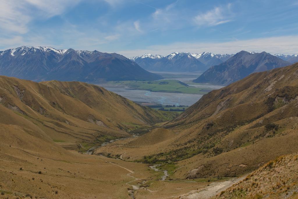
📷: Finn Le Sueur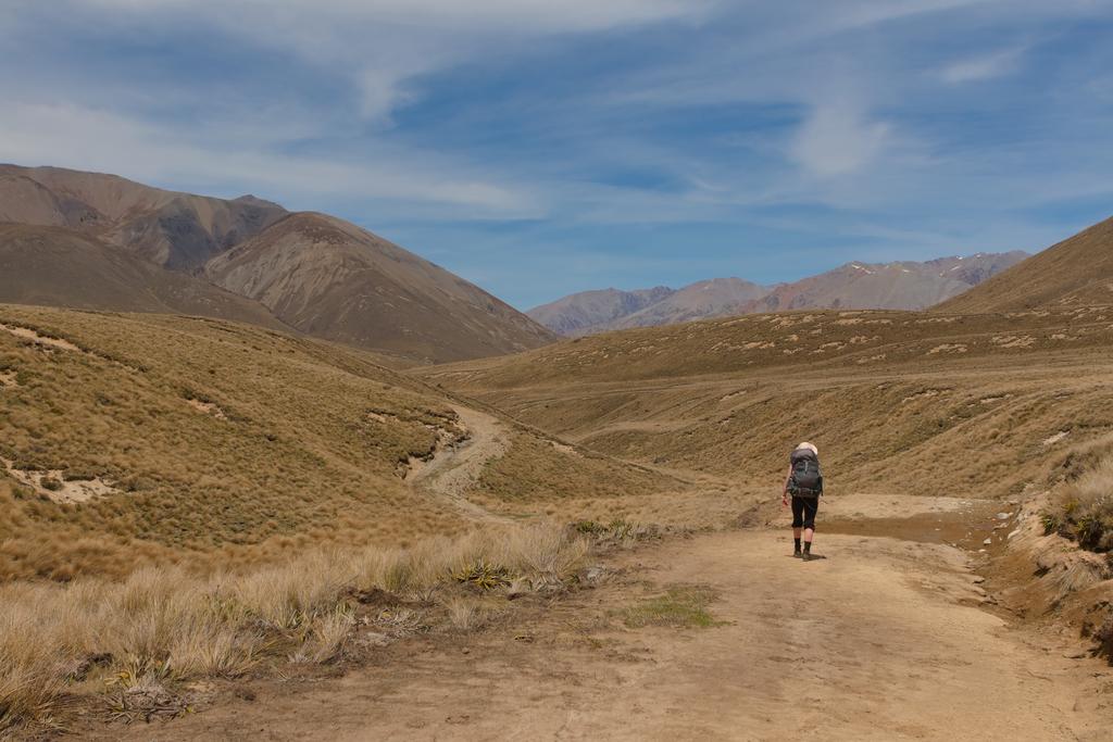
📷: Finn Le Sueur watches us pass by.](https://imagor.lesueur.nz/98pU-609Pw38jFjK-35-g8Cjqo8=/fit-in/1024x/blog/comyns-cookies-circuit/IMG_8735.jpg)
📷: Finn Le Sueur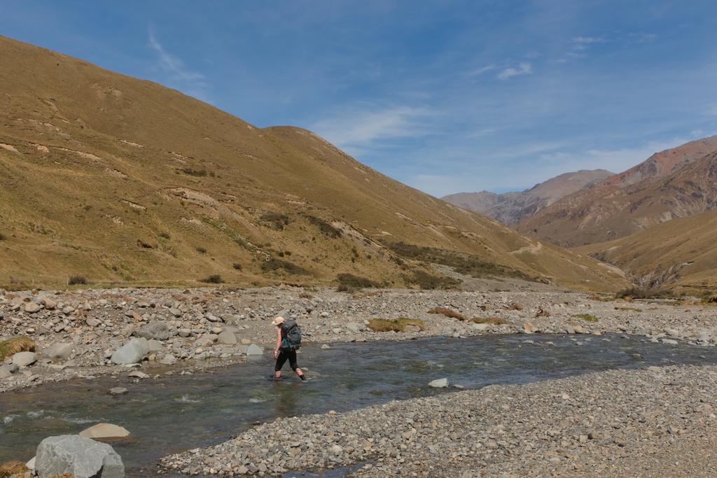
📷: Finn Le Sueur
Day 2: Cookies Hut
15.68km (234m 🆙, 394m🔻) in 5hr 2min @ 3.11km/hr.
Detailed Timings
- 1:09 to Kings Drive Stream (3.4km)
- 1:01 to Boundary Creek (4.35km)
- 1:45 to Cookies Point for 20min lunch (4.85km)
- 0:47 to Cookies Hut (3.08km)
We woke early due to some kids in the hut and were ready to go by 8 am. The forecast for the day was for rain to arrive in the afternoon, so we were happy to get going. The skies were blue, which was a good omen and we hoped it would last.
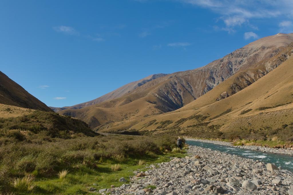
The first hour of travel down the Hakatere is delightful. The valley is wide and the river low. Going is easy. There are a number of nice campsites down here, so you could definitely bypass the hut if it’s looking busy. Kings Drive Stream is quite a large tributary and river crossings after that point require a little more care and attention.
Another hour of walking will see you arrive at the Boundary Creek confluence - another large tributary. At this point, the valley narrows significantly and you enter a gorge. The going is more challenging through here, but we did not find it impassable. There is some clambering on rocky banks when crossing is not an appealing option. One particularly sharp horseshoe bend looks like it can be climbed over, but we opted to cross the river and got wet butts instead.
In the last 1.5km to Cookies Point, the gorge slowly starts to open out. The Hakatere still flows fast and deep but the consequences of going for a swim as not as severe. We lunched at Cookies Point in the company of 100+ gulls - possibly Karoro (Souther black-backed gull).
A short 50min walk up Swift River sees you at Cookie’s Hut. Thankfully despite its fast-flowing nature, Swift River doesn’t carry much water and presented no challenges. Interestingly, however, Swift River was a murky white colour. This was a stark contrast to the Hakatere which was a beautiful clear blue. It must be picking up lots of sediment on its way down - but I’m not sure why the Hakatere would not also pick up sediment.
Cookie’s Hut is in a great location and condition, with views up Middle Creek and Swift River towards Tribulation Hut. It also has a fireplace, but the glass pane has fallen out (or been removed?).
📷: Finn Le Sueur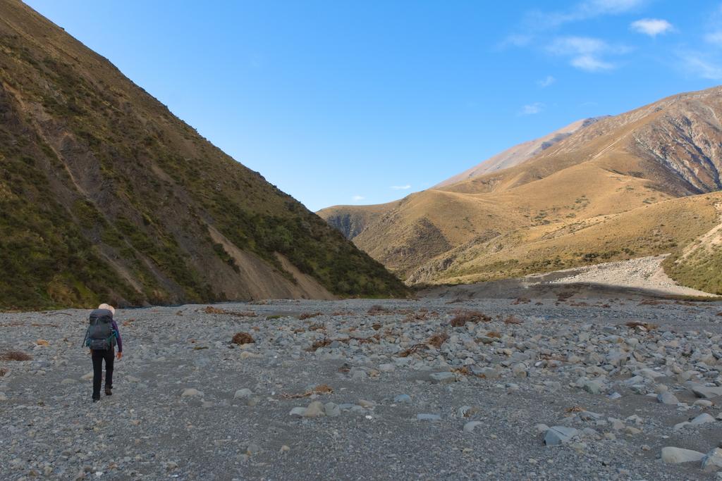
📷: Finn Le Sueur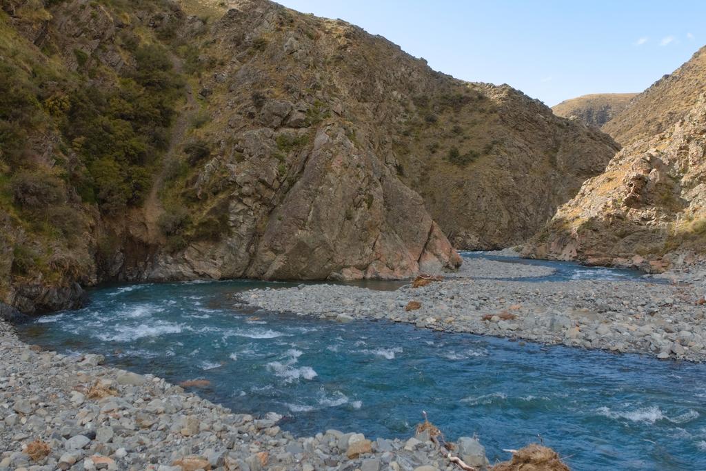
📷: Finn Le Sueur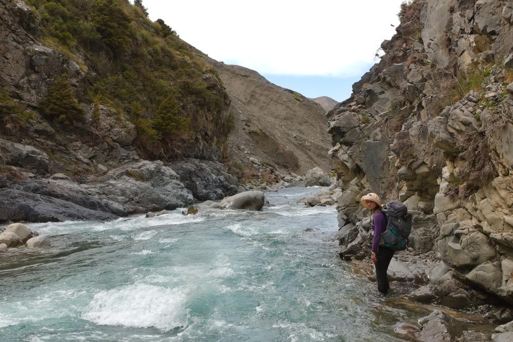
📷: Finn Le Sueur at Cookies Point keeping us company over lunch.](https://imagor.lesueur.nz/90JJOVUpcVxAqqmPhWsyo5z12CI=/fit-in/1024x/blog/comyns-cookies-circuit/IMG_8798.jpg)
📷: Finn Le Sueur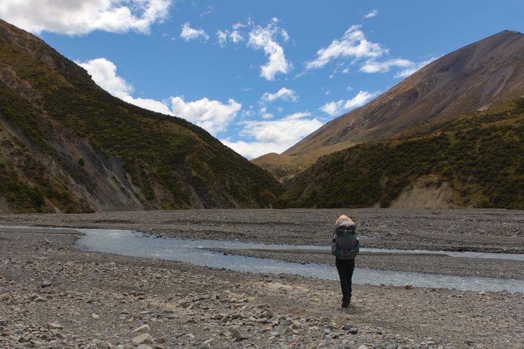
📷: Finn Le Sueur which we accidentally disturbed on Swift River.](https://imagor.lesueur.nz/ePByLTD2pJucIhTigjHSM4BNB5g=/fit-in/1024x/blog/comyns-cookies-circuit/IMG_8809.jpg)
📷: Finn Le Sueur
Day 3: Out
14.14km (429m 🆙, 683m🔻) in 3hr 32min @ 4.00km/hr.
Detailed Timings
- 0:54 to Tribulation Hut (3.9km)
- 1:15 to Redcliffe Stream (5.15km)
- 1:23 to road (2.98km)
- 0:40 bike shuttle (12km)
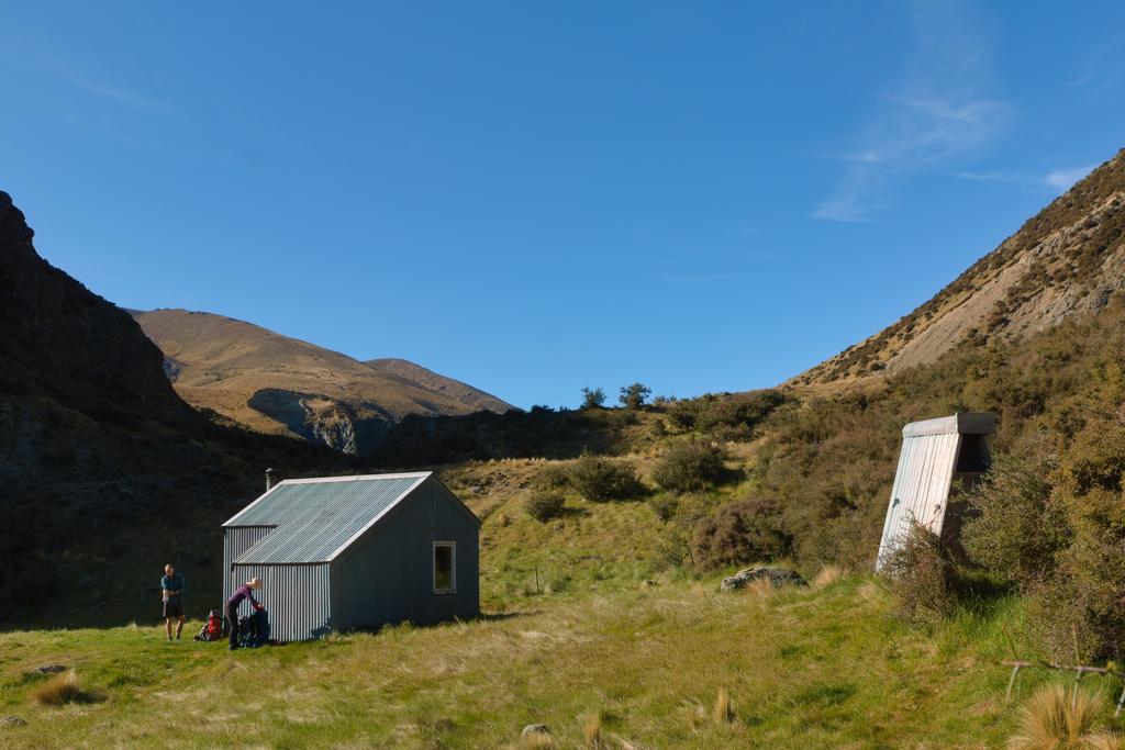
The walking starts very easy by simply following the Siwft riverbed upstream towards Tribulation Hut. The river has eroded the bank away such that there is a 2m cliff only a few meters from the hut. The hut itself is in good condition and has a new longdrop after DOC reported “lots of bombs in the bushes”. Nice.
We found the supposed 4WD track north of Tribulation non-existent in amongst the overgrown matagouri. We did our best to regain the riverbed as soon as possible and meander up to the westernmost 4WD track marked on Topo250. The easternmost track does not appear to exist anymore.
The 4WD track ends on the edge of a very large cloverfield that covers the entirety of Cookies Flat. Equal parts impressive that they managed to grow it, and disgusting that the station felt the need to intensify some beautiful high-country like that.
Follow a single track alongside the cloverfield until you cross into the top of Redcliffe Stream. The track alongside Redcliffe is overgrown, eroding away hard to follow at times. Cross the fence as you feel appropriate. After briefly merging onto the streambed itself it climbs steeply over a ridgeline and into Jack Stream. It’s unclear to me why this is strictly necessary - I think you could continue down Redcliffe Stream if you felt like it!
Bike Shuttle
12.03km (256m 🆙, 224m🔻) in 0hr 39min @ 18.16km/hr.
I had locked a bike to a bush at the track start on Double Hill Run Rd. Jen had some lunch and a dip in the river while I slogged back to the car in the beating sun.
📷: Finn Le Sueur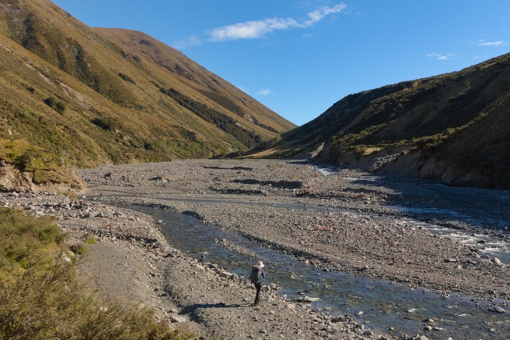
📷: Finn Le Sueur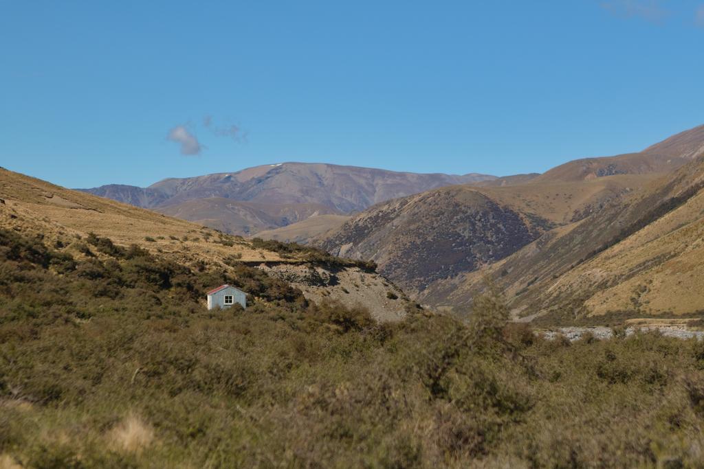
📷: Finn Le Sueur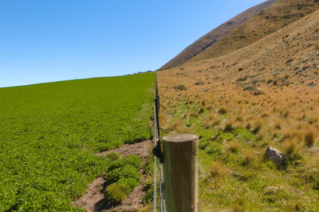
📷: Finn Le Sueur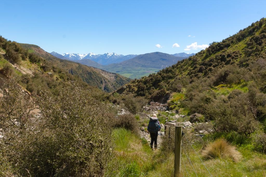
📷: Finn Le Sueur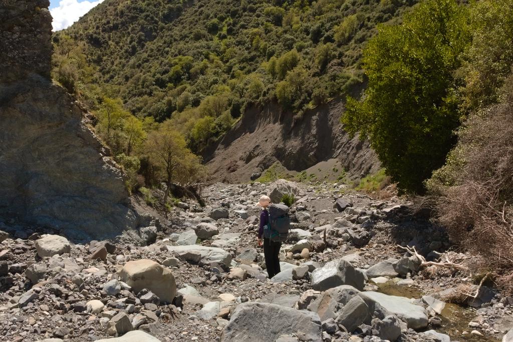
📷: Finn Le Sueur