Alps2Ocean
Activity Date:
Updated:
People:
Finn,
Jen,
Emily H,
Katherine M
| Thu Jan 9, 2025 Download GPX D1: To Lake Poaka Campsite | 91.17km 10:14:48 | 8.90km/hr 601m ⬆️, 870m ⬇️ |
| Fri Jan 10, 2025 Download GPX D2: To Ahuriri Bridge Campsite | 75.97km 8:55:38 | 8.51km/hr 676m ⬆️, 769m ⬇️ |
| Sat Jan 11, 2025 Download GPX D3: To Akatarawa Camp Site | 45.41km 5:58:14 | 7.61km/hr 552m ⬆️, 693m ⬇️ |
| Sun Jan 12, 2025 Download GPX D4: To Duntroon Domain | 55.10km 5:57:50 | 9.24km/hr 287m ⬆️, 427m ⬇️ |
| Mon Jan 13, 2025 Download GPX D5: To Ōamaru! | 54.82km 6:11:35 | 8.85km/hr 602m ⬆️, 738m ⬇️ |
| Total | 322.47km 37:18:05 | 8.64km/hr 2718m ⬆️, 3497m ⬇️ |
Comments Section
Day 1: To Lake Poaka Campsite
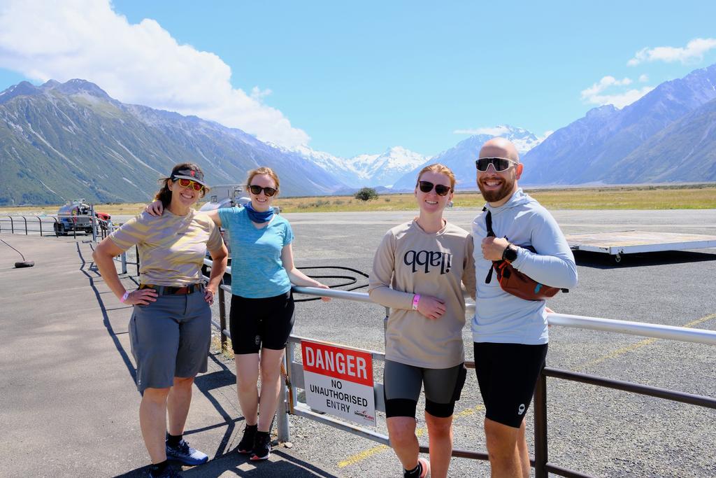
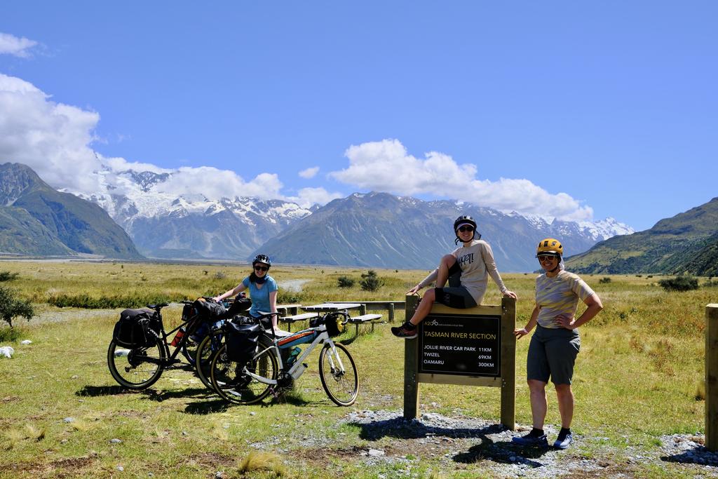
The sun was shining and we were excited to head off with our fully laden bikes! After a false start with the vehicle relocation and having our helicopter delayed by 1.5 hours, we finally got to the beginning of the trail!
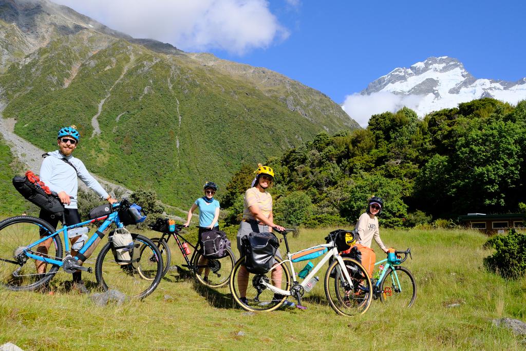
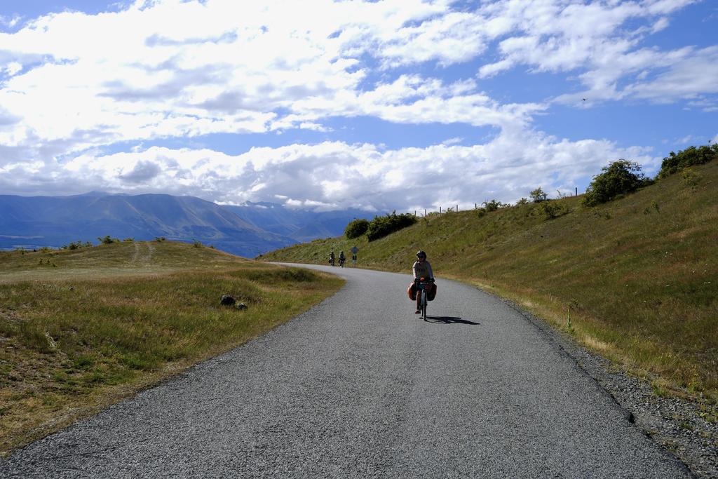
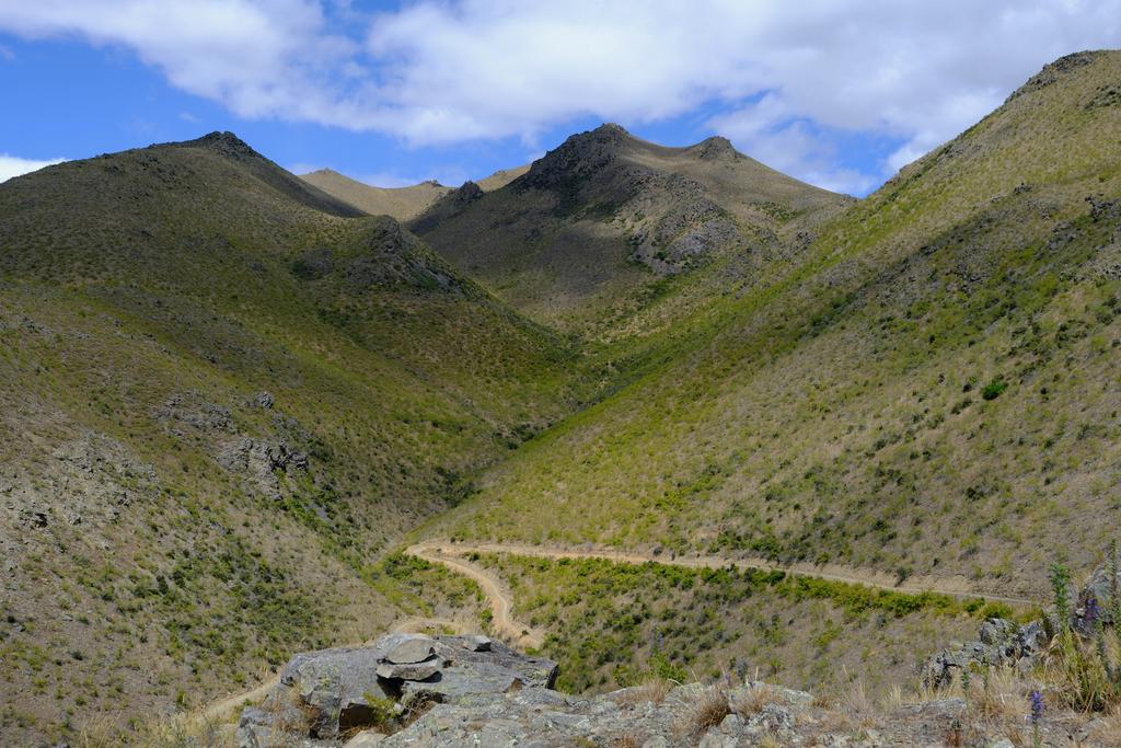
The first part of the trail is easily the slowest-going and roughest section, probably because it is the least cycled (helicopters are expensive). Still, it is plenty beautiful and we had a nice time cycling in the sun. Our first mechanicals of the trip were my fork bags coming loose, and then Jen’s crank falling off (twice)! With both of those fixed, we trundled on. The track becomes better and better as you go along, coming onto the road for a while before re-joining a dirt track along the bottom of Lake Pukaki and the Pukaki Flats Track. Super beautiful.
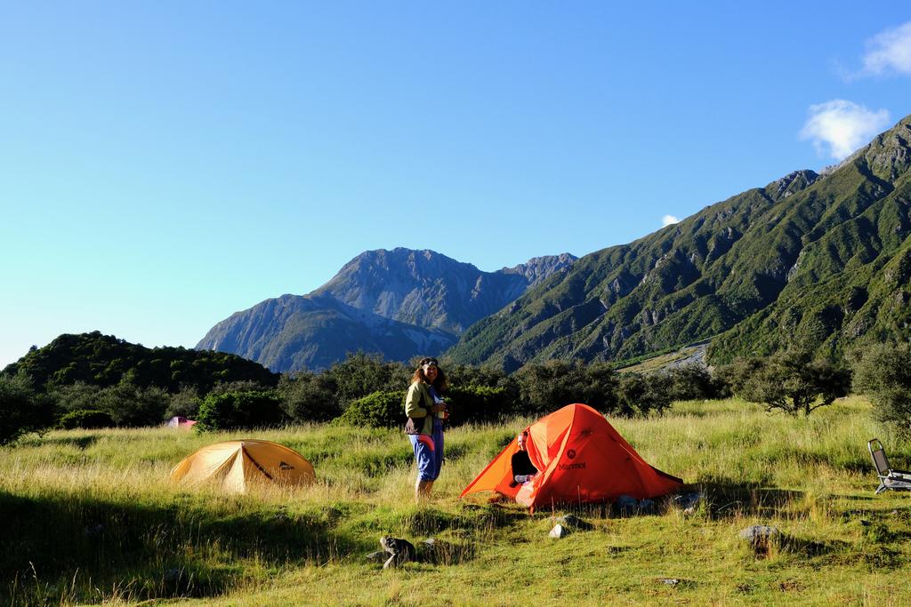
We trundled into Twizel for a quick pre-dinner ice cream and then headed off to Lake Poaka Campsite. The campsite was spacious and not very busy. The only water options are the lake (filled with ducks) and the canal. We opted for the canal which was only a short walk up from our tents.
📷: Finn Le Sueur
📷: Kind Stranger
📷: Kind Stranger
📷: Finn Le Sueur
📷: Finn Le Sueur
Day 2: To Ahuriri Bridge Campsite
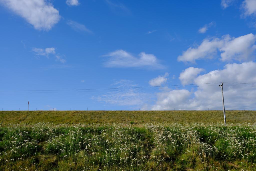
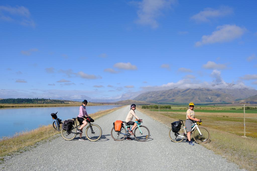
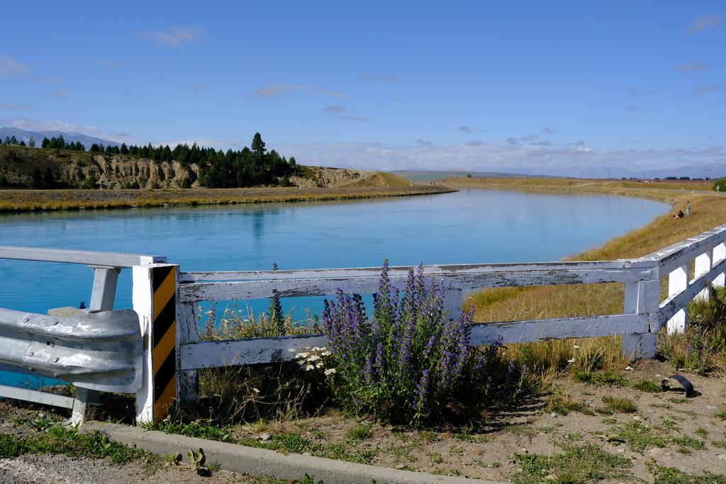
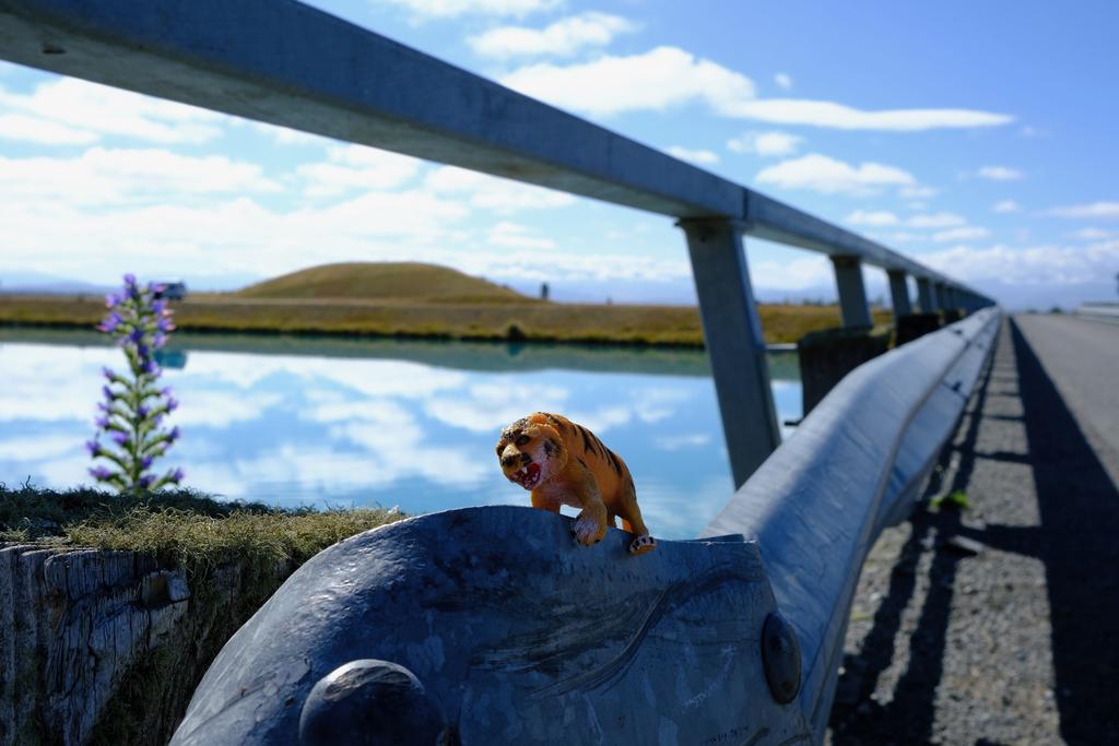
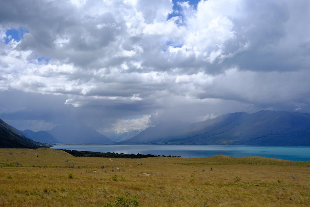
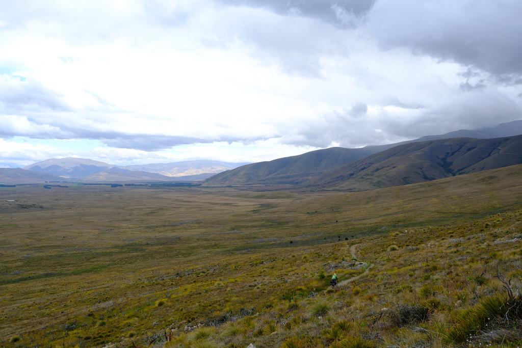
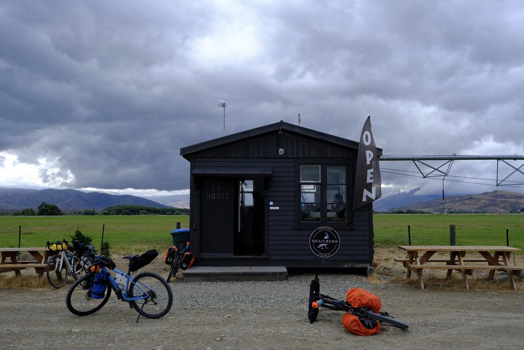
The day started alongside the canal, offering good travel down to Lake Ōhau. From there it meanders around the lakeside on a nice gravel track and joins the road near Lake Middleton. From there it follows the road up to Lake Ōhau Lodge where we happily lunched and drank a lot of coffee (real coffee!). Rain clouds loomed as we headed off up Tarnbrae Track and some thunder boomed in the distance. We had a period of moderate rain reach us but it dissipated before we reached camp, allowing us to dry off a little which was appreciated. Also appreciated was the 24/7 hut with vending machines of drinks and ice cream near the end of Quailburn Road. So good!
But, before we reached the ice cream we passed through Quailburn Campsite which would be a nice place to stay. We found it exceptionally quiet with a good loo and a creek nearby. This would be a great option!
Ahuriri Bridge Campsite is very large and offers many possible camping sites but has the downfall of being near the main road (traffic noise) and lacking a good water source. The only real option is one of the small braids of the Ahuriri River, which has a lot of farming upstream. Not exactly the most enticing. We opted to boil the water for dinner and fill our drink bottles in Ōmarama the next day.
📷: Finn Le Sueur
📷: Finn Le Sueur
📷: Finn Le Sueur
📷: Finn Le Sueur
📷: Finn Le Sueur
📷: Finn Le Sueur
📷: Finn Le Sueur
Day 3: To Te Akatarawa Campsite
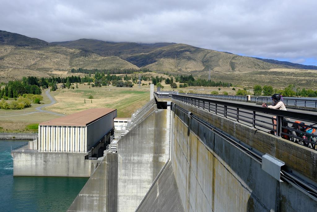
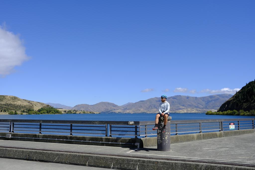
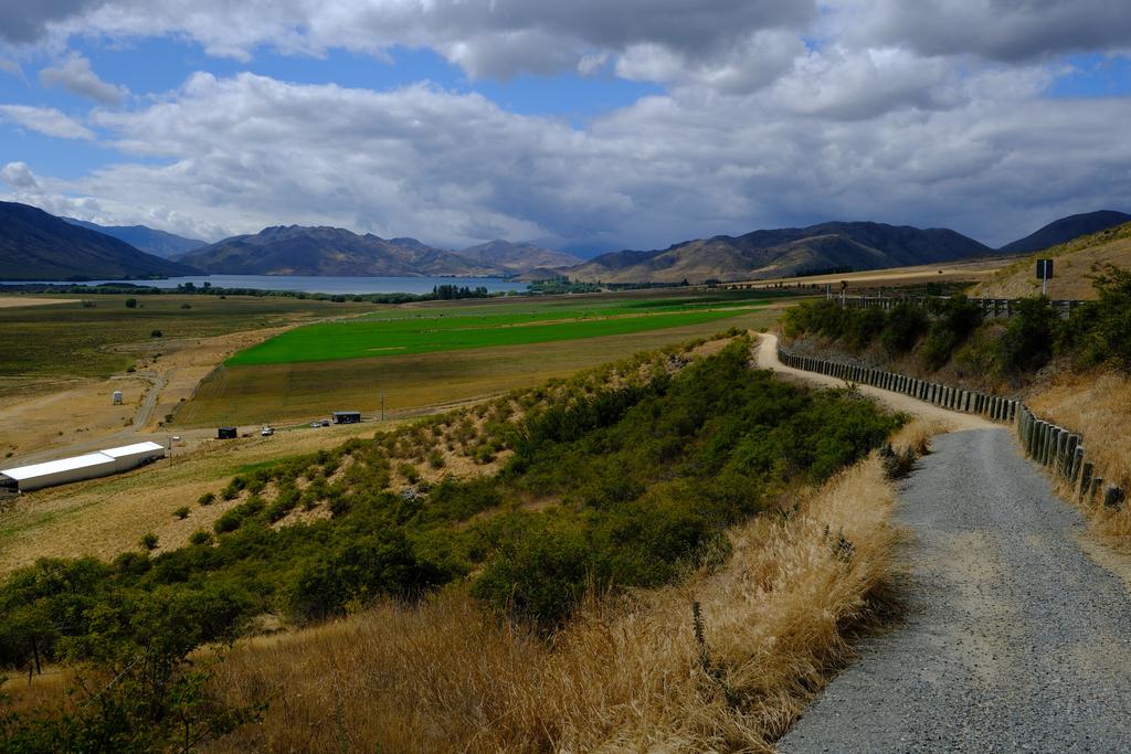
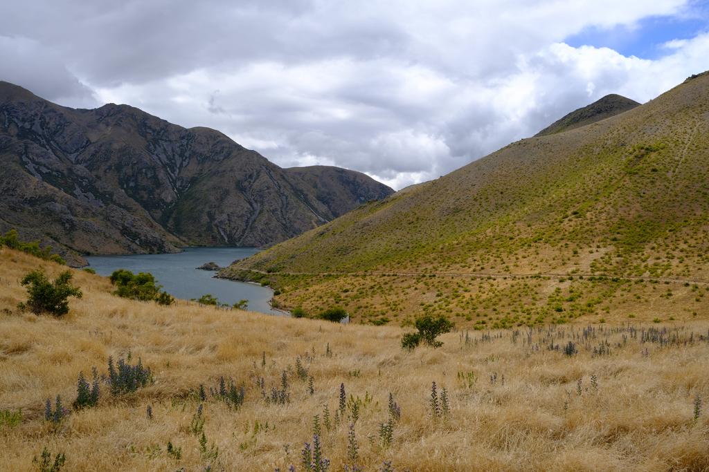
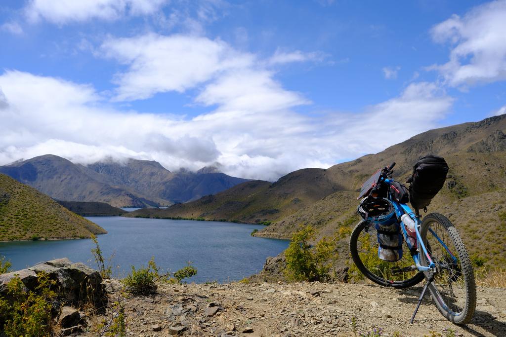
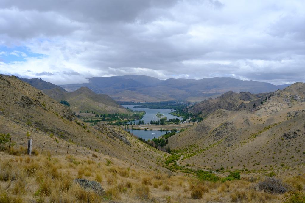
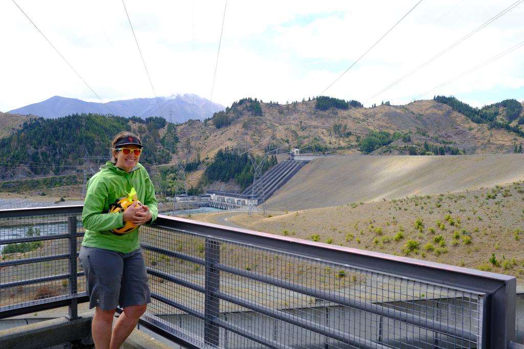
In the morning we trundled into Ōmarama to pick up some cheese and salami for our next few lunches; topped up our water bottles at a tap we found and headed off toward Lake Benmore. The track is very nice for the entirety of this day and it was all very straightforward. The only climbing of significance is a few short sections around the lake after Sailor’s Cutting. From there is a fun descent down to Benmore Dam which is all very impressive. Em was particularly stoked to see it and we spent a good amount of time looking around before heading down the north side of Lake Aviemore to Te Akatarawa Campsite.
The campsite is quite large, although, not as large as Whānganui Campsite just down the road. We found a flat space, pitched our tents, paid our fees, and enjoyed the evening sun. It turned out we were down the more “retired” end of the campground, so it was very relaxed and peaceful.
📷: Finn Le Sueur
📷: Finn Le Sueur
📷: Finn Le Sueur
📷: Finn Le Sueur
📷: Finn Le Sueur
📷: Finn Le Sueur
Day 4: To Duntroon Domain
We had quite a lazy morning because we knew we had a shorter day of cycling coming up and didn’t leave camp until about 10:30 am. Once we got going we made good time down Te Akatarawa Road to Aviemore Dam. After that, the trail crosses the dam and follows alongside Otematata Kurow Road until Kurow. We stopped there for lunch at Feliz and Sage Cafe, which we enjoyed. They were kind enough to let us eat our packed lunch, but we did order some coffee, slices and scones. Mmmmmmmm.
From Kurow the track follows a mostly 4WD trail in the forest nearer the Waitaki River. It is quite scenic but occasionally rocky, especially when crossing minor tributaries to the Waitaki.
When you come into Duntroon there is a short detour through the Duntroon Wetland which is all very delightful. There are lots of signposts and it would be well worth taking the time to walk through and enjoy once you have parked the bikes for the day.
The Duntroon Domain makes for a great campsite: there are lots of spaces, a kitchen with kettles, power and a fridge as well as hot showers! Wahoo! We all had a good wash and headed out for dinner at the Duntroon Hotel, which we all quite enjoyed.
Day 5: To Ōamaru
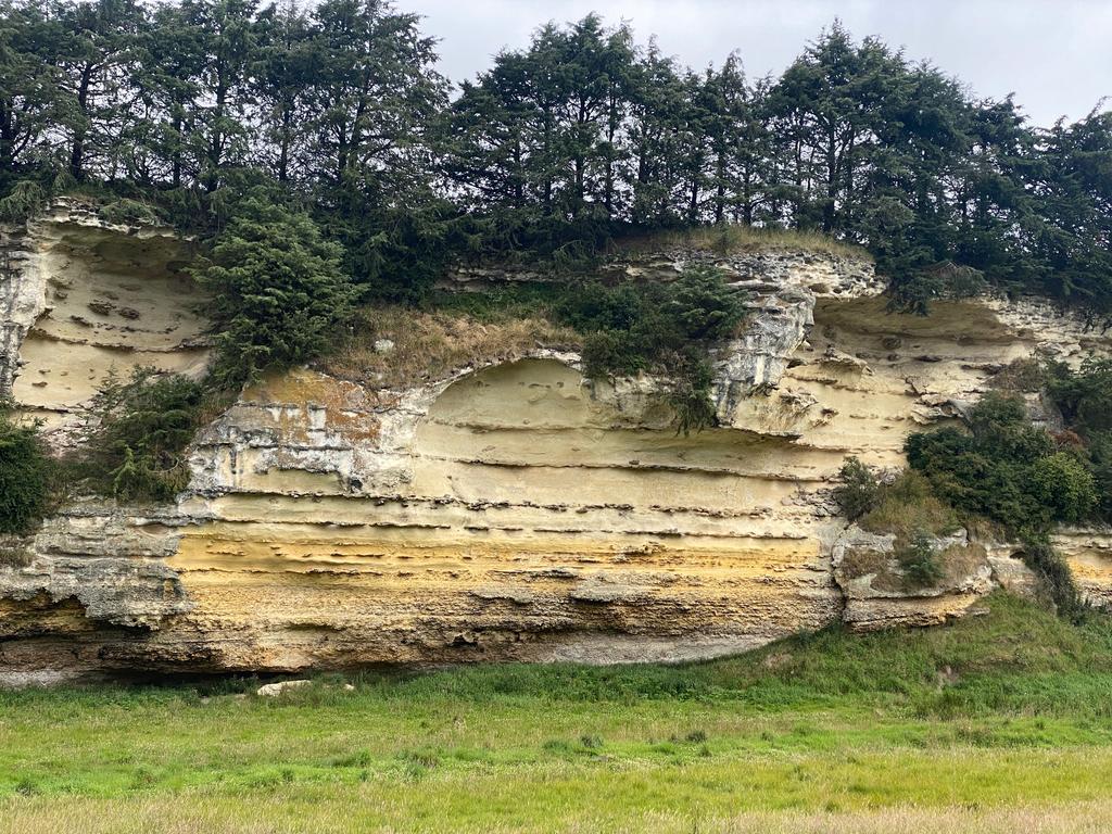
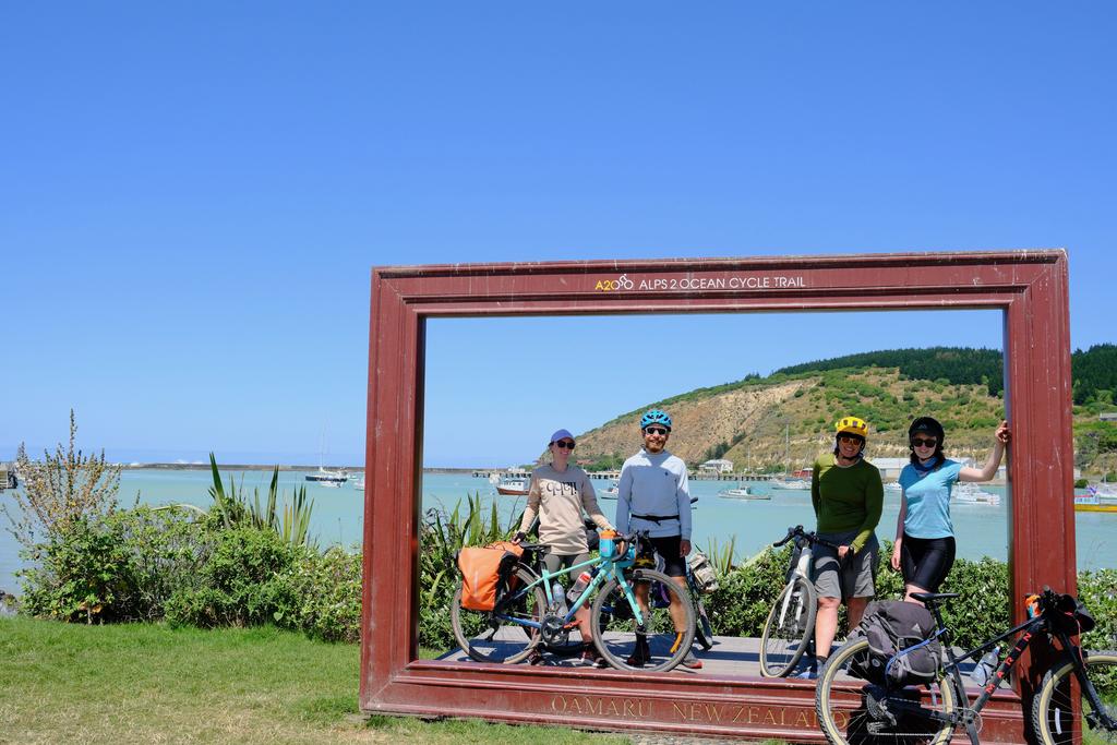
We woke early and were prompt at getting going knowing Katherine and Em had work that night and we had to pick up our car before Cycle Journeys closed. The trail meanders over rolling hills past Elephant Rocks, Māori drawings, whale fossils (which we missed, oops), an old tunnel and cute countryside towns such as Windsor and Enfield.
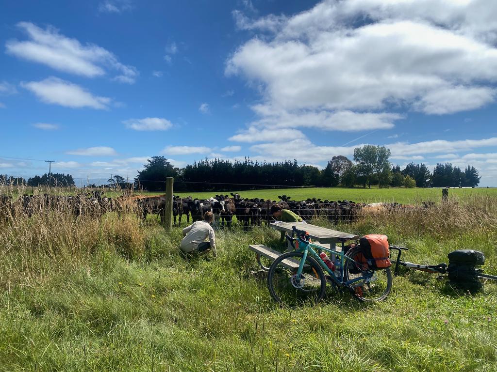
We lunched at Windsor, sitting on the grass outside their Public Hall (very much closed), enjoying the midday sun which had come out after a cloudy start. The last part of this day had a lot of downhill, which made for easy riding on well-formed trails. In the afternoon, we had coffee at the Fort Enfield Tavern and enjoyed a break from the sun. From there, it was one last climb up to Weston and then a slow descent into Ōamaru and out to the wharf! We got a little turned around as we avoided the Hollywood filming that was going on in town, but eventually made it to the ocean and later our car.
